The best walks and hikes around Corte De' Frati
4.1
(71)
683
hikers
28
hikes
Hiking around Corte De' Frati offers routes through a predominantly flat landscape, characterized by agricultural fields and scattered wooded areas. The region features minimal elevation changes, making many trails accessible. Paths often follow local roads or tracks, connecting small towns and villages.
Best hiking trails around Corte De' Frati
- The most popular hiking route is Way of St. Julia Trail: Pontevico to Verolanuova, a 9.8 miles (15.8 km) trail that takes 4 hours 1 minute to complete. This moderate…
Last updated: October 4, 2026
3.4
(5)
8
hikers
15.8km
04:01
50m
50m
Moderate hike. Good fitness required. Easily-accessible paths. Suitable for all skill levels.
5.0
(2)
34
hikers
8.57km
02:11
20m
20m
Moderate hike. Good fitness required. Easily-accessible paths. Suitable for all skill levels.

5.0
(3)
28
hikers
10.4km
02:39
30m
30m
Moderate hike. Good fitness required. Easily-accessible paths. Suitable for all skill levels.
10
hikers
Moderate hike. Good fitness required. Easily-accessible paths. Suitable for all skill levels.
3.7
(3)
5
hikers
9.66km
02:27
30m
30m
Moderate hike. Good fitness required. Easily-accessible paths. Suitable for all skill levels.
Get access to more routes and recommendations from other explorers.
Already have an account?
Our route recommendations are based on thousands of hikes, rides, and runs completed by other people on komoot.
Start today with a free account
Your next adventure awaits.
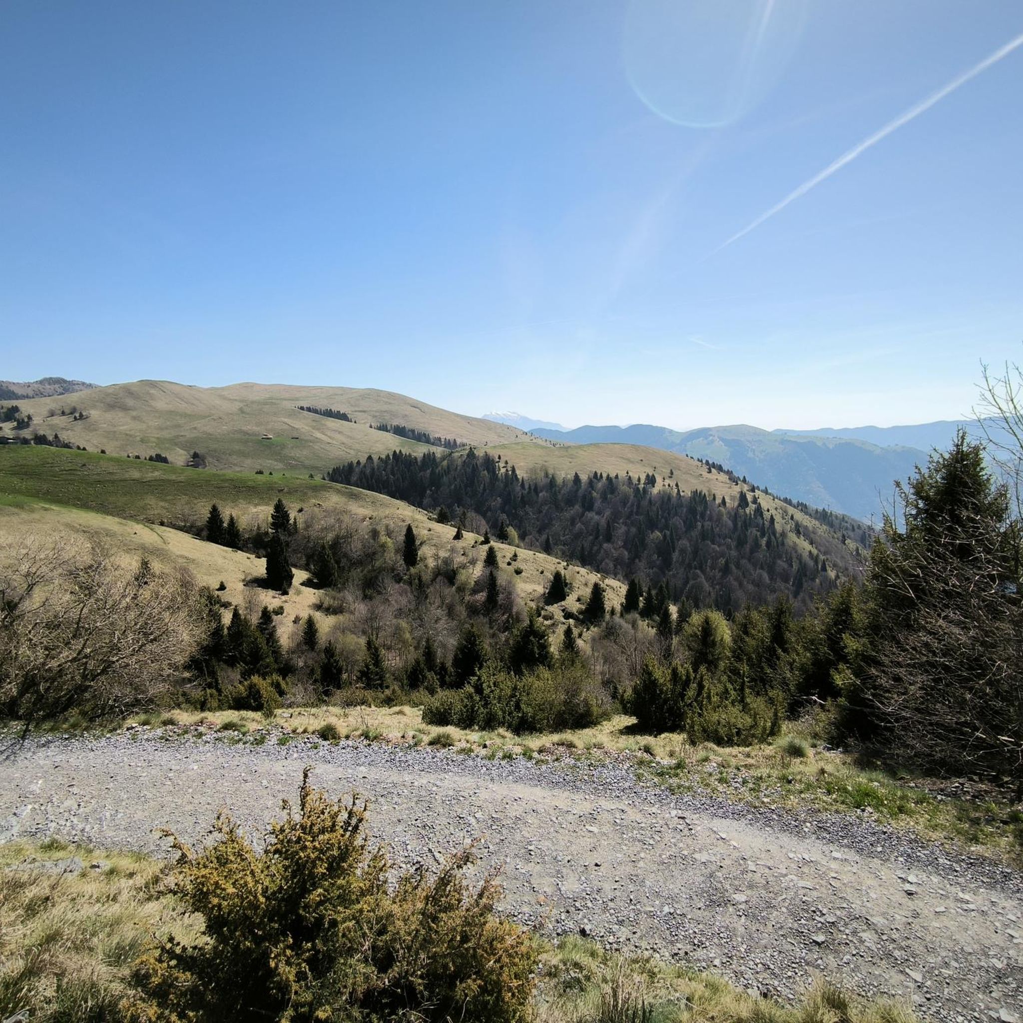
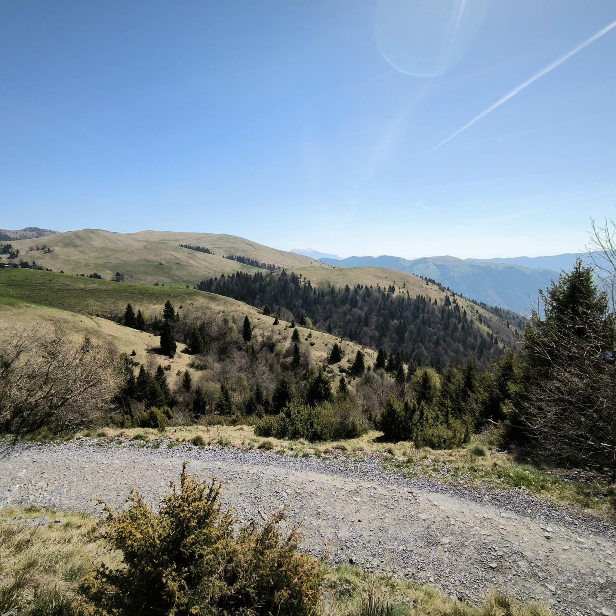
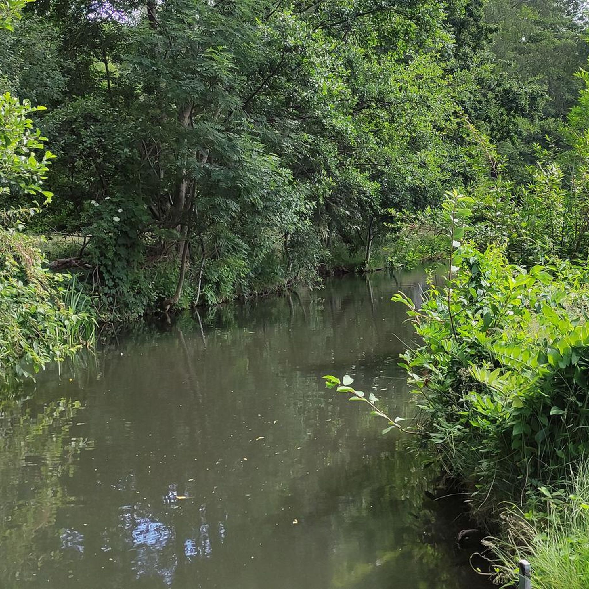
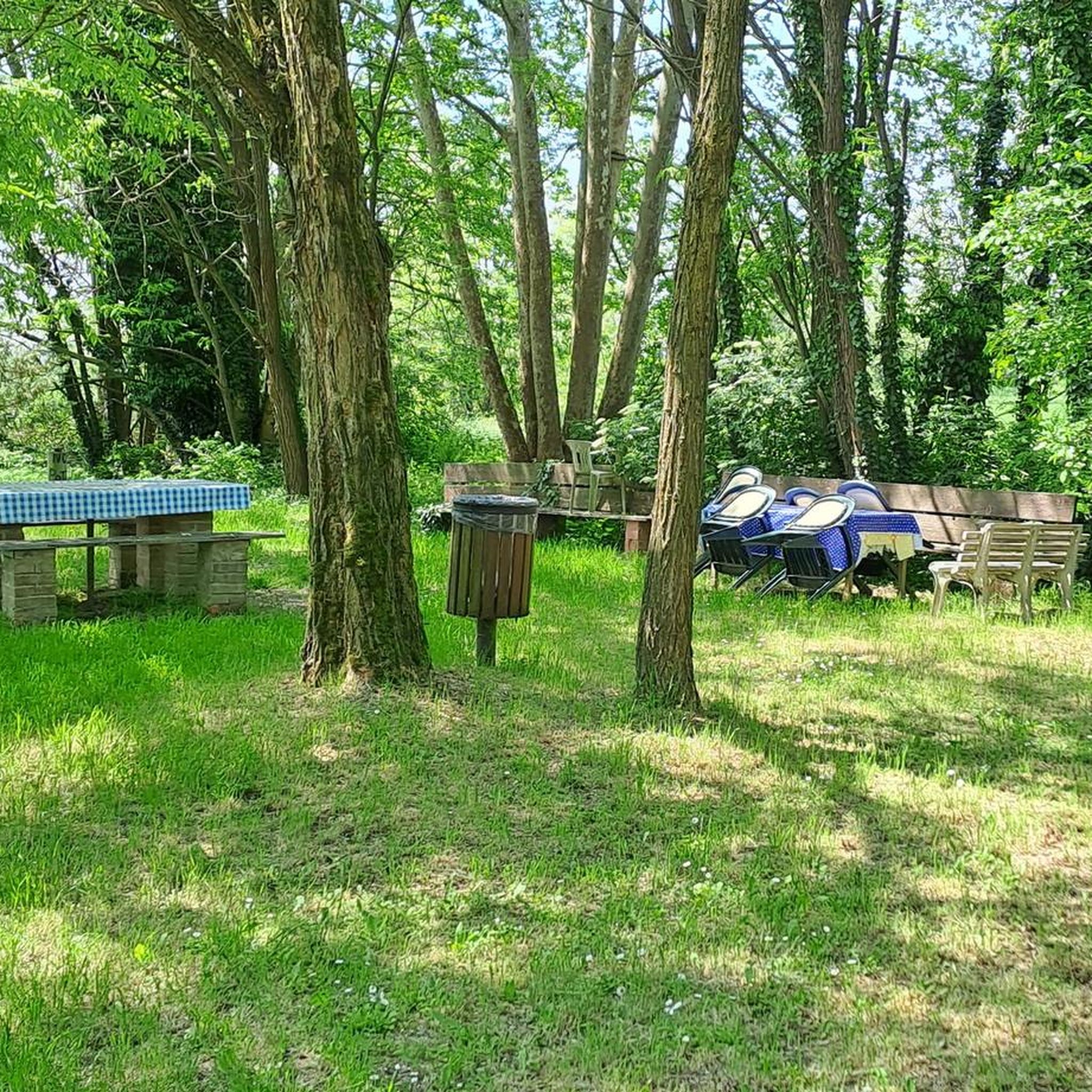

Tips from the Community


The Naviglio Civico di Cremona or Navigli Cremonesi cycle path follows the artificial canal of the same name for 27 kilometers, crossing the province of Cremona. Points of particular interest along the route include the "Sentiero dell'olmo," a two-kilometer unpaved nature trail, and the "Tombe Morte" area, a crucial waterway intersection where the Naviglio Civico di Cremona meets the Canale Vacchelli and the Naviglio Grande Pallavicino, and from which 11 irrigation ditches begin. The route is flat and presents no difficulties. An integral part of the "Music in the Wind" cycle-musical itinerary, it crosses the plain between the Adda and Oglio rivers in the provinces of Bergamo and Cremona, and is composed of three routes: the Cremonese Canals itinerary, the Adda and Serio itineraries. The routes mainly follow protected cycle paths or trails, as they are almost always within the protected natural areas of the Serio Park or the Adda Sud Park.
2
0

the Vincellate farmhouse in the Strone river park
0
0

The Strone Park, along the suggestive 18 kilometers of the Strone river, was recognized as a local park of supra-municipal interest by the Lombardy region in 1990. Ideal for those who love cycling, it offers a well-trodden dirt surface, with the cycle path that winds near the river, offering a compelling experience in uncontaminated nature.
3
0

The Strone Park was born along the 18 km crossed by the Strone river: in 1990 the Lombardy region recognized this area as a local park of supra-municipal interest for its landscape and naturalistic qualities. Perfect for a cool ride in the summer totally in the middle of nature
3
0

Excellent point of passage to go to the opposite side of the canal and continue your training.
1
0
very quiet and relaxing place where you can train in peace.
1
0
Frequently Asked Questions
How many hiking trails are available around Corte De' Frati?
There are over 15 hiking routes around Corte De' Frati. The region offers a mix of easy, moderate, and a few more challenging trails, catering to various skill levels.
Are there any easy or beginner-friendly hikes in Corte De' Frati?
Yes, Corte De' Frati is well-suited for beginners and those looking for easier walks, with 7 routes classified as easy. An excellent option is the Bosco del Lusignolo loop from San Gervasio Bresciano, which is 4.7 miles (7.5 km) long and takes about 1 hour 53 minutes through wooded sections.
What kind of terrain can I expect on hikes around Corte De' Frati?
The terrain around Corte De' Frati is predominantly flat, characterized by agricultural fields and scattered wooded areas. Trails often follow local roads or tracks, connecting small towns and villages with minimal elevation changes.
Are there any loop hikes available in the area?
Yes, several loop hikes are available. A popular choice is the Hiking loop from Bettegno, a moderate 6.9 miles (11.1 km) path that explores the countryside. Another option is the Hiking loop from San Gervasio Bresciano, which is 8.3 km long.
What are the typical durations for hikes in Corte De' Frati?
Hike durations vary, but many trails can be completed within a few hours. For instance, the Pieve di Comella loop from Pralboino is 8.3 km and typically takes around 2 hours 7 minutes. Longer point-to-point routes, like the Way of St. Julia Trail: Pontevico to Verolanuova, can take up to 4 hours.
What can I see along the hiking trails around Corte De' Frati?
While hiking, you can explore the agricultural landscape and small villages. Nearby attractions include historical religious buildings such as the Church of Saints Joseph and Blaise, Robecco d'Oglio and the Chiesa di Comella. You might also encounter various castles like Gazzo Castle - Scandalora Ripa d'Oglio (CR) or Ostiano Castle.
What do other hikers enjoy most about hiking in Corte De' Frati?
The area is highly rated by the komoot community, with an average score of 4.2 stars from around 45 reviews. Hikers often praise the peaceful, flat agricultural plains and the opportunity to connect between local villages.
Is Corte De' Frati suitable for family-friendly walks?
Yes, the predominantly flat landscape and numerous easy trails make Corte De' Frati suitable for family-friendly walks. Many routes are relatively short and have minimal elevation, perfect for all ages.
What is the best season for hiking in Corte De' Frati?
Spring and autumn are generally ideal for hiking in Corte De' Frati, offering pleasant temperatures and scenic views of the agricultural landscape. Summer can be warm, while winter might present colder conditions, though the flat terrain makes it accessible year-round.
Are there any less crowded hiking options in Corte De' Frati?
Given the region's focus on local connections and agricultural paths, many trails offer a sense of tranquility away from major tourist crowds. Exploring the numerous local loops and tracks, especially during weekdays, can provide a peaceful hiking experience.
Are there any specific points of interest or landmarks to look out for?
Beyond the trails, you can find notable landmarks such as the Torrazzo of Cremona and the Cathedral of Saint Mary of the Assumption, both significant historical sites in the broader region.
Most popular routes around Corte De' Frati
Most popular attractions around Corte De' Frati

Get inspired with the komoot mobile app


Explore more
Browse the best Hikes in other regions.
