The best walks and hikes around Isola Dovarese
4.1
(25)
88
hikers
24
hikes
Hiking around Isola Dovarese is characterized by its location within the Oglio Sud Park, a protected area along the Oglio River. The region features a fluvial landscape with riverbanks, riparian forests, and cultivated fields. Terracing formed by centuries of water activity adds varied topography to the area. These natural elements provide a diverse setting for outdoor activities.
Best hiking trails around Isola Dovarese
- The most popular hiking route is Along the banks of the Oglio River in Piadena, a…
Last updated: July 1, 2026
4.5
(6)
9
hikers
19.7km
04:59
50m
50m
Hike along the Oglio River in Piadena, a moderate 12.2-mile route through riverine landscapes, cultivated fields, and nature reserves.
3.5
(2)
5
hikers
7.57km
01:55
20m
20m
Easy hike. Great for any fitness level. Easily-accessible paths. Suitable for all skill levels.

Sign up for free
4.0
(3)
7
hikers
19.1km
04:50
40m
40m
Moderate hike. Good fitness required. Easily-accessible paths. Suitable for all skill levels.
4.0
(3)
7
hikers
16.9km
04:17
40m
40m
Moderate hike. Good fitness required. Easily-accessible paths. Suitable for all skill levels.
5.0
(1)
5
hikers
Moderate hike. Good fitness required. Easily-accessible paths. Suitable for all skill levels.
Get access to more routes and recommendations from other explorers.
Sign up for free
Already have an account?
Our route recommendations are based on thousands of hikes, rides, and runs completed by other people on komoot.
Start today with a free account
Your next adventure awaits.
Login or Signup


Tips from the Community

nice place to relax for a moment
0
0

Cycle/pedestrian stretch on a dirt road, which runs along the Oglio river. The route is surrounded by nature and suitable for everyone, completely flat. It is nicknamed "white road" due to the color of the gravel on the bottom.
2
0

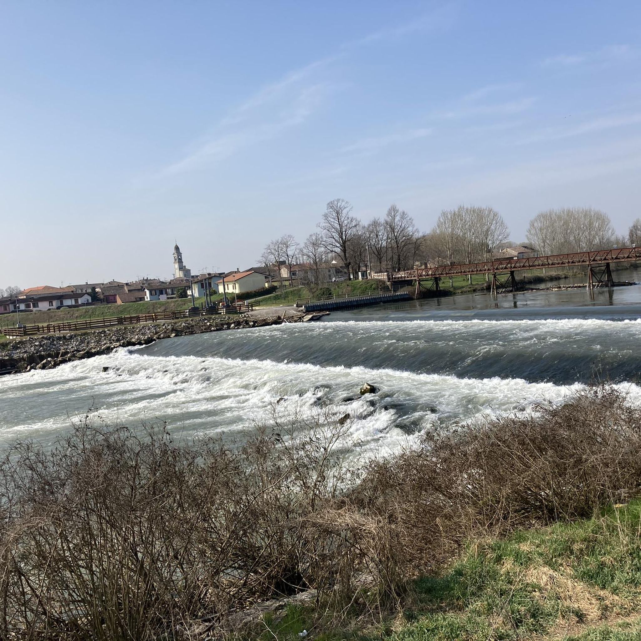
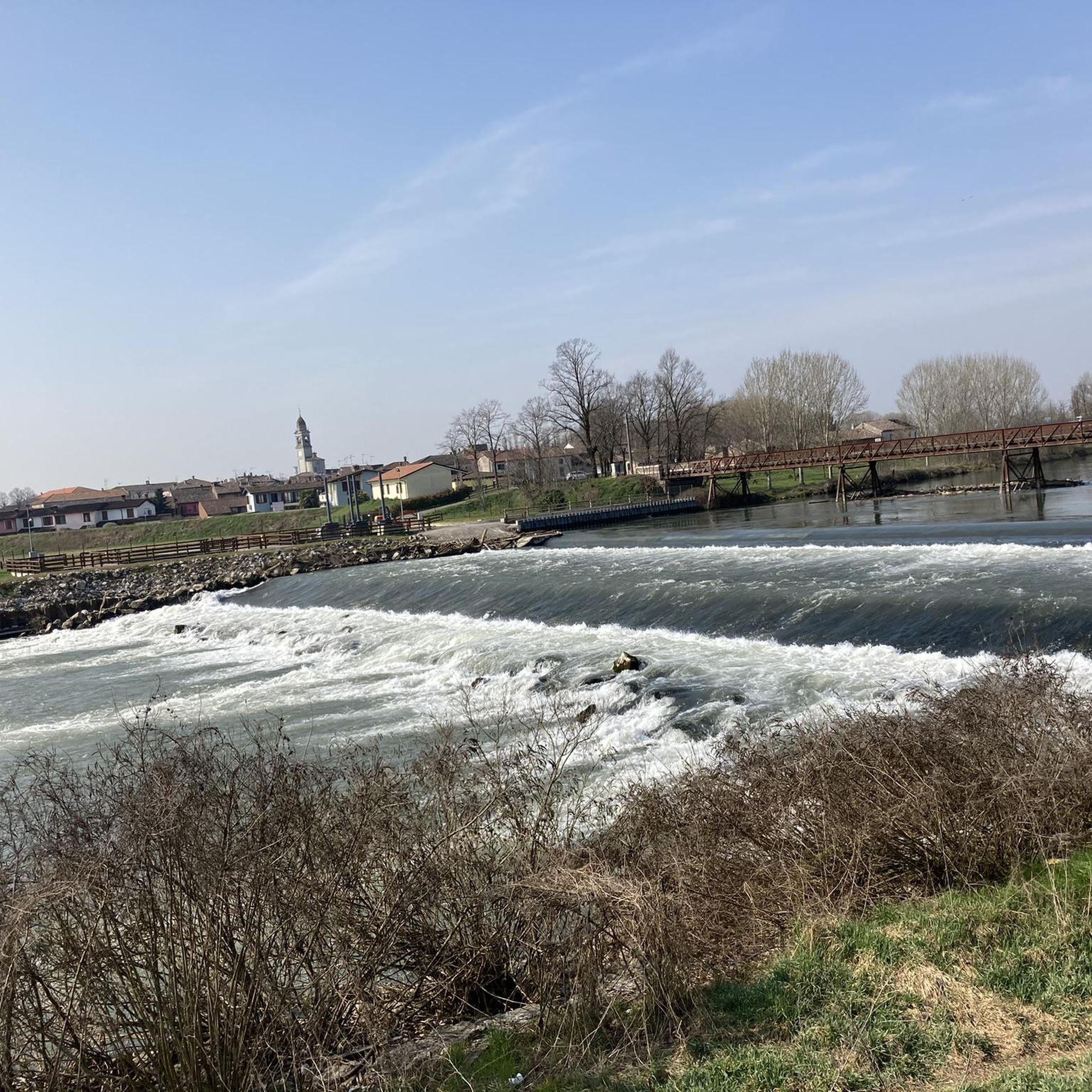
Splendid glimpse of the Oglio river
1
0
Le bine is an area protected as a natural reserve by WWF Italy.
2
0
Old mill overlooking the Oglio river.
1
0

Excellent ice cream shop in the heart of Piadena
0
0

Benches, Ombra, and the Oglio river A good point for a break
4
0

Nature reserve - Educational farm - Agriturismo
0
0
Frequently Asked Questions
How many hiking trails are available around Isola Dovarese?
There are over 20 hiking trails around Isola Dovarese, offering a variety of experiences within the Oglio Sud Park. These routes range from easy strolls along the riverbanks to more challenging excursions through the diverse fluvial landscape.
What kind of terrain can I expect on hikes in Isola Dovarese?
Hiking in Isola Dovarese primarily features a fluvial landscape along the Oglio River. You'll encounter riverbanks, riparian forests, and cultivated fields. The natural activity of the water has also created terracing, adding varied topography to the area. Trails are generally flat to gently undulating, suitable for leisurely walks and cycling.
Are there any easy hiking trails suitable for beginners or families?
Yes, Isola Dovarese offers 10 easy hiking trails perfect for beginners or families. An excellent option is the Abandoned Mill – Old Mill on the Oglio River loop from Vho, an easy 7.1 km path that explores the area around an abandoned mill and the Oglio River.
What are some notable natural features or landmarks to see while hiking?
While hiking, you can explore the rich biodiversity of the Oglio Sud Park, particularly its wetlands. The Oglio River itself is a prominent feature, offering scenic views, especially from spots like the Ponte dei Martiri (Ponte Vecchio). You might also encounter historical sites integrated into the natural landscape. For specific points of interest, consider visiting Piazza Matteotti in Isola Dovarese or the Cycle bridge over the Mella River.
Are there any circular hiking routes in the area?
Yes, many routes around Isola Dovarese are circular, allowing you to start and end in the same location. An example is the Chapel – Historic Church loop from Isola Dovarese, a moderate 18.3 km trail that offers a varied experience.
What is the best time of year to go hiking in Isola Dovarese?
The best time for hiking in Isola Dovarese is generally during spring and autumn when the weather is mild and the natural scenery is vibrant. Spring brings blooming flora, while autumn offers beautiful foliage along the riverbanks. Summer can be warm, but early mornings or late afternoons are still pleasant for walks.
Can I bring my dog on the hiking trails in Isola Dovarese?
Most trails in the Oglio Sud Park area are generally dog-friendly, but it's always advisable to keep your dog on a leash, especially in protected areas or near cultivated fields, to protect wildlife and respect local regulations. Ensure you carry water for your pet, particularly on longer routes.
Are there any historical sites or cultural attractions near the hiking trails?
Yes, the region seamlessly blends natural beauty with historical elements. While hiking, you can encounter historical sites amidst the green landscapes. Notable nearby attractions include Villa Sommi Picenardi, Villarocca Historic Farmhouse, and Ostiano Castle, offering a rich cultural and natural experience.
How do other hikers rate the trails in Isola Dovarese?
The hiking routes in Isola Dovarese are highly rated by the komoot community, with an average score of 3.88 stars from over 20 reviews. Hikers often praise the peaceful river scenery, the integration of nature and history, and the accessibility of the trails for various fitness levels.
Is public transport available to reach hiking trailheads in Isola Dovarese?
While Isola Dovarese is accessible, public transport options to specific trailheads within the Oglio Sud Park might be limited. It's recommended to check local bus schedules or consider driving to reach the starting points of the trails. For general information about the area, you can visit visitcremona.org.
Are there any longer, more challenging hikes for experienced hikers?
For experienced hikers seeking a challenge, there are a few more demanding routes. The Historic Church – Chapel loop from Canneto sull'Oglio is a difficult 19.9 km trail that takes around 5 hours to complete, offering a longer exploration of the Oglio River area and historical sites.
What are the typical distances and durations for hikes in this region?
Hikes in Isola Dovarese vary significantly. Easy walks can be as short as 7 km, taking under 2 hours, while moderate and difficult routes can extend up to 20 km, requiring 5 hours or more to complete. For example, the moderate Along the banks of the Oglio River in Piadena is 19.7 km and takes nearly 5 hours.
Most popular routes around Isola Dovarese
Most popular attractions around Isola Dovarese

Get inspired with the komoot mobile app


Explore more
Browse the best Hikes in other regions.
