The best walks and hikes around Seniga
3.8
(31)
200
hikers
32
hikes
Hiking around Seniga offers routes primarily characterized by flat terrain and low elevation changes, making them accessible for various fitness levels. The region features paths that often follow river courses and traverse agricultural landscapes, providing a tranquil outdoor experience. These trails are well-suited for those seeking easy hikes near Seniga, with many options for family friendly hikes Seniga. The area's gentle topography means that challenging hikes around Seniga are less common, focusing instead on relaxed exploration.
Best hiking trails around…
Last updated: August 25, 2026
3.0
(1)
4
hikers
12.0km
03:03
30m
30m
Moderate hike. Good fitness required. Easily-accessible paths. Suitable for all skill levels.
3.4
(5)
7
hikers
15.8km
04:01
50m
50m
Hike the moderate 9.8-mile Il Cammino di Santa Giulia from Pontevico to Verolanuova, exploring the Oglio River and Castello Merlino.

Sign up for free
5.0
(2)
34
hikers
8.57km
02:11
20m
20m
Moderate hike. Good fitness required. Easily-accessible paths. Suitable for all skill levels.
1.0
(1)
12
hikers
6.26km
01:35
10m
10m
Easy hike. Great for any fitness level. Easily-accessible paths. Suitable for all skill levels.
4
hikers
Easy hike. Great for any fitness level. Easily-accessible paths. Suitable for all skill levels.
Get access to more routes and recommendations from other explorers.
Sign up for free
Already have an account?
Our route recommendations are based on thousands of hikes, rides, and runs completed by other people on komoot.
Start today with a free account
Your next adventure awaits.
Login or Signup

Tips from the Community


the Vincellate farmhouse in the Strone river park
0
0

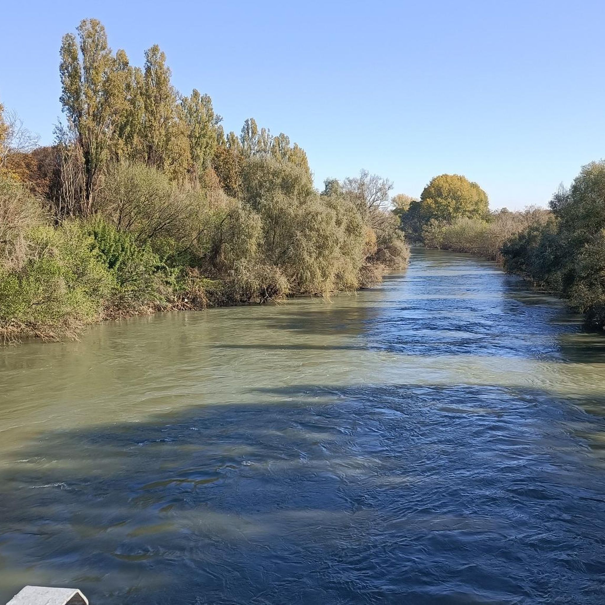
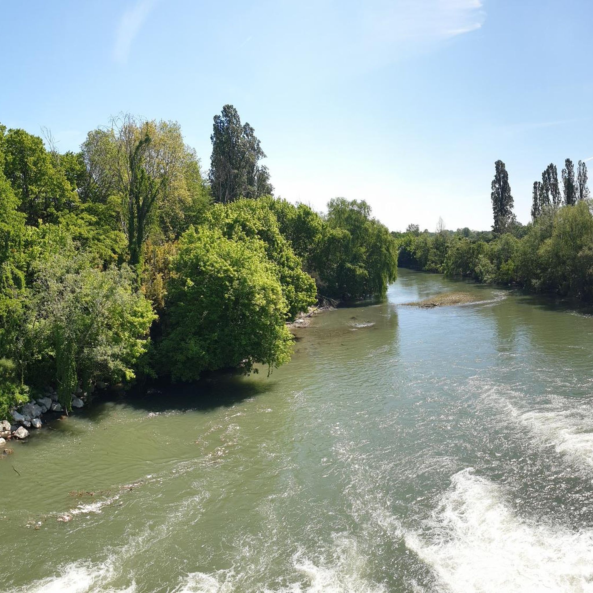
The Strone Park, along the suggestive 18 kilometers of the Strone river, was recognized as a local park of supra-municipal interest by the Lombardy region in 1990. Ideal for those who love cycling, it offers a well-trodden dirt surface, with the cycle path that winds near the river, offering a compelling experience in uncontaminated nature.
3
0

The Strone Park was born along the 18 km crossed by the Strone river: in 1990 the Lombardy region recognized this area as a local park of supra-municipal interest for its landscape and naturalistic qualities. Perfect for a cool ride in the summer totally in the middle of nature
3
0

Church of the parish of Saints Peter and Paul of Gambara.
1
0
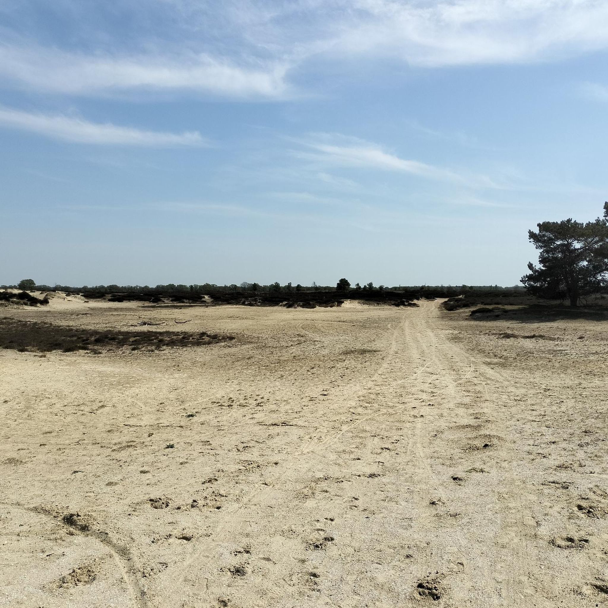
Pleasant dirt path surrounded by trees.
0
0
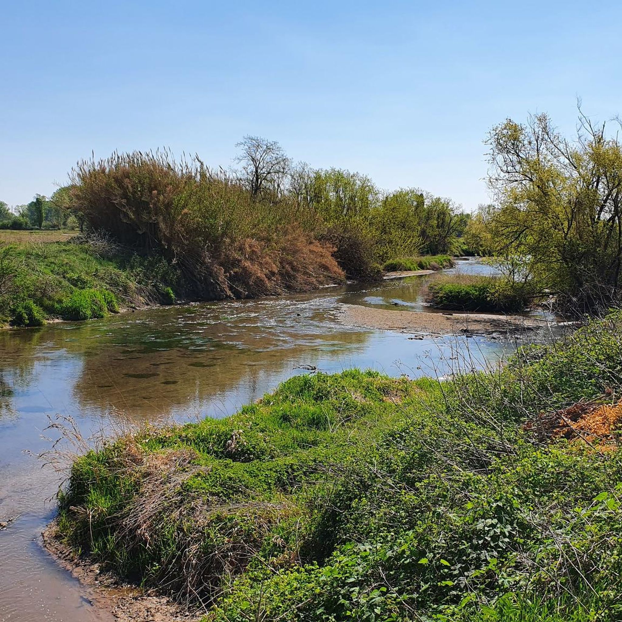
Splendid path that accompanies the Gambara stream.
1
0
Frequently Asked Questions
How many hiking trails are available around Seniga?
Seniga offers a network of over 20 hiking trails, catering to various preferences. The majority are easy to moderate, reflecting the region's generally flat terrain.
Are there easy hiking options suitable for beginners or casual walkers?
Yes, Seniga is well-suited for easy hikes, with 8 of the available routes classified as easy. These trails often follow river courses and traverse agricultural landscapes, providing a tranquil experience with minimal elevation gain. An example is the Bosco del Lusignolo loop from San Gervasio Bresciano.
Are there family-friendly hiking trails in Seniga?
Absolutely. The region's gentle topography and flat paths make many trails ideal for families. Routes that follow river courses or explore open agricultural fields are particularly suitable for walks with children, offering accessible and enjoyable outdoor experiences.
Can I hike with my dog in Seniga?
While specific regulations for dogs on trails can vary, the open agricultural landscapes and riverside paths around Seniga are generally welcoming for walks with leashed dogs. Always ensure your dog is under control and respect local signage, especially near farmlands or protected areas.
Are there any circular hiking routes around Seniga?
Yes, circular routes are available for those who prefer to start and end in the same location. A popular option is the Hiking loop from San Gervasio Bresciano, which is 5.1 miles (8.3 km) long and takes about 2 hours 5 minutes to complete through open countryside.
What is the typical duration of hikes in Seniga?
Hikes in Seniga vary in length, but many can be completed within a few hours. For instance, the Walking along the river of Gambara takes approximately 3 hours, while the Pieve di Comella loop from Pralboino is around 2 hours 7 minutes.
Are there any challenging hikes for experienced hikers?
The hiking around Seniga is primarily characterized by flat terrain and low elevation changes, meaning truly challenging hikes are less common. The focus is more on relaxed exploration. However, there is at least one route classified as difficult for those seeking a longer, more demanding experience, though elevation gain remains modest.
What can I see along the hiking trails around Seniga?
The trails often feature expansive views of agricultural fields and follow river courses. You can also discover historical and natural points of interest. For example, the Bosco del Lusignolo forest is a notable natural highlight, and you might encounter religious buildings like the Chiesa di Comella or historical sites such as Piazza Matteotti in Isola Dovarese.
Are there any castles or historical landmarks to explore near the hiking routes?
Yes, the region boasts several historical landmarks. You can find castles such as Gazzo Castle - Scandalora Ripa d'Oglio or Ostiano Castle, which offer glimpses into the area's past. The Way of St. Julia Trail itself follows a historical route.
What do other hikers enjoy most about hiking in Seniga?
The area is highly rated by the komoot community, with an average score of 4.1 stars from around 20 reviews. Hikers often praise the tranquil riverside walking, the expansive views of the flatlands, and the accessibility of the trails for various fitness levels. The well-maintained paths through agricultural fields are also frequently highlighted.
When is the best time of year to hike in Seniga?
Given the region's flat terrain and agricultural landscapes, spring and autumn are generally ideal for hiking in Seniga. The weather is typically mild, and the scenery is vibrant with blooming fields or autumnal colors. Summer can be pleasant, but it's advisable to hike in the mornings or late afternoons to avoid the midday heat.
Is parking available near the trailheads in Seniga?
While specific parking information for every trailhead isn't always detailed, many rural hiking areas in Italy, including those around Seniga, typically offer roadside parking or small designated areas near villages or points of interest. It's recommended to check local maps or komoot tour details for specific parking suggestions for your chosen route.
Most popular attractions around Seniga

Get inspired with the komoot mobile app


Explore more
Browse the best Hikes in other regions.
