The best MTB trails around Tamm
4.7
(83)
246
riders
18
rides
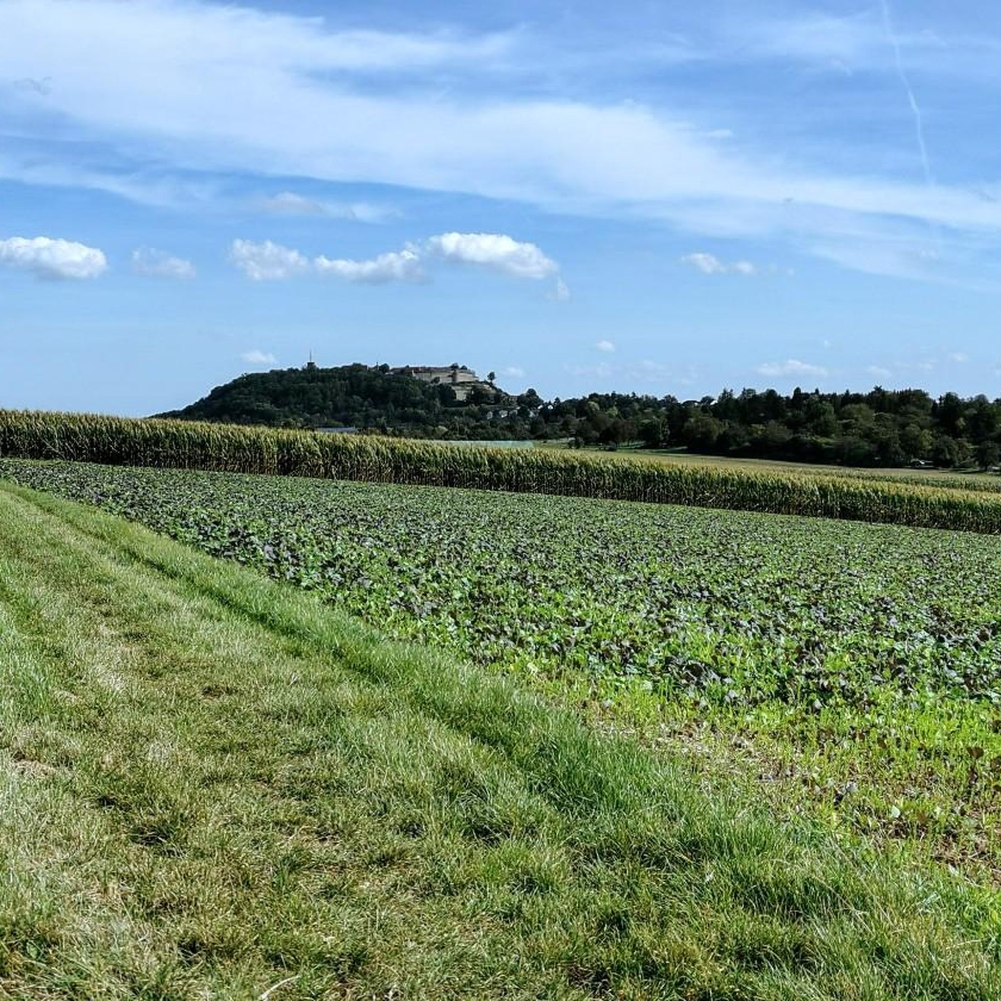
Mountain biking around Tamm offers routes through varied landscapes, characterized by river valleys, rolling hills, and forested areas. The region features trails that follow the Enz and Neckar rivers, providing scenic riverside paths. Riders can explore a mix of terrain, from forest trails to open sections along waterways. This area provides a diverse setting for mountain biking, with routes suitable for different skill levels.
Best mountain bike trails around Tamm
- The most popular mountain bike trail is Enz Riverside Forest…
Last updated: October 15, 2026
4.8
(33)
83
riders
Moderate mountain bike ride. Good fitness required. Suitable for all skill levels.
5.0
(18)
35
riders
42.6km
02:27
340m
340m
Moderate mountain bike ride. Good fitness required. Suitable for all skill levels.

4.8
(12)
35
riders
Moderate mountain bike ride. Good fitness required. Advanced riding skills necessary.
4.4
(5)
27
riders
Moderate mountain bike ride. Good fitness required. Suitable for all skill levels.
5.0
(2)
18
riders
Moderate mountain bike ride. Good fitness required. Advanced riding skills necessary.
Get access to more routes and recommendations from other explorers.
Already have an account?
Our route recommendations are based on thousands of hikes, rides, and runs completed by other people on komoot.
Start today with a free account
Your next adventure awaits.
Tips from the Community

The former, historic run-of-river power plant in Marbach am Neckar (often also referred to as the "Old Power Plant") is an important monument of German industrial history. Built around 1899 by the city of Stuttgart, the power plant originally served to supply the state capital with three-phase power. It was shut down in 1938 during the canalization of the Neckar, as it was deprived of water due to the relocation of the riverbed.
5
0

Always beautiful, especially with the pumpkin exhibition
0
0

For "387 m of elevation gain from sea level" you certainly need "extra oxygen"☝️
1
0

Great view 👀 of the vineyards 🍇 also from SUP 🏄🏼♀️
0
0
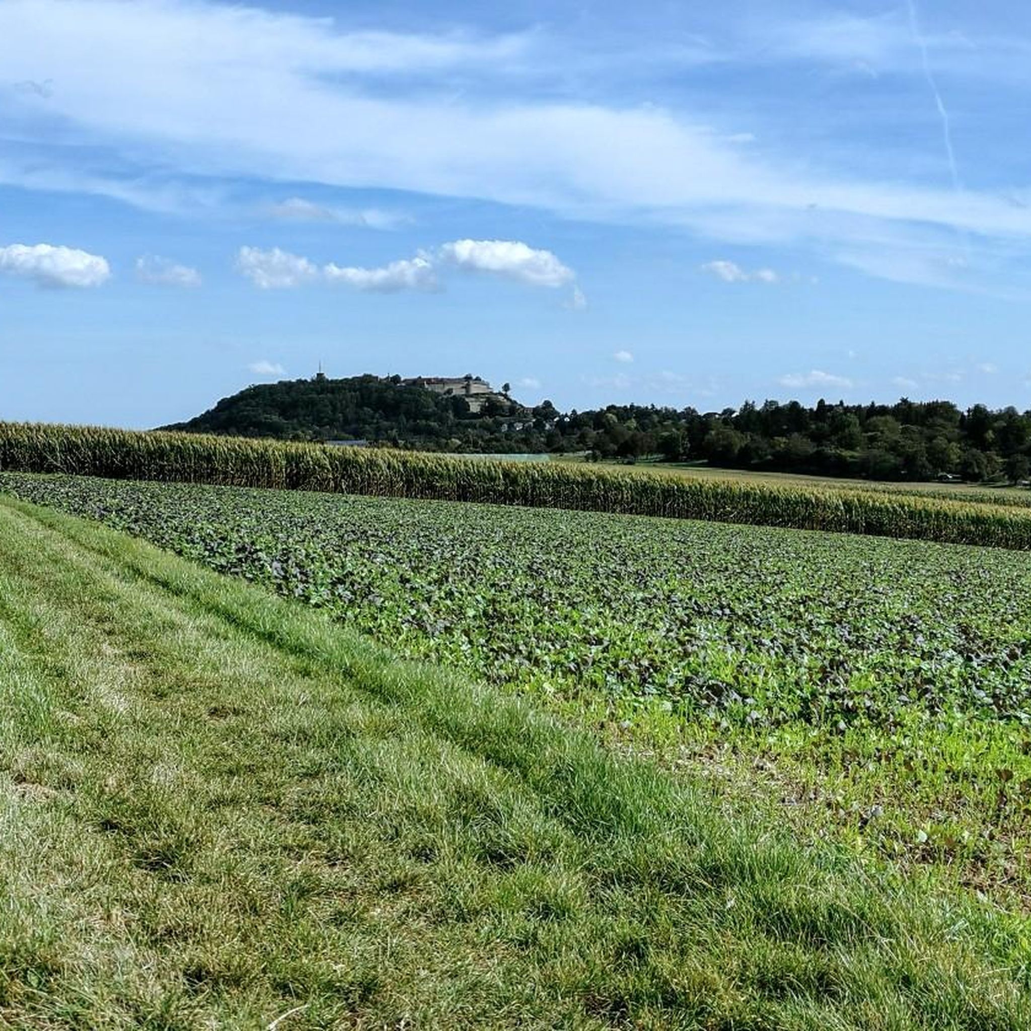
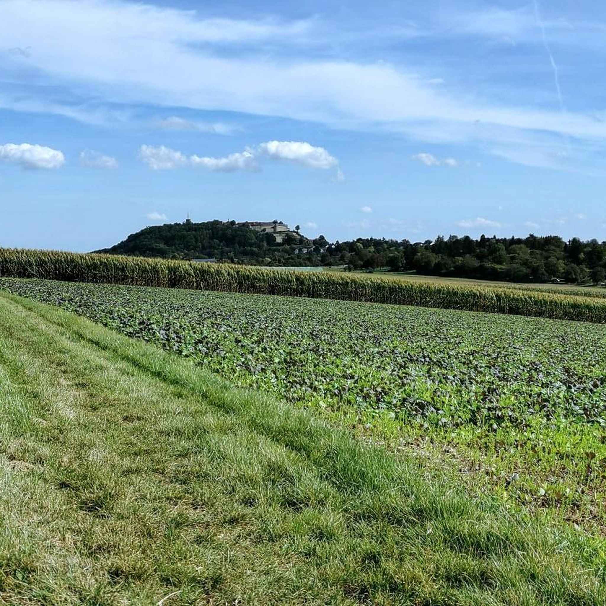
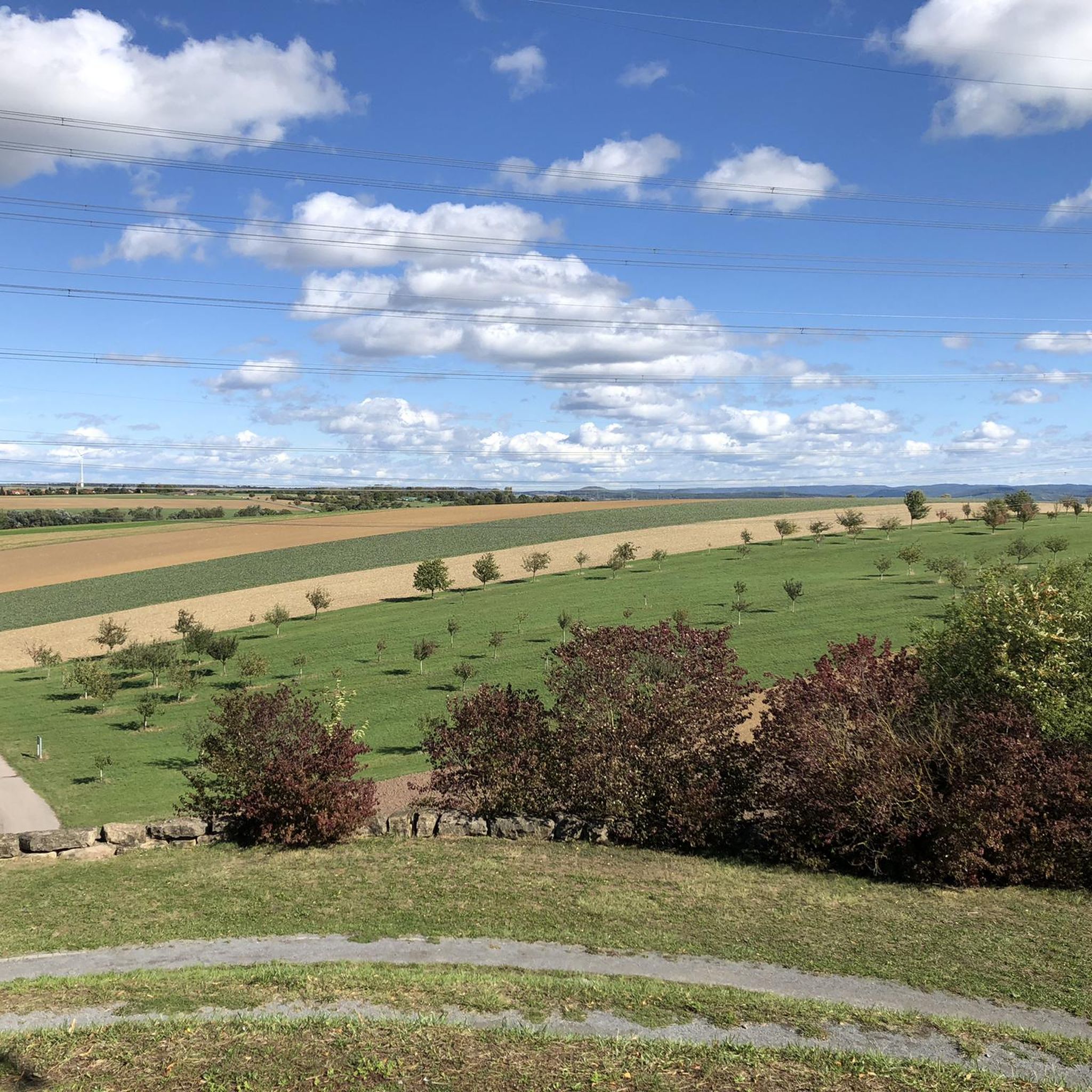
From the Schlossbergturm, you have a panoramic view over large parts of Northern Baden and Northern Wuerttemberg. Depending on the weather and visibility, you can recognize, among other things: To the west: the Rhine plain and, in very clear conditions, the Vosges mountains in France. To the southwest: the Northern Black Forest. To the south: the Stromberg, whose highest elevation is the Baiselsberg. To the east: the hilly landscape of the Kraichgau and towards the Heckengäu. To the north: the Odenwald forest, but only with exceptionally good long-distance visibility. On particularly clear days, the visibility extends up to 70–100 km. Therefore, the tower is a popular viewpoint for photographers and hikers. Tip: The best long-distance visibility is often in the morning after a cold front or on dry autumn and winter days when the air is particularly clear.
1
0

Stop or continue? Tempting in good weather.
2
0

Vineyards, always vineyards. ❤️. Always great views!
0
0
The path is really good👍 Except of course in "bad weather plus forest"😅!
1
0
Frequently Asked Questions
How many mountain bike trails are available around Tamm?
There are 16 mountain bike trails around Tamm listed in this guide, offering a diverse range of experiences. These include 5 easy routes and 11 moderate routes, ensuring options for various skill levels.
Are there mountain bike trails suitable for beginners or families in Tamm?
Yes, Tamm offers 5 easy mountain bike routes, perfect for beginners or families looking for a less challenging ride. These trails often follow river valleys and forested sections, providing a pleasant and accessible experience.
What kind of challenge do the mountain bike trails around Tamm offer for more experienced riders?
For more experienced riders, Tamm features 11 moderate mountain bike routes. These trails often include varied terrain with rolling hills and longer distances, providing a good workout and engaging ride without being overly technical. While there are no 'difficult' rated trails, the moderate routes offer a satisfying challenge.
What is the best time of year for mountain biking in Tamm?
Spring and fall are generally considered ideal for mountain biking in the region due to mild temperatures and pleasant conditions. While summer can be warm, and winter trails might be muddy, the river-adjacent routes often remain enjoyable outside of extreme weather.
Are there any circular mountain bike routes around Tamm?
Yes, many of the mountain bike routes around Tamm are designed as circular loops. For example, the Enz Riverside Forest Trail – Leudelsbach Valley Trail loop from Tamm (Württemberg) and the Neckar Cycle Path – Neckar Beach, Remseck loop from Tamm (Württemberg) are popular circular options, allowing you to start and finish at the same point.
What can I see along the mountain bike trails around Tamm?
The trails around Tamm offer scenic views, particularly along the Enz and Neckar rivers. You can also discover natural attractions such as the Leudelsbach Valley and the Baumbach Valley. Some routes provide glimpses of the Hessigheim Rock Gardens and panoramic viewpoints like the View of the Neckar from the Hessigheimer Felsengärten.
Are there places to stop for refreshments or a break along the routes?
Yes, you can find places to stop for refreshments. For instance, the Flohberghaus Restaurant & Beer Garden and Kutterer's Blockhausbesen are nearby options. Additionally, you might encounter shelters like the Shelter at the crossroads near Bissingen for a quick break.
What do other mountain bikers enjoy most about the trails in Tamm?
The mountain bike trails around Tamm are highly rated by the komoot community, with an average score of 4.8 stars from over 60 reviews. Riders often praise the diverse terrain, the scenic river valleys, and the well-maintained paths that cater to both leisurely rides and more challenging excursions.
Are there any routes that pass by lakes or other water features?
Yes, several routes incorporate water features. The Max Eyth Footbridge – Max Eyth Lake loop from Tamm (Württemberg) specifically passes by Max Eyth Lake. Additionally, the Monrepossee Tree-Lined Avenue – Monrepos Palace loop from Tamm (Württemberg) takes you past Monrepossee, offering pleasant lakeside riding.
Which trails offer the best views of the surrounding landscape?
For scenic views, routes that follow the Neckar River, such as the Neckar Cycle Path – Neckar Beach, Remseck loop from Tamm (Württemberg), provide open vistas. Trails passing through the Leudelsbach Valley also offer picturesque natural settings. Look for routes that mention river valleys or higher elevations for the most expansive views.
Most popular routes around Tamm
Most popular attractions around Tamm

Get inspired with the komoot mobile app


Explore more
Browse the best MTB trails in other regions.
