The best walks and hikes around Bezirk Freistadt
4.6
(10060)
60,806
hikers
1,671
hikes
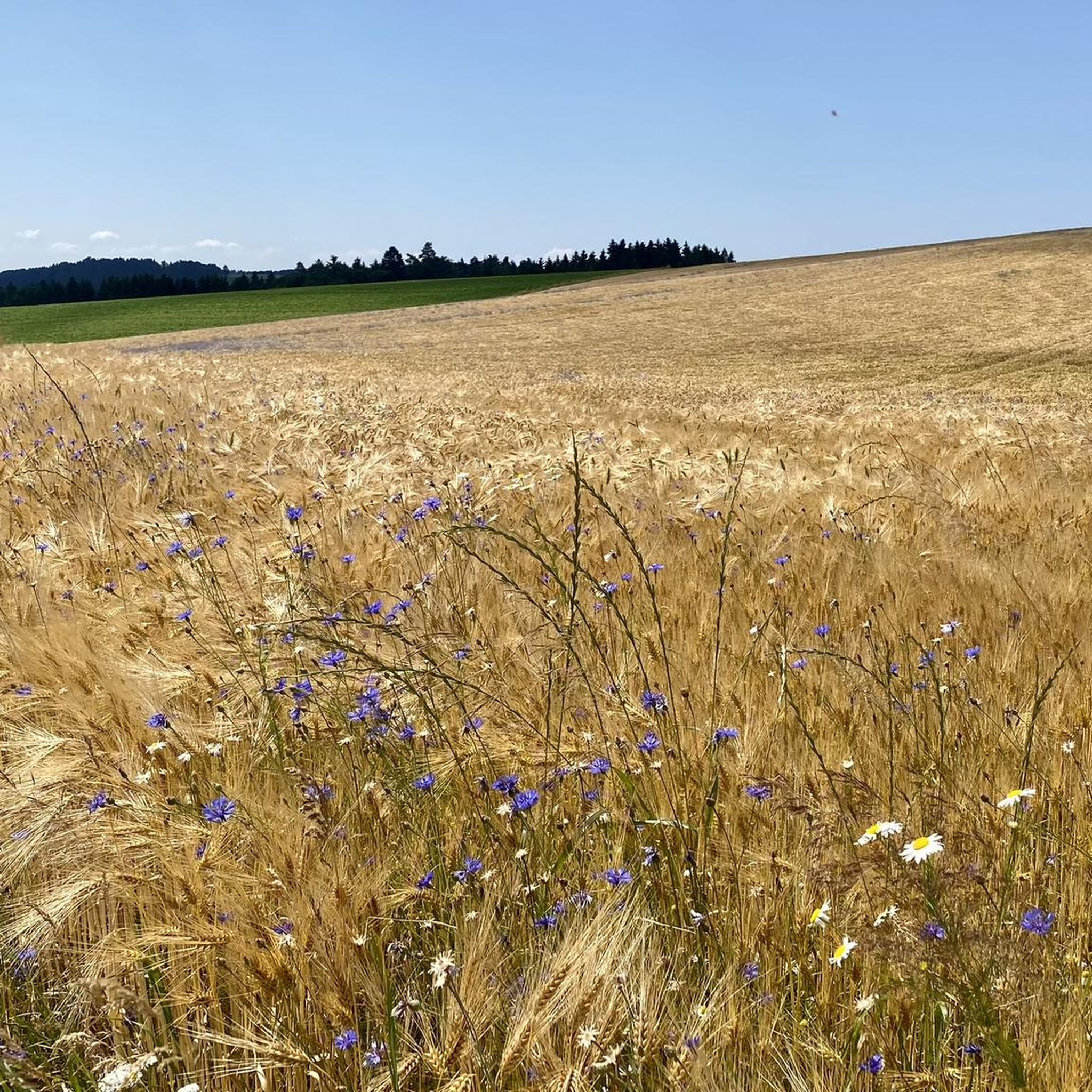
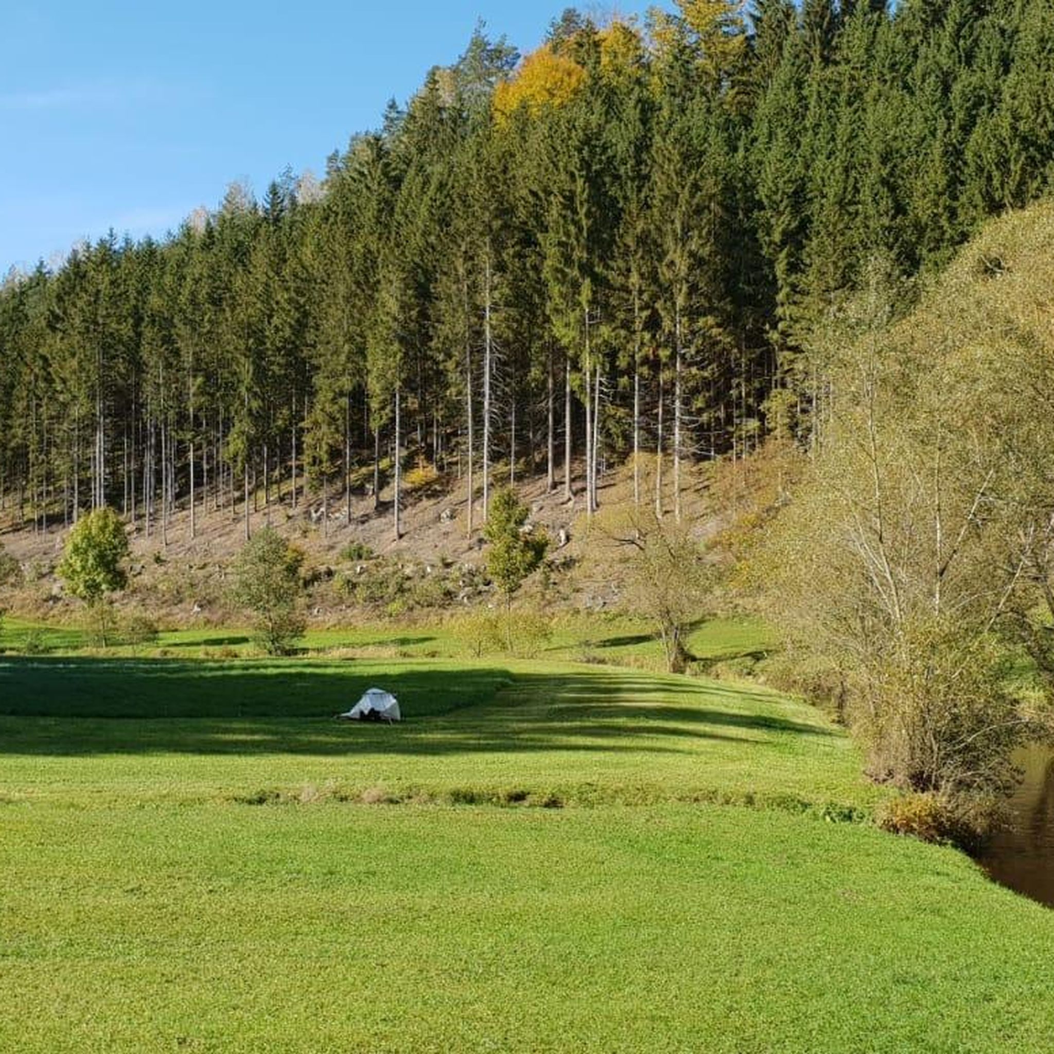
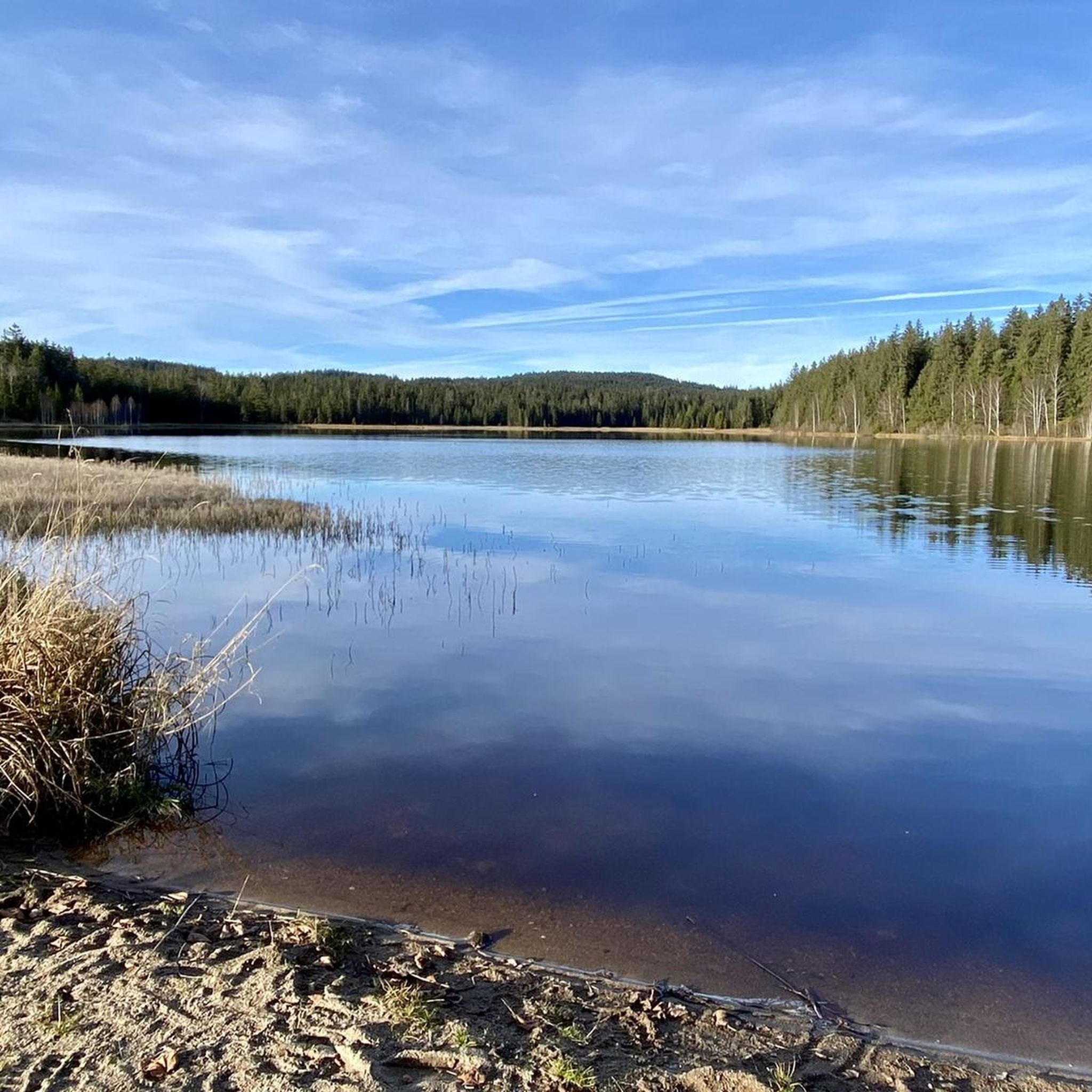
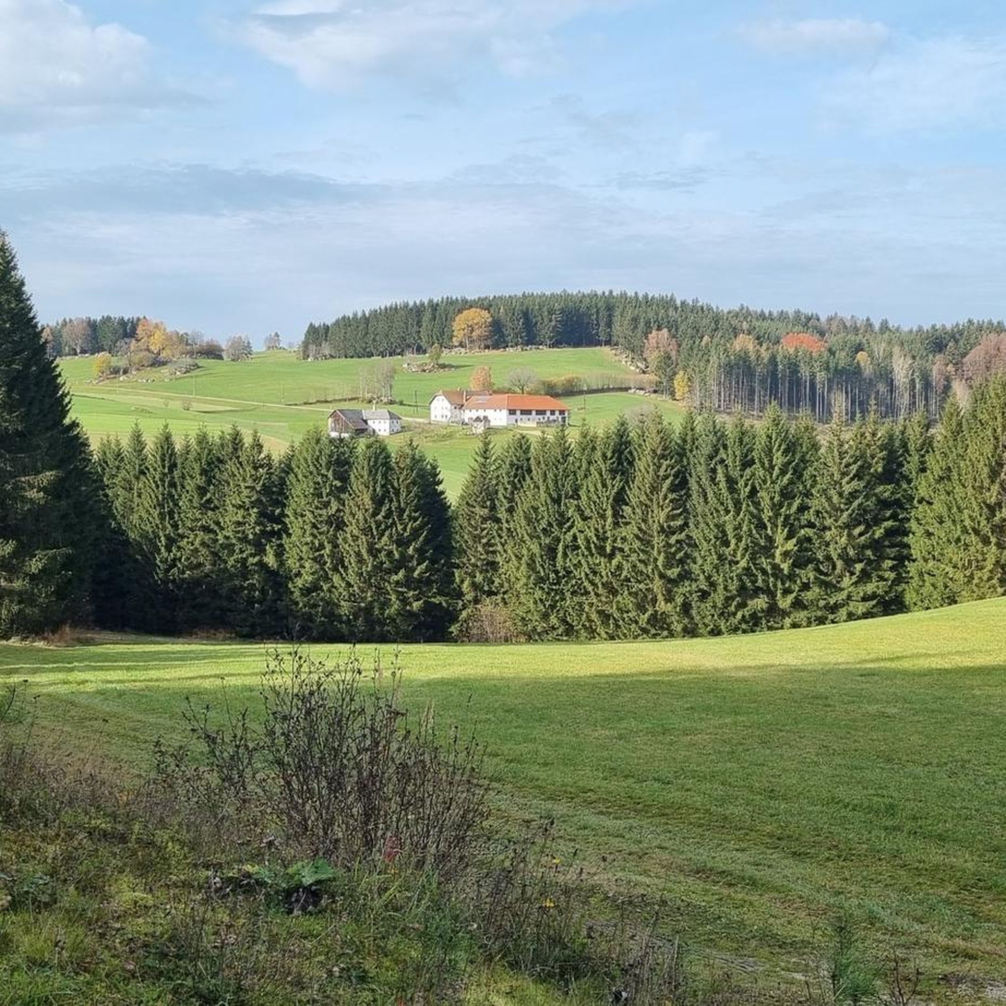
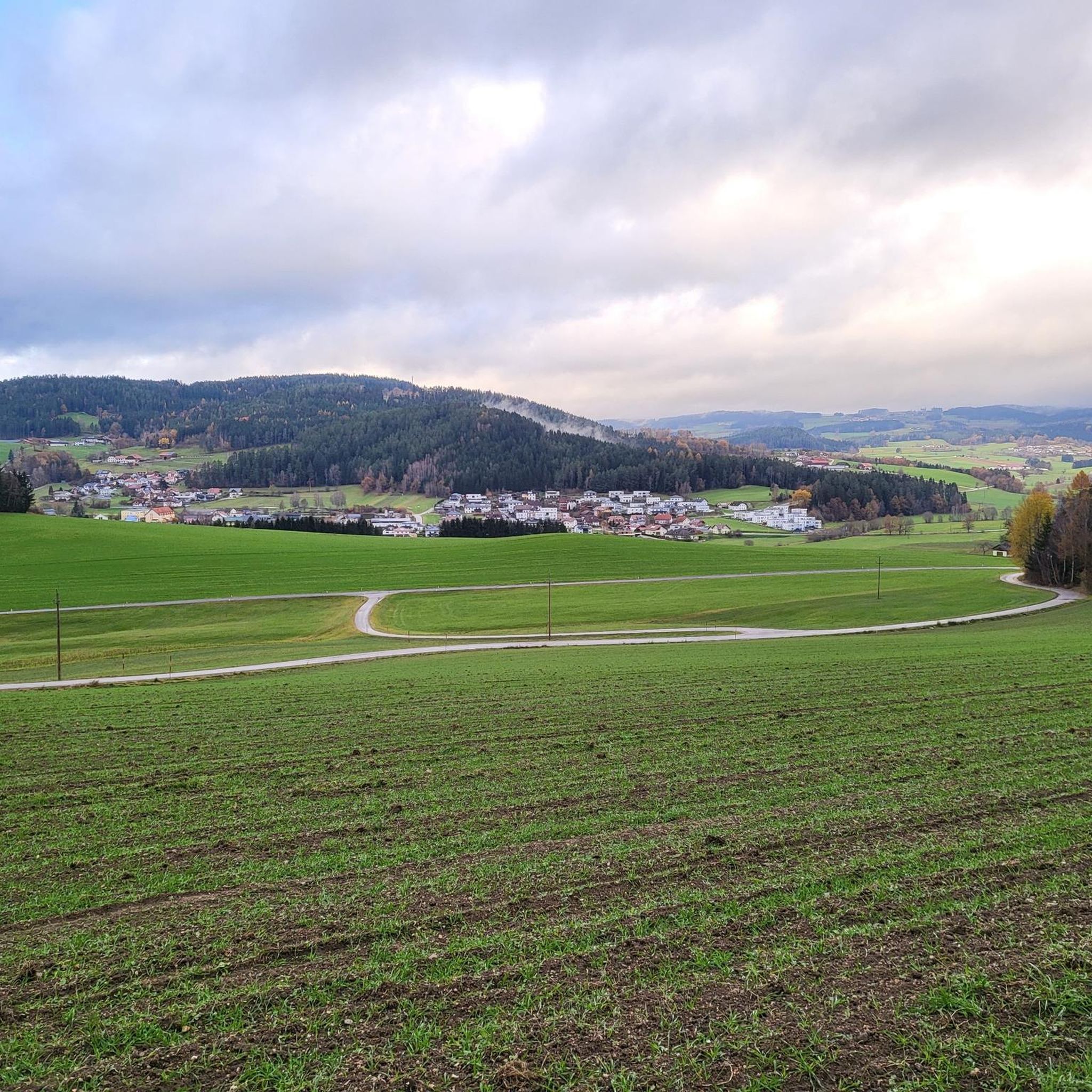
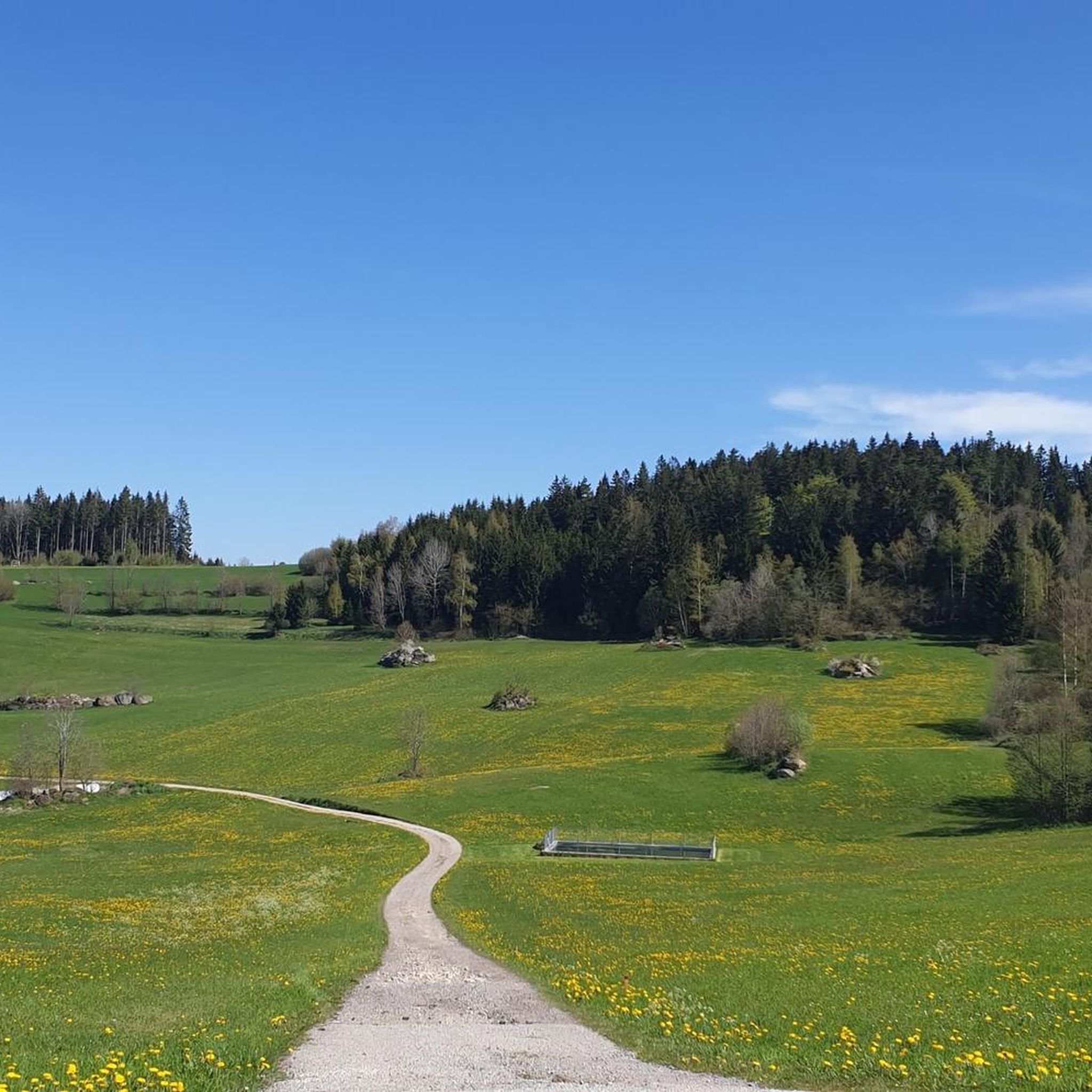
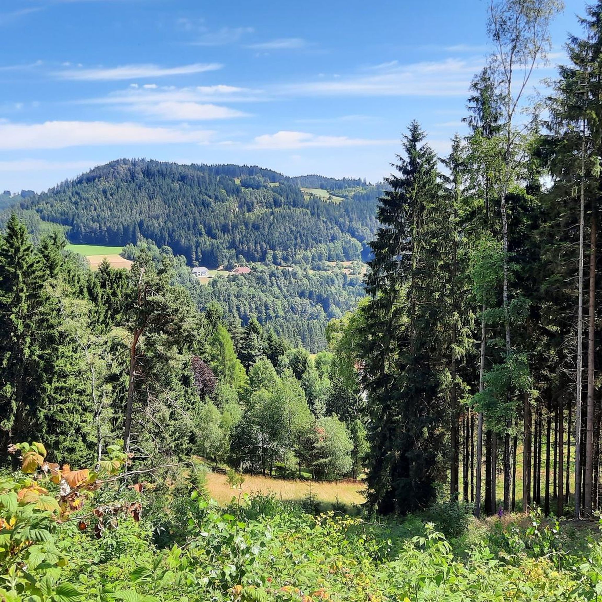
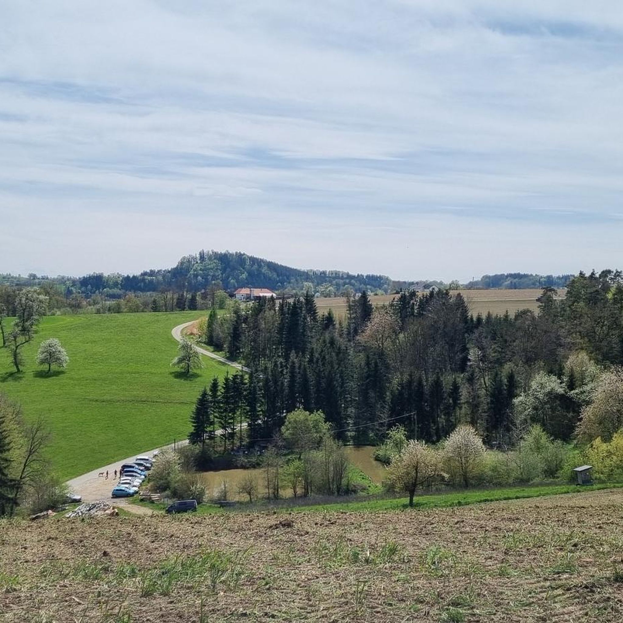
Hiking around Bezirk Freistadt offers a diverse landscape characterized by river valleys, dense forests, and rolling hills. The region, part of the Mühlviertel, features trails alongside waterways like the Feldaist River and through areas with unique geological formations such as glacial boulders. Elevations are generally moderate, making many routes accessible for various fitness levels.
Best hiking trails around Bezirk Freistadt
- The most popular hiking route is Feldaist River Trail – Feldaist Glacial Boulders loop from Gaisbach OÖ Abzw Bahnhof (B123)…
Last updated: July 2, 2026
4.8
(96)
429
hikers
Moderate hike. Good fitness required. Mostly accessible paths. Sure-footedness required.
4.8
(119)
935
hikers
4.75km
01:18
70m
70m
Easy hike. Great for any fitness level. Easily-accessible paths. Suitable for all skill levels.

Sign up for free
4.6
(51)
291
hikers
10.9km
03:02
190m
190m
Moderate hike. Good fitness required. Easily-accessible paths. Suitable for all skill levels.
4.5
(50)
331
hikers
5.17km
01:22
50m
50m
Easy hike. Great for any fitness level. Easily-accessible paths. Suitable for all skill levels.
4.9
(29)
298
hikers
Hard hike. Very good fitness required. Easily-accessible paths. Suitable for all skill levels.
4.8
(53)
293
hikers
11.4km
03:21
310m
310m
Moderate hike. Good fitness required. Easily-accessible paths. Suitable for all skill levels.
4.8
(46)
200
hikers
7.33km
02:15
260m
260m
Moderate hike. Good fitness required. Easily-accessible paths. Suitable for all skill levels.
4.7
(28)
221
hikers
Moderate hike. Good fitness required. Easily-accessible paths. Suitable for all skill levels.
4.7
(28)
214
hikers
Moderate hike. Good fitness required. Easily-accessible paths. Suitable for all skill levels.
4.7
(46)
242
hikers
8.69km
02:31
230m
230m
Moderate hike. Good fitness required. Easily-accessible paths. Suitable for all skill levels.
Get access to more routes and recommendations from other explorers.
Sign up for free
Already have an account?
Our route recommendations are based on thousands of hikes, rides, and runs completed by other people on komoot.
Start today with a free account
Your next adventure awaits.
Login or Signup
Other adventures around Bezirk Freistadt


Tips from the Community

The Scheiblingturm, a historic component of Freistadt's city fortifications, owes its name to its characteristic floor plan, which resembles a disc. This round tower is one of two towers built in the 15th century to strengthen the city's defense. The construction of these round towers was a direct reaction to the Hussite attacks, who attempted to take Freistadt. Although the Hussites failed, they left behind burnt suburbs, which made it clear to the people of Freistadt how important improved protection of the city walls and especially the water system was. Particular attention was paid to the protection of the city moat, which played a central role in the defense strategy. The water inlet and outlet at the lowest point of the moat were specifically secured to prevent manipulation or sabotage by attackers. The Scheiblingturm thus stood as a strategically important point not only for the protection of the city walls but also for securing the water supply in the moat. Thus, the Scheiblingturm contributed significantly to increasing the city's defense. Its robust construction and location enabled the defenders to repel attacks and protect the city's vital infrastructure from enemy interference. Even today, the Scheiblingturm is a reminder of these times and the importance of well-thought-out city security in the Middle Ages.
5
0
The Böhmertor, a historical landmark in the north of the old town Anyone strolling through the northern alleys of the old town will inevitably encounter the imposing Böhmertor. This gate owes its name to its direct connection to Bohemia, more precisely to the trade route that began here, the Prager Straße. Since the city's founding, the structure, built from robust granite stones, has served as an important defensive structure and guarded the access to the old town. Upon closer inspection, the coat of arms of the town of Freistadt catches the eye, adorning the gate and lending it a special dignity. Despite numerous fires in the city center, the Böhmertor stood firm; even the devastating city fire of 1880 could only do it little harm, although the original wooden roof was lost at that time. An exciting detail on the sidelines: while the flames destroyed many buildings back then, the well-situated shop of the Vergeiner brothers was spared because they were in Vienna for study purposes at the time. For every city stroller, the Böhmertor is not only a testament to past times but also a living piece of history that tells stories of trade, defense, and unwavering resilience. Those who linger here can almost feel the pulse of the history that has shaped this city.
1
0

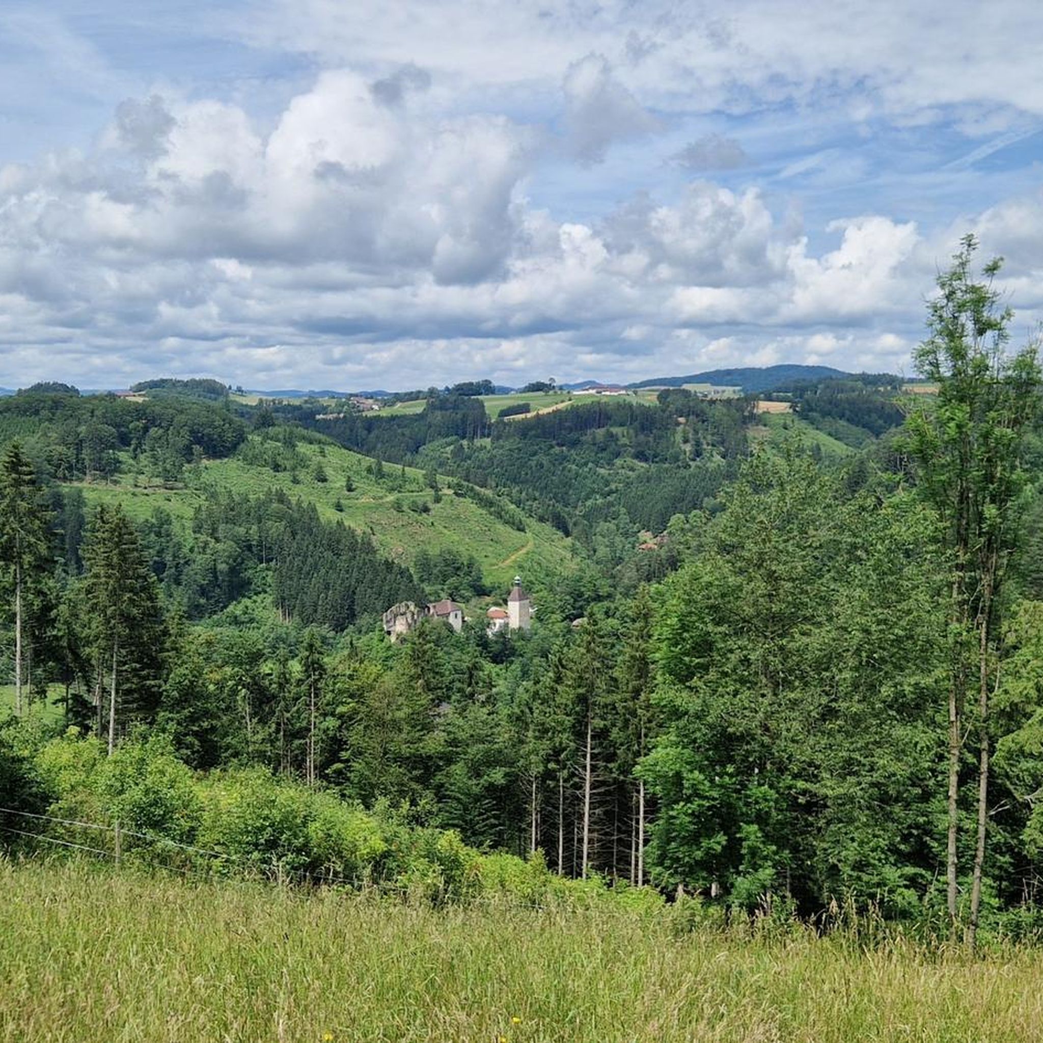
This is a very idyllic spot for resting and scrambling around - from the ruin I only discovered more remains of walls, which are hardly recognizable anymore in the jumble of stones and bushes.
0
0
Unfortunately, cycling is prohibited here - initially very narrow between the house and the fence, afterwards it's a hiking trail dotted with stones and roots.
0
0
The riverbed is currently being massively redesigned here - no reservoir is present anymore
0
0
One of the most beautiful places here on the Feldaist, which is also easily accessible from both sides
0
0

Thurytal is worth a hike at any time of year.
0
0

The Bründl Chapel near St. Leonhard was built in 1728 and is now one of the municipality's listed buildings. Located on the old road to Ennsedt, it exudes a special sense of tranquility with its simple Baroque architecture, dome-like ceiling, and statue of the praying Virgin Mary. According to tradition, the spring water that springs here has healing powers—especially for the eyes and ears—which is why the chapel remains a popular place of contemplation to this day. A visit can be wonderfully combined with a bike ride, for example, on the Haiderberg panoramic view trail, which leads to the highest point in the municipality. From there, a wide view of the hilly landscape of the Mühlviertel opens up before you return to the chapel and take in the tranquil setting at the Bründl.
0
0
Frequently Asked Questions
How many hiking trails are there in Bezirk Freistadt?
Bezirk Freistadt offers a vast network of over 1,700 hiking routes. These trails cater to various preferences, ranging from easy strolls to more challenging moderate and difficult paths through the diverse landscapes of the Mühlviertel.
Are there easy hiking trails suitable for beginners or families in Bezirk Freistadt?
Yes, Bezirk Freistadt has numerous easy trails perfect for beginners and families. For a gentle experience, consider the Rubner Pond – Tannermoor Forest Trail loop from Tanner Moor, which is 3.0 miles (4.8 km) long and explores the tranquil Tannermoor forest and its pond. Another accessible option is the Hammer Mill – Kumpfmühle Watermill loop from Pregarten, offering a pleasant 3.3 miles (5.2 km) walk.
What kind of natural attractions can I see along the hiking trails in Bezirk Freistadt?
The region is rich in natural beauty. You can encounter unique geological formations like the glacial boulders along the Feldaist River. The Feldaist River Trail – Feldaist Glacial Boulders loop from Gaisbach OÖ Abzw Bahnhof (B123) is an excellent route to experience this. Additionally, the area features tranquil ponds such as the Rubner Pond in the Tannermoor, and various rock formations like the Hirtstein Rock Formation.
Are there any circular hiking routes in Bezirk Freistadt?
Many of the trails in Bezirk Freistadt are designed as circular routes, offering convenient starting and ending points. Examples include the Feldaist Stream in the Thury Valley – Freistadt loop from Freistadt, which is 6.8 miles (10.9 km), and the Buchberg Summit – View of Schloss Weinberg loop from Elz, a 4.5 miles (7.3 km) route with scenic views.
What is the best time of year to go hiking in Bezirk Freistadt?
The best time for hiking in Bezirk Freistadt is generally from spring through autumn (April to October). During these months, the weather is mild, and the landscapes are vibrant, making for pleasant conditions. Summer offers lush greenery, while autumn brings beautiful fall foliage. Some trails may also be suitable for winter walks, especially those at lower elevations, but always check local conditions.
Are dogs allowed on the hiking trails in Bezirk Freistadt?
Most hiking trails in Bezirk Freistadt are dog-friendly, allowing you to enjoy the natural beauty with your canine companion. However, it's always recommended to keep dogs on a leash, especially in nature reserves, near livestock, or in areas with wildlife. Please also ensure you clean up after your pet.
Are there any hikes that pass by historical sites or interesting landmarks?
Yes, several routes in Bezirk Freistadt incorporate historical sites and landmarks. For instance, the Herrgottssitz Rock Formation – Prandegg Castle Ruins loop from Schönau im Mühlkreis takes you past the impressive Prandegg Castle Ruins. Another route, the Pechölstein in the Mühlviertel – Doomsday Stones loop from St. Leonhard bei Freistadt, explores areas with unique cultural and geological significance.
What do other hikers enjoy most about hiking in Bezirk Freistadt?
The komoot community highly rates hiking in Bezirk Freistadt, with an average score of 4.6 stars from over 4,400 reviews. Hikers frequently praise the region's diverse landscapes, from river valleys and dense forests to rolling hills, as well as the well-maintained trails and the tranquil atmosphere. The accessibility of routes for various fitness levels is also a common highlight.
Are there opportunities for refreshments or pub stops along the trails?
Yes, many hiking routes in Bezirk Freistadt pass through or near charming villages and towns where you can find traditional Austrian guesthouses (Gasthäuser) and restaurants. These offer opportunities to enjoy local cuisine and refreshments. While specific routes aren't listed with pub stops, planning your hike to include a village visit is often possible.
What are some scenic hikes with good viewpoints in Bezirk Freistadt?
For panoramic views, consider the Buchberg Summit – View of Schloss Weinberg loop from Elz, which offers vistas towards Schloss Weinberg. The region's rolling hills often provide elevated points with expansive views of the Mühlviertel landscape, characterized by its forests and valleys.
How can I find parking for hiking trails in Bezirk Freistadt?
Most trailheads in Bezirk Freistadt, especially those near villages or popular starting points, offer designated parking areas. It's advisable to check the specific route details on komoot, as many tours provide information about parking availability at the starting point. Public transport connections are also available for some routes.
Most popular routes around Bezirk Freistadt
Most popular attractions around Bezirk Freistadt

Get inspired with the komoot mobile app


Didn’t find what you were looking for?
Check out more Hikes throughout Bezirk Freistadt below and find the perfect route in your destination.
Explore more
Browse the best Hikes in other regions.
