The best mountain hikes around Prazzo
4.5
(18)
124
hikers
16
hikes
Mountaineering routes around Prazzo are situated in the Cuneo region, characterized by its mountainous terrain and alpine landscapes. The area features a mix of high peaks, valleys, and varied elevations, providing diverse conditions for mountaineering. The routes often traverse rocky paths, open alpine meadows, and can include significant elevation gains.
Best mountaineering routes around Prazzo
- The most popular mountaineering route is Borgata Preit (1540 m) loop from Preit, an 8.0 miles (12.8 km) trail that takes about 4 hours…
Last updated: June 24, 2026
17
hikers
6.98km
04:25
710m
710m
Hard mountaineering route. Good fitness required. Sure-footedness, sturdy shoes and alpine experience required.
3.0
(2)
16
hikers
4.33km
01:38
290m
290m
Easy mountaineering route. Great for any fitness level. Easily-accessible paths. Suitable for all skill levels.

Sign up for free
5.0
(1)
13
hikers
3.27km
01:41
390m
390m
Moderate mountaineering route. Good fitness required. Easily-accessible paths. Suitable for all skill levels.
5.0
(3)
11
hikers
18.5km
07:02
1,040m
1,050m
Hard mountaineering route. Very good fitness required. Mostly accessible paths. Sure-footedness required.
7
hikers
Hard mountaineering route. Very good fitness required. Sure-footedness, sturdy shoes and alpine experience required.
Get access to more routes and recommendations from other explorers.
Sign up for free
Already have an account?
Our route recommendations are based on thousands of hikes, rides, and runs completed by other people on komoot.
Start today with a free account
Your next adventure awaits.
Login or Signup
Popular around Prazzo

The Komoot Torino-Nice Rally
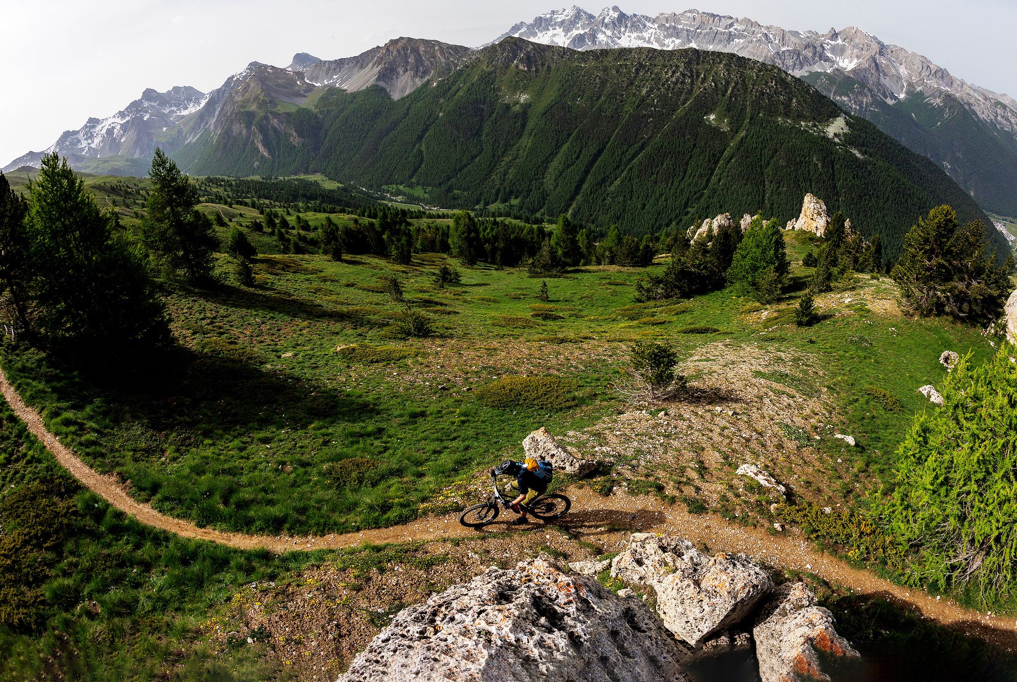
The STONE KING Route – adventure enduro from High Alps to the Med
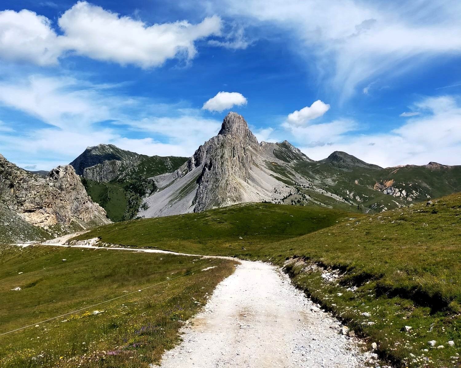
Run through the history of Italy’s Maira Valley – Occitan Paths
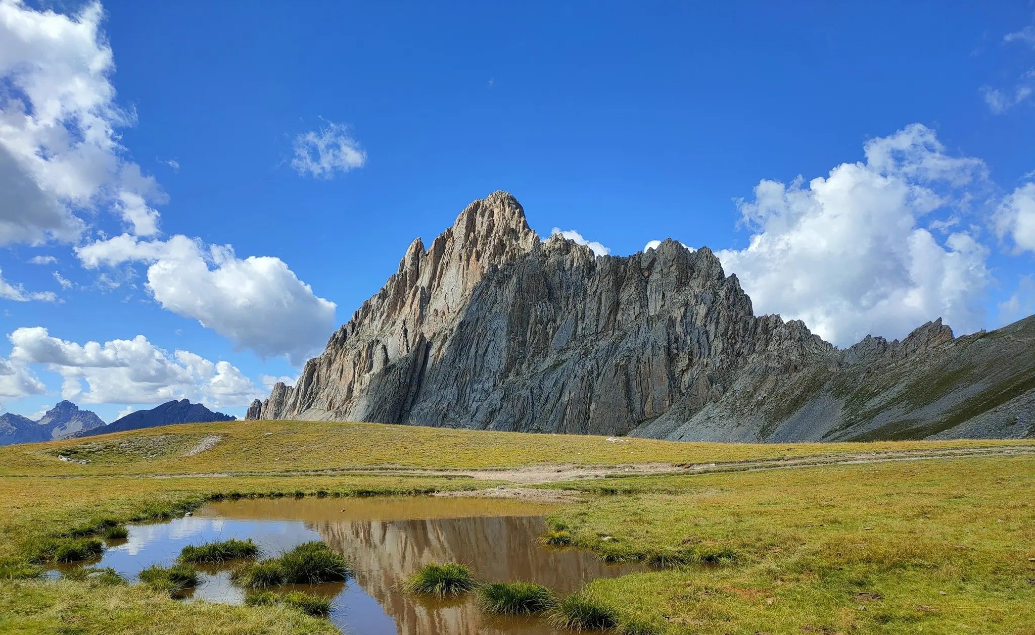
Among the treasures of the Maira Valley – Occitan Paths
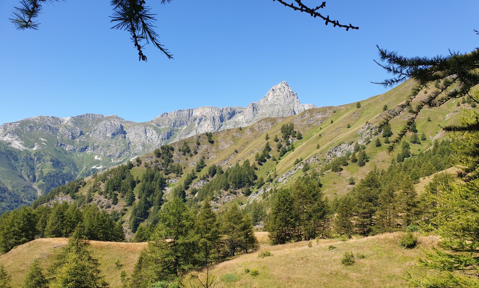
Percorsi Occitani — the path of rebirth of the Maira Valley

Hiking around Prazzo
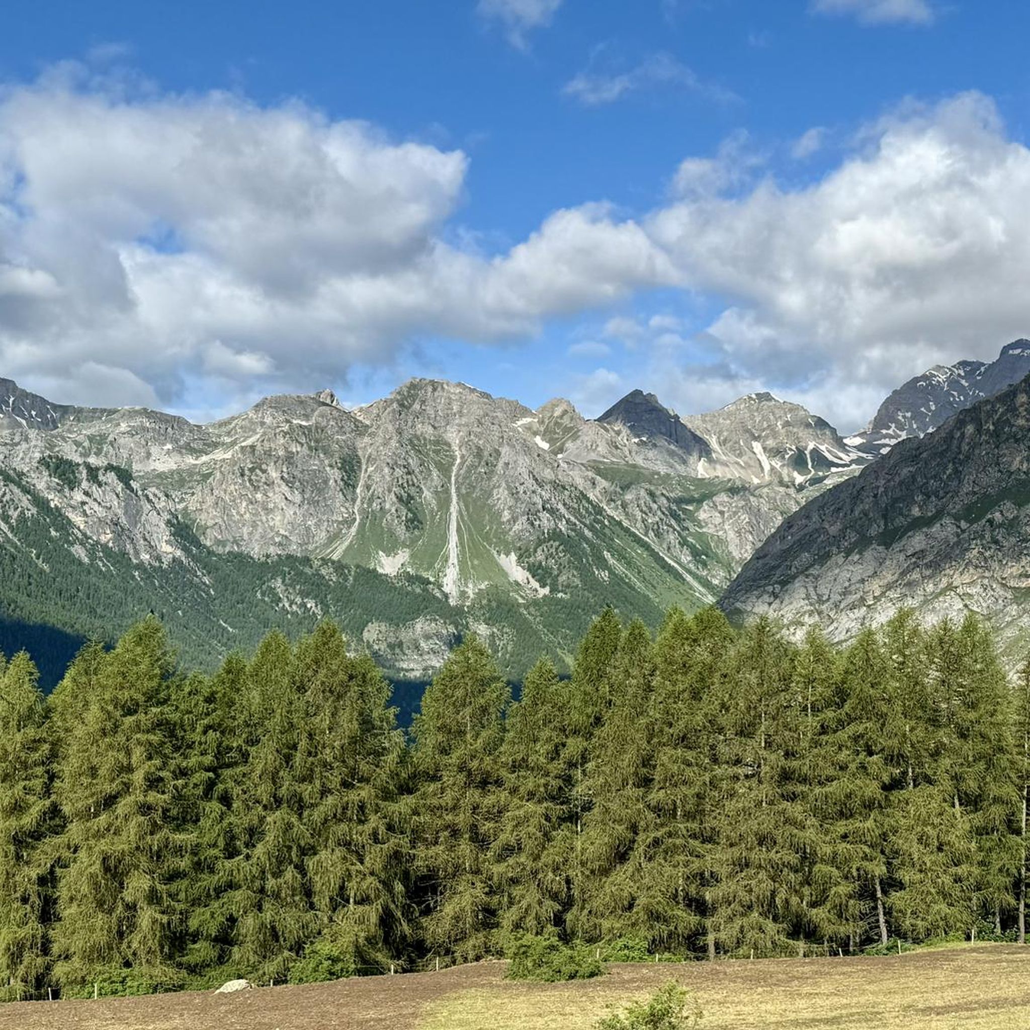
Road Cycling Routes around Prazzo
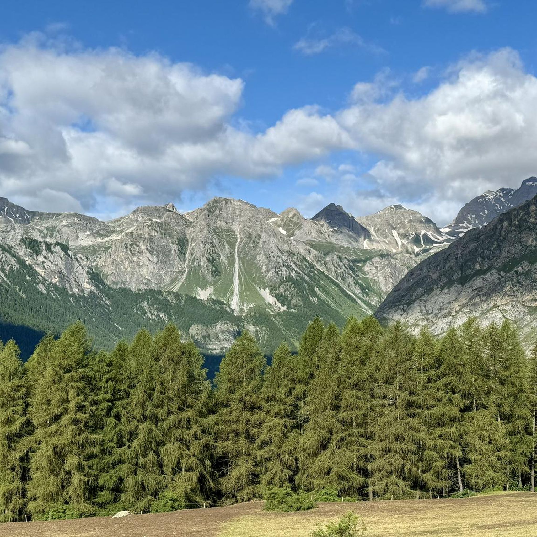
MTB Trails around Prazzo

Gravel biking around Prazzo
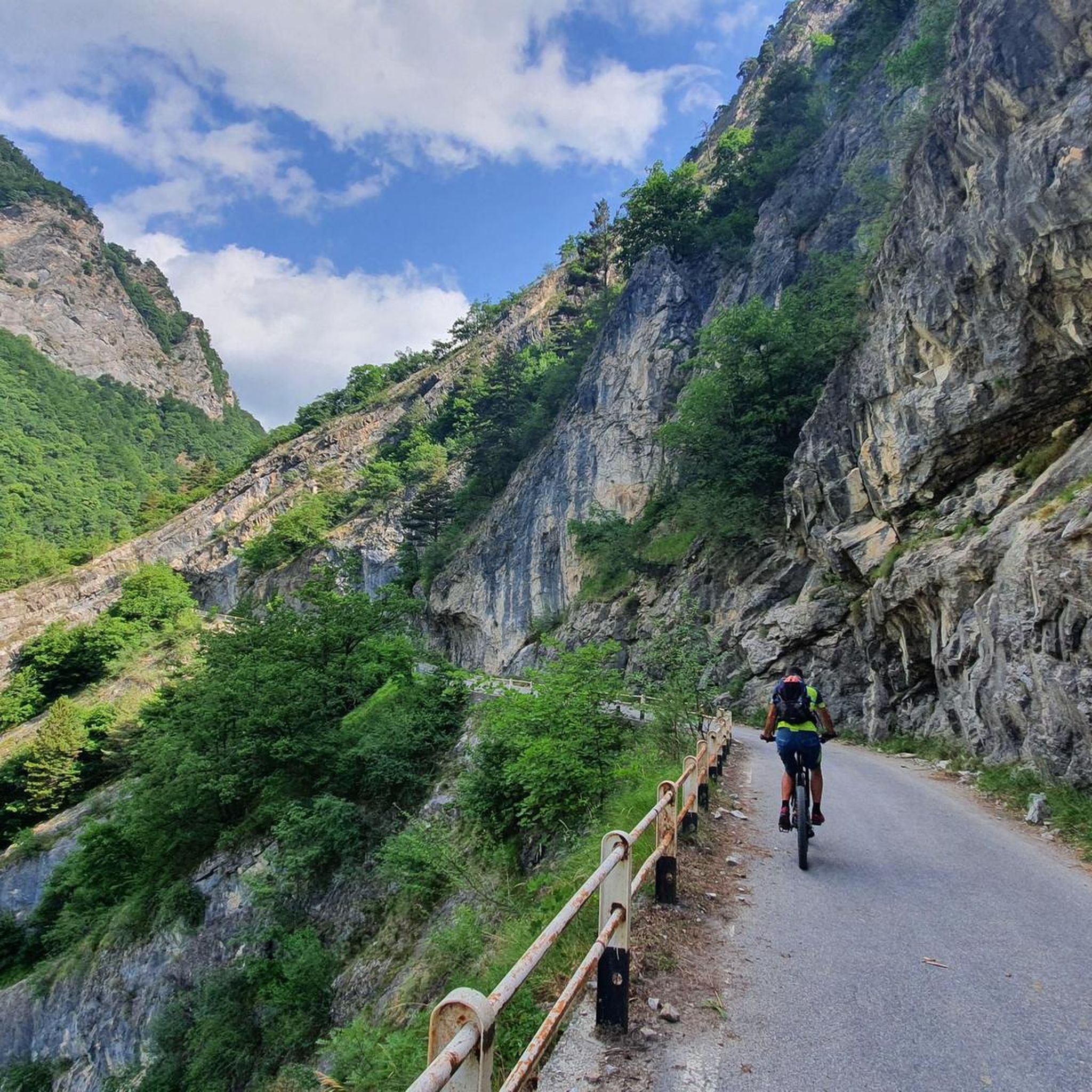
Cycling around Prazzo
Other adventures around Prazzo


Tips from the Community

The Elio Bonfante bivouac is located in the Maira Valley, in the municipality of Prazxo, at the foot of Chersogno and Rocca La Marchisa, at 2,630 meters above sea level. It has 12 beds.
0
0

It can be reached on a good, not difficult path in about 1.40 hours, and offers an excellent view of Chiappera and the surrounding Dolomite peaks.
0
0


Colle della Bicocca can be reached by following the panoramic Via dei Cannoni, and from here you can enjoy a splendid panorama. The gaze runs between Val Varaita and Val Maira and on the horizon you can easily recognize Monviso and Monte Pelvo.
2
0

Beautiful village, starting point for various paths and for the via ferrata of the same name.
0
0
Nice starting point for various paths or for the via ferrata of Camoglieres. Several parking spaces available.
0
0

Beautiful village, very well kept. The "Napoleonic Path" starts from here
2
0

The Napoleonic path starts from here, very very beautiful and highly recommended, panoramic point on the rock
1
0
Frequently Asked Questions
How many mountaineering routes are available around Prazzo?
There are over 30 mountaineering routes around Prazzo, offering a wide range of options for different skill levels. The area is known for its diverse terrain in the Cuneo region.
Are there any easy mountaineering routes suitable for beginners in Prazzo?
While many routes in Prazzo are challenging, there is at least one easy route available. For those looking for a moderate introduction, consider the Borgata Preit (1540 m) loop from Preit, which is 8.0 miles long and takes about 5 hours.
What are some challenging routes for experienced mountaineers in the Prazzo area?
Experienced mountaineers will find plenty of challenging options. A notable difficult route is the View of Rocca Senghi – Via Ferrata Rocca Senghi loop from Punta Rasis, a 3.0-mile path featuring challenging sections and views. Another demanding option is the Rifugio Viviere – Monte Scaletta loop from Viviere, a 9.5-mile trail through high alpine terrain.
Are there circular mountaineering routes around Prazzo?
Yes, many of the mountaineering routes in Prazzo are designed as loops. Examples include the Borgata Preit (1540 m) loop from Preit and the Pelvo d'Elva – Rocce del Pelvo loop from Colle della Bicocca, offering varied terrain and panoramic views.
What is the best season for mountaineering in Prazzo?
The best season for mountaineering in Prazzo is typically from late spring to early autumn (June to September) when the weather is more stable, and trails are generally free of snow. However, conditions can vary, so always check local forecasts before heading out.
What kind of attractions or landmarks can I see along the mountaineering routes?
The routes around Prazzo offer access to several interesting landmarks and natural features. You might encounter the Gardetta Hut, the serene Lago Nero (Valle Maira), or historical sites like the Bandia Barracks. Mountain passes like Colle Greguri also offer stunning views.
Are there any specific considerations for winter mountaineering in Prazzo?
Winter mountaineering in Prazzo can be very challenging due to snow, ice, and colder temperatures. It requires specialized equipment like snowshoes or crampons, avalanche awareness, and significant experience. Many routes may be inaccessible or require expert guidance during winter months.
Is parking available at the trailheads for mountaineering routes?
Parking availability varies by trailhead. Many starting points for mountaineering routes in alpine regions like Prazzo often have designated parking areas, especially in villages or near popular access points. It's advisable to check specific route descriptions for detailed parking information.
What do other mountaineers enjoy most about the routes in Prazzo?
The mountaineering routes in Prazzo are highly rated by the komoot community, with an average score of 4.6 stars from over 40 reviews. Users frequently praise the panoramic views of the Cuneo Alps, the challenging ascents, and the diverse high mountain terrain.
Are there any unique or less common mountaineering routes in the area?
For those seeking a less common experience, the Lago Camoscere – Pelvo d'Elva loop from Colle della Bicocca offers a challenging 11.5-mile journey through varied landscapes, providing a different perspective of the region's high peaks and alpine lakes.
What kind of terrain can I expect on mountaineering routes around Prazzo?
Mountaineering routes around Prazzo traverse a mix of terrain, including rocky paths, open alpine meadows, and can involve significant elevation gains. You'll encounter high mountain passes and challenging ascents characteristic of the Cuneo region's alpine landscapes.
Most popular attractions around Prazzo

Get inspired with the komoot mobile app


Explore more
Browse the best Mountain Hikes & Routes in other regions.
