The best running trails around Sampeyre
4.1
(20)
1,156
runners
12
runs
Jogging routes around Sampeyre offer a diverse landscape for runners, characterized by its mountainous terrain, including numerous hills and passes. The region features a mix of forested paths and open trails that provide varying elevation changes. Runners can expect routes that traverse valleys and ascend towards scenic viewpoints, with several trails leading to mountain huts.
Best jogging routes around Sampeyre
- The most popular jogging route is Cairn With a View loop from Sampeyre, a 13.0 miles (20.9 km) trail…
Last updated: August 18, 2026
19
runners
20.3km
03:51
1,400m
1,400m
Hard run. Very good fitness required. Sure-footedness, sturdy shoes and alpine experience required.
5.0
(1)
33
runners
12.9km
01:37
350m
350m
Hard run. Very good fitness required. Sure-footedness, sturdy shoes and alpine experience required.

Sign up for free
13
runners
7.48km
01:16
570m
580m
Hard run. Very good fitness required. Mostly paved surfaces. Suitable for all skill levels.
14
runners
12.9km
01:24
220m
220m
Moderate run. Good fitness required. Mostly paved surfaces. Suitable for all skill levels.
10
runners
12.4km
01:36
250m
250m
Hard run. Good fitness required. Sure-footedness, sturdy shoes and alpine experience required.
Get access to more routes and recommendations from other explorers.
Sign up for free
Already have an account?
Our route recommendations are based on thousands of hikes, rides, and runs completed by other people on komoot.
Start today with a free account
Your next adventure awaits.
Login or Signup
Popular around Sampeyre

The Komoot Torino-Nice Rally
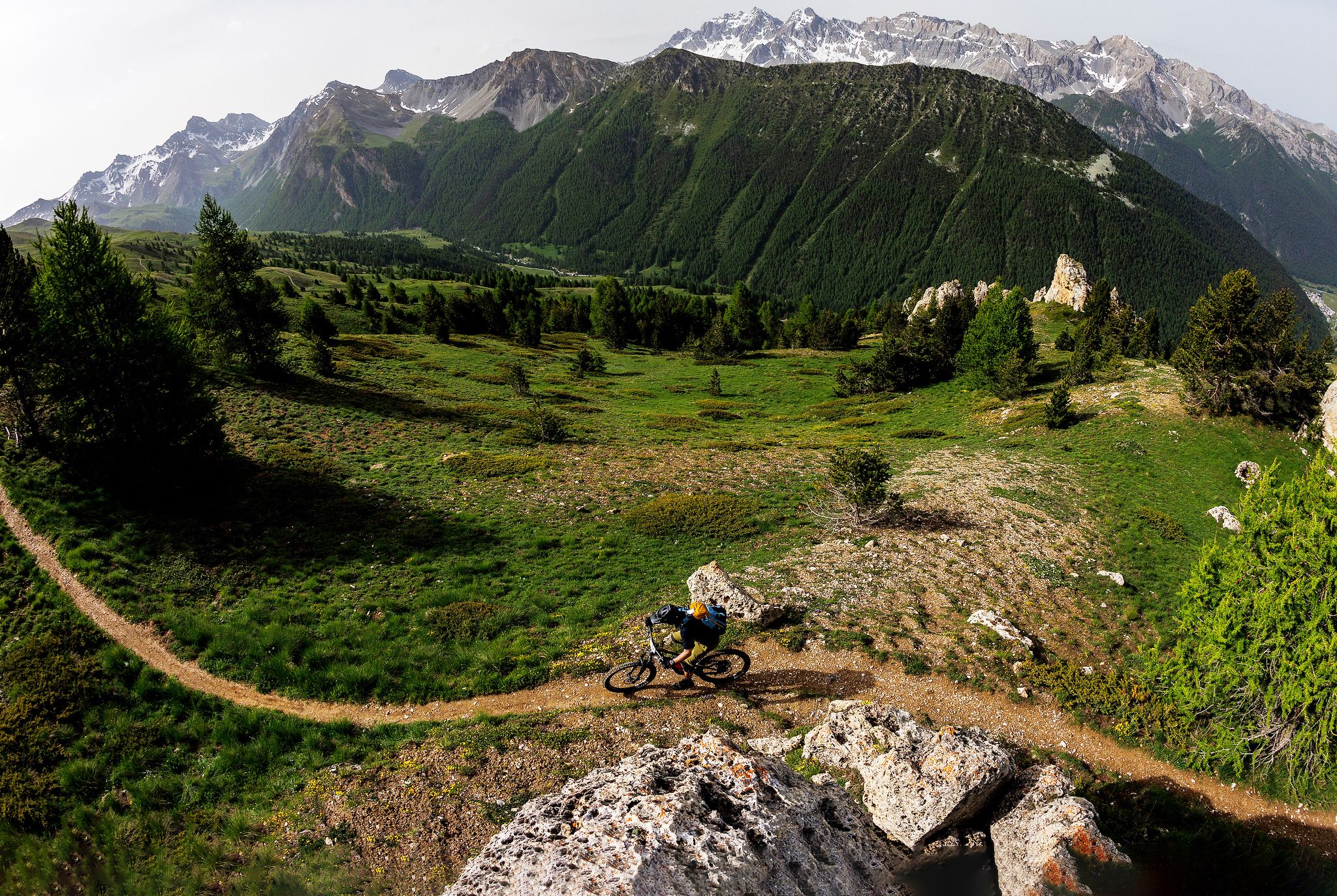
The STONE KING Route – adventure enduro from High Alps to the Med
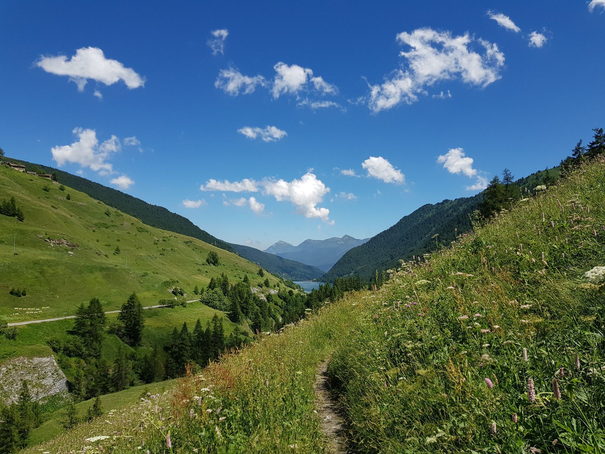
Varaita Valley Trekking – a journey into the lands of Italy’s Monviso
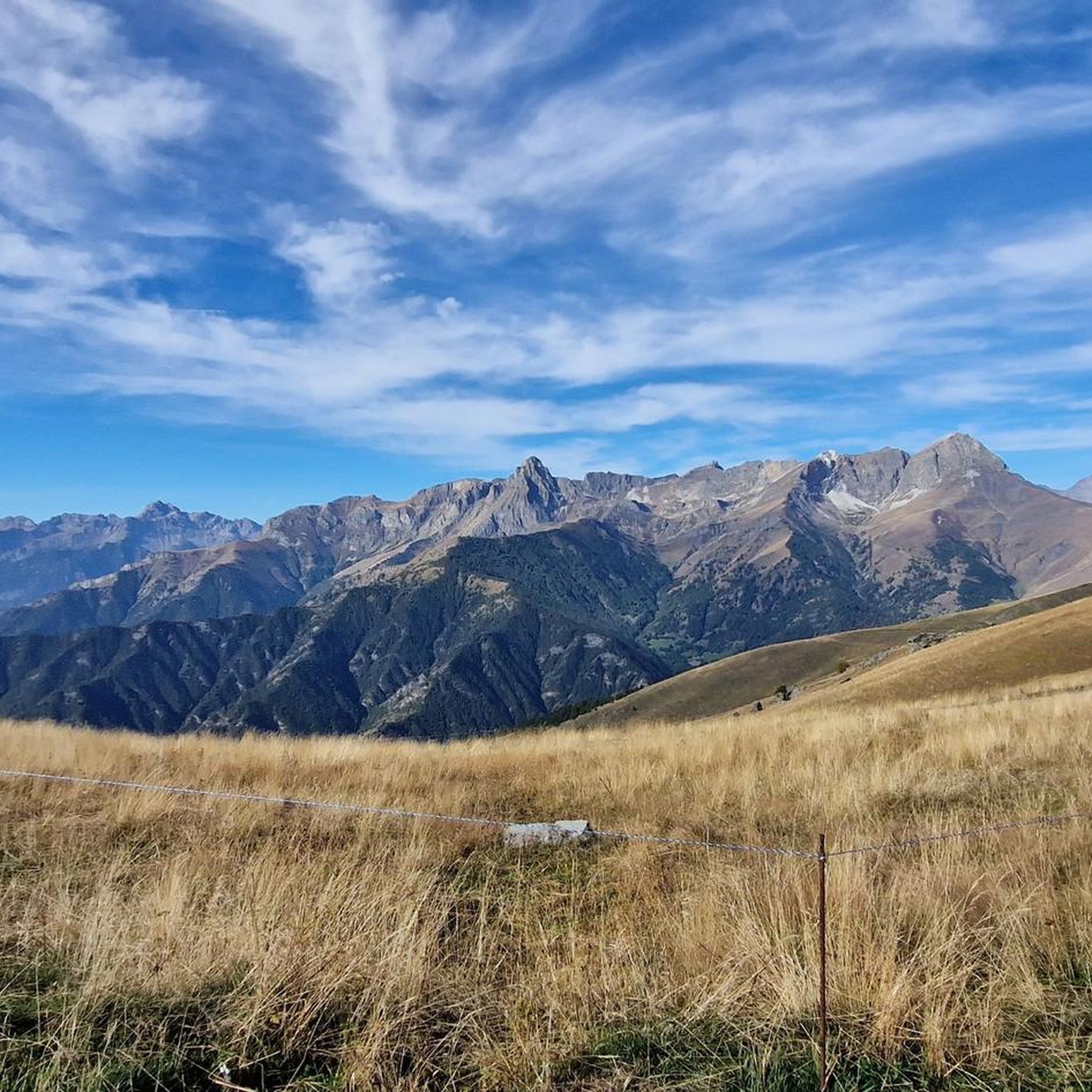
Hiking around Sampeyre
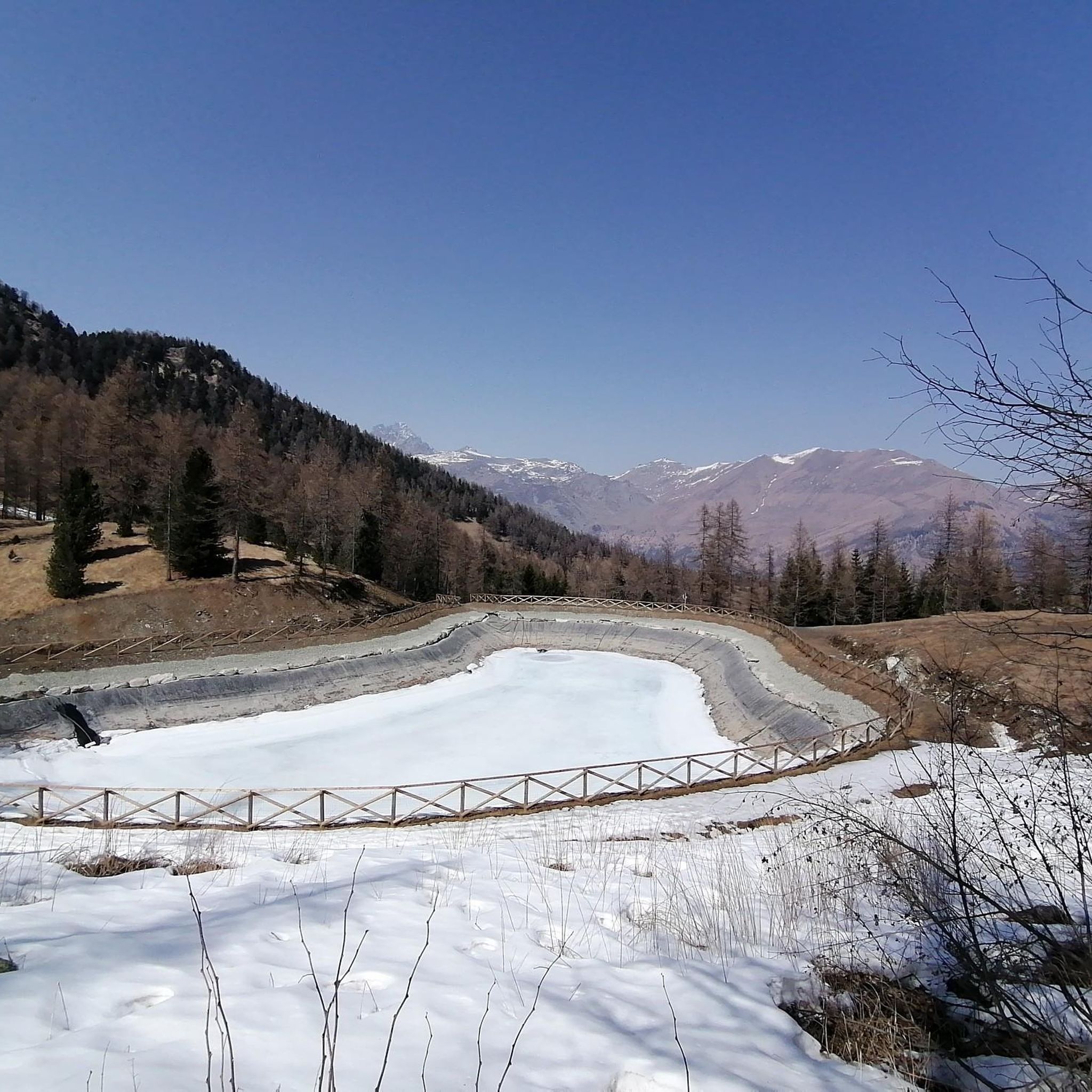
Cycling around Sampeyre
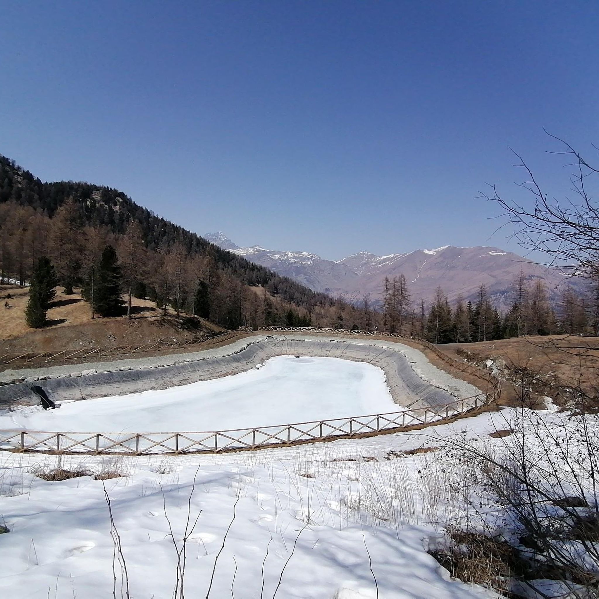
MTB Trails around Sampeyre
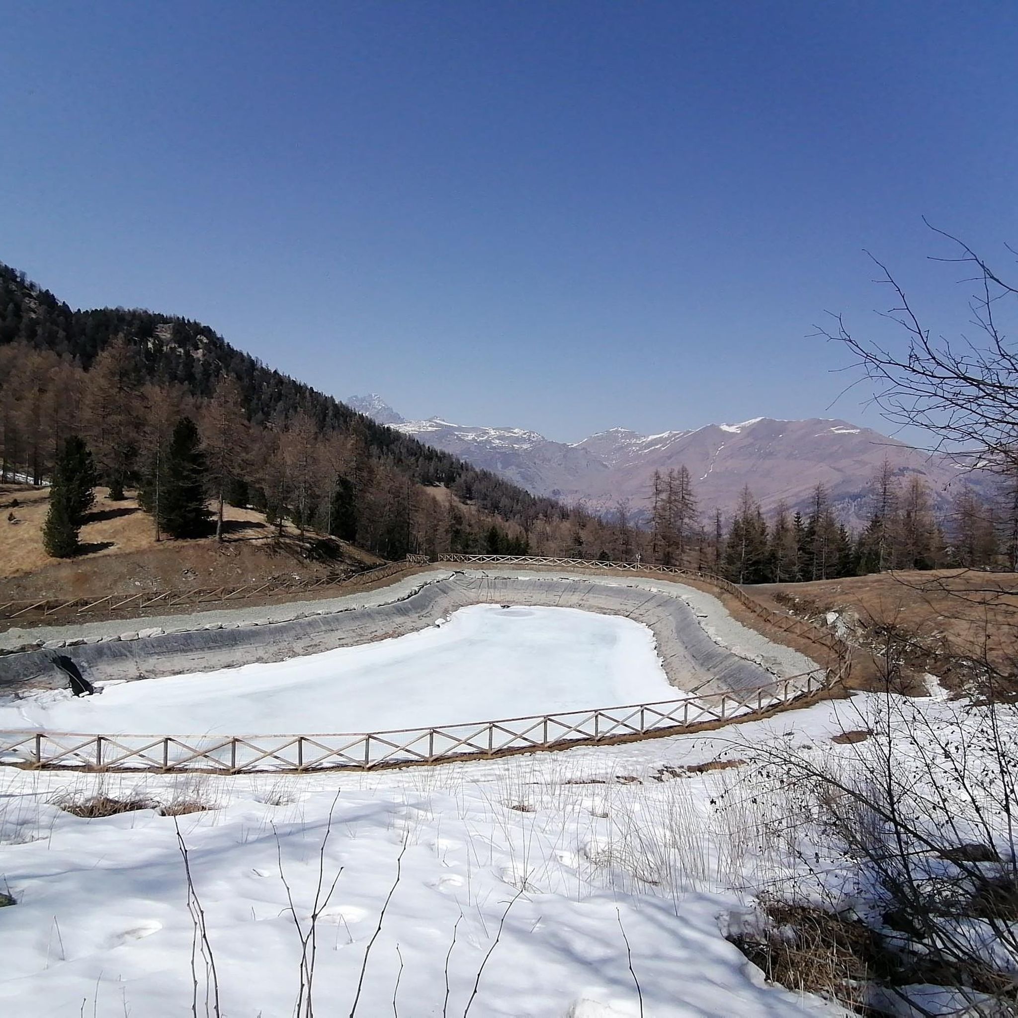
Road Cycling Routes around Sampeyre
Gravel biking around Sampeyre
Mountain Hikes around Sampeyre
Other adventures around Sampeyre


Tips from the Community

Beautiful village on the road between Sampeyre and Casteldelfino. Right at the entrance, a pretty little church greets you, then a small square with a drinking fountain and a beautiful wooden statue. The rest is made up of beautiful, well-restored houses. Worth a visit.
0
0

Easy summit for easy ski tours
0
0

Beautiful in every season😊
0
0


Colle della Bicocca can be reached by following the panoramic Via dei Cannoni, and from here you can enjoy a splendid panorama. The gaze runs between Val Varaita and Val Maira and on the horizon you can easily recognize Monviso and Monte Pelvo.
2
0

Climb on a fairly steep path that cuts off a piece of the road
1
0

Steep, narrow, lonely, magnificent mountain scenery and plenty of altitude! Do you need more?
2
1

It is one of the most spectacular passes in Piedmont. Without a doubt it is in my Top 5 of Piedmont (Fauniera, Agnello, Nivolet, Colle delle Finestre and Colle di Sampeyre). For many it is a great unknown since Fauniera and Agnello are around it, two passes with a lot of name. It has the characteristics of a colossus: it is long, hard, high (over 2,000m) and has privileged views. Colle Sampeyre connects the Maira valley with the Varaita valley, where the town of Sampeyre is located. It has 3 slopes: two through the Maira valley and one through the Varaita valley. Of the 3, the most special for me is the one through the Elba valley, which starts at Ponte Marmora. The road on the 2 sides of the Maira valley is not in good condition so I suggest going up one of these and going down the side of the Varaita valley, which is in good condition as it was resurfaced in 2023. Obviously, we are talking about narrow roads, with no road signs and no hard shoulder. There is very little traffic, so you only have to worry about the ramps, the views and enjoying nature. Regarding the ban on going up the Elba valley... no problem. You can go up by bike perfectly. At the start of the climb the locals put up a barrier to discourage tourists and prevent them from disturbing their peace and the mountains. Cyclists are very welcome. It has been part of the Giro d'Italia on 2 occasions. On the second occasion, in 2003, it will go down in history as the snowy stage, where Gilberto Simoni crowned and Pantani fell on the descent trying to catch him. As well as being a Top 5 in Piedmont, it is also a Top 15 in Italy. It is a mountain pass that I am very fond of. I always recommend it to cyclists who go through that area.
3
0
Frequently Asked Questions
How many running routes are available in the Sampeyre area?
Sampeyre offers a selection of over 10 dedicated running routes on komoot, catering to various fitness levels. These trails navigate the region's mountainous terrain, providing diverse landscapes for runners.
Are there any easy or beginner-friendly jogging routes in Sampeyre?
The jogging routes around Sampeyre are generally challenging due to the mountainous terrain. While there are no routes classified as 'easy', you can find a few 'moderate' options, such as the Borgata Calchesio loop from Sampeyre, which offers a less strenuous experience compared to the more difficult trails.
What kind of terrain can I expect on Sampeyre's running trails?
Runners in Sampeyre can expect a varied landscape, characterized by mountainous terrain with numerous hills and passes. The routes feature a mix of forested paths and open trails, often involving significant elevation changes as they traverse valleys and ascend towards scenic viewpoints. Many trails also lead to traditional mountain huts, known as rifugios.
Are there any circular jogging routes in Sampeyre?
Yes, many of the running routes in Sampeyre are circular, allowing you to start and finish in the same location. For example, the Borgata Calchesio loop from Sampeyre is a moderate circular route, and the more challenging Colle Terziere – Colle della Bicocca loop from Colle di Sampeyre also offers a circular path.
What do other runners say about the trails in Sampeyre?
The running routes in Sampeyre are highly regarded by the komoot community, boasting an average rating of 4.4 stars from over 15 reviews. Runners frequently praise the challenging mountain landscapes, the rewarding views from higher elevations, and the unique experience of reaching traditional rifugios along the way.
Are there any interesting natural attractions or landmarks to see while running in Sampeyre?
Absolutely! Sampeyre's surroundings are rich with natural and historical points of interest. You can explore fascinating geological formations like the Balma Boves or the Balmascura Cave. Many routes also lead to charming mountain huts, such as the Pian del Re Hut, offering scenic stops.
Can I find routes that pass by mountain huts or rifugios in Sampeyre?
Yes, Sampeyre is known for its trails that lead to mountain huts (rifugios). These huts often provide a welcome resting point and stunning views. For instance, the Rifugio Meira Garneri loop from Sampeyre is a popular route specifically designed to take you to a rifugio.
What is the best time of year for running in Sampeyre?
The best time for running in Sampeyre is typically from late spring through early autumn (May to October) when the weather is milder and the mountain trails are generally free of snow. During these months, you can fully enjoy the forested paths and high-altitude viewpoints. Winter running is possible but requires appropriate gear and caution due to snow and ice.
Are there any running routes in Sampeyre that are suitable for families?
Given the mountainous and often challenging nature of Sampeyre's trails, most routes are better suited for experienced runners. However, families looking for a less strenuous outdoor experience might consider shorter, lower-elevation sections of trails or explore the region's many walking paths, which may be more appropriate for younger children or those new to mountain activities.
Are dogs allowed on the jogging routes in Sampeyre?
Generally, dogs are welcome on most public trails in the Sampeyre region, provided they are kept under control, especially in areas with livestock or wildlife. It's always advisable to check local regulations or specific trail signs, and to ensure your dog is accustomed to mountainous terrain and varying elevations before embarking on a run.
What should I wear for jogging in Sampeyre's mountainous environment?
Due to the varying elevations and mountain weather, it's recommended to wear layers. Technical running gear that wicks moisture, a windproof and waterproof jacket, and sturdy trail running shoes with good grip are essential. Even in summer, temperatures can drop quickly at higher altitudes, so a light hat and gloves can be useful.
Are there options for parking near the running trailheads in Sampeyre?
Yes, many of the running routes in Sampeyre start from accessible points where parking is available, particularly in and around the main village of Sampeyre or smaller hamlets like Ruà and Colle di Sampeyre. It's common to find designated parking areas near trailheads, though availability might vary during peak seasons.
Most popular routes around Sampeyre
Most popular attractions around Sampeyre

Get inspired with the komoot mobile app


Explore more
Browse the best Running Trails & Routes in other regions.
