The best walks and hikes around Inveruno
4.3
(860)
4,581
hikers
338
hikes
Hiking around Inveruno provides access to routes across the flat plains of Lombardy, characterized by its network of canals and proximity to the Ticino River. The terrain is generally level, with minimal elevation changes, making it suitable for accessible walks. The area features a mix of agricultural landscapes, riverside paths, and routes connecting small towns.
Best hiking trails around Inveruno
- The most popular hiking route is Via Francisca del Lucomagno - Ticino River Loop, a 10.6 miles (17.1 km)…
Last updated: June 25, 2026
4.4
(5)
10
hikers
17.1km
04:21
60m
60m
Hike the moderate 10.6-mile Via Francisca del Lucomagno - Ticino River Loop, exploring riverside paths and historical sites in Parco del Tic
4.5
(2)
4
hikers
15.9km
04:04
60m
60m
Moderate hike. Good fitness required. Easily-accessible paths. Suitable for all skill levels.

Sign up for free
4.0
(1)
16
hikers
7.30km
01:50
10m
10m
Easy hike. Great for any fitness level. Easily-accessible paths. Suitable for all skill levels.
5.0
(1)
9
hikers
Moderate hike. Good fitness required. Easily-accessible paths. Suitable for all skill levels.
5.0
(1)
11
hikers
11.2km
02:51
30m
30m
Moderate hike. Good fitness required. Easily-accessible paths. Suitable for all skill levels.
Get access to more routes and recommendations from other explorers.
Sign up for free
Already have an account?
Our route recommendations are based on thousands of hikes, rides, and runs completed by other people on komoot.
Start today with a free account
Your next adventure awaits.
Login or Signup
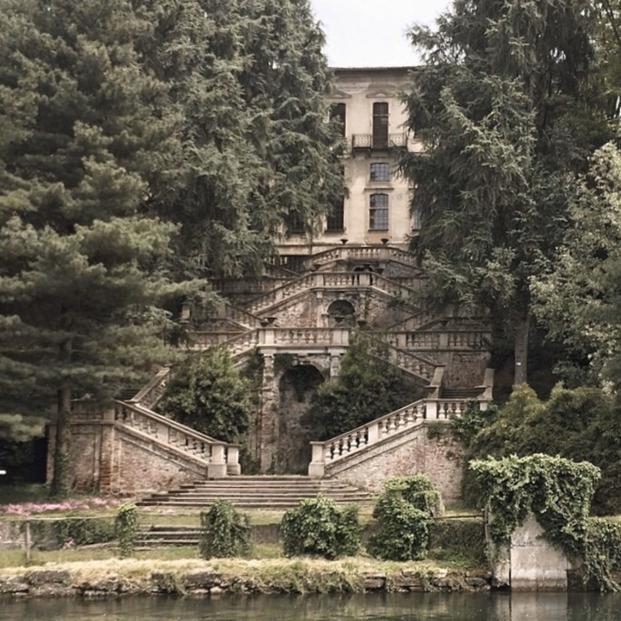


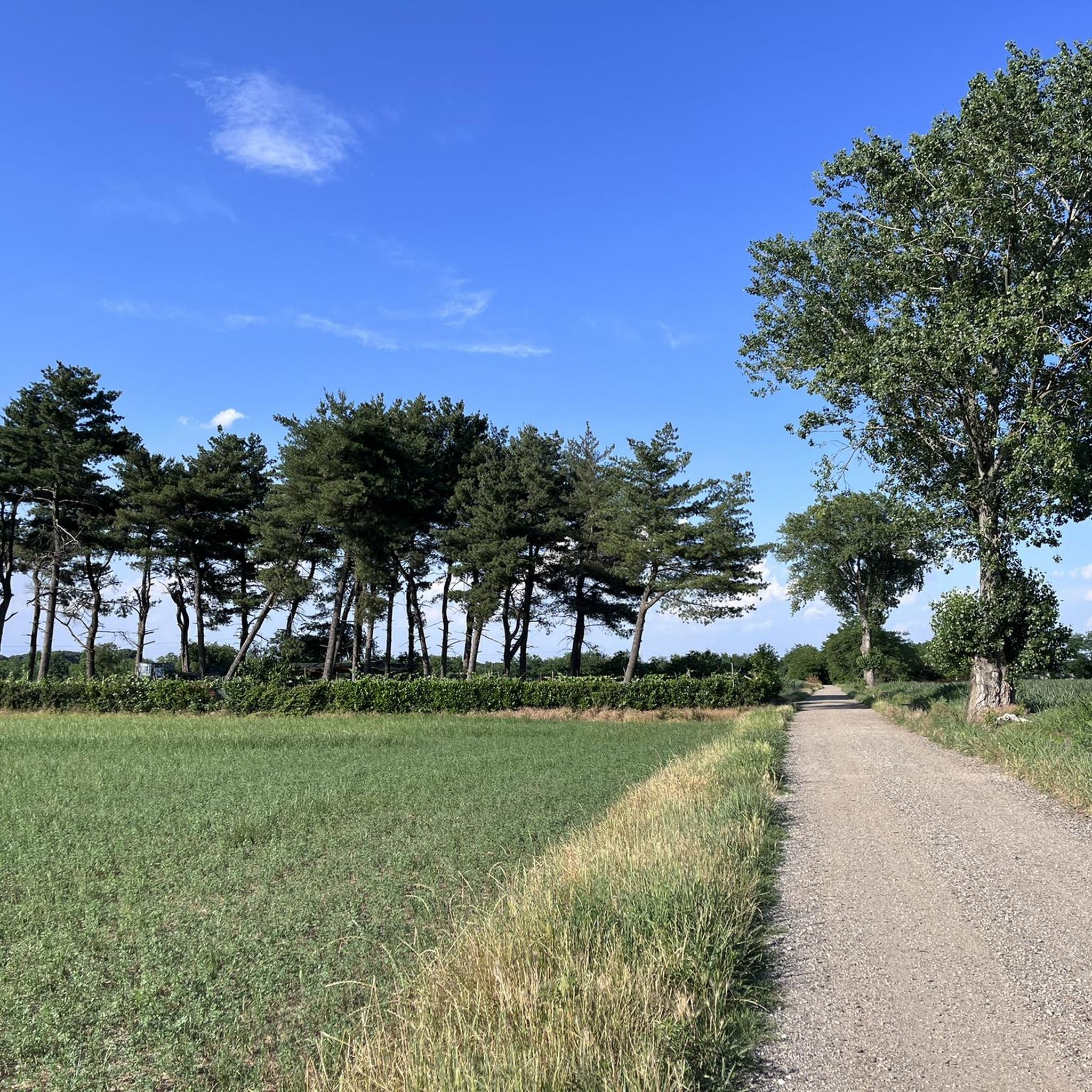
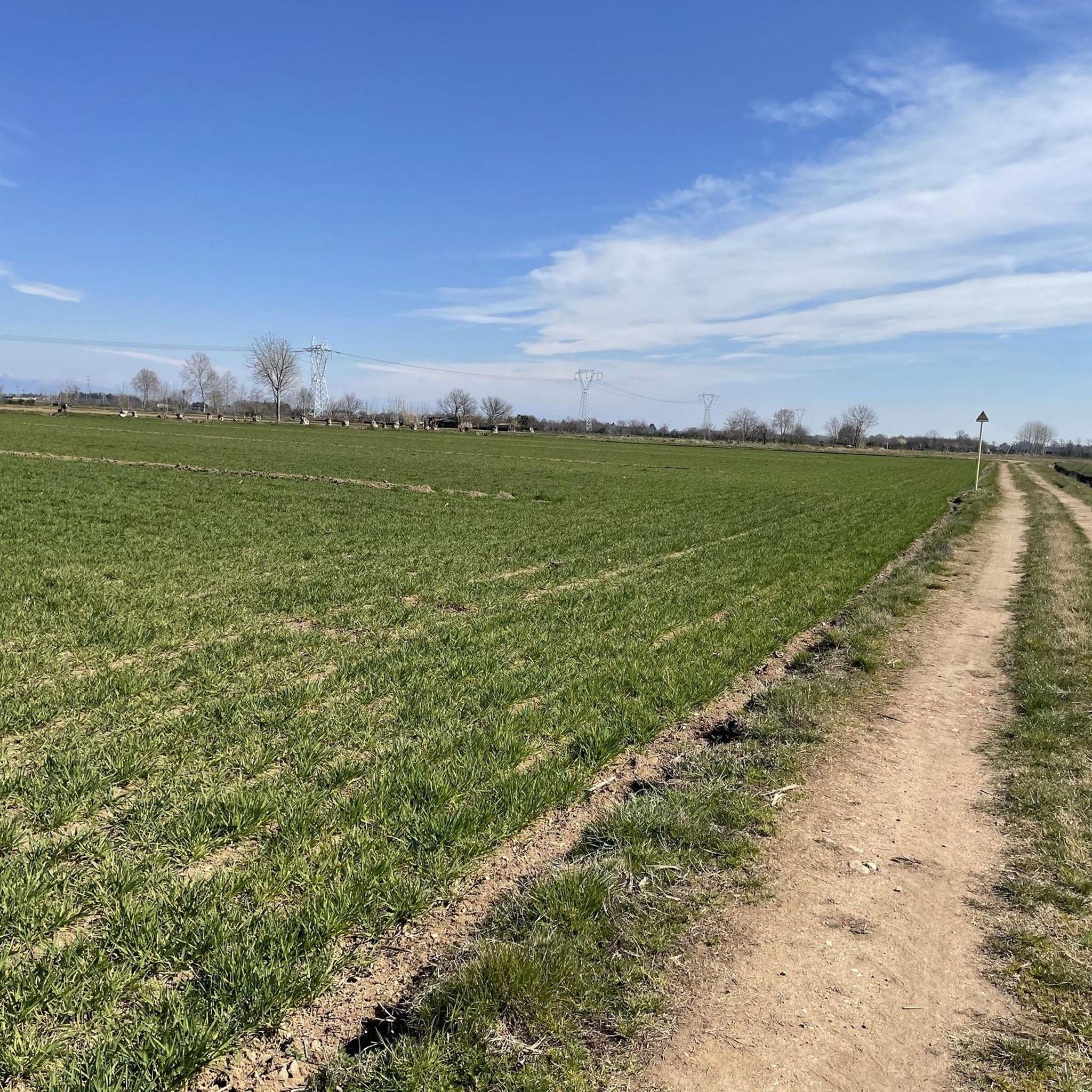
Tips from the Community

Is the bike path open? I knew it was closed for construction?
0
0

Apolitical Cultural Center, an extraordinary location, housed in a small, ancient deconsecrated church. A wide variety of initiatives are held here, including shows, conferences, debates, and more, all highly stimulating, never boring, and always engaging. Source: Wikipedia
0
0
the bridge allows safe access to the towpath
0
0
In 1960 the old bell tower, judged to be unsafe, was demolished, while the new tower was erected six years later based on a design by the architect Sirtori[2]; in 1972, with the territorial reorganisation of the archdiocese, the parish merged into the deanery of Legnano, and then into the Villoresi deanery of Parabiago. source Wikipedia
0
0
monument to the fallen and not far away the red bench against violence against women
0
0

Relaxing metabolic walk in the middle of nature, a route suitable for everyone
0
1

cute but very hot
0
0

Classic stop to cool off
0
0
Frequently Asked Questions
What kind of terrain can I expect on hiking trails around Inveruno?
The hiking trails around Inveruno are primarily located on the flat plains of Lombardy. You can expect generally level terrain with minimal elevation changes, often following canals, rivers like the Ticino, and passing through agricultural landscapes and small towns. This makes the area suitable for accessible walks.
Are there many easy hiking routes suitable for beginners in Inveruno?
Yes, Inveruno offers a good selection of easy hiking routes. Out of over 300 available tours, 162 are classified as easy. An example is the Canal – Villoresi Canal in Buscate loop from Arconate, which is 7.3 km long and takes about 1 hour 51 minutes.
What are some longer hiking options available in the Inveruno area?
For those looking for longer hikes, the area provides several moderate routes. The Via Francisca del Lucomagno - Ticino River Loop is a popular choice, covering 17.1 km and typically taking around 4 hours 21 minutes. Another option is the Bernate Ticino Wooden Footbridge – Giant bench loop from Cuggiono, which is 15.7 km long.
Are the hiking trails around Inveruno suitable for families with children?
Given the generally flat terrain and numerous easy routes, many trails around Inveruno are well-suited for families. The paths along canals and rivers offer pleasant, accessible walks without significant climbs, making them enjoyable for all ages. Look for routes marked as 'easy' for the most family-friendly options.
Can I bring my dog on the hiking trails in Inveruno?
Many of the trails in Inveruno, particularly those along canals and through agricultural areas, are generally dog-friendly. However, it's always advisable to keep your dog on a leash, especially when passing through cultivated fields or near livestock, and to check local regulations for specific areas or nature reserves.
What interesting landmarks or attractions can I see while hiking near Inveruno?
While hiking, you can encounter several notable points of interest. These include historical bridges such as the Boffalora Bridge on the Naviglio and the Castelletto Bridge on the Naviglio Grande. You might also pass by the elegant Villa Clerici of Castelletto di Cuggiono or the historic Church of Saint Mary in Binda.
Are there circular hiking routes available in Inveruno?
Yes, many of the hiking routes in Inveruno are designed as loops, allowing you to start and end at the same point. Examples include the Canal – Villoresi Canal in Buscate loop from Arconate and the Four Mouths – Canale Villoresi loop from Casorezzo, which is 11.2 km long.
What is the best time of year to go hiking in Inveruno?
The best time to hike in Inveruno is typically during spring and autumn when the weather is mild and pleasant. Spring brings blooming landscapes, while autumn offers comfortable temperatures and changing foliage. Summer can be warm, but riverside and canal paths often provide some shade. Winter hiking is possible, but check conditions as some paths might be muddy or less maintained.
What do other hikers enjoy most about the trails in Inveruno?
The hiking experience in Inveruno is highly regarded by the komoot community, with an average rating of 4.3 stars from over 600 reviews. Hikers often praise the peaceful canal paths, the scenic views along the Ticino River, and the accessibility of the routes, which are suitable for various fitness levels.
Is public transport available to reach hiking trailheads near Inveruno?
While Inveruno itself is a small town, public transport options like local buses connect it to larger hubs in Lombardy. For specific trailheads, it's recommended to check local bus schedules or regional train connections to nearby towns, as direct access to every starting point might require a short walk or taxi ride.
Are there any specific trails that offer views of the Ticino River?
Absolutely. The Via Francisca del Lucomagno - Ticino River Loop is an excellent choice for river views, as it directly follows the Ticino River, offering scenic perspectives of the waterway and its surroundings.
How many hiking routes are there in total around Inveruno?
There are over 300 hiking routes available around Inveruno, catering to a range of abilities. This includes 162 easy routes, 137 moderate routes, and a few more challenging options.
Most popular attractions around Inveruno

Get inspired with the komoot mobile app


Explore more
Browse the best Hikes in other regions.
