The best running trails around Pescantina
4.0
(20)
676
runners
40
runs
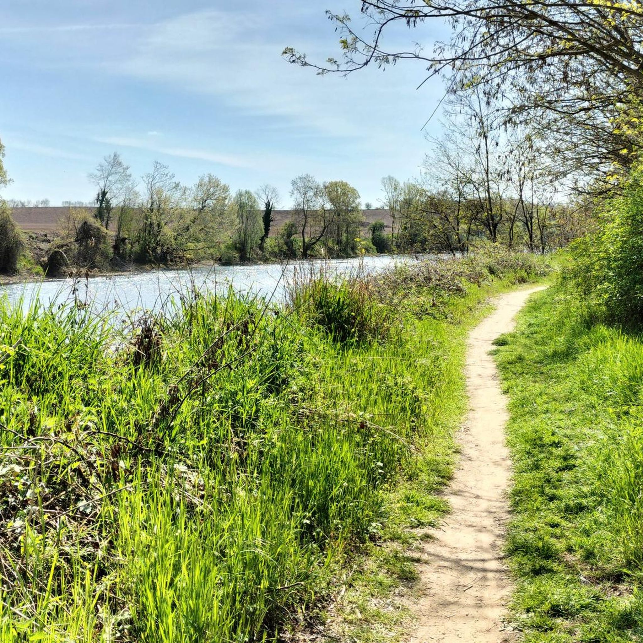
Jogging around Pescantina offers diverse running trails through a landscape shaped by the Adige River and the Valpolicella hills. The region, situated in Italy's Veneto, features paths along the river, cultivated vineyards, and peach orchards. This area provides a mix of flat, paved surfaces and routes with moderate elevation changes, suitable for various fitness levels.
Best jogging routes around Pescantina
- The most popular jogging route is Arcè loop from Pescantina, a 10.1 miles (16.2 km) trail that takes 1…
Last updated: October 16, 2026
4.5
(4)
141
runners
16.1km
01:45
80m
80m
Hard run. Very good fitness required. Mostly paved surfaces. Suitable for all skill levels.
2.5
(2)
87
runners
27.5km
02:57
110m
110m
Hard run. Very good fitness required. Mostly paved surfaces. Suitable for all skill levels.

45
runners
6.47km
00:43
40m
40m
Moderate run. Good fitness required. Mostly paved surfaces. Suitable for all skill levels.
5.0
(2)
20
runners
10.9km
01:09
60m
60m
Moderate run. Good fitness required. Mostly paved surfaces. Suitable for all skill levels.
14
runners
5.05km
00:34
30m
30m
Moderate run. Good fitness required. Mostly paved surfaces. Suitable for all skill levels.
Get access to more routes and recommendations from other explorers.
Already have an account?
Our route recommendations are based on thousands of hikes, rides, and runs completed by other people on komoot.
Start today with a free account
Your next adventure awaits.
Tips from the Community

visually not a highlight, but well suited for racking up kilometers to Verona without car traffic
1
0

Bar Al Solito Posto, with super service
0
0

Connection between the cycle path of the sun and the cycle path of the land of the forts. Route 46 of the cycle network of Valpolicella.
1
1

Castelvecchio, originally called the castle of San Martino in Aquaro, is a medieval fort located in the historic center of Verona and is the most important military monument of the Scaliger lordship.
9
0

Unveil the secrets of Verona by running around Porta San Zeno! Here, the medieval past merges with your athletic present. Whiz through hidden alleys and quiet squares, breathe in the authentic atmosphere of the neighborhood. Your ride becomes an urban exploration, each turn revealing a new view. Let the rhythm of your steps tell ancient stories, as you discover a Verona far from mass tourism.
1
0
Here is a captivating 300 character text on the Risorgimento Bridge in Verona: The Risorgimento Bridge, an elegant arch over the Adige, combines history and modernity in the heart of Verona. Its sinuous lines stand out against the sky, while the waters flow placidly below. By day, it is a lively crossroads; at night, illuminated, it becomes a magical vision. Symbol of progress and unity, it enchants residents and tourists, offering breathtaking views of the city of Verona.
0
1

The canal accompanies you for quite a long time towards Verona (over 40 km). For a stretch of 8 km it flows through tunnels. Cyclists have to go somewhere else.
2
0

Absolutely worth seeing ensemble with bridge and fortifications.
5
0
Frequently Asked Questions
How many running routes are available in Pescantina?
Pescantina offers a diverse selection of over 30 running routes. These trails cater to various preferences, from easy riverside paths to more challenging loops through the Valpolicella hills.
What types of terrain can I expect on the running trails around Pescantina?
The running trails around Pescantina feature a diverse landscape. You'll find paths along the Adige River, often with paved surfaces, as well as routes winding through the rolling Valpolicella hills, known for their vineyards and olive trees. The countryside also boasts charming peach orchards. Some routes, like the Biffis Canal loop, offer varied terrain suitable for different fitness levels.
Are there any easy or beginner-friendly running routes in Pescantina?
Yes, Pescantina offers several routes suitable for beginners or those looking for an easier run. Out of the available trails, 7 are classified as easy. These often include flatter sections along the Adige River, providing a pleasant experience without significant elevation changes.
Can I find circular running routes in Pescantina?
Absolutely. Many of Pescantina's running routes are designed as loops, allowing you to start and finish in the same location. Examples include the Arcè loop from Pescantina, the Chievo Dam – Catena Bridge loop, and the Biffis Canal loop, all offering varied distances and scenery.
What are some scenic highlights or points of interest along the running trails?
While running in Pescantina, you can enjoy views of the Adige River, the picturesque Valpolicella hills with their vineyards, and charming peach orchards. You might also encounter historical elements like centuries-old buildings around Piazza San Rocco, including the church of San Rocco. For broader natural beauty, the region's proximity to Lake Garda offers additional scenic opportunities.
Are the running routes in Pescantina suitable for families?
Many of the routes, particularly those with mostly paved surfaces and minimal elevation changes along the Adige River, can be suitable for families. Look for the 'easy' or 'moderate' difficulty ratings on komoot to find trails that align with your family's fitness level. The varied terrain and scenic views make for an enjoyable outing.
What do other runners enjoy most about jogging in Pescantina?
The running routes in Pescantina are highly rated by the komoot community, with an average score of 4.8 stars from 8 reviews. Runners often praise the diverse terrain, from riverside paths to hilly vineyard trails, and the beautiful scenery of the Valpolicella region and the Adige River. The variety of routes ensures there's something for every fitness level.
What is the best time of year to go running in Pescantina?
Pescantina offers pleasant running conditions for much of the year. Spring and autumn provide mild temperatures and vibrant landscapes, with blooming orchards or changing foliage. Summer can be warm, so early morning or late evening runs are advisable. Winter offers cooler, crisp air, and the trails along the Adige River are generally accessible.
Are there any running routes that follow the Adige River?
Yes, the Adige River is a central feature for running in Pescantina. Many routes, such as the Chievo Dam – Catena Bridge loop and the Adige loop from Pescantina, follow the river, offering pleasant paths and extensive riverside scenery. You'll often find towpaths that are great for a steady run.
How long are the running routes around Pescantina typically?
The running routes in Pescantina vary significantly in length. You can find shorter runs, like the Adige loop from Pescantina at about 4 miles (6.4 km), to much longer and more challenging trails such as the Chievo Dam – Catena Bridge loop, which is over 16 miles (25.9 km). This variety allows runners to choose a distance that suits their training or preference.
Are there running trails with significant elevation gain for a more challenging workout?
While many routes offer moderate elevation changes, some trails in Pescantina, particularly those venturing into the Valpolicella hills, can provide a more challenging workout. For instance, the Arcè loop from Pescantina is classified as difficult and includes some elevation gain, offering a good test for your fitness.
Most popular routes around Pescantina
Most popular attractions around Pescantina

Get inspired with the komoot mobile app


Explore more
Browse the best Running Trails & Routes in other regions.
