The best road cycling routes around Riomaggiore
4.3
(405)
6,701
riders
80
rides
Road cycling around Riomaggiore is characterized by a rugged coastline, terraced vineyards, and picturesque villages perched above the Ligurian Sea. The region presents a demanding cycling experience with significant elevation changes and steep climbs. Paved roads wind through Mediterranean scrub woods, offering panoramic views of the sea and the Cinque Terre villages. This landscape provides a challenging yet rewarding environment for road cyclists.
Best road cycling routes around Riomaggiore
- The most popular road cycling route is Riomaggiore and Manarola from…
Last updated: October 11, 2026
4.6
(26)
524
riders
51.0km
03:08
1,430m
1,430m
Hard road ride. Very good fitness required. Mostly well-paved surfaces and easy to ride.
5.0
(1)
47
riders
38.0km
02:28
1,180m
1,180m
Hard road ride. Very good fitness required. Mostly well-paved surfaces and easy to ride.

4.9
(27)
648
riders
74.4km
04:54
2,230m
2,230m
Hard road ride. Very good fitness required. Mostly well-paved surfaces and easy to ride.
4.4
(44)
309
riders
28.9km
01:28
420m
420m
Moderate road ride. Good fitness required. Mostly well-paved surfaces and easy to ride.
4.5
(17)
188
riders
57.5km
03:48
1,730m
1,730m
Hard road ride. Very good fitness required. Mostly well-paved surfaces and easy to ride.
Get access to more routes and recommendations from other explorers.
Already have an account?
Our route recommendations are based on thousands of hikes, rides, and runs completed by other people on komoot.
Start today with a free account
Your next adventure awaits.
Popular around Riomaggiore
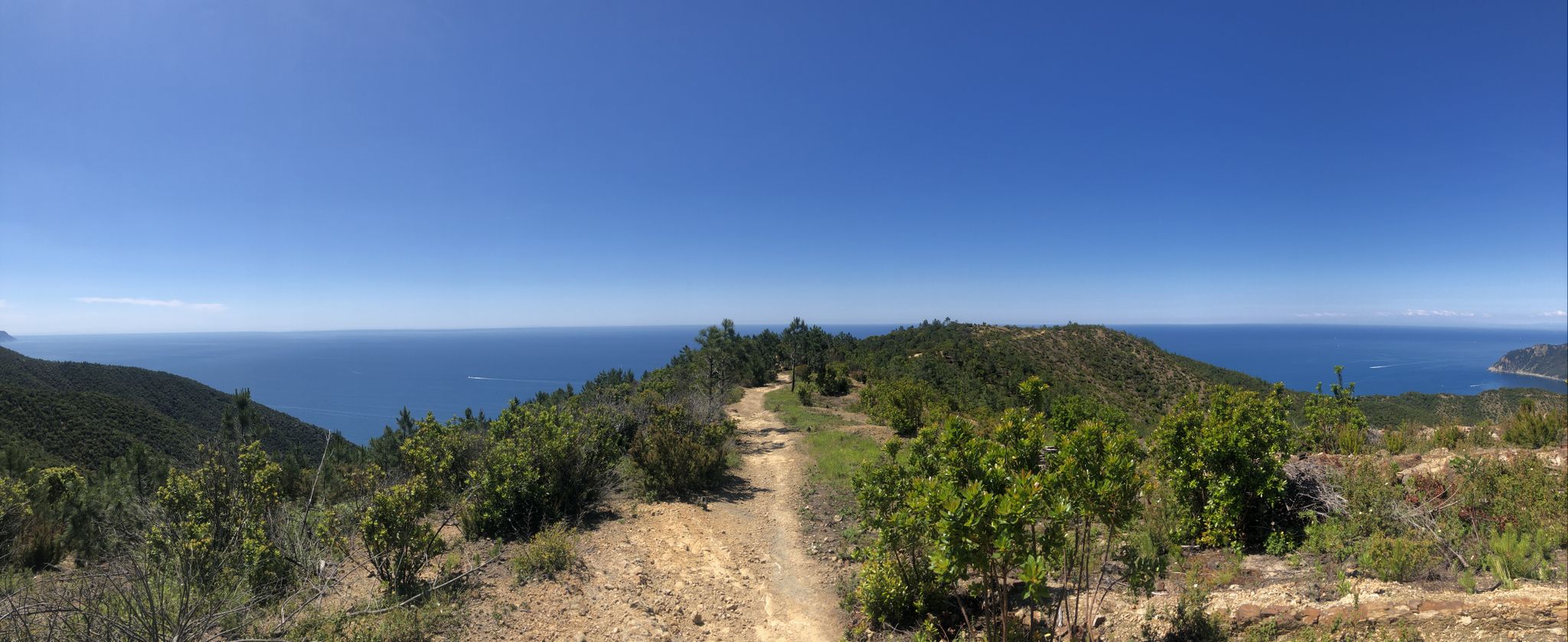
Via della Costa – A breathtaking hike along the Italian Riviera
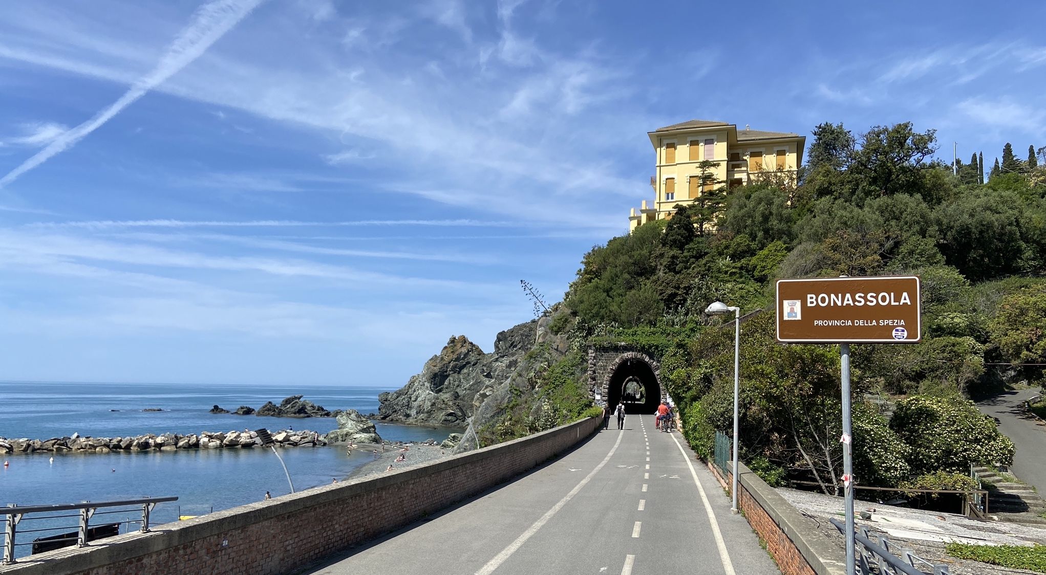
Pedalling to Portofino and the Cinque Terre — sea and mountains
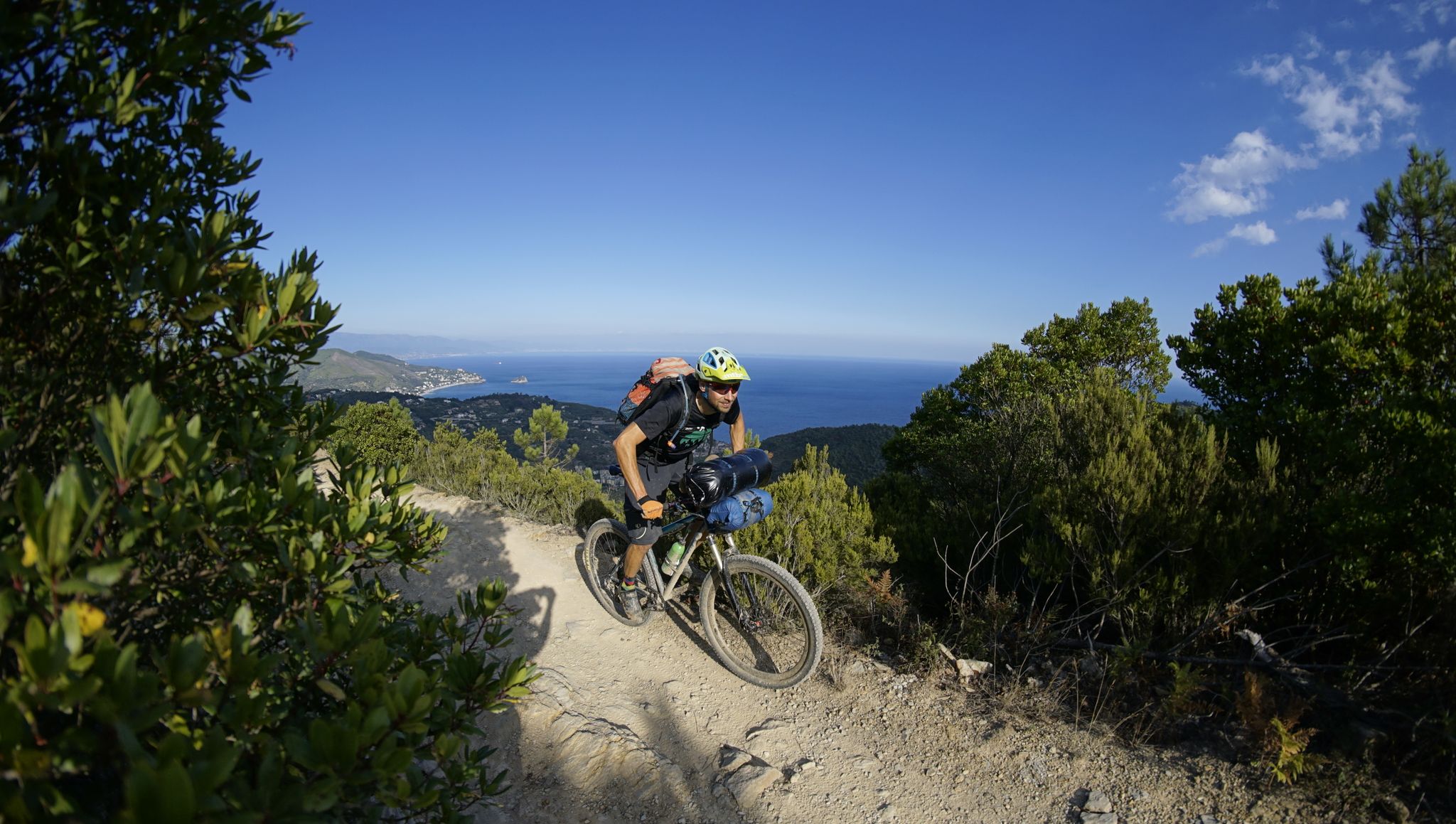
Alta Via Stage Race – Only the brave
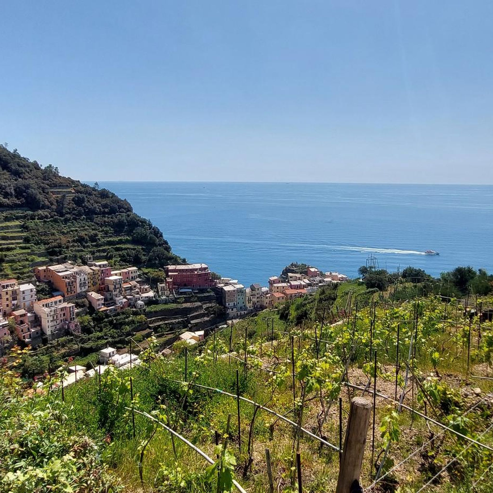
Hiking around Riomaggiore

Cycling around Riomaggiore

MTB Trails around Riomaggiore

Running Trails around Riomaggiore

Gravel biking around Riomaggiore
Other adventures around Riomaggiore


Tips from the Community

The main scenic coastal road in the Cinque Terre National Park is the Strada Provinciale 370 (SP 370), historically known as Litoranea delle Cinque Terre. Road Characteristics (SP 370) Route: Connects the town of La Spezia with the Chiesanuova area and the villages at altitude. Views: It runs along the mid-slope and at altitude, offering a spectacular sheer view of the sea and the terraced vineyards. Mobility: It is a road with little traffic compared to the low coast, ideal for travelling by car, motorcycle or bicycle. It has several lay-bys to admire the landscape
0
0
The city is located at the extreme east of the Liguria region, a few kilometers from the border with Tuscany, in the center of a deep natural gulf to which it gives its name. The gulf, also known as the Gulf of Poets for its beauty, is encircled by a continuous chain of heights whose highest peaks, Monte Verrugoli (749 m above sea level), Monte Parodi (673 m above sea level), Monte Santa Croce (543 m above sea level), and Monte Viseggi (347 m above sea level), located on the western side of the inhabited center, overlook the city of La Spezia. The municipal territory of Spezia is part of the interregional Magra river basin authority, while a small portion of the municipal territory, consisting of the small village of Tramonti and the surrounding hill, falls within the Cinque Terre National Park.
0
0
The various hamlets and villages that make up the municipality of Pignone are located in the valleys of the Pignone stream (a right tributary of the Vara river) and its tributary Casale, both minor valleys of the middle and lower Val di Vara. The territory is part of the Montemarcello-Magra-Vara Regional Natural Park.
0
0
The main panoramic coastal road in the Cinque Terre National Park is the Strada statale 370 Litoranea delle Cinque Terre, which connects La Spezia to Chiesanuova at altitude.
0
0
The Doria Castle is a fortress located on the rocky hill overlooking the fishing village of Portovenere, in the province of La Spezia. Considered one of the most majestic military architectures of the Republic of Genoa in the Ligurian Levante, it is reached by taking the road to the Castle.
0
0
The Cinque Terre are ancient fishing villages located along the rugged Italian coast. Each of these villages is characterized by colorful houses and vineyards clinging to the steep terraces carved into the coast. The harbors are crowded with fishing boats, and in the typical trattorias, you can try seafood specialties, as well as the famous Ligurian condiment: pesto. The Sentiero Azzurro, a hiking trail that runs along the coast, connects the Cinque Terre and offers splendid sea views.
0
0
Portovenere, Pòrtivéne (in Ligurian and in the local variant), is an Italian municipality of 3,127 inhabitants in the province of La Spezia in Liguria. It is the smallest municipality in the province of La Spezia by urban territorial extension.
0
0
The scenic climb from La Spezia towards the hamlet and pass of La Foce offers a constant gradient and a spectacular view of the port and the entire Gulf of Poets. Route Details Starting point: Junction with Via Brozzo / La Spezia. End point: Hamlet and pass of La Foce. Features: Constant gradient, excellent for road cycling or hiking (as the final stage of the Sentiero dei Poeti or the Anello del Monte Parodi). Views: Open view of the commercial port, the city, and the Gulf of Spezia. You can find maps and details on bike routes on Komoot or explore other itineraries in the area via the scenic trails of AllTrails.
0
0
Frequently Asked Questions
What is the general terrain like for road cycling around Riomaggiore?
Road cycling in the Riomaggiore area is characterized by a rugged coastline, terraced vineyards, and picturesque villages. You can expect significant elevation changes and steep climbs, offering a challenging yet rewarding experience. Routes often feature breathtaking panoramic views of the Ligurian Sea and the charming Cinque Terre villages.
Are there road cycling routes suitable for beginners in Riomaggiore?
While many routes around Riomaggiore feature challenging climbs, there are options for various ability levels. The guide lists 10 easy routes, though the region is generally known for its demanding terrain. For a less strenuous option, consider the scenic, flat 5.5 km bicycle path from Levanto to Framura, which follows old railway tracks along the sea and through tunnels.
How many road cycling routes are available in the Riomaggiore area?
There are over 70 road cycling routes available around Riomaggiore, catering to various difficulty levels. This includes 10 easy, 35 moderate, and 31 difficult routes, ensuring a diverse range of options for cyclists.
What do other road cyclists say about the routes in Riomaggiore?
The road cycling routes in Riomaggiore are highly rated by the komoot community, with an average score of 4.3 stars from over 300 reviews. Cyclists often praise the challenging climbs, the stunning coastal vistas, and the unique experience of riding through the terraced landscapes and charming villages of the Cinque Terre.
Are there any circular road cycling routes around Riomaggiore?
Yes, many of the road cycling routes around Riomaggiore are designed as loops. For example, the difficult route Riomaggiore and Manarola from La Spezia with return via Pignone – loop tour is a popular circular option connecting two Cinque Terre villages. Another is the La Spezia from Riomaggiore – loop tour, which offers substantial elevation gain and views of the Ligurian Sea.
What kind of views can I expect while road cycling in the Cinque Terre region?
Road cycling routes offer continuous panoramas of the five Cinque Terre villages and the dramatic coastline. You'll traverse landscapes transitioning from ancient terraced vineyards to Mediterranean scrub woods, with diverse vistas including olive groves, the deep blue sea, and colorful villages perched on cliffs. The View of Porto Venere and the island of Palmaria from Forte del Muzzerone is a particularly stunning viewpoint.
Are there any notable landmarks or attractions accessible by road bike near Riomaggiore?
Yes, several notable landmarks and attractions are within reach or visible from road cycling routes. The Madonna di Montenero Sanctuary, located above Riomaggiore, offers stunning views and can be a departure point for excursions. Other points of interest include the San Giorgio Castle and the Doria Castle, which provide historical context and scenic overlooks.
Is parking available for cyclists in Riomaggiore?
Riomaggiore itself has steep and narrow streets, making it less ideal for cars and parking. However, parking facilities are typically available in nearby larger towns like La Spezia, from where many cycling routes begin or are easily accessible. It's advisable to check specific parking options in advance if you plan to drive to the starting point of your ride.
Can I use public transport with my bike in the Cinque Terre area?
While the Cinque Terre villages are well-connected by train, transporting bikes on public transport, especially during peak season, can be restricted or challenging due to crowded conditions. It's best to check the specific rules and schedules of local train services regarding bike transport, as regulations can vary.
What is the best time of year for road biking in Riomaggiore?
The best time for road biking in Riomaggiore is generally during the spring (April-May) and autumn (September-October) months. During these periods, the weather is typically mild and pleasant, making the challenging climbs more enjoyable. Summer can be very hot and crowded, while winter might bring cooler temperatures and more unpredictable weather.
Are there any road cycling routes that offer views of the other Cinque Terre villages?
Absolutely. Many routes provide continuous views of the iconic Cinque Terre villages. For instance, the difficult route View of the Monterosso Coast (Cinque Terre) – Levanto Beach loop from Corniglia offers extensive views of the coastline and villages like Monterosso, Vernazza, Corniglia, Manarola, and Riomaggiore itself, appearing like colorful jewels against the rugged cliffs.
Are there any routes that take me through the terraced vineyards?
Yes, the road cycling routes in the region often traverse landscapes that include the ancient terraced vineyards. These unique landscapes, supported by dry-stone walls, are a testament to human ingenuity and offer a distinctive visual element to your rides, particularly in the areas above the villages.
Most popular attractions around Riomaggiore

Get inspired with the komoot mobile app


Explore more
Browse the best Road cycling routes in other regions.
