The best running trails around Tambre
5.0
(2)
481
runners
38
runs
Jogging around Tambre offers diverse terrain within the picturesque Alpago basin, situated at the foot of Mount Guslon. The region is characterized by the expansive Cansiglio Forest, featuring thousands of hectares of beech, silver fir, and spruce trees, providing numerous trails. To the south, the serene Lake Santa Croce offers flatter, lakeside paths. The surrounding hilly and mountainous landscape, including Cavallo Mount, provides options for more strenuous running with significant elevation changes.
Best jogging routes around Tambre
- The most popular…
Last updated: October 8, 2026
45
runners
Hard run. Good fitness required. Sure-footedness, sturdy shoes and alpine experience required.
66
runners
26.1km
03:27
570m
570m
Hard run. Very good fitness required. Sure-footedness, sturdy shoes and alpine experience required.

36
runners
Hard run. Very good fitness required. Sure-footedness, sturdy shoes and alpine experience required.
38
runners
14.2km
01:32
240m
240m
Moderate run. Good fitness required. Mostly paved surfaces. Suitable for all skill levels.
36
runners
11.9km
01:19
240m
240m
Moderate run. Good fitness required. Mostly paved surfaces. Suitable for all skill levels.
Get access to more routes and recommendations from other explorers.
Already have an account?
Our route recommendations are based on thousands of hikes, rides, and runs completed by other people on komoot.
Start today with a free account
Your next adventure awaits.
Popular around Tambre

A trail running adventure in the Dolomites – Alta Via 6
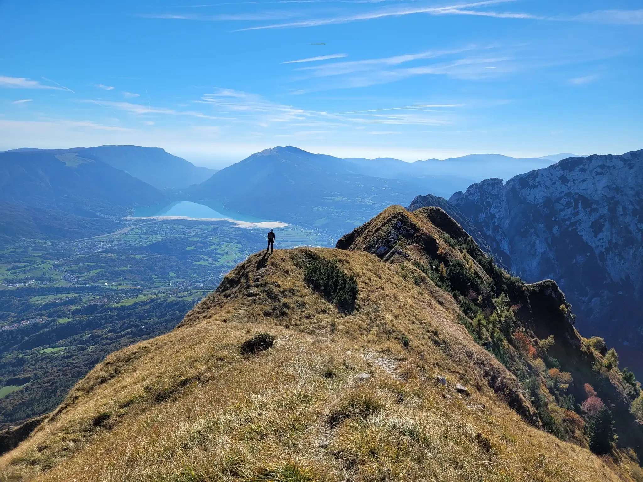
A fairytale hike in Italy’s Pale Mountains – Alta Via delle Dolomiti 7

Via delle Prealpi – On the way with the MTB in the Venetian Prealps
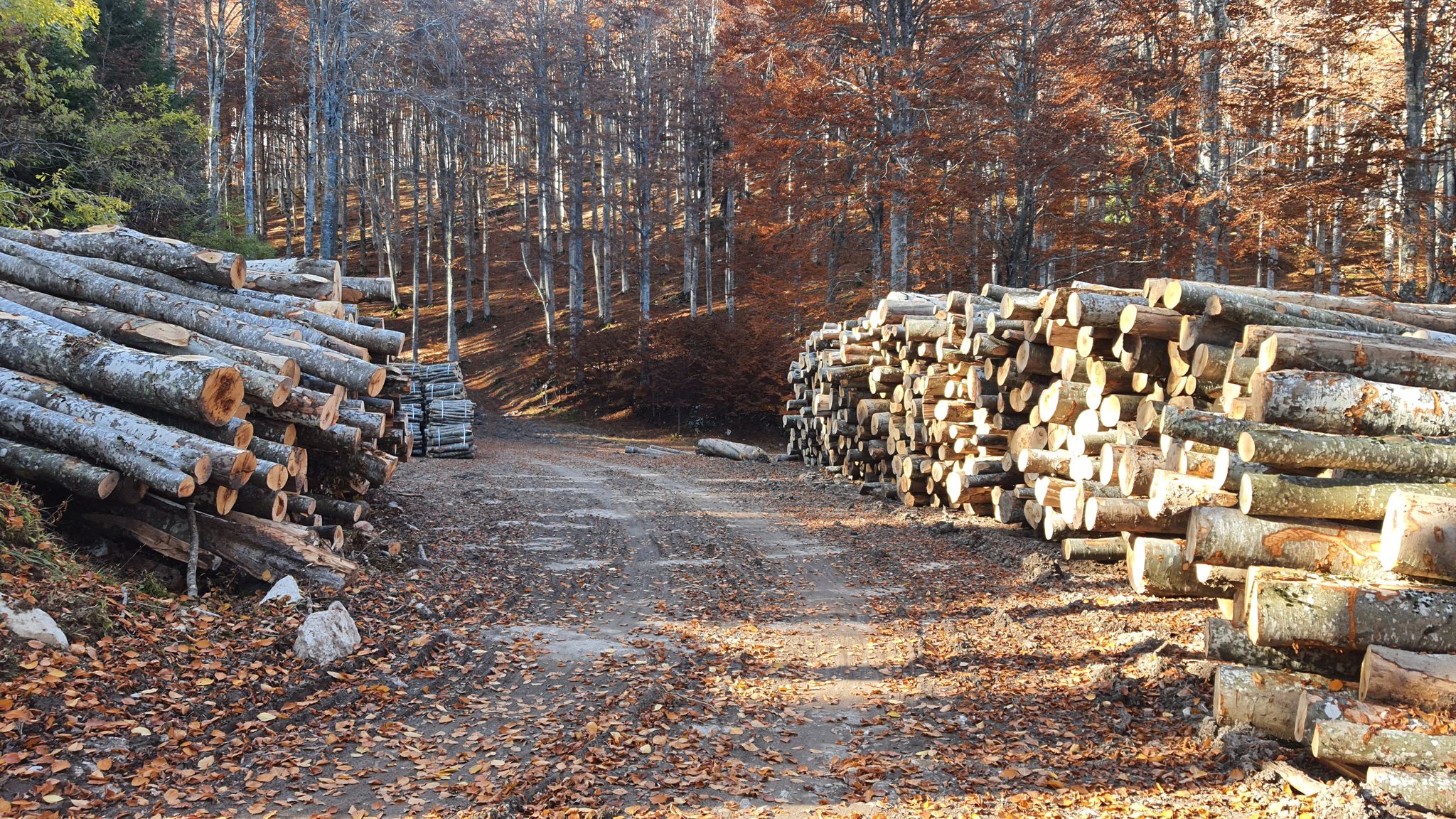
Between dirt roads and forests – Grande Anello Bellunese in Italy
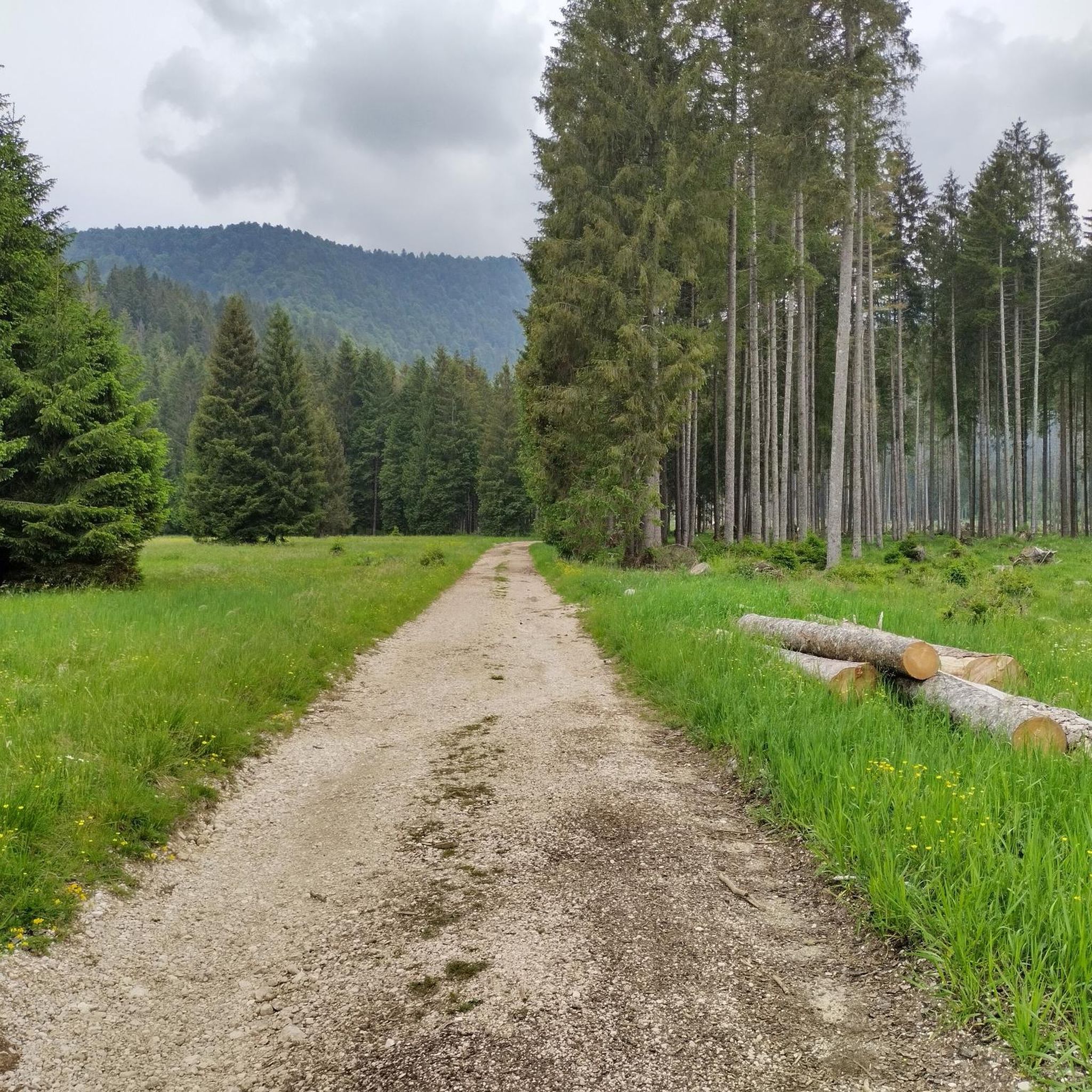
Hiking around Tambre
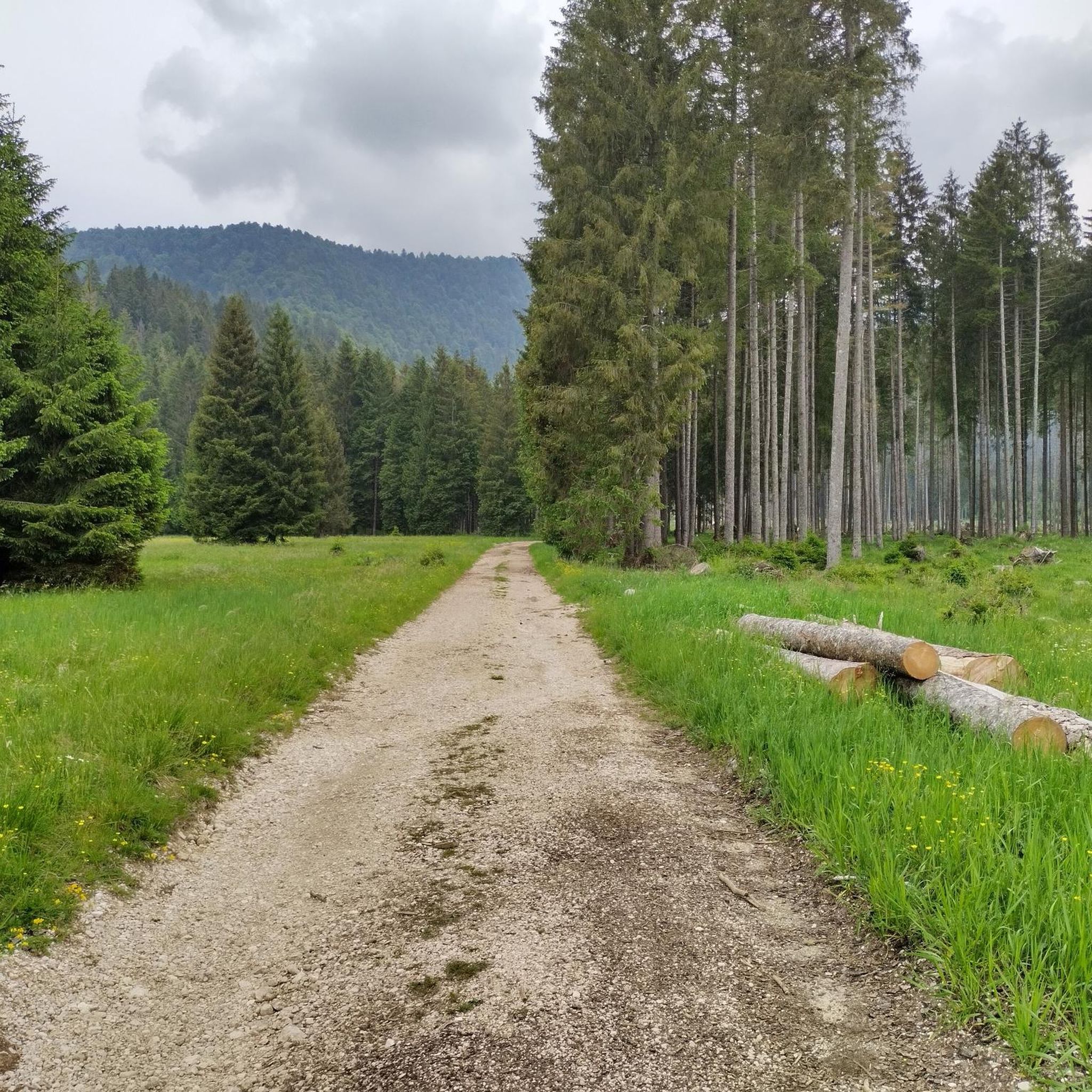
MTB Trails around Tambre

Gravel biking around Tambre
Cycling around Tambre
Road Cycling Routes around Tambre

Mountain Hikes around Tambre
Other adventures around Tambre


Tips from the Community

Its history intertwines nature, folklore, and wartime events: 1. The formation and legend of "will-o'-the-wisps" The name Bus de la Lum derives from a mysterious phenomenon that for centuries fueled legends and popular tales. The folklore: Shepherds and locals told of strange little flames or bluish glows that danced above the cave entrance during summer nights. Popular belief attributed these lights to the presence of witches (eàne or anguane) or restless spirits. The scientific explanation: In reality, the cave had been used since time immemorial to dispose of the carcasses of animals that died on the plateau's farms. The decomposition of organic matter generated methane and hydrogen phosphide gases which, upon contact with air, produced small and harmless will-o'-the-wisps. 2. The events of the Second World War Between 1943 and 1945, the Cansiglio Plain was a strategic stronghold of the Italian Resistance, garrisoned by partisans of the "Garibaldi" Brigade (and other local formations) against the Nazi-Fascist occupying forces. During the harshest phases of the conflict and in the dramatic months of roundups and executions at the end of the war, the Bus de la Lum was used as a natural mass grave. The bodies of German soldiers, fascists, and Republicans captured in combat or roundups, as well as civilians accused of collaborationism or espionage, were thrown into the chasm. In the post-war period, amidst explorations and speleological recoveries, the cavity was the subject of heated historiographical and political debates regarding the precise number and identities of the people who fell into the well. 3. The site today Today the Bus de la Lum is recognized as a place of memory. The entrance to the abyss is protected and fenced for safety reasons, flanked by a large metal cross and a plaque in memory of all the nameless fallen.
0
0

The Pian del Cansiglio is a vast plateau located in the Belluno Prealps at an altitude between 900 and 1,200 meters above sea level. It extends across the Veneto region (provinces of Belluno and Treviso) and Friuli-Venezia Giulia (province of Pordenone). Its famous and immense forest – composed mainly of beech and Norway spruce – is considered one of the largest and most fascinating in Italy, historically known as the "Bosco della Serenissima" because the Republic of Venice drew timber from it for the oars of its ships.
0
0

The Cansiglio Forest hides a myriad of sinkholes, pits, and swallow holes of all sizes, due to the karst morphology of the territory: the rain dissolves the limestone rock, slowly but inexorably forming these natural chasms and fissures on the ground. The Bus de la Lum is an abyss characterized by a single large vertical entrance shaft 180m high, which then develops into a very large and articulated underground complex. The depth of the shaft is best appreciated out of season, because in summer the lush vegetation tends to partially obscure the view. According to ancient beliefs, it is the dwelling of the Anguane or Anduane, fierce and evil witches, toothless, with long rusty nails instead of hair and sharp fangs, who kidnapped and ate children! They gathered at the bottom of the cave, lighting fires, whose glows rose to the surface, visible at night to the shepherds of the area: hence the name 'Buco della Luce' (Hole of Light). In reality, the legend has a grain of truth: on hot summer nights, will-o'-the-wisps could indeed be formed by the decomposing carcasses of livestock dead from illness, which it was customary to throw into the Buso. During World War II, the cavity was sadly used by partisans as a foiba, to dispose of the bodies of fascists and nazis, but also of civilians: over the years, several bodies and bones have been found during explorations. https://it.wikipedia.org/wiki/Bus_de_la_Lum
0
0
The Cimbri population, of Germanic origin, settled in the Venetian mountains as early as the Middle Ages, also reaching the Asiago Plateau. Between the late 18th and 19th centuries, some families moved from here to Cansiglio, attracted by the great availability of timber and the job opportunities offered by the forest. The Cimbri were indeed skilled woodcutters and artisans. Thus, several small settlements were born, including Vallorch, founded in 1850. It is today the best-preserved and reconstructed village, after having been destroyed during both the First and Second World Wars, and it preserves the characteristic wooden houses with typical Nordic architecture. https://it.wikipedia.org/wiki/Vallorch
0
0

The Chapel of San Floriano, located at an altitude of 1,176 meters on the Cadolten karst plateau, is a small and evocative sacred building nestled among the pastures and woods of Cansiglio. This small church, reachable through pleasant hikes starting from Passo della Crosetta or Monte Pizzoc, represents a precious testimony to the area's historical pastoral vocation and the deep religiosity that once bound the shepherds to the territory during the alpine grazing period. The building is dedicated to Saint Florian, traditionally invoked as a protector against fires. This devotion was fundamental for the local shepherds, whose huts ('casere') and dwellings ('casoni'), characterized by wooden and reed roofs, were extremely vulnerable to fire. Today, the chapel is a beloved destination for hikers and cyclists seeking peace, nature, and historical memory.
1
0

Malga Valmenera is a farm-holiday facility located on the edge of the Piano di Valmenera, one of the three depressions that make up the central part of the Cansiglio Plateau. It occupies part of the western slopes and is surrounded by 74 hectares of meadows used for grazing its own livestock. The malga is open on weekends between September and June, while it remains open every day during July and August. It offers catering services with specialties of the Cimbra cuisine (beef stew, Alpago lamb bake, spit-roasted meat, pastin and grilled cheeses) and products of its own production (cheeses and cured meats). There are also 16 beds available in 7 single or double rooms with private bathrooms. Completely rebuilt in 2017 and transformed into a modern structure, it is owned by Veneto Agricoltura.
0
0
Together with Pian Cansiglio and Cornesega, Valmenera is one of the three depressions that make up the central part of the Cansiglio Plateau. The largest in terms of area. This evocative basin is particularly known for its cold microclimate, where record thermal inversions are recorded with temperatures that, in the winter months, can drop to extreme levels. A historical peak was reached in March 2005, when ARPA Veneto analyses recorded a temperature of -35.4°C. Located in the municipal territory of Tambre (BL), it has a wide and flat bottom, called Piano di Valmenera. It represents a typical polje, whose slopes are largely covered by arboreal vegetation; the western slopes, on the other hand, are characterized by meadows, with rather degraded herbaceous vegetation, due to exploitation in the form of mowing and grazing. The dairy farm of the same name, which today operates as a farm stay, is in fact surrounded by 74 hectares of meadows used for grazing its own livestock. Up to here, through the Campon valley, came a tongue of the ancient and vast Piave Glacier. The Piano di Valmenera and part of the basin are part of the "Pian di Landro-Baldassarre" Oriented Nature Reserve.
3
0

Part of the itinerary towards Valmanera in winter.
0
0
Frequently Asked Questions
How many running routes are available in Tambre?
There are over 30 dedicated jogging routes around Tambre. These routes offer a diverse range of experiences, from gentle lakeside paths to challenging mountain trails, catering to various fitness levels.
What kind of terrain can I expect on the jogging trails around Tambre?
Jogging around Tambre offers diverse terrain within the picturesque Alpago basin. You'll find numerous trails through the expansive Cansiglio Forest, featuring thousands of hectares of beech, silver fir, and spruce trees. To the south, the serene Lake Santa Croce provides flatter, lakeside paths. The surrounding hilly and mountainous landscape, including Cavallo Mount, offers options for more strenuous running with significant elevation changes.
Are there options for beginner runners in Tambre?
Yes, Tambre offers routes suitable for beginners. While many trails are moderate to difficult, there is at least one easy route available. These easier paths often follow the flatter terrain around Lake Santa Croce, providing a gentle introduction to running in the region.
What do other runners say about the trails in Tambre?
The running routes in Tambre are highly rated by the komoot community, with an average score of 5.0 stars from 1 review. Runners often praise the diverse terrain, from ancient forests to challenging mountain paths, and the well-maintained network of trails.
Are there any circular jogging routes in Tambre?
Yes, many of the running routes in Tambre are designed as loops, allowing you to start and finish at the same point. For example, the Panoramic View – Cansiglio Forest Road loop from Tambre is a popular circular option that takes you through varied scenery.
Are there any points of interest or landmarks along the running routes?
While the primary attractions are the natural landscapes, you can incorporate interesting points into your run. For instance, the View of the Pian del Cansiglio – Vallorch Cimbrian Village loop from Capanna Genziana takes you past the historic Vallorch Cimbrian Village, offering a cultural highlight amidst your exercise. Additionally, the region features various mountain passes like Zoppei Pass and Fadalto Pass, which can be scenic waypoints on longer, more challenging runs.
Can I find running routes with parking access in Tambre?
Many running routes in Tambre are accessible by car and offer convenient parking options. Routes often start from well-known points like Capanna Genziana or Area Wilderness Pian de le Stele, where parking is typically available, making it easy to begin your run.
Are there any moderate difficulty running trails in Tambre?
Yes, Tambre offers a good selection of moderate difficulty running trails. There are 13 moderate routes available, providing a balance between challenge and accessibility. An example is the Panoramic View – Cansiglio Forest Road loop from Pian dell'Osteria, which offers a rewarding experience without being overly strenuous.
What are some of the more challenging running routes in the Tambre area?
For experienced runners seeking a challenge, Tambre has 19 difficult routes. These often involve significant elevation changes and longer distances. The Candaglia Forest Road – Valmenera loop from Capanna Genziana is a notable difficult route, traversing forest roads and valleys over 16 miles.
Is it possible to spot wildlife while running in Tambre?
Given the extensive natural areas like the Cansiglio Forest and protected landscapes, there are opportunities for wildlife spotting. Keep an eye out for local fauna, especially during quieter times of the day. The pristine environment of the Alpago basin supports diverse ecosystems.
Are there any running routes near Lake Santa Croce?
Yes, the southern part of the Tambre region features the serene Lake Santa Croce, which offers flatter, lakeside paths. These routes are ideal for those seeking less strenuous runs with beautiful water views, providing a different experience from the forest and mountain trails.
Most popular attractions around Tambre

Get inspired with the komoot mobile app


Explore more
Browse the best Running Trails & Routes in other regions.
