The best road cycling routes around Campodarsego
4.2
(430)
13,007
riders
10
rides
Road cycling routes around Campodarsego are situated in the Veneto region of Italy, characterized by a predominantly flat to gently rolling landscape. The area features an extensive network of quiet roads and dedicated cycleways, often following the courses of rivers such as the Muson dei Sassi and Tergola. This terrain provides varied options for road cyclists, blending rural scenery with historical points of interest.
Best road cycling routes around Campodarsego
- The most popular road cycling route is From Campodarsego towards…
Last updated: October 8, 2026
5.0
(1)
17
riders
Moderate road ride. Good fitness required. Mostly well-paved surfaces and easy to ride.
4.0
(2)
49
riders
49.9km
01:58
70m
70m
Moderate road ride. Great for any fitness level. Some segments of this route may be unpaved and difficult to ride.

42
riders
Moderate road ride. Good fitness required. Mostly well-paved surfaces and easy to ride.
5.0
(1)
19
riders
75.3km
02:59
240m
240m
Moderate road ride. Good fitness required. Mostly well-paved surfaces and easy to ride.
12
riders
95.3km
04:08
140m
140m
Moderate road ride. Good fitness required. Some segments of this route may be unpaved and difficult to ride.
Get access to more routes and recommendations from other explorers.
Already have an account?
Our route recommendations are based on thousands of hikes, rides, and runs completed by other people on komoot.
Start today with a free account
Your next adventure awaits.
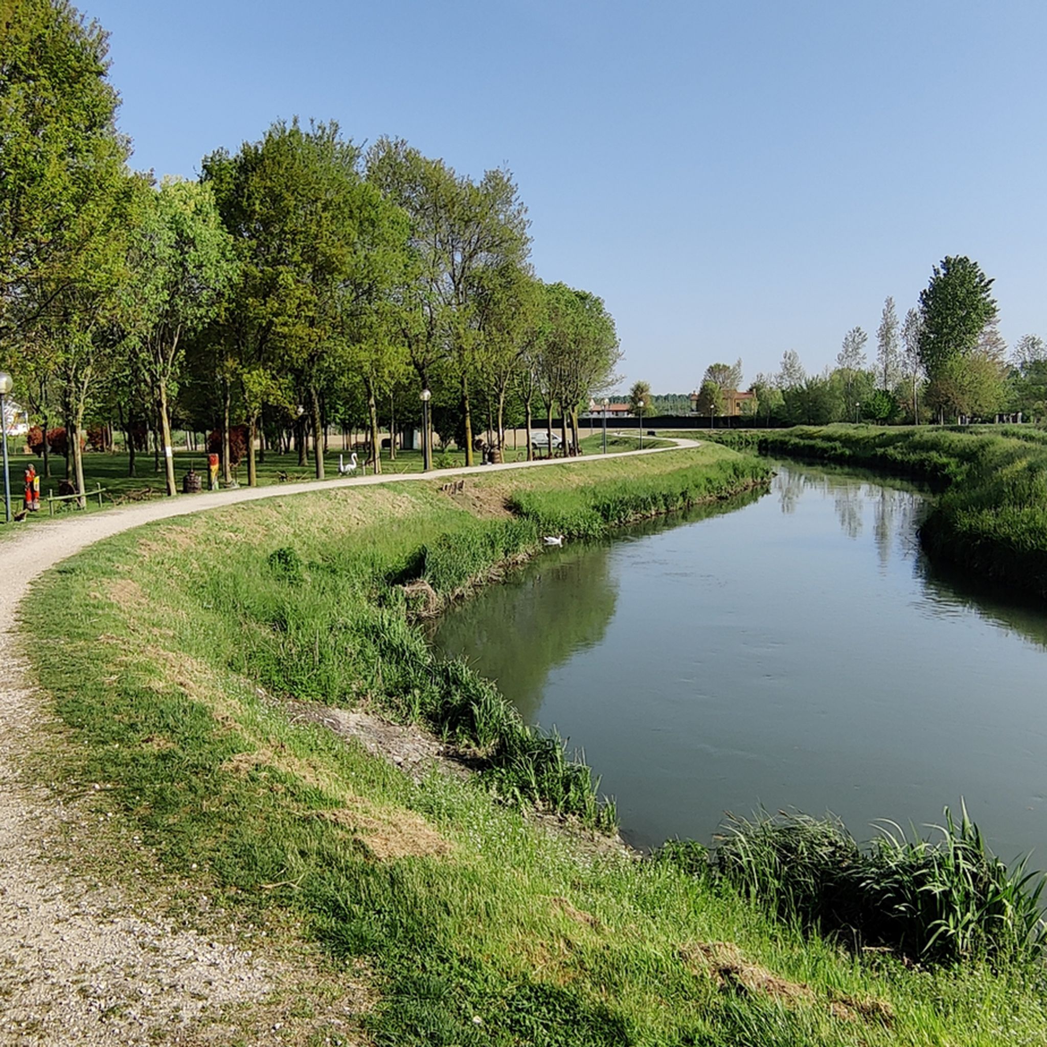
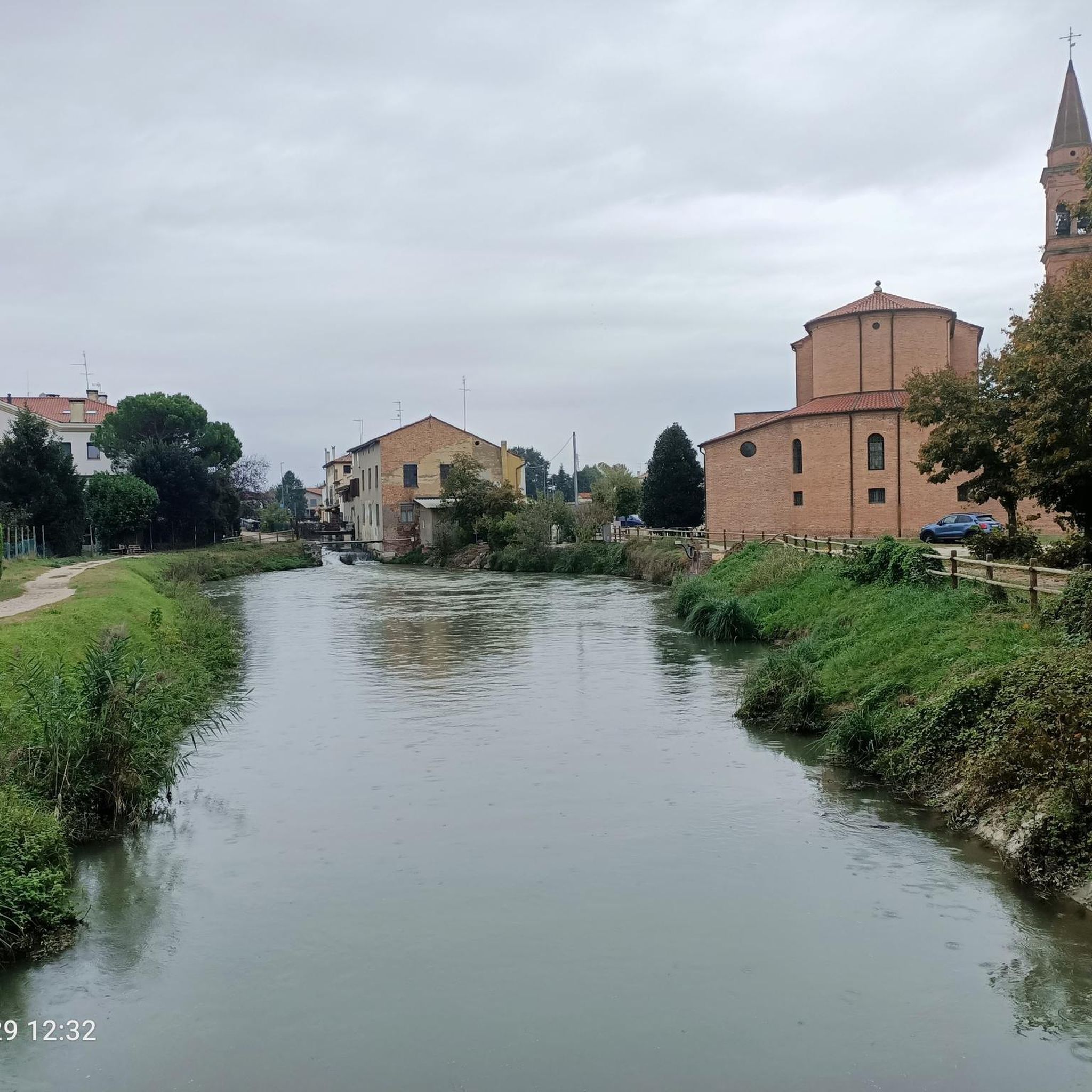

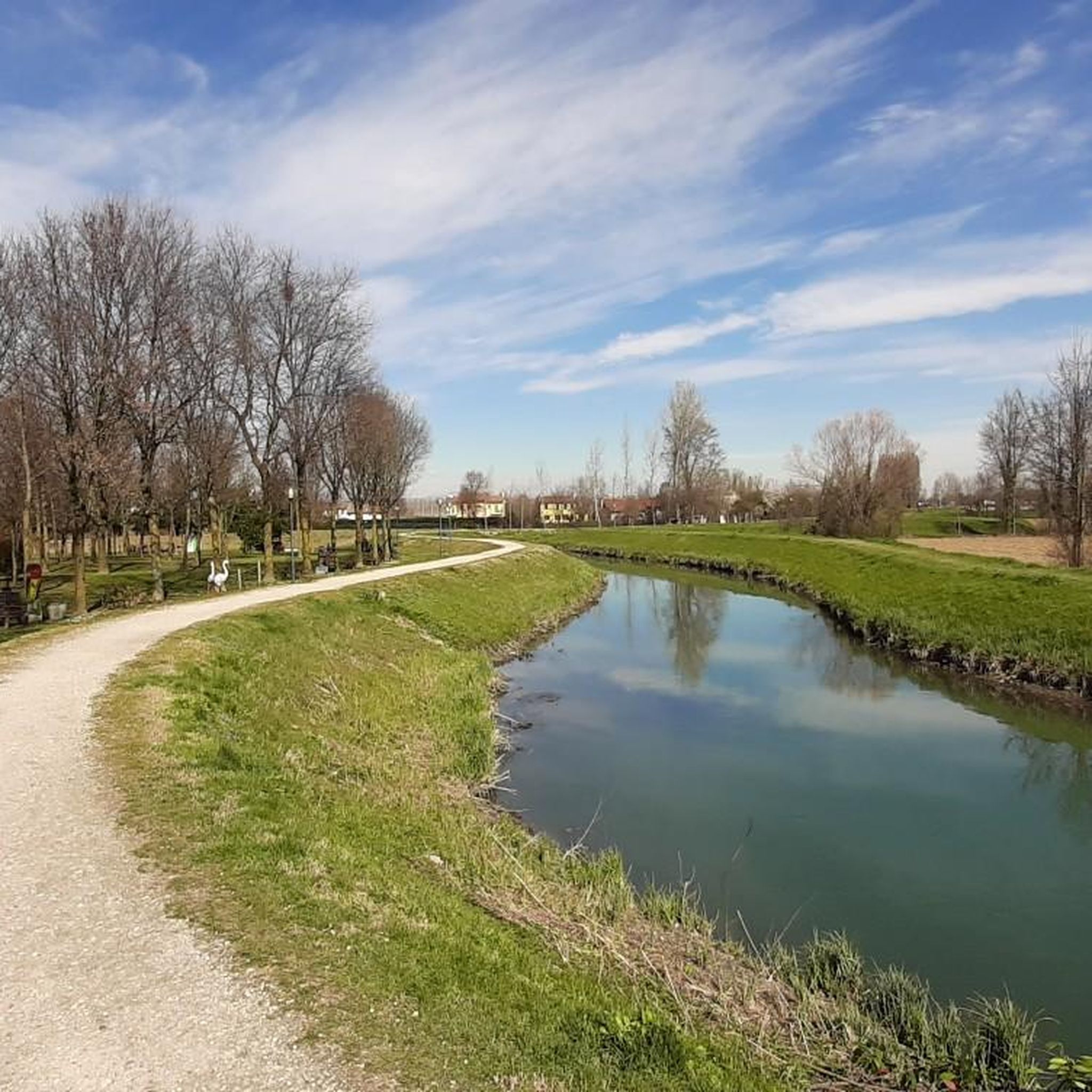
Tips from the Community

The clock tower was built in the early decades of the 19th century during the arrangement of the English-style park, therefore at a later date than the rest of the Villa Pisani complex. Square in plan, it is distinguished by the portico with Doric columns and its three-plus-level structure.
1
0

Monastery belonging to the nearby Abbey of Praglia, a mystical place that does not leave one indifferent
1
0

The Il Mulino Todori (formerly Pamio) stands between the localities of Contea and Canove. The existence of a mill in this area has been known since 1455. Run by as many as three families, all belonging to the Todori branch of the Pamio family, it had three millstones: for maize, for wheat, and for the waste of corn and cobs. The mill was subsequently rebuilt by the noble Soranzo family, who created the adjoining manor house with the architectural characteristics typical of Venetian villas, of which the central trifora can still be identified. The milling activity definitively ceased in the early 1960s. The mill, today privately owned, is located within the Oasi Todori, a municipal green area inaugurated in 201. Characterized by high biodiversity, it currently occupies an area of 2.5 hectares as a refuge and protection area for various species of flora and fauna, including woodpecker, swallow, robin, blackbird, sparrow, finch, water rail. Among the tree species are field maple, hornbeam, poplar, willow, elder, and dogwood.
1
0

It is one of the most challenging climbs in the Euganean Hills. Monte della Madonna da Teolo is a climb located in the Padova region. It has a length of 4.2 km, an elevation gain of 362 m, and an average gradient of 8.6%. The highest point is at 522 m above sea level. After Monte Venda (601 m) it is the second highest point in the Euganean Hills.
1
0

Il Mulino Todari, located in Scorzè along the Dese river, is a striking example of industrial archaeology and Venetian rural history. Dating back to the 16th century, it testifies to the importance of cereal grinding for the past local economy. Today, nestled in a protected natural area, the site is a beloved destination for walks and cycle tourism. Its well-preserved structure evokes the ancestral bond between man and water, fitting perfectly into the landscape of the "Mulini del Dese".
1
0

It is part of the cycle network that runs alongside the Brenta and other rivers in the direction of Venice or towards the mouth of the Brenta
2
0

The Sanctuary of the Madonna del Monte, dedicated to the Blessed Virgin of the Assumption, is located atop the second highest hill in the Euganean Hills, near the towns of Rovolon and Teolo.
1
0

Frequently Asked Questions
How many road cycling routes are available around Campodarsego?
Campodarsego offers a diverse network of over 10 road cycling routes, catering to various distances and preferences. These routes are highly rated by the komoot community, providing ample opportunities to explore the region.
What kind of terrain can I expect on road cycling routes in Campodarsego?
The terrain around Campodarsego is predominantly flat to gently rolling, making it accessible for various skill levels. You'll find routes utilizing a combination of quiet roads and dedicated cycleways, often following picturesque river courses. Some routes, particularly those extending towards the Euganean Hills, offer more challenging climbs, such as the Ascent to Monte della Madonna – Villa–Teolo Scenic Climb loop from Campodarsego.
Are there any easy or beginner-friendly road cycling routes in the area?
Yes, Campodarsego has several easy routes perfect for beginners or those seeking a relaxed ride. These routes typically follow flat terrain along rivers, offering serene natural settings. While specific easy routes are not detailed here, the region's overall flat landscape provides many gentle options.
What are some more challenging road cycling routes around Campodarsego?
For cyclists looking for a challenge, routes that venture into the Euganean Hills offer significant elevation gain. For instance, the Teolo – Castelnuovo Junction – Ascent to Monte della Madonna loop from Campodarsego is a moderate route with notable climbs, leading through the scenic Euganean Hills area.
Can I find circular road cycling routes in Campodarsego?
Yes, many road cycling routes in Campodarsego are designed as loops, allowing you to start and finish in the same location. A popular example is the From Campodarsego towards Piombino Dese and Cittadella along the Brenta – loop tour, which follows the Brenta river.
What natural features or landscapes will I encounter while cycling?
The region is characterized by its rural territory and several rivers, including the Muson dei Sassi, Tergola, and Lusore, which provide picturesque routes. You'll cycle through serene natural settings, often alongside riverbanks, and may encounter lush natural corners and even outdoor art installations. The historic 'Bosco del Vescovo' (Bishop's Wood) also adds to the natural appeal.
Are there historical or cultural points of interest along the routes?
Absolutely! Campodarsego's routes are dotted with cultural and historical points. You can discover numerous votive shrines (Capitelli) at road intersections, and admire historic villas such as Villa Mattiazzo Gelmi Bano or Villa Aghito Maschio. The main road, Strada del Santo, follows the ancient Roman via Aurelia, highlighting the region's long history. You might also pass by significant landmarks like Stigliano Castle or the grand Villa Pisani, Stra on longer routes.
What is the best time of year for road cycling in Campodarsego?
The Veneto region, where Campodarsego is located, generally offers pleasant cycling conditions from spring through early autumn. Spring (April-May) and autumn (September-October) are often ideal, with milder temperatures and beautiful scenery. Summers can be warm, but early mornings or late afternoons still provide good cycling opportunities.
Are the road cycling routes in Campodarsego suitable for families?
Yes, the predominantly flat terrain and dedicated cycleways make many routes around Campodarsego suitable for families. The serene river paths, in particular, offer a safe and enjoyable environment for cyclists of all ages to explore the rural landscapes.
How do other cyclists rate the road cycling experience in Campodarsego?
The road cycling experience in Campodarsego is highly regarded by the komoot community, boasting an average rating of 4.2 stars from over 300 reviews. Cyclists often praise the varied terrain, from flat river routes to moderate climbs, and the blend of rural scenery with historical landmarks.
Are there routes that connect Campodarsego to larger cities or attractions like Padua?
Yes, the extensive network of cycling paths in the region allows for connections to larger destinations. For example, the 'Last Path of St. Anthony' is a recommended route that connects Camposampiero and Padua, passing directly through Campodarsego, following the Muson dei Sassi River. This makes it easy to cycle to cultural hubs like Padua.
What rivers are prominent features along the cycling routes?
The Muson dei Sassi River is a prominent feature, flowing through Campodarsego and often running alongside the ancient Strada del Santo. The Tergola River, a spring watercourse, also winds through the rural areas, offering well-signposted cycle paths. The Lusore River touches the eastern edge of the municipality, with all three rivers providing picturesque backdrops for your ride.
Where can I find parking when starting a road cycling tour in Campodarsego?
While specific parking locations are not detailed for each route, Campodarsego, as a local municipality, typically offers public parking areas within the town center or near popular starting points for trails. It's advisable to check local signage upon arrival for the most convenient parking options.
Most popular routes around Campodarsego
Most popular attractions around Campodarsego

Get inspired with the komoot mobile app


Explore more
Browse the best Road cycling routes in other regions.
