The best walks and hikes around Süderau
4.5
(2149)
8,360
hikers
408
hikes
Hiking around Süderau offers access to the diverse landscapes of the Krempermarsch region and the Elbe River. The area is characterized by flat terrain, extensive marshlands, and agricultural fields. Trails often follow dikes along the Elbe, providing views of the river and its surroundings. The broader Steinburg district, where Süderau is located, features a mix of open fields and riverine environments.
Best hiking trails around Süderau
- The most popular hiking route is Bench with a view of the lake –…
Last updated: October 9, 2026
4.1
(20)
67
hikers
Easy hike. Great for any fitness level. Easily-accessible paths. Suitable for all skill levels.
5.0
(5)
32
hikers
24.9km
06:18
40m
40m
Hard hike. Very good fitness required. Easily-accessible paths. Suitable for all skill levels.

5.0
(2)
29
hikers
Easy hike. Great for any fitness level. Easily-accessible paths. Suitable for all skill levels.
4.7
(6)
20
hikers
6.40km
01:37
10m
10m
Easy hike. Great for any fitness level. Easily-accessible paths. Suitable for all skill levels.
5.0
(3)
14
hikers
5.58km
01:24
10m
10m
Easy hike. Great for any fitness level. Easily-accessible paths. Suitable for all skill levels.
Get access to more routes and recommendations from other explorers.
Already have an account?
Our route recommendations are based on thousands of hikes, rides, and runs completed by other people on komoot.
Start today with a free account
Your next adventure awaits.
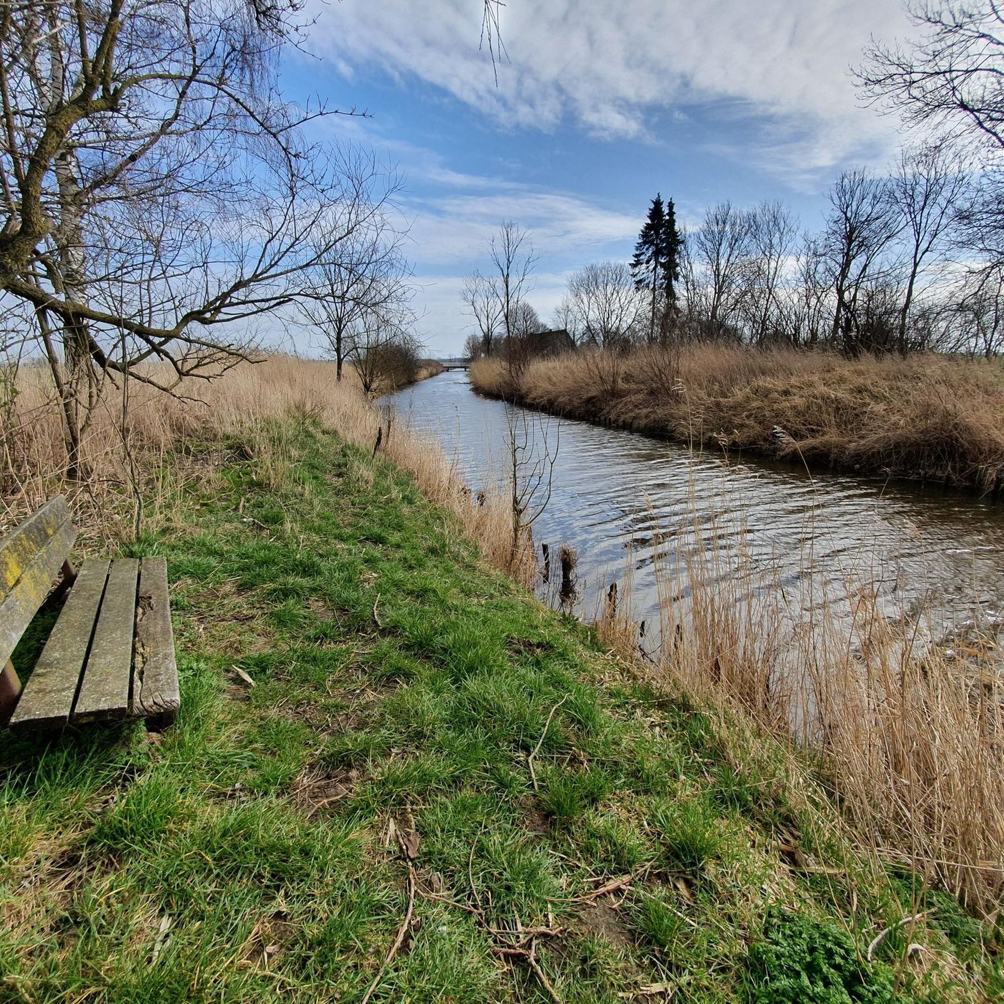
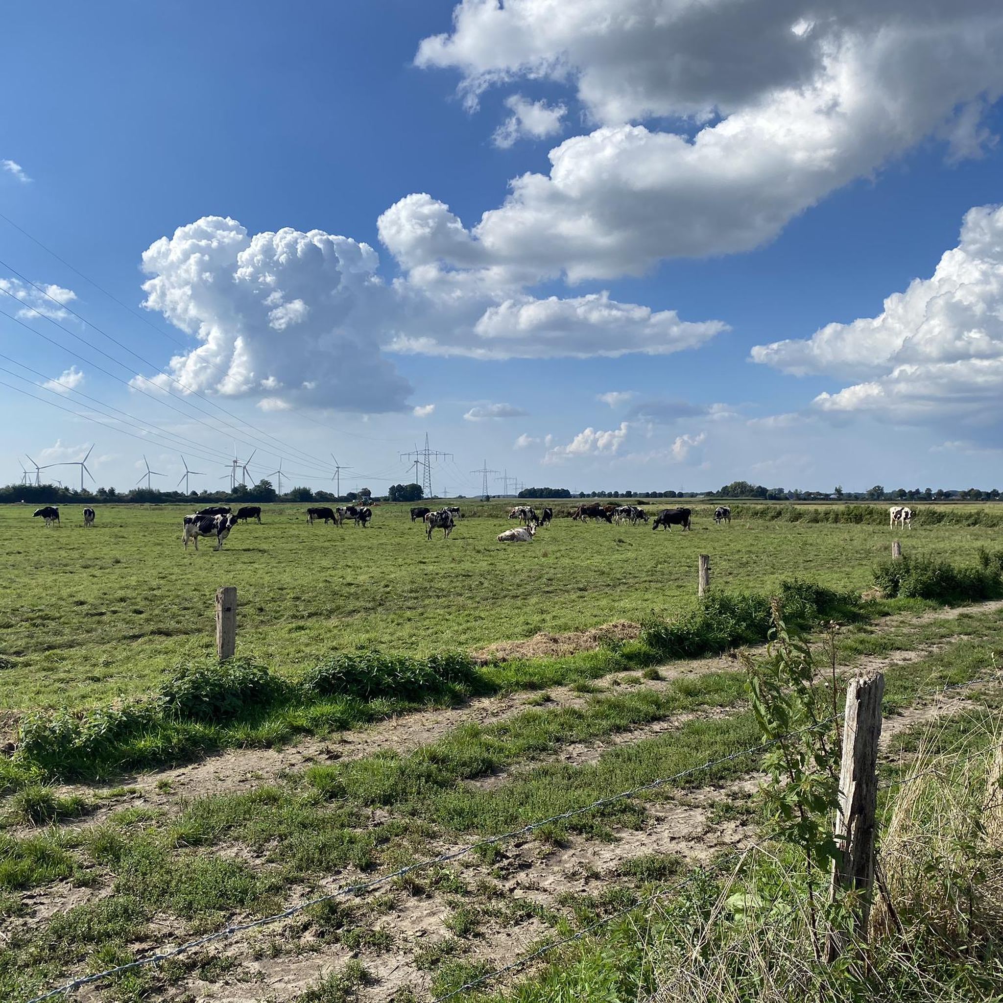
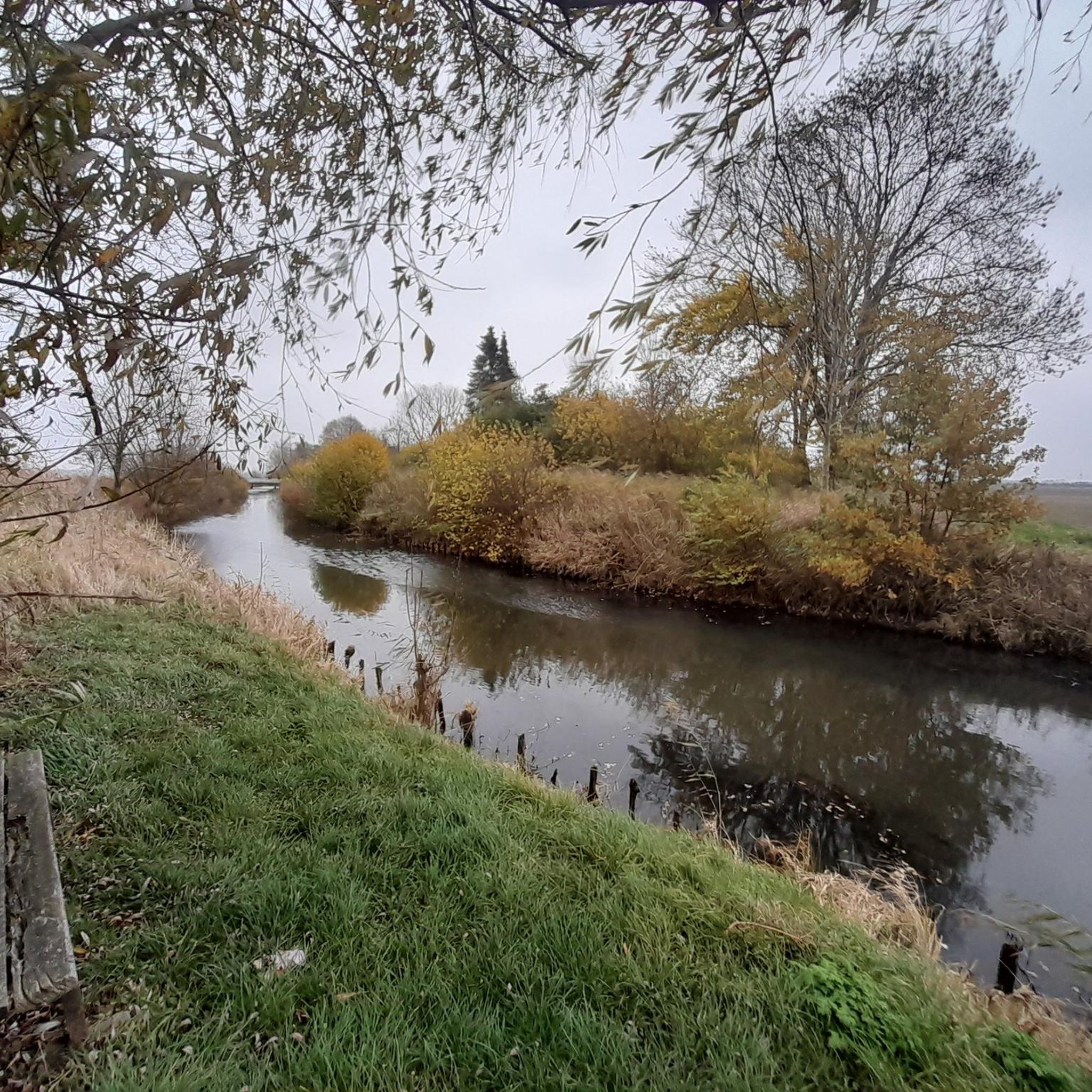
Tips from the Community

Opening hours: Monday - Friday: 6:00 a.m. to 8:00 p.m., Saturday 7:00 a.m. to 8:00 p.m., Sunday and public holiday 10:00 a.m. to 6:00 p.m. (as of 2026)
1
0

The path to the biotope is forbidden for dogs. This could be signposted right at the beginning.
1
0

Small ferry, fast crossing, fair price. I think 2 euros is really reasonable. No waiting, and covered benches with tables on the west bank.
1
0

There are several rest areas on the hiking trail along the Stör.
0
0
Beautiful narrow hiking trail along the Stör between Wewelsfleth and Störsperrwerk
0
0

Attention! Dogs are not allowed in the biotope. We have just turned back.
3
0

The cable-guided ferry comes for every car and every bicycle and does not wait until it is full.
2
0
This cable-guided ferry is worth a trip. The ferry comes for every car and every bicycle and doesn't wait until it's full. The other picture shows the accommodation where I stayed with the cycling group from June 2nd to 7th, 2024. It's very nice there. Unfortunately, we always ate inside because the weather was too bad.
0
0
Frequently Asked Questions
What kind of landscape can I expect when hiking around Süderau?
Hiking around Süderau offers a unique experience within the Krempermarsch region and near the Elbe River. You'll find predominantly flat terrain, characterized by extensive marshlands, agricultural fields, and paths along dikes. These dikes provide scenic views of the vast Elbe River and passing ships. The broader Steinburg district also features a mix of open fields and riverine environments.
Are there many easy hiking trails suitable for beginners in Süderau?
Yes, Süderau and its surroundings offer a significant number of easy hiking trails. Out of over 400 routes available, more than 280 are classified as easy. An example of an accessible route is the Bench with a view of the lake – Biotope Area Rethwisch loop from Rethwisch, which is an easy 4.9-mile (7.8 km) trail.
What are the typical durations for hikes in the Süderau area?
Hikes around Süderau vary in length and duration. You can find shorter walks, such as the King's Court, Krempe – St. Peter's Church, Krempe loop from Krempe, which is about 3.3 miles (5.3 km) and takes around 1 hour 19 minutes. Longer, more challenging routes like the Störsperrwerk – Path Along the Stör loop from Krempe can extend to 15.5 miles (24.9 km), requiring several hours to complete.
Are there any circular hiking routes available near Süderau?
Yes, many of the hiking routes around Süderau are designed as loops, allowing you to start and end at the same point. For instance, the Hohenfelder Moor – Natural Forest loop from Hohenfelde is an easy 3.9-mile (6.4 km) circular trail that takes you through natural forest areas.
What kind of attractions or landmarks can I see while hiking near Süderau?
While hiking near Süderau, you can explore various natural and man-made attractions. Highlights include the historic Glückstadt Harbor, the tranquil Deckmann's Ponds, and the unique Nordoer Heide Heathland. You might also encounter the Elbdeich Nature Reserve and Riverside Path, offering views of the Elbe River.
Is the Süderau area suitable for family-friendly hikes?
The flat terrain and numerous easy trails make the Süderau area generally suitable for family-friendly hikes. Many routes along the dikes and through agricultural fields are gentle and offer open spaces. Look for shorter, easy loops like the Bench with a view of the lake – Biotope Area Rethwisch loop from Rethwisch, which can be enjoyable for families.
Can I bring my dog on the hiking trails around Süderau?
Most hiking trails in the Süderau area, particularly those along dikes and through open fields, are generally dog-friendly. However, always keep your dog on a leash, especially in agricultural areas, near livestock, or in nature reserve sections. Be mindful of local regulations and ensure you clean up after your pet.
What do other hikers enjoy most about the trails in Süderau?
The komoot community highly rates the hiking experience in Süderau, with an average score of 4.6 stars from over 1900 reviews. Hikers often praise the peaceful, expansive views of the Elbe River, the well-maintained dike paths, and the opportunity to explore the unique marshland landscapes. The variety of easy routes is also frequently highlighted.
What is the best time of year to go hiking in Süderau?
The best time to hike in Süderau is typically from spring through autumn (April to October). During these months, the weather is generally mild, and the landscapes are vibrant. Spring brings blooming nature, while autumn offers beautiful colors. Summer is also pleasant, but be prepared for potential sun exposure on open dike paths. Winter hiking is possible, but trails can be muddy or icy, and strong winds from the Elbe can make it feel colder.
Are there any specific considerations for trail conditions in the Süderau region?
Given the marshland environment and proximity to the Elbe River, some trails, especially after heavy rain, can be muddy. Paths along dikes are generally well-maintained but exposed to the elements. Always wear appropriate footwear and check local weather conditions before heading out. The flat terrain means elevation changes are minimal, but wind can be a factor on open stretches.
Is public transport available to access hiking trails near Süderau?
While Süderau itself is a smaller community, the broader region has some public transport connections. To access specific trailheads, especially those further afield or along the Elbe, it's advisable to check local bus schedules or consider driving. Some routes might start or pass through towns like Krempe or Glückstadt, which have better public transport links.
Where can I find parking for hiking trails around Süderau?
Parking availability varies depending on the specific trailhead. In smaller towns or villages near Süderau, you can often find public parking areas. For routes starting in places like Krempe or Glückstadt, there are usually designated parking lots. When planning your hike, check the komoot tour details for information on starting points, which often include parking suggestions.
Most popular attractions around Süderau

Get inspired with the komoot mobile app


Explore more
Browse the best Hikes in other regions.
