The best walks and hikes around St. Veit an der Gölsen
4.6
(2181)
14,786
hikers
59
hikes
Hiking trails around St. Veit an der Gölsen are situated between the Vienna Woods and the Alpine foothills, offering a varied landscape for outdoor activities. The region features elevations ranging from 369 to 1,399 meters, encompassing green meadows, dense forests, and mountainous terrain. The Gölsen River meanders through the scenic Gölsental, providing riverside paths, while prominent features like the St. Veiter Staff offer geological insights and expansive views. This diverse geography supports a range of hiking experiences.
Best hiking trails…
Last updated: July 2, 2026
4.7
(19)
113
hikers
10.8km
03:25
400m
400m
Moderate hike. Good fitness required. Mostly accessible paths. Sure-footedness required.
4.8
(5)
57
hikers
16.2km
05:45
900m
900m
Hard hike. Very good fitness required. Sure-footedness, sturdy shoes and alpine experience required.

Sign up for free
5.0
(3)
71
hikers
4.28km
01:29
210m
210m
Moderate hike. Great for any fitness level. Mostly accessible paths. Sure-footedness required.
4.3
(10)
36
hikers
15.8km
04:48
530m
530m
Moderate hike. Good fitness required. Easily-accessible paths. Suitable for all skill levels.
5.0
(2)
40
hikers
6.75km
02:28
400m
400m
Moderate hike. Good fitness required. Mostly accessible paths. Sure-footedness required.
Get access to more routes and recommendations from other explorers.
Sign up for free
Already have an account?
Our route recommendations are based on thousands of hikes, rides, and runs completed by other people on komoot.
Start today with a free account
Your next adventure awaits.
Login or Signup
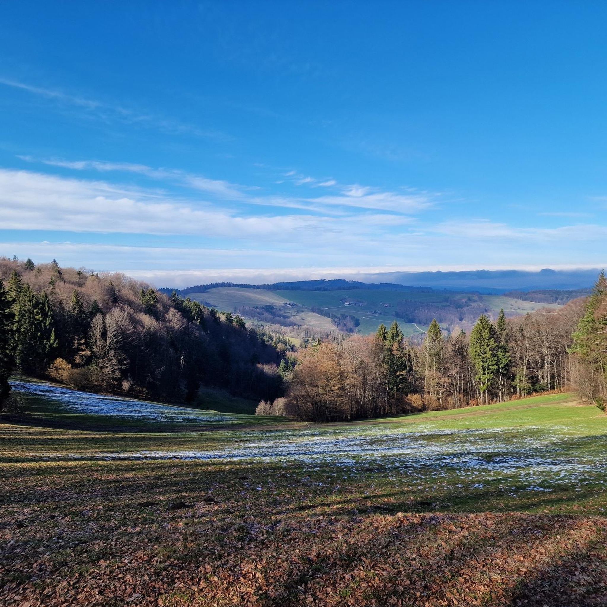
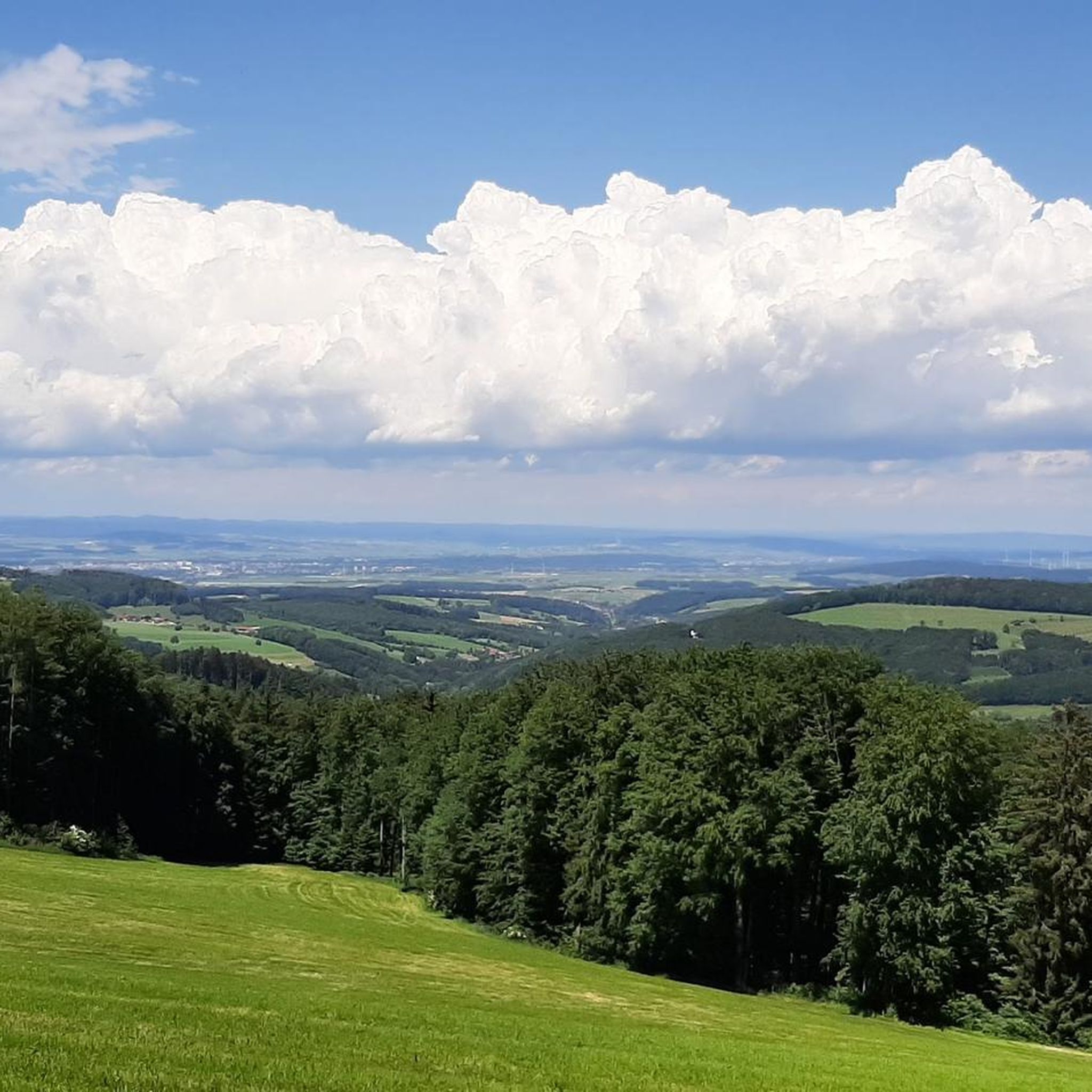
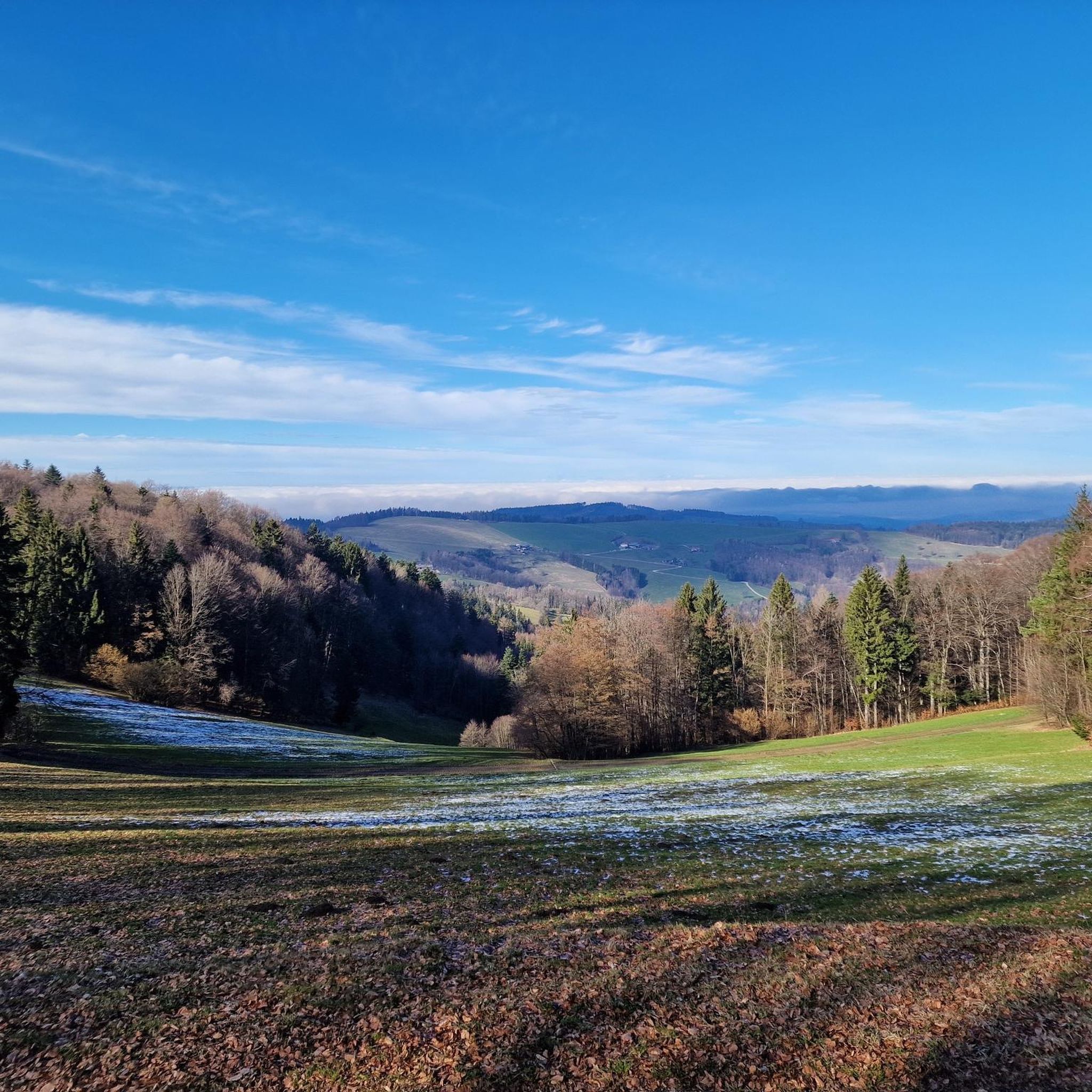
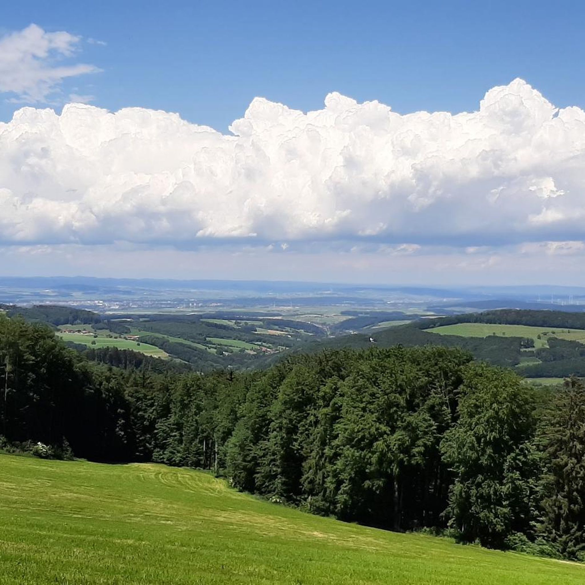

Tips from the Community

The food tastes good, but apart from the pasta dishes and meat dumplings (which are very, very tasty), it is very manageable.
0
0

scenically beautiful route over the Ehrenecker Höhe
0
0
beautiful view of the Alpine foothills
0
0

A very nice hut on the Kaiserkogel. The view from the summit is beautiful.
0
0
Path up to the Kaiserkogelhütte
0
0

A beautiful, enjoyable climb up to the Reisalpe, even in winter - those who are quiet and inconspicuous might be rewarded with a glimpse of a herd of deer; that's what happened to me 😊🦌❤️
0
0

Beautiful views over the small river Gölsen; the Gölsental cycle path and the Donaublick MTB route cross here.
1
0
The Gölsental cycle path leads across here, offering a beautiful view of the Gölsen river. The Danube View MTB loop returns to the valley here.
2
0
Frequently Asked Questions
What types of hiking trails can I find in St. Veit an der Gölsen?
St. Veit an der Gölsen offers a diverse range of hiking trails, from gentle walks through green meadows and forests in the Gölsental to more challenging ascents in the Alpine foothills. The region's unique position between the Vienna Woods and the Pre-Alps provides varied terrain, including riverside paths, geological nature trails, and mountain climbs.
Are there any easy or family-friendly hiking routes in the area?
Yes, there are 11 easy routes suitable for families or those seeking a relaxed walk. For example, the Rock Experience Trail – Staff Hut loop from St. Veit an der Gölsen is a moderate 2.7-mile trail that takes about 1 hour 28 minutes, leading through varied geological formations and rich flora, making it an engaging option for many.
What are some of the most scenic viewpoints or natural features to explore?
The region is rich in scenic spots. The St. Veiter Staff offers expansive views over the Vienna Woods and the Gölsental, with the first rise of the Limestone Alps visible. Peaks like the Reisalpe (1,398 m) provide panoramic views across the Traunstein, Schneeberg, and the Danube valley. The Gölsen River itself meanders through the scenic Gölsental, featuring green meadows and small waterfalls.
Are there any circular hiking routes available?
Yes, many routes in St. Veit an der Gölsen are designed as circular walks. A popular option is the Staff Summit Cross – Staff Hut loop from Wiesenfeld-Schwarzenbach, a moderate 6.7-mile trail that takes around 3 hours 24 minutes to complete.
What is the best time of year to go hiking in St. Veit an der Gölsen?
The best time to experience the vibrant plant life, especially the over a dozen orchid species on the St. Veiter Staff Nature Adventure Trail, is from April to July. Autumn, particularly October, also offers beautiful scenery with its rich foliage. The varied terrain means hiking is enjoyable throughout spring, summer, and autumn.
Are there mountain huts or places to stop for refreshments along the trails?
Yes, several mountain huts serve as popular rest stops. These include the Traisner Hut on the Hinteralm, known for its food and views, the Hainfelderhütte on the Kirchenberg, and the Staffhütte on the St. Veiter Staff. The Reisalpenhaus is also a welcoming spot after a challenging climb to the Reisalpe.
What do other hikers say about the trails in St. Veit an der Gölsen?
The hiking routes in St. Veit an der Gölsen are highly rated by the komoot community, with an average score of 4.5 stars from over 600 reviews. Hikers often praise the varied terrain, from the rolling hills of the Wienerwald to the challenging ascents of the Pre-Alps, and the well-marked paths that cater to different ability levels.
Are there any long-distance hiking trails that pass through St. Veit an der Gölsen?
Yes, the region is part of significant long-distance routes. The "Waldmarkweg," a 13-stage trail circling the district of Lilienfeld, passes over prominent peaks. Additionally, stages of the approximately 220 km long Wienerwald long-distance hiking trail 404 are accessible in the vicinity.
What are some of the more challenging hikes in the area?
For experienced hikers, the region offers several difficult routes. The Kleinzeller Hinteralm – Reisalpenhaus loop from Inner-Wiesenbach is a challenging 10.1-mile path leading to the Reisalpe, one of the highest mountains in the Lower Austrian Prealps, providing panoramic views.
Can I learn about the local flora and geology while hiking?
Yes, the "Nature Adventure Trail" (Naturerlebnisweg-St. Veiter Staff) on the St. Veiter Staff provides insights into the typical landscape of the northeastern Pre-Alpine rim, showcasing diverse geological formations and a rich flora, including over a dozen orchid species. There is also a Botanical and Geological Open-Air Museum in the area for further education.
Are there any historical or cultural points of interest along the hiking routes?
The St. Veiter Staff is home to a 12th-century castle ruin, adding a historical dimension to the natural landscape. Furthermore, St. Veit an der Gölsen is situated directly on the "Via Sacra," an ancient pilgrimage route from Vienna to Mariazell, offering a spiritual and scenic hiking experience.
Most popular routes around St. Veit an der Gölsen
Most popular attractions around St. Veit an der Gölsen

Get inspired with the komoot mobile app


Explore more
Browse the best Hikes in other regions.
