The best road cycling routes around Campogalliano
4.2
(365)
11,816
riders
483
rides
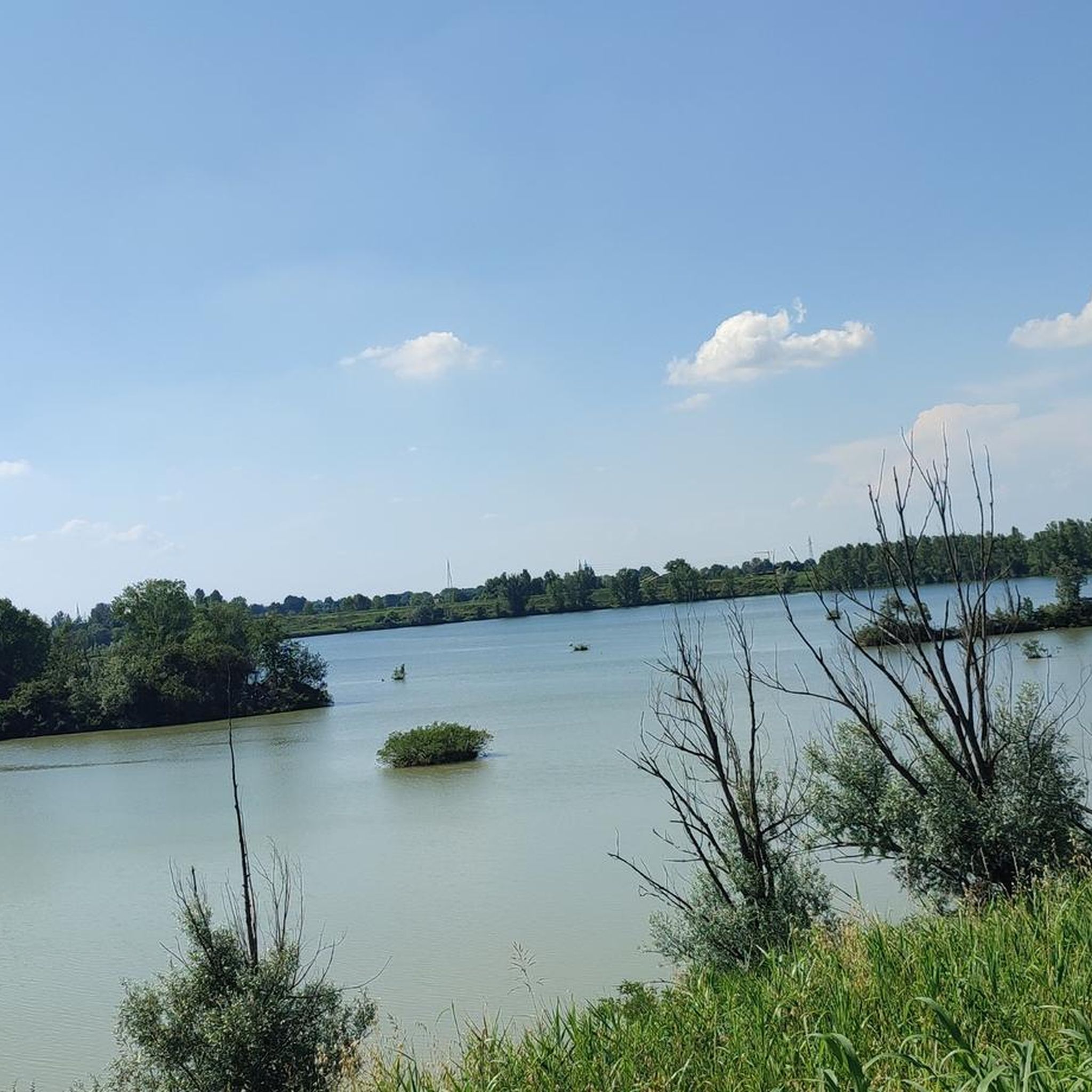
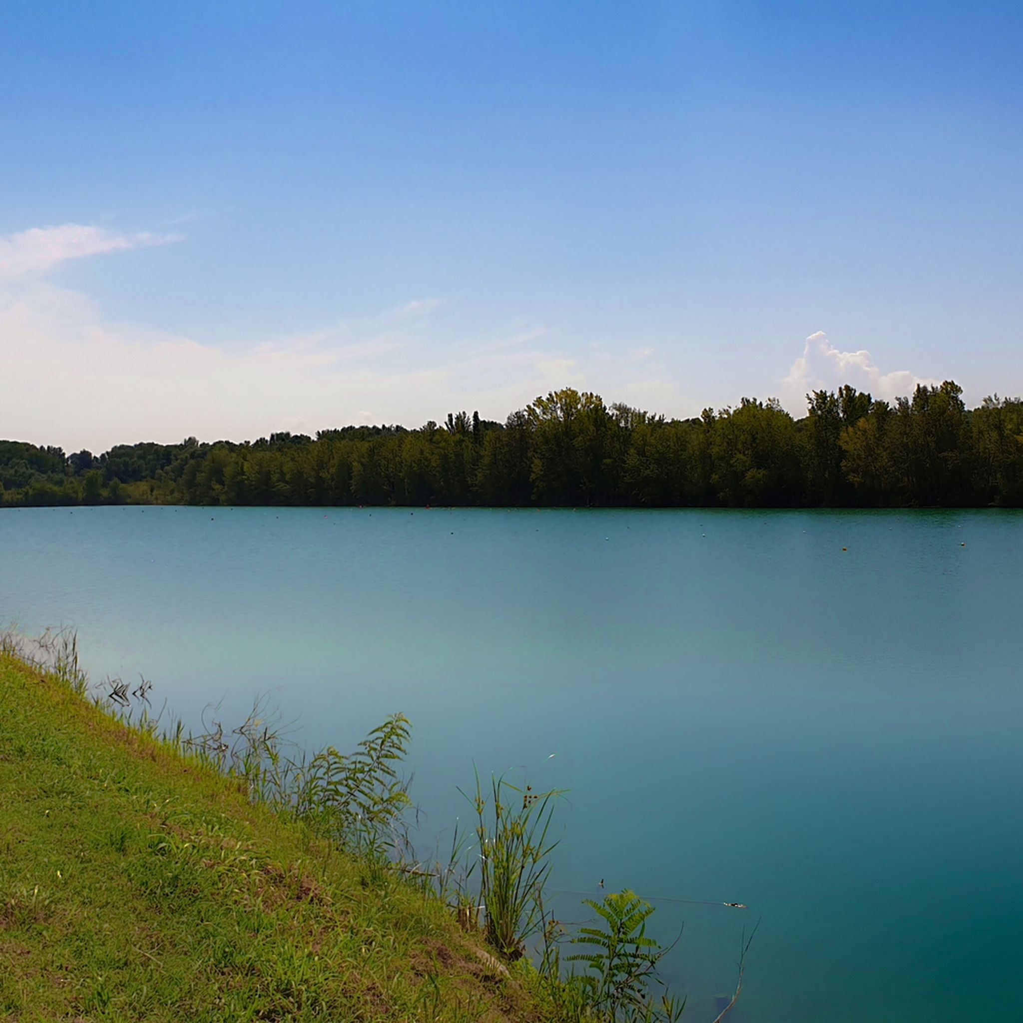
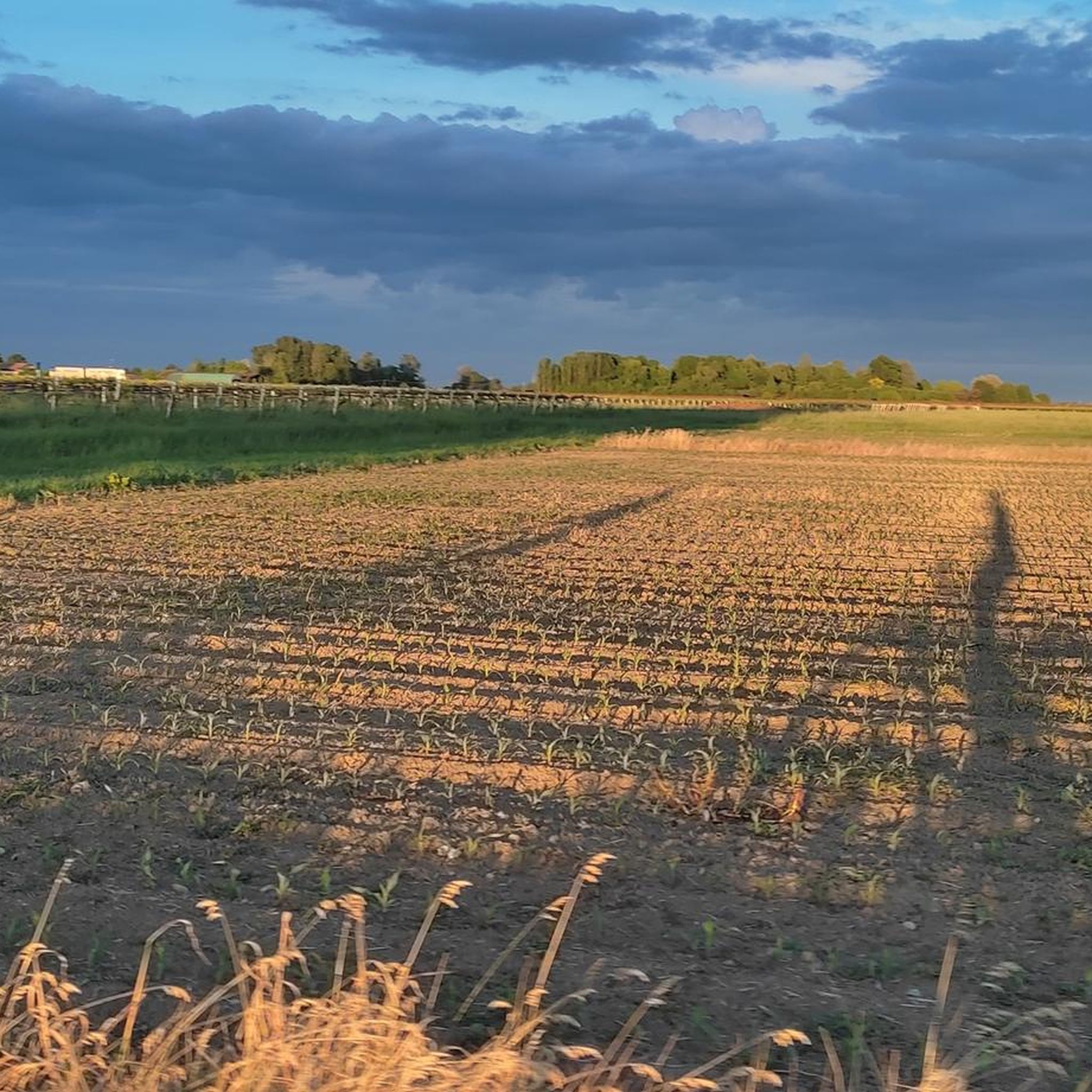
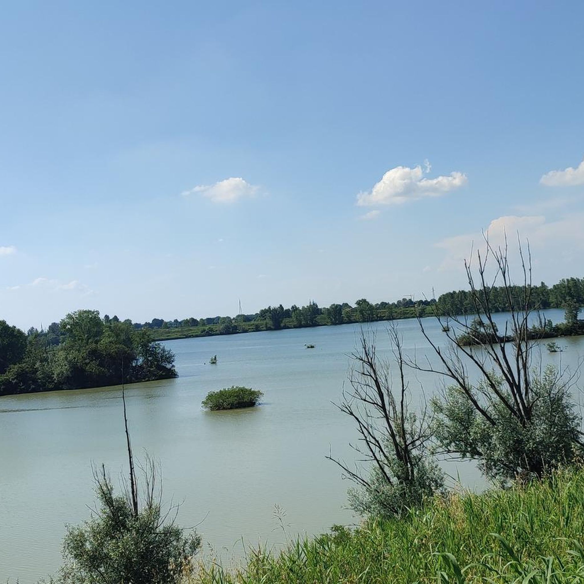
Road cycling around Campogalliano features diverse landscapes, including flat stretches through farmland and routes with considerable ascents. The region is characterized by the presence of the Secchia River and several lakes, such as the Campogalliano Lakes and Secchia Floodplain Lakes. These natural features are integrated into a network of cycling routes, many of which are on paved surfaces. The terrain offers options for various fitness levels, from easier rides to challenging excursions.
Best road cycling routes around Campogalliano
- The most…
Last updated: October 21, 2026
3.0
(2)
140
riders
Moderate road ride. Good fitness required. Mostly well-paved surfaces and easy to ride.
4.8
(4)
112
riders
92.8km
04:13
870m
870m
Moderate road ride. Good fitness required. Mostly well-paved surfaces and easy to ride.

70
riders
79.2km
03:34
490m
490m
Moderate road ride. Good fitness required. Some segments of this route may be unpaved and difficult to ride.
26
riders
50.9km
02:10
60m
60m
Moderate road ride. Good fitness required. Mostly well-paved surfaces and easy to ride.
3.8
(8)
55
riders
Moderate road ride. Good fitness required. Mostly well-paved surfaces and easy to ride.
Get access to more routes and recommendations from other explorers.
Already have an account?
Our route recommendations are based on thousands of hikes, rides, and runs completed by other people on komoot.
Start today with a free account
Your next adventure awaits.

Tips from the Community

It is located on Via Gilles Villeneuve just outside Maranello in Fiorano
0
0
So much history
0
0

The Duomo of Modena, whose official name is Metropolitan Cathedral of Saint Mary of the Assumption, is one of the greatest masterpieces of Romanesque style in Europe. Inscribed on the UNESCO World Heritage List since 1997 along with the Ghirlandina Tower and Piazza Grande, it represents the historical, religious, and cultural heart of the Emilian city.
1
0
The Duomo of Modena, whose official name is Cattedrale Metropolitana di Santa Maria Assunta in Cielo e San Geminiano, is one of the greatest masterpieces of Romanesque style in Europe. Inscribed on the UNESCO World Heritage List since 1997 along with the Ghirlandina Tower and Piazza Grande, it represents the historical, religious, and cultural heart of the Emilian city.
2
0
La Via delle Argille mainly indicates a naturalistic, geological and multisensory itinerary inaugurated in April 2024 in the Municipality of Baiso, in the province of Reggio Emilia. The path originates from the recovery and enhancement of a former disused ceramic clay quarry in the valley floor of the Rio Giorgella.
0
0
The GPM (Gran Premio della Montagna) of Baiso is a famous cycling climb located in the Reggiano Apennines. The classic climb measures about 5 km with an average gradient of 6% and maximum gradients reaching 11%, representing a challenging test for cycling enthusiasts. Technical Details of the Climb Length: 5 km Average Gradient: 6% Maximum Gradient: up to 11% Location: Baiso (province of Reggio Emilia)
0
0
In Rubiera, in the heart of the province of Reggio Emilia, there isn't a single cycle path, but the territory is an important hub for various naturalistic cycle paths and urban routes, mainly guided by the Secchia Regional Cycle Path ER13 and the network of local paths of the Municipality of Rubiera.
1
0

Always a welcome refreshment for us cyclists 🚴♀️
1
0
Frequently Asked Questions
How many road cycling routes are available around Campogalliano?
There are over 500 road cycling routes around Campogalliano, offering a wide variety of options for different skill levels and preferences. You can find routes ranging from easy to difficult.
What kind of terrain and landscapes can I expect on road cycling routes in Campogalliano?
The region around Campogalliano offers diverse landscapes, from flat stretches through farmland to routes with considerable ascents. You'll encounter scenic views of the Secchia River, the Campogalliano Lakes, and the Secchia Floodplain Lakes, many of which are integrated into the cycling paths.
When is the best time of year to go road cycling in Campogalliano?
May and June are particularly popular months for road cycling in Campogalliano, offering pleasant weather conditions for exploring the region's routes.
Are there road cycling routes suitable for beginners or those looking for an easy ride?
Yes, Campogalliano offers a good selection of easier routes. For instance, the Aircraft Cemetery near Rubiera – Madonnina di Strada loop from Campogalliano is an easy 31.8 km ride with minimal elevation gain, suitable for all skill levels. Overall, there are over 130 easy routes available.
Can I find challenging road cycling routes with significant elevation gain in the area?
Absolutely. For experienced cyclists seeking a challenge, routes like the View of Prignano sul Secchia – Prignano Moncerrato Climb loop from Soliera Modenese offer substantial climbing over 125 km. There are nearly 60 difficult routes in the region, many featuring significant ascents.
Are there any circular road cycling routes around Campogalliano?
Yes, many of the road cycling routes in Campogalliano are designed as loops, allowing you to start and finish at the same point. Examples include the Villanova Cycle Path – Marco Pantani Memorial loop from Soliera Modenese and the Modena–Vignola Cycle Path – Panaro River loop from Soliera Modenese.
What historical landmarks or points of interest can I see along the road cycling routes?
Many routes incorporate historical sites. You can cycle past impressive structures like Formigine Castle, Soliera Fortress, or Arceto Castle. The region also features the Modena Cathedral and Piazza Grande, which are accessible from some routes.
Are there natural attractions to explore while road cycling in Campogalliano?
Absolutely. The routes often feature the tranquil Campogalliano Lakes and Secchia Floodplain Lakes. You can also ride along the Secchia River, with highlights such as the Nature Trail of the Secchia River Expansion Reserve and the Barchetta Bridge on the Secchia River.
What do other road cyclists say about the routes in Campogalliano?
The road cycling routes in Campogalliano are highly rated by the komoot community, with an average score of 4.3 stars from over 300 reviews. Cyclists often praise the varied terrain, the well-maintained paved surfaces, and the beautiful natural and historical sights along the way.
Are there any routes that follow the Secchia River?
Yes, the Secchia River is a prominent feature of the region. Routes like the Secchia Cycle Route follow its course, offering scenic rides along its banks and crossing it via various bridges. The Modena–Vignola Cycle Path – Panaro River loop from Soliera Modenese also incorporates river views.
How long do road cycling routes in Campogalliano typically take to complete?
Route durations vary significantly based on distance and elevation. For example, an easy route like the Aircraft Cemetery near Rubiera – Madonnina di Strada loop from Campogalliano might take just over an hour, while a difficult route such as the Castellarano Castle – Drinking Water Fountain loop from Soliera Modenese can take over five and a half hours.
Most popular routes around Campogalliano
Most popular attractions around Campogalliano

Get inspired with the komoot mobile app


Explore more
Browse the best Road cycling routes in other regions.
