The best running trails around Alpago
4.6
(62)
1,461
runners
81
runs
Jogging around Alpago offers diverse terrain within the Dolomites Pre-Alps, characterized by a blend of mountains, forests, and a significant lake. The region features the expansive Lago di Santa Croce, providing flat or gently undulating paths along its shores. Inland, the Cansiglio Forest offers numerous trails through beech and fir trees, while the surrounding hills and lower mountain slopes present varied terrain with elevation changes. This landscape provides a range of running experiences from lakeside paths to forest trails.
Best…
Last updated: August 14, 2026
3.6
(20)
169
runners
15.5km
01:38
170m
170m
Hard run. Very good fitness required. Mostly paved surfaces. Suitable for all skill levels.
5.0
(8)
164
runners
9.23km
00:58
30m
30m
Moderate run. Good fitness required. Mostly paved surfaces. Suitable for all skill levels.

Sign up for free
4.5
(2)
61
runners
Moderate run. Good fitness required. Mostly paved surfaces. Suitable for all skill levels.
45
runners
Hard run. Good fitness required. Sure-footedness, sturdy shoes and alpine experience required.
66
runners
26.1km
03:27
570m
570m
Hard run. Very good fitness required. Sure-footedness, sturdy shoes and alpine experience required.
Get access to more routes and recommendations from other explorers.
Sign up for free
Already have an account?
Our route recommendations are based on thousands of hikes, rides, and runs completed by other people on komoot.
Start today with a free account
Your next adventure awaits.
Login or Signup
Popular around Alpago

A trail running adventure in the Dolomites – Alta Via 6
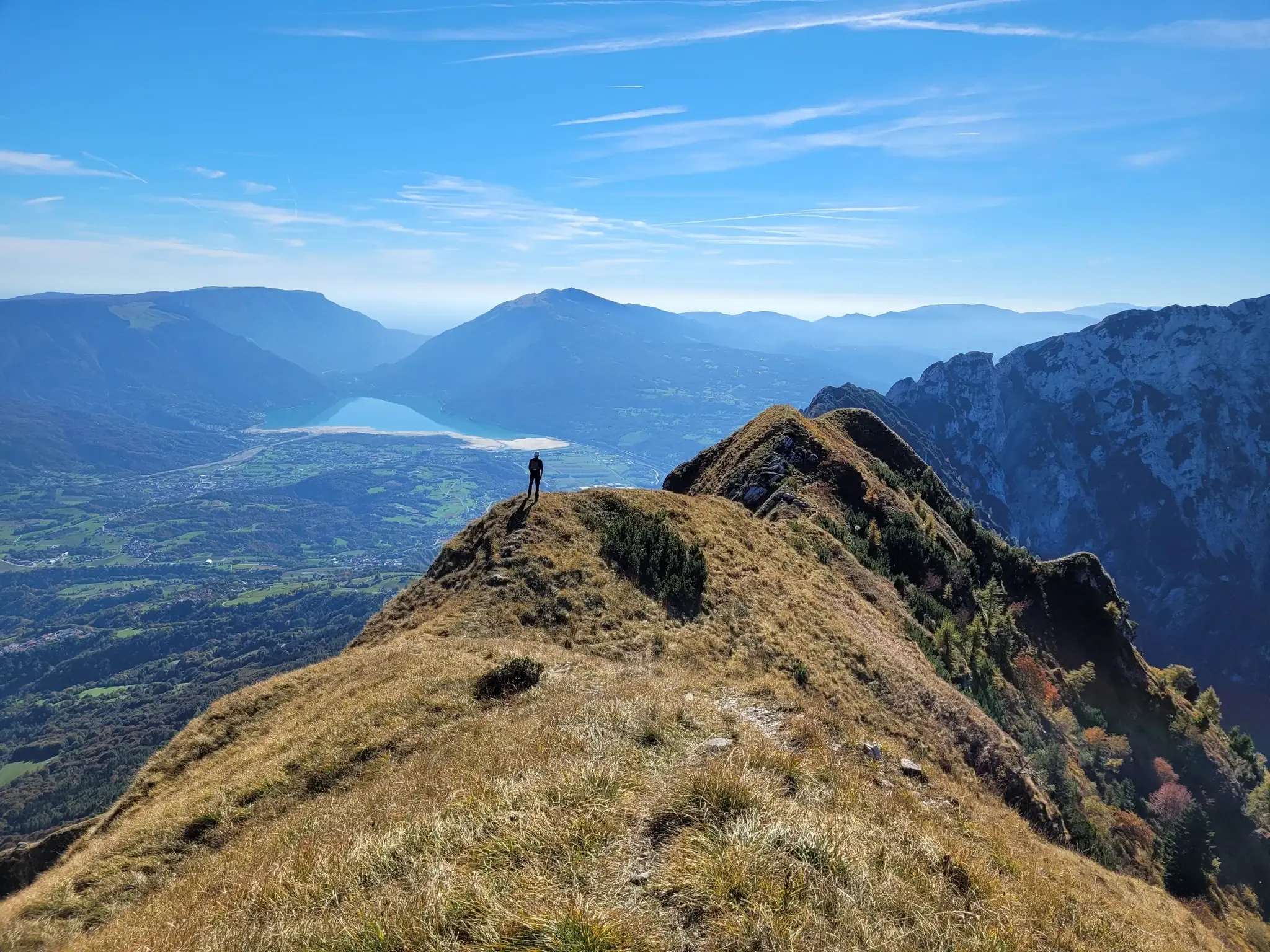
A fairytale hike in Italy’s Pale Mountains – Alta Via delle Dolomiti 7

Via delle Prealpi – On the way with the MTB in the Venetian Prealps
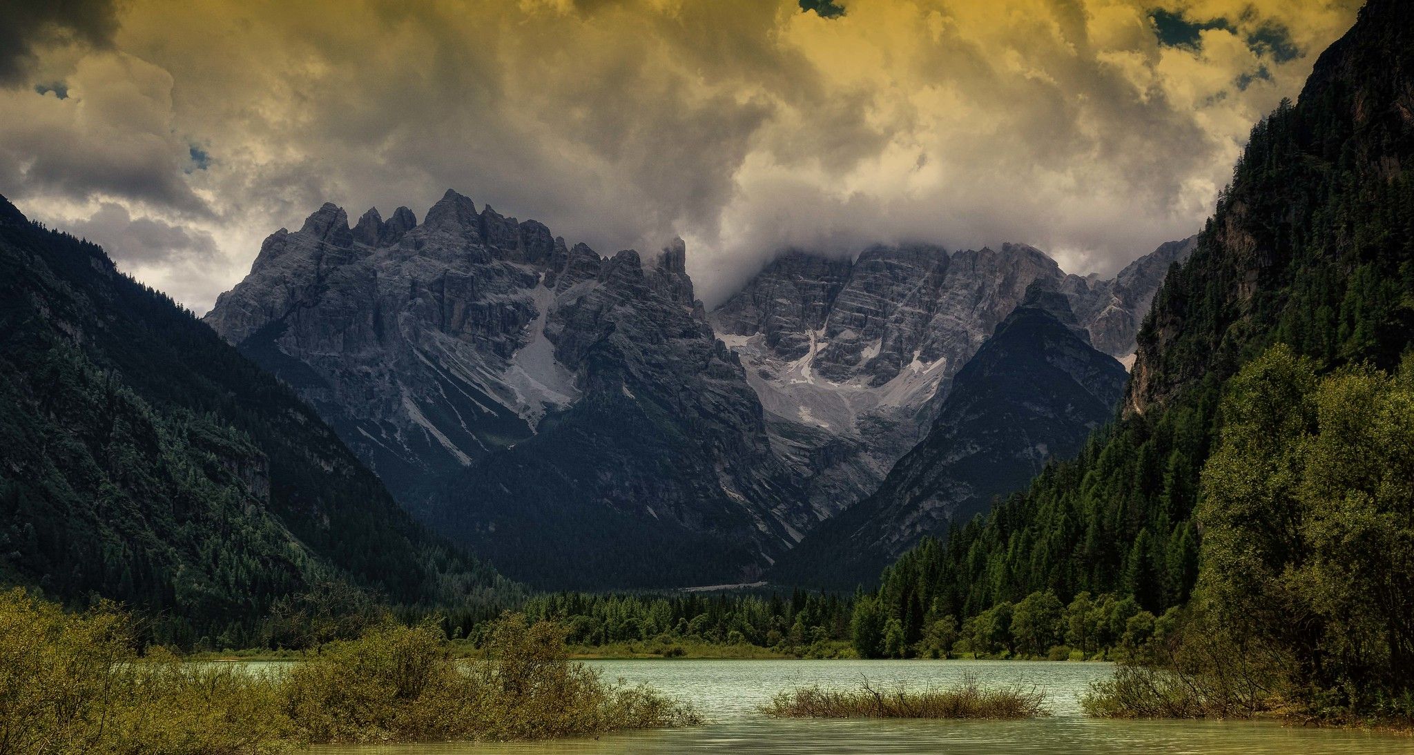
Ride across the Alps – bikepacking between Munich and Venice
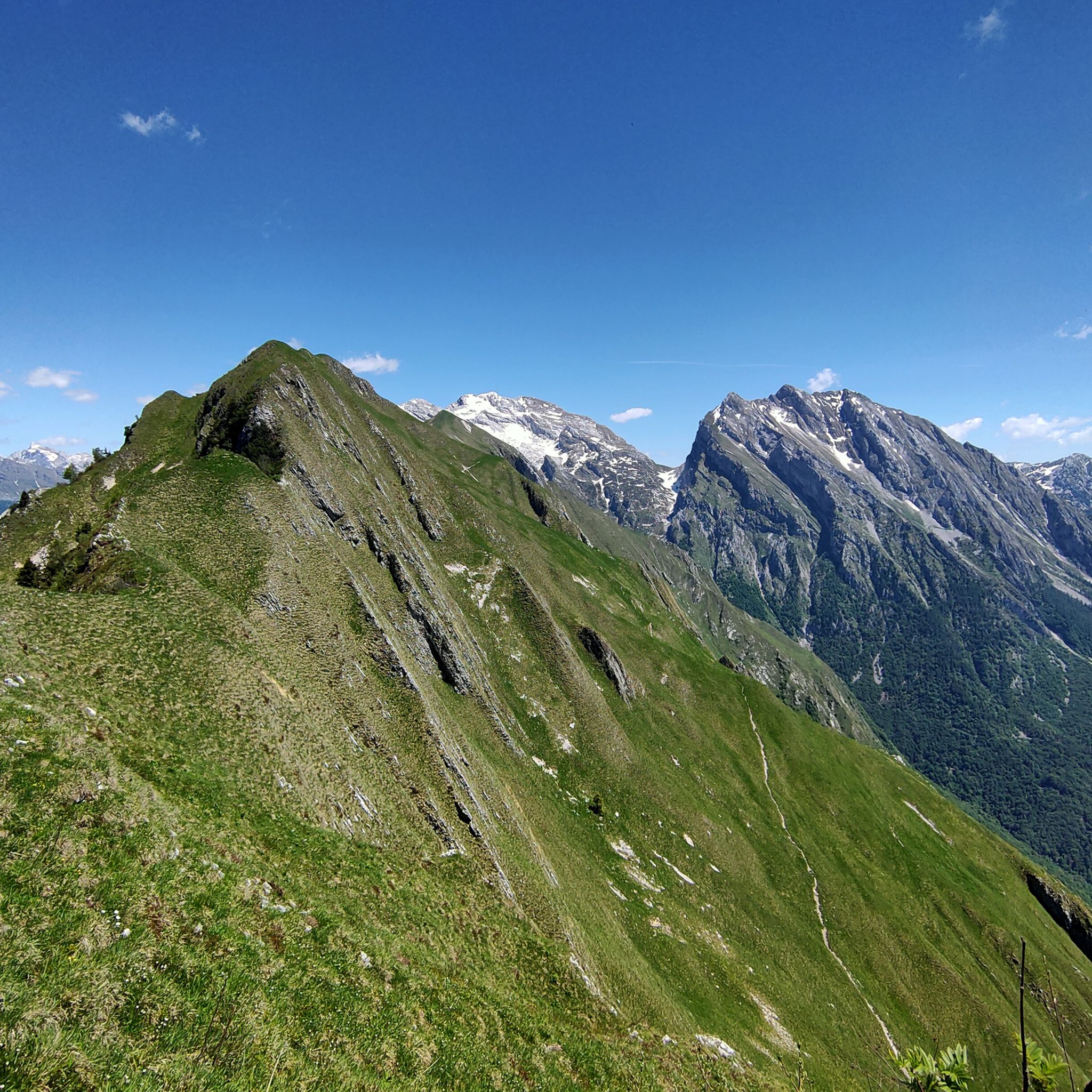
Hiking around Alpago
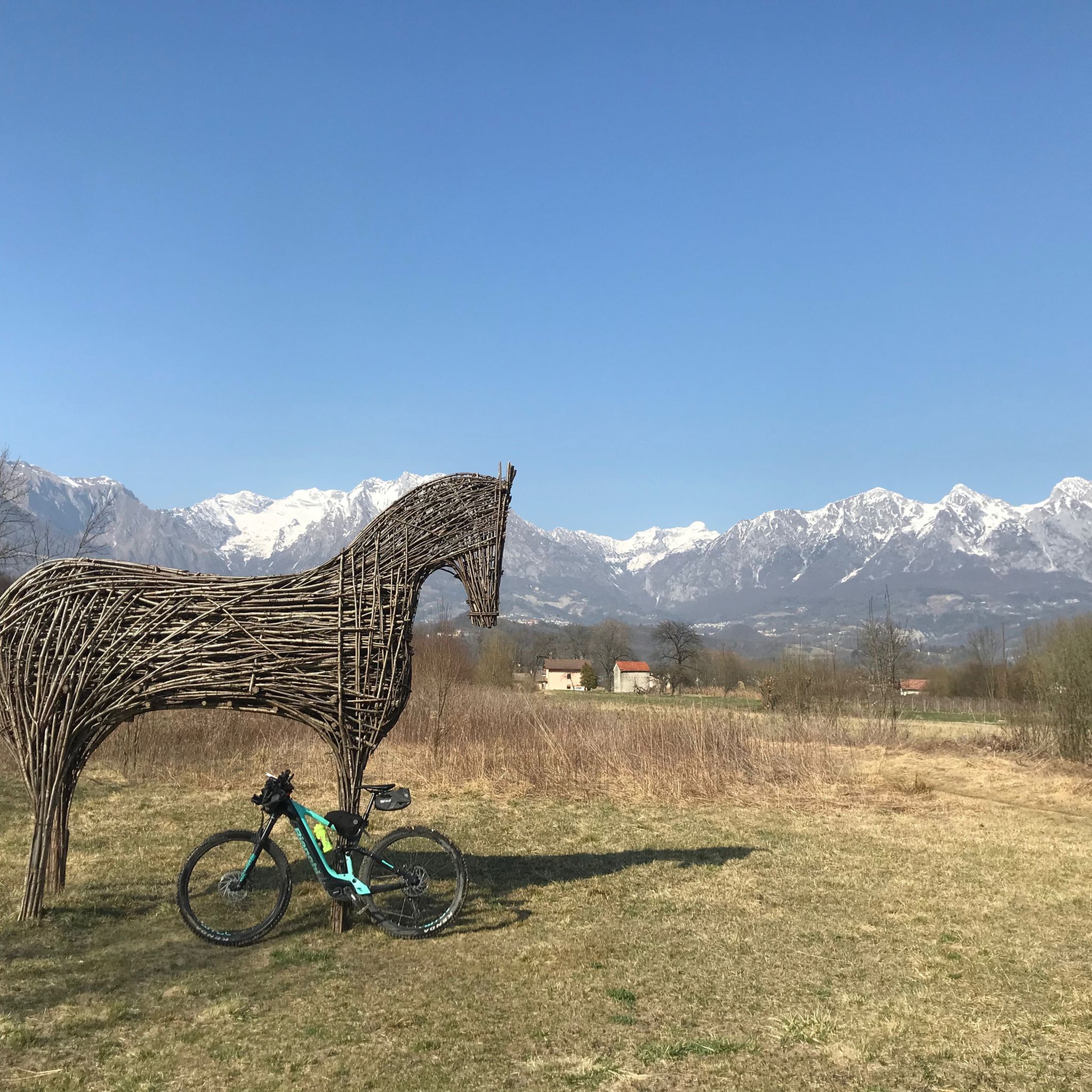
MTB Trails around Alpago
Cycling around Alpago
Gravel biking around Alpago
Road Cycling Routes around Alpago

Mountain Hikes around Alpago
Other adventures around Alpago


Tips from the Community

The Cansiglio Forest hides a myriad of sinkholes, pits, and swallow holes of all sizes, due to the karst morphology of the territory: the rain dissolves the limestone rock, slowly but inexorably forming these natural chasms and fissures on the ground. The Bus de la Lum is an abyss characterized by a single large vertical entrance shaft 180m high, which then develops into a very large and articulated underground complex. The depth of the shaft is best appreciated out of season, because in summer the lush vegetation tends to partially obscure the view. According to ancient beliefs, it is the dwelling of the Anguane or Anduane, fierce and evil witches, toothless, with long rusty nails instead of hair and sharp fangs, who kidnapped and ate children! They gathered at the bottom of the cave, lighting fires, whose glows rose to the surface, visible at night to the shepherds of the area: hence the name 'Buco della Luce' (Hole of Light). In reality, the legend has a grain of truth: on hot summer nights, will-o'-the-wisps could indeed be formed by the decomposing carcasses of livestock dead from illness, which it was customary to throw into the Buso. During World War II, the cavity was sadly used by partisans as a foiba, to dispose of the bodies of fascists and nazis, but also of civilians: over the years, several bodies and bones have been found during explorations. https://it.wikipedia.org/wiki/Bus_de_la_Lum
0
0

Together with Pian Cansiglio and Cornesega, Valmenera is one of the three depressions that make up the central part of the Cansiglio Plateau. The largest in terms of area. This evocative basin is particularly known for its cold microclimate, where record thermal inversions are recorded with temperatures that, in the winter months, can drop to extreme levels. A historical peak was reached in March 2005, when ARPA Veneto analyses recorded a temperature of -35.4°C. Located in the municipal territory of Tambre (BL), it has a wide and flat bottom, called Piano di Valmenera. It represents a typical polje, whose slopes are largely covered by arboreal vegetation; the western slopes, on the other hand, are characterized by meadows, with rather degraded herbaceous vegetation, due to exploitation in the form of mowing and grazing. The dairy farm of the same name, which today operates as a farm stay, is in fact surrounded by 74 hectares of meadows used for grazing its own livestock. Up to here, through the Campon valley, came a tongue of the ancient and vast Piave Glacier. The Piano di Valmenera and part of the basin are part of the "Pian di Landro-Baldassarre" Oriented Nature Reserve.
2
0

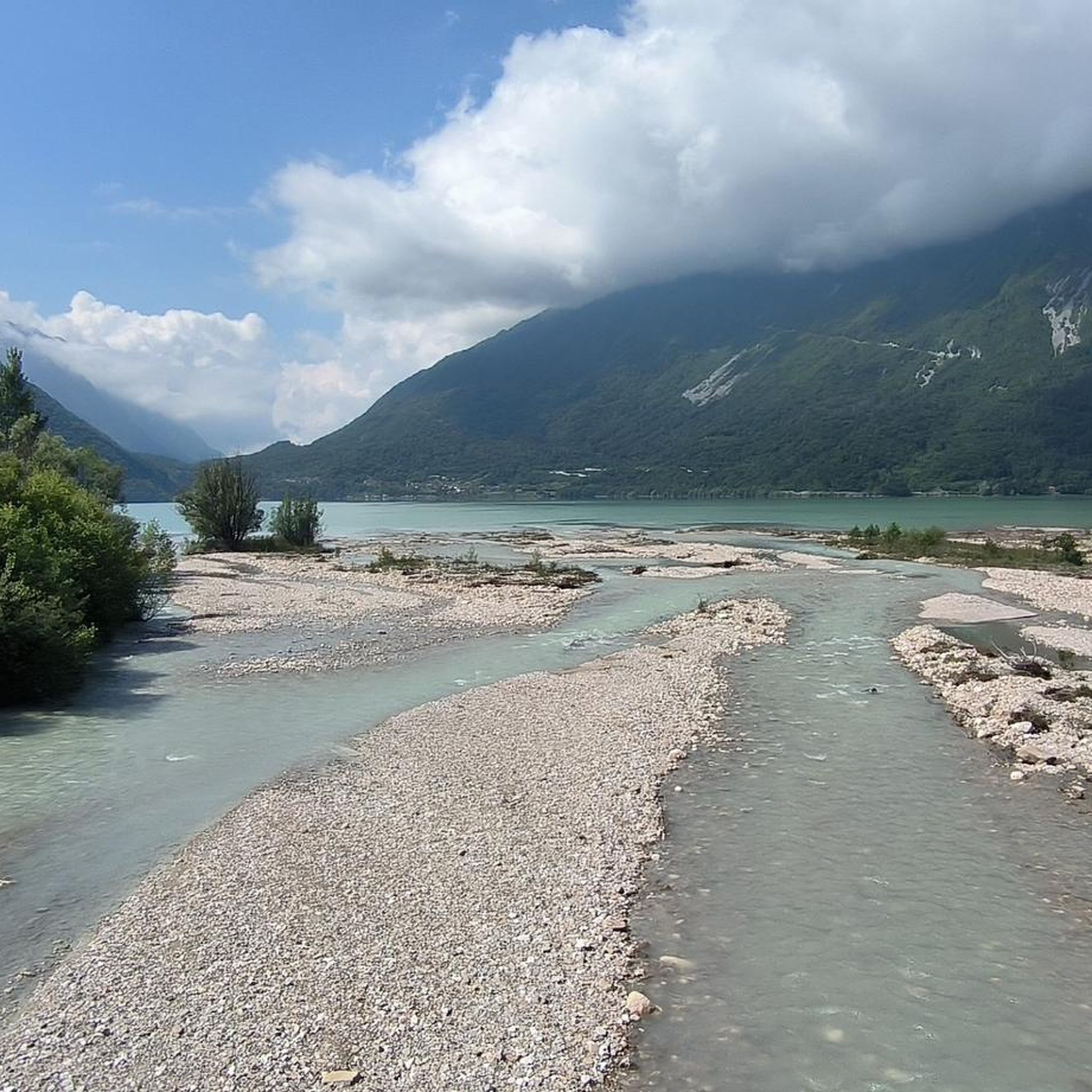
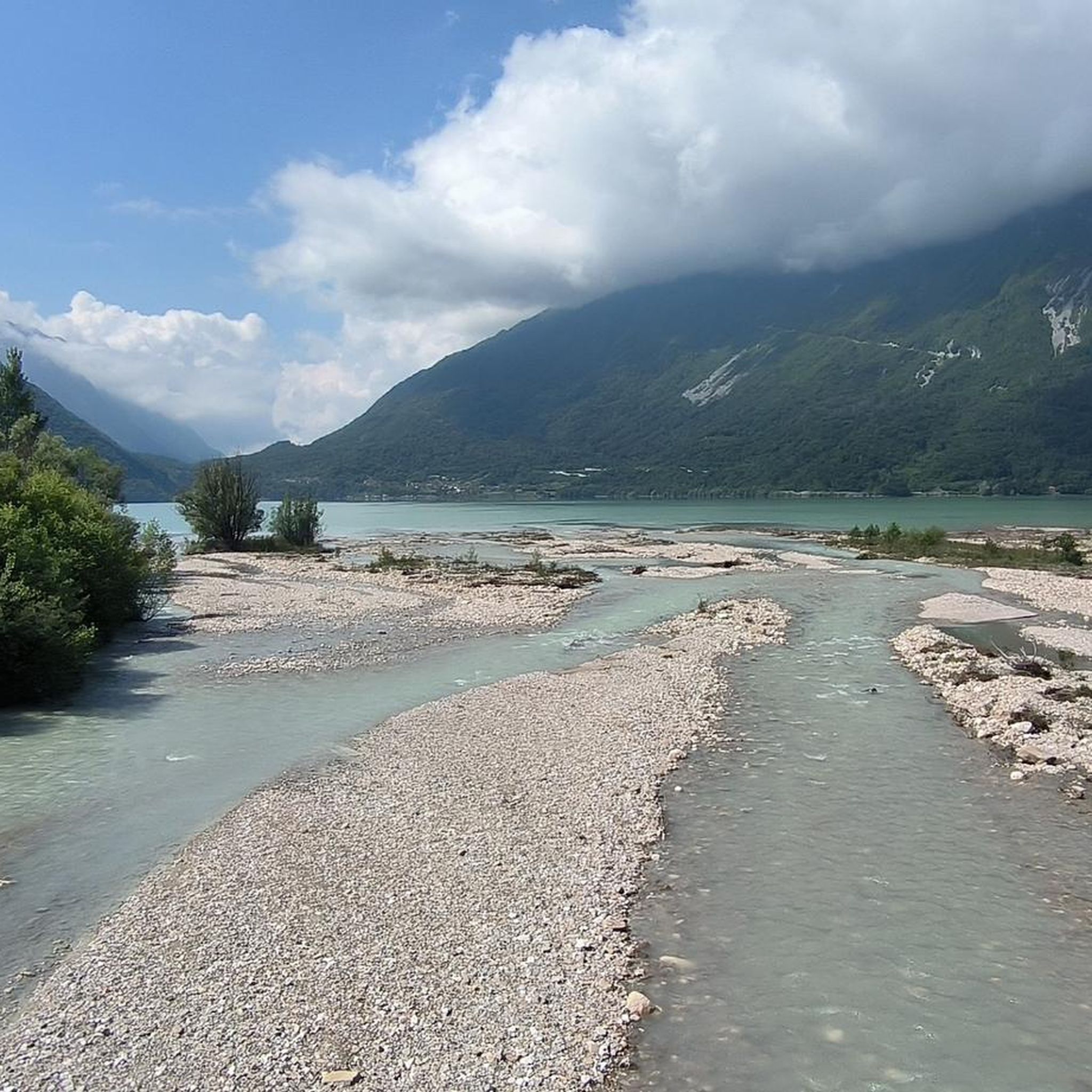
Lake Santa Croce is the largest natural basin in the province of Belluno and the second largest in the Veneto region, located in the suggestive Alpago basin. This body of water, framed by the Belluno Prealps, is famous for being a true wind paradise. The constant currents that sweep across it, particularly the afternoon thermal wind, make it an international destination for lovers of sailing, windsurfing, and kitesurfing. Along its shores, equipped beaches for relaxation and a network of trails ideal for trekking and cycling have developed, such as the cycle path that runs along part of it. In the northern area lies the Sbarai nature oasis, a wetland of great ecological value, fundamental for birdwatching and the nesting of many bird species, which enriches the naturalistic charm of this dynamic tourist hub.
0
0

Beautiful lake for water sports.
17
0

Lake Santa Croce, where images come to life.
0
0

all those boats placed like this are extremely suggestive and cannot help but attract your attention as you pass by
0
0

In Valmenera the enormous damage caused by Storm Vaia is still very evident. My photos want to tell what happened between 27 and 30 October 2018 in this splendid valley and the hard work, still in progress, of the forestry and lumberjacks, who have freed the valley from the broken and uprooted trunks by the fury of the wind. In the images you can see the enormous open wounds in the empty plain, without the hundreds of centuries-old pine trees. https://www.geopop.it/la-devastante-tempesta-vaia-del-2018-i-danni-dellestremo-evento-meteorologico/
0
0

The name probably derives from "lume" or flame, due to the luminescence that would have been seen on summer nights above the cavity, produced by the gases generated by the putrefaction of animal carcasses thrown into the well. The cavity was formed by karst, or by the dissolution of the rock by water. According to legend, it is inhabited by the Anguane, very ugly fairies, with nails instead of hair, and long fangs instead of teeth. During the day they went to wash clothes at Lake Santa Croce, then wandered around in search of wood, food and children to roast. At night, they lit a small fire, whose light, spotted by shepherds, gives the cavity its name
2
0
Frequently Asked Questions
How many running routes are available in Alpago?
Alpago offers over 60 dedicated running routes, catering to various preferences and fitness levels. These include easy lakeside paths, moderate forest trails, and more challenging mountain runs.
What kind of terrain and difficulty can I expect on the running trails in Alpago?
The region provides a wide range of running experiences. You'll find easy, flat paths along Lake Santa Croce, moderate trails through the Cansiglio Forest, and more challenging routes in the surrounding hills and mountains. Specifically, there are 7 easy, 36 moderate, and 21 difficult routes to choose from.
Are there any scenic running routes along Lake Santa Croce?
Yes, Lake Santa Croce is a highlight for runners. The Lake Santa Croce – Lake Santa Croce loop from Farra d'Alpago offers consistent water views on a relatively flat surface. Another option is the Spiaggia bar Baywatch loop from Alpago, which also explores the lakeside area.
Can I find running trails through forests in Alpago?
The Cansiglio Forest, known as the 'Forest of the Doges,' provides an extensive network of trails through ancient beech, silver fir, and spruce trees. Routes like the 'Cansiglio Forest Trail' offer a tranquil and immersive running experience. The 'Cansiglio Ring' is another accessible option with minimal elevation gain.
Are there any running routes suitable for families or beginners?
Yes, Alpago has several family-friendly and beginner-suitable options. The flatter paths along Lake Santa Croce, such as the eastern side's cycling loop, are ideal. Many trails within the Cansiglio Forest also offer gentle terrain suitable for those new to running or looking for an easier pace.
What do other runners enjoy the most about jogging in Alpago?
The running routes in Alpago are highly rated by the komoot community, with an average score of 4.7 stars from over 40 reviews. Runners often praise the diverse terrain, from serene lakeside paths to challenging forest climbs, and the breathtaking natural beauty of the region.
Are there any running routes with significant elevation gain for a more challenging workout?
For experienced runners seeking a challenge, the hills and mountains surrounding Alpago, such as those near Tambre and Pieve d'Alpago, offer trails with significant elevation gains. Mount Dolada, at 1,500 meters, also provides panoramic views and strenuous running opportunities.
Are there any interesting landmarks or points of interest along the running routes?
While running, you might encounter various natural and historical points. The region is framed by peaks like Monte Cavallo and Col Nudo. You can also explore areas near the Col Visentin Hut or Mount Pizzoc, which offer stunning views. The Archaeological Trail in Pieve d'Alpago also combines running with historical exploration.
What is the best time of year for running in Alpago?
Alpago's specific microclimate, influenced by Lake Santa Croce, generally ensures favorable conditions for outdoor activities. Spring and autumn are particularly beautiful, with autumn offering vibrant foliage in the Cansiglio Forest. Summer is also popular, especially for lakeside runs, while winter can offer unique experiences on snow-covered trails for those prepared.
Are there any loop running routes in Alpago?
Yes, many routes in Alpago are designed as loops, providing a convenient running experience. The View of Lake Santa Croce – Lago di Santa Croce loop from Farra d'Alpago is a popular option, as is the Running loop from Farra d'Alpago. The 'Cansiglio Ring' in the Cansiglio Forest also offers a longer loop through varied terrain.
Are there options for trail running versus road running in Alpago?
Alpago caters to both preferences. For trail running, the Cansiglio Forest and the mountain trails offer natural surfaces and varied terrain. For road running or smoother paths, the routes along Lake Santa Croce, including the Via Regia cycle path, provide excellent paved or well-maintained gravel surfaces.
Most popular attractions around Alpago

Get inspired with the komoot mobile app


Explore more
Browse the best Running Trails & Routes in other regions.
