The best MTB trails around Voltago Agordino
4.4
(157)
1,007
riders
66
rides
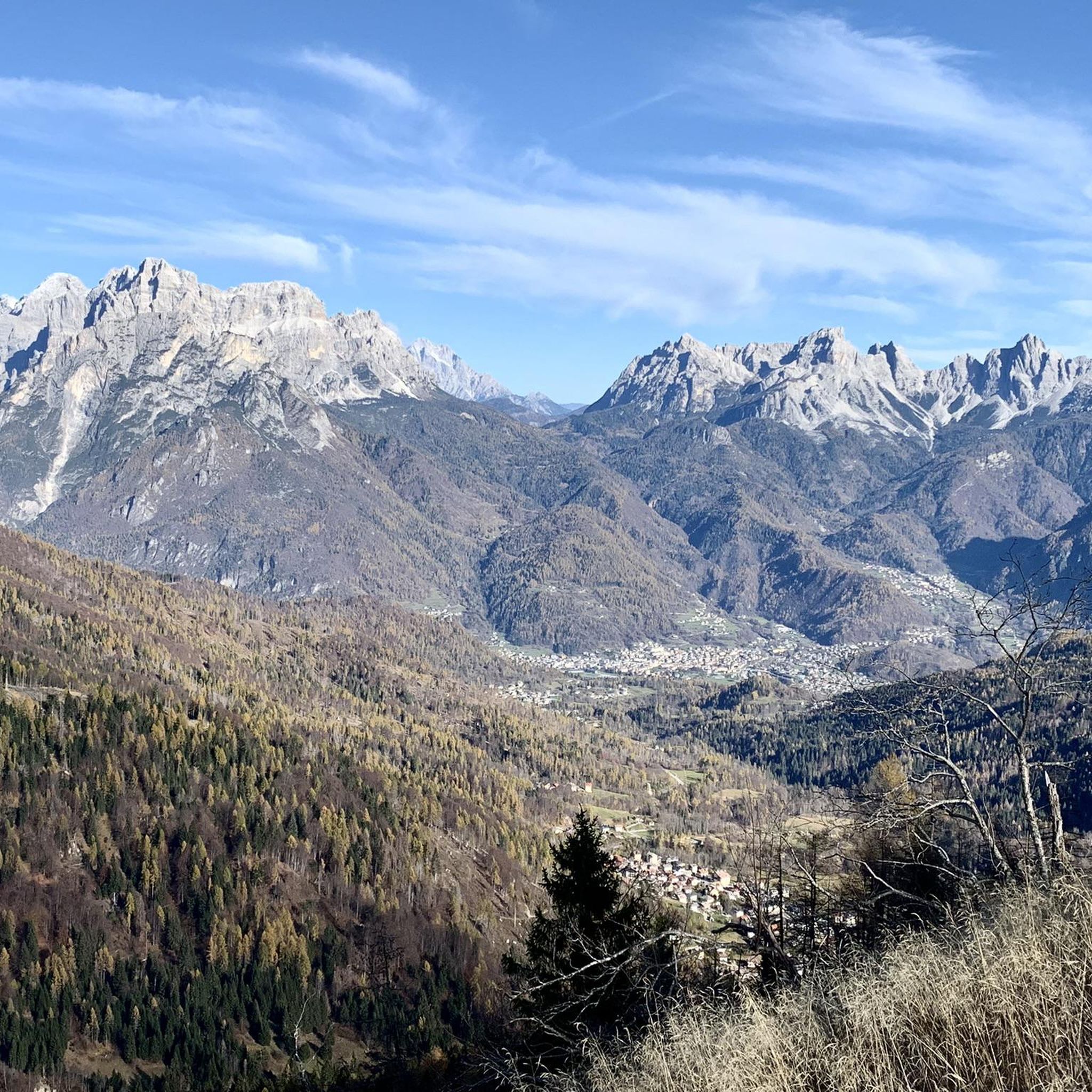
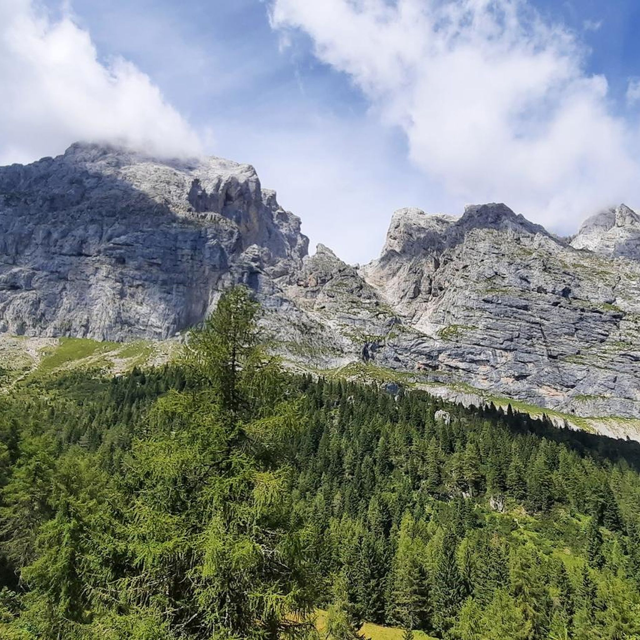
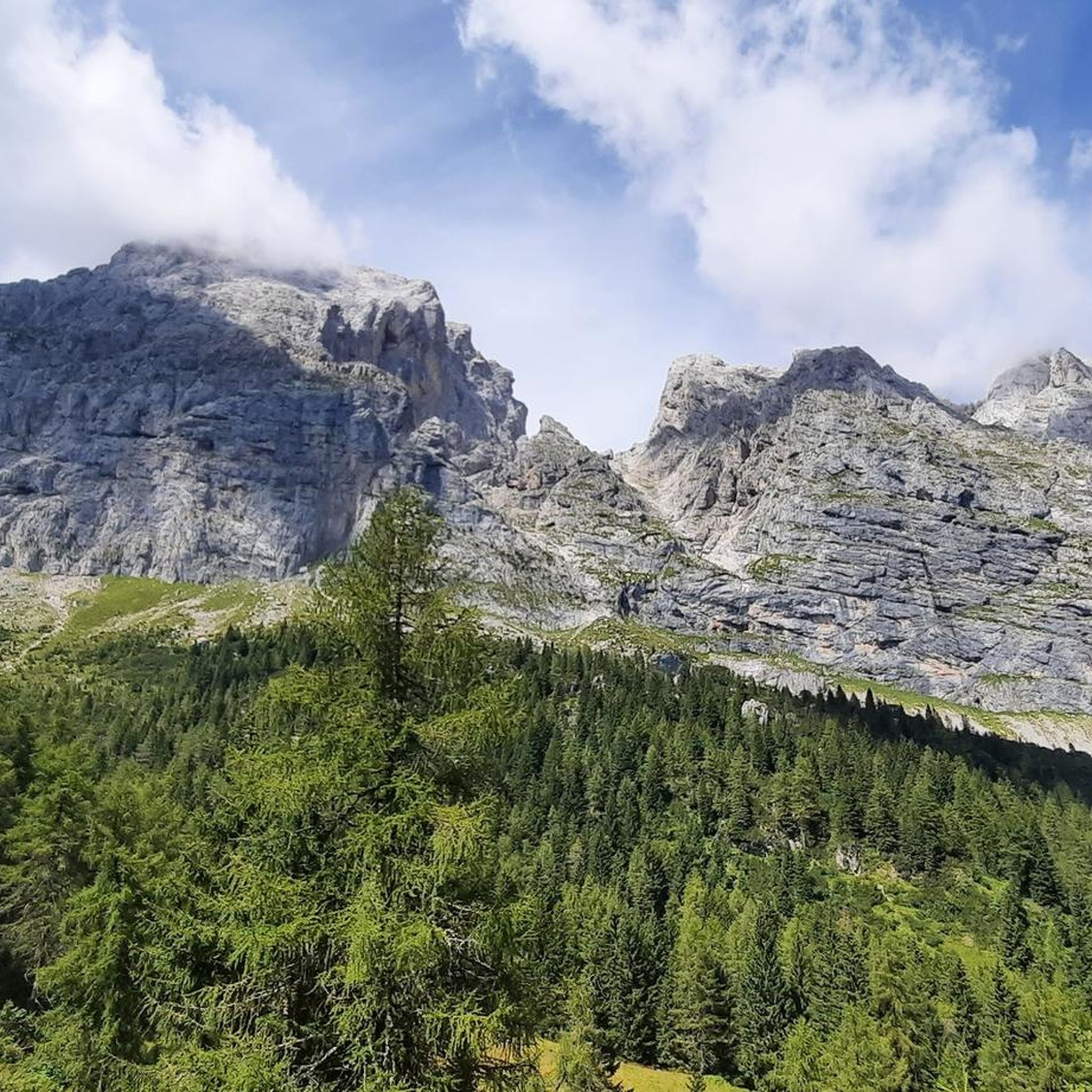
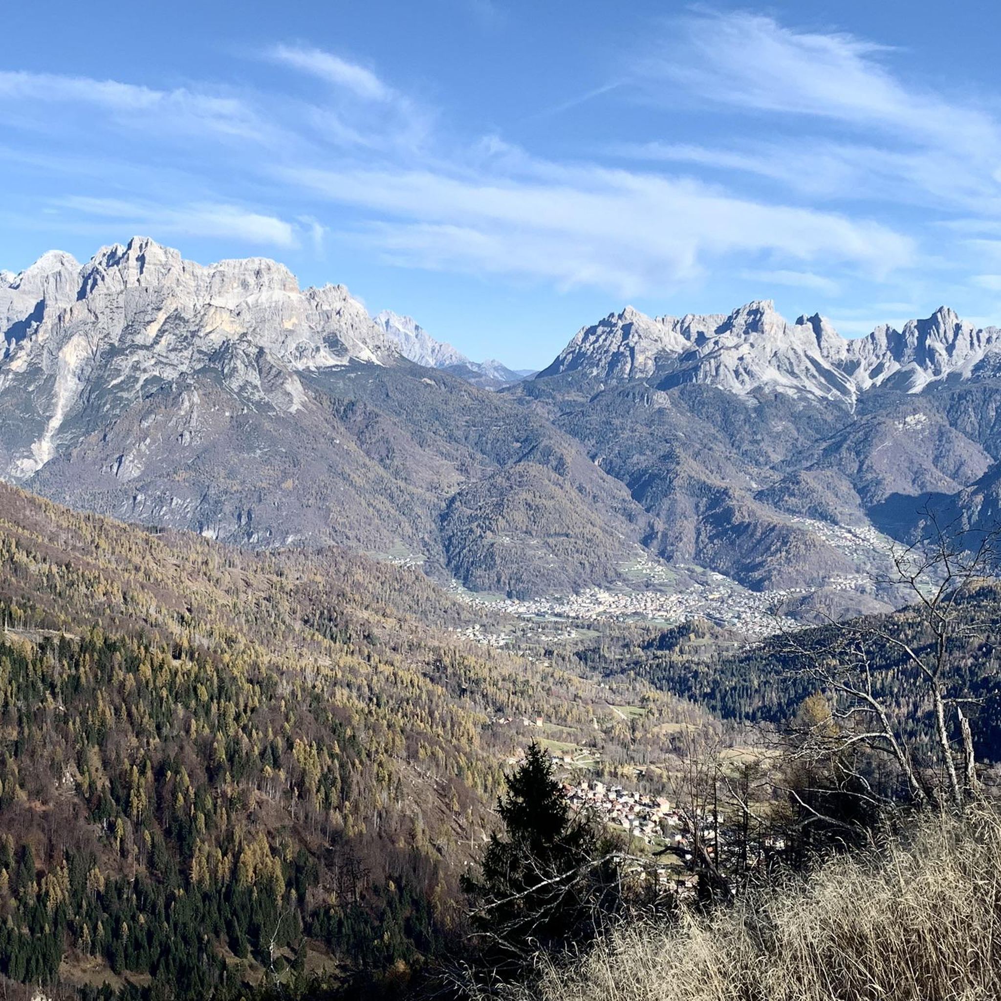
Mountain bike trails around Voltago Agordino navigate a landscape characterized by significant elevation changes, with routes often climbing through mountain passes and descending into valleys. The region features a mix of forested areas, open alpine meadows, and rocky terrain, providing varied riding conditions. Mountain bikers can expect challenging ascents and rewarding views across the Dolomites. The area's geology contributes to diverse trail surfaces, from gravel paths to more technical singletrack.
Best mountain bike trails around Voltago Agordino
- The most popular…
Last updated: July 4, 2026
4.5
(20)
83
riders
32.4km
03:07
880m
880m
Hard mountain bike ride. Good fitness required. Advanced riding skills necessary. Some portions of the route may require you to push your bike.
4.7
(9)
49
riders
32.7km
03:25
1,330m
1,330m
Hard mountain bike ride. Very good fitness required. Advanced riding skills necessary. Some portions of the route may require you to push your bike.

Sign up for free
4.5
(4)
31
riders
25.9km
02:37
890m
890m
Moderate mountain bike ride. Good fitness required. Advanced riding skills necessary.
4.4
(7)
34
riders
38.1km
03:03
950m
950m
Hard mountain bike ride. Very good fitness required. Suitable for all skill levels.
4.5
(4)
22
riders
23.9km
02:22
880m
880m
Moderate mountain bike ride. Good fitness required. Advanced riding skills necessary.
Get access to more routes and recommendations from other explorers.
Sign up for free
Already have an account?
Our route recommendations are based on thousands of hikes, rides, and runs completed by other people on komoot.
Start today with a free account
Your next adventure awaits.
Login or Signup

Tips from the Community

It is located along the main road, about 200 m on the left going up from the Roccon furniture factory towards Veran
0
0

Beautiful tour with wonderful views and good paths.
0
0

The Carestiato Refuge (1,834 m) stands on the panoramic Còl dei Pass, at the base of the southern faces of the Moiazza. It was built after World War II thanks to a courageous initiative by the Agordina Section of the Italian Alpine Club (CAI). The project was largely supported by the Carestiato family, in memory of their young son Bruto (1921-1943), who died in the Civetta massif. Còl dei Pass, chosen for the refuge, was at that time accessible only by a path used by herds from the nearby mountain pasture: all the necessary materials were therefore carried on the shoulders of endless teams of volunteers who ascended from Passo Duràn. Later, the collaboration of the Alpine troops from the XXII Marzo 1848 Barracks, who intervened several times with their pack animal unit, proved providential. Only the framework was prepared by sourcing wood from the adjacent wooded area and transported to the hill via rudimentary cableways. Over the years, the refuge has undergone technical and structural modernizations to provide logistical assistance to its numerous hikers. The current access (trail 549) was completed in 1978 and subsequently expanded several times. A unique feature is the crossing of the enormous Val di Vie gravel flow, which often blocks the dirt road. The water intake for the refuge's aqueduct is located here, supplied by a modern pumping station. The old structure underwent a radical renovation in 2005-2006, bringing the refuge to a modern and efficient standard through the expansion and modernization of the sleeping accommodations, kitchen area, and outdoor terrace. These works began under the presidency of Giorgio Fontanive and were completed thanks to funding from the Veneto Region, along with funds acquired from the sale of the "Cesare Tomè" refuge at Passo Duràn. The Carestiato Refuge has 8 bedrooms, each with 4 bunk beds, and an additional 4 bedrooms in the annex at the back. From here, the view sweeps across the Agordina Valley and its surrounding mountains: Monte Célo, Monti del Sole, Vette Feltrine, and the Croda Granda-Agnèr mountain range. www.rifugiocarestiato.com
1
0

Until recently, there was a small wooden bridge here. But the heavy storms of recent years, with the consequent swelling of the stream, have swept it away. Today the ford is made easier by a concrete bottom: a perfect opportunity to cool off! In any case, along the way, there will be plenty of time to dry off.
0
0
At Casera Cole (1376 m) you reach a crossroads: the easy descent leads towards Prà de Val and La Valle Agordina, while the one towards Agordo is decidedly more challenging, both on MTB and e-MTB.
0
0
The Bivacco G. Menegazzi is a small brick structure managed by the ANA group of Gosaldo; it has an economical stove and a wooden mezzanine with 8 beds. It is located at 1,737 m above sea level, in the Pian Lònch pasture, about ten minutes from the Rifugio Malga Cavallera. The view from here is truly enchanting: in front the gaze sweeps over the Monti del Sole, the Cimonega group and the Vette Feltrine, while behind rise the Dolomite peaks of Croda Granda, Sass d’Ortiga and Cima Oltro. Inaugurated in August 1980, it was created by recovering the old Casera Pianlonch. It is named after Giovanni Menegazzi, an Alpine soldier from Sant'Andrea di Gosaldo who fell on Monte Golico in March 1941 and was awarded the silver medal for military valor.
1
0
Small sweet and rustic cabin in a great location
0
1

Frequently Asked Questions
How many mountain bike trails are available in Voltago Agordino?
There are over 60 mountain bike trails around Voltago Agordino, offering a wide range of options for different skill levels and preferences.
Are there mountain bike trails suitable for beginners or families in Voltago Agordino?
While the region is known for significant elevation changes, there is at least one easy trail available. Many of the 29 moderate trails might also be suitable for families or beginners with some mountain biking experience, especially those looking for less technical routes. Always check the route details for specific difficulty and elevation profiles.
What are some challenging mountain bike routes for experienced riders?
Experienced riders will find plenty of challenging options, with 33 difficult trails in the area. A notable difficult route is the Duran Pass – Bruto Carestiato Hut loop from Agordo, which features a demanding climb to a mountain pass and offers expansive alpine vistas.
Are there any loop trails for mountain biking in Voltago Agordino?
Yes, many of the mountain bike trails in Voltago Agordino are designed as loops, allowing you to start and finish in the same location. Examples include the Laghetto delle Peschiere – View of the Arco del Bersanel loop from Agordo and the Pra de Val – Durando Plateau loop from Agordo.
What is the best time of year for mountain biking in Voltago Agordino?
The best time for mountain biking in Voltago Agordino is typically from late spring through early autumn (May to October). During these months, the weather is generally more stable, and trails are free of snow. Summer offers warmer temperatures, but always be prepared for sudden weather changes in the mountains.
What kind of terrain can I expect on mountain bike trails around Voltago Agordino?
You can expect a diverse range of terrain, from gravel paths and forest roads to more technical singletrack. The landscape is characterized by significant elevation changes, with routes climbing through mountain passes, traversing alpine meadows, and descending into forested valleys. The geology of the Dolomites contributes to varied trail surfaces.
Are there places to stop for refreshments or food along the mountain bike trails?
Yes, the region features several huts and refuges that can serve as excellent stops for refreshments. For example, the Bruto Carestiato Hut is located along some routes, and other huts like Rifugio Rosetta Pedrotti are accessible in the wider area. These provide opportunities for a break and a meal.
What interesting natural sights or landmarks can I see while mountain biking?
The trails offer stunning views and access to natural landmarks. You might encounter sights like the Val Falcina Nature Trail, the dramatic Mis Valley, or mountain passes such as Forcella Moschesin. Many routes also provide panoramic views of the Dolomites.
How long do mountain bike trails typically take to complete in this region?
Trail durations vary significantly based on distance, elevation, and your fitness level. For instance, the Fountain – Forcella Aurine loop from Agordo typically takes around 2 hours 52 minutes, while the Forcella Aurine – Bivacco Menegazzi loop from Voltago Agordino can be completed in about 2 hours 21 minutes. Always check the estimated duration for your chosen route.
Where can I find parking for mountain bike trails in Voltago Agordino?
Parking is generally available in and around Voltago Agordino and nearby towns like Agordo, which serve as common starting points for many trails. Look for designated parking areas in town centers or near trailheads. Specific parking information is often detailed within individual route descriptions on komoot.
What is the community's overall impression of mountain biking in Voltago Agordino?
The mountain biking community highly rates the trails in Voltago Agordino, with an average score of 4.4 stars from over 160 reviews. Users often praise the challenging mountain passes, the beauty of the alpine meadows, and the diverse forested valleys, highlighting the rewarding views and varied terrain.
What should I know about weather conditions when planning a mountain bike trip to Voltago Agordino?
Mountain weather can be unpredictable, even in summer. Be prepared for sudden changes, including rain, fog, or cooler temperatures at higher elevations. Always check the local forecast before heading out and carry appropriate gear, including waterproof layers and extra clothing. Thunderstorms can develop quickly in the afternoons.
Most popular attractions around Voltago Agordino

Get inspired with the komoot mobile app


Explore more
Browse the best MTB trails in other regions.
