The best walks and hikes around Straubenhardt
4.5
(26162)
95,708
hikers
149
hikes
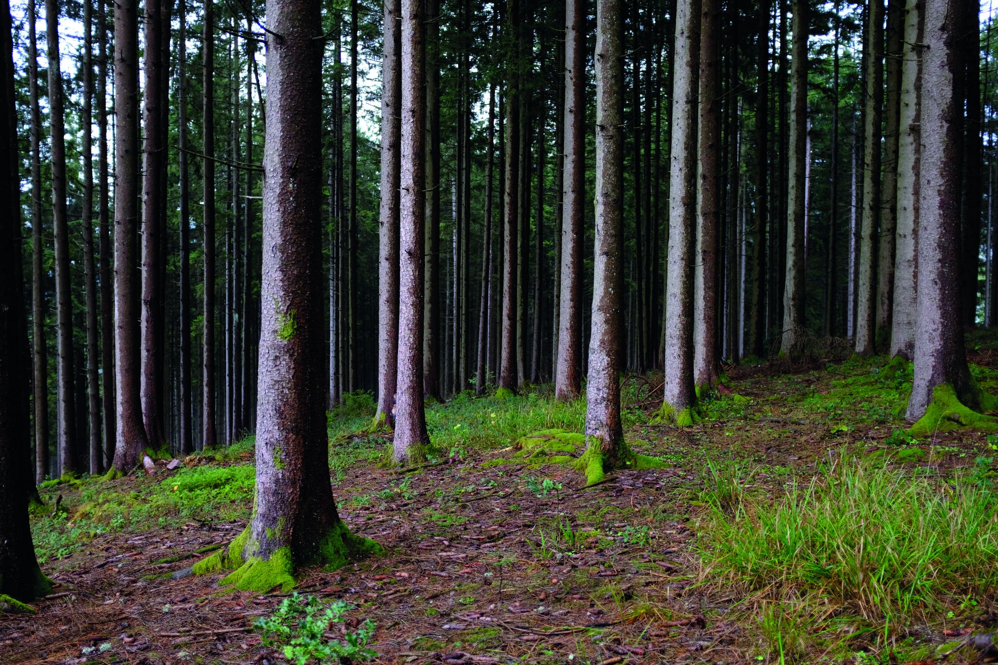
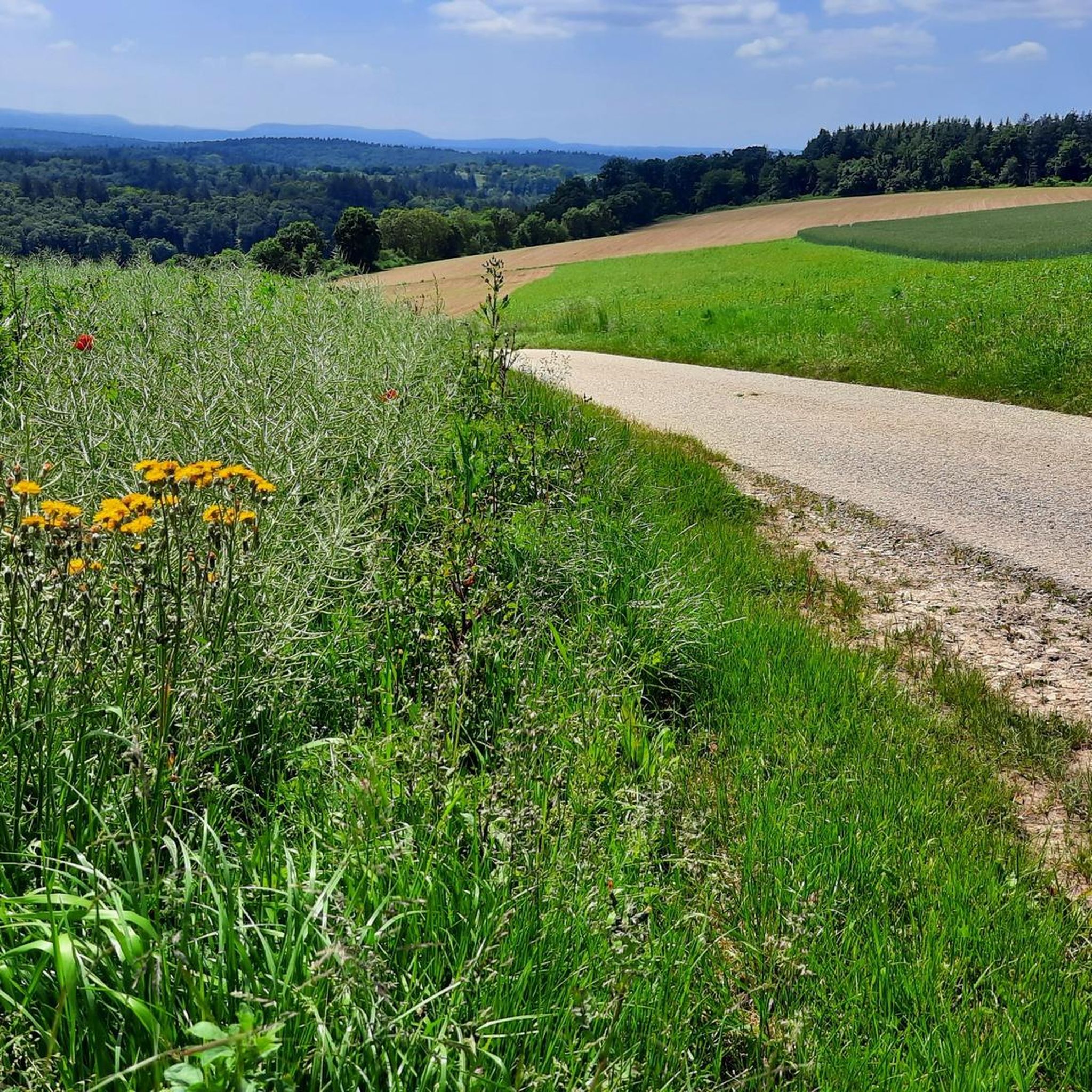
Hiking around Straubenhardt offers diverse landscapes characterized by verdant hills and valleys, blanketed by dense forests. The region features babbling streams and provides panoramic views from various elevated points. Its geographical position marks a transition from the Black Forest scenery to the wide meadows of the Pfinzgau, with natural forest canyons adding to the geological interest.
Best hiking trails around Straubenhardt
- The most popular hiking route is Axtbach Trail – Panorama Trail Schwann-Conweiler loop from Eyach-und Rotenbachtal, a 9.7…
Last updated: October 8, 2026
4.8
(48)
169
hikers
Moderate hike. Good fitness required. Easily-accessible paths. Suitable for all skill levels.
4.4
(39)
118
hikers
9.15km
02:34
190m
190m
Moderate hike. Good fitness required. Easily-accessible paths. Suitable for all skill levels.

4.5
(21)
86
hikers
Moderate hike. Good fitness required. Easily-accessible paths. Suitable for all skill levels.
4.8
(25)
89
hikers
Easy hike. Great for any fitness level. Easily-accessible paths. Suitable for all skill levels.
4.1
(10)
45
hikers
Moderate hike. Good fitness required. Easily-accessible paths. Suitable for all skill levels.
Get access to more routes and recommendations from other explorers.
Already have an account?
Our route recommendations are based on thousands of hikes, rides, and runs completed by other people on komoot.
Start today with a free account
Your next adventure awaits.


Other adventures around Straubenhardt

Tips from the Community


Large clearing with a meadow at the edge of the forest trail.
5
0
Glider airfield with fantastic views. On weekends, you can watch the flight operations from the walking path.
2
0
In clear weather, fantastic panoramic views over Karlsruhe to the Palatinate mountains, over Kraichgau to Stromberg and to the Stuttgart TV tower. Definitely include it on a tour in the area.
4
0
Beautiful path above the glider airfield. The name says it all. In clear weather, fantastic panoramic views over Karlsruhe to the Palatinate mountains, over the Kraichgau to the Stromberg and to the Stuttgart TV tower. Definitely include it on a tour in the area.
4
0

Wonderful view into the distance
0
0

A bench offers a view of the first hills of the Northern Black Forest. In the valley below, the Enz River winds its way through the landscape. Opposite lies the hilltop district of Waldrennach, recognizable by its distinctive water tower. The path continues to the nearby Waldenburg castle.
0
0

Nice resting place when the sun is shining, a little too exposed in bad weather, in German: It's raining horizontally :-)
1
0
Frequently Asked Questions
How many hiking trails are available in Straubenhardt?
Straubenhardt offers a wide selection of over 140 hiking routes, catering to various preferences and fitness levels. You'll find everything from leisurely strolls to more challenging treks through diverse landscapes.
What kind of terrain and difficulty can I expect on Straubenhardt's hiking trails?
The trails in Straubenhardt range from easy to difficult, with 96 easy, 41 moderate, and 3 difficult routes. You can expect diverse terrain, including verdant hills, dense forests, and serene stream valleys. Many paths offer panoramic views and transition from typical Black Forest scenery to wide meadows.
Are there any family-friendly hiking options in Straubenhardt?
Yes, Straubenhardt has numerous easy routes suitable for families. These trails often feature gentle inclines and lead through pleasant forests and meadows. While specific family-focused routes aren't highlighted, the abundance of easy trails provides plenty of options for a relaxed outing with children.
Can I bring my dog on the hiking trails in Straubenhardt?
Straubenhardt's natural landscapes are generally welcoming for dogs. Most trails, especially those through forests and open fields, are suitable for walks with your canine companion. Always ensure your dog is on a leash where required and respect local wildlife and other hikers.
Are there any circular hiking routes in Straubenhardt?
Yes, Straubenhardt is known for its excellent circular routes. The region research highlights the Three-Valley Route Straubenhardt (approx. 15.2 km) and the Rundwanderweg Ruine Straubenhardt - Herzogswiesen (approx. 9 km) as popular circular options. Many komoot tours, such as the Axtbach Trail – Panorama Trail Schwann-Conweiler loop, are also designed as loops.
What are some scenic viewpoints or natural features to look out for?
Straubenhardt boasts several scenic spots. The Schwanner Warte viewpoint is a popular starting point for many hikes, offering magnificent panoramic views. You can also explore natural forest canyons like "The Big Hole," a recognized natural monument, and enjoy babbling streams with crystal clear water throughout the region.
Are there any historical landmarks or attractions along the hiking trails?
Yes, you can discover several interesting landmarks. The Three-Valley Route Straubenhardt passes by the Roman Three-Gods Stone in Conweiler. The Schwanner Watchtower – Waldenburg Ruins loop explores historical ruins. Additionally, the Schweinbachtal-Trail meanders past the historic Hirsau monastery complex.
Are there any waterfalls in the Straubenhardt area?
Yes, the region around Straubenhardt features some beautiful waterfalls. You can visit the Laufbach Waterfalls or the Lickbrunnen Waterfall, which are notable natural highlights in the vicinity.
Where can I find places to rest or eat during my hike?
For a pleasant stop with fantastic panoramic views of the Black Forest, consider visiting the Teufelsmühle Mountain Inn. There are also several huts and shelters in the area, such as the Hahnenfalz hut and the Five Trees Shelter, providing convenient resting spots.
What do other hikers enjoy most about hiking in Straubenhardt?
The area is highly rated by the komoot community, with an average score of 4.5 stars from over 590 reviews. Hikers often praise the diverse landscapes, the well-marked trails, and the beautiful panoramic views from various elevated points. The transition from Black Forest scenery to wide meadows is also frequently highlighted.
Is there parking available near the trailheads in Straubenhardt?
Yes, parking is generally available at popular starting points for hikes in Straubenhardt. While specific parking lots aren't listed, the community is well-equipped for visitors, and you'll typically find designated parking areas near trailheads, especially at well-known spots like the Schwanner Warte.
What is the best time of year to go hiking in Straubenhardt?
Straubenhardt offers enjoyable hiking experiences throughout much of the year. Spring brings lush greenery and blooming wildflowers, while autumn provides vibrant fall foliage. Summer is ideal for longer days and warmer weather, and even mild winter days can be pleasant for a crisp walk through the snow-dusted forests.
Most popular routes around Straubenhardt
Most popular attractions around Straubenhardt

Get inspired with the komoot mobile app


Explore more
Browse the best Hikes in other regions.
