Routes

Planner

Features

Updates

App

Login or Signup

Get the App

Login or Signup

Routes
Hikes
Italy
Veneto
Treviso

Fregona

The best walks and hikes around Fregona

4.5

(958)

4,304

hikers

151

hikes

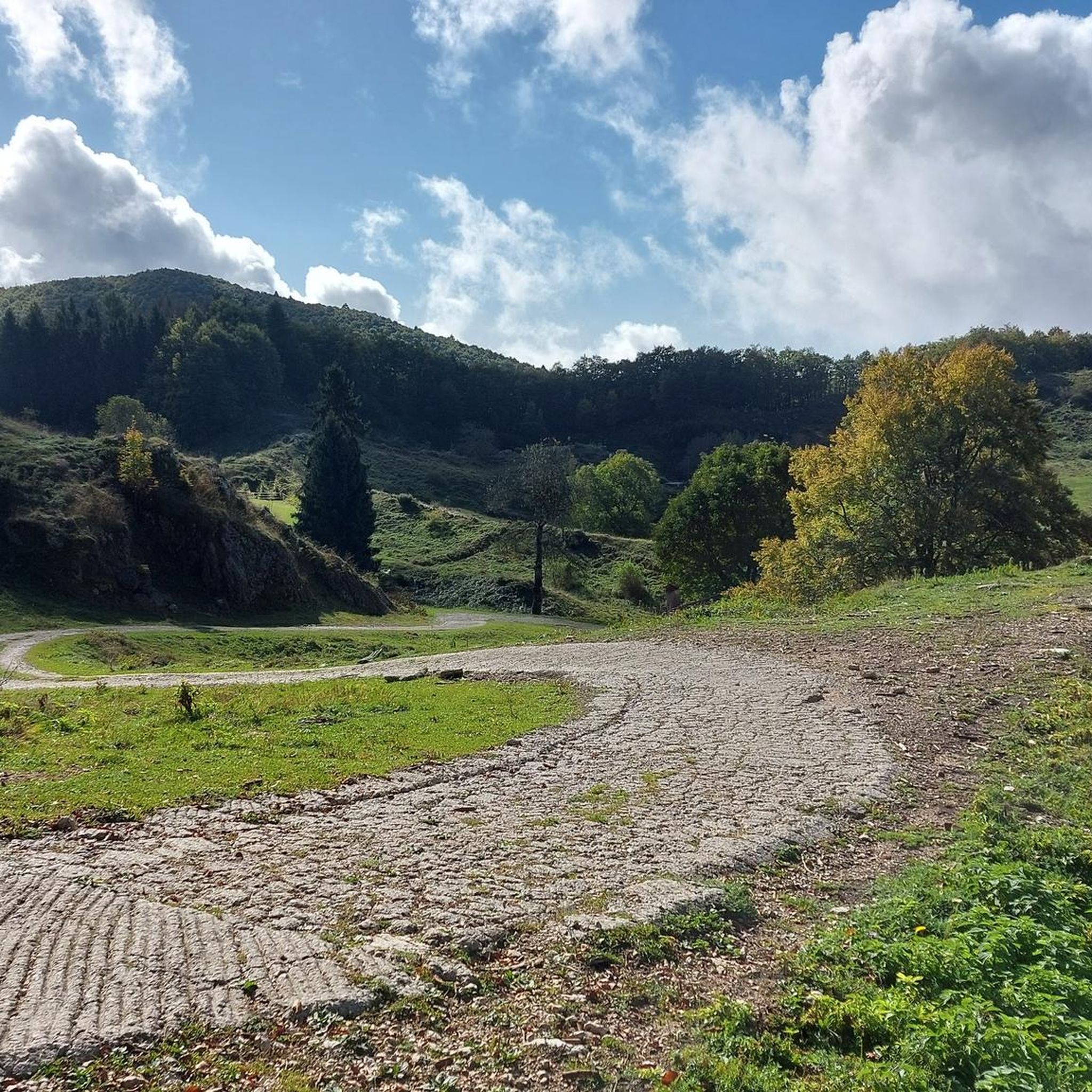
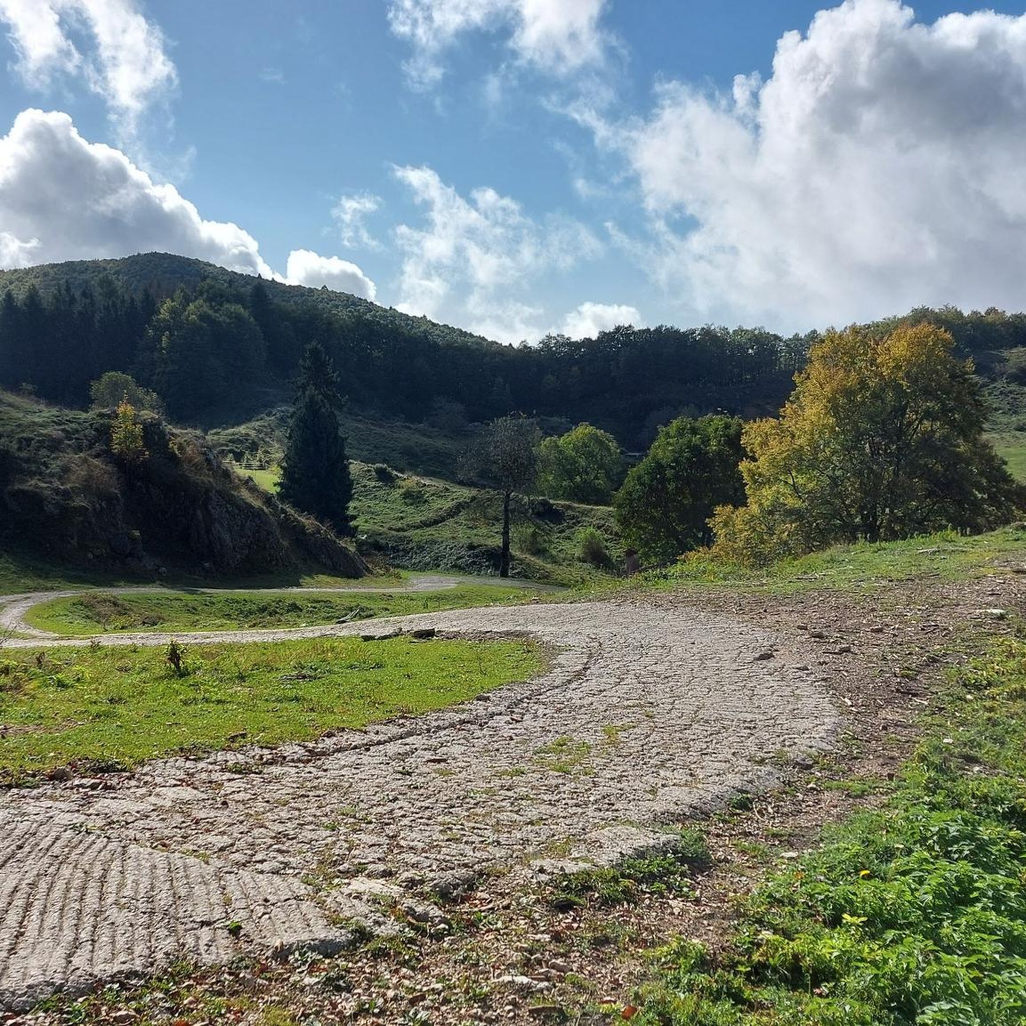
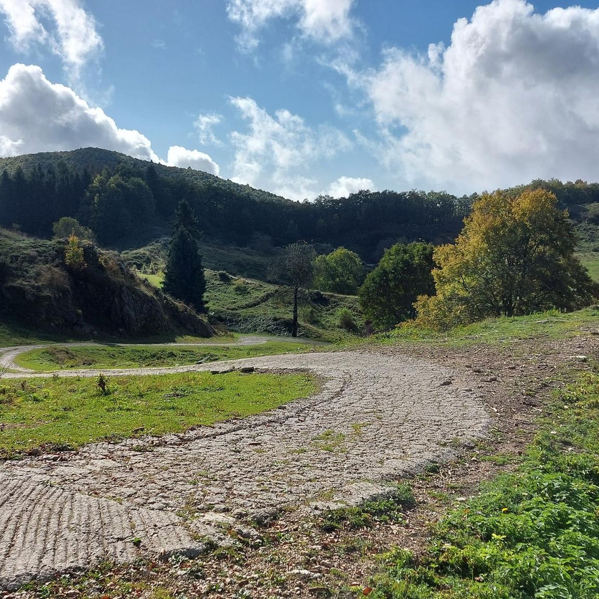
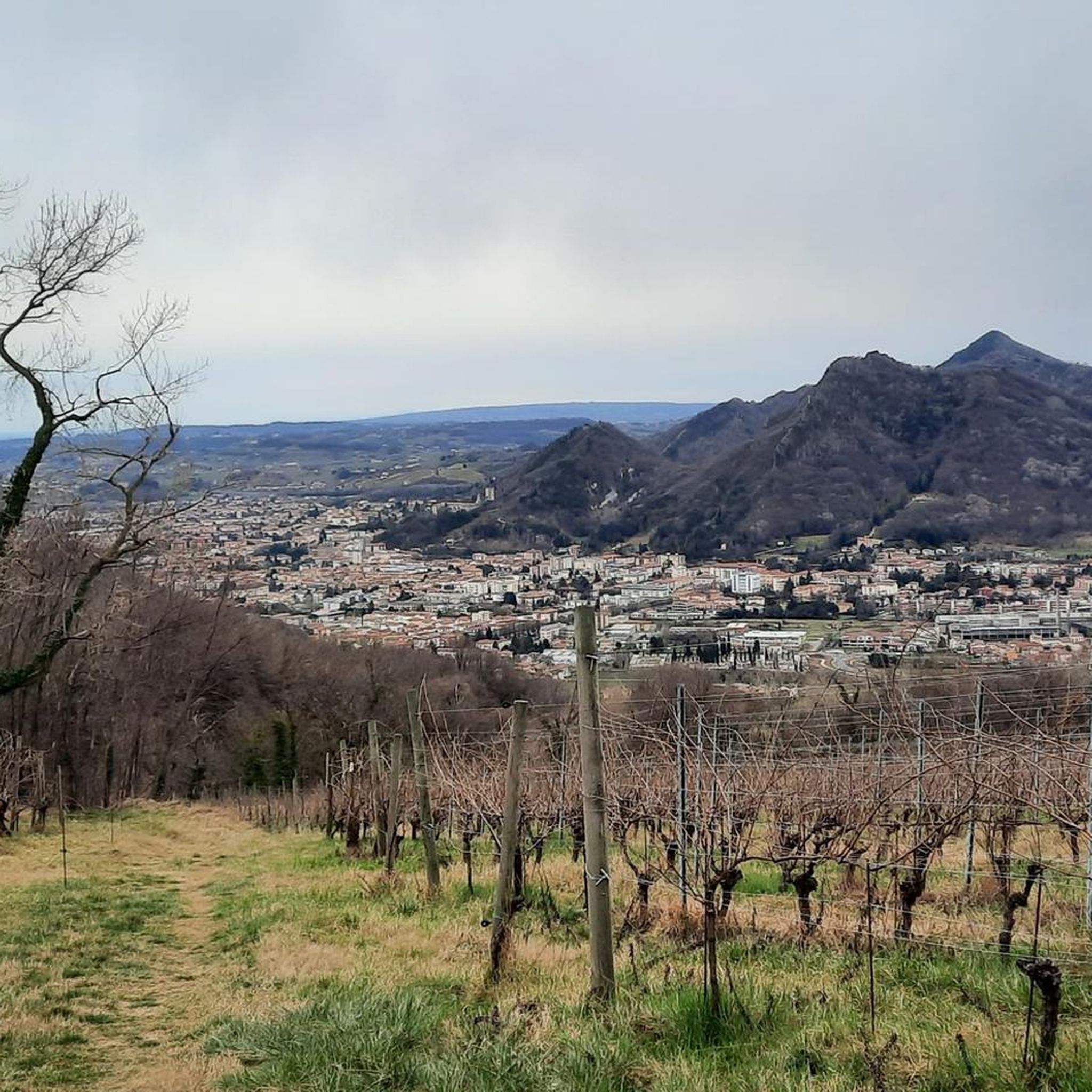
Hiking around Fregona offers diverse terrain characterized by extensive forests, picturesque lakes, and varied elevations. The region features well-maintained paths suitable for exploring natural surroundings, including forest tracks and trails around water bodies. Hikers can experience a mix of landscapes, from dense woodlands to open viewpoints, providing a range of Fregona hiking trails difficulty elevation terrain.

Best hiking trails around Fregona

  • The most popular hiking route is H3 Nature Trail, a 10.2 miles (16.5 km) trail that takes 5 hours 13 minutes to complete. This difficult route features significant elevation changes.
  • Another top favourite among local hikers is Cansiglio Forest Trail (Itinerario 3 - Ai confini della Serenissima), a moderate 5.4 miles (8.7 km) path. This trail leads through the Cansiglio Forest, offering a pleasant woodland experience.
  • Local hikers also love the Monte Pizzoc da Sonego – loop hike, a 6.8 miles (11.0 km) trail leading through mountainous terrain, often completed in about 5 hours 39 minutes.
  • Hiking around Fregona is defined by extensive forests, scenic lakes, and varied hills. The network offers options for different ability levels, from moderate forest paths to more challenging mountain ascents.
  • The routes in Fregona are highly rated by the komoot community with an average score of 4.5 stars from over 800 reviews. More than 3,900 hikers have used komoot to explore Fregona's varied terrain.

Last updated: July 7, 2026

4.7

(66)

237

hikers

#1.

H3 Nature Trail

16.5km

05:14

430m

430m

The H3 Nature Trail offers a challenging hiking experience through varied landscapes, including dense woods, open clearings, and expansive pastures. This difficult route covers 10.2 miles (16.5 km) and involves a significant elevation gain of 1406 feet (428 metres). You should plan for approximately 5 hours and 13 minutes to complete the journey. From the summit of Monte Pizzoc, you can enjoy sweeping panoramic views that extend from the Euganean Hills all the way to the Venetian Lagoon on clear days. The trail also leads to Malga Mezzomiglio, where you will find stunning vistas overlooking Lake Santa Croce and the Alpago Prealps.

Before you set out on the H3 Nature Trail, make sure you are well-prepared for its challenging conditions. Some sections of the trail can be muddy and slippery, especially if you hike in autumn, so sturdy hiking boots are essential. Carrying trekking poles is highly recommended to help with stability on uneven terrain. Additionally, navigation can be tricky due to poor signage along the route. It is advisable to carry a GPS app on your phone or a dedicated device to ensure you stay on track throughout your hike.

This trail is notable for its diverse natural environment within the Foresta del Cansiglio. You will traverse through different ecosystems, experiencing both dense forest and wide-open spaces. The journey provides a unique opportunity to witness the expansive beauty of the region, from distant hills to significant bodies of water. The combination of demanding physical effort and rewarding scenic views makes this a distinctive and memorable hike for those seeking a true outdoor adventure.

Navigate with device

Send to Phone

Save

Hard

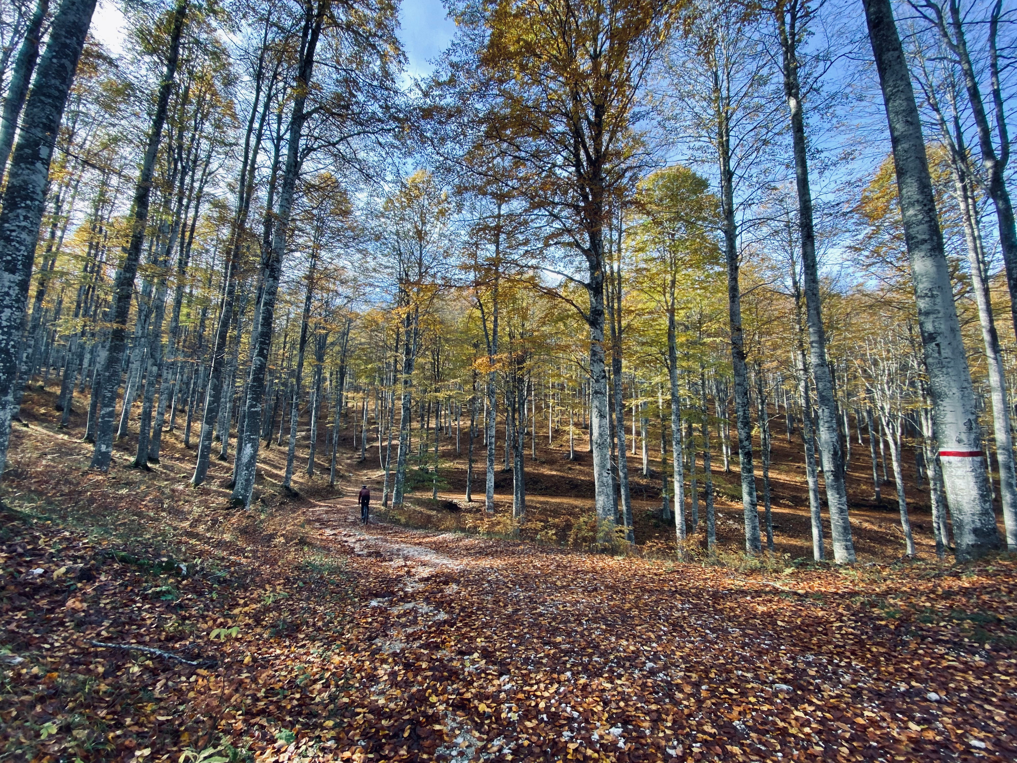
Embark on a moderate hike through the Cansiglio Forest, following Itinerario 3 - Ai confini della Serenissima. This route covers 5.4 miles (8.7 km) with an elevation gain of 1015 feet (309 metres), typically taking around 2 hours and 56 minutes to complete. You will find yourself immersed in ancient beech groves, walking beneath tall canopies that create a peaceful atmosphere. The trail leads you to Casera Sponda Alta, a traditional alpine hut deep in the woods, offering a quiet spot to pause. Expect mostly dirt roads, where the silence is often broken only by the sounds of nature.

To begin your adventure, head to La Crosetta, where you will find convenient parking right at the trailhead. This makes starting your hike straightforward and hassle-free. The route is generally accessible, but always check local conditions before you go, especially during shoulder seasons. Planning to start early in the morning can enhance your experience, allowing you to enjoy the tranquility of the forest.

This trail offers a unique glimpse into history, tracing the ancient borders of the Venetian Republic. The Cansiglio Forest was historically known as the "Bosco da Reme," providing long beech tree trunks for the oars of Venetian galleys. As you hike, keep an eye out for local wildlife, such as deer and roe deer, which are often seen in these quiet woodlands. The presence of a secluded pond also adds to the natural charm of the area.

Moderate
guide_signup
Let us show you the way with the komoot mobile app
With a free komoot account, you can easily find, customize, and navigate endless outdoor adventures.

Sign up for free

4.7

(47)

170

hikers

18.1km

06:03

490m

490m

Embark on the H3 Nature Trail, a difficult hike that takes you through the varied terrain of the Cansiglio forest. You will cover 11.3 miles (18.1 km) and ascend 1595 feet (486 metres), a journey estimated to take around 6 hours and 2 minutes. The route winds through dense beech woods, which are particularly striking in autumn, before reaching the historic Cimbrian village of Vallorch with its distinctive wooden houses. As you climb, you will experience the changing atmosphere of the forest. The challenging ascent culminates at the summit of Monte Pizzoc, also known as "Piazza della Pace," where you are rewarded with expansive 360-degree panoramic views stretching from the Veneto Dolomites to the Gulf of Trieste. This trail offers a truly rewarding experience for those seeking a demanding outdoor adventure.

Planning your hike on this route requires some preparation to ensure a smooth trip. Navigation can be tricky because of many intersecting paths and unclear markings, so it is wise to bring a digital device with offline maps and GPS. Be aware that cell service can be unreliable in some areas along the way. If you plan to hike in winter, be prepared for icy patches that might require crampons for safety. The Rifugio Città di Vittorio Veneto, located near the summit, provides a welcome resting point and refreshments, typically open from late spring to early autumn.

This trail is set within the Foresta del Cansiglio, an area known for its rich natural environment. As you hike, keep an eye out for local wildlife such as roe deer and foxes, which are often seen in these woods. The summit of Monte Pizzoc itself holds historical significance, being referred to as "Piazza della Pace," or "Peace Square." This route offers a deep dive into both the natural beauty and the subtle historical layers of the region, making it a notable journey for experienced hikers.

Hard

4.4

(28)

150

hikers

Embark on the Monte Pizzoc da Sonego loop hike, a difficult route known for its challenging terrain and significant elevation gain. You will navigate varied paths, from dense beech forests to sections with a rocky base and even a lunar landscape of grass and stones. This strenuous 6.8-mile (11.0 km) journey involves climbing 3698 feet (1127 metres) and typically takes around 5 hours and 39 minutes to complete. From the summit, often called "Piazza della Pace," you are rewarded with expansive panoramic views stretching across the Alpago Mountains, the Veneto Dolomites, and the Revine Lakes.

This loop hike requires very good fitness and sure-footedness, as you will encounter strong gradients and challenging sections. Be prepared for rustic paths, some of which can be muddy, especially if you choose variants like the "Bracconiere" route. While the research does not specify trailhead access or parking details, ensure you plan for a full day of hiking given the duration and difficulty. Always check local conditions before you set out.

Monte Pizzoc, standing at 1,565 metres, is one of the highest points in the Treviso Pre-Alps, making its summit a notable destination. The Rifugio Città di Vittorio Veneto near the top offers a welcome stop for hikers. Beyond the natural beauty, the area holds historical significance, with trails like the "Lieutenant Berry" path linked to partisan resistance during World War II. On clear days, the panoramic views from the summit can extend dramatically from the Gulf of Trieste to the Euganean Hills.

Hard

4.1

(8)

38

hikers

Hike the moderate Terra Nera and Nino Lot Trail Loop, covering 6.1 miles with 2439 feet of elevation gain in Fregona, Italy.

Moderate
Sign up for free to see 147 more hikes around Fregona.

Get access to more routes and recommendations from other explorers.

Sign up for free

Already have an account?

Our route recommendations are based on thousands of hikes, rides, and runs completed by other people on komoot.

Start today with a free account

Your next adventure awaits.
Login or Signup

Popular around Fregona

3 gravel routes in the Cansiglio forest

Cycling around Fregona

Gravel biking around Fregona

Road Cycling Routes around Fregona

MTB Trails around Fregona

Running Trails around Fregona

Mountain Hikes around Fregona

Other adventures around Fregona

3 gravel routes in the Cansiglio forest

Cycling Collection by

Prisca

Tips from the Community

Ferdy Nando🏔️🧗🚴
April 9, 2026, Casera Sponda Alta

Casera Sponda Alta, now reduced to a ruin.

Translated by Google

0

0

Andrea
December 6, 2025, Agriturismo Le Crode

Highly recommended. They're trying to stay open in the winter, so you can stop by for lunch or even just a snack, like we did, with bread and an excellent soppressa washed down with a craft beer. Oh... we even took a soppressa home with us.

Translated by Google

0

0

Chiara
November 18, 2025, Monte Pizzoc

Very beautiful if the sky is clear, very suggestive if it is cloudy

Translated by Google

0

0

Pizzoc is a mountain in the Treviso Prealps. It reaches 1,565 meters above sea level, making it one of the highest points in the municipality of Fregona and the province of Treviso, to which it belongs.

Translated by Google

0

0

love2bike
August 5, 2025, Monte Pizzoc

beautiful panoramic summit near the Rigugio

Translated by Google

0

0

I found this place perfect for a break and to enjoy the view it offers; there are benches with tables perfect for a totally relaxed lunch. Today there was a cool breeze, with the sun it was great.

Translated by Google

0

1

This viewpoint allows you to enjoy a fantastic 360° panorama, easy to reach, there are benches with tables for any lunch break, very large. beautiful.

Translated by Google

0

0

Beautiful location overlooking the plain, at about 1,570m even in summer you can enjoy a cool and relaxing climate. Perfect refreshment point.

Translated by Google

0

0

Frequently Asked Questions

How many hiking trails are available in Fregona?

Fregona offers a wide selection of hiking opportunities, with over 140 trails to explore. These range from easy walks to more challenging mountain ascents, catering to various skill levels.

What kind of terrain can I expect on Fregona's hiking trails?

The hiking trails in Fregona are characterized by extensive forests, picturesque lakes, and varied elevations. You'll find well-maintained forest tracks, paths around water bodies like Lake Morto, and more mountainous terrain, offering a diverse experience.

Are there easy hiking options suitable for beginners or leisurely walks?

Yes, Fregona has numerous easy hiking options. There are 28 trails classified as easy, perfect for those looking for a relaxed stroll through the natural surroundings without significant elevation changes.

Are there challenging hikes for experienced hikers in Fregona?

For experienced hikers seeking a challenge, Fregona offers 35 difficult routes. An example is the Monte Pizzoc da Sonego – loop hike, which covers 11 km with substantial elevation changes, typically taking around 5 hours 39 minutes to complete.

What natural landmarks or viewpoints can I discover on Fregona's trails?

Fregona's trails lead to various natural landmarks. You can explore the unique Pian delle Femene Saddle, or enjoy scenic views from areas like Monte Pizzoc. The region is also known for its captivating natural caves, such as the Grotte del Caglieron, which offer a unique natural experience.

Are there any trails that feature lakes or water bodies?

Yes, the Fregona area is home to several picturesque lakes. While Lake Santa Croce is popular for water sports, Lake Morto provides a serene setting with a path allowing visitors to circumnavigate it, ideal for leisurely walks and enjoying the landscape.

What do other hikers say about Fregona's trails?

The hiking routes in Fregona are highly rated by the komoot community, with an average score of 4.5 stars from over 870 reviews. Hikers often praise the varied terrain, from dense woodlands to open viewpoints, and the well-maintained paths.

Are there circular hiking routes available in Fregona?

Yes, Fregona offers several circular hiking routes. A notable example is the Monte Pizzoc da Sonego – loop hike, which allows you to start and end at the same point, providing a convenient way to explore the mountainous terrain.

Is public transport available to reach hiking trailheads in Fregona?

While specific public transport options directly to all trailheads can vary, Fregona is an Italian municipality, and local bus services typically connect the main town to nearby villages. It's advisable to check local transport schedules for the most up-to-date information on reaching specific starting points.

Where can I find parking near Fregona's hiking trails?

Parking is generally available in and around the main town of Fregona and at designated spots near popular trailheads. For specific routes, look for parking areas indicated on komoot tour pages or local signage, especially for well-known trails like those leading into the Cansiglio Forest.

What is the best time of year to hike in Fregona?

The best time to hike in Fregona is typically during spring, summer, and early autumn. These seasons offer pleasant weather conditions for exploring the forests, lakes, and mountainous areas. Winter can also be beautiful, but some higher trails may be inaccessible due to snow.

Are Fregona's hiking trails dog-friendly?

Many of Fregona's natural trails, particularly those through forests and around lakes, are suitable for dogs. However, it's always recommended to keep dogs on a leash, especially in protected areas or where wildlife is present, and to check for any specific local regulations or signage on individual trails.

Most popular routes around Fregona

Cycling around Fregona

Most popular attractions around Fregona

Places to see

Store rating

Get inspired with the komoot mobile app

With a free komoot account, you can easily find, customize, and navigate endless outdoor adventures.

or

Join komoot Now

Store rating

Explore more

Browse the best Hikes in other regions.

Vittorio VenetoPieve del GrappaRevine LagoCison Di ValmarinoBorso Del GrappaValdobbiadeneCrespano Del GrappaMianeFollinaLake LakeFarra Di SoligoSegusinoNatural Park regionale del Fiume SileSuseganaSileaPossagnoCavaso Del TombaLake Santa MariaMaserPieve Di SoligoVolpago Del MontelloConeglianoCasierNervesa Della BattagliaCaerano Di San MarcoTarzoCasale Sul SileLake del RestelloAsoloRefrontoloSan VendemianoCarboneraCornudaCastelfranco VenetoPaeseGiavera Del MontelloQuinto Di TrevisoTrevignanoSan Pietro Di FelettoSernaglia Della BattagliaResanaPederobbaAltivoleCordignanoMoriago Della BattagliaCastelcuccoMorganoVidorOrmelleZps Prai Di GodegoMaserada Sul PiaveZps Campazzi Di OnigoVedelagoLoriaMonfumoSarmedeSanta Lucia Di PiaveRiese Pio XSan Zenone Degli EzzeliniSan Polo Di PiaveMontebellunaSan Biagio Di CallaltaGodega Di Sant'UrbanoMansuèRoncadePortobuffolèCappella MaggioreFonteBreda Di PiaveMogliano VenetoPonte Di PiaveZenson Di PiaveSalgaredaGaiarineCrocetta Del MontelloGorgo Al MonticanoVazzolaPreganziolVillorbaOderzoIstranaMareno Di PiaveZero BrancoColle UmbertoCastello Di GodegoCodognèPoveglianoArcadeMeduna Di LivenzaFontanelleMotta Di LivenzaOrsagoChiaranoCessaltoSpresianoCimadolmoSan FiorPonzano VenetoMonastier Di Treviso

Nearby adventure guides

Things to Do around Sarmede

background

Get ready to conquer new peaks

Sign up for Free

Explore
RoutesRoute plannerFeaturesHikesMTB TrailsRoad cycling routesBikepackingSitemap
Download the app
Follow Us on Socials

© komoot GmbH

Privacy Policy