The best MTB trails around Mogliano Veneto
4.3
(39)
250
riders
36
rides
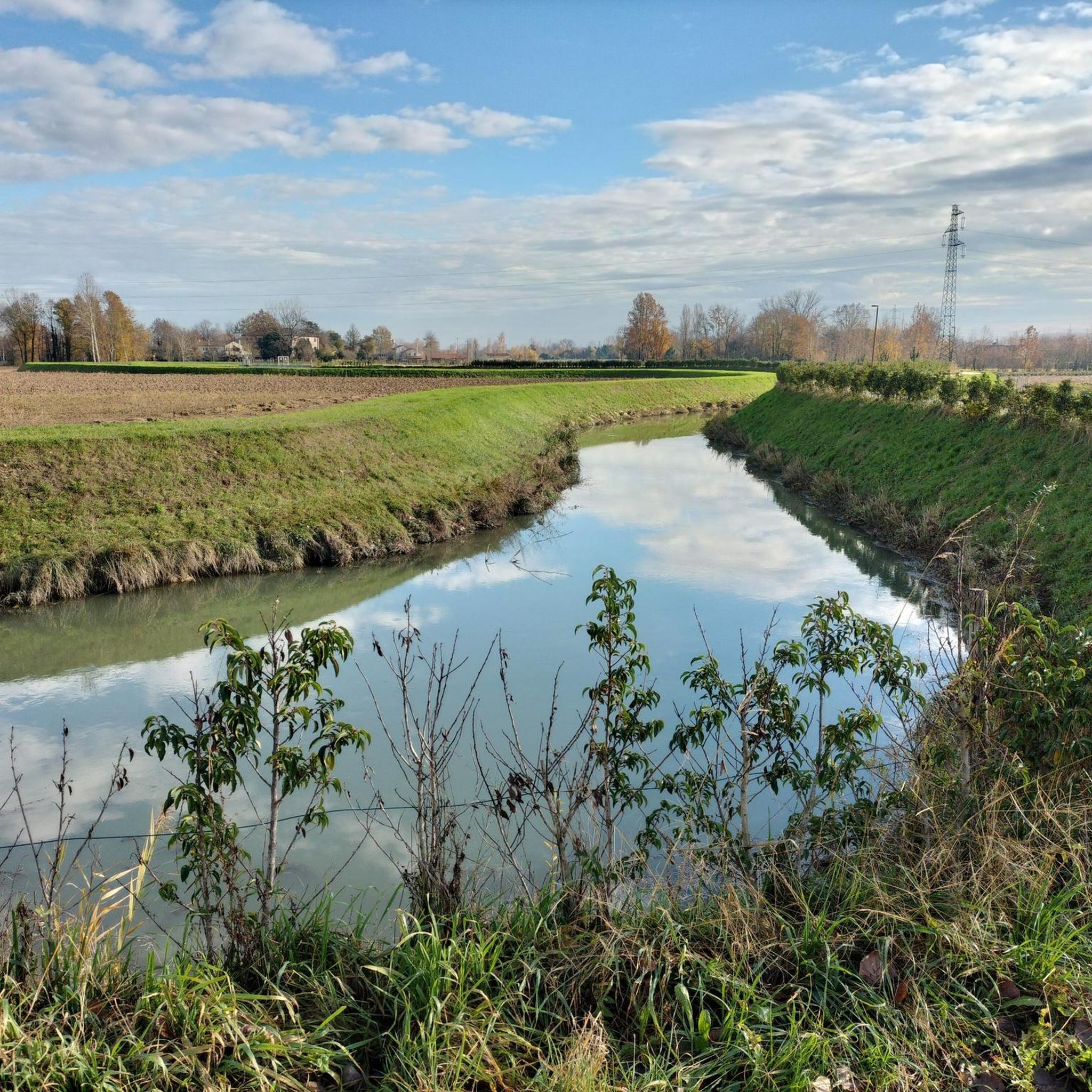
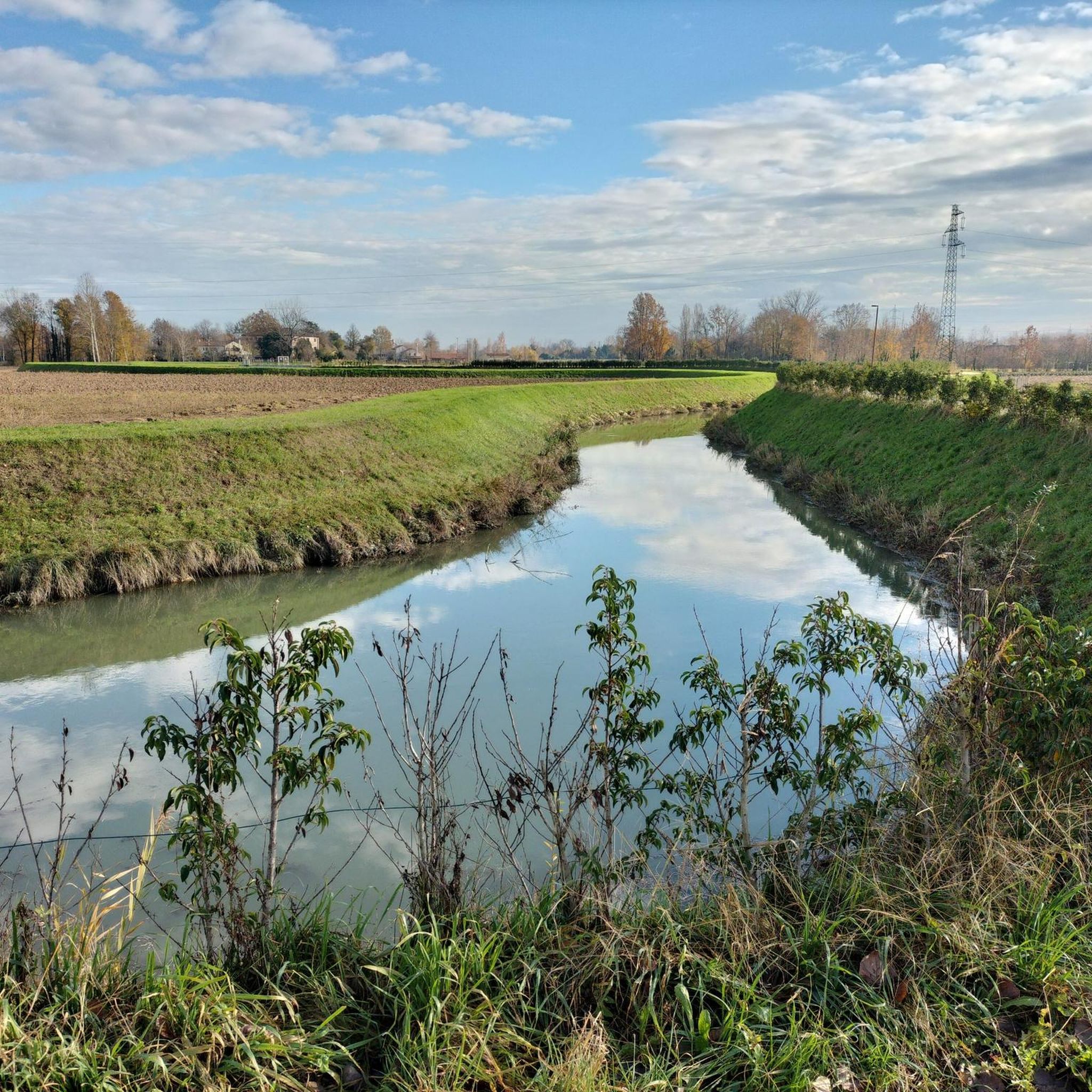
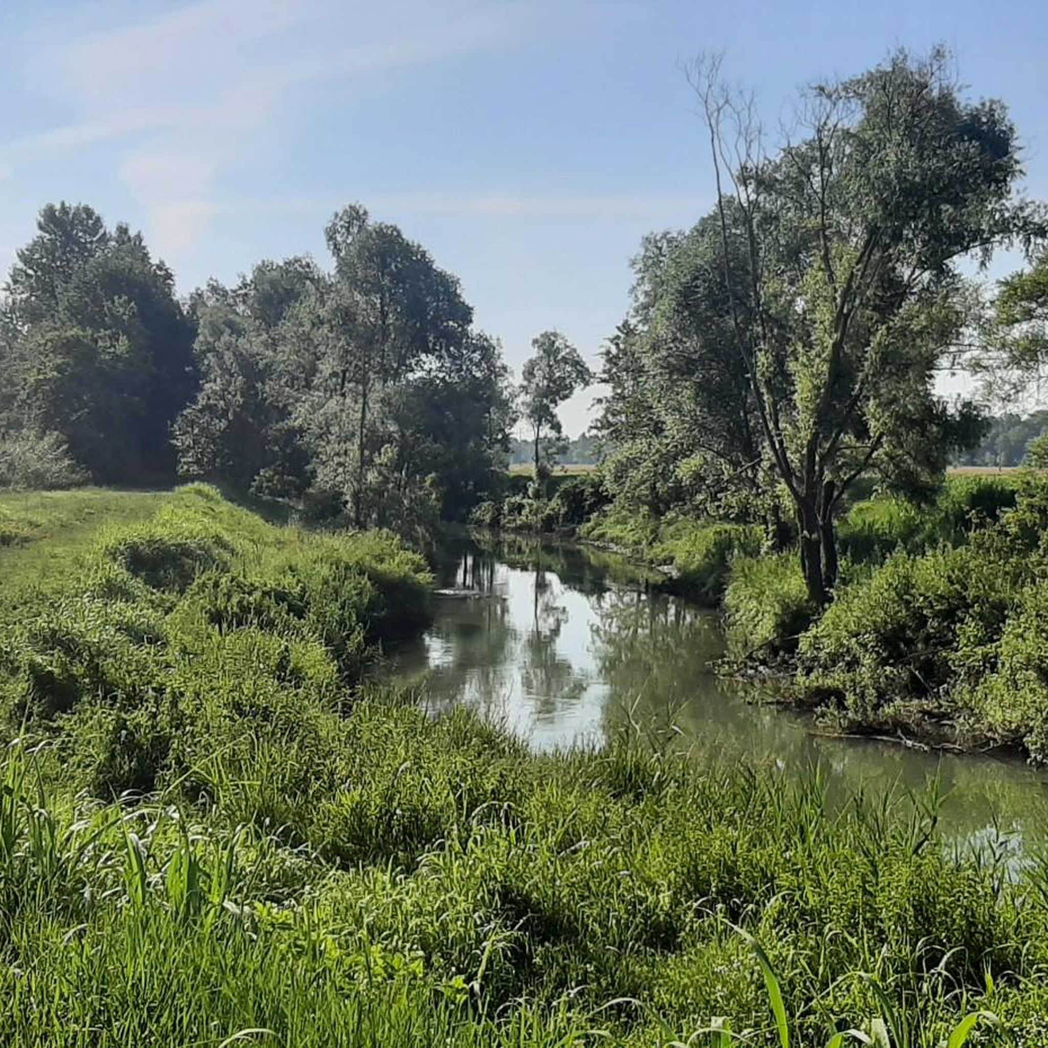
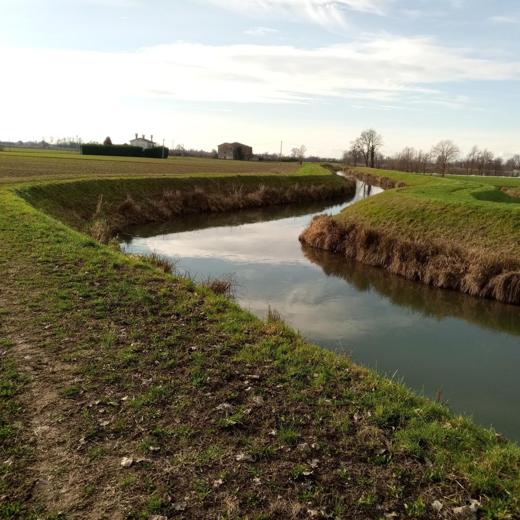
Mountain biking around Mogliano Veneto is characterized by its largely flat terrain, with elevations typically ranging from 2 to 16 meters above sea level. The region is rich in extensive waterways, including the Sile, Zero, and Dese rivers, which shape a landscape of canals and verdant countryside. This environment is ideal for less strenuous mountain biking and gravel riding, offering numerous well-developed cycling routes.
Best mountain bike trails in Mogliano Veneto
- The most popular mountain bike trail is Boat graveyard…
Last updated: August 14, 2026
4.5
(2)
31
riders
61.6km
03:49
90m
90m
Moderate mountain bike ride. Good fitness required. Suitable for all skill levels.
4.9
(7)
30
riders
Moderate mountain bike ride. Good fitness required. Suitable for all skill levels.

Sign up for free
5.0
(2)
20
riders
63.2km
03:31
90m
90m
Moderate mountain bike ride. Good fitness required. Suitable for all skill levels.
5.0
(1)
9
riders
69.2km
04:25
90m
90m
Moderate mountain bike ride. Good fitness required. Advanced riding skills necessary.
3.0
(2)
20
riders
49.3km
02:42
80m
80m
Moderate mountain bike ride. Good fitness required. Suitable for all skill levels.
Get access to more routes and recommendations from other explorers.
Sign up for free
Already have an account?
Our route recommendations are based on thousands of hikes, rides, and runs completed by other people on komoot.
Start today with a free account
Your next adventure awaits.
Login or Signup

Tips from the Community

The Il Mulino Todori (formerly Pamio) stands between the localities of Contea and Canove. The existence of a mill in this area has been known since 1455. Run by as many as three families, all belonging to the Todori branch of the Pamio family, it had three millstones: for maize, for wheat, and for the waste of corn and cobs. The mill was subsequently rebuilt by the noble Soranzo family, who created the adjoining manor house with the architectural characteristics typical of Venetian villas, of which the central trifora can still be identified. The milling activity definitively ceased in the early 1960s. The mill, today privately owned, is located within the Oasi Todori, a municipal green area inaugurated in 201. Characterized by high biodiversity, it currently occupies an area of 2.5 hectares as a refuge and protection area for various species of flora and fauna, including woodpecker, swallow, robin, blackbird, sparrow, finch, water rail. Among the tree species are field maple, hornbeam, poplar, willow, elder, and dogwood.
1
0

The Parco dei Laghetti di Martellago is a 54-hectare naturalistic oasis born from the environmental redevelopment of former sand and clay quarries. Located between Martellago and Maerne, it represents one of the main green lungs of the Venetian mainland. The area develops around four main bodies of water, which today host a rich ecosystem of protected flora and fauna, with tree species typical of wetlands and numerous wild birds, also monitored with the support of the WWF. Equipped with flat paths ideal for jogging, walking, and cycling tourism, the park includes equipped areas for picnics, children's play areas, and a refreshment point. With access from Via Fornace and Via Ca' Bembo, it is an ideal destination for leisure and relaxation, easily accessible and integrated into local cycle paths.
0
0

Altino: inhabited since the Bronze Age, it was a sanctuary of the Veneti in the Iron Age. The god Altino/Altno was worshipped here. The city of Altinum was built in the Roman Republic and had 20-30,000 inhabitants. It was located surrounded by canals near the lagoon and was an important trade hub between sea and land. Under Emperor Claudius (15 BC-46/47 AD), the Via Claudia Augusta was built, which had its starting point here and ran via Trento, Reschen, Fernpass and Augsburg to the Danube (near Donauwörth). In addition, it met the Via Annia from Aquileia here in Altinum. In 452, Attila destroyed the city, and subsequently, it served as a quarry for the city of Venice. The museum, including the archaeological excavations, is a must for history enthusiasts and highly recommended. Allow a good 2 hours for it.
0
0

One of the most beautiful flat cycle paths, here we are next to the sports facilities of Portegrandi
0
0
Because it is on one of the most beautiful flat cycle paths that connects Treviso with Jesolo up to Punta Sabbioni
0
0

Some images of the municipality of Casale sul Sile. https://it.wikipedia.org/wiki/Casale_sul_Sile
5
0
Bosco Zaher represents one of the most significant green areas in the urban belt of Mestre, serving as a fundamental ecological lung between the city and the lagoon. Located near Via Altinia, this floodplain forest is the result of an important reforestation project that has transformed former agricultural lands into an ecosystem rich in biodiversity. The area is characterized by dense vegetation of oaks, ash trees, and maples, interspersed with large clearings and wetlands that offer refuge to numerous species of avifauna and small mammals. It is the ideal place for those seeking tranquility without straying too far from the center, thanks to a network of well-maintained trails perfect for jogging, nature walks, or simple moments of outdoor relaxation. The forest not only has a recreational function but also plays a crucial role in environmental mitigation and improving the air quality of the Venetian territory.
0
0
The Ciclovia il GiraSile is a fascinating cycle-pedestrian path that follows the placid course of the Sile river, winding through the heart of the Regional Natural Park between Treviso and Jesolo. Immersed in a river landscape of rare beauty, the itinerary crosses wetlands, riparian woods, and historic villages, offering a regenerating escape in contact with biodiversity. The route is distinguished by the famous "Restera", the raised embankment where oxen once pulled barges upstream. Along the way, you will encounter the evocative cemeteries of the burci, ancient sunken boats that create an almost magical atmosphere. The path is flat and suitable for everyone, perfect for those seeking a slow experience amidst crystal-clear waters, Venetian villas, and the sweet song of local nature.
1
0
Frequently Asked Questions
How many mountain bike trails are available in Mogliano Veneto?
There are over 25 mountain bike trails around Mogliano Veneto listed on komoot, offering a variety of routes for different skill levels. You'll find 9 easy routes and 17 moderate routes, with no difficult trails, making the area accessible for many riders.
What is the typical terrain like for mountain biking in Mogliano Veneto?
The terrain around Mogliano Veneto is largely flat, with elevations typically ranging from 2 to 16 meters above sea level. The region is characterized by extensive waterways, including the Sile, Zero, and Dese rivers, and features verdant countryside. This makes it ideal for less strenuous mountain biking and gravel riding, often on dirt tracks and former railway lines.
Are there mountain bike trails suitable for beginners in Mogliano Veneto?
Yes, Mogliano Veneto offers 9 easy mountain bike routes, perfect for beginners or those looking for a relaxed ride. These trails typically feature flat terrain and well-developed paths, allowing riders to enjoy the scenic waterways and countryside without significant technical challenges.
What natural features or landmarks can I see while mountain biking in Mogliano Veneto?
While mountain biking in Mogliano Veneto, you can explore a rich network of waterways, including the Sile River, and discover historical sites. Notable attractions include the evocative Burci Boat Cemetery along the Sile River, the historic Cervara Bridge, and the scenic Cycle Path of the Former Treviso-Ostiglia Railway. You might also encounter beautiful historic villas and lush countryside.
Are there any circular mountain bike routes in Mogliano Veneto?
Yes, many of the mountain bike routes in Mogliano Veneto are designed as loops, allowing you to start and end at the same point. Examples include the Boat graveyard – Sile Towpath loop and the Sile River – Casale sul Sile Bell Tower loop, which offer scenic rides along the region's waterways.
What do other mountain bikers say about the trails in Mogliano Veneto?
The mountain bike trails in Mogliano Veneto are highly rated by the komoot community, with an average score of 4.2 stars from over 30 reviews. More than 250 mountain bikers have explored the area using komoot, often praising the peaceful routes along the Sile River and the pleasant, flat terrain suitable for all types of bicycles.
Can I find family-friendly mountain bike trails in Mogliano Veneto?
Absolutely. The largely flat terrain and numerous easy routes make Mogliano Veneto an excellent destination for family-friendly mountain biking. Paths along the Sile River, such as the Villa Fanio – Sile River at Casier loop, are often dirt tracks with shaded sections, providing a safe and enjoyable experience for all ages.
What is the best time of year for mountain biking in Mogliano Veneto?
Mogliano Veneto experiences a mild climate, with warm summers ideal for outdoor pursuits. Spring and autumn also offer pleasant conditions with milder temperatures, making them excellent times to explore the trails. While winter riding is possible, checking local weather conditions is always advisable.
Are there any trails that explore the lakes around Mogliano Veneto?
Yes, some routes venture near the region's lakes and natural areas. For instance, the Laghetti Park, Martellago – Todari Mill loop explores diverse landscapes, including areas around Laghetti Park. You can also find highlights like Martellago Lakes and Lago Verde of Villapendola.
Are there mountain bike routes that follow former railway lines?
Yes, the region utilizes its historical infrastructure for cycling. The Cycle Path of the Former Treviso-Ostiglia Railway offers a pleasant, mostly unpaved cycling experience away from traffic, providing a unique historical backdrop to your ride.
Can I find places to eat or drink near the mountain bike trails?
While specific cafes or pubs are not listed for every trail, the routes often pass through or near towns and villages like Casale sul Sile, where you can find amenities. The region's focus on tourism means you'll likely find options for refreshments in local centers.
What is the longest mountain bike route available in Mogliano Veneto?
One of the longer routes is the Boat graveyard – Sile Towpath loop from Stazione di Mogliano Veneto, which covers approximately 76.6 km (47.6 miles) and typically takes around 4 hours and 8 minutes to complete.
Most popular routes around Mogliano Veneto
Most popular attractions around Mogliano Veneto

Get inspired with the komoot mobile app


Explore more
Browse the best MTB trails in other regions.
