The best walks and hikes around Badia Polesine
4.3
(53)
176
hikers
31
hikes
Hiking around Badia Polesine offers routes through the flat, fertile plains of the Po Valley, defined by the presence of the Adige River. The landscape features agricultural areas, riverbanks, and small towns. Elevation changes are generally minimal, providing accessible terrain for various hiking abilities. The region's trails often incorporate historical elements and natural waterways.
Best hiking trails around Badia Polesine
- The most popular hiking route is Adige River and Vangadizza Abbey Loop, a 7.6 miles (12.3 km) trail that…
Last updated: October 10, 2026
5.0
(4)
9
hikers
12.3km
03:06
20m
20m
Moderate hike. Good fitness required. Easily-accessible paths. Suitable for all skill levels.
5.0
(3)
11
hikers
12.4km
03:07
10m
10m
Moderate hike. Good fitness required. Easily-accessible paths. Suitable for all skill levels.

4.0
(1)
8
hikers
5.25km
01:20
10m
10m
Easy hike. Great for any fitness level. Easily-accessible paths. Suitable for all skill levels.
4.5
(4)
8
hikers
5.16km
01:18
10m
10m
Easy hike. Great for any fitness level. Easily-accessible paths. Suitable for all skill levels.
5
hikers
7.87km
02:00
20m
20m
Easy hike. Great for any fitness level. Easily-accessible paths. Suitable for all skill levels.
Get access to more routes and recommendations from other explorers.
Already have an account?
Our route recommendations are based on thousands of hikes, rides, and runs completed by other people on komoot.
Start today with a free account
Your next adventure awaits.

Tips from the Community

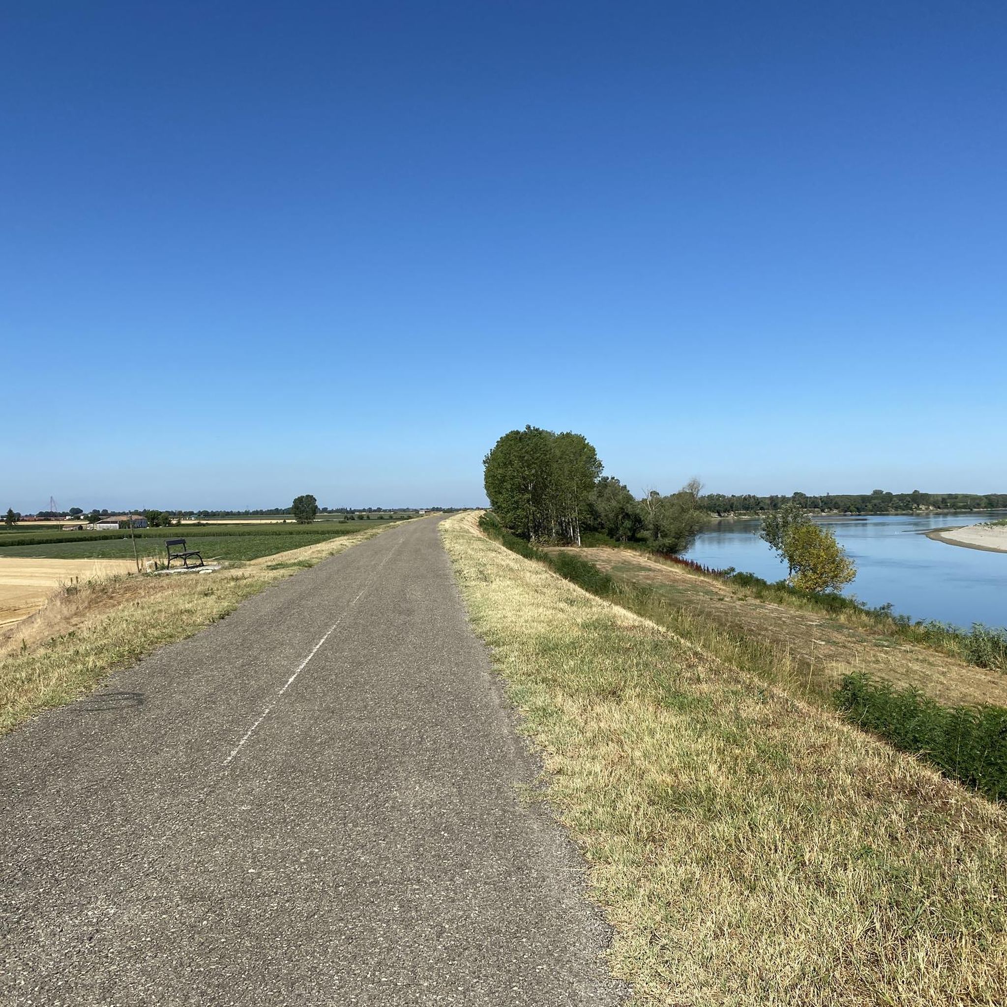
If you are on the street and the water runs out, here is a fountain and a shaded bench! Nearby there is also a bakery and a bar. Welcome to Spinimbecco.
0
0

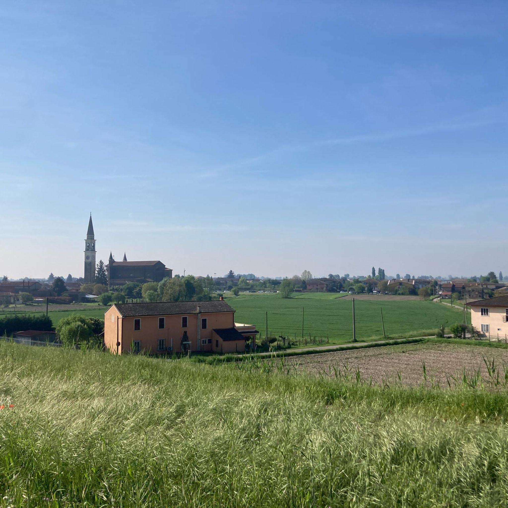
The Vangadizza abbey dates back to the 9th-10th century. In 1810 it underwent a partial demolition from which only an apse chapel and the leaning bell tower survived.
1
0
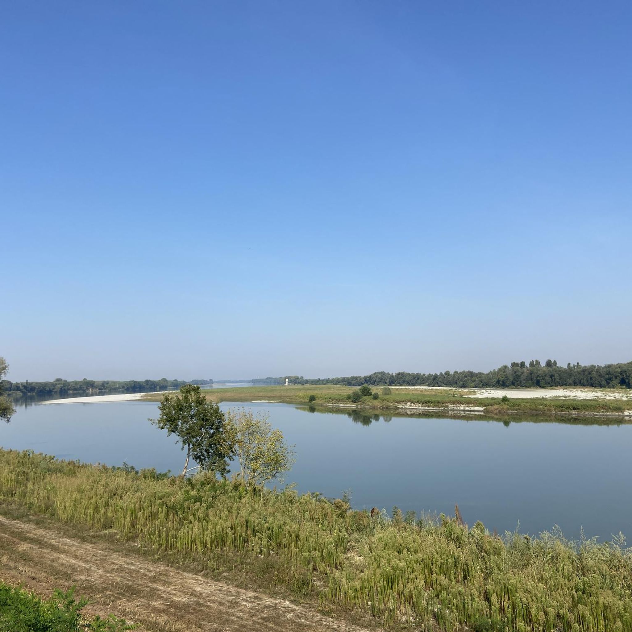
A stone's throw from the Adige and not far from the town of Badia Polesine, it opens up to the plain at 360° and we can admire the beautiful panoramas.
1
0

we have almost reached Badia Polesine. It is worth stopping to visit the Badia, and rest in a bar in the centre.
1
0

Larger town on the Etsch cycle path between Verona and Rosalina Mare. Ideal for an overnight stay.
3
1
Frequently Asked Questions
How many hiking trails are available around Badia Polesine?
There are 14 hiking trails in the Badia Polesine area, offering a variety of options for exploring the flat, fertile plains of the Po Valley. These routes are well-regarded by the komoot community, with an average rating of 4.7 stars.
Are there easy hiking routes suitable for beginners in Badia Polesine?
Yes, Badia Polesine offers 6 easy hiking routes, perfect for beginners or those seeking a relaxed walk. The terrain is generally flat with minimal elevation changes, making it accessible. An example is the Casin de Meole Ruins – Abandoned Brick Building loop from Locanda Ca'Vejo, which is 3.7 miles (5.9 km) long.
What kind of terrain can I expect on hikes in Badia Polesine?
Hikes in Badia Polesine primarily feature the flat, fertile plains of the Po Valley. You'll encounter agricultural areas, riverbanks along the Adige River, and small towns. Elevation changes are minimal, providing generally accessible and gentle terrain.
Are there any circular hiking routes in Badia Polesine?
Many of the trails around Badia Polesine are designed as loops, allowing you to start and end at the same point. For example, the popular Adige River and Vangadizza Abbey Loop is a circular route that takes you past historical sites.
What historical sites or landmarks can I see while hiking in Badia Polesine?
The region's trails often incorporate historical elements. You can explore sites like the Vangadizza Abbey along the Adige River. Other nearby attractions include Villa Badoer (Andrea Palladio), Torre Morosini, and the Mulino al Pizzon Ecomuseum.
Are there any longer hiking trails for experienced hikers?
While the terrain is generally flat, there are moderate routes that offer longer distances. The Capitel de la Morosa loop from Oni is a moderate 8.6 miles (13.8 km) path that winds through rural landscapes and along local waterways, taking around 3.5 hours to complete.
Is Badia Polesine suitable for family-friendly hikes?
Yes, the flat and accessible nature of many trails makes Badia Polesine suitable for families. The minimal elevation changes mean that even younger children can enjoy walks along riverbanks and through agricultural fields. Look for the 6 easy-rated trails for the most family-friendly options.
What is the best time of year for hiking in Badia Polesine?
The best time for hiking in Badia Polesine is typically during spring (April-May) and autumn (September-October). During these seasons, the weather is mild and pleasant, and the natural scenery of the Po Valley is at its most vibrant or colorful. Summers can be hot, and winters can be damp and foggy.
Are there options for public transport to reach hiking trailheads?
Badia Polesine is connected by local bus services, and the town also has a train station. While some trailheads might be accessible directly by public transport, it's advisable to check local bus schedules and routes in advance, as many trails start from rural areas or small villages that may require a short walk from the nearest stop.
Where can I find parking for hiking trails in Badia Polesine?
For many routes starting near towns or villages, you can often find public parking in the vicinity. For trails that begin in more rural settings, look for designated parking areas or safe roadside spots. It's recommended to check the specific tour details on komoot for parking suggestions near your chosen trailhead.
What should I wear for hiking in Badia Polesine?
Given the generally flat terrain and often exposed agricultural areas, comfortable walking shoes are essential. During warmer months, light, breathable clothing, a hat, and sun protection are recommended. In cooler seasons, layers are advisable, and a waterproof jacket can be useful, especially near the river.
Are there any hidden gem hikes in the Badia Polesine area?
While the region is known for its accessible river and plain walks, exploring routes like the Hiking loop from Villa Bartolomea can offer a quieter experience through less-trafficked rural landscapes, providing a sense of local discovery away from the more popular spots.
Can I find places to eat or drink near the hiking trails?
Yes, many trails pass through or near small towns and villages where you can find local trattorias, cafes, or shops to refuel. It's a good idea to check the route map beforehand to identify potential stops for refreshments or a meal, especially if you're planning a longer hike.
Most popular routes around Badia Polesine
Most popular attractions around Badia Polesine

Get inspired with the komoot mobile app


Explore more
Browse the best Hikes in other regions.
