The best walks and hikes around St. Kilian
4.6
(986)
3,316
hikers
91
hikes
Hiking trails around St. Kilian are predominantly located in the Thuringian Forest region of Germany, offering a diverse landscape of rolling hills, dense woodlands, and scenic valleys. The area features a network of paths through forests, open fields, and alongside reservoirs. This region provides varied terrain suitable for different hiking preferences.
Best hiking trails around St. Kilian
- The most popular hiking route is Adlersberg Observation Tower – Vesser Spring loop from Schleusingen, a 17.0 miles (27.3 km) trail that…
Last updated: October 13, 2026
4.8
(36)
113
hikers
27.3km
07:55
720m
720m
Hard hike. Very good fitness required. Easily-accessible paths. Suitable for all skill levels.
4.9
(31)
152
hikers
10.2km
02:48
160m
160m
Moderate hike. Good fitness required. Easily-accessible paths. Suitable for all skill levels.

4.7
(28)
121
hikers
7.07km
01:56
110m
110m
Easy hike. Great for any fitness level. Easily-accessible paths. Suitable for all skill levels.
4.7
(21)
72
hikers
9.22km
02:38
220m
220m
Moderate hike. Good fitness required. Easily-accessible paths. Suitable for all skill levels.
4.8
(37)
73
hikers
11.7km
03:20
280m
280m
Moderate hike. Good fitness required. Easily-accessible paths. Suitable for all skill levels.
Get access to more routes and recommendations from other explorers.
Already have an account?
Our route recommendations are based on thousands of hikes, rides, and runs completed by other people on komoot.
Start today with a free account
Your next adventure awaits.


Tips from the Community

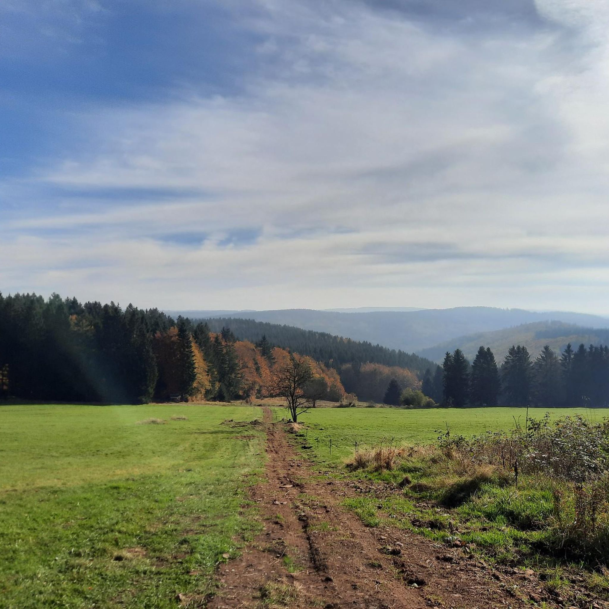
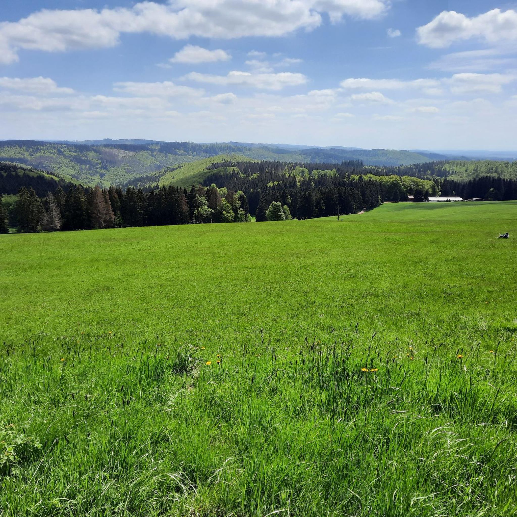
The Thuringian Forest is simply stunningly beautiful 😊.
0
1
The Thuringian Forest is simply stunningly beautiful 😊.
0
0
The Thuringian Forest is simply stunningly beautiful 😊.
3
0
The Thuringian Forest is simply stunningly beautiful 😊.
0
0
The Thuringian Forest is simply stunningly beautiful 😊.
1
0

An absolute highlight, especially in autumn during Indian Summer 😍 !
0
0

Erletortalsperre Hirschbach was once built for the emergency supply of the old district town. It was a long time ago 🤨
0
0
The Erletor Dam is managed by the Erlau Fishing Club
4
0
Frequently Asked Questions
How many hiking trails are available around St. Kilian?
There are nearly 100 hiking trails around St. Kilian, predominantly located in the Thuringian Forest region of Germany. These routes offer a diverse landscape of rolling hills, dense woodlands, and scenic valleys, catering to various preferences and skill levels.
Are there easy or family-friendly hiking trails in St. Kilian?
Yes, St. Kilian offers a good selection of easy and moderate trails suitable for families and beginners. Out of nearly 100 routes, 45 are classified as easy and 50 as moderate. An example of an easy route is the Inflow of the Reservoir – Erletor Reservoir loop from Hirschbach, which is 4.4 miles (7.1 km) long and takes about 1 hour 55 minutes.
What kind of landscapes can I expect to see on hikes around St. Kilian?
Hiking around St. Kilian is characterized by forested hills, tranquil valleys, and picturesque reservoirs. The region features a network of paths through dense woodlands, open fields, and alongside water bodies, offering varied terrain and scenic views typical of the Thuringian Forest.
Are there any circular hiking routes in St. Kilian?
Yes, many of the trails around St. Kilian are circular routes, allowing you to start and end at the same point. For example, the popular Adlersberg Observation Tower – Adlersberg Mountain Lodge loop from Vesser is a moderate 6.3 miles (10.2 km) circular path that leads through forests to a mountain lodge.
What are some notable viewpoints or attractions along the trails?
The region around St. Kilian offers several interesting viewpoints and natural attractions. You can find stunning vistas from places like the Kickelhahn Tower or the Schneekopf Summit and Observation Tower. There are also several serene lakes and ponds, such as the Ten Ponds or the Knöpfelstaler Pond, which are great for a peaceful stop.
What do other hikers enjoy most about hiking in St. Kilian?
The hiking trails in St. Kilian are highly rated by the komoot community, with an average score of 4.7 stars from over 800 reviews. Hikers often praise the quiet woodlands, well-marked paths, and the diverse terrain that offers both leisurely strolls and more demanding ascents.
Can I go hiking in St. Kilian during winter?
While the guide focuses on general hiking, the Thuringian Forest region, where St. Kilian is located, is known for its winter sports and cleared winter hiking trails. It's advisable to check local conditions and trail accessibility during the colder months, as some routes may be better suited for winter exploration than others.
Are there any hikes that include a mountain lodge or a place to stop for refreshments?
Yes, some routes in St. Kilian lead to mountain lodges or pass by places where you can stop for refreshments. For instance, the Adlersberg Observation Tower – Adlersberg Mountain Lodge loop from Vesser specifically mentions leading to a mountain lodge, providing a perfect spot for a break.
How long do hikes typically take around St. Kilian?
Hike durations vary significantly depending on the route's length and difficulty. Easy trails like the Inflow of the Reservoir – Erletor Reservoir loop from Hirschbach can be completed in under 2 hours, while more challenging routes such as the Adlersberg Observation Tower – Vesser Spring loop from Schleusingen, which is 17.0 miles (27.3 km) long, can take around 8 hours.
Is public transport available to access hiking trails in St. Kilian?
While specific public transport details for each trailhead are not provided, St. Kilian is a town in Thuringia, Germany. Public transport options, such as local buses, typically connect towns and villages in the region. It's recommended to check local transport schedules for connections to specific trail starting points.
Are there any challenging hiking routes for experienced hikers?
Yes, for experienced hikers seeking a challenge, St. Kilian offers several difficult routes. The most popular challenging route is the Adlersberg Observation Tower – Vesser Spring loop from Schleusingen, a 17.0 miles (27.3 km) trail with significant elevation changes, taking about 8 hours to complete.
Most popular routes around St. Kilian
Most popular attractions around St. Kilian

Get inspired with the komoot mobile app


Explore more
Browse the best Hikes in other regions.
