The best walks and hikes around Castiglione Chiavarese
4.5
(2187)
8,762
hikers
20
hikes
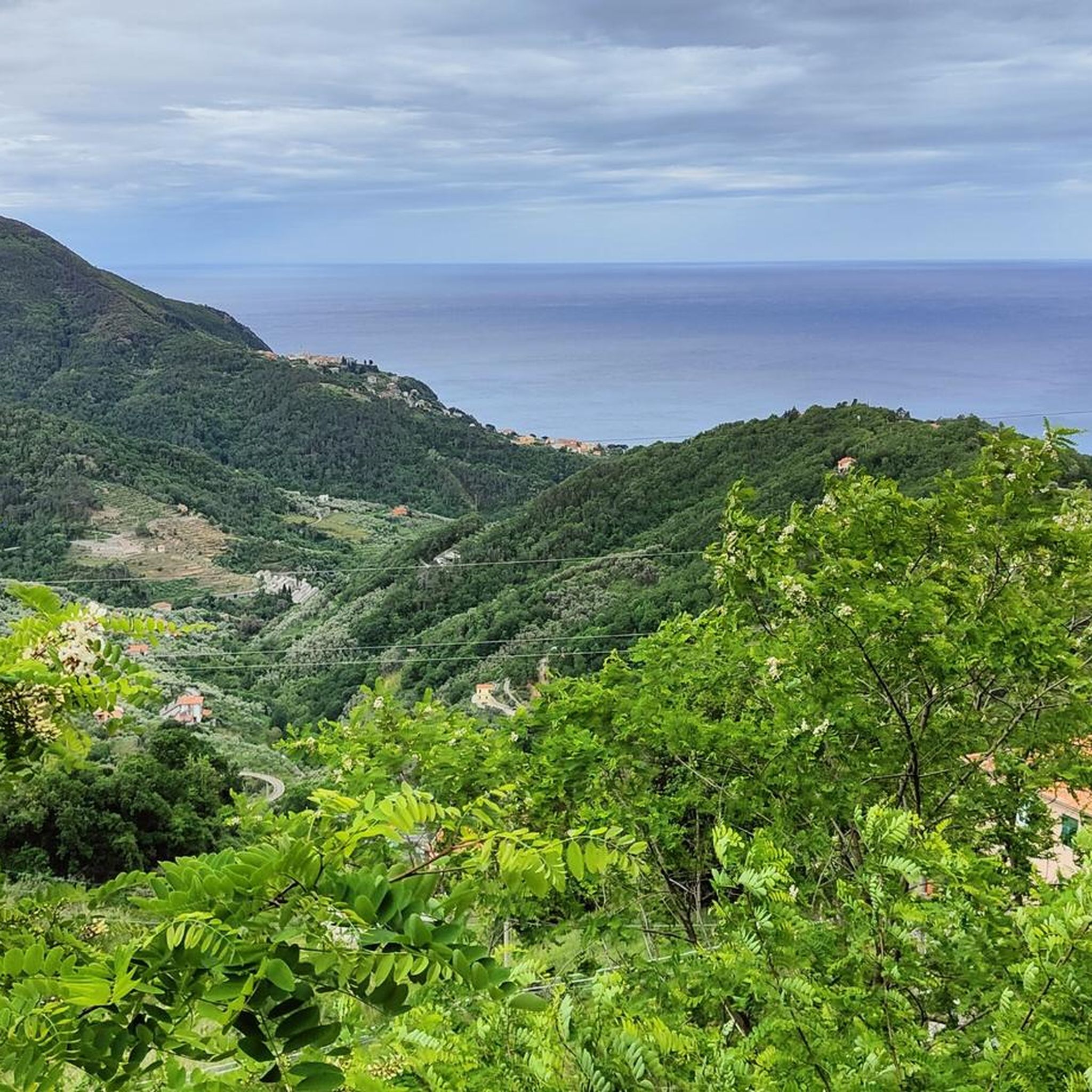
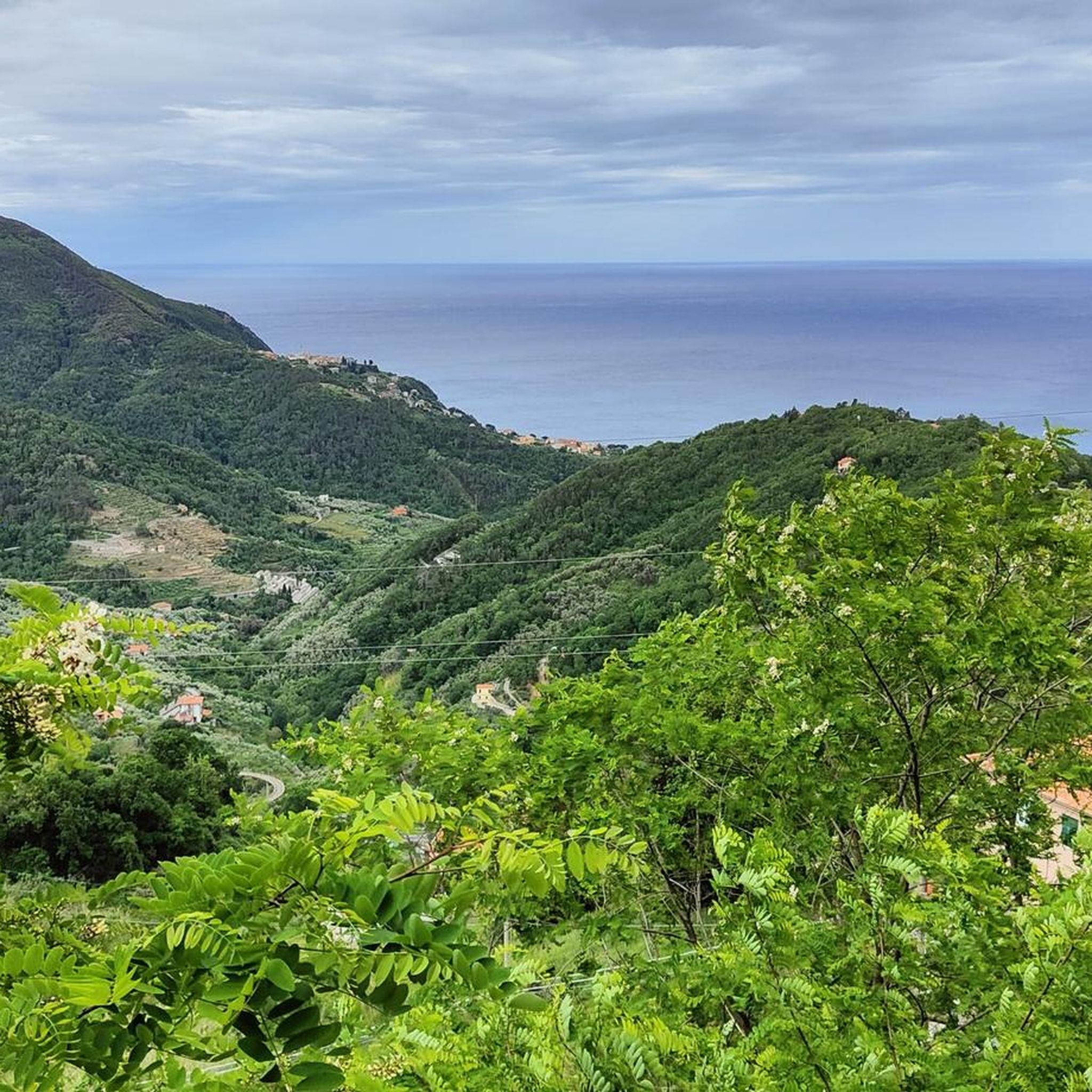
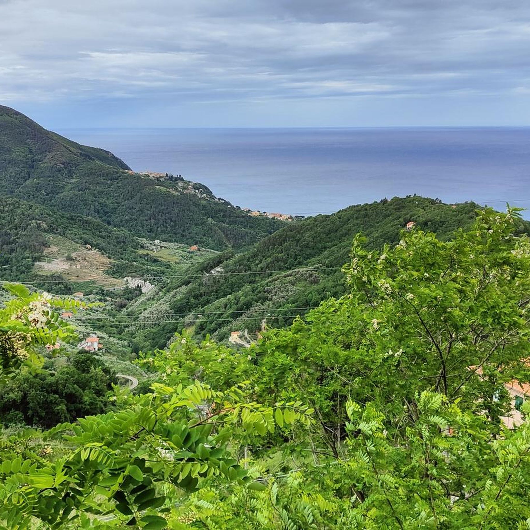
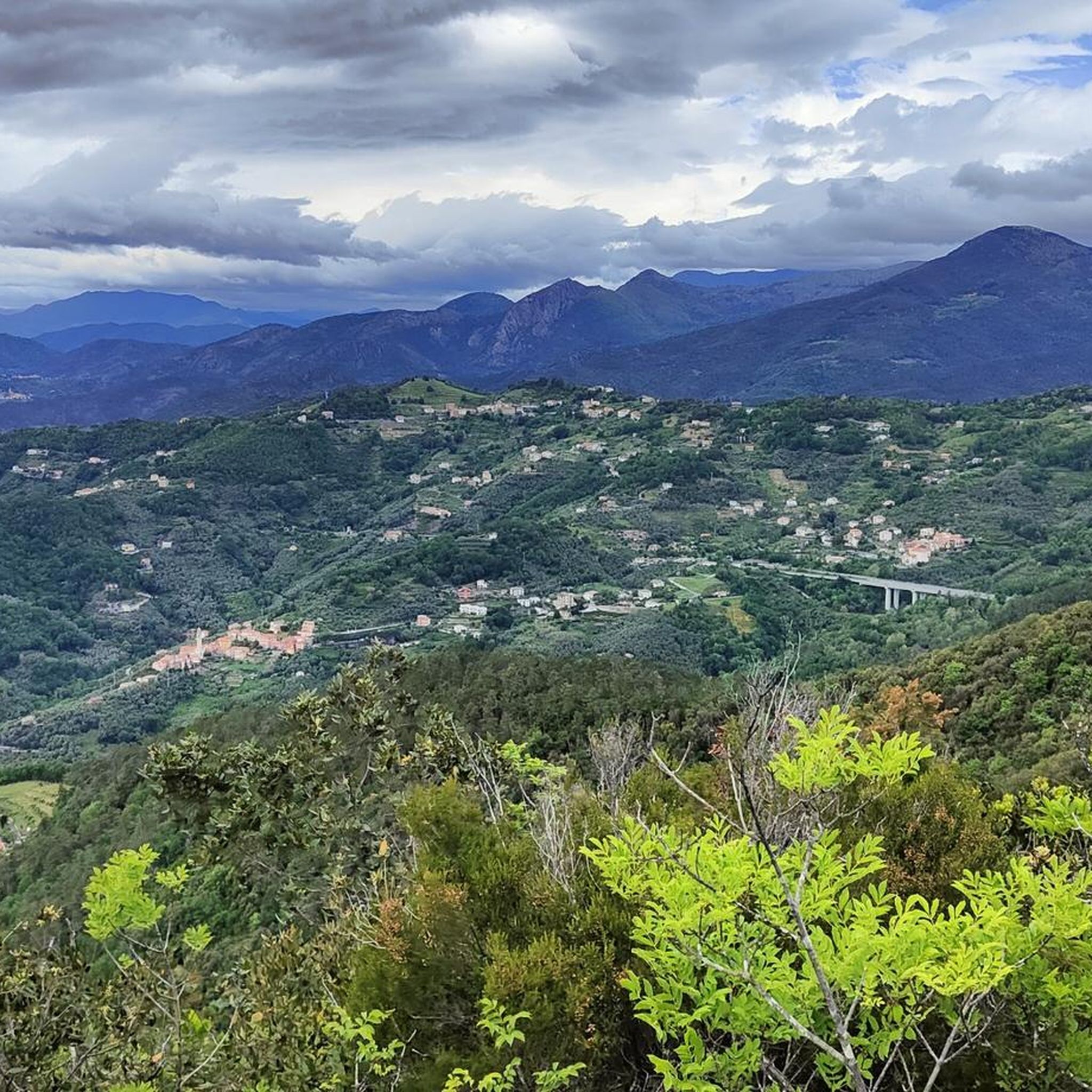
Hiking around Castiglione Chiavarese offers a varied landscape, transitioning from mountainous terrain to coastal views. The region is characterized by dense forests of chestnut and beech, deep valleys like Val Petronio, and unique geological formations such as Pietra di Vasca. Trails often traverse ridges, providing panoramic vistas of the surrounding area and connecting natural features with historical sites.
Best hiking trails around Castiglione Chiavarese
- The most popular hiking route is Medieval trail from Castiglione Chiavarese to Sant'Antonino, a 9.0 miles (14.5 km) trail that takes 4 hours 48 minutes to complete. This moderate route meanders through ancient chestnut groves and connects historical sites.
- Another top favourite among local hikers is Ridge walk from Santuario di Nostra Signora della Guardia, a moderate 5.4 miles (8.7 km) path. This trail offers panoramic views along a crest, passing by notable sanctuaries.
- Local hikers also love the Ancient pilgrimage trail from Monte Incisa to Hospitale di San Nicolao ruins, a 9.9 miles (15.9 km) trail leading through varied terrain, often completed in about 5 hours 13 minutes.
- Hiking around Castiglione Chiavarese is defined by mountainous terrain, coastal views, and dense forests. The network offers options for different ability levels, from moderate paths to more challenging treks.
- The routes in Castiglione Chiavarese are highly rated by the komoot community with an average score of 4.6 stars from over 1900 reviews. More than 7900 hikers have used komoot to explore Castiglione Chiavarese's varied terrain.
Last updated: October 10, 2026
1
hikers
14.5km
04:48
550m
550m
Medieval trail through chestnut groves to volcanic rock spires and ancient hospital ruins.
3.0
(1)
1
hikers
8.65km
02:47
250m
250m
This moderate 5.4-mile ridge walk from Santuario di Nostra Signora della Guardia offers panoramic views over Alassio and the Ligurian coast.

5.55km
02:05
190m
190m
Wild mountain adventure through dense forests with a hidden cave discovery off the beaten path.
2
hikers
11.0km
04:18
680m
680m
Hike 6.9 miles (11.0 km) From Campegli to Panoramic Bench (via Sant'Elena) for moderate Ligurian Apennines views and diverse terrain.
1
hikers
8.73km
03:05
410m
410m
Ancient pilgrimage route through chestnut forests to a mountaintop sanctuary with traditional Ligurian dining.
Get access to more routes and recommendations from other explorers.
Already have an account?
Our route recommendations are based on thousands of hikes, rides, and runs completed by other people on komoot.
Start today with a free account
Your next adventure awaits.
Frequently Asked Questions
What kind of terrain can I expect when hiking in Castiglione Chiavarese?
The region offers a varied landscape, transitioning from mountainous terrain to coastal views. You'll find dense forests of chestnut and beech, deep valleys like Val Petronio, and unique geological formations such as Pietra di Vasca. Trails often traverse ridges, providing panoramic vistas, and many follow ancient paths through varied environments.
Are there any easy hiking trails suitable for beginners in Castiglione Chiavarese?
While many trails in Castiglione Chiavarese are rated moderate to difficult, there are options that cater to different ability levels. For instance, the Bivio del Colello to Monte Alpe slopes trail is a shorter, moderate option that covers about 5.5 km. It's always recommended to check the specific trail details for elevation gain and distance to ensure it matches your fitness level.
What historical sites or landmarks can I see while hiking in the area?
Castiglione Chiavarese is rich in history. Many trails pass by significant sites such as the 12th-century Hospitale di San Nicolao, which you can explore along the Ancient pilgrimage trail from Monte Incisa to Hospitale di San Nicolao ruins. The Sanctuary of Madonna della Guardia di Velva is another notable point of interest on several paths, including the Ridge walk from Santuario di Nostra Signora della Guardia. The area also features the Polo Archeominerario di Castiglione Chiavarese, with some of Europe's oldest copper mines.
Are there any loop trails available for hikers?
Yes, Castiglione Chiavarese offers several loop trails. A popular option is the Monte Pù Loop Trail, which covers approximately 11 km and takes around 4 hours 18 minutes to complete. The Pietra di Vasca ring is also a well-known loop itinerary that meanders through ancient chestnut groves.
What do other hikers enjoy most about the trails in Castiglione Chiavarese?
The trails in Castiglione Chiavarese are highly rated by the komoot community, with an average score of 4.6 stars from over 1,900 reviews. Hikers often praise the varied terrain, the stunning panoramic views from ridge walks, and the blend of natural beauty with historical sites. The well-maintained paths through dense forests and charming villages are also frequently highlighted.
Can I find trails with panoramic viewpoints in Castiglione Chiavarese?
Absolutely. The region is known for its exceptional panoramic vistas. Trails along Monte San Nicolao and Monte Alpe provide expansive views. The Ridge walk from Santuario di Nostra Signora della Guardia is specifically designed to offer scenic outlooks along a crest. You can also find viewpoints like the Panoramic Ridge of Monte Le Rocchette and the Panoramic view from the summit of Monte Costello.
Are there any natural features or attractions to look out for on the hikes?
Beyond the stunning forests and valleys, you can discover unique natural features. The Pietra di Vasca is a geological formation with volcanic rock spires. The nearby Parco Naturale dell'Aveto offers a rich diversity of flora and fauna. For those interested in speleology, the Grotta dell'Ovolo boasts spectacular stalactites and stalagmites. Natural springs can also be found along many crest walks.
How many hiking trails are available in Castiglione Chiavarese?
There are over 20 hiking trails available around Castiglione Chiavarese, offering a wide range of options for different skill levels and interests. These routes have been explored by nearly 8,000 hikers using komoot.
What is the typical duration for hikes in Castiglione Chiavarese?
Hike durations vary significantly depending on the trail. For example, the Medieval trail from Castiglione Chiavarese to Sant'Antonino is a longer route taking around 4 hours 48 minutes, while the Bivio del Colello to Monte Alpe slopes trail can be completed in about 2 hours 5 minutes. It's best to check the specific tour details for estimated completion times.
Are there any coastal views from the hiking trails?
Yes, many trails in Castiglione Chiavarese offer a transition from mountainous terrain to coastal views, providing glimpses of the Ligurian Sea. While not directly on the coast, the elevated positions of many routes allow for distant sea panoramas, especially from higher peaks and ridges.
Are there any nearby towns or attractions worth visiting after a hike?
Absolutely. The region is close to several charming locations. You could visit the picturesque town of Bonassola, explore the Old Town and Bays of Sestri Levante, or even venture to the famous Cinque Terre National Park, which is within a 50 km radius. The Maremonti Cycle and Pedestrian Path also offers a different way to experience the coastal beauty.
Most popular routes around Castiglione Chiavarese
Most popular attractions around Castiglione Chiavarese

Get inspired with the komoot mobile app


Explore more
Browse the best Hikes in other regions.
