The best road cycling routes around Sant'Olcese
4.1
(881)
15,935
riders
189
rides
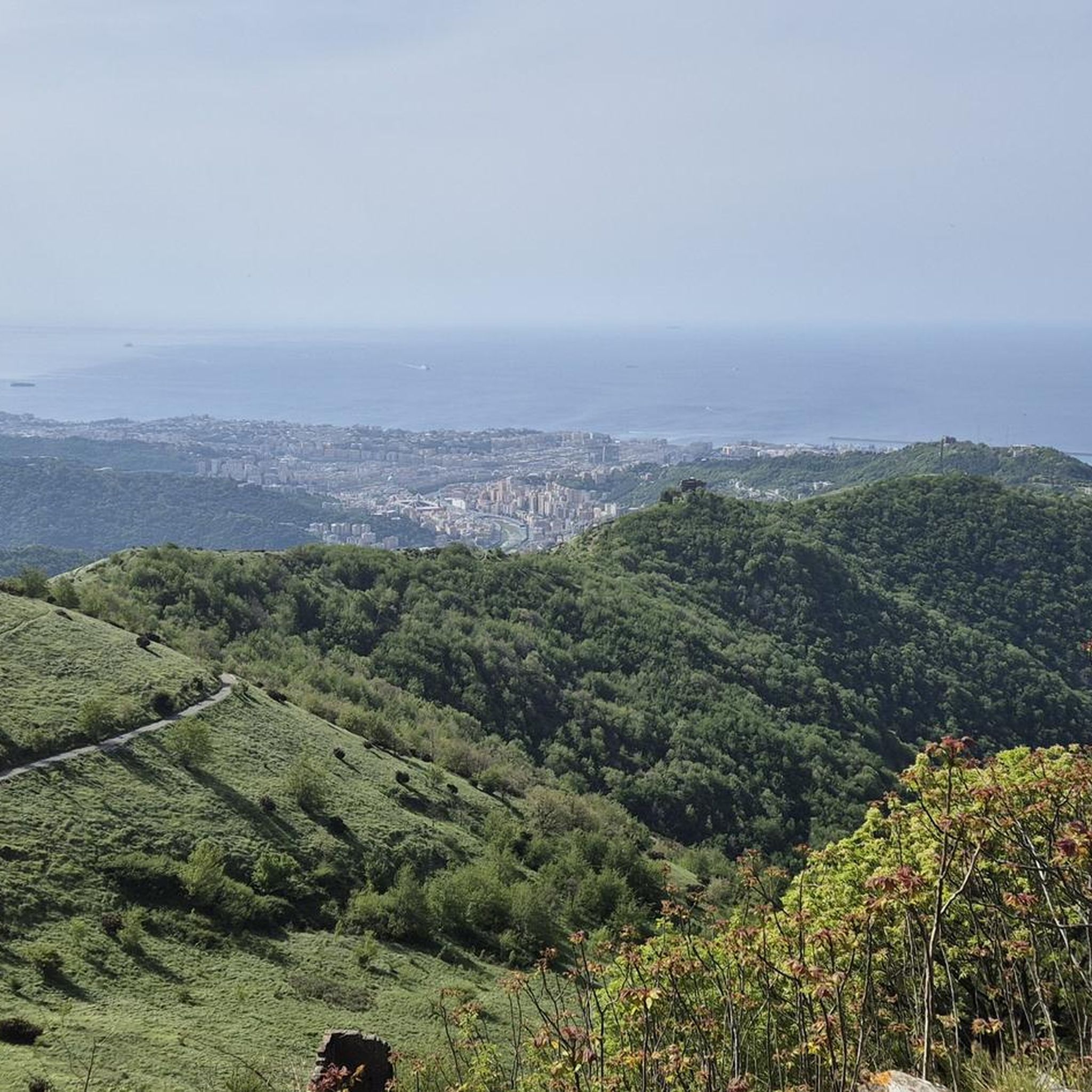
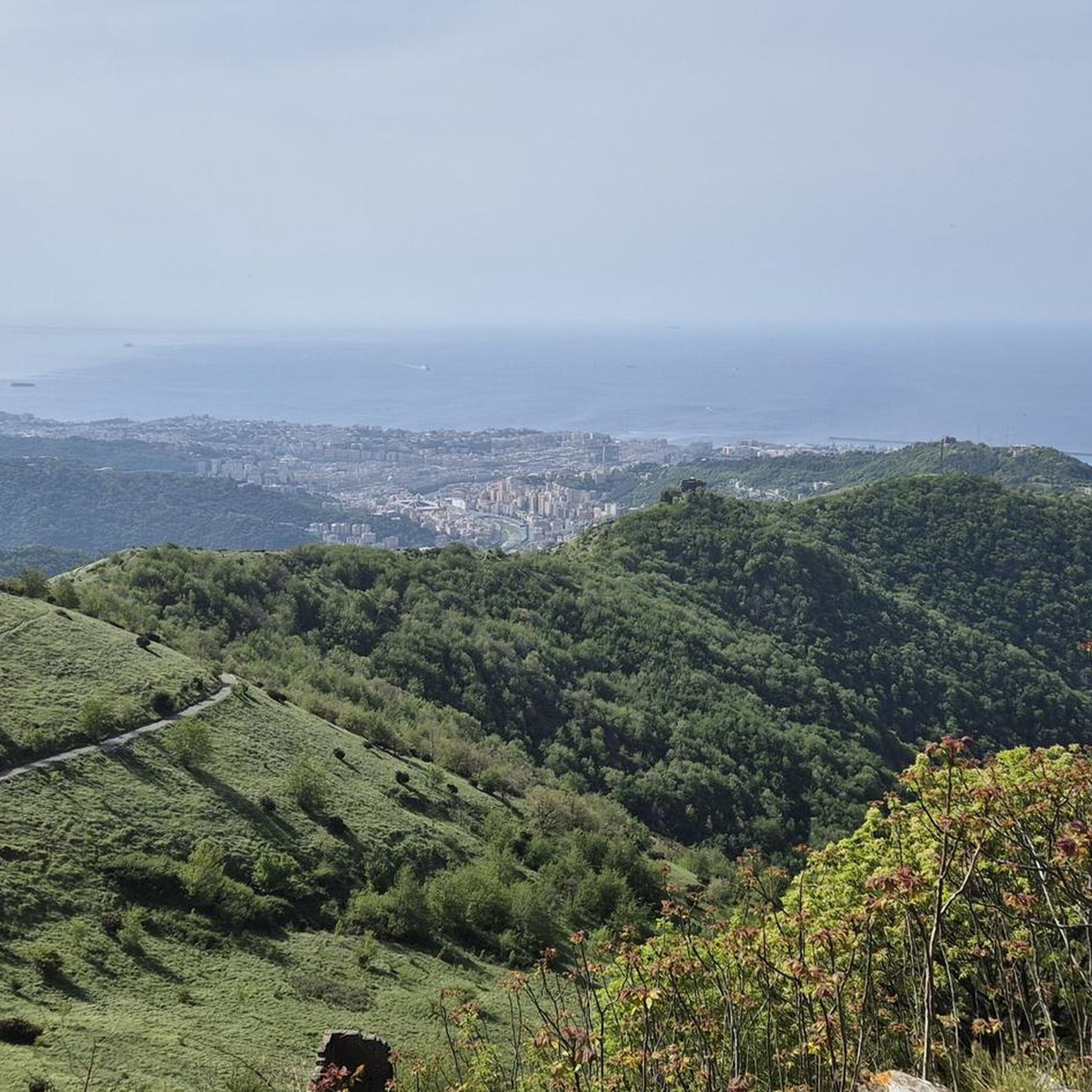
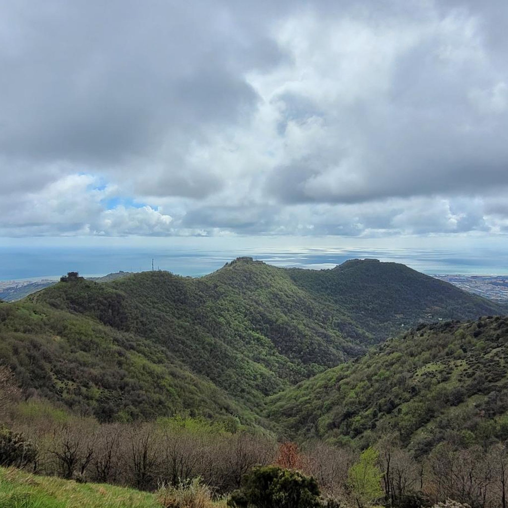
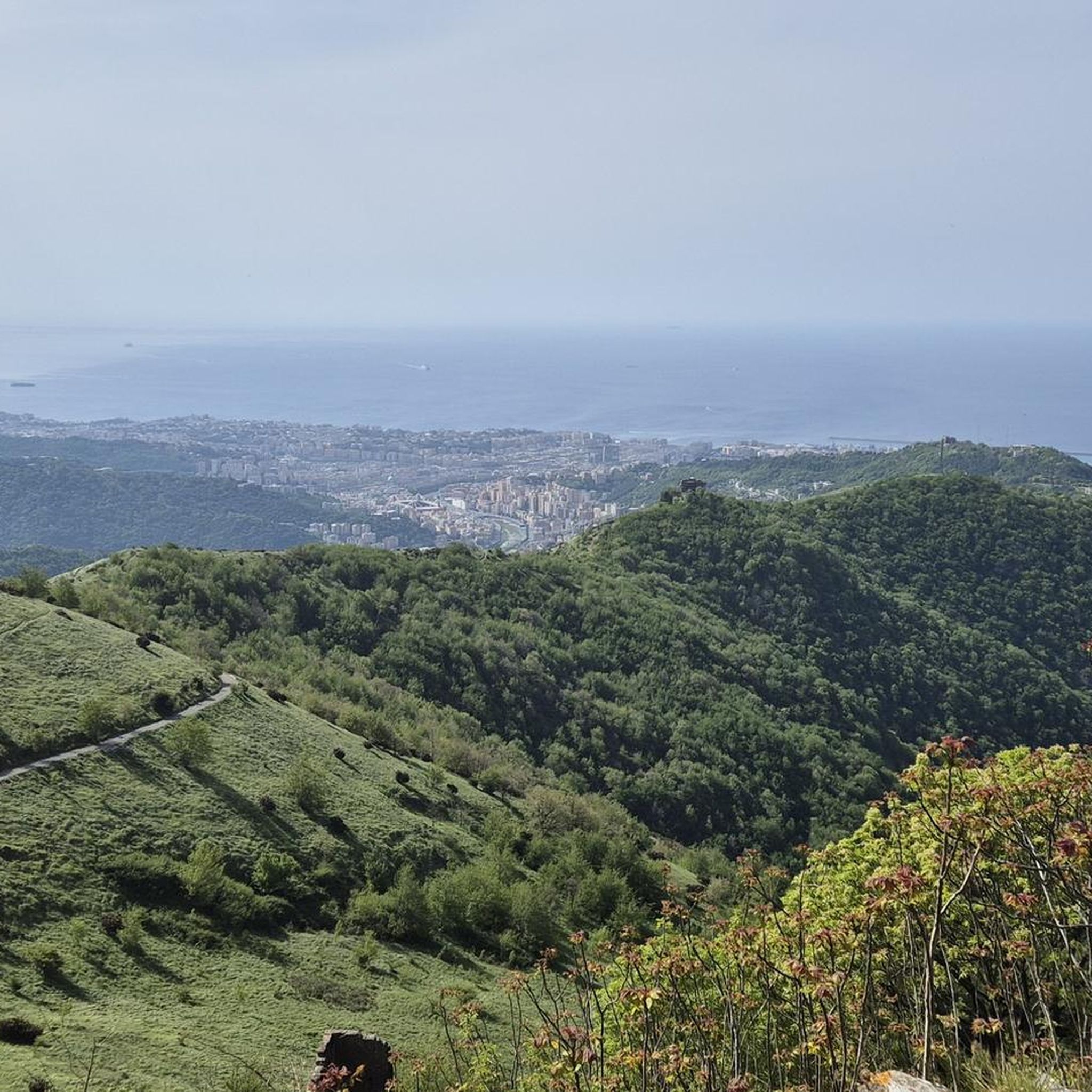
Road cycling routes around Sant'Olcese are situated in the Val Polcevera, a region characterized by hilly and mountainous terrain that rises towards the Ligurian Apennines. This topography provides diverse routes with significant elevation gain. The area features a network of roads connecting Genoa to the Po Valley, offering a balance of challenge and tranquility. Cyclists can experience landscapes with terraced vineyards and naturalistic characteristics.
Best road cycling routes around Sant'Olcese
- The most popular road cycling route is Castagnola Pass –…
Last updated: July 8, 2026
4.9
(14)
248
riders
78.4km
03:52
1,130m
1,130m
Hard road ride. Very good fitness required. Mostly well-paved surfaces and easy to ride.
4.0
(11)
184
riders
63.9km
03:26
1,110m
1,110m
Hard road ride. Very good fitness required. Mostly well-paved surfaces and easy to ride.

Sign up for free
5.0
(1)
112
riders
Hard road ride. Very good fitness required. Mostly well-paved surfaces and easy to ride.
5.0
(4)
94
riders
115km
06:31
2,610m
2,610m
Hard road ride. Very good fitness required. Mostly well-paved surfaces and easy to ride.
5.0
(17)
171
riders
74.6km
03:13
650m
650m
Moderate road ride. Good fitness required. Mostly well-paved surfaces and easy to ride.
Get access to more routes and recommendations from other explorers.
Sign up for free
Already have an account?
Our route recommendations are based on thousands of hikes, rides, and runs completed by other people on komoot.
Start today with a free account
Your next adventure awaits.
Login or Signup
Tips from the Community

Arrived at the end of the descent from the passo della Castagnola, right at the entrance to Borgo Scrivia, you will find this Romanesque bridge.
3
0
It is located along the Appennino bike tour route and, coming up from Voltaggio, it is an easy and very rewarding climb, both for the views and for the absence of traffic.
3
0
From the main route of the Appennino bike tour, it is advisable to enter the center of Voltaggio and visit both the town and the Romanesque bridge.
2
0

From here you can get everywhere!
0
0
..an infinite pleasure to quench your thirst here..
0
0

What goes up must come down.
0
0

Beautiful town kept in excellent condition.
14
0
Ecclesiastical building kept in excellent condition.
18
0
Frequently Asked Questions
How many road cycling routes are available around Sant'Olcese?
There are over 170 road cycling routes available around Sant'Olcese, catering to various skill levels. You'll find options ranging from easy to difficult, with 25 easy routes, and 74 each for moderate and difficult levels.
What kind of terrain can I expect on road cycling routes in Sant'Olcese?
Road cycling routes in Sant'Olcese are characterized by hilly and mountainous terrain, as the area is situated in the Val Polcevera and rises towards the Ligurian Apennines. This means you can expect significant elevation gains and varied vistas, often combining views of the mountainous hinterland with glimpses of the coast from higher elevations.
Are there any easy road cycling routes suitable for beginners in the Sant'Olcese area?
Yes, there are 25 easy road cycling routes around Sant'Olcese. An example of a less strenuous option is the View of Villa Serra di Comago – Church of Morego loop from Genova Pontedecimo, which covers about 33.4 km with moderate elevation gain.
What are some challenging road cycling routes for experienced riders near Sant'Olcese?
For experienced riders seeking a challenge, Sant'Olcese offers numerous difficult routes. Consider the Fontana da Canà – Passo della Scoglina loop from Pino, which is over 115 km long with significant elevation gain, or the Climb to Passo della Bocchetta – Passo della Bocchetta (772 m) loop from Genova Pontedecimo, a demanding route through the Ligurian Apennines.
What natural features or landmarks can I see along road cycling routes in Sant'Olcese?
Many routes offer scenic views of the Val Polcevera with its terraced vineyards and naturalistic characteristics. You can also find historical sites and natural monuments nearby. Notable attractions include Forte Diamante and Fort Sperone, which are part of Genoa's historical forts, or natural spots like Lake Val Noci and Monte Fasce Summit for panoramic views.
Are there any loop road cycling routes around Sant'Olcese?
Yes, many road cycling routes around Sant'Olcese are designed as loops. For example, the Passo Dei Giovi – Passo dei Giovi loop from Serra Riccò offers a challenging circular path through the Val Polcevera, and the Castagnola Pass – Passo dei Giovi loop from Genova Pontedecimo is another popular loop option.
What is the best time of year for road cycling in Sant'Olcese?
The Ligurian climate generally makes spring and autumn ideal for road cycling in Sant'Olcese, offering pleasant temperatures and lush landscapes. Summer can be warm, especially in the valleys, but higher elevations provide cooler air. Winter cycling is possible, but be mindful of potential colder temperatures and occasional precipitation in the mountainous areas.
Are there cafes or places to stop for refreshments along road cycling routes in Sant'Olcese?
While specific cafes directly on every route are not detailed, the region's network of roads often connects through or near small villages and towns in the Val Polcevera and surrounding areas. These typically offer opportunities for refreshments, especially in larger hubs like Genova Pontedecimo or Serra Riccò, which serve as common starting points for many routes.
What do other road cyclists enjoy most about road cycling in Sant'Olcese?
The area is highly rated by the komoot community, with an average score of 4.2 stars from over 700 reviews. Road cyclists often praise the diverse terrain, significant elevation gains, and the scenic routes through the Val Polcevera, which provide a balance of challenge and tranquility amidst terraced vineyards and natural landscapes.
Is public transport available for cyclists in the Sant'Olcese area?
Sant'Olcese is located within the Metropolitan City of Genoa, which has a public transport network. For specific information on transporting bicycles on public transport (trains, buses), it's advisable to check the local transport authority's guidelines or the official Genoa tourism website for details on bike-friendly options: Visit Genoa.
Are there any family-friendly road cycling routes near Sant'Olcese?
While many routes in Sant'Olcese feature significant elevation, there are 25 routes classified as 'easy' which might be more suitable for families or those looking for a less strenuous ride. These routes typically have less climbing and cover shorter distances, offering a gentler introduction to road cycling in the region.
Where can I find parking for road cycling routes in Sant'Olcese?
Many road cycling routes around Sant'Olcese start from towns like Genova Pontedecimo or Serra Riccò. These larger villages typically offer public parking facilities where you can leave your vehicle before starting your ride. It's recommended to check local parking regulations upon arrival.
Most popular routes around Sant'Olcese
Most popular attractions around Sant'Olcese

Get inspired with the komoot mobile app


Explore more
Browse the best Road cycling routes in other regions.
