The best running trails around Tiglieto
4.6
(67)
3,200
runners
157
runs
Jogging routes around Tiglieto traverse a landscape characterized by extensive forests, including chestnut, locust, and oak, covering the upper Orba valley. The region features the picturesque Orba River, with trails running along its banks and offering elevated viewpoints. As a mountain village, Tiglieto provides a mountainous backdrop, with part of its territory within the Parco Naturale Regionale del Beigua.
Best jogging routes around Tiglieto
- The most popular jogging route is Monte Argentea and Cima del Pozzo Loop from Vara Inferiore…
Last updated: June 29, 2026
15.9km
02:15
630m
630m
This difficult 9.9-mile jogging loop from Vara Inferiore offers challenging terrain, panoramic sea views, and passes the Argentea Hut.
31
runners
18.2km
02:39
710m
710m
Hard run. Very good fitness required. Sure-footedness, sturdy shoes and alpine experience required.

Sign up for free
5.0
(1)
19
runners
17.9km
02:12
510m
510m
Hard run. Very good fitness required. Sure-footedness, sturdy shoes and alpine experience required.
19
runners
12.2km
01:20
270m
270m
Moderate run. Good fitness required. Mostly paved surfaces. Suitable for all skill levels.
14
runners
9.82km
01:09
300m
300m
Hard run. Very good fitness required. Sure-footedness, sturdy shoes and alpine experience required.
Get access to more routes and recommendations from other explorers.
Sign up for free
Already have an account?
Our route recommendations are based on thousands of hikes, rides, and runs completed by other people on komoot.
Start today with a free account
Your next adventure awaits.
Login or Signup
Tips from the Community

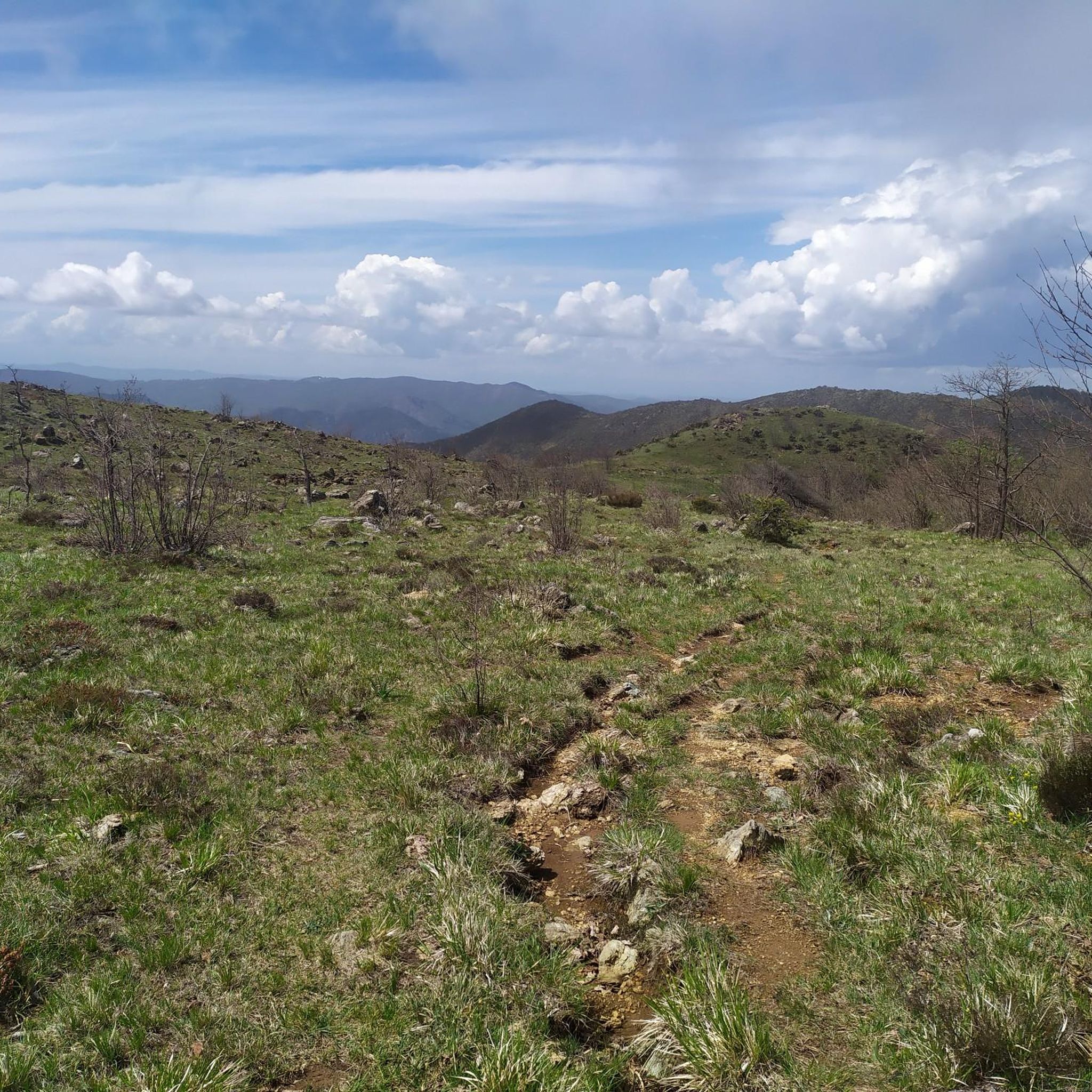
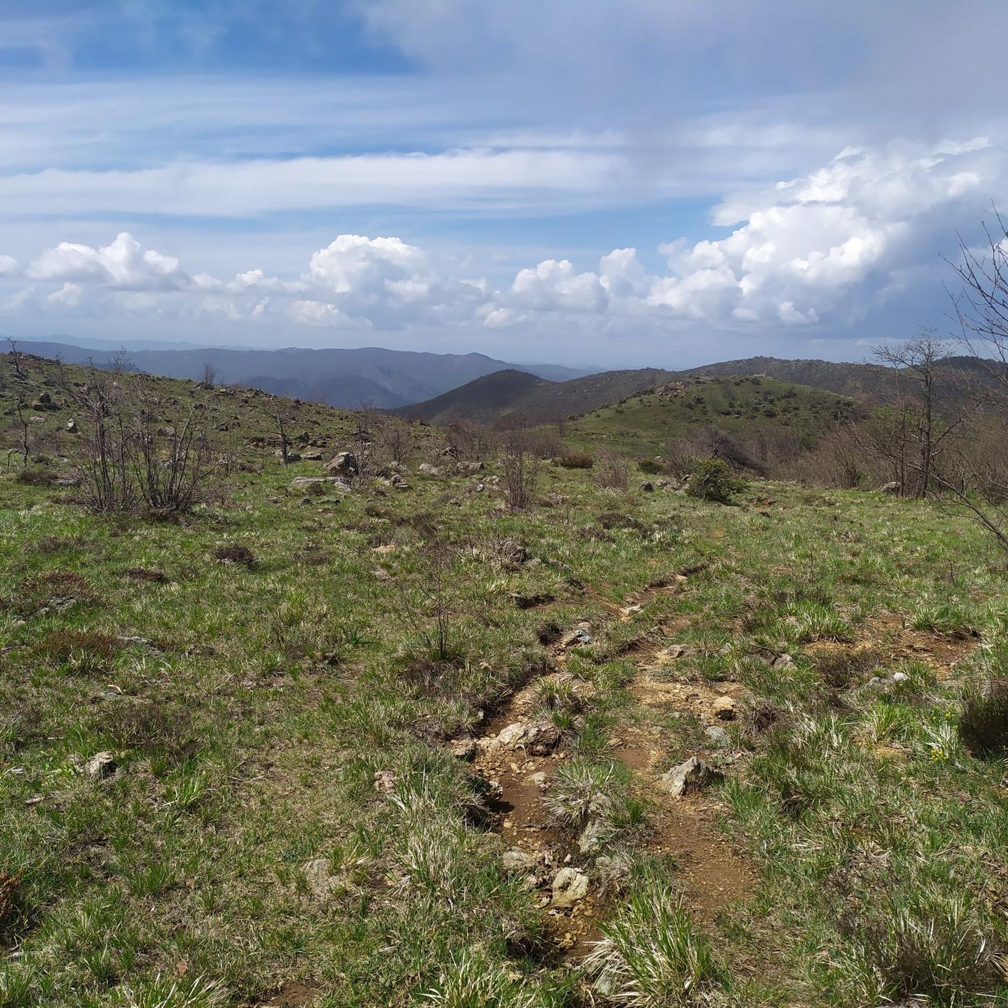
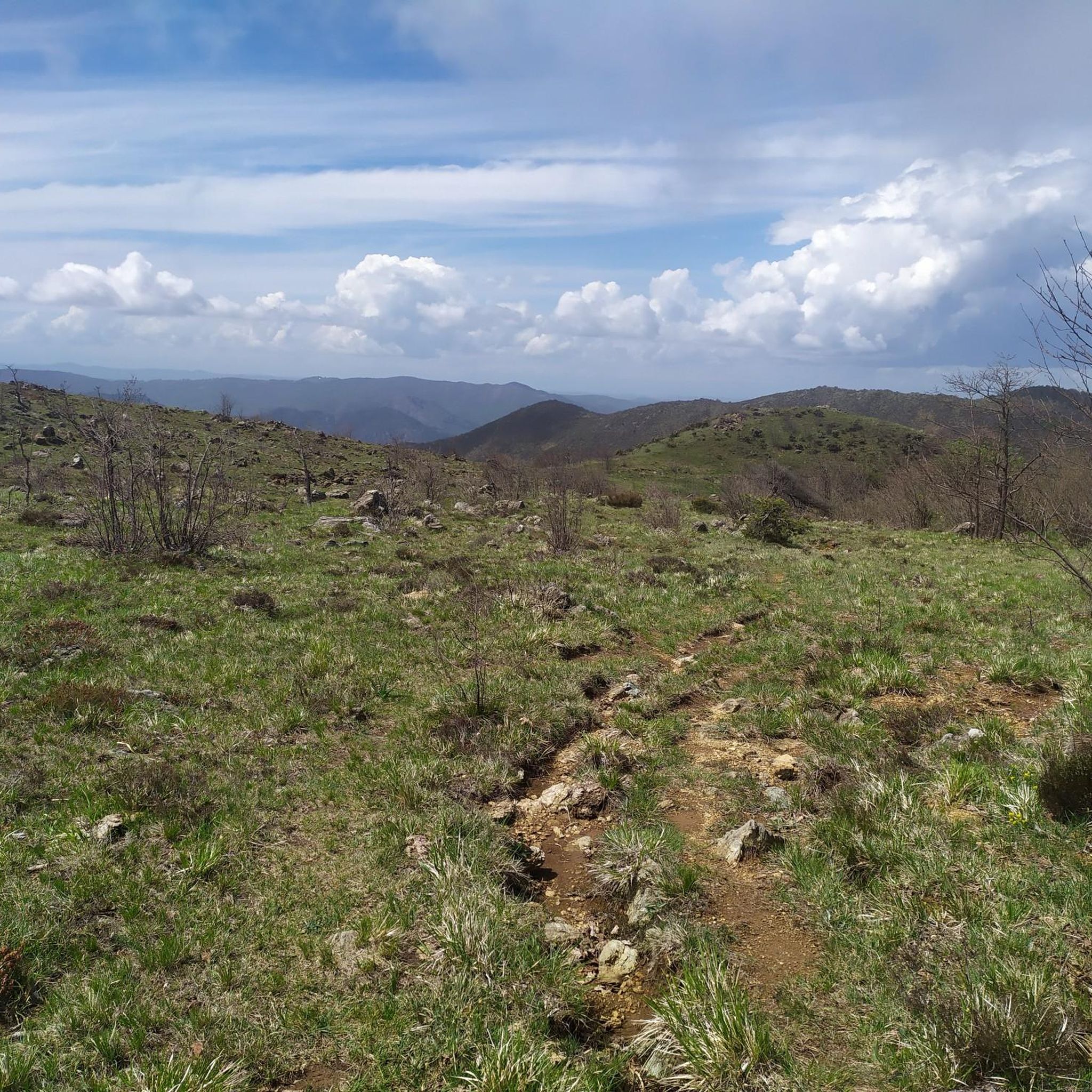
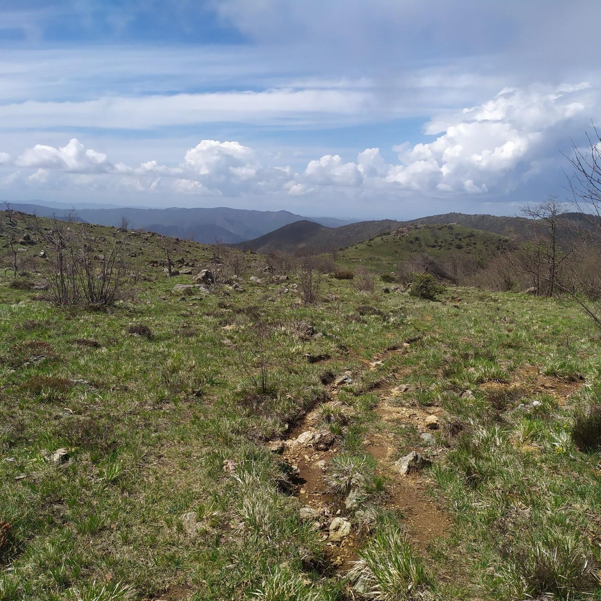
Very panoramic point from which you can see the sea!
0
0

It is usually open on weekends between May and September
0
0

The Argentea refuge, managed by volunteers from the CAI of Arenzano, is open for overnight stays every weekend from May to September and every day in August. For organized groups, there is the possibility of midweek openings by contacting the number 347 7115341
0
0

It's worth getting there and then exploring the surroundings
0
0

The Faiallo pass is a pass in the Ligurian Apennines. 1044m above sea level
0
0

Beautiful refuge located a stone's throw from the top of Mount Argentea, at an altitude of 1,088 meters above sea level. It is managed by the CAI of Arenzano and is open from May to September on weekends.
2
0

This bridge over the Stura river was built in the 11th century and rebuilt in 1841. It is still in stone and is dedicated to San Michele.
2
0

Small shelter with a Madonna not far from the Argentea refuge
1
0
Frequently Asked Questions
How many running routes are available around Tiglieto?
There are over 120 running routes available around Tiglieto, offering a wide range of options for different fitness levels. The komoot community has highly rated these trails, with an average score of 4.8 stars.
Are there easy jogging routes for beginners in Tiglieto?
While many routes in Tiglieto are considered difficult due to the mountainous terrain, there are a few easier options available. These trails typically wind through the extensive forests of chestnut, locust, and oak, offering a gentler introduction to running in the region.
Can I find circular running trails in the Tiglieto area?
Yes, Tiglieto offers several circular running trails. A well-known option is the loop around the historic Abbey of Santa Maria della Croce, which follows ancient paths and mule tracks. For a more challenging circular route, consider the Monte Argentea and Cima del Pozzo Loop from Vara Inferiore, which is 9.9 miles long and offers stunning views.
What kind of natural landscapes will I encounter on Tiglieto's running paths?
Tiglieto's running paths are characterized by diverse natural landscapes. You'll jog through extensive forests of chestnut, locust, maple, and oak, especially on the left side of the upper Orba valley. Many trails also run along the picturesque Orba River, offering elevated viewpoints of its gorges. The region's mountainous terrain provides a scenic backdrop, with some areas within the Parco Naturale Regionale del Beigua.
Are there any notable landmarks or attractions along the running routes?
Absolutely! The region is rich in history and natural beauty. You can explore the historic Cistercian Abbey of Santa Maria della Croce, the first of its kind in Italy. Near the Abbey, you'll find a five-arched bridge crossing the Orba River and the monumental Napoleon's Oak, named for an engraving said to be from Napoleon Bonaparte's passage. Other natural highlights include various summits like Monte Reixa and Monte Beigua, offering panoramic views.
What do other runners enjoy most about jogging in Tiglieto?
The komoot community highly rates the running experience in Tiglieto, with an average score of 4.8 stars from over 60 reviews. Runners often praise the diverse terrain, from dense forests to riverbanks, and the challenging yet rewarding mountainous backdrops. The well-maintained trail network and the sense of immersion in nature are frequently highlighted.
Are there challenging running trails for experienced runners?
Yes, Tiglieto is well-suited for experienced runners seeking a challenge. Many routes are classified as difficult, featuring significant elevation changes and longer distances. For instance, the Bric Caban – Monte Tacco loop from Campo Ligure-Masone is a difficult 10.2-mile path that winds through dense forests and offers elevated perspectives of the Orba valley.
Can I find running routes with good viewpoints in Tiglieto?
Yes, the mountainous terrain and proximity to the Orba River mean many running routes in Tiglieto offer excellent viewpoints. Trails along the Orba River provide elevated perspectives of its gorges, and higher elevation routes, especially those within the Parco Naturale Regionale del Beigua, can offer stunning panoramas of both the Alps and the Ligurian Sea.
Are there any long-distance running options around Tiglieto?
Tiglieto offers several long-distance running options, with many routes exceeding 10 miles. For example, the Passo della Scisa loop from Masone is a 10.3-mile trail leading through varied woodlands, typically completed in about 2 hours 13 minutes, making it a great choice for a longer run.
What is the best time of year for running in Tiglieto?
The extensive forests and mountainous terrain of Tiglieto make it enjoyable for running across multiple seasons. Spring and autumn offer pleasant temperatures and vibrant foliage, while the dense woodlands provide shade during warmer summer months. Winter running is also possible, though conditions may vary, especially at higher elevations.
Are there family-friendly running routes in Tiglieto?
While many routes are challenging, some sections of the extensive trail network are suitable for families looking for a lighter jog or walk. These paths often wind through coniferous forests and chestnut orchards, providing varied scenery. Look for routes described as 'easy' or shorter loops that avoid significant elevation gains.
Are there less crowded jogging spots in Tiglieto?
Given the extensive network of trails and the natural setting of Tiglieto, it's generally possible to find less crowded jogging spots, especially away from the most popular landmarks. Exploring the numerous paths through the dense forests and along the Orba River can offer a peaceful and solitary running experience.
Most popular attractions around Tiglieto

Get inspired with the komoot mobile app


Explore more
Browse the best Running Trails & Routes in other regions.
