The best road cycling routes around Stephanskirchen
4.5
(2965)
42,738
riders
12
rides
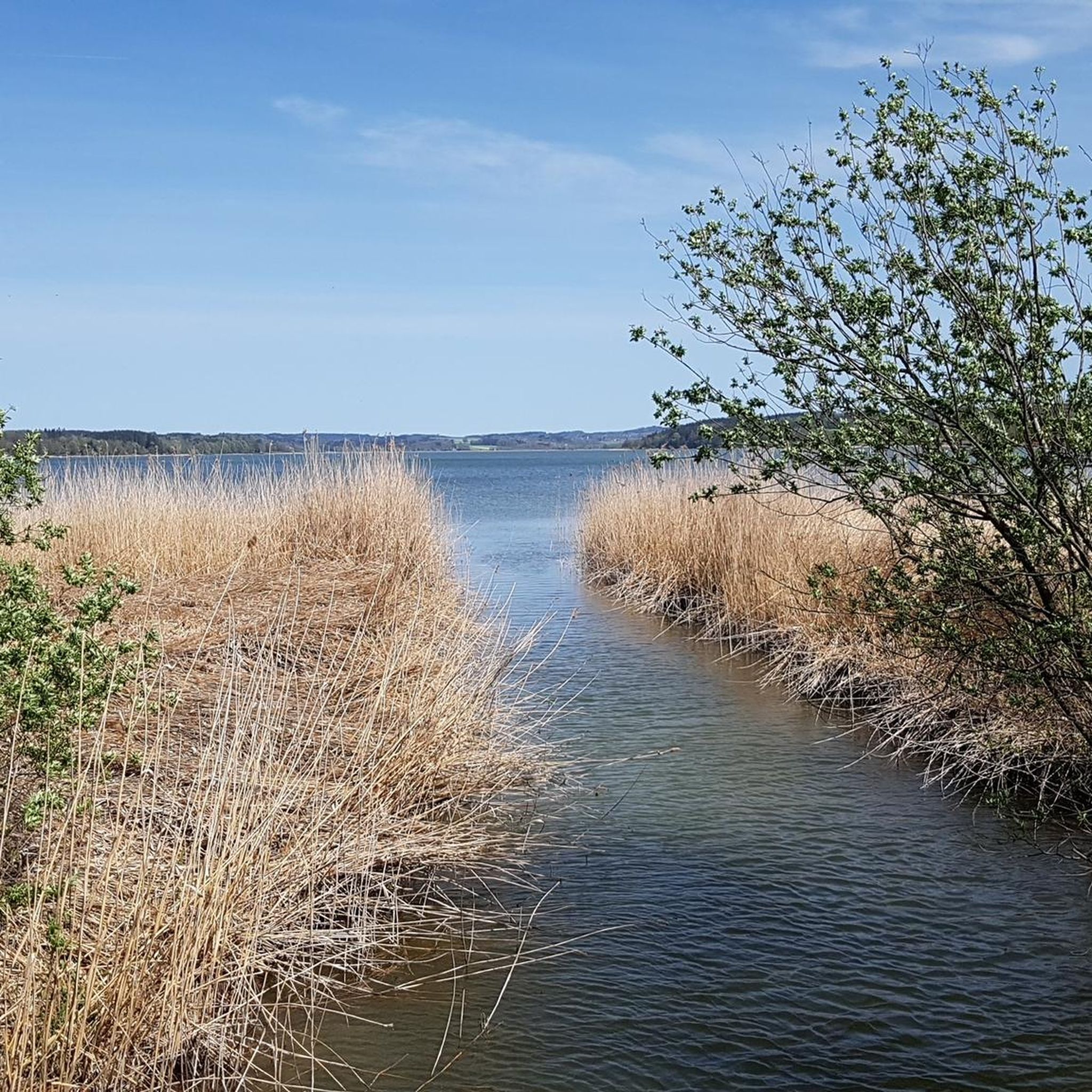
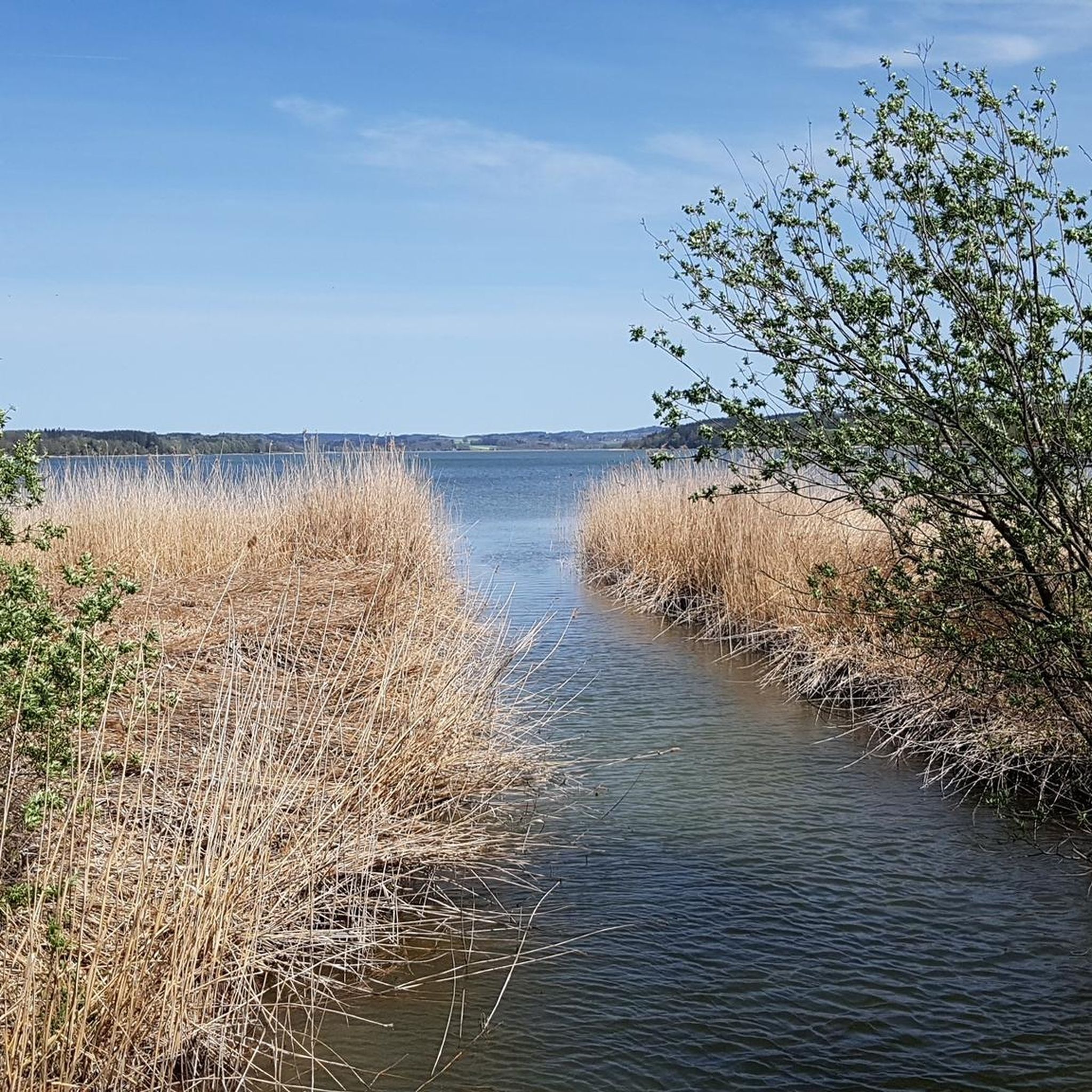
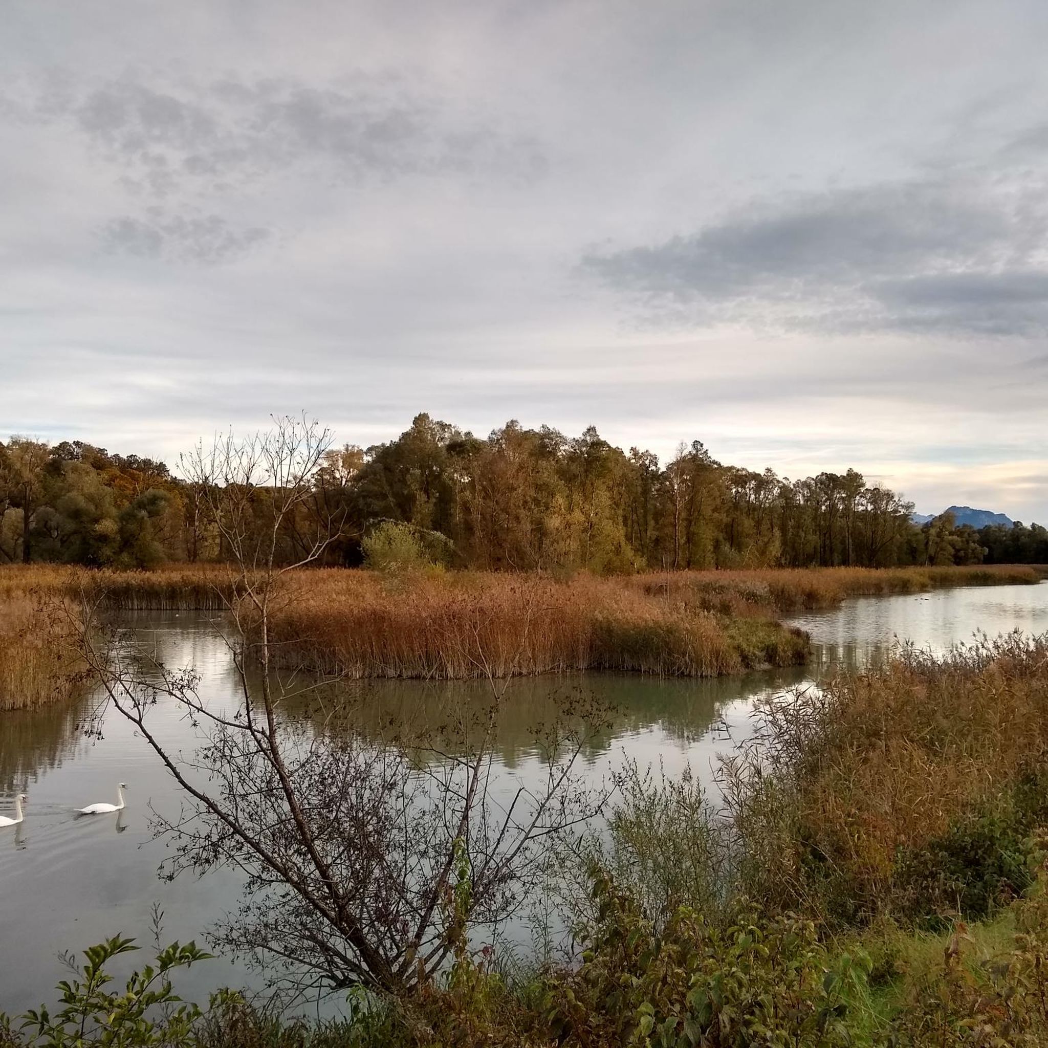
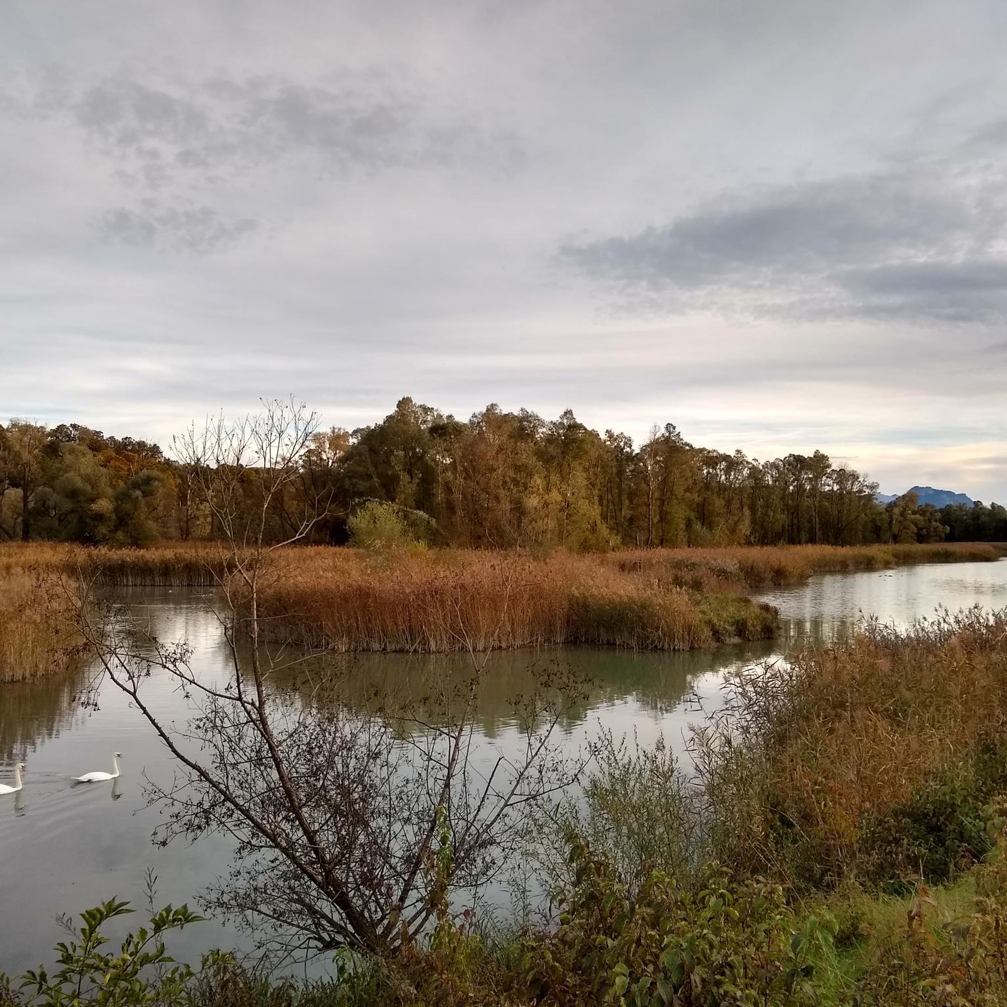
Road cycling routes around Stephanskirchen traverse a landscape characterized by gentle hills, open fields, and forested areas, often featuring views of local ponds and villages. The region offers a mix of paved country roads and quieter paths suitable for road bikes. Elevations are generally moderate, with many routes remaining below 200 meters of ascent. This makes the area accessible for various fitness levels, from easy rides through flat terrain to more moderate routes with gradual climbs.
Best road cycling routes…
Last updated: October 15, 2026
4.5
(8)
95
riders
22.3km
00:57
170m
170m
Easy road ride. Great for any fitness level. Mostly well-paved surfaces and easy to ride.
4.6
(5)
42
riders
25.4km
01:06
190m
190m
Easy road ride. Great for any fitness level. Mostly well-paved surfaces and easy to ride.

3.7
(6)
49
riders
Easy road ride. Great for any fitness level. Mostly well-paved surfaces and easy to ride.
4.5
(2)
21
riders
Moderate road ride. Great for any fitness level. Some segments of this route may be unpaved and difficult to ride.
19
riders
Moderate road ride. Great for any fitness level. Some segments of this route may be unpaved and difficult to ride.
Get access to more routes and recommendations from other explorers.
Already have an account?
Our route recommendations are based on thousands of hikes, rides, and runs completed by other people on komoot.
Start today with a free account
Your next adventure awaits.


Tips from the Community

...here is a part of the pedestrian zone separated by Münchner Straße
1
0

The view sweeps over the Inn and the mountains behind it.
0
0
This is a nice, small street with an exceptional traffic light regulation.
1
0

Dangerous bend! Accidents involving cyclists happen frequently.
0
0

The late Gothic hall church was built in the second quarter of the 15th century, severely damaged by fire in 1702, and remodeled in the Baroque style in 1720. The church building, which was extended by the western annex in 1923, underwent extensive interior renovations from 2008 to 2010.
0
0
The parish church of St. Vitus Zaisering is known for its almost 70-meter-high, slender steeple, which can be seen from afar. The church—the center of the village community's religious life—is also an expression of the long and eventful history of Zaisering, which dates back to the High Middle Ages and is closely linked to the noble Zaisering family. Over the centuries, the church building has undergone repeated changes. In 1880-82, a larger nave in the Neo-Gothic style was added to the late Gothic choir and tower. To this day, this proud building dominates the townscape and impresses visitors not only with its size but also with the harmonious design of its interior. (https://www.kirchenfuehrungen-rosenheim.de/kuratiekirche-st-vitus-zaisering)
0
0
The neo-baroque complex is privately owned and not open to visitors.
1
0

The panorama opens up right at the entrance to the town. It's wonderful!
3
0
Frequently Asked Questions
What kind of terrain can I expect on road cycling routes around Stephanskirchen?
The region offers a mix of gentle hills, open fields, and forested areas. You'll often find views of local ponds and villages. Elevations are generally moderate, with many routes featuring gradual climbs and staying below 200 meters of ascent, making it accessible for various fitness levels.
Are there easy road cycling routes suitable for beginners or families in Stephanskirchen?
Yes, Stephanskirchen has several easy road cycling routes. For instance, the Filzenweg (Panger Fields) – Nicklheim Moor Trail loop from Stephanskirchen is an easy 44.7 km path exploring open fields and moorland. Another easy option is the Zaisering Village Church – Doblergraben loop from Schloßberg, which is 25.4 km through village landscapes.
Are there any challenging road cycling routes in the Stephanskirchen area?
While many routes feature moderate elevations, the region is more known for its accessible terrain rather than extreme challenges. Routes like the 10° Descent in the Forest – View of Simssee loop from Rosenheim offer a moderate challenge with a 33.8 km distance and over 350 meters of ascent, including a forest descent.
What are the typical lengths and durations of road cycling routes in Stephanskirchen?
Routes vary in length, with many falling between 25 km and 45 km. For example, the Scenic Road Near Pinswang – Tinninger Pond loop from Stephanskirchen is about 29 km, typically taking around 1 hour 10 minutes. Longer routes, like the Filzenweg (Panger Fields) – Nicklheim Moor Trail loop from Stephanskirchen, are around 45 km and can take over 1 hour 45 minutes.
What kind of scenic views or viewpoints can I expect on road cycling routes?
Many routes offer picturesque views of local ponds, open fields, and forested sections. You might also catch glimpses of the Simssee lake, as seen on the 10° Descent in the Forest – View of Simssee loop from Rosenheim. The region's gentle landscape provides a pleasant backdrop for rides.
Are there any notable landmarks or attractions along the road cycling routes?
Yes, the area around Stephanskirchen is dotted with interesting sights. You can find several castles, such as Prantseck Castle or Schechen Castle. There are also beautiful lakes, including the Neubeurer Lake, and various viewpoints offering vistas like the View over Lake Chiemsee and the Chiemgau Alps.
What do other road cyclists say about the routes in Stephanskirchen?
The road cycling routes in Stephanskirchen are highly regarded by the komoot community, holding an average rating of 4.5 stars from over 1,300 reviews. Cyclists often praise the well-maintained paths, the variety of landscapes from open fields to forest sections, and the scenic pond views.
Are the road cycling routes in Stephanskirchen typically loop trails?
Yes, many of the road cycling routes around Stephanskirchen are designed as loops, allowing you to start and end your ride in the same location. Examples include the Inn Bridge Neubeuern–Kirchdorf – Tinninger Pond loop from Stephanskirchen and the Filzenweg (Panger Fields) – Nicklheim Moor Trail loop from Stephanskirchen.
When is the best time of year for road cycling in Stephanskirchen?
The region is generally pleasant for road cycling from spring through autumn. Summer offers warm weather, while spring and autumn provide milder temperatures and beautiful scenery with blooming nature or colorful foliage. Always check local weather conditions before heading out.
How many road cycling routes are available in Stephanskirchen?
There are around a dozen dedicated road cycling routes in the Stephanskirchen area, offering a good selection for various preferences and skill levels. These include an even split of easy and moderate routes.
Are there road cycling routes that pass by cafes or places to stop for refreshments?
While specific cafe stops are not always highlighted on every route, the routes often pass through or near villages where you can find local establishments for refreshments. Planning your route with komoot allows you to discover points of interest, including cafes, along your chosen path.
Most popular routes around Stephanskirchen
Most popular attractions around Stephanskirchen

Get inspired with the komoot mobile app


Explore more
Browse the best Road cycling routes in other regions.
