The best cycling routes around Steiningen
4.5
(4073)
18,494
riders
588
rides
Touring cycling routes around Steiningen traverse the Volcanic Eifel region, characterized by unique volcanic landscapes. The area features extinct volcanic lakes known as maars, such as the Pulvermaar, alongside forested volcanic cones. Cyclists will encounter deep forests and valleys, with some routes extending towards the Moselle cultural landscape. The region's cycling infrastructure includes paths built on former railway lines, providing predominantly flat and asphalted surfaces.
Best touring cycling routes around Steiningen
- The most popular touring cycling route is Pleiner Tunnel…
Last updated: October 13, 2026
4.1
(7)
37
riders
18.7km
01:21
280m
280m
Moderate bike ride. Good fitness required. Mostly paved surfaces. Suitable for all skill levels.
5.0
(2)
7
riders
29.4km
02:20
390m
390m
Moderate bike ride. Good fitness required. Mostly paved surfaces. Suitable for all skill levels.

3.8
(4)
7
riders
32.4km
02:27
460m
460m
Hard bike ride. Very good fitness required. Mostly paved surfaces. Suitable for all skill levels.
5.0
(1)
8
riders
40.3km
03:27
510m
510m
Hard bike ride. Very good fitness required. You may need to push your bike for some segments of this route.
5.0
(1)
6
riders
40.7km
03:18
610m
610m
Hard bike ride. Very good fitness required. Mostly paved surfaces. Suitable for all skill levels.
Get access to more routes and recommendations from other explorers.
Already have an account?
Our route recommendations are based on thousands of hikes, rides, and runs completed by other people on komoot.
Start today with a free account
Your next adventure awaits.
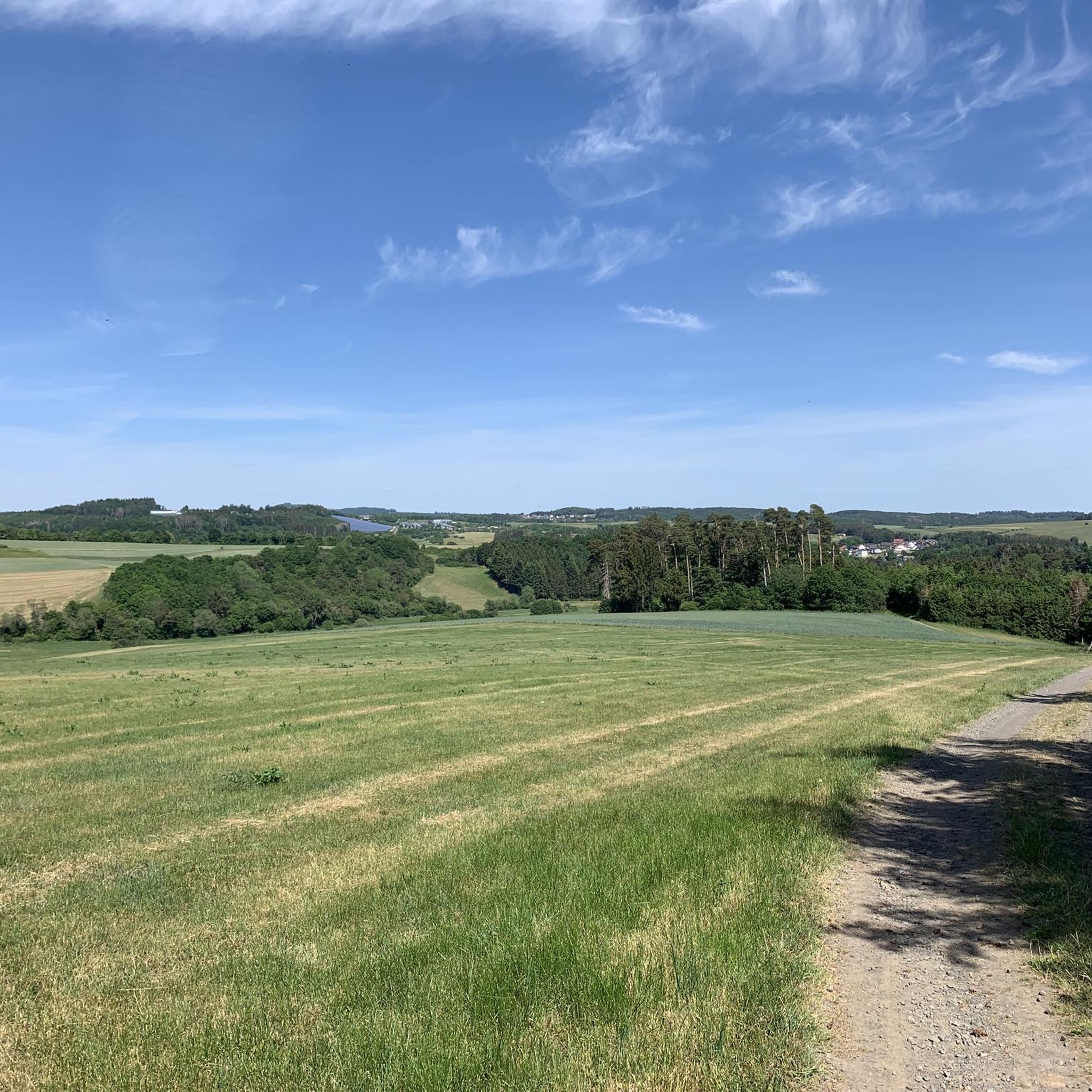
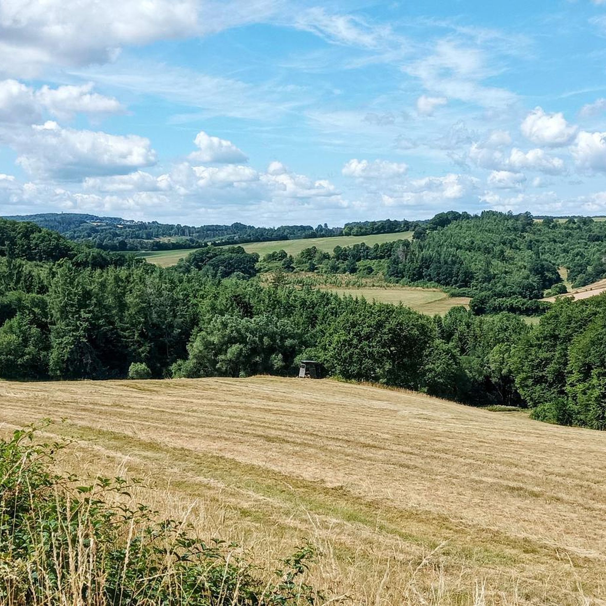
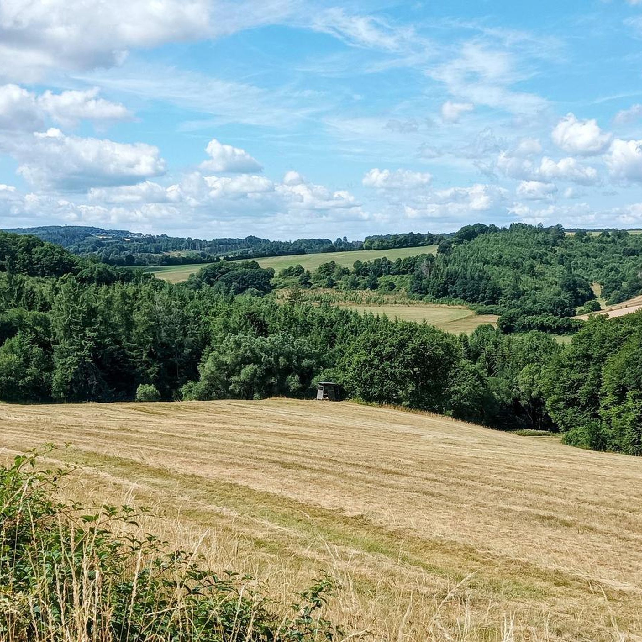
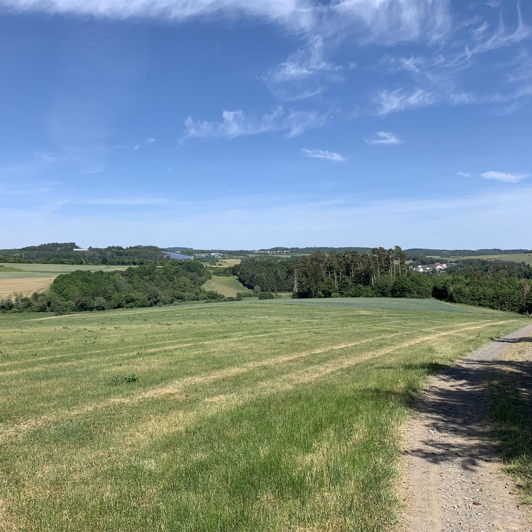
Tips from the Community

Information is available here: www.janshen-ellscheid.de
0
0

A well-maintained cycle path runs around the maar, and beautiful views are guaranteed.
0
0

Great restaurant with truly delicious food. A lovely beer garden and playground for the kids.
0
0

A true paradise stretches out on the edge of the village of Ulmen on a plateau beneath the Steimelskopf, where a volcano once erupted with a tremendous bang, forming a deep crater with a maar lake, which now serves as a renowned bird sanctuary. The exact age of the Jungferweiher lake cannot be determined, but its morphological shape suggests it is several hundred thousand years old. In early modern times, the Lords of Ulmen used the lake as a fishpond for carp breeding, until it gradually silted up over time, and the residents of Ulmen harvested peat from the former maar for heating purposes. However, in 1942, the decision was made to flood the area again by damming the Ulmener Bach to secure the drinking water supply for the Cochem-Zell district. Today, the Jungferweiher lake, located at an altitude of 428 meters above sea level, covers an area of approximately 170,000 square meters with a depth of 0.8 meters. The pond, along with the Ulmener Maar, is protected for its rare flora and fauna. Many endangered species, such as the snipe and the meadow pipit, breed in the reed-rich banks, while ospreys have been observed hunting. Migratory birds such as cranes, teals, and great grey shrikes roost in the meadows near the Ulmener Jungferweiher every year. Therefore, a walk along the approximately 3-kilometer loop is a must, especially during the migration periods in spring and autumn. At the bird observatory on the western bank, you can observe the birds in their natural habitat. Nowadays, a wide variety of fish species thrive in the shallow waters of the Ulmener Weiher, which can be fished from a fishing pier on the southern bank. Swimming and other water sports are prohibited, however. Fishing permits are issued by the local municipal administration in Ulmen. Since 2023, the Ulmener Maar Tunnel has connected the Jungferweiher underground to the Ulmener Maar. A visit to the 126-metre-long tunnel is highly recommended!
7
0
1 million years of geology. Worth putting your bike aside for a moment.
6
0
The fairy-tale fountain at the Alten Postplatz tells a story. Here, on this spot, it is at its most beautiful.
7
0
The Ulmen Maar lies 420 meters above sea level today, covers an area of 5.5 hectares, and is 36 meters deep. The bubbles at the maar's edge demonstrate that volcanism is still active. They bear witness to a turbulent past—but rest assured, there's no eruption in sight! A wall of various rocks and ash, up to 20 meters thick, surrounds the cone. For those interested, these testimonies to this explosive past are beautifully displayed in St. Matthias Church. This unique wall, with its different colored layers and rounded inclusions, is worth seeing for more than just geologists. The slopes of the maar basin are covered with a beautiful forest, which can be explored on a circular walk. A detour to the medieval castle ruins, from which the Crusaders once launched their campaigns, is recommended. The view from the crater rim over the maar and the Eifel beyond will take your breath away. Whether after a sweaty hike or a long drive, the blue of the Ulmer Eifel lake is all too tempting in summer. However, bathing in the maar is prohibited because it is designated as a nature and water protection area.
7
0

For information on the Demerather Mill, a former mill under the Eifel Treaty, see, for example, https://www.eifel.de/go/sehenswertes-detail/demerather_muehle.html. The Demerather Mill was first documented in 1499. The current structure dates back to the 17th century. It was renovated between 1999 and 2001 and expanded with a timber-frame structure.
1
0
Frequently Asked Questions
How many touring cycling routes can I find around Steiningen?
There are over 590 touring cycling routes available around Steiningen, catering to various skill levels and preferences. This extensive network allows cyclists to explore the unique volcanic landscapes and charming valleys of the Volcanic Eifel region.
What kind of terrain can I expect on touring cycling routes in Steiningen?
The terrain around Steiningen is characterized by its volcanic origins, featuring extinct volcanic lakes (maars) and forested volcanic cones. Many routes utilize former railway lines, offering predominantly flat and asphalted surfaces with gentle gradients, making them accessible for various cycling abilities. You'll also encounter deep forests and romantic valleys, with some paths extending towards the Moselle cultural landscape with its vineyards.
Are there any easy touring cycling routes suitable for beginners or families?
Yes, Steiningen offers a good selection of easy routes. The region's paths built on former railway lines, like sections of the Maare-Mosel Cycle Path, are particularly suitable for pleasure cyclists and families due to their gentle gradients and asphalted surfaces. One moderate option that is relatively short is the Großes Schlitzohr Tunnel – Through the 'Große Schlitzohr' loop from Mehren, which is about 9.2 km long.
What are some notable natural features or landmarks I can see along the cycling routes?
Steiningen's routes offer views of unique volcanic maars like the Pulvermaar. You can also experience impressive railway engineering, such as the cool tunnels and high viaducts along paths like the Pleiner Tunnel – Grünewald Viaduct loop from Mehren. For panoramic views, the Dronke Tower on the Mäuseberg offers stunning vistas over the maars, though the path leading to it can be steep. The Maarkreuz — View of the Schalkenmehren Maar is another excellent viewpoint.
Are there any long-distance touring cycling routes that pass through or near Steiningen?
Yes, the renowned Maare-Mosel Cycle Path is a major long-distance route that connects the Volcanic Eifel with the Moselle Valley. It spans about 58 kilometers from Daun to Bernkastel-Kues, following a former railway line. This path is excellent for touring cyclists looking for a longer, scenic ride. You can find more information about this path on VisitMosel.de.
What do other touring cyclists enjoy most about cycling in Steiningen?
The area is highly rated by the komoot community, with an average score of 4.5 stars from over 3,500 reviews. Reviewers often praise the unique volcanic landscapes, the well-maintained paths (especially those on former railway lines), and the variety of routes that cater to different skill levels. The combination of natural beauty and interesting engineering features like tunnels and viaducts is frequently highlighted.
Are there any circular touring cycling routes in the area?
Many of the touring cycling routes around Steiningen are designed as loops, allowing you to start and end at the same point. Examples include the View from Daun Viaduct – Through the 'Große Schlitzohr' loop from Darscheid and the Pulvermaar – Former Gillenfeld Railway Station loop from Mehren. These circular routes make planning your day trip more convenient.
What is the best time of year to go touring cycling in Steiningen?
The spring, summer, and early autumn months generally offer the best conditions for touring cycling in Steiningen. During these seasons, the weather is typically mild, and the natural landscapes, including the maars and forests, are at their most vibrant. The paths are usually clear, and services for cyclists are fully operational.
Is public transport available to access cycling routes in Steiningen?
Yes, a convenient RadBus service operates in the region, specifically designed to transport cyclists and their bikes. This service can take you to popular starting points like Daun, making it easier to plan one-way tours, especially on routes like the Maare-Mosel Cycle Path.
Are there any routes that pass by historical sites or castles?
While the primary focus is on natural and volcanic landscapes, some routes may offer glimpses of historical elements. For example, you might encounter the Freudenkoppe Castle Ruins or the Upper Castle of Ulmen in the broader region. The Strohner Lava Bomb – Schutzalf Memorial Bell Tower loop from Mehren also offers a mix of natural and cultural points of interest.
Are there any particularly challenging routes for experienced touring cyclists?
Yes, for experienced touring cyclists seeking more of a challenge, there are routes with greater elevation changes. The Pleiner Tunnel – Grünewald Viaduct loop from Mehren, for instance, is classified as difficult, covering 58.3 km with over 630 meters of elevation gain, offering a more demanding ride through varied terrain.
Most popular routes around Steiningen
Most popular attractions around Steiningen

Get inspired with the komoot mobile app


Explore more
Browse the best Cycling routes in other regions.
