The best walks and hikes around Agugliano
4.1
(131)
931
hikers
116
hikes
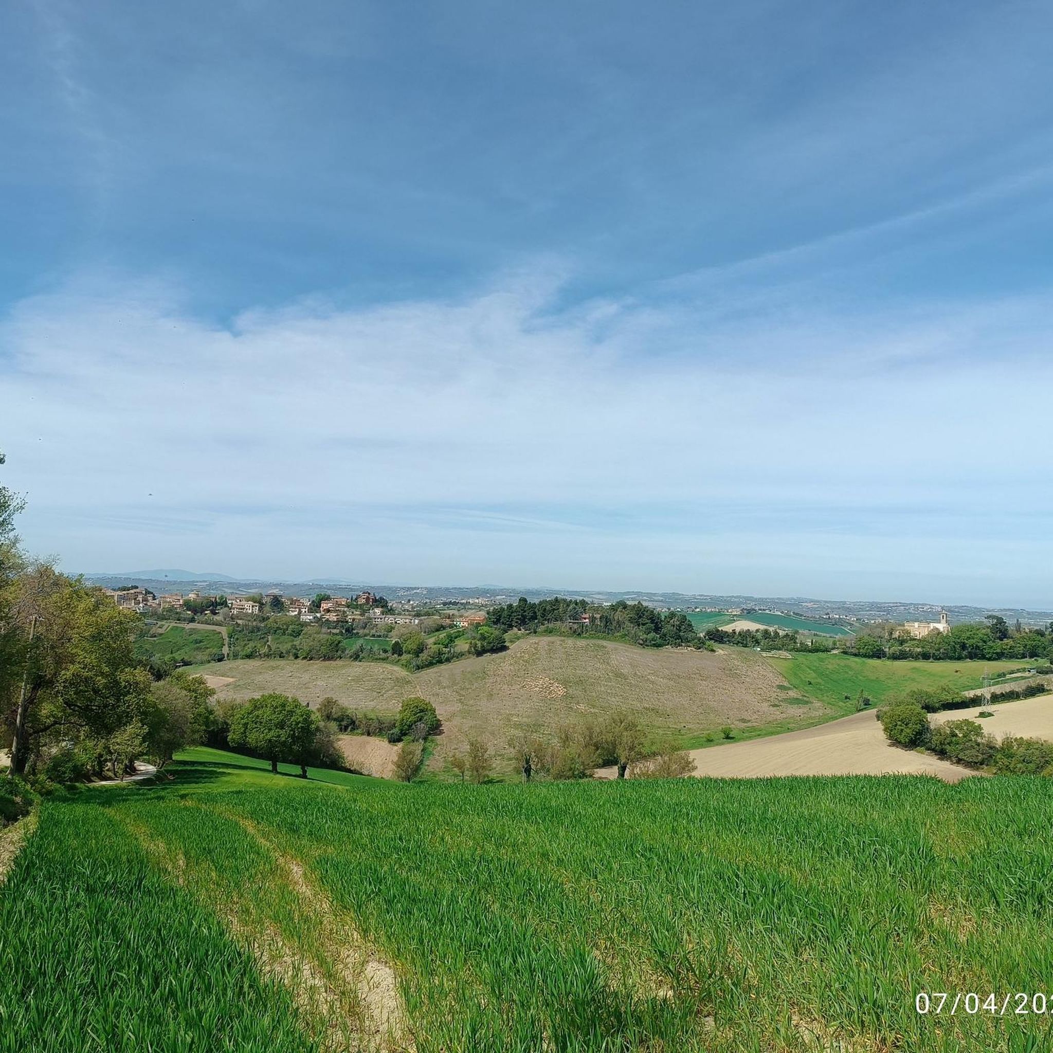
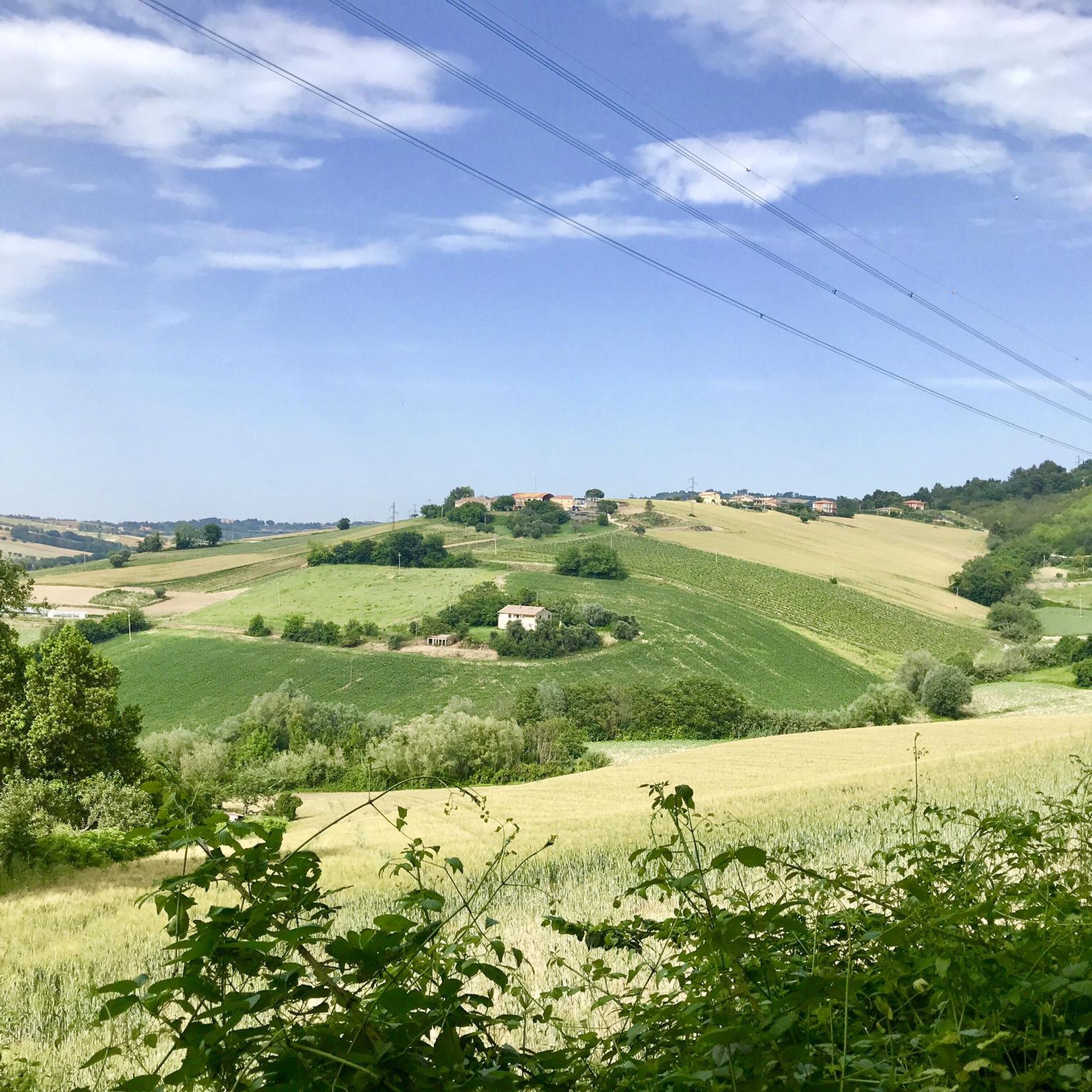
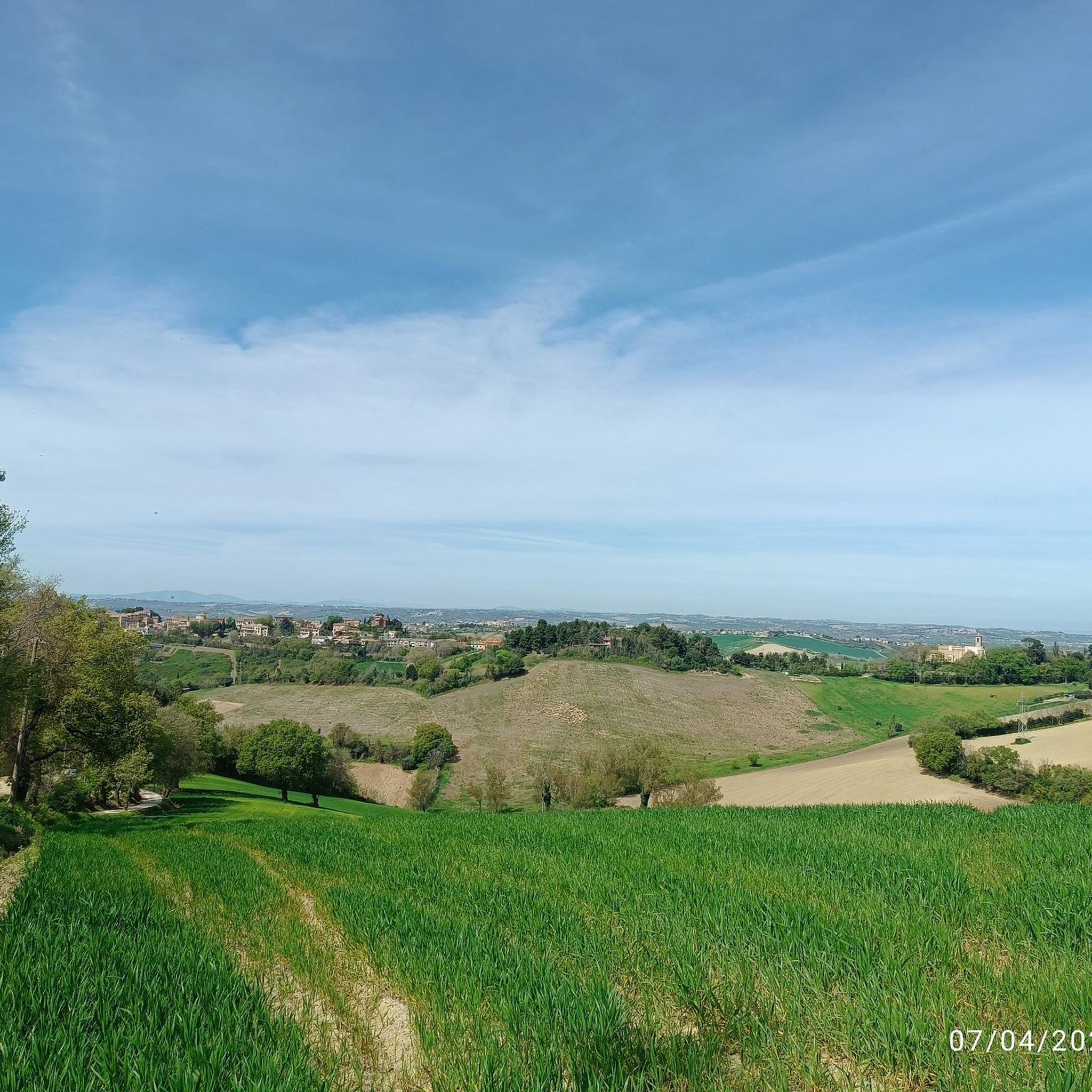
Hiking around Agugliano offers diverse terrain within the picturesque Marche region of Italy. The area is characterized by rolling hills, providing panoramic views and a network of trails. Hikers can explore varied landscapes, from gentle paths through agricultural areas to routes incorporating historical landmarks. The region's natural features include expansive vistas of the surrounding Marche hills.
Best hiking trails around Agugliano
- The most popular hiking route is Abbey of Chiaravalle loop from Chiaravalle, a 9.1 miles (14.7 km) trail…
Last updated: June 24, 2026
3.5
(4)
15
hikers
14.9km
03:45
30m
30m
Moderate hike. Good fitness required. Easily-accessible paths. Suitable for all skill levels.
5.0
(3)
9
hikers
9.11km
02:36
220m
220m
Moderate hike. Good fitness required. Easily-accessible paths. Suitable for all skill levels.

Sign up for free
5.0
(3)
7
hikers
Moderate hike. Good fitness required. Easily-accessible paths. Suitable for all skill levels.
4.0
(4)
15
hikers
7.05km
01:47
10m
10m
Easy hike. Great for any fitness level. Easily-accessible paths. Suitable for all skill levels.
4.0
(4)
13
hikers
6.72km
01:42
20m
20m
Easy hike. Great for any fitness level. Easily-accessible paths. Suitable for all skill levels.
Get access to more routes and recommendations from other explorers.
Sign up for free
Already have an account?
Our route recommendations are based on thousands of hikes, rides, and runs completed by other people on komoot.
Start today with a free account
Your next adventure awaits.
Login or Signup

Tips from the Community

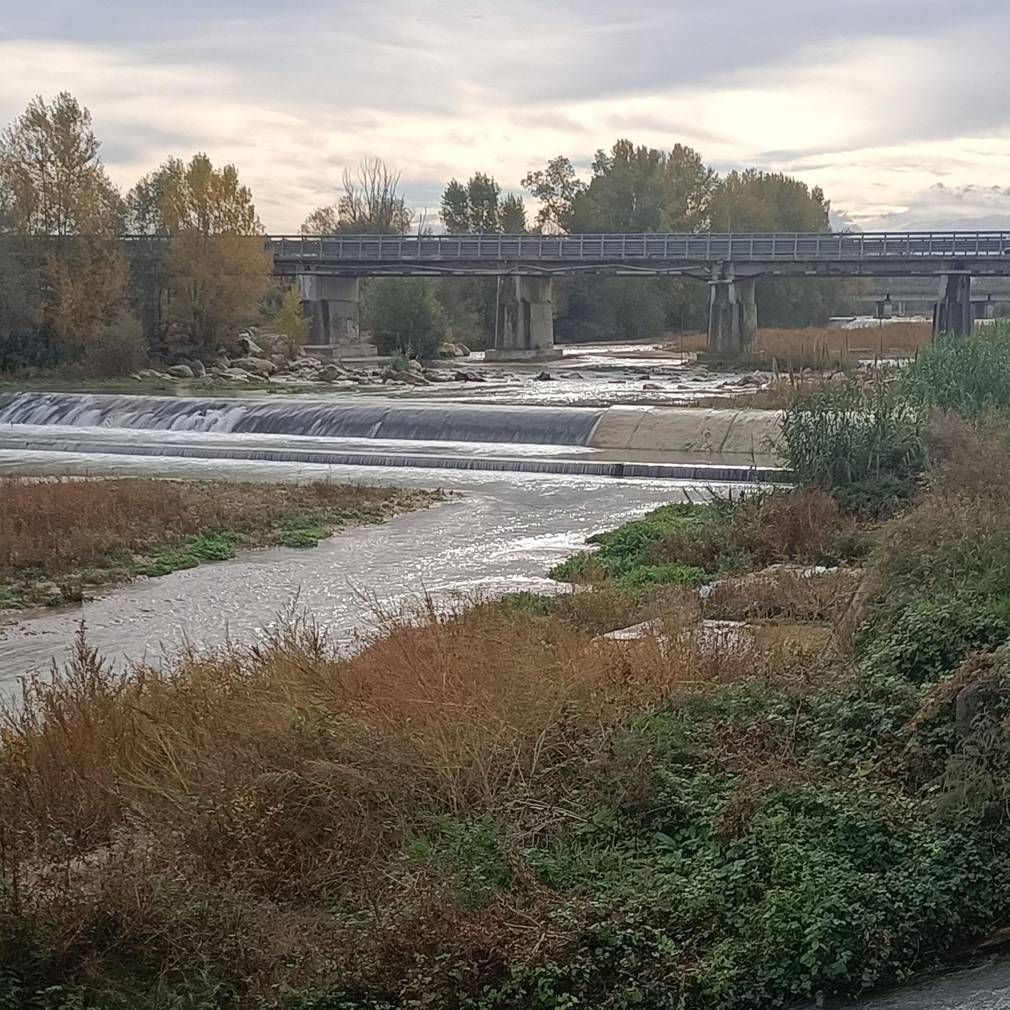
The bridge of the cycle path allows you to cross the Esino river
1
0

Frequently Asked Questions
How many hiking trails are available around Agugliano?
There are nearly 100 hiking trails around Agugliano, offering a wide range of options for different preferences and fitness levels. These routes are highly rated by the komoot community, with an average score of 4.3 stars.
What types of terrain can I expect on hikes near Agugliano?
Hiking around Agugliano primarily features varied terrain within the picturesque Marche region. You can expect rolling hills, open countryside, and paths that sometimes incorporate historical sites. The area offers panoramic views of the surrounding Marche hills.
Are there easy hiking trails suitable for beginners or casual walkers?
Yes, Agugliano offers a good selection of easy hiking trails. Approximately half of the routes are classified as easy, with minimal elevation gain and shorter distances. An example is the Hiking loop from Ancona Airport, which is about 7 km long.
Are there any circular hiking routes in the Agugliano area?
Yes, many of the trails around Agugliano are circular routes, allowing you to start and end in the same location. For instance, the Route Between Cassero and Paterno – Castello del Cassero loop from Cassero is a moderate 7 km circular trail through the gentle Marche hills.
What historical landmarks or points of interest can I see while hiking?
Hiking routes around Agugliano often integrate historical and cultural elements. You might encounter ancient castles, like the one in Castel d'Emilio, or significant religious sites. For example, the Abbey of Chiaravalle loop from Chiaravalle leads to a site of historical significance. Other nearby attractions include the Cathedral of San Leopardo (Osimo Cathedral) and Federico II Square and Pergolesi Theatre.
What is the best time of year to go hiking in Agugliano?
The Marche region generally offers pleasant hiking conditions during spring and autumn, when temperatures are mild and the landscape is vibrant. Summer can be warm, but early mornings or late afternoons are still suitable for exploring. Winter hiking is possible, but some trails might be less accessible depending on weather conditions.
Are there family-friendly hiking options around Agugliano?
Yes, Agugliano offers trails suitable for families. Many of the easy routes, such as the Pasolini Cycle Path – Abbey of Chiaravalle loop from Chiaravalle, are relatively flat and shorter, making them ideal for walks with children. The varied terrain ensures there are options for different ages and abilities.
What amenities are available in Agugliano for hikers?
Agugliano is a charming village that serves as a pleasant base for hikers. After a day on the trails, you can enjoy the local ambiance, including cafes and restaurants. The village is known for its artisan ice cream, offering a nice treat. Accommodation options like guesthouses are also available.
Are there any viewpoints or scenic spots along the trails?
Agugliano, being a 'Land of Castles' village, is situated in an elevated position, providing excellent panoramic spots. Hikers can enjoy expansive vistas of the surrounding Marche hills from various points along the trails, including dedicated panoramic terraces and gardens within the ancient village walls.
What do other hikers appreciate most about the trails in Agugliano?
The trails in Agugliano are highly rated by the komoot community, with an average score of 4.3 stars from over 90 reviews. Hikers often praise the diverse terrain, the beautiful panoramic views of the Marche hills, and the opportunity to combine natural beauty with historical exploration.
Is there public transport available to reach hiking trailheads near Agugliano?
While specific public transport routes to every trailhead may vary, Agugliano is accessible, and some routes, like the Hiking loop from Ancona Airport, suggest proximity to transport hubs. It's advisable to check local bus schedules for connections to the village and nearby starting points.
Are there parking facilities available near the hiking trails?
Yes, parking is generally available in and around Agugliano, especially near popular starting points for trails. Many routes, such as the Castello del Cassero loop from Castel d'Emilio, originate from villages or areas where parking can be found, making it convenient for hikers arriving by car.
Most popular routes around Agugliano
Most popular attractions around Agugliano

Get inspired with the komoot mobile app


Explore more
Browse the best Hikes in other regions.
