The best walks and hikes around Steinbach am Donnersberg
4.6
(10126)
34,946
hikers
21
hikes
Hiking around Steinbach am Donnersberg offers diverse landscapes, from green meadows and wooded slopes to vineyards and the hilly terrain of the Nordpfälzer Bergland. The region is dominated by the Donnersberg mountain, the highest elevation in the Palatinate at 686 meters, providing numerous hiking opportunities. Trails often feature panoramic viewpoints and historical sites.
Best hiking trails around Steinbach am Donnersberg
- The most popular hiking route is Kupferberg Hut – View of Imsbach loop from Steinbach am Donnersberg, a 11.6…
Last updated: August 18, 2026
5.0
(3)
20
hikers
Moderate hike. Good fitness required. Mostly accessible paths. Sure-footedness required.
4.6
(5)
15
hikers
Moderate hike. Good fitness required. Easily-accessible paths. Suitable for all skill levels.

Sign up for free
3.7
(3)
23
hikers
12.3km
03:40
390m
390m
Moderate hike. Good fitness required. Easily-accessible paths. Suitable for all skill levels.
4.9
(8)
20
hikers
6.40km
01:48
140m
140m
Easy hike. Great for any fitness level. Easily-accessible paths. Suitable for all skill levels.
5.0
(8)
16
hikers
Moderate hike. Good fitness required. Easily-accessible paths. Suitable for all skill levels.
Get access to more routes and recommendations from other explorers.
Sign up for free
Already have an account?
Our route recommendations are based on thousands of hikes, rides, and runs completed by other people on komoot.
Start today with a free account
Your next adventure awaits.
Login or Signup

Tips from the Community

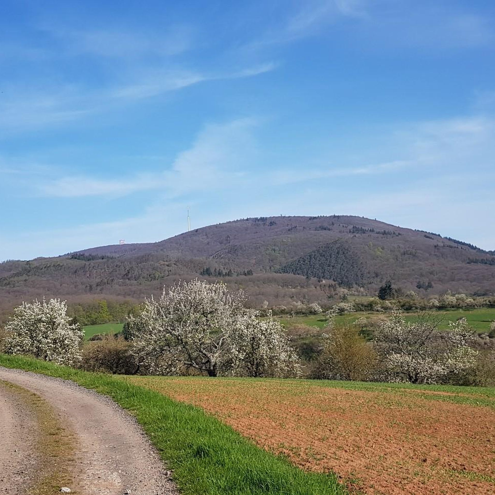
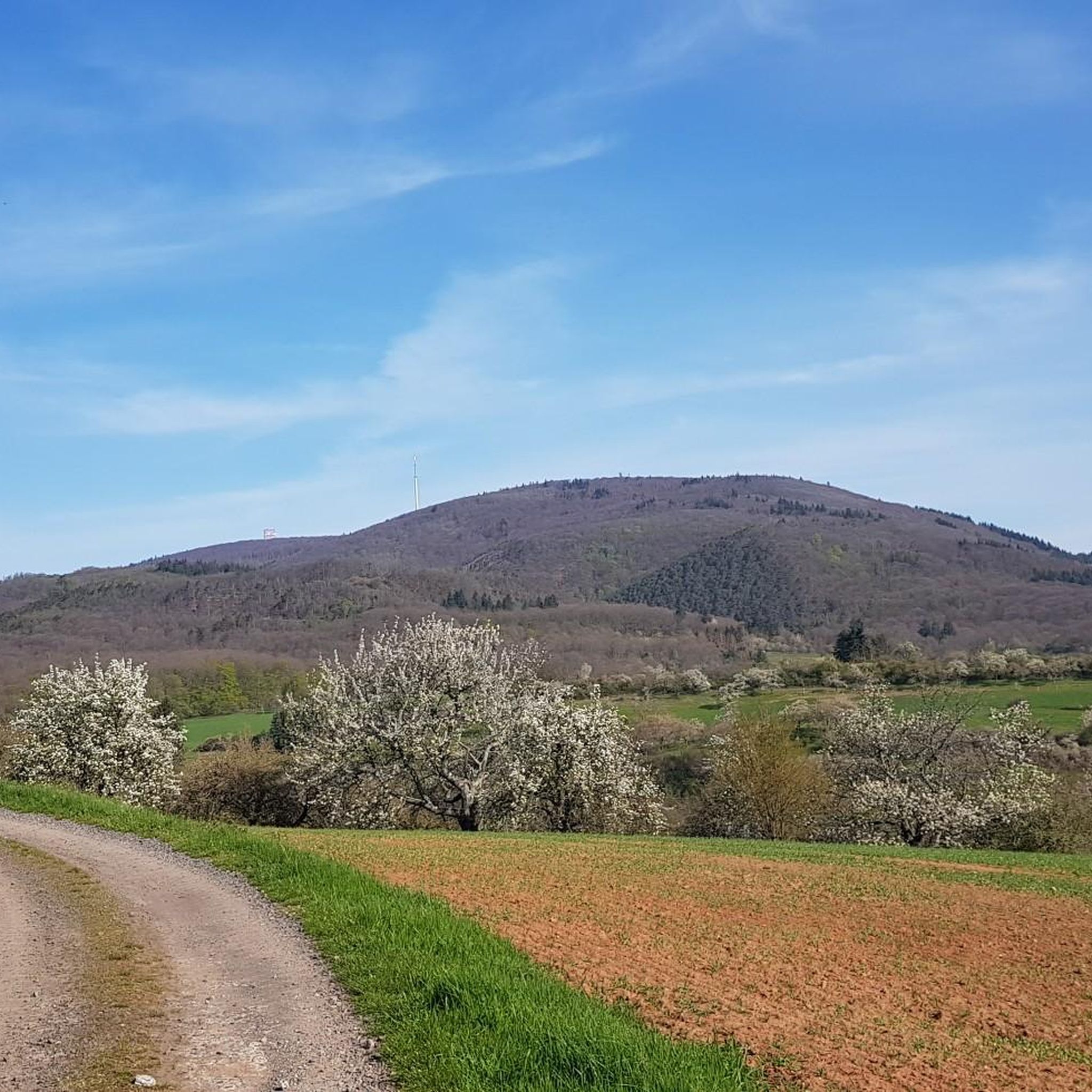
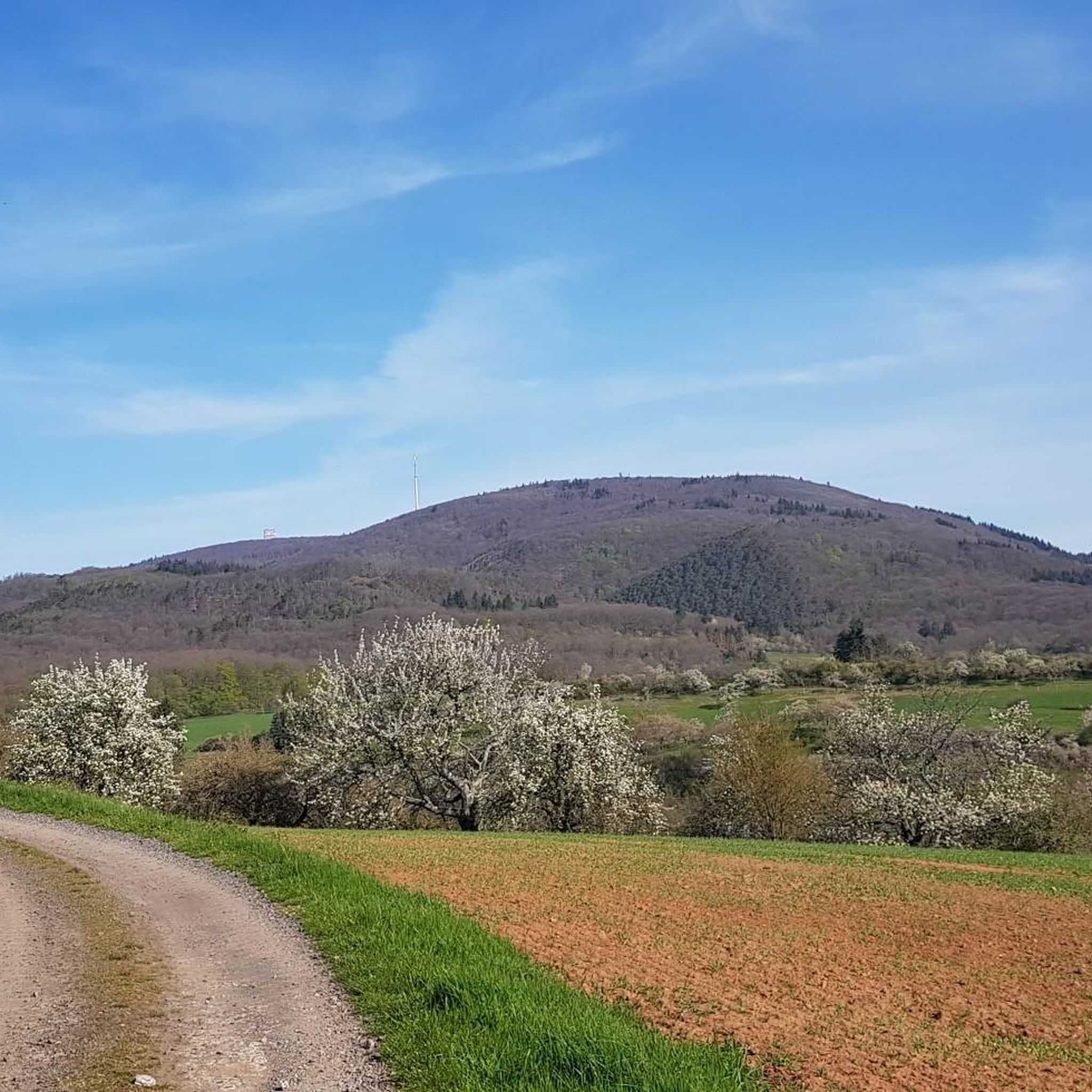
At this highlight, neither the PWV hut nor the Celtic village is located. From here you have a magnificent view of the Donnersberg. It is very beautiful, but that's it.
1
0

when there is water nice cooling
0
0

Beautiful place of tranquility to rest once more just before the end of the hike and let your soul dangle.
0
0
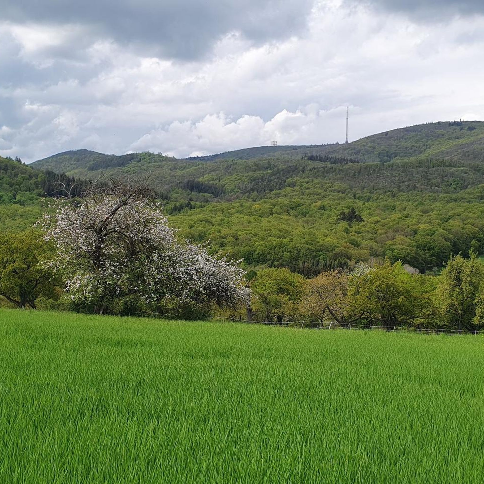
beautiful path from Steinbach towards Donnersberg
0
0
Frequently Asked Questions
How many hiking trails are available around Steinbach am Donnersberg?
There are over 20 hiking routes in the Steinbach am Donnersberg area, catering to various skill levels. The komoot community has explored more than 24 different tours here.
Are there easy hiking trails suitable for beginners or families?
Yes, Steinbach am Donnersberg offers several easy routes. For a family-friendly option, consider the Laubbachtal Nature Discovery Trail – Sternbacher Hut loop from Steinbach am Donnersberg, which is about 6.2 miles (9.9 km) long and leads through natural landscapes. The region also features paths like the Barbarossa Trail, known for leading to old castle remains, which can be suitable for families.
What kind of viewpoints can I expect on the hikes?
The region is rich in panoramic viewpoints. The Donnersberg mountain's summit, Königsstuhl, offers breathtaking views of the Palatinate. Other notable spots include the Adlerbogen Viewpoint, providing stunning easterly views over the Zellertal and Worms, and the Hirtenfels, another beautiful vantage point at 630 meters above sea level. The Ludwigsturm is also a significant landmark often integrated into tours, offering additional scenic overlooks.
Are there any historical or cultural attractions along the hiking routes?
Absolutely. Many routes pass by historical sites. You can explore the Celtic Rampart Trail, which features 13 stations with information boards explaining Celtic history. The Celtic Village in Steinbach also offers an open-air museum. Additionally, you might encounter old churches, various pits, adits, and open-cast mines with panels detailing the mining history at Donnersberg.
Can I find circular hiking routes in Steinbach am Donnersberg?
Yes, many of the trails are circular routes, perfect for exploring the diverse landscapes without retracing your steps. An example is the Ludwig Tower, Donnersberg loop from Steinbach am Donnersberg, which covers about 12 km and takes you around significant landmarks.
What are the most challenging hikes in the area?
For experienced hikers seeking a challenge, the Kupferberg Hut – View of Imsbach loop from Steinbach am Donnersberg is a difficult 11.6-mile (18.7 km) trail with significant elevation changes, offering expansive views over the Palatinate region.
Are dogs allowed on the hiking trails?
Generally, dogs are welcome on most hiking trails in the region. It's always advisable to keep them on a leash, especially in nature reserves or areas with livestock, and to respect local signage regarding pet regulations.
What natural features define the hiking experience here?
The hiking experience is characterized by the prominent Donnersberg mountain, diverse terrain including picturesque vineyards, rustic forest sections, and the hilly landscape of the Nordpfälzer Bergland. You'll also encounter small lakes and streams, and unique rock formations like those found on the Saufels rock formation – Iron Man at Beutelfels loop.
What do other hikers say about the trails in Steinbach am Donnersberg?
The routes in Steinbach am Donnersberg are highly rated by the komoot community, with an average score of 4.6 stars from over 2600 reviews. Hikers often praise the varied terrain, well-maintained paths, and the stunning panoramic views from the Donnersberg.
Are there any gorges or unique natural formations to explore nearby?
Yes, the region features interesting gorges. The Falkenstein Gorge is a notable natural attraction, offering a different kind of landscape to explore with steep stone steps and unique rock formations.
Is there parking available for hikers?
Yes, parking is generally available at trailheads and popular starting points around Steinbach am Donnersberg, especially near the Donnersberg mountain and in the village itself. Specific parking information can often be found on individual route descriptions.
Most popular routes around Steinbach am Donnersberg
Most popular attractions around Steinbach am Donnersberg

Get inspired with the komoot mobile app


Explore more
Browse the best Hikes in other regions.
