The best mountain hikes around Gaby
4.3
(7)
56
hikers
3
hikes
Mountaineering routes around Gaby are situated in Italy's Aosta Valley, a region characterized by its high alpine environment. The area features wooded slopes, expansive alpine meadows, and views of the Monte Rosa massif. The Lys Valley, where Gaby is located, is framed by significant mountain passes and offers abundant granite and gneiss rock formations, providing diverse terrain for mountaineering.
Best mountaineering routes around Gaby
- The most popular mountaineering route is Lago della Vecchia – Rifugio Lago della Vecchia loop from…
Last updated: August 14, 2026
4.0
(3)
15
hikers
13.5km
06:43
1,090m
1,090m
Hard mountaineering route. Very good fitness required. Sure-footedness, sturdy shoes and alpine experience required.
4.5
(2)
13
hikers
17.3km
07:47
1,130m
1,130m
Hard mountaineering route. Very good fitness required. Sure-footedness, sturdy shoes and alpine experience required.

Sign up for free
4.5
(2)
14
hikers
13.1km
06:33
1,090m
1,090m
Hard mountaineering route. Very good fitness required. Sure-footedness, sturdy shoes and alpine experience required.
11
hikers
11.7km
06:43
1,070m
1,070m
Hard mountaineering route. Very good fitness required. Sure-footedness, sturdy shoes and alpine experience required.
4
hikers
15.8km
07:54
1,270m
1,270m
Hard mountaineering route. Very good fitness required. Sure-footedness, sturdy shoes and alpine experience required.
Our route recommendations are based on thousands of hikes, rides, and runs completed by other people on komoot.
Start today with a free account
Your next adventure awaits.
Login or Signup
Popular around Gaby

Alta Via n. 1 of the Aosta Valley — a walk among Italian giants

GTA Central Piedmont – Dense forests, lakes and impressive waterfalls
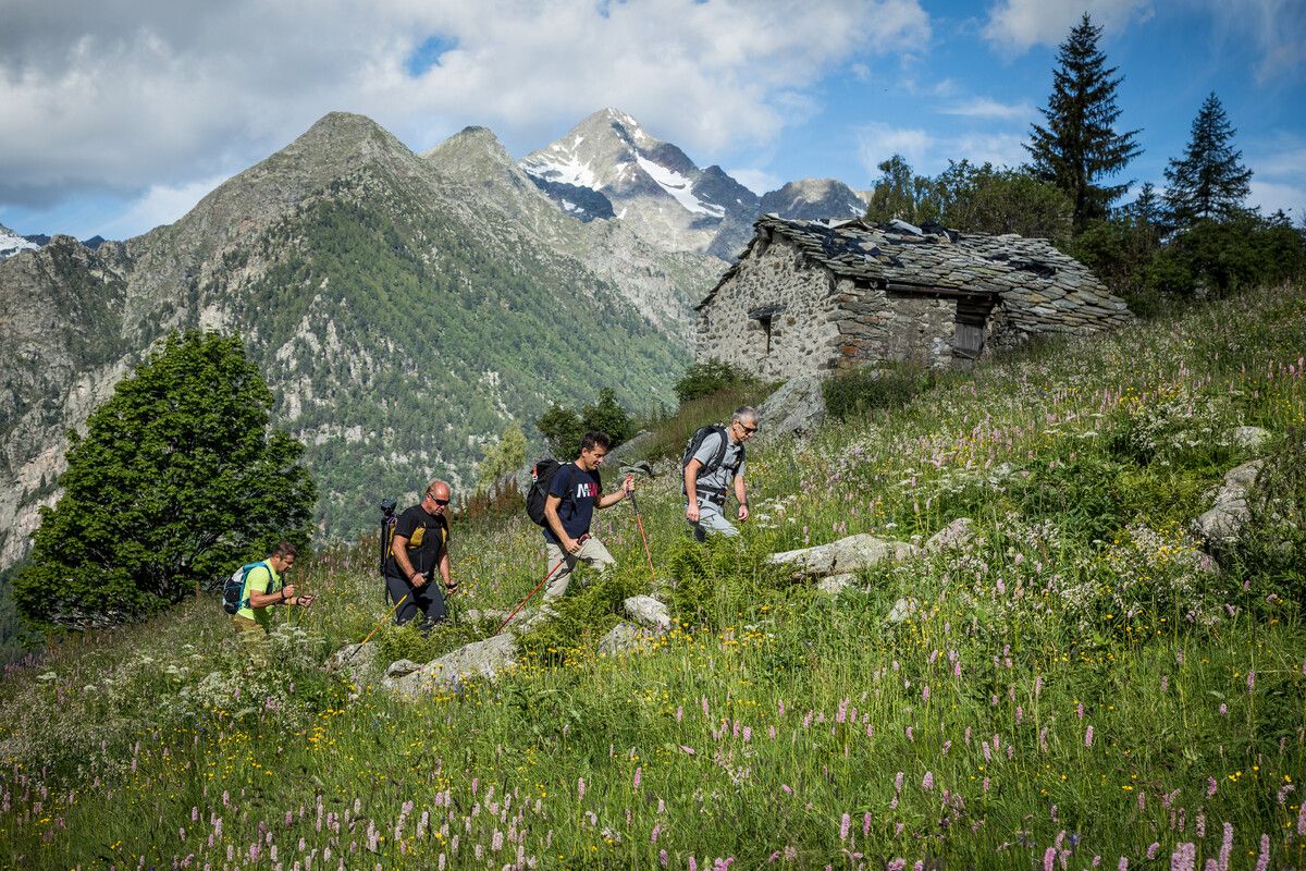
Hidden trails in the Aosta Valley – mountains you don't yet know

A walk among Italian giants — Aosta Valley High Route 1
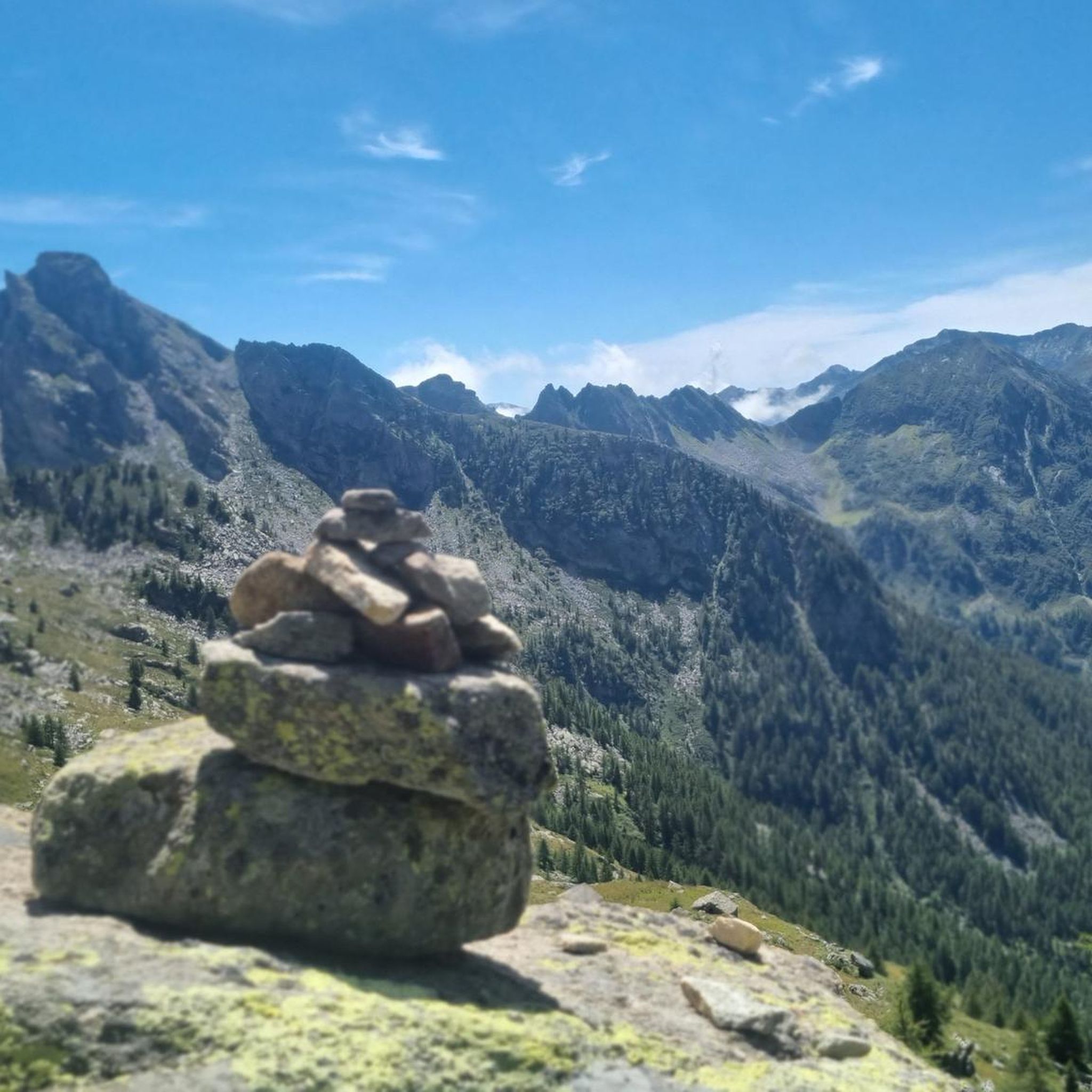
Hiking around Gaby
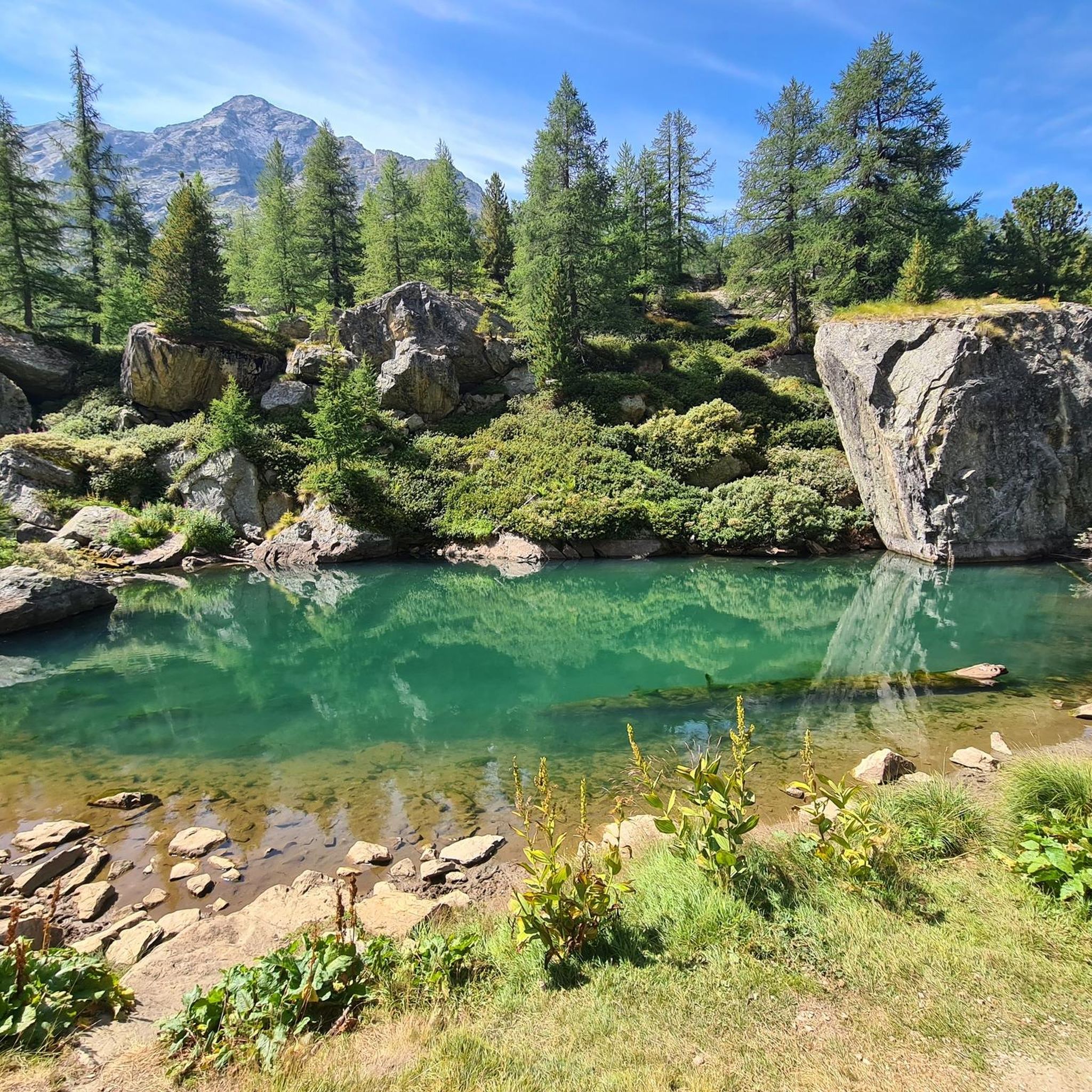
Running Trails around Gaby
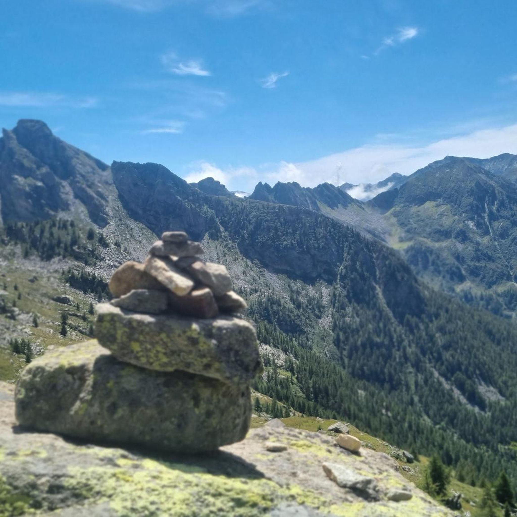
Road Cycling Routes around Gaby
Cycling around Gaby
MTB Trails around Gaby
Other adventures around Gaby


Tips from the Community

Loop tour starting from Estoul. Punta Palasinaz is the highest and most panoramic point with a 360° view of the peaks and the lakes below. (Difficulty E -- for the ridge EE)Stop and relax at the Arp refuge before the ascent or on the return of the loop from Punta Palasinaz
1
0


Refuge located on the Valdobbia pass, on the border between Piedmont and Aosta Valley, and it is possible to reach it from the Lys valley or from Valsesia, via hiking trails. It is the highest hospice in Europe at 2480 meters above sea level, and it offered hospitality to merchants, wayfarers, and pilgrims who passed through here.
0
0

glacial lake that gives rise to the Oropa stream
0
0
built in 1936 and restored in 2006
0
0
arrival station and panoramic view of the Sanctuary
0
3
beautiful dirt road with dry stone walls and natural ground (without added gravel)
0
3
at the end of 2025 the dirt road track was improved and made passable by off-road vehicles and bikes, with the elimination and covering of the previous ford on the Oropa
0
0
Frequently Asked Questions
What kind of terrain can I expect on mountaineering routes around Gaby?
Mountaineering routes around Gaby, located in Italy's Aosta Valley, feature a high alpine environment. You will encounter wooded slopes, expansive alpine meadows, and diverse rock formations primarily composed of granite and gneiss. The area also offers views of the majestic Monte Rosa massif.
Are there many challenging mountaineering routes in Gaby?
Yes, Gaby is well-suited for experienced mountaineers. Out of the 7 available routes, 6 are classified as difficult. These challenging paths often involve significant elevation gain and technical sections. An example is the View of the Lakes – Corno Bussòla loop from Praitou, which covers 17.2 km with over 1100 meters of ascent.
Are there any moderate mountaineering options for those with less experience?
While most routes are difficult, there is at least one moderate mountaineering route available. The Lago della Vecchia – Rifugio Lago della Vecchia loop from Piedicavallo is a 11.1 km trail that offers classic alpine scenery and leads to a mountain refuge, typically taking around 4 hours 22 minutes to complete.
What do other mountaineers say about the routes in Gaby?
The mountaineering routes in Gaby are highly regarded by the komoot community, holding an average rating of 4.6 stars from more than 5 reviews. Users frequently praise the varied terrain, from high alpine meadows to challenging ridges and granite formations.
Are there any circular mountaineering routes in the Gaby area?
Yes, several routes around Gaby are designed as loops, allowing you to start and end at the same point. Examples include the Cresta Carisey loop from Fontainemore, which takes you through alpine ridges and forests, and the Monte Tovo – Bocchetta di Finestra loop from Oropa.
What are some notable natural landmarks or points of interest near the mountaineering routes?
The region offers several interesting natural and historical points. You can explore Lake Vargno or visit the historic Alpenzu Grande Village. Mountain passes like Col de Joux also offer scenic views.
Are there mountain huts or refuges along the routes for breaks or overnight stays?
Yes, the area around Gaby features several mountain huts and refuges. Notable options include Rifugio della Balma, Lago della Vecchia Hut, and ARP Mountain Hut. These provide opportunities for rest and shelter during your mountaineering adventures.
What is the typical duration for mountaineering routes in Gaby?
The duration of routes varies depending on difficulty and length. Moderate routes, like the Lago della Vecchia loop, can take around 4 hours 22 minutes. More challenging routes, such as the Lago colle Valdobbiola – Ospizio Sottile loop from Gressoney-Saint-Jean, can extend to over 7 hours 40 minutes, requiring a full day's commitment.
Are there any cultural or historical attractions to visit in the vicinity of Gaby?
Beyond the natural beauty, you can visit the impressive Oropa Sanctuary, a significant religious building in the region. Additionally, exploring traditional settlements like Sant'Antonio Alpine Village in Valle Vogna offers a glimpse into local heritage.
What are the general conditions for winter mountaineering in Gaby?
Gaby is situated in a high alpine environment within the Aosta Valley. While specific winter conditions can vary, mountaineering in this region during winter typically involves significant snow cover, potential avalanche risks, and colder temperatures. Specialized equipment and experience are essential for winter ascents.
Most popular attractions around Gaby

Get inspired with the komoot mobile app


Explore more
Browse the best Mountain Hikes & Routes in other regions.
