The best mountain hikes around Torgnon
4.2
(4)
28
hikers
3
hikes
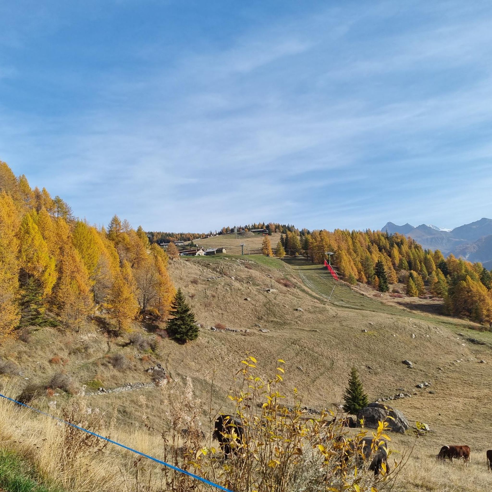
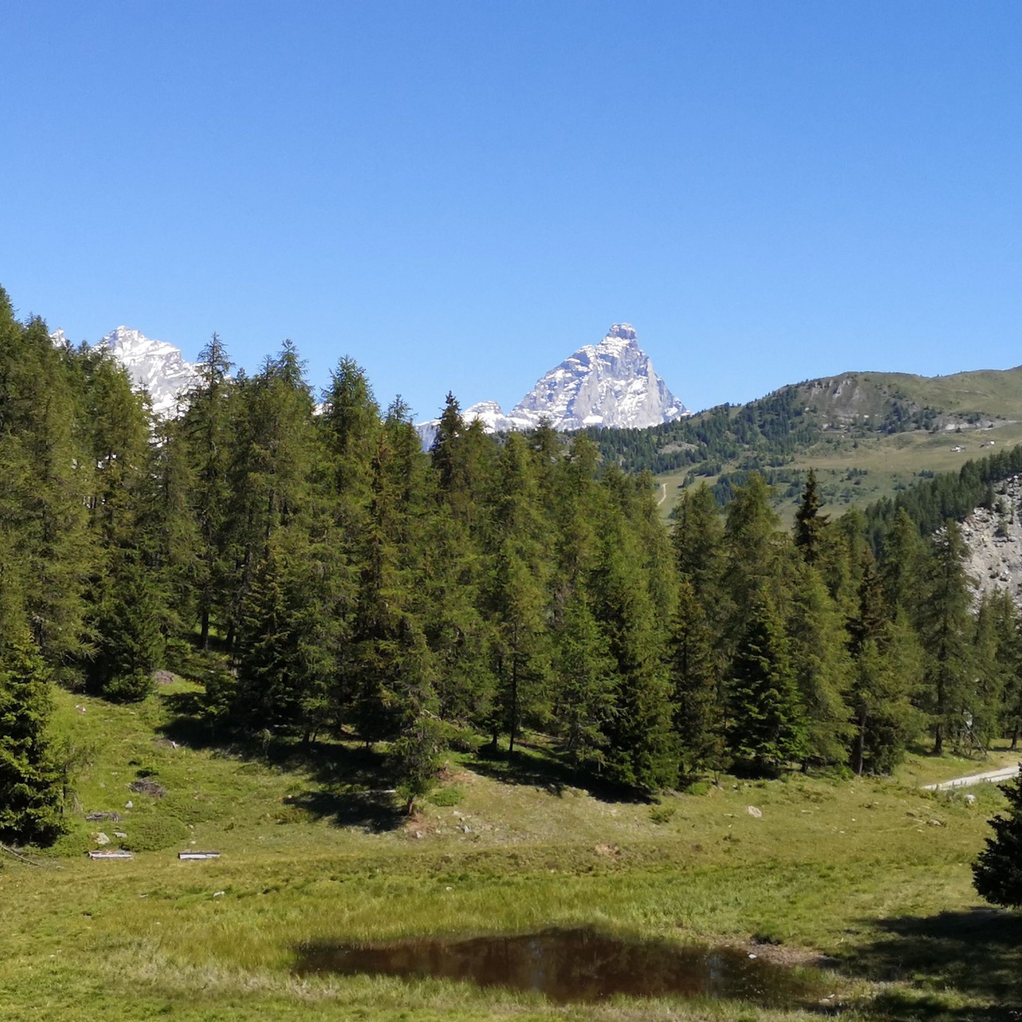
Mountaineering trails Torgnon Aosta Valley are set within the upper Aosta Valley, offering diverse terrain for outdoor enthusiasts. The region is characterized by vast green meadows, dense pine and larch forests, and high-altitude alpine environments. Mountaineers can expect panoramic views of iconic Alpine peaks, including the Matterhorn and Monte Rosa group, alongside natural features like mountain lakes and ponds. This varied landscape provides a rich backdrop for exploration, with routes ranging from moderate to difficult.
Best mountaineering routes around Torgnon
…Last updated: October 8, 2026
3.0
(1)
23
hikers
2.01km
00:58
180m
180m
Moderate mountaineering route. Great for any fitness level. Mostly accessible paths. Sure-footedness required.
4.5
(2)
4
hikers
15.5km
06:51
1,180m
1,180m
Hard mountaineering route. Very good fitness required. Sure-footedness, sturdy shoes and alpine experience required.

5.0
(1)
5
hikers
9.65km
04:38
740m
730m
Moderate mountaineering route. Good fitness required. Mostly accessible paths. Sure-footedness required.
Our route recommendations are based on thousands of hikes, rides, and runs completed by other people on komoot.
Start today with a free account
Your next adventure awaits.
Popular around Torgnon
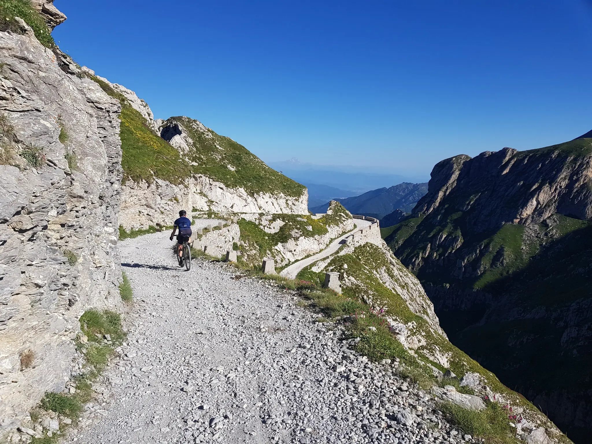
From the boot’s toe to the heel – the most beautiful cycling Tours in Italy
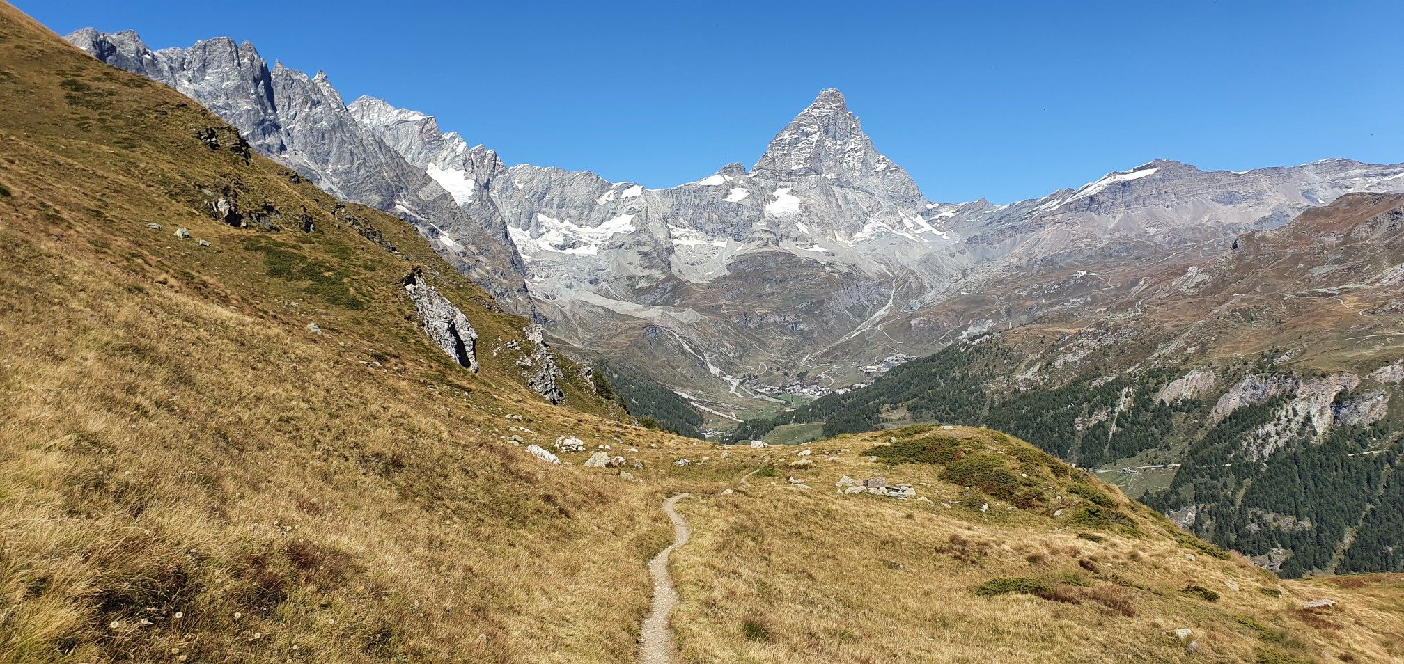
A breath away from the king — Grand Balcony of the Matterhorn
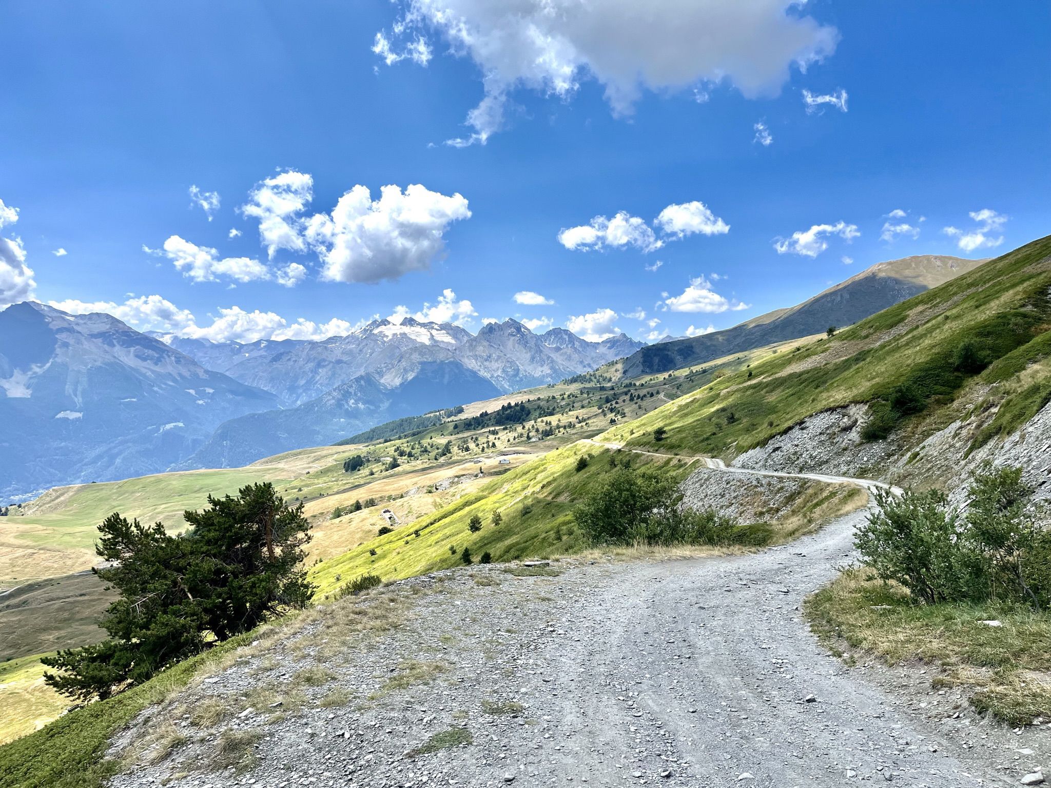
Mountain biking with a glacier backdrop – rides in Italy’s Aosta Valley
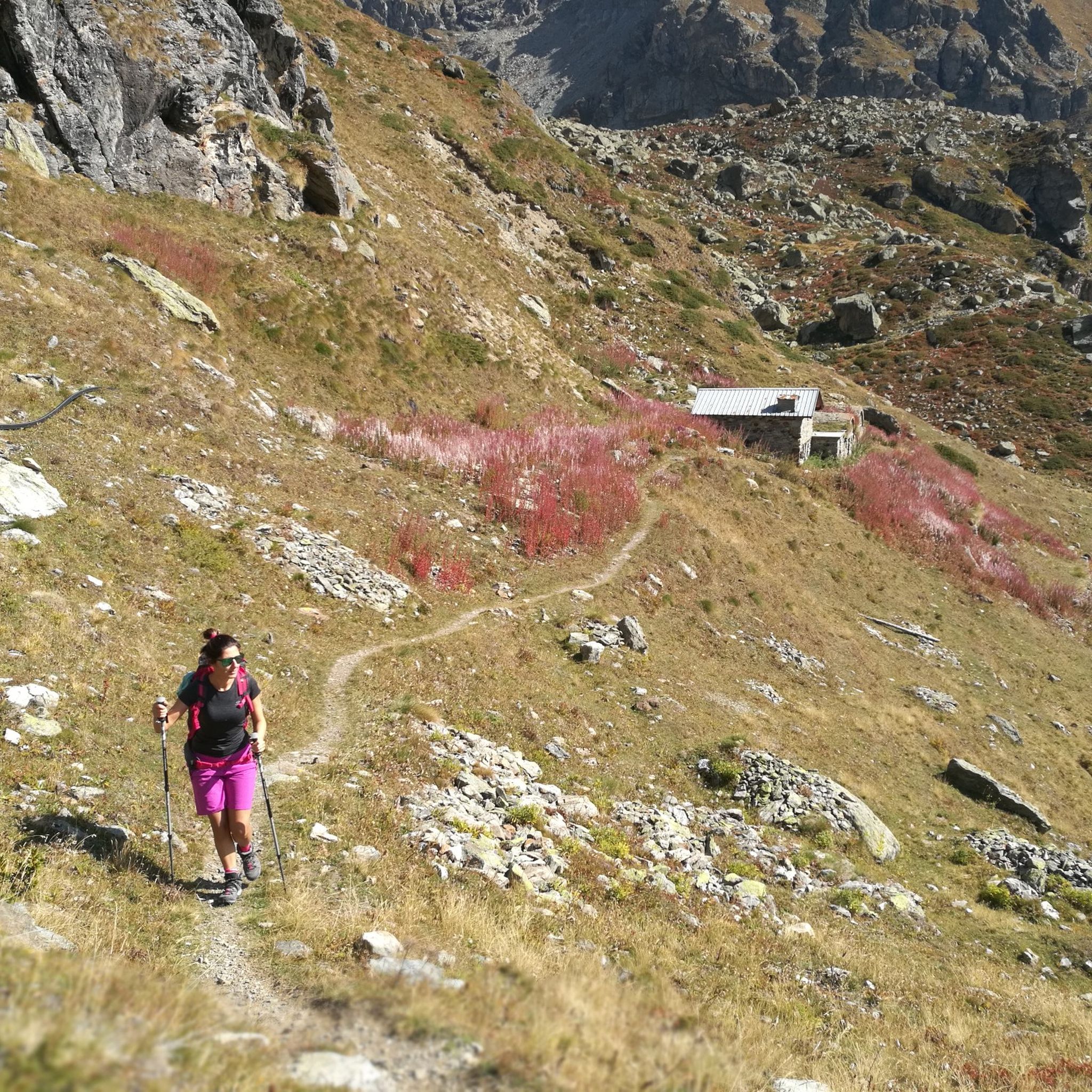
Hiking around Torgnon
Road Cycling Routes around Torgnon
MTB Trails around Torgnon
Cycling around Torgnon

Gravel biking around Torgnon
Running Trails around Torgnon
Other adventures around Torgnon


Tips from the Community

Impressive view in good weather
0
0

The hike that connects the Jean Barmasse Refuge to Lake Cignana is a route that combines nature, breathtaking views and Alpine tranquility. Along well-marked paths, you cross pastures, woods and panoramic points from which to admire the surrounding peaks, including Monte Rosa and the Matterhorn. This walk, suitable for medium-level hikers, offers the thrill of immersing yourself in an authentic and evocative environment, where every step brings you closer to postcard landscapes and moments of pure serenity at high altitude.
1
0
Rifugio Jean Barmasse, at 2,169 meters above sea level in Valtournenche, is a welcoming refuge that welcomes hikers looking for tranquility and breathtaking views. Immersed in a unique natural setting, it offers a rustic and warm atmosphere, perfect for recharging your batteries after a day on trails and Alpine lakes. Its strategic position makes it an ideal starting point for exploring the wonders of Alta Via 1 and the surrounding mountains.
1
0
Falegnon is a mountain pasture located at 1,914 meters above sea level in Valtournenche. This small mountain village, once a lively center of pastoral activity, today features a combination of abandoned and renovated huts, immersed in a panoramic landscape characterized by large green meadows. Falegnon is an ideal crossing point for excursions to Lake Cignana or the Jean Barmasse Refuge, offering an authentic experience of traditional Alpine life.
1
0


Colle that you meet going up from Barmasc towards the classic excursion to Zerbion. We are at an altitude of 2410 m and the steepest section ends here. Turning your gaze to the left, the statue of the Madonna placed on top of the Zerbion is already visible
4
0
It deserves to climb Zerbion at least once in your life, with its priceless panoramic view over the whole Ayas valley. I therefore advise you to choose a clear day so as not to lose all the panoramas that can be admired both at the summit and during the upper part of the excursion. It starts from the hamlet of Barmasc and can be reached in about 3 hours, a trip suitable for everyone which, in the absence of snow, presents no difficulties, just a few steep sections. Along the way, many young people and even over 60s.
7
2
Frequently Asked Questions
How many mountaineering routes are available in Torgnon?
Torgnon offers a selection of 8 mountaineering routes, catering to various skill levels. You'll find 3 moderate routes and 5 more challenging, difficult options to explore the diverse alpine terrain.
What are the typical difficulties of mountaineering routes in Torgnon?
Mountaineering routes in Torgnon range from moderate to difficult. For instance, the Oriondé Hut (2802 m) – Breuil-Cervinia Town Center loop is a moderate option, while the Oriondé Hut (2802 m) – Plan Maison Cable Car Station loop presents a more difficult challenge.
Are there any circular mountaineering trails in Torgnon?
Yes, several mountaineering routes in Torgnon are circular. Examples include the moderate Ferrata del Gorbeillon loop from Valtournenche and the more demanding View of Monte Rosa loop from Antagnod.
What kind of views can I expect on mountaineering routes in Torgnon?
Mountaineering in Torgnon is renowned for its panoramic vistas. You can expect breathtaking views of iconic Alpine peaks, including the majestic Matterhorn and the impressive Monte Rosa group, often visible from trails like the View of Monte Rosa loop from Antagnod. The region's 'pays du soleil' reputation ensures many clear days to enjoy these sights.
What natural features can I see along the mountaineering routes?
The routes traverse diverse landscapes, from sprawling green meadows and dense pine and larch forests to high-altitude alpine environments. You might encounter picturesque mountain lakes, such as the Lo Ditor pond, and observe local wildlife like marmots, ibex, and chamois, alongside alpine flora like Edelweiss.
Are there any notable landmarks or points of interest near the mountaineering routes?
Yes, the Torgnon area is rich with natural and man-made landmarks. You can find beautiful mountain passes like Col de Joux and Fontaines Pass. Additionally, there are stunning lakes such as Lago di Lod and the impressive Place Moulin Dam. Many routes also pass by mountain huts like Prarayer Hut.
What do other mountaineers say about the routes in Torgnon?
The mountaineering routes in Torgnon are highly regarded by the komoot community, holding an average rating of 4.3 stars from 5 reviews. Users often praise the diverse high-altitude alpine environments and the stunning panoramic views of iconic Alpine peaks.
What is the best time of year for mountaineering in Torgnon?
Torgnon, known as the 'pays du soleil' (land of the sun), generally offers consistently sunny weather, making it inviting for outdoor pursuits throughout the year. For mountaineering, the summer and early autumn months typically provide the most favorable conditions, with trails clear of snow and stable weather.
Are there any particularly challenging mountaineering routes for experienced climbers?
For experienced mountaineers seeking a challenge, Torgnon offers several difficult routes. The Rifugio Nacamuli to Col Collon loop from Bionaz is one such demanding option, covering over 16 km and involving significant elevation gain. Peaks like Cima Bianca, Méabé, and Punta Tsan also present thrilling ascents, with Punta Tzan involving rock climbing sections.
Are there any routes that include a via ferrata section?
Yes, for those interested in a focused adventure with fixed cables and ladders, the Ferrata del Gorbeillon loop from Valtournenche is a moderate mountaineering route that includes a via ferrata, providing an exciting experience in rugged terrain.
What are the typical durations for mountaineering routes in Torgnon?
The duration of mountaineering routes in Torgnon varies depending on their length and difficulty. Shorter, moderate routes like the Ferrata del Gorbeillon loop can be completed in about an hour, while longer, more difficult trails such as the Rifugio Nacamuli to Col Collon loop can take over 7 hours.
Most popular routes around Torgnon
Most popular attractions around Torgnon

Get inspired with the komoot mobile app


Explore more
Browse the best Mountain Hikes & Routes in other regions.
