The best cycling routes around Saint-Pierre
4.3
(465)
8,741
riders
11
rides
Touring cycling around Saint-Pierre, located in Italy's Aosta Valley, features routes through mountainous terrain with notable historical landmarks. The region is characterized by significant elevation changes, offering challenging climbs and descents. Cyclists can expect to encounter a mix of paved roads and paths leading through valleys and past ancient structures. The landscape provides varied opportunities for exploration, from scenic valley rides to routes with substantial ascents.
Best touring cycling routes around Saint-Pierre
- The most popular touring cycling route is Arch…
Last updated: October 9, 2026
4.6
(7)
96
riders
33.8km
02:39
930m
930m
Hard bike ride. Very good fitness required. Mostly paved surfaces. Suitable for all skill levels.
4.7
(3)
68
riders
14.8km
01:51
650m
650m
Hard bike ride. Very good fitness required. Mostly paved surfaces. Suitable for all skill levels.

4.3
(7)
99
riders
Moderate bike ride. Good fitness required. Mostly paved surfaces. Suitable for all skill levels.
43
riders
Hard bike ride. Very good fitness required. Mostly paved surfaces. Suitable for all skill levels.
5.0
(3)
41
riders
43.1km
04:23
1,720m
1,710m
Hard bike ride. Very good fitness required. You may need to push your bike for some segments of this route.
Get access to more routes and recommendations from other explorers.
Already have an account?
Our route recommendations are based on thousands of hikes, rides, and runs completed by other people on komoot.
Start today with a free account
Your next adventure awaits.
Popular around Saint-Pierre

Cammino Balteo – castles, vineyards and trails of the Aosta Valley

Paths, castles and views of Italy’s Aosta Valley – Cammino Balteo
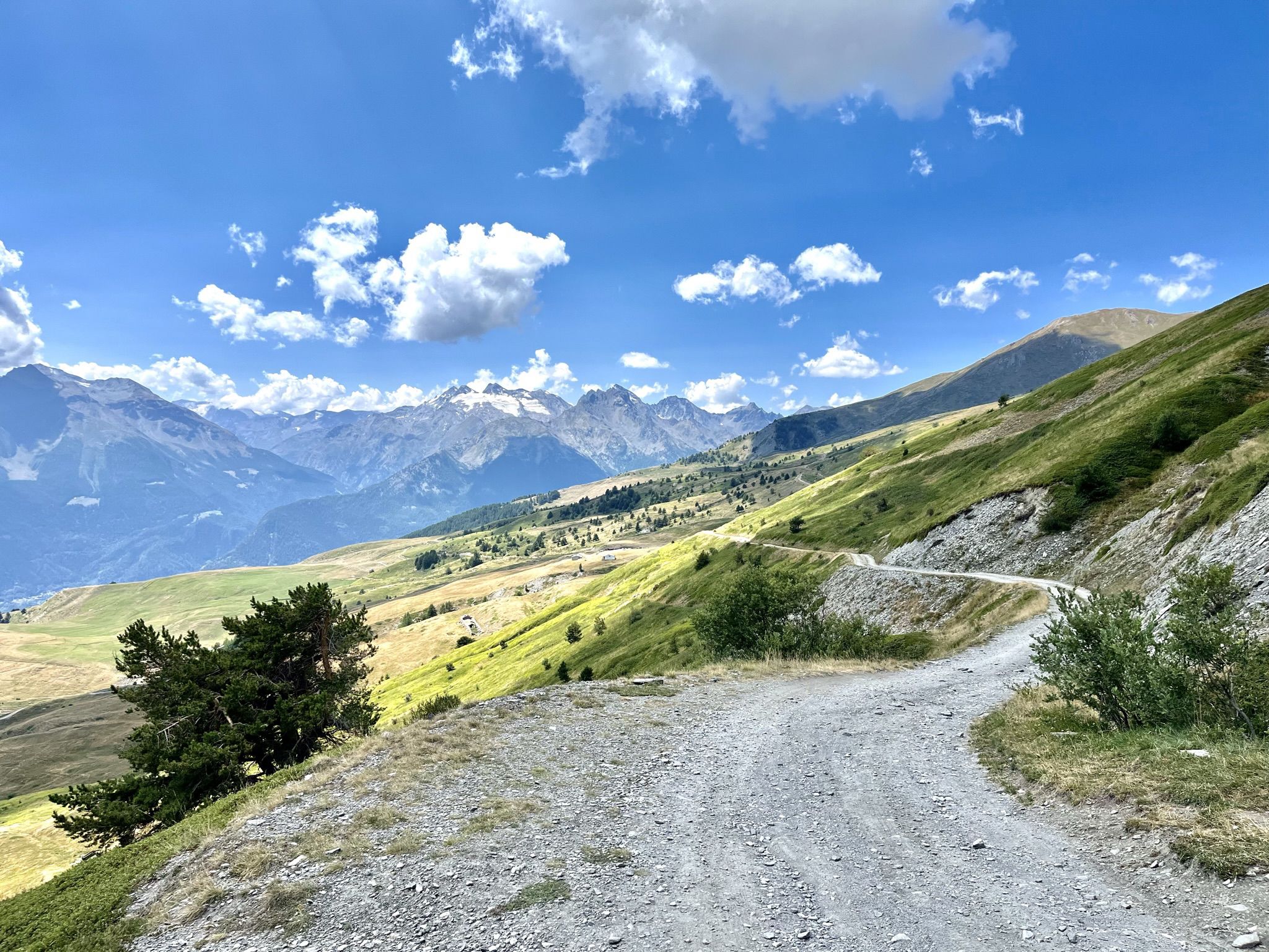
Mountain biking with a glacier backdrop – rides in Italy’s Aosta Valley
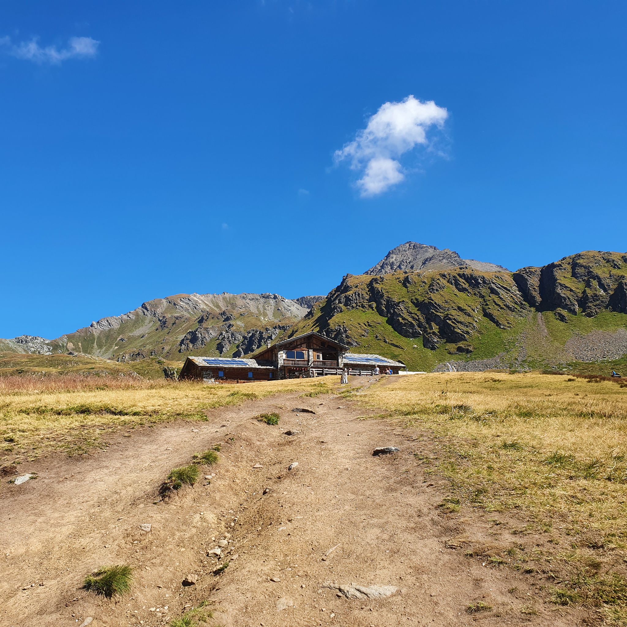
Hiking around Saint-Pierre
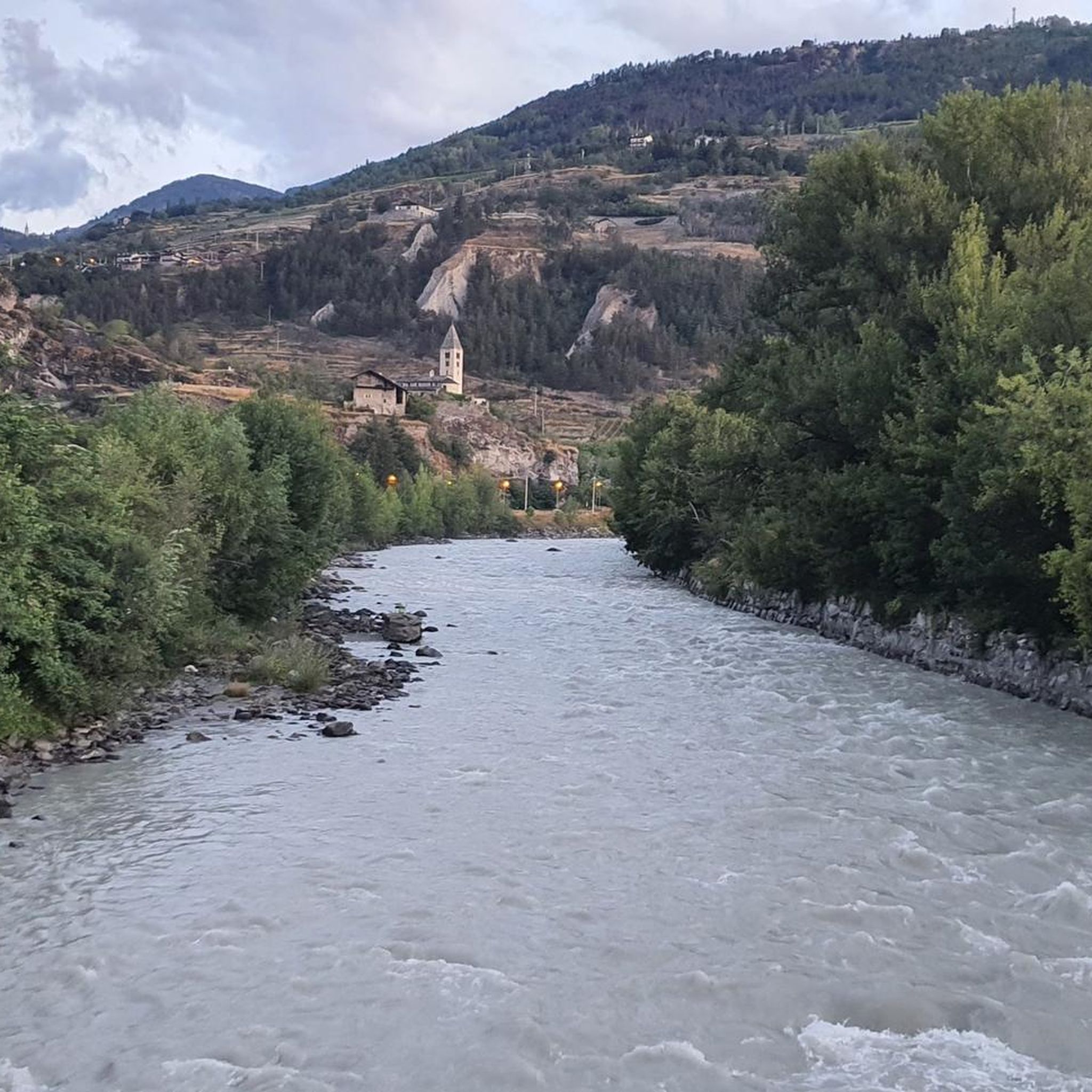
MTB Trails around Saint-Pierre
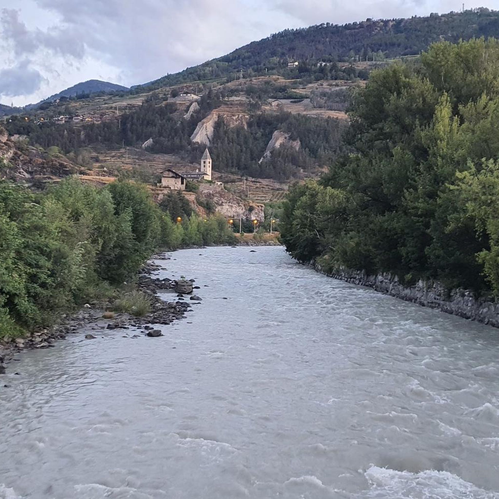
Road Cycling Routes around Saint-Pierre
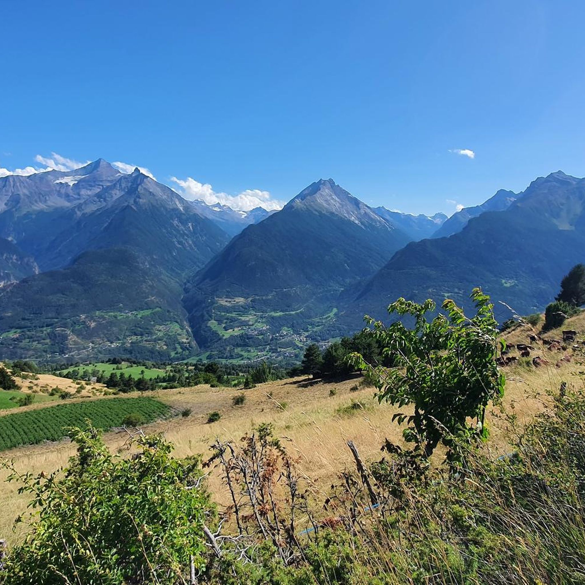
Running Trails around Saint-Pierre

Gravel biking around Saint-Pierre
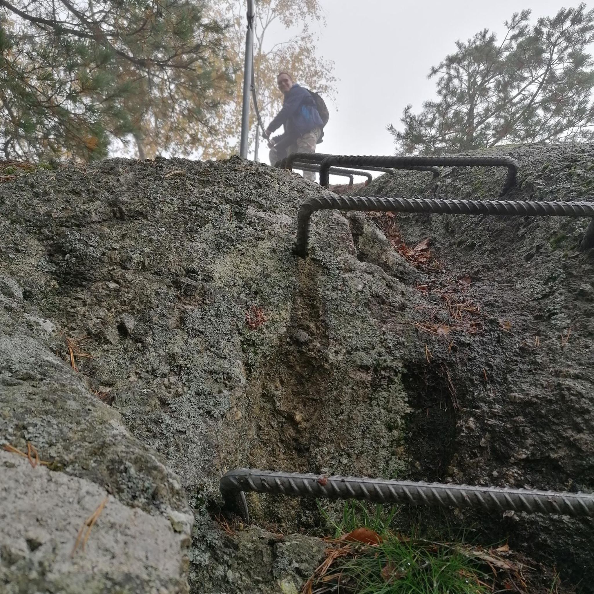
Mountain Hikes around Saint-Pierre
Other adventures around Saint-Pierre


Tips from the Community

is located directly on the main road, ideal for a quick visit from Aosta city
0
0

Impressive sculptures, both in number and in finish and location.
0
0

Vtan is the starting point for reaching Mount Fallere and the refuge of the same name, but not only that, because from this small village some beautiful white roads branch off, very suitable for MTB, as well as other minor excursions, but always rewarding for the grandiose panoramas. Very suggestive, in the pine forest, is the "meditation trail", a path that invites "meditative walking", a practice that combines yoga, breathing, self-control... more information about it can be found at the nearby Hotel, which also provides a map of possible excursions.
0
0

One of the oldest castles in the Aosta Valley, its existence is traced back to 1191, with the last modifications in the 19th century.
0
0


Arpuilles is a hamlet in the municipality of Aosta, nestled on the hill north of the city at an altitude of about 1000 meters. The village, along with nearby Signayes, is part of that system of mid-mountain settlements that the Salassi—the Celtic population who inhabited the valley before the Roman conquest—seemed to prefer to the valley floors, and which over the centuries has maintained a rural character distinct from that of the underlying capital. So strong was this sense of identity that in the past the inhabitants of Arpuilles and Signayes even attempted to separate from the municipality of Aosta to form an autonomous municipality. The inhabited core consists of stone and wood houses arranged along the road that climbs from the plain, surrounded by meadows, pastures, and deciduous woods. From Arpuilles, one enjoys an open view of the Aosta basin and the surrounding mountains: Monte Emilius, Becca di Nona, and, in the distance, the peaks of Gran Paradiso. Its sunny position, sheltered from the north winds, has historically made it an area for spring and autumn grazing. Here passes the terminal section of the Ru Neuf, the ancient irrigation canal from 1327 that brought water from Étroubles to the hill of Aosta.
0
0

Ancient connecting road that runs halfway up the Aosta plain, already used in pre-Roman and then Roman times to cross the valley. Today it is a quiet secondary road, ideal for cycling away from traffic, among terraced vineyards, small villages and open views of the valley floor.
1
0
Valley floor access point a few minutes from Aosta, located near the confluence of the Dora Baltea and the Buthier stream. Several ascents to the surrounding slopes start from here.
0
0
Frequently Asked Questions
What kind of terrain can I expect when touring cycling around Saint-Pierre?
Touring cycling around Saint-Pierre, located in Italy's Aosta Valley, features routes through mountainous terrain with significant elevation changes. You can expect a mix of paved roads and paths leading through valleys and past ancient structures, offering both challenging climbs and descents.
How challenging are the touring cycling routes in Saint-Pierre?
The routes around Saint-Pierre offer a range of difficulties. Out of over 150 available routes, 24 are considered easy, 33 are moderate, and 94 are difficult. This means there are options for various skill levels, from easier valley rides to more demanding ascents.
Are there any easy touring cycling routes suitable for beginners or families?
Yes, there are 24 easy touring cycling routes around Saint-Pierre. An example of an easy route is the Arch of Augustus – Porta Pretoria (Aosta) loop from Sarre, which is about 15.2 km long and takes approximately 55 minutes to complete, featuring historical Roman landmarks.
What historical landmarks can I see along the touring cycling routes?
Many routes in Saint-Pierre pass by significant historical sites. For instance, the Torre dei Balivi – Porta Pretoria (Aosta) loop from Saint-Pierre includes historical sites in the Aosta area. You can also explore routes like the Sarriod de La Tour Castle – Saint-Pierre Church and Castle loop from Saint-Pierre, which leads through historical castles and churches. Other notable landmarks include Porta Pretoria (Aosta) and Émile Chanoux Square.
Are there any natural attractions or scenic viewpoints along the cycling routes?
Yes, the region offers beautiful natural scenery. While cycling, you might encounter natural monuments such as Marais Nature Reserve, or enjoy views of lakes like Lake Chamolé and Lago Leysser. There are also waterfalls like Lenteney Waterfall and Comboé Stream Waterfall that can be explored nearby.
What do other touring cyclists enjoy most about cycling in Saint-Pierre?
The touring cycling routes around Saint-Pierre are highly rated by the komoot community, with an average score of 4.5 stars from over 313 reviews. Cyclists often praise the varied terrain, the connection between historical castles and Roman ruins, and the options available for different ability levels.
Are there any circular touring cycling routes in the area?
Yes, many routes around Saint-Pierre are designed as loops, allowing you to start and end in the same location. Examples include the Arch of Augustus – Porta Pretoria (Aosta) loop from Sarre, the Torre dei Balivi – Porta Pretoria (Aosta) loop from Saint-Pierre, and the Sarriod de La Tour Castle – Saint-Pierre Church and Castle loop from Saint-Pierre.
What kind of elevation changes can I expect on the touring cycling routes?
The routes around Saint-Pierre are characterized by significant elevation changes due to the mountainous terrain of the Aosta Valley. For example, the difficult Lago delle Rane – Mont Fallère Refuge loop from Villeneuve involves over 1700 meters of ascent, while even a difficult route like the Oratory at the Border – Leanton hamlet loop from Sarre has over 800 meters of climbing.
Are there any huts or refuges along the cycling routes for breaks or overnight stays?
Yes, some routes pass by or near mountain huts that can serve as points for breaks or potentially overnight stays. For instance, the Lago delle Rane – Mont Fallère Refuge loop from Villeneuve includes the Mont Fallère Refuge. Another option is the Arbolle Hut, which is also in the vicinity.
What is the best season for touring cycling in Saint-Pierre?
While specific seasonal data for cycling isn't provided, the Aosta Valley region generally offers comfortable weather for outdoor activities from late spring through early autumn. Summer months (June to September) typically provide the most favorable conditions for cycling, with less chance of snow at higher elevations and generally stable weather.
Most popular routes around Saint-Pierre
Most popular attractions around Saint-Pierre

Get inspired with the komoot mobile app


Explore more
Browse the best Cycling routes in other regions.
