The best road cycling routes around Sarre
4.3
(502)
15,458
riders
108
rides
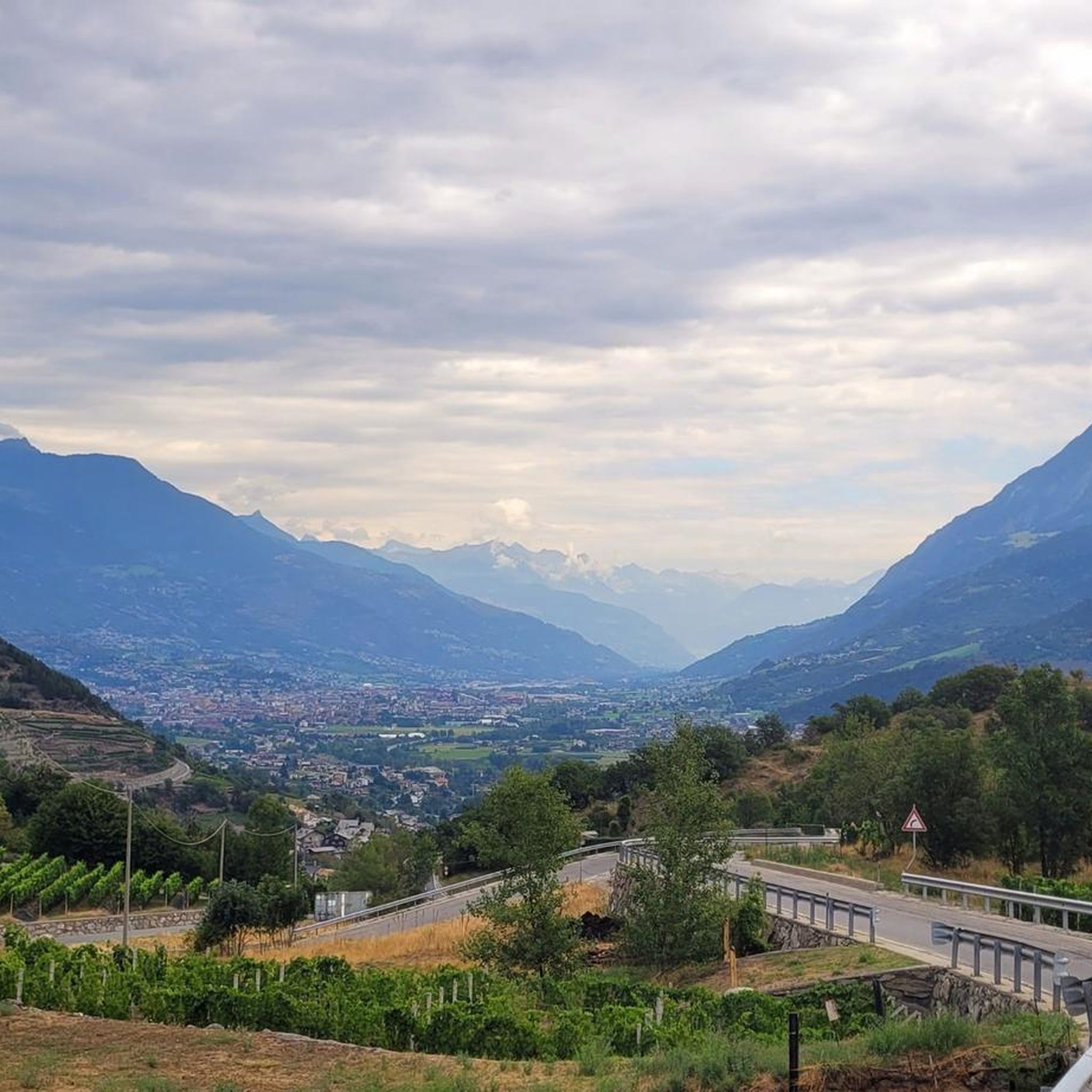
Road cycling routes around Sarre are characterized by varied topography, including river valleys, forested areas, and significant mountain ascents. The region features routes that traverse both lower elevations along waterways and challenging climbs into the surrounding peaks. This diverse landscape provides a range of experiences for road cyclists, from moderate paths to difficult mountain passes.
Best road cycling routes around Sarre
- The most popular road cycling route is La Thuile – La Rosière loop from Saint-Pierre, a 67.6 miles…
Last updated: October 9, 2026
4.7
(6)
83
riders
18.5km
00:43
70m
70m
Easy road ride. Great for any fitness level. Mostly well-paved surfaces and easy to ride.
4.7
(3)
56
riders
24.7km
01:10
240m
240m
Easy road ride. Great for any fitness level. Mostly well-paved surfaces and easy to ride.

4.5
(2)
105
riders
34.2km
01:42
470m
470m
Moderate road ride. Good fitness required. Mostly well-paved surfaces and easy to ride.
4.0
(2)
26
riders
25.8km
01:35
710m
710m
Moderate road ride. Good fitness required. Mostly well-paved surfaces and easy to ride.
4.3
(3)
57
riders
Easy road ride. Great for any fitness level. Mostly well-paved surfaces and easy to ride.
Get access to more routes and recommendations from other explorers.
Already have an account?
Our route recommendations are based on thousands of hikes, rides, and runs completed by other people on komoot.
Start today with a free account
Your next adventure awaits.

Tips from the Community

is located directly on the main road, ideal for a quick visit from Aosta city
0
0

One of the oldest castles in the Aosta Valley, its existence is traced back to 1191, with the last modifications in the 19th century.
0
0

Arvier is located in a small basin in the central valley, surrounded by terraced vineyards and crossed by the Dora Baltea river. The village preserves traces of its medieval past, such as the Castello di La Mothe and the Romanesque bell tower, and is one of the access points to Valgrisenche, from where various ascents to more alpine environments begin.
0
0
Gressan is a municipality at the gates of Aosta, located on the right orographic side of the Dora Baltea and an access point to various climbs towards the higher altitudes of the valley. From here begins one of the most continuous ascents in the area, with regular hairpin bends and constant gradients.
0
0
Valley floor access point a few minutes from Aosta, located near the confluence of the Dora Baltea and the Buthier stream. Several ascents to the surrounding slopes start from here.
0
0

Monument dedicated to the winner of the first Tour de France, Maurice Garin, originally from Chez-les-Garin (a group of houses above Leverogne, part of the municipality of Arvier) who then emigrated to France (and became a naturalized French citizen, so much so that he is listed as such in the roll of honour) to work as a chimney sweep.
1
0

Frequently Asked Questions
How many road cycling routes are available around Sarre?
There are nearly 100 road cycling routes around Sarre, catering to various skill levels. This includes 19 easy routes, 33 moderate routes, and 45 difficult routes, ensuring options for every cyclist.
What kind of terrain can I expect when road cycling in Sarre?
Road cycling in Sarre offers a diverse landscape, from gentle river valleys along the Saar and Blies rivers to extensive forests and the more challenging low mountain ranges of the Hunsrück. You'll encounter varied topography, including significant mountain ascents and scenic paths through UNESCO-recognized areas like the Bliesgau Biosphere Reserve.
Are there routes suitable for beginners or families in Sarre?
Yes, Sarre offers 19 easy road cycling routes, many of which follow river valleys or well-signposted paths away from heavy traffic. These routes provide a more relaxed experience, perfect for beginners or families looking for a pleasant ride.
Are there challenging road cycling routes for experienced cyclists in Sarre?
Absolutely. Sarre is home to 45 difficult road cycling routes, featuring substantial elevation gains and demanding climbs. Routes like the La Thuile – La Rosière loop from Saint-Pierre, which covers 67.6 miles with over 2,200 meters of ascent, or the Roisan Village and Church – Great St Bernard Hospice loop from Aosta Viale Europa, offer significant challenges and panoramic mountain views.
Can I find circular road cycling routes around Sarre?
Many of the road cycling routes in Sarre are designed as loops, allowing you to start and end at the same point. For example, the Castello Sarriod de la Tour – Aymavilles Castle loop from Aymavilles is a moderate 24-mile circular trail that takes you through historical sites and scenic valleys.
Are there road cycling routes that offer scenic viewpoints or natural landmarks?
Yes, Sarre's routes often feature breathtaking natural sights. The iconic Saarschleife (Saar Loop) is a must-see landmark along many routes, offering spectacular views. You can also find routes passing by natural monuments such as Lake Chamolé, Col de Champillon, or the Lenteney Waterfall.
Are there any road cycling routes that pass by historical sites or cultural attractions?
Sarre's rich history is reflected in its cycling routes. You can explore paths that lead through baroque towns like Blieskastel or past significant historical sites. Notable attractions include the UNESCO World Heritage Site Völklingen Ironworks, the Celtic ring wall, and in Aosta, sites like Émile Chanoux Square and Porta Pretoria.
What do other road cyclists enjoy the most about road cycling in Sarre?
The area is highly rated by the komoot community, with an average score of 4.6 stars from over 270 reviews. Cyclists often praise the region's varied terrain, from challenging mountain passes to serene river valleys, and the extensive network of well-maintained cycle paths that offer both natural beauty and cultural exploration.
Can I cycle into neighboring countries from Sarre?
Yes, a unique aspect of road cycling in Sarre is the opportunity for cross-border routes. Several paths, such as sections of the Saarland Cycle Route, lead into neighboring France and Luxembourg, offering diverse cultural and scenic experiences. For example, you can cycle into the Lorraine region and the town of Sarreguemines.
When is the best time of year to go road cycling in Sarre?
The best time for road cycling in Sarre is generally from spring through early autumn (April to October). During these months, the weather is most favorable, with pleasant temperatures and less precipitation, making it ideal for enjoying the region's diverse landscapes and extensive cycle path network.
Are there any routes that follow river paths in Sarre?
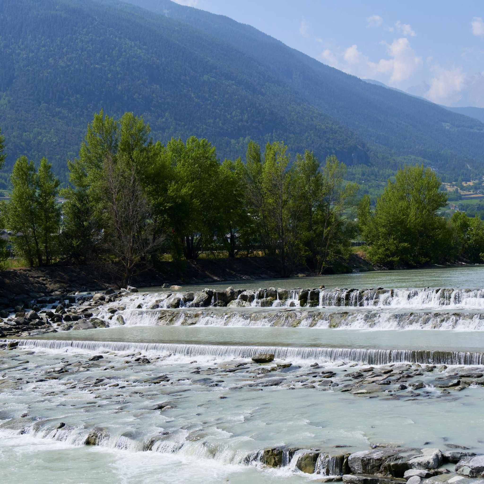
Yes, the region is abundant with scenic river paths. The Saar Cycle Path, for instance, follows old towpaths along the Saar River, offering a relatively easy and picturesque ride. Similarly, routes like the Beautiful section of cycle path – Dora Baltea River Bridge loop from Aosta Viale Europa provide pleasant rides along waterways.
What kind of facilities are available for cyclists in Sarre?
Sarre offers a good infrastructure for cyclists, including cycle-friendly accommodation providers and support for electric bikes. Many towns along the routes provide places to rest, refuel, and enjoy regional culinary offerings, ensuring a comfortable and enjoyable cycling experience.
Most popular attractions around Sarre

Get inspired with the komoot mobile app


Explore more
Browse the best Road cycling routes in other regions.
