The best walks and hikes around Steegen
4.5
(301)
2,107
hikers
225
hikes
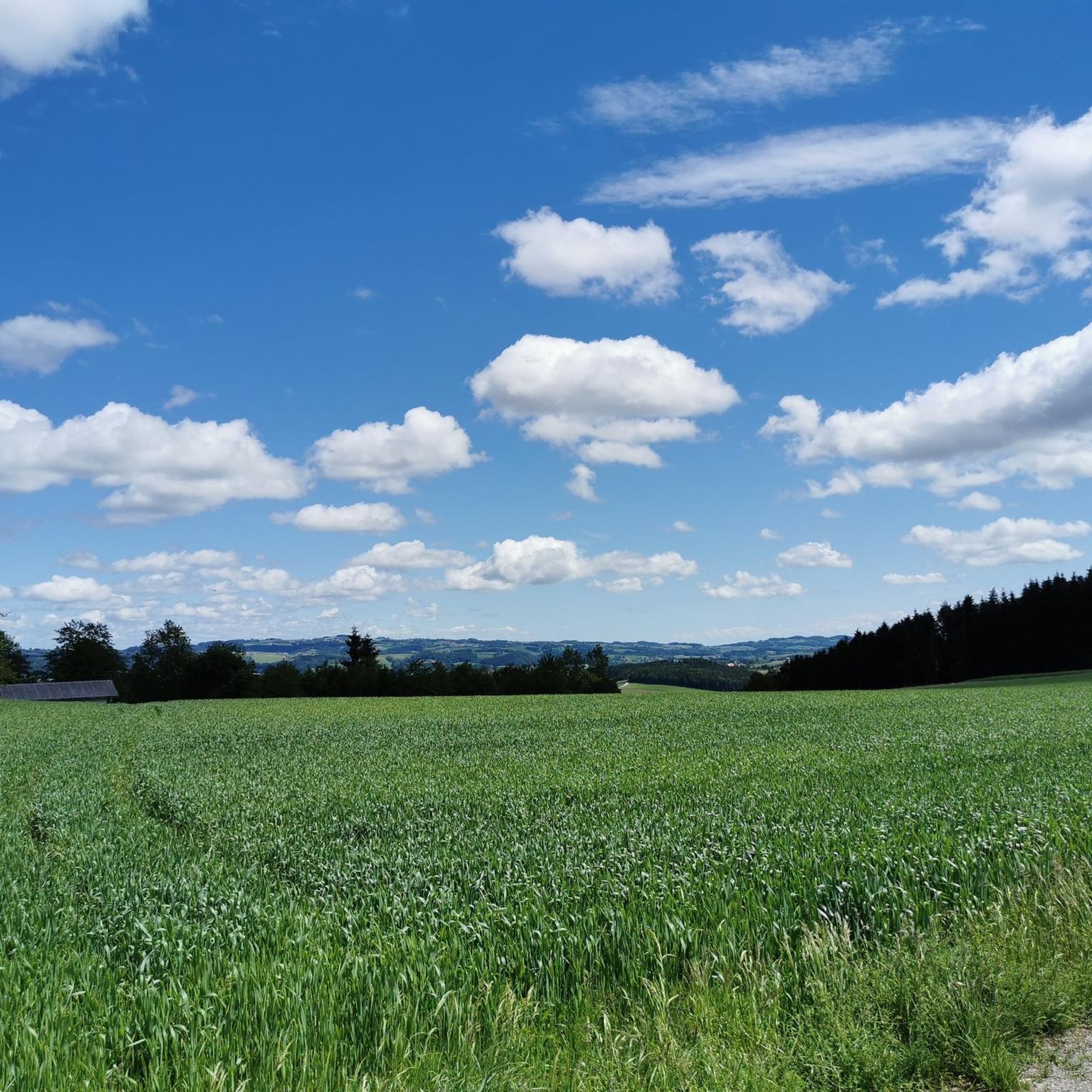
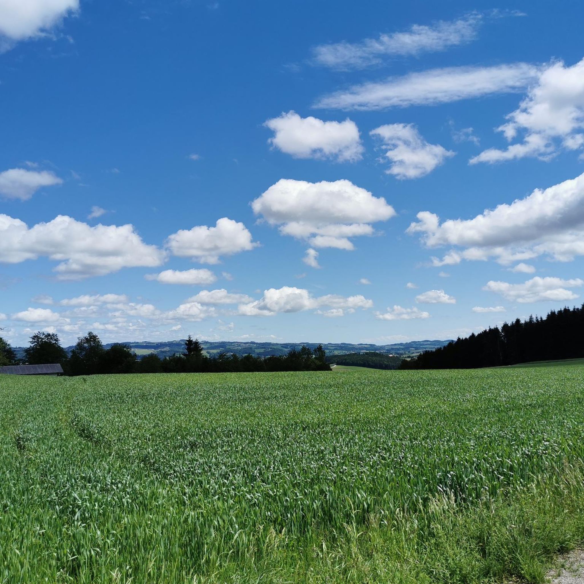
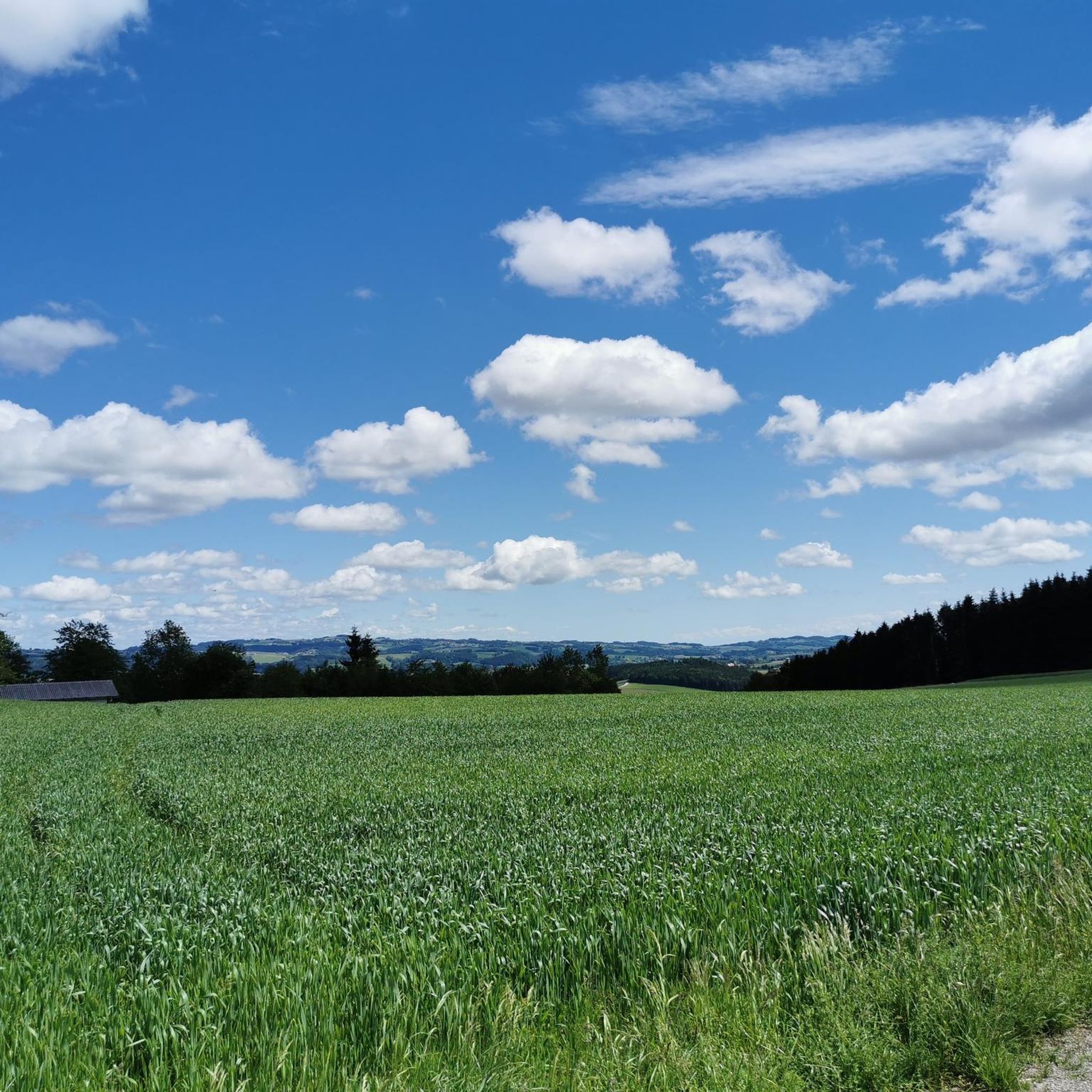
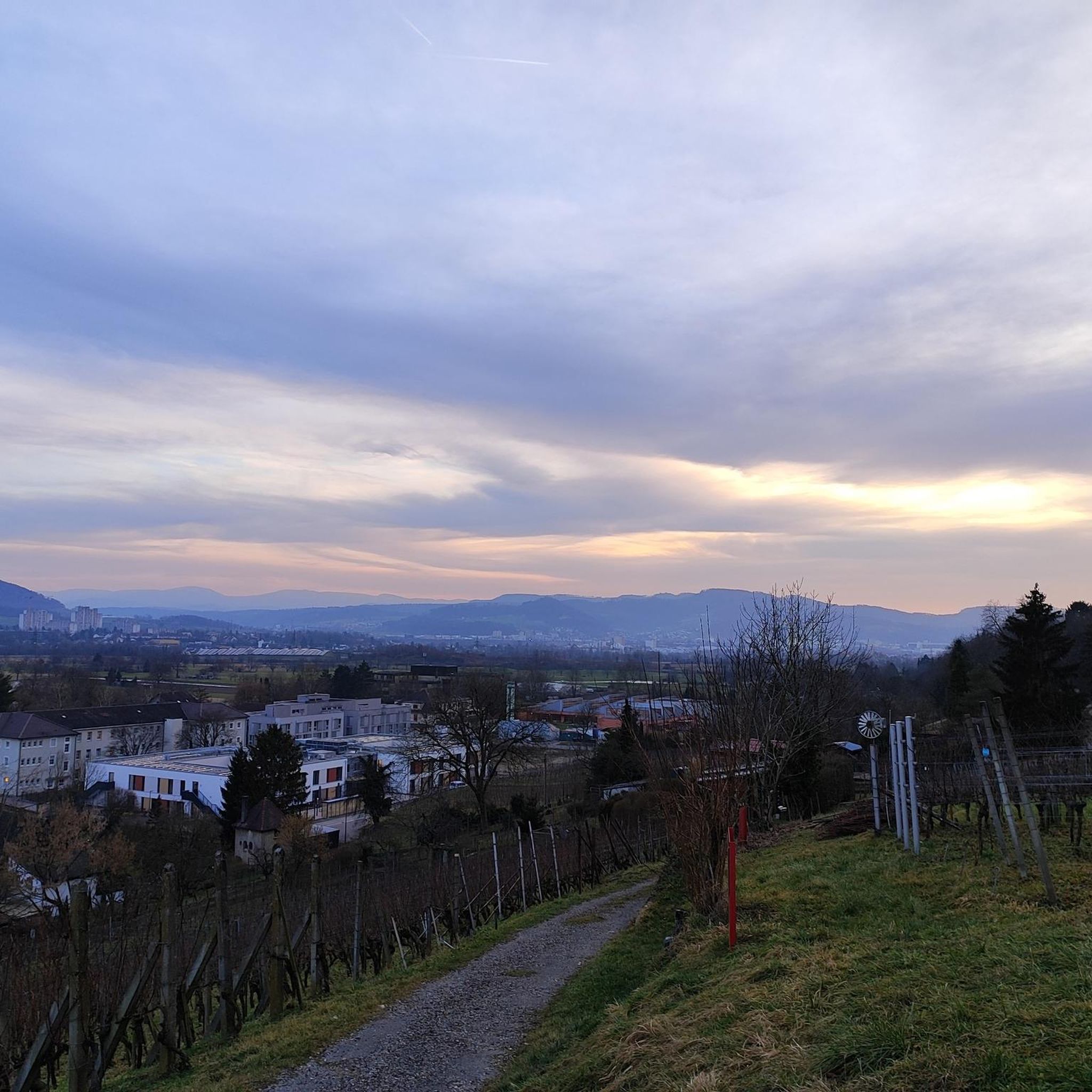
Hiking around Steegen offers a network of trails primarily featuring rolling hills and paths connecting local towns and points of interest. The landscape includes a mix of open areas, likely meadows or fields, and routes that pass through or near village centers. Elevations are generally moderate, with some trails offering views from higher points. The region provides varied terrain suitable for different hiking preferences.
Best hiking trails around Steegen
- The most popular hiking route is Peuerbach Town Centre – Parish…
Last updated: October 8, 2026
4.5
(4)
17
hikers
12.1km
03:26
260m
260m
Moderate hike. Good fitness required. Easily-accessible paths. Suitable for all skill levels.
12
hikers
Easy hike. Great for any fitness level. Easily-accessible paths. Suitable for all skill levels.

4.0
(3)
15
hikers
5.93km
01:38
100m
100m
Easy hike. Great for any fitness level. Easily-accessible paths. Suitable for all skill levels.
5.0
(1)
14
hikers
7.45km
01:56
50m
50m
Easy hike. Great for any fitness level. Easily-accessible paths. Suitable for all skill levels.
12
hikers
3.20km
00:51
30m
30m
Easy hike. Great for any fitness level. Easily-accessible paths. Suitable for all skill levels.
Get access to more routes and recommendations from other explorers.
Already have an account?
Our route recommendations are based on thousands of hikes, rides, and runs completed by other people on komoot.
Start today with a free account
Your next adventure awaits.
Tips from the Community

Singletrack with a view towards Heiligenberg Grieskirchen
0
0
Rest area at the viewpoint of the Panoramaweg Süd.
0
0
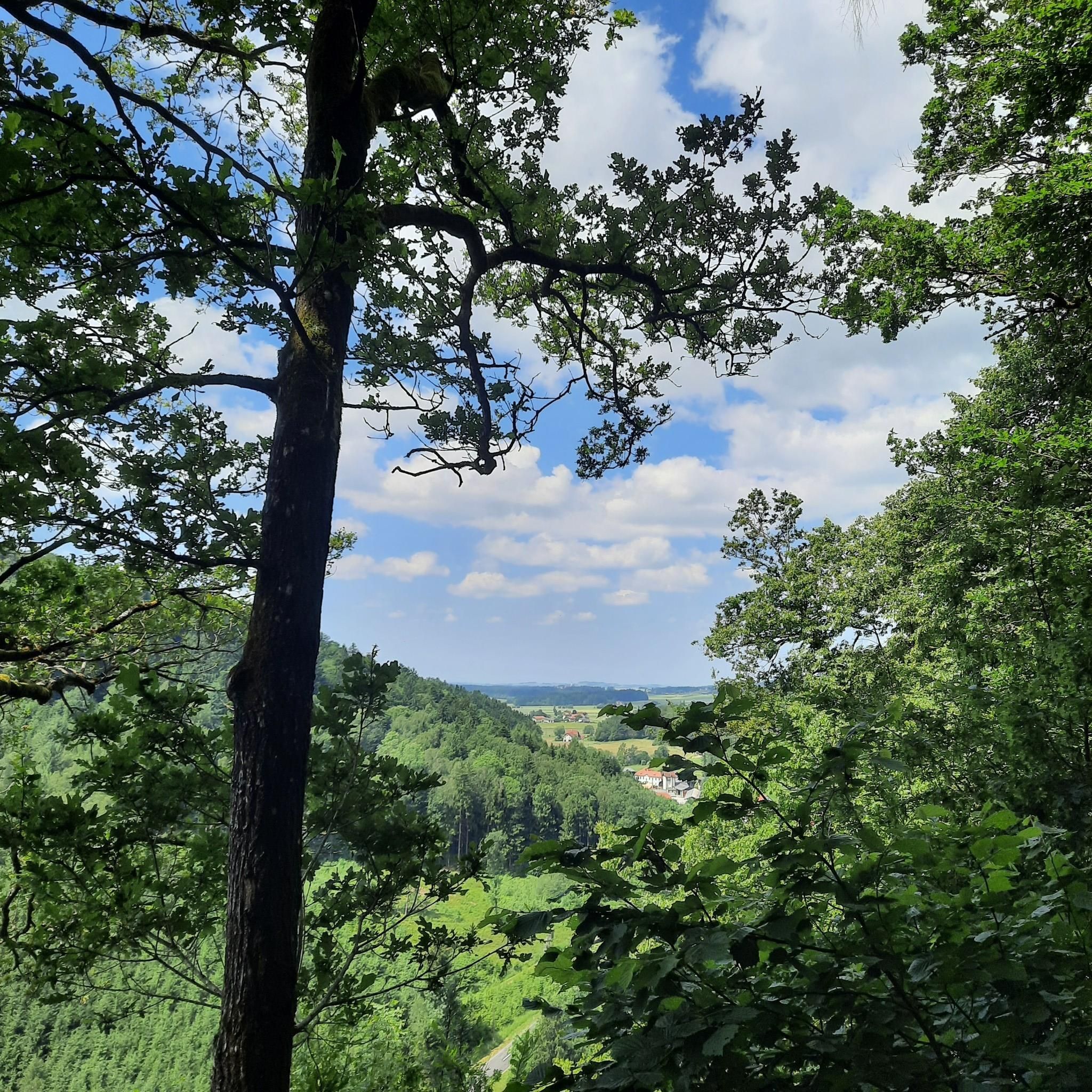
very beautiful viewpoint into the Leithenbachtal.
0
0
Leithental with its clear bubbling stream, the untouchedness of a lushly growing nature.
0
0
The circular trail in the "Tal der sieben Mühlen" along the Leithenbach is particularly romantic and suitable for a short, but impressive hike on hot days.
0
0
In the romantic Leithenbachtal, also called the "Valley of the Seven Mills", mighty water wheels once powered the 7 mills and hammer works.
0
0

Very informative, nicely done, flat hike
0
0

The name KOMETOR is a combination of the words "comet" and "gate." The town of Peuerbach's coat of arms also depicts a wide-open gate with a view of the sky. The town itself is known as the "City of Stars." This provided the artists with an ideal context for this location and the work of Georg von Peuerbach. http://kometor.at/
1
0
Frequently Asked Questions
How many hiking trails are available around Steegen?
Steegen offers a comprehensive network of over 230 hiking trails. These routes cater to various preferences, ranging from easy strolls to more challenging excursions through the region's diverse landscape.
What is the typical length and duration of hikes in Steegen?
Hikes around Steegen vary significantly in length and duration. For example, an easy route like the Parish Church of Peuerbach – Peuerbach Town Centre loop from Peuerbach is about 2.8 miles (4.6 km) and takes around 1 hour 10 minutes. Longer, more challenging trails, such as the Parish Church of Peuerbach – Leithental Viewpoint loop from Peuerbach, can extend up to 11.4 miles (18.4 km) and take over 5 hours.
Are there easy or family-friendly hiking options in Steegen?
Yes, Steegen is very welcoming for families and those seeking easier walks. Over 120 of the trails are rated as easy. A great option for a gentle walk is the Astroweg Ledererwiese – Peuerbach Town Centre loop from Peuerbach, which is 4.6 miles (7.4 km) and takes less than 2 hours, leading through open areas and towards the town centre.
What kind of terrain can I expect on Steegen's hiking trails?
The hiking trails in Steegen primarily feature rolling hills, open meadows, and paths connecting local towns and points of interest. You'll find a mix of open areas and routes that pass through or near village centers, with moderate elevations offering occasional viewpoints.
Are there any interesting landmarks or attractions to see along the hiking routes?
Yes, the region around Steegen offers several interesting landmarks. You might encounter natural monuments like the Jungfraustein (Rocking Stone) or the Turnstein Rock Formation. Additionally, many routes pass by historical religious buildings such as the Parish Church Taufkirchen or the Waizenkirchen Parish Church.
Are dogs allowed on the hiking trails in Steegen?
Generally, dogs are welcome on hiking trails in Steegen. However, it's always advisable to keep them on a leash, especially when passing through agricultural areas, near livestock, or in nature protection zones. Please ensure you clean up after your pet.
Are there any circular hiking routes in Steegen?
Yes, many of the trails around Steegen are designed as circular routes, offering convenient starting and ending points. A popular example is the Parish Church of Peuerbach loop from Peuerbach, an easy 3.6-mile (5.8 km) trail.
What is the best time of year to go hiking in Steegen?
The best time to hike in Steegen is typically from spring through autumn (April to October), when the weather is mild and the landscapes are vibrant. Summer offers warmer temperatures, while spring and autumn provide pleasant conditions and beautiful scenery. Some trails may also be suitable for winter walks, depending on snow conditions.
Are there opportunities for refreshments or places to eat along the trails?
Given that many trails connect local towns and villages, it's common to find opportunities for refreshments or places to eat. Routes often lead through or near village centers where you can find local pubs, cafes, or restaurants to refuel during or after your hike.
What do other hikers enjoy most about hiking in Steegen?
The hiking experience in Steegen is highly rated by the komoot community, with an average score of 4.6 stars from over 250 reviews. Hikers often praise the well-maintained paths, the pleasant mix of open fields and village scenery, and the accessibility of routes for various fitness levels.
Are there any difficult or challenging hikes in the Steegen area?
While many trails are easy to moderate, Steegen does offer some more challenging options for experienced hikers. There are 5 trails rated as difficult, providing greater elevation changes and longer distances for those seeking a more strenuous adventure. An example is the Parish Church of Peuerbach – Leithental Viewpoint loop from Peuerbach, which features significant elevation gain over its 11.4 miles (18.4 km).
Is public transport available to reach trailheads in Steegen?
Steegen's trails often connect towns and villages, suggesting that some trailheads may be accessible via local public transport. It's recommended to check local bus schedules or regional transport options for specific starting points if you plan to rely on public transport.
Most popular attractions around Steegen

Get inspired with the komoot mobile app


Explore more
Browse the best Hikes in other regions.
