The best road cycling routes around Roisan
4.3
(412)
12,306
riders
107
rides
Road cycling routes around Roisan traverse mountainous landscapes within the Aosta Valley, offering diverse terrain for cyclists. The region features scenic roads with varying elevations, from moderate climbs to more challenging ascents. Situated at an altitude of 870 meters, Roisan provides panoramic views of prominent mountains, creating a backdrop for road cycling.
Best road cycling routes around Roisan
- The most popular road cycling route is Great St Bernard Pass from Aosta, a 36.0 miles (58.0 km) trail that takes…
Last updated: October 9, 2026
4.8
(30)
1,052
riders
58.0km
03:44
1,770m
1,770m
Cycle the difficult 36.0-mile Colle del Gran San Bernardo from Variney, gaining 5801 feet with panoramic alpine views.
4.5
(2)
30
riders
16.7km
01:13
610m
610m
Moderate road ride. Good fitness required. Mostly well-paved surfaces and easy to ride.

3.9
(37)
531
riders
47.4km
02:03
340m
340m
Moderate road ride. Good fitness required. Mostly well-paved surfaces and easy to ride.
4.1
(9)
341
riders
70.9km
03:55
1,490m
1,490m
Hard road ride. Very good fitness required. Mostly well-paved surfaces and easy to ride.
5.0
(2)
77
riders
29.9km
01:59
940m
940m
Hard road ride. Very good fitness required. Mostly well-paved surfaces and easy to ride.
Get access to more routes and recommendations from other explorers.
Already have an account?
Our route recommendations are based on thousands of hikes, rides, and runs completed by other people on komoot.
Start today with a free account
Your next adventure awaits.
Popular around Roisan
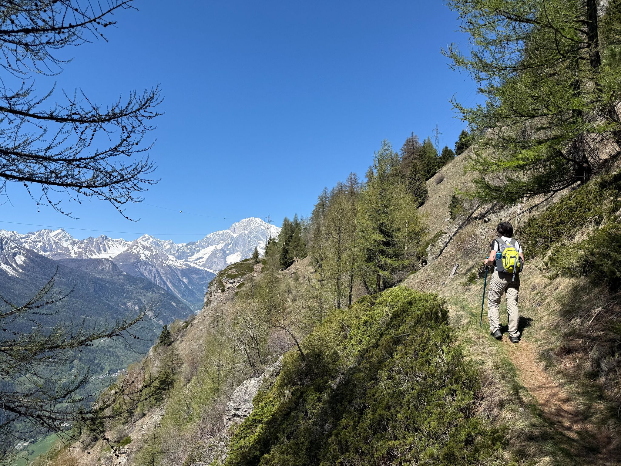
Cammino Balteo – castles, vineyards and trails of the Aosta Valley
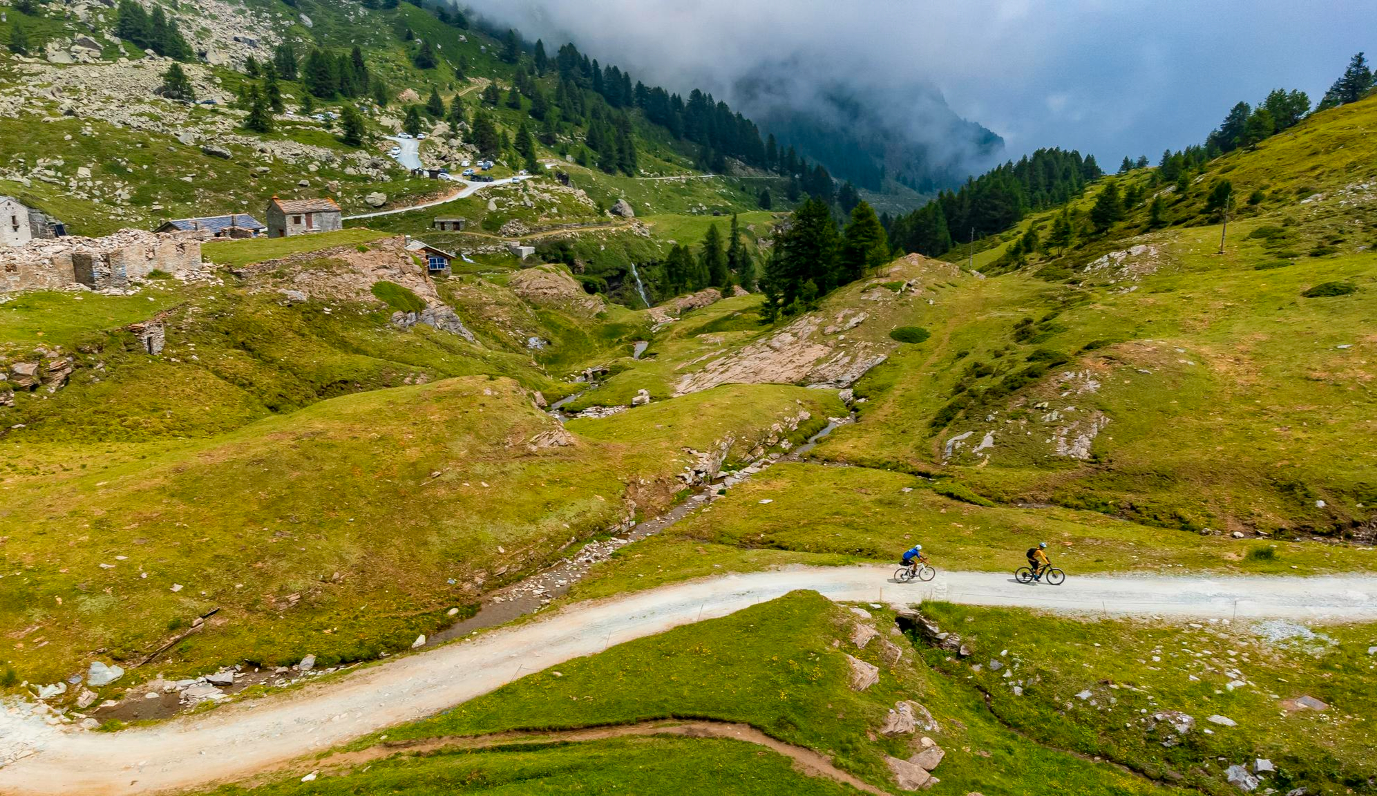
Must-do gravel routes in the Aosta Valley – the heart of the Italian Alps
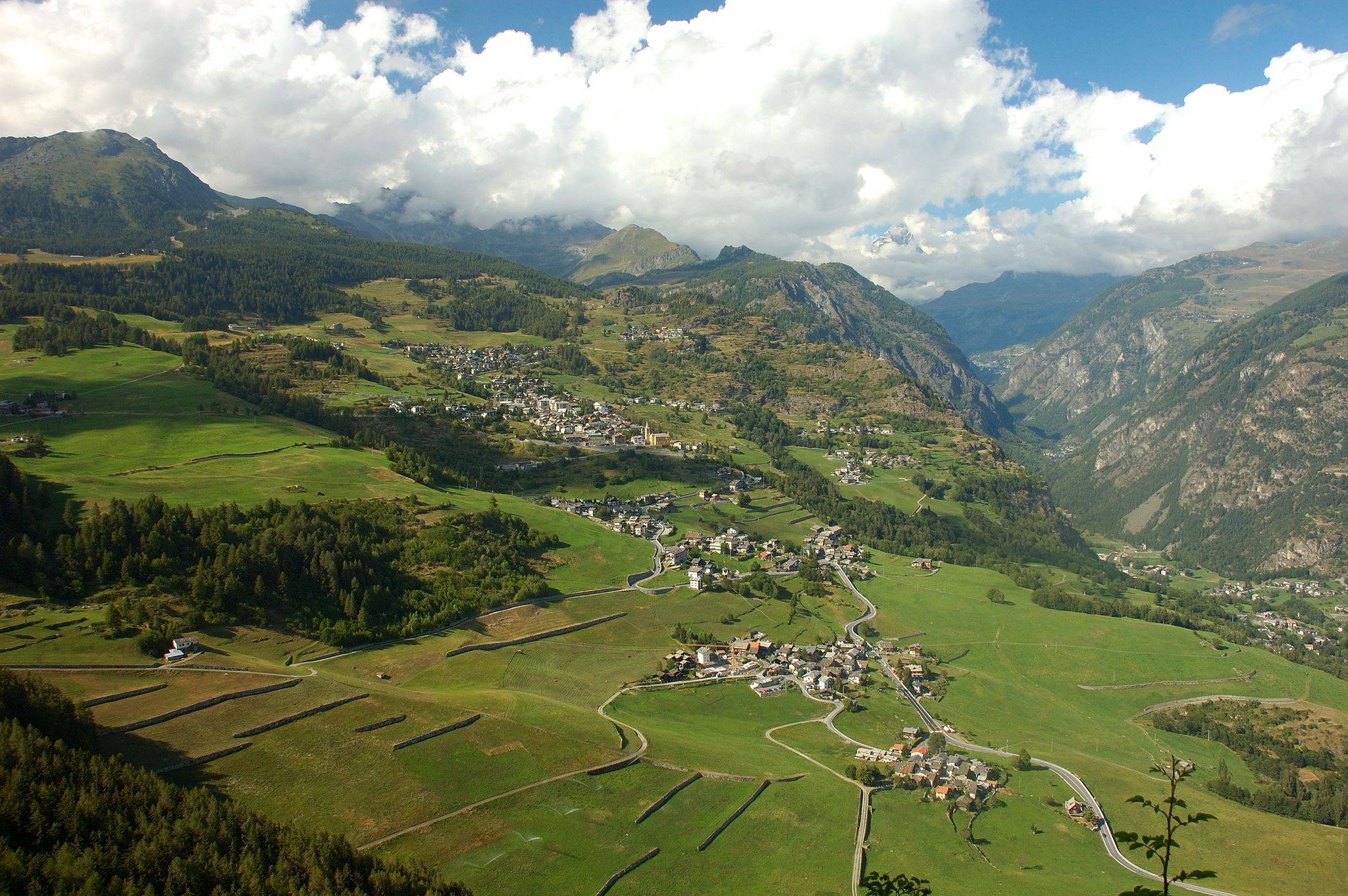
Paths, castles and views of Italy’s Aosta Valley – Cammino Balteo
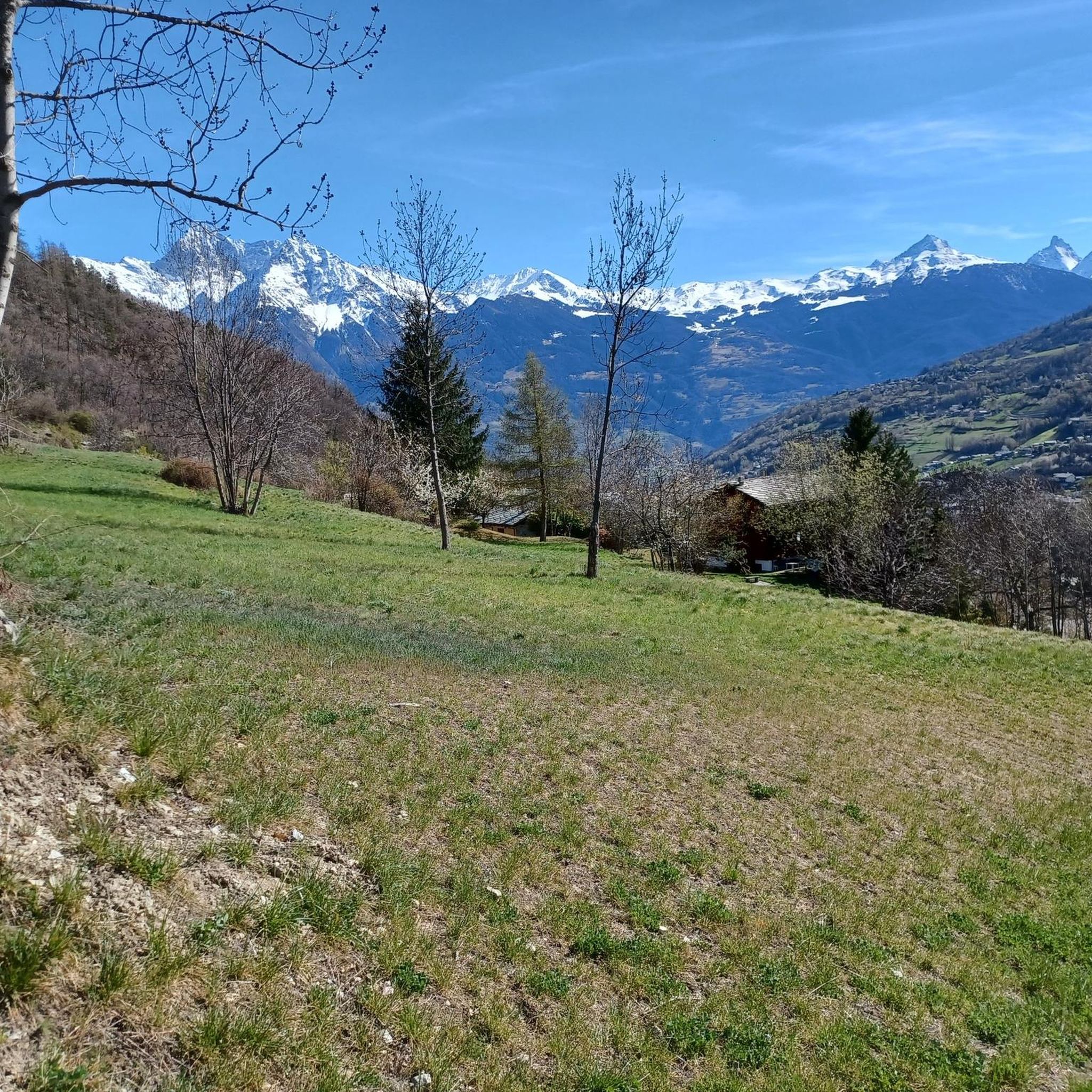
MTB Trails around Roisan
Cycling around Roisan
Hiking around Roisan
Running Trails around Roisan

Gravel biking around Roisan

Mountain Hikes around Roisan
Other adventures around Roisan


Tips from the Community


Mountain tour through woods and spectacular panoramas
0
0

Arpuilles is a hamlet in the municipality of Aosta, nestled on the hill north of the city at an altitude of about 1000 meters. The village, along with nearby Signayes, is part of that system of mid-mountain settlements that the Salassi—the Celtic population who inhabited the valley before the Roman conquest—seemed to prefer to the valley floors, and which over the centuries has maintained a rural character distinct from that of the underlying capital. So strong was this sense of identity that in the past the inhabitants of Arpuilles and Signayes even attempted to separate from the municipality of Aosta to form an autonomous municipality. The inhabited core consists of stone and wood houses arranged along the road that climbs from the plain, surrounded by meadows, pastures, and deciduous woods. From Arpuilles, one enjoys an open view of the Aosta basin and the surrounding mountains: Monte Emilius, Becca di Nona, and, in the distance, the peaks of Gran Paradiso. Its sunny position, sheltered from the north winds, has historically made it an area for spring and autumn grazing. Here passes the terminal section of the Ru Neuf, the ancient irrigation canal from 1327 that brought water from Étroubles to the hill of Aosta.
0
0

Ancient connecting road that runs halfway up the Aosta plain, already used in pre-Roman and then Roman times to cross the valley. Today it is a quiet secondary road, ideal for cycling away from traffic, among terraced vineyards, small villages and open views of the valley floor.
1
0
Valley floor access point a few minutes from Aosta, located near the confluence of the Dora Baltea and the Buthier stream. Several ascents to the surrounding slopes start from here.
0
0

Passing under the imposing covered viaduct that leads to the tunnel marks the beginning of the toughest part of the climb: the gradients become more demanding (though never prohibitive), the fatigue accumulated over the previous 20 km takes its toll, and the winds from Switzerland begin to lash you... you're officially in the high mountains, after all, that's why you came here. If the day is one of the worst, with strong winds from the pass, these last 10 km will be a nightmare, but the beauty and majesty of the landscape will more than make up for even the most intense of efforts.
1
0

Hotel Italia is highly recommended
0
0

Frequently Asked Questions
How many road cycling routes are available around Roisan?
Roisan offers a wide selection of road cycling routes, with over 90 tours available. These include 20 easy routes, 35 moderate routes, and 36 difficult routes, catering to various skill levels.
What makes road cycling in Roisan unique?
Road cycling in Roisan is characterized by its stunning mountainous landscapes within the Aosta Valley. Situated at an altitude of 870 meters, Roisan provides spectacular panoramic views of prominent mountains like Mount Emilius, Grivola, and Grand Combin, creating a truly inspiring backdrop for your rides.
Are there any easy road cycling routes suitable for beginners in Roisan?
Yes, Roisan offers 20 easy road cycling routes, perfect for beginners or those looking for a more relaxed ride. These routes typically feature shorter distances and moderate climbs, allowing you to enjoy the scenery without excessive challenge.
Are there challenging climbs for experienced road cyclists in Roisan?
Absolutely. For experienced road cyclists seeking a challenge, Roisan has 36 difficult routes. These often include significant elevation gains and longer distances, such as the Great St Bernard Pass from Aosta, which features over 1,700 meters of ascent over 58 kilometers.
What scenic viewpoints can I expect on road cycling routes in Roisan?
Many routes offer breathtaking panoramic views of the Aosta Valley and surrounding peaks like Mount Emilius, Grivola, and Grand Combin. You can also find specific viewpoints such as the View of the Aosta Valley from the Côte de Gargantua Nature Reserve, providing excellent photo opportunities.
Are there any circular road cycling routes in Roisan?
Yes, several routes are designed as loops, allowing you to start and finish in the same location. Examples include the Castello di Aymavilles – Arch of Augustus loop from Gignod, which covers 70.9 km, and the Aymavilles Castle – Castello di Aymavilles loop from Aosta.
What historical landmarks can I see along road cycling routes near Roisan?
The region is rich in history. You might encounter sites like the 15th-century Parish Church of St. Victor, the medieval Rhins Castle, or the Calvin Bridge, which is linked to a local legend. Routes like the Castello di Aymavilles – Arch of Augustus loop from Gignod lead through historical landmarks.
What do other cyclists say about road cycling in Roisan?
The road cycling routes around Roisan are highly rated by the komoot community, with an average score of 4.6 stars from over 200 reviews. Cyclists often praise the diverse terrain, stunning alpine scenery, and the variety of options for different ability levels.
Are there any natural attractions or features to look out for while cycling?
Beyond the mountain vistas, you can discover natural features such as the ancient 'rus' irrigation canals, which offer unique scenic elements. You might also encounter the Gaula Stream or even the Comboé Stream Waterfall on some routes or nearby trails.
Are there options for long-distance road cycling near Roisan?
Yes, Roisan serves as a great base for longer road cycling adventures. Routes such as the Castello di Aymavilles – Arch of Augustus loop from Gignod spans over 70 kilometers, offering extended riding experiences through varied terrain.
What is the best time of year for road biking in Roisan?
The sunny location of Roisan makes it an excellent destination for road cycling, particularly during the warmer months when mountain passes are clear. Spring and autumn generally offer pleasant temperatures and vibrant scenery, while summer provides longer daylight hours for extended rides.
Most popular attractions around Roisan

Get inspired with the komoot mobile app


Explore more
Browse the best Road cycling routes in other regions.
