The best road cycling routes around Morgex
4.6
(180)
8,274
riders
51
rides
Road cycling routes around Morgex are situated in the Aosta Valley, characterized by significant elevation changes, mountain passes, and scenic valleys. The region features routes that ascend to high-altitude areas, offering views of alpine landscapes and glacial formations. Road cyclists can expect varied terrain, including climbs to mountain passes and descents through valleys. The area's geography provides a range of gradients suitable for different levels of road cycling experience.
Best road cycling routes around Morgex
- The most popular road cycling…
Last updated: October 18, 2026
4.6
(7)
255
riders
30.6km
02:04
1,040m
1,030m
Hard road ride. Very good fitness required. Mostly well-paved surfaces and easy to ride.
4.6
(7)
240
riders
30.6km
02:04
1,060m
1,060m
Hard road ride. Very good fitness required. Mostly well-paved surfaces and easy to ride.

5.0
(4)
353
riders
130km
07:16
2,820m
2,820m
Hard road ride. Very good fitness required. Mostly well-paved surfaces and easy to ride.
4.7
(12)
440
riders
43.1km
02:23
860m
860m
Moderate road ride. Good fitness required. Mostly well-paved surfaces and easy to ride.
5.0
(3)
224
riders
172km
10:21
4,470m
4,470m
Hard road ride. Very good fitness required. Mostly well-paved surfaces and easy to ride.
Get access to more routes and recommendations from other explorers.
Already have an account?
Our route recommendations are based on thousands of hikes, rides, and runs completed by other people on komoot.
Start today with a free account
Your next adventure awaits.
Popular around Morgex
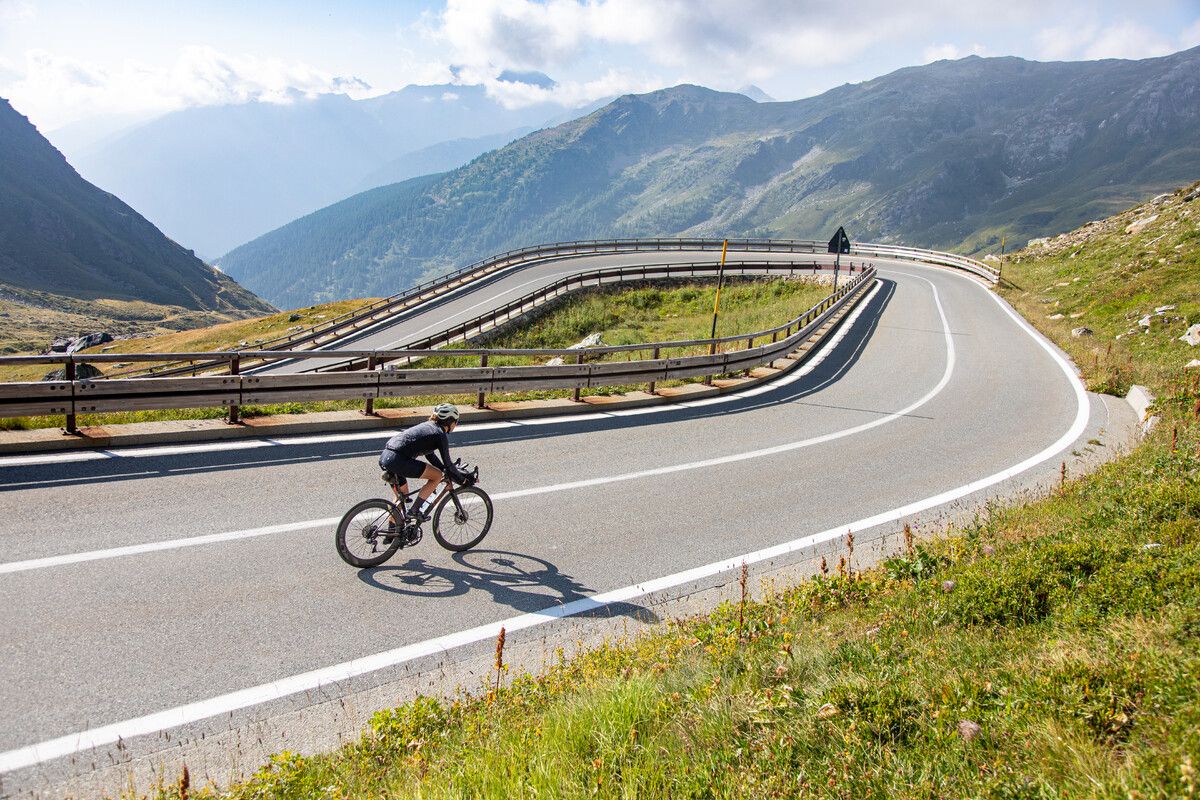
Road cycling in the Aosta Valley – major climbs and alpine routes
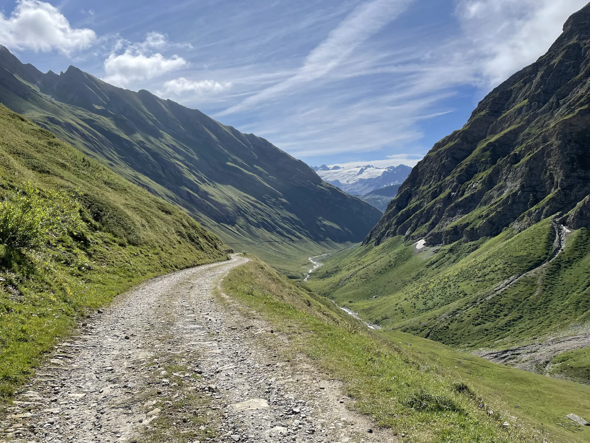
La Thuile Infinity Trekking – eight routes blending history and nature
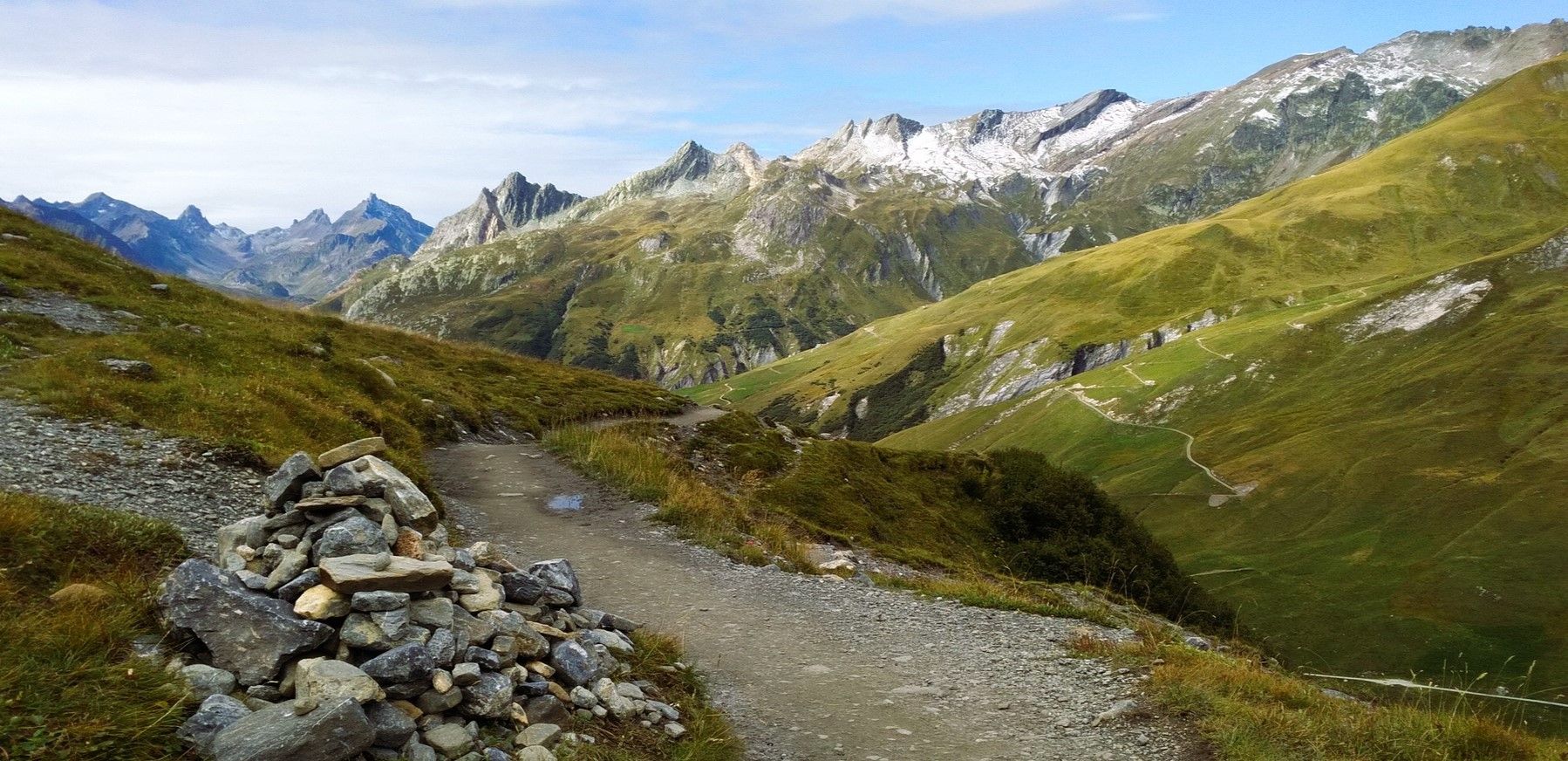
At the foot of Mont Blanc – a trek around Courmayeur
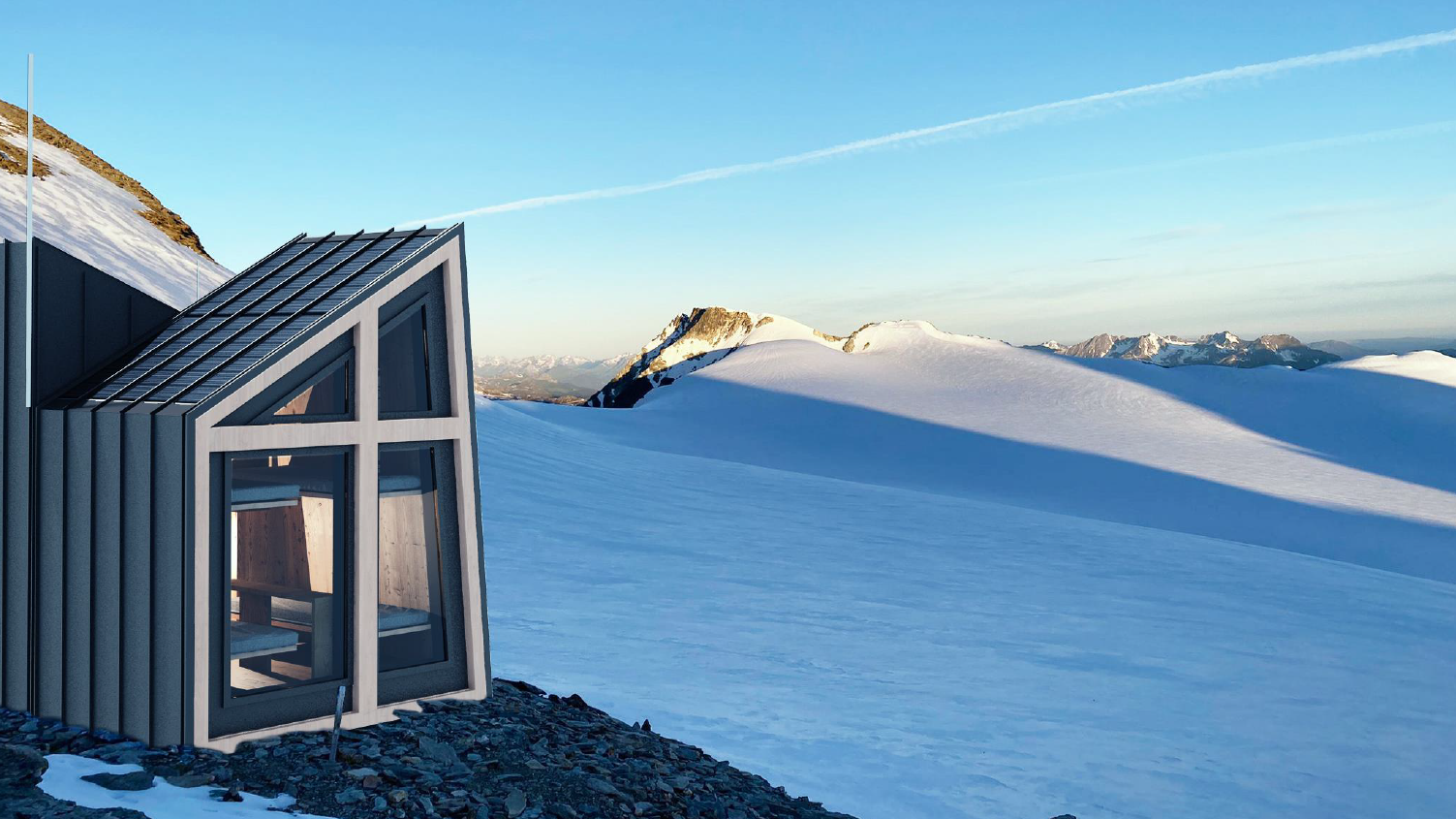
La Thuile Infinity Trekking — in sicurezza con le guide di alta montagna
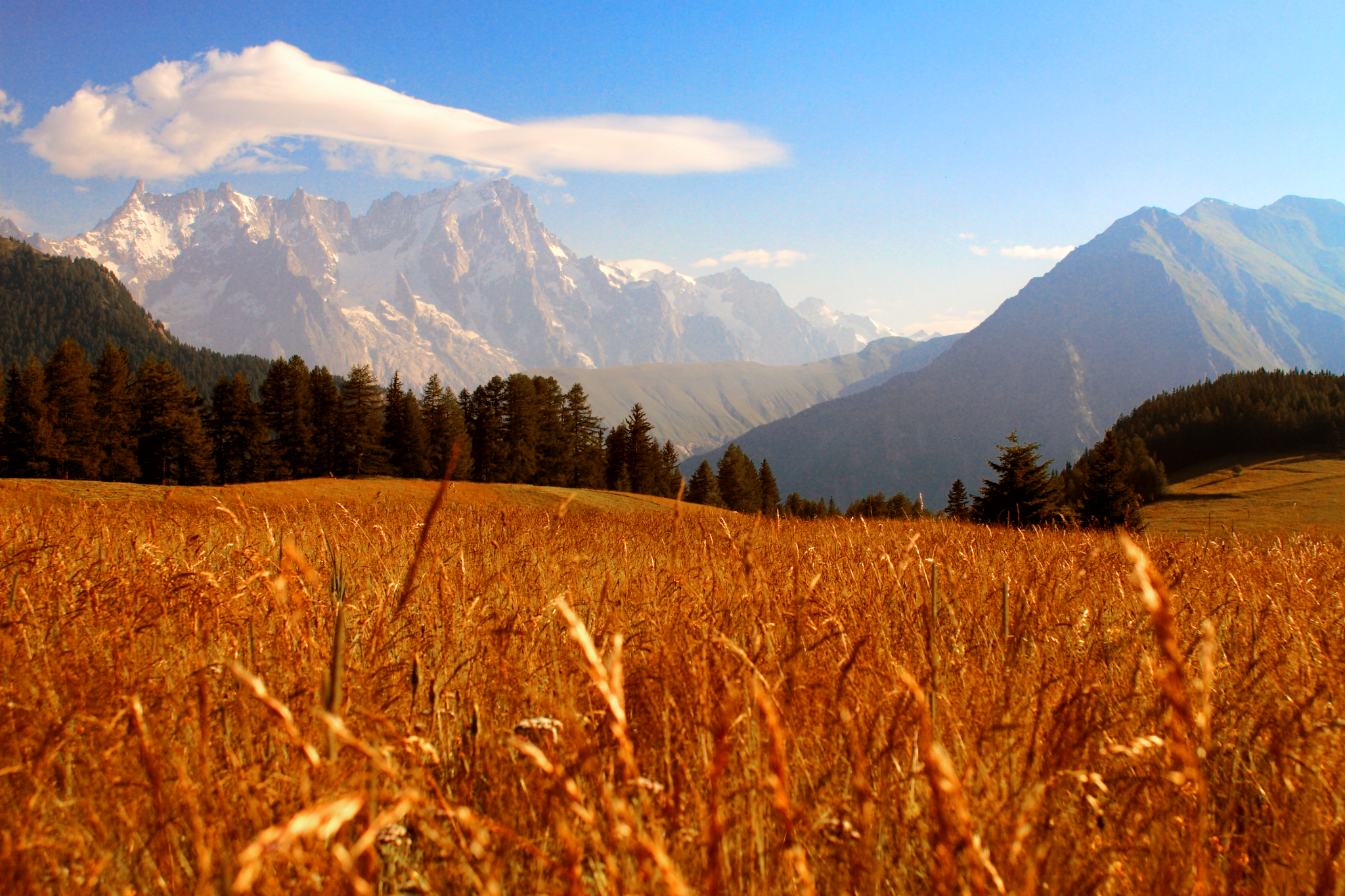
La Thuile Infinity Trekking – la natura wild del Colle San Carlo
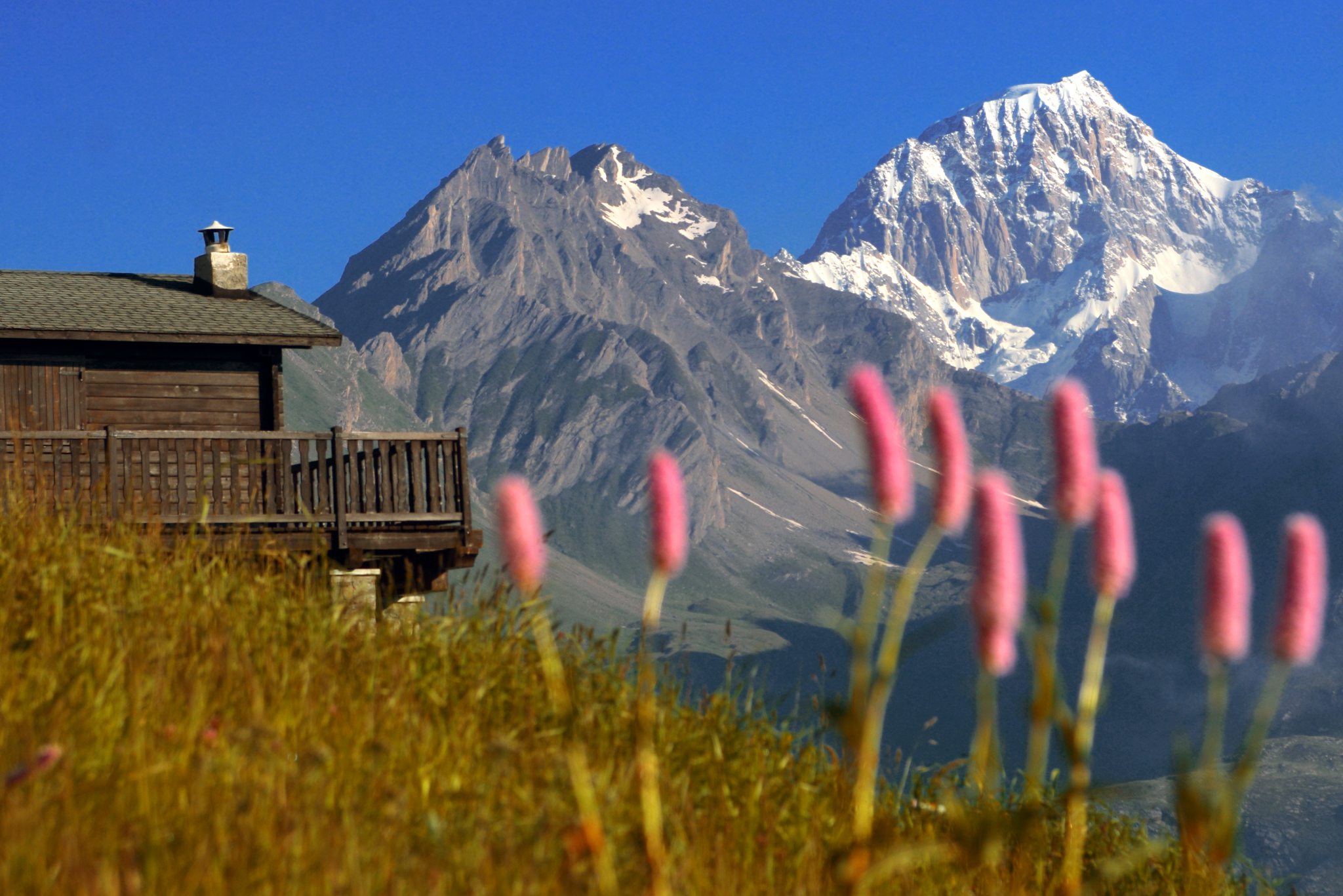
La Thuile Infinity Trekking – i percorsi per la famiglia
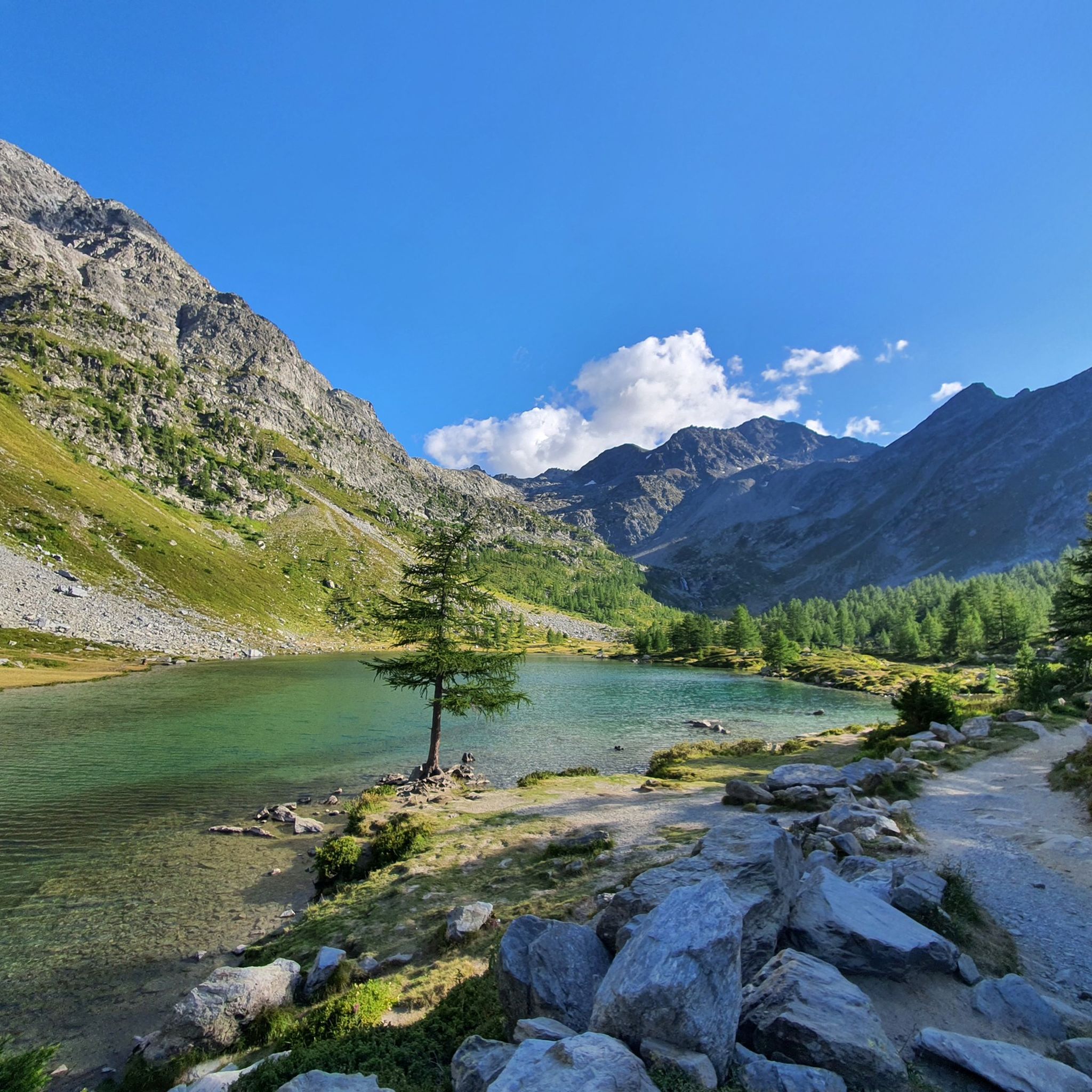
Hiking around Morgex
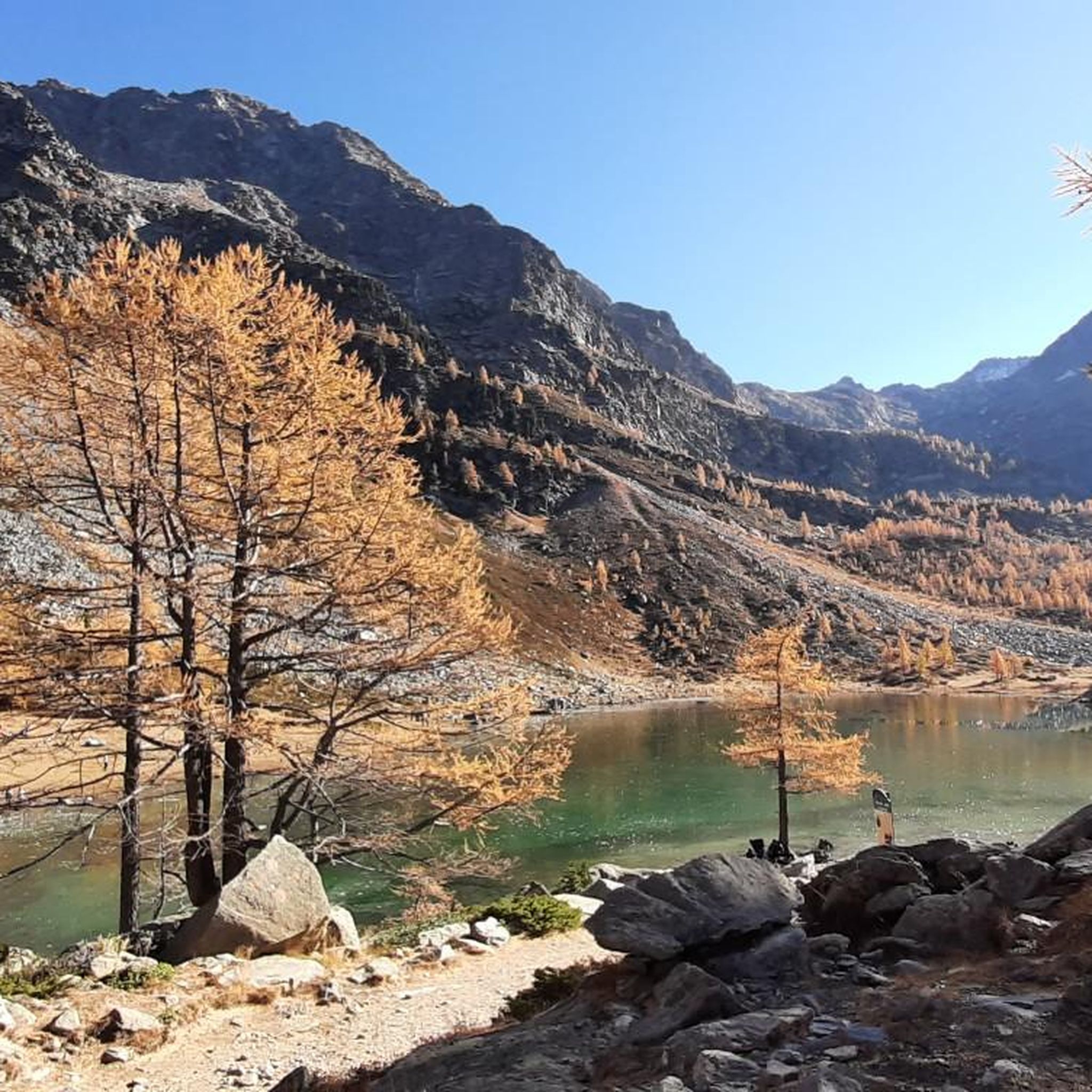
Cycling around Morgex
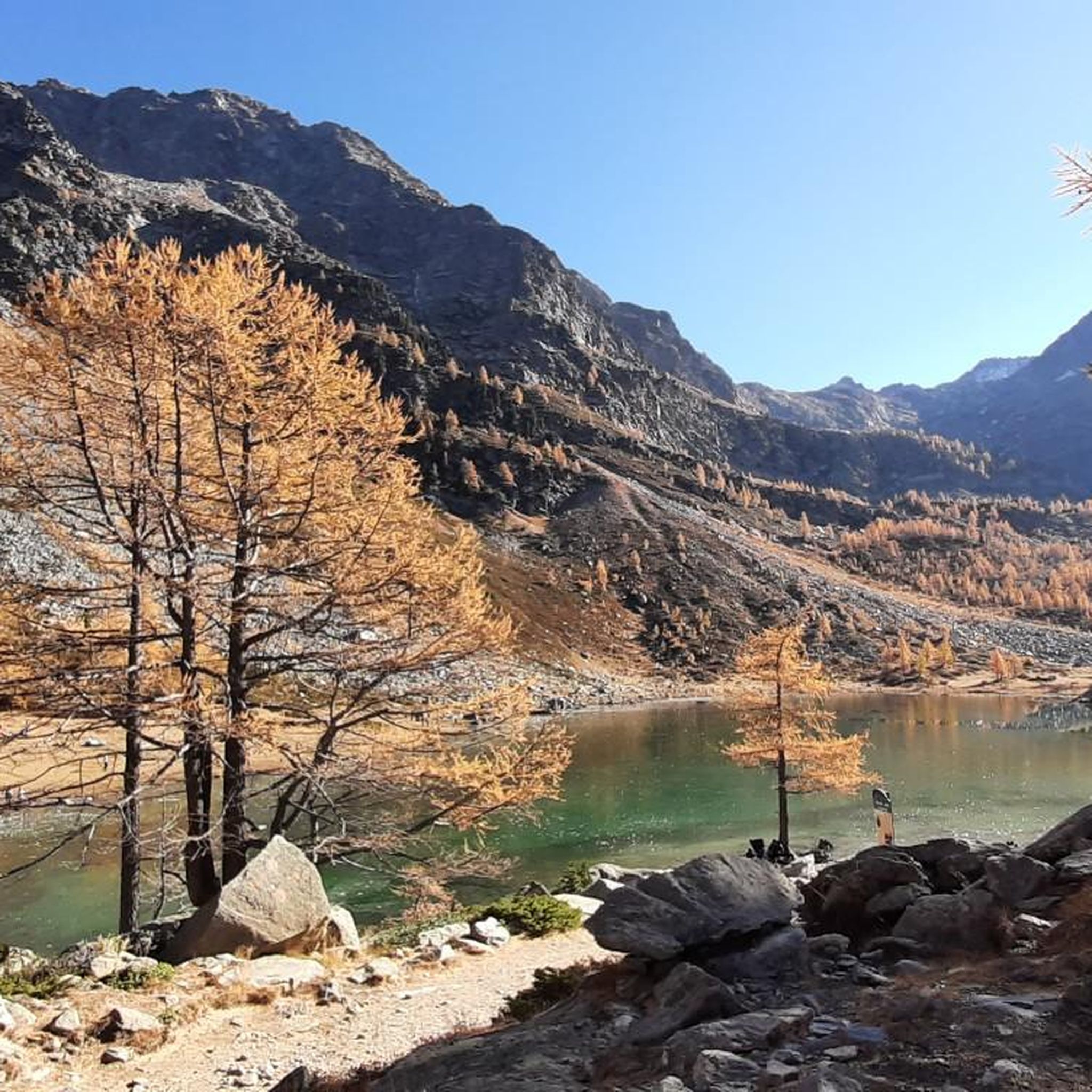
MTB Trails around Morgex
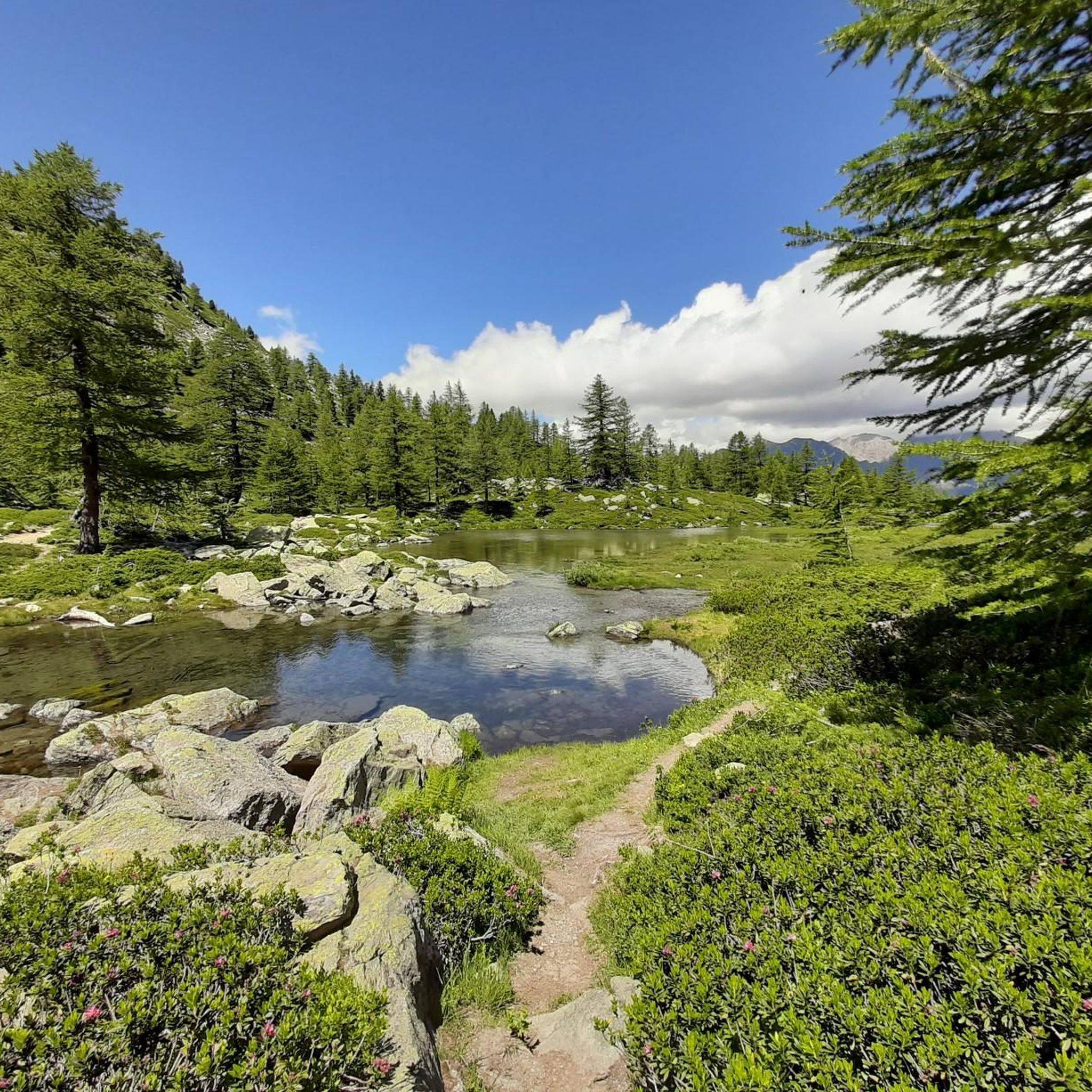
Running Trails around Morgex
Other adventures around Morgex


Tips from the Community

is located directly on the main road, ideal for a quick visit from Aosta city
0
0


Where can you find something like this?
0
0

It's worth climbing up to Tignes after the ascent to the colossus Iseran and descending via the winding road that takes us to Tignes 1500.
0
0
Perfect spot to take advantage and have a good refuel if you are coming from the French side.
0
0

Start of the ascent, the pass is further up later.
0
0
Frequently Asked Questions
How many road cycling routes are available around Morgex?
Morgex and the surrounding Aosta Valley offer a diverse network of over 40 road cycling routes. These routes cater to various skill levels, ranging from moderate to difficult, with a strong emphasis on significant elevation changes and mountain passes.
Are there easy road cycling routes for beginners in Morgex?
While many routes in Morgex feature challenging climbs, there are a few easier options available. The region's geography is characterized by alpine terrain, so even 'easy' routes may include some elevation gain, but they are designed to be more accessible for those new to road cycling in the mountains.
What are the typical distances and elevations for road bike trails in Morgex?
Road cycling routes around Morgex vary significantly. You can find shorter, moderate loops like the Pré-Saint-Didier – La Thuile loop from Morgex, which is about 26.7 miles (42.9 km) with around 850 meters of elevation gain. More challenging routes, such as the View of the Tignes dam – Iseran Pass loop from Pré-Saint-Didier, can extend to over 100 miles (170 km) with more than 4,400 meters of climbing.
What is the best time of year for road biking in Morgex?
The prime season for road cycling in Morgex and the Aosta Valley is typically from late spring (May/June) through early autumn (September/October). During these months, mountain passes are generally clear of snow, and the weather is more stable, offering ideal conditions for tackling the region's challenging climbs and enjoying the alpine scenery.
Are there any family-friendly road cycling options in the Morgex area?
While many routes in Morgex are geared towards experienced road cyclists due to significant elevation changes, families might find sections of valley roads or dedicated cycle paths more suitable. For a full-day family outing, consider exploring the flatter parts of the Val Ferret, which offers scenic views and less demanding terrain.
What challenging road bike climbs can I find near Morgex?
Morgex is an excellent base for challenging climbs. The ascent to Colle San Carlo is a notable and difficult climb, offering rewarding views. Another demanding option is the Colle San Carlo – La Thuile loop from Pré-Saint-Didier, which navigates through mountainous terrain with substantial elevation gain.
What scenic viewpoints can I discover along road cycling routes near Morgex?
The region offers numerous scenic spots. Along your rides, you might encounter breathtaking vistas such as the View of Courmayeur and Mount Chetif. For panoramic experiences, consider routes that pass near the Pointe Helbronner Panoramic Terrace, offering unparalleled alpine views.
Are there road bike loop routes available from Morgex?
Yes, Morgex is well-suited for loop routes. Many popular rides, such as the Pré-Saint-Didier – Val Ferret loop from Morgex, are designed as loops, allowing you to start and finish in the same location while experiencing diverse landscapes and challenging climbs.
What do other road cyclists enjoy most about road cycling in Morgex?
The road cycling experience in Morgex is highly rated by the komoot community, with an average score of 4.6 stars from over 100 reviews. Cyclists frequently praise the challenging mountain passes, the stunning alpine valleys, and the rewarding views of glacial formations and high-altitude landscapes.
What kind of attractions or landmarks can I find near the road cycling routes?
Beyond the cycling itself, the area around Morgex offers several points of interest. You can find natural beauty like Lac du Miage, or historical sites such as Punta della Croce and Ancient Fortifications, which can be explored as part of or alongside your cycling adventures.
Is winter road cycling possible in the Aosta Valley around Morgex?
Winter road cycling in the high-altitude areas around Morgex and the Aosta Valley can be challenging due to snow and ice, especially on mountain passes. While lower valley roads might be clear, the best and safest time for road cycling is generally outside of the winter months, when passes are open and conditions are more favorable.
Most popular attractions around Morgex

Get inspired with the komoot mobile app


Explore more
Browse the best Road cycling routes in other regions.
