The best road cycling routes around Starrkirch-Wil
4.5
(489)
10,269
riders
248
rides
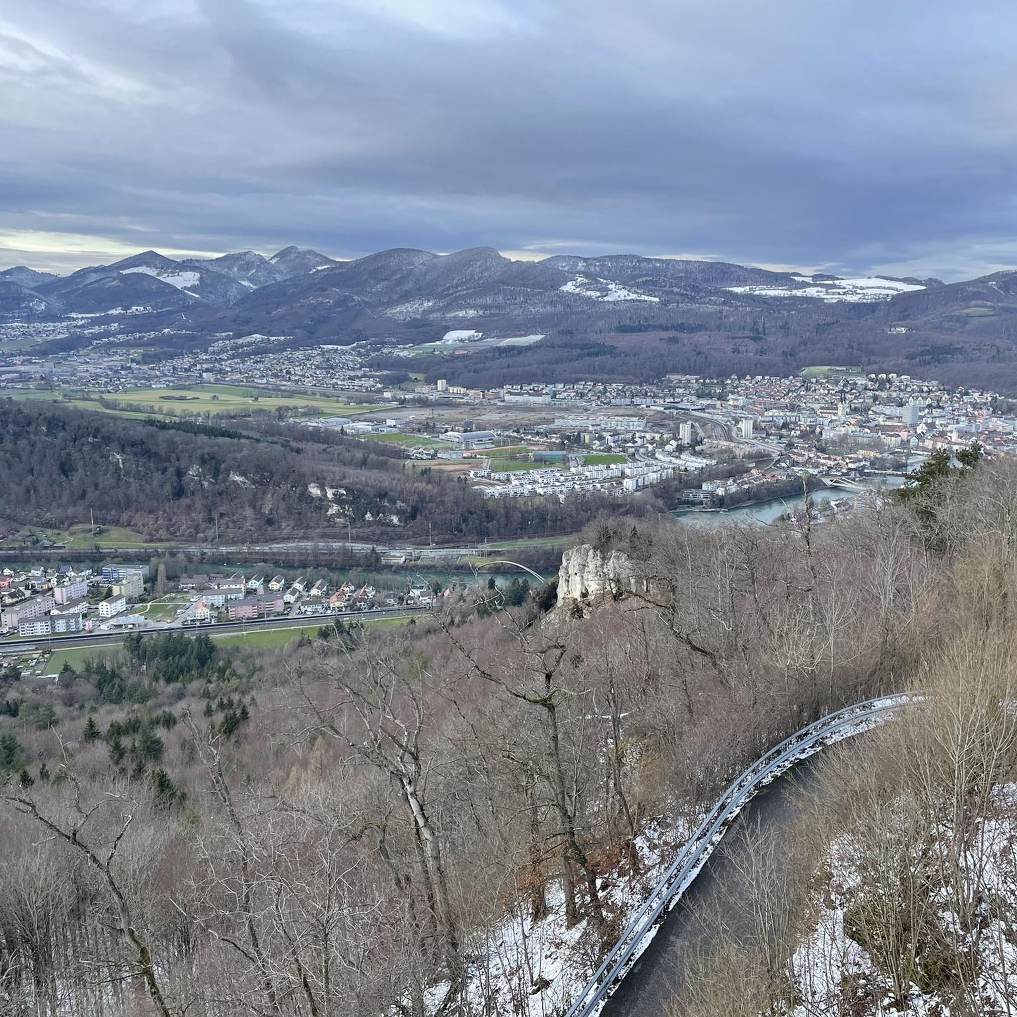
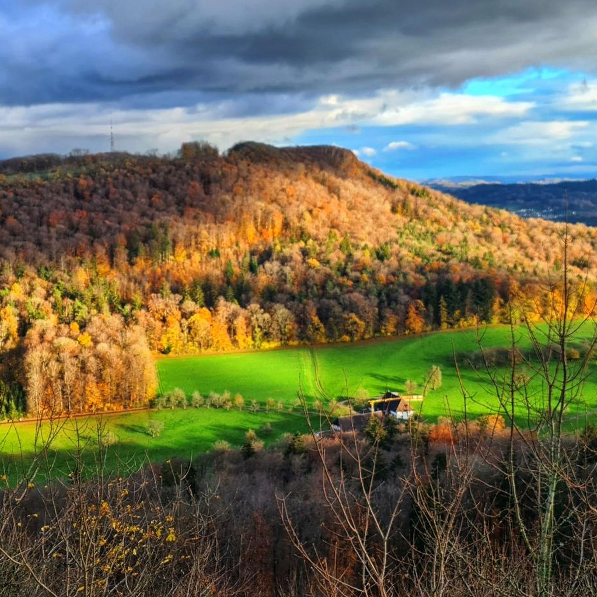
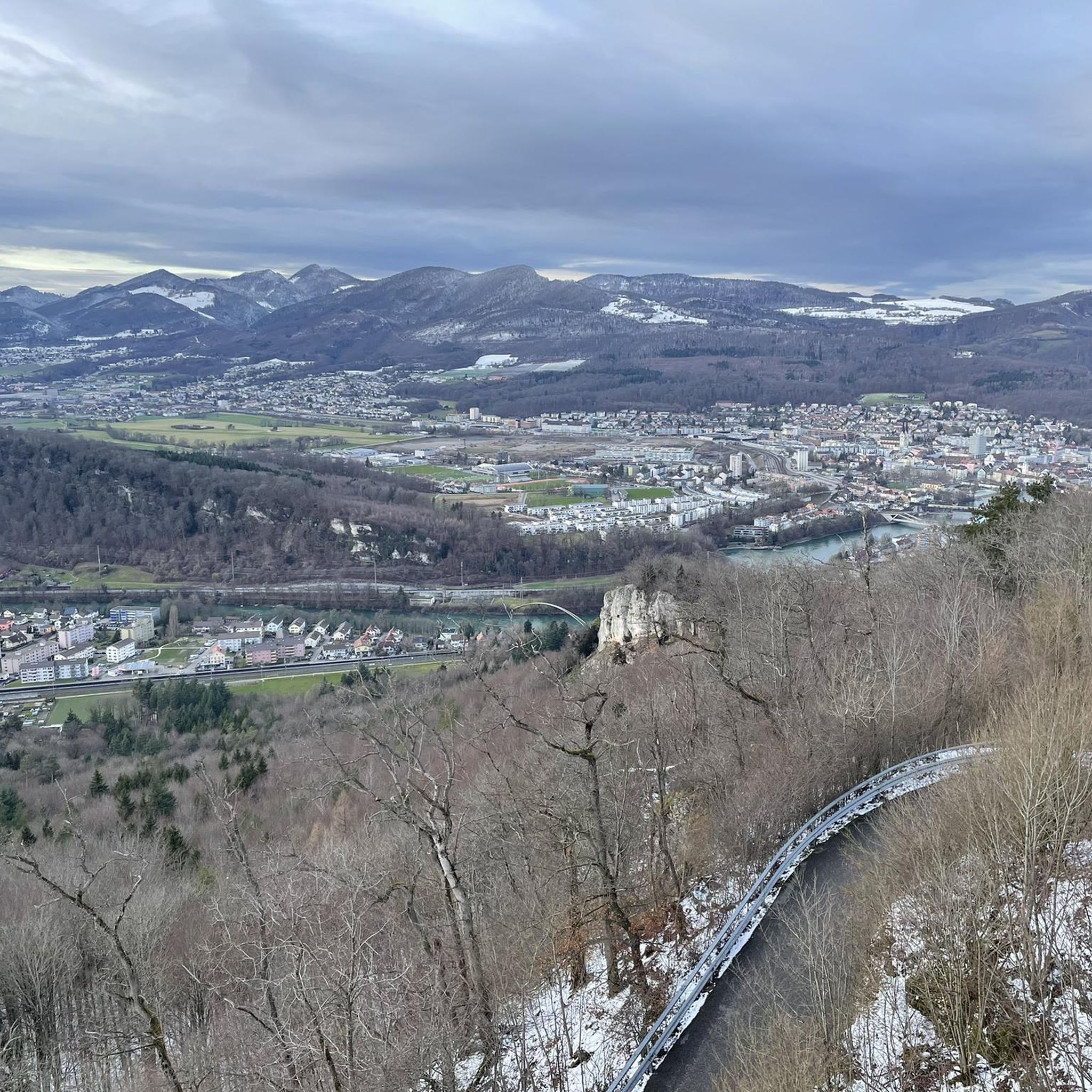
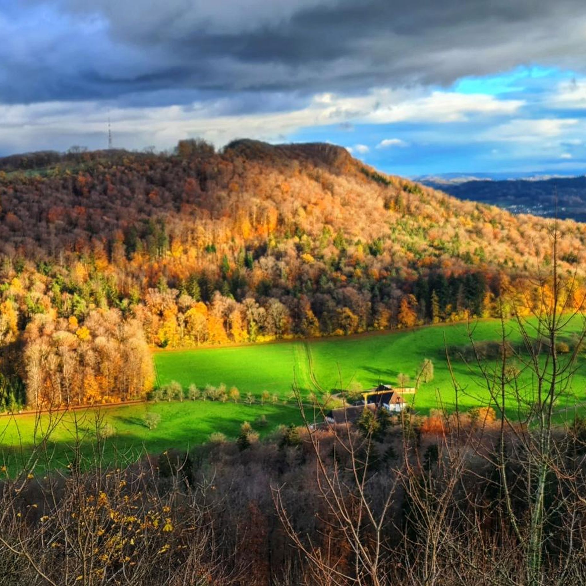
Road cycling around Starrkirch-Wil offers diverse landscapes, featuring open meadows, arable land, and scattered fruit trees, with local forests like Wilerwald providing shaded sections. The region is strategically located along the Mittelland-Route (National Cycle Route 5) and the Aare-Route (National Cycle Route 8), part of Switzerland's extensive national cycling network. Routes often follow the serene Aare riverbank and include gentle ascents and descents, providing panoramic views that can extend to the distant Alps. This area provides a blend of natural…
Last updated: October 13, 2026
4.4
(16)
210
riders
33.6km
01:27
180m
180m
Moderate road ride. Great for any fitness level. Some segments of this route may be unpaved and difficult to ride.
4.8
(17)
313
riders
70.3km
03:47
1,230m
1,230m
Hard road ride. Very good fitness required. Some segments of this route may be unpaved and difficult to ride.

3.7
(6)
127
riders
47.5km
02:03
210m
210m
Moderate road ride. Good fitness required. Some segments of this route may be unpaved and difficult to ride.
5.0
(2)
74
riders
71.6km
04:26
1,890m
1,890m
Hard road ride. Very good fitness required. Mostly well-paved surfaces and easy to ride.
5.0
(3)
82
riders
73.1km
04:00
1,430m
1,430m
Hard road ride. Very good fitness required. Mostly well-paved surfaces and easy to ride.
Get access to more routes and recommendations from other explorers.
Already have an account?
Our route recommendations are based on thousands of hikes, rides, and runs completed by other people on komoot.
Start today with a free account
Your next adventure awaits.

Tips from the Community

Quiet mountain road with excellent surface. Some commuters during rush hour.
0
0


Neu-Falkenstein Castle is one of the most beautiful and largest ruins in the canton of Solothurn. The climb to the castle is rewarded with a wonderful view over the Balstahl Gorge, especially if you climb the keep.
0
0

Sürk cool starting point for Vili Tourene
0
0

This fountain located on the cycleway leading through the village has freshwater located in the shade and there are several other small shops to load up on snacks and food.
0
0

Despite its name, it is believed that the castle is older than Alt-Falkenstein Castle, located further down the valley on the other side. It was the seat of the Swiss noble Falkenstein family.
0
0
Despite its name, it is believed that the castle is older than Alt-Falkenstein Castle, located further down the valley on the other side. It was the seat of the Swiss noble Falkenstein family.
1
0
Balsthal is a great starting point leading to 4 nice low level passes (Passwang, Schelten, Hauenstein and Binzberg via Gänsbrunnen). The village itself does offer several restaurants from inexpensive bistros to 3 star restaurants as well as several fountains to fill up your water bottles.
0
0
Frequently Asked Questions
What kind of terrain can I expect on road cycling routes around Starrkirch-Wil?
The region around Starrkirch-Wil offers a varied landscape for road cyclists. You'll find routes traversing open meadows, arable land, and areas with scattered fruit trees. Local forests like Wilerwald provide shaded sections, while many paths follow the serene Aare riverbank. Expect a mix of gentle ascents and descents, with some routes featuring significant elevation gain, particularly those heading towards mountain passes.
Are there routes suitable for different skill levels?
Yes, Starrkirch-Wil caters to a range of road cycling abilities. Out of over 250 routes available, you'll find options for easy, moderate, and difficult skill levels. For instance, routes like View of the Aare – View of Aarburg Fortress loop from Olten Hammer are considered moderate, while challenging rides such as Breitenhöchi Pass – Neu-Falkenstein Castle Ruins loop from Olten Hammer offer substantial elevation gain.
What are some notable landmarks or viewpoints I can see while cycling?
Road cycling routes around Starrkirch-Wil offer numerous points of interest. You can enjoy views of the Aare River and the historic Aarburg Fortress. Other routes pass by the ruins of Neu-Falkenstein Castle or offer vistas of Olten and its Old Wooden Bridge. For panoramic views, consider routes that lead to highlights like Geissflue, the Wisenberg Observation Tower, or the Belchenflue Summit Viewpoint.
What is the best time of year for road cycling in Starrkirch-Wil?
The region's diverse landscapes, including open meadows and forests, are enjoyable across multiple seasons. While specific seasonal recommendations aren't detailed, the presence of national cycling routes suggests good conditions from spring through autumn. Always check local weather conditions before heading out, especially for routes involving higher elevations.
Are there any family-friendly road cycling routes in the area?
While specific 'family-friendly' road cycling routes are not explicitly categorized, the region's network includes many easy and moderate routes that could be suitable for families. Routes along the Aare riverbank, for example, tend to be flatter and more accessible. It's recommended to check the difficulty and elevation profile of individual routes on komoot to find the best fit for your family's experience level.
Can I bring my dog on road cycling routes around Starrkirch-Wil?
Road cycling routes are generally designed for cyclists, and the suitability for dogs can vary greatly depending on the route's surface, traffic, and local regulations. While some paths might be quiet enough for a dog on a leash, it's best to consider dedicated walking or hiking trails if you plan to bring your dog, especially if they will be running alongside your bike. Always ensure your dog's safety and comfort.
How well-connected is Starrkirch-Wil for road cyclists?
Starrkirch-Wil is strategically located along two significant national cycling routes: the Mittelland-Route (National Cycle Route 5) and the Aare-Route (National Cycle Route 8). These are part of Switzerland's extensive 3,300-kilometer network of uniformly signposted national cycling paths, providing excellent connectivity to explore the wider region. Additionally, there are over 3,000 kilometers of regional routes.
What do other road cyclists say about the routes in Starrkirch-Wil?
The road cycling routes in Starrkirch-Wil are highly rated by the komoot community, with an average score of 4.6 stars from over 400 reviews. Cyclists often praise the varied terrain, the scenic views that can extend to the distant Alps, and the well-connected infrastructure provided by the national and regional cycling networks.
Are there any circular road cycling routes available?
Yes, many road cycling routes around Starrkirch-Wil are designed as loops, allowing you to start and end at the same point. Examples include the View of Olten – Old Wooden Bridge, Olten loop from Dulliken, which offers varied terrain, and the more challenging Reigoldswil Ascent and Descent – Passwang Tunnel loop from Olten Hammer.
Where can I find parking for road cycling routes in Starrkirch-Wil?
While specific parking facilities for cyclists in Starrkirch-Wil are not detailed, its proximity to Olten provides convenient options. Many routes start from towns or villages where public parking is available. It's advisable to check the starting point of your chosen route on komoot for specific parking recommendations or nearby public transport connections.
Can I reach the road cycling routes using public transport?
Starrkirch-Wil benefits from its location as an agglomeration community of Olten, which is a significant transport hub. This suggests good accessibility via public transport. Switzerland's public transport network is generally bike-friendly, though specific rules for carrying bikes may apply depending on the service. Check local train or bus schedules and bike transport policies for the most up-to-date information.
Are there any long-distance road cycling routes that pass through Starrkirch-Wil?
Yes, Starrkirch-Wil is situated along two major national cycling routes: the Mittelland-Route (National Cycle Route 5) and the Aare-Route (National Cycle Route 8). These routes are part of a larger national network, making Starrkirch-Wil an excellent starting or stopping point for longer road cycling tours across Switzerland.
Most popular routes around Starrkirch-Wil
Most popular attractions around Starrkirch-Wil

Get inspired with the komoot mobile app


Explore more
Browse the best Road cycling routes in other regions.
