The best road cycling routes around Valgrisenche
4.4
(165)
7,929
riders
33
rides
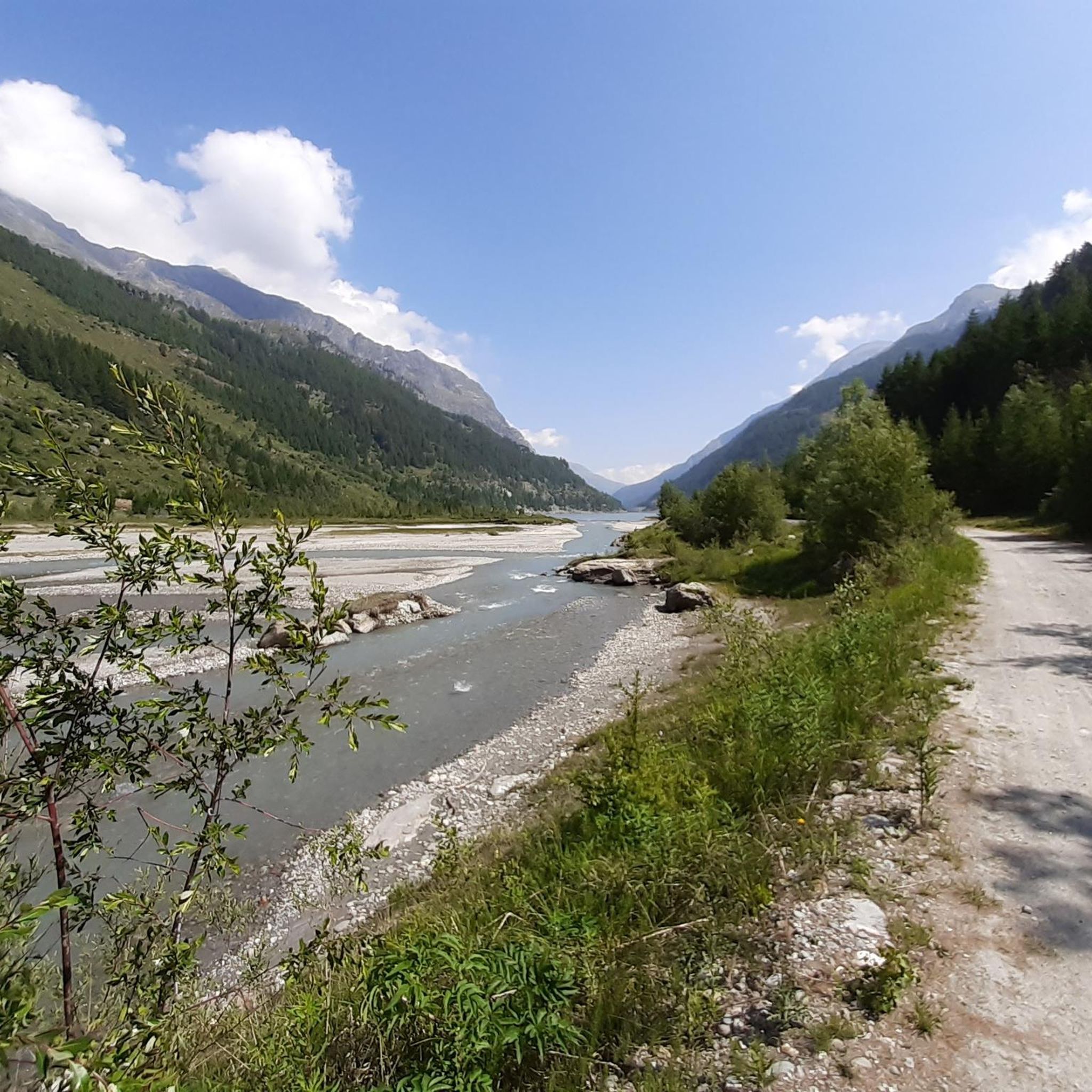
Road cycling around Valgrisenche offers routes through an alpine valley characterized by high mountain peaks and forested slopes. The region features challenging ascents to mountain passes and scenic rides alongside rivers. This terrain provides varied gradients suitable for different road cycling abilities.
Best road cycling routes around Valgrisenche
- The most popular road cycling route is Val di Rhêmes Climb to Thumel, a 17.3 miles (27.8 km) trail that takes 1 hour 41 minutes to complete. This moderate route features…
Last updated: October 9, 2026
4.8
(40)
1,658
riders
54.3km
03:10
1,340m
1,340m
Hard road ride. Very good fitness required. Mostly well-paved surfaces and easy to ride.
4.5
(2)
32
riders
27.8km
01:42
730m
730m
Pedaling from Coveyrand-Vieu to Thumel is a moderate 17.3-mile road cycling route through the Aosta Valley, gaining 2402 feet.

4.8
(30)
1,075
riders
36.6km
02:13
970m
970m
Hard road ride. Very good fitness required. Some segments of this route may be unpaved and difficult to ride.
4.6
(5)
402
riders
42.6km
02:21
910m
910m
Hard road ride. Very good fitness required. Mostly well-paved surfaces and easy to ride.
4.3
(6)
712
riders
94.8km
05:32
2,300m
2,300m
Hard road ride. Very good fitness required. Some segments of this route may be unpaved and difficult to ride.
Get access to more routes and recommendations from other explorers.
Already have an account?
Our route recommendations are based on thousands of hikes, rides, and runs completed by other people on komoot.
Start today with a free account
Your next adventure awaits.
Popular around Valgrisenche
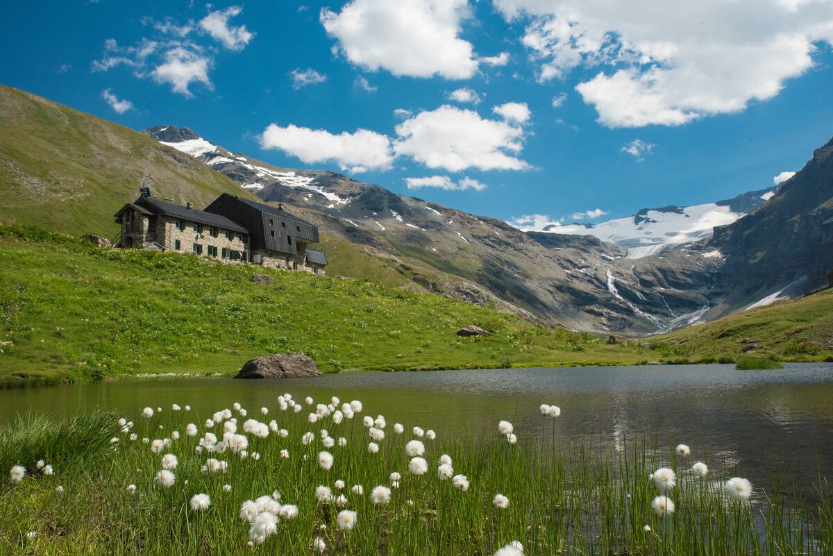
Hiking to the Aosta Valley’s mountain huts: 10 beautiful trails
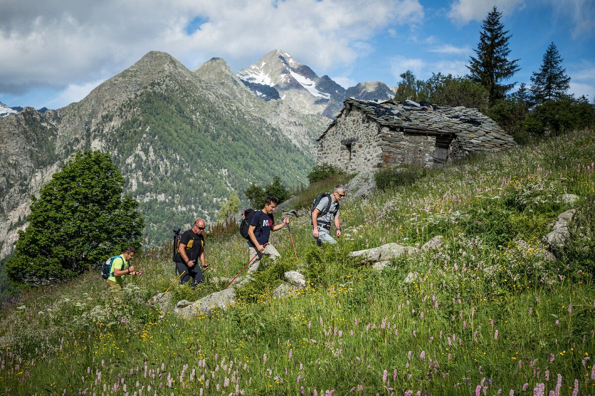
Hidden trails in the Aosta Valley – mountains you don't yet know
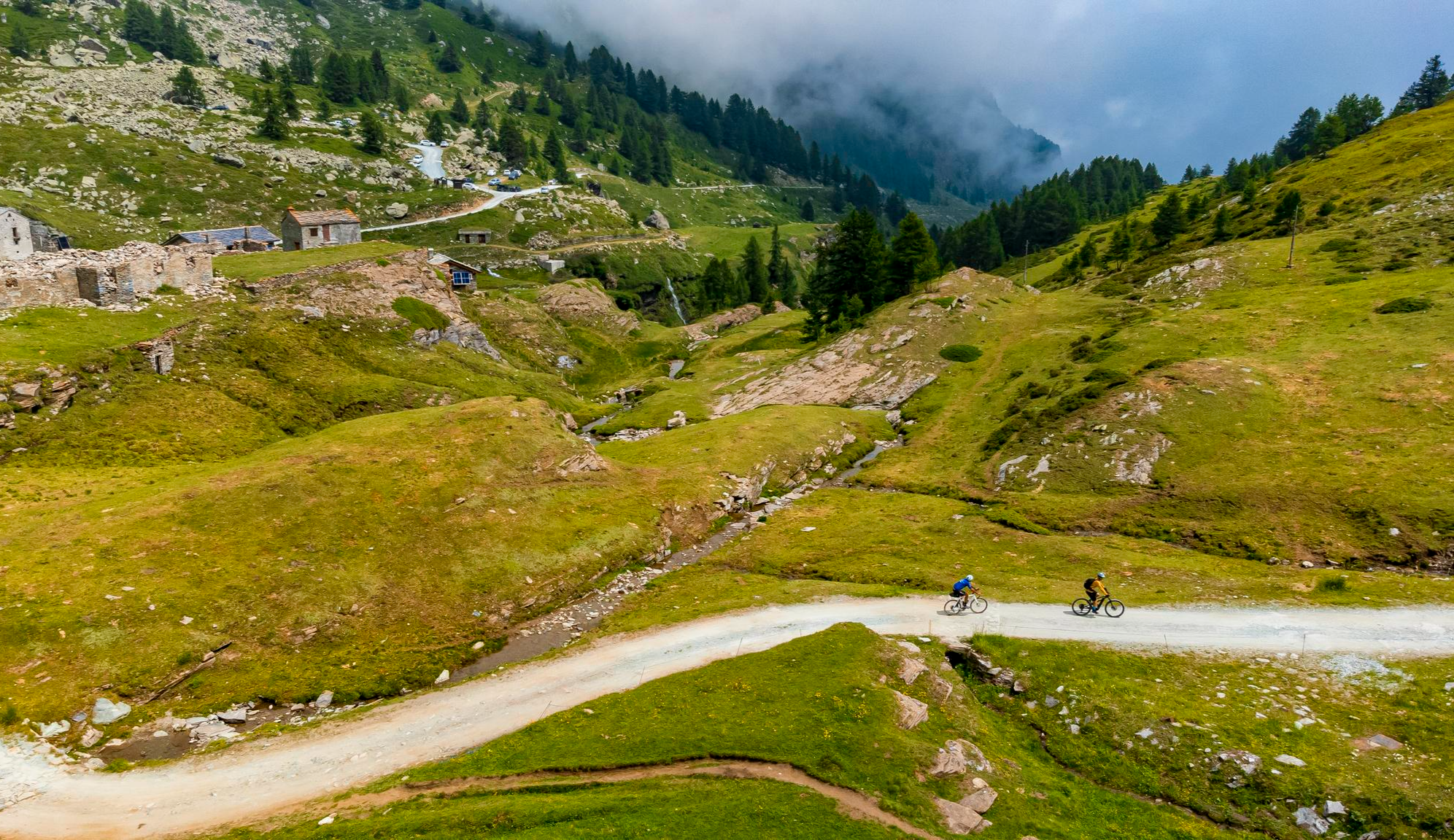
Must-do gravel routes in the Aosta Valley – the heart of the Italian Alps

Alta Via n. 2 of the Aosta Valley — high peaks and beautiful valleys in Italy
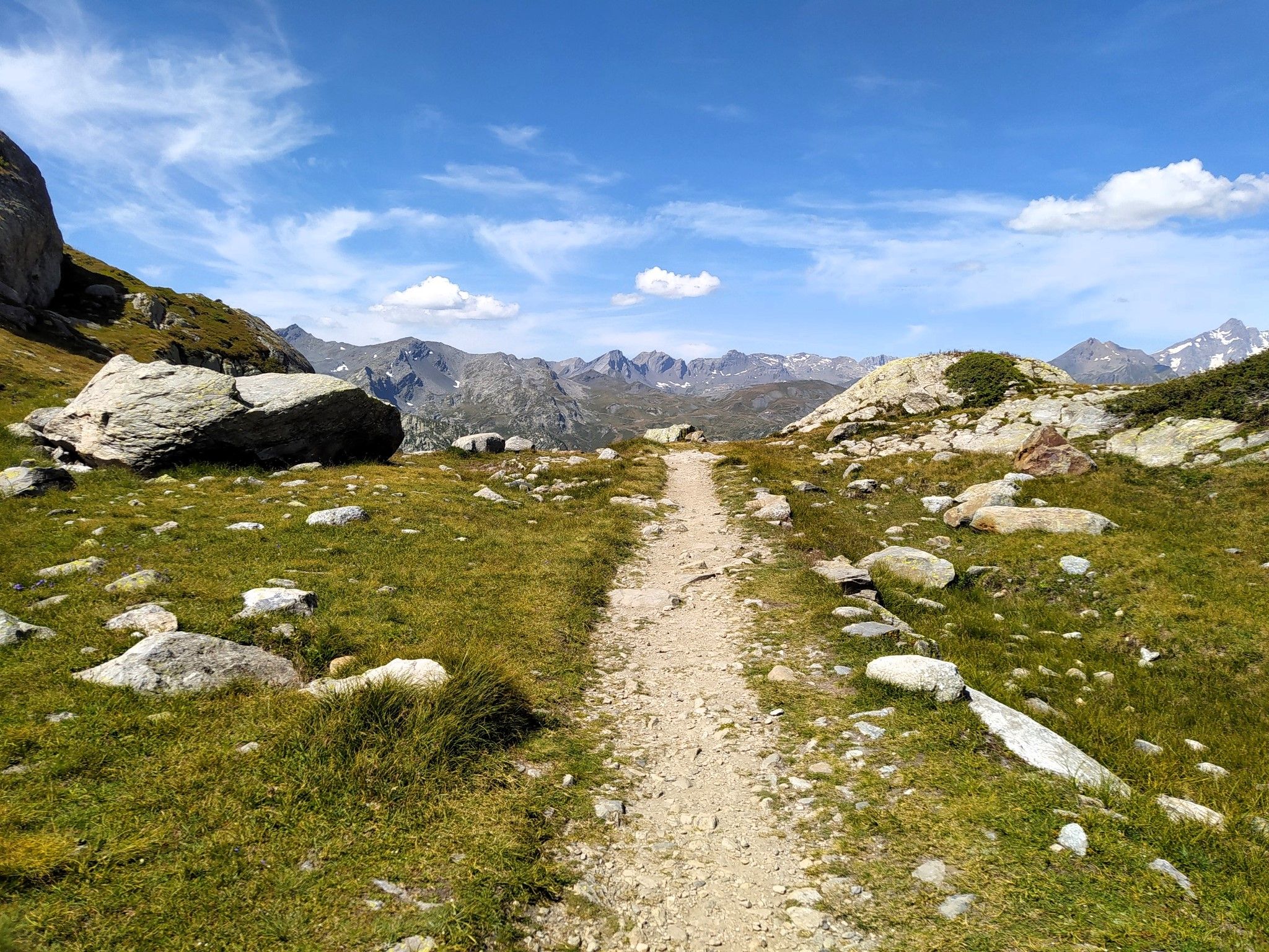
Running in paradise – Alta Via 2 of Valle d'Aosta
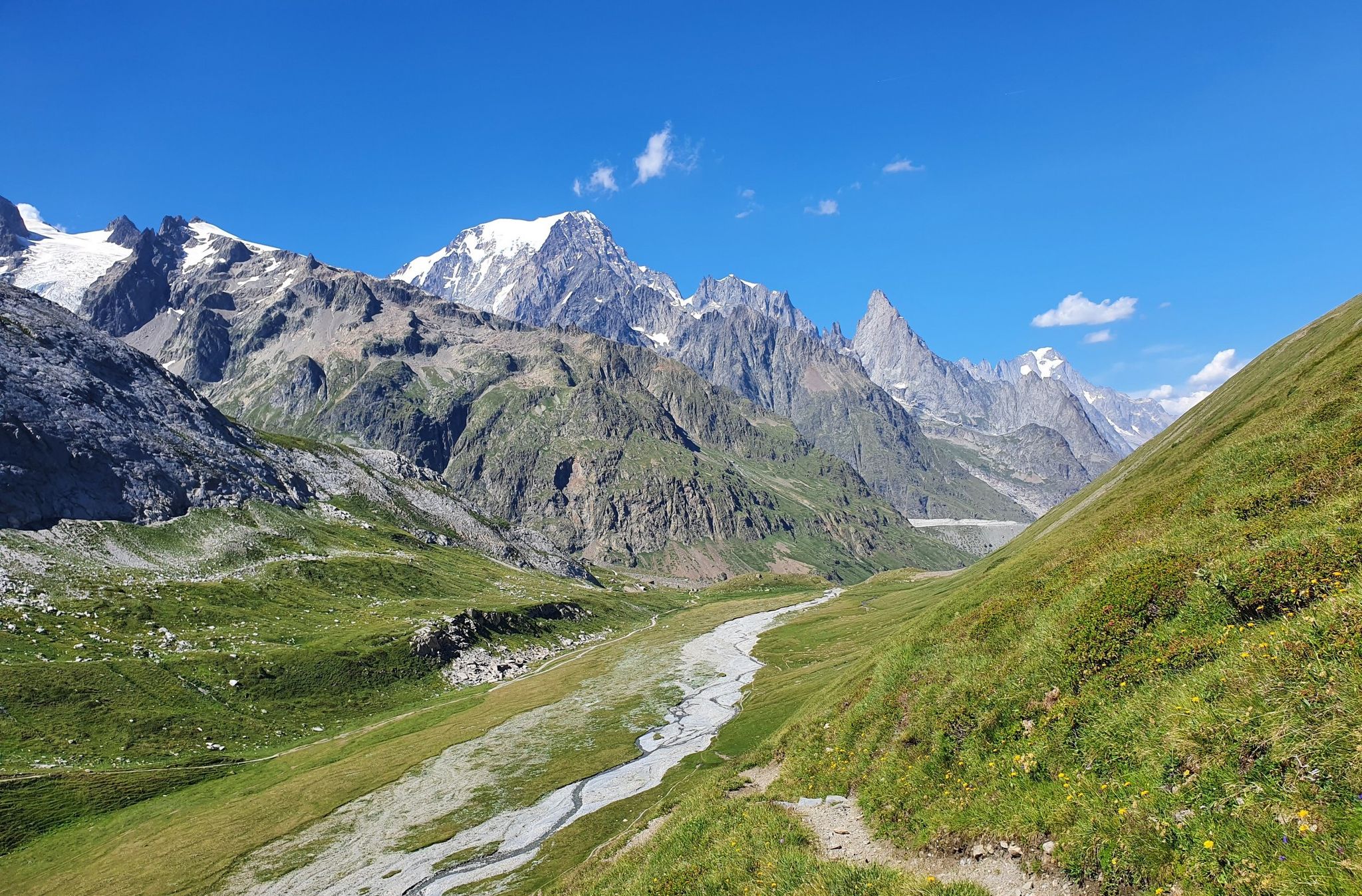
High peaks and beautiful valleys in Italy – Aosta Valley’s Alta Via Trail 2
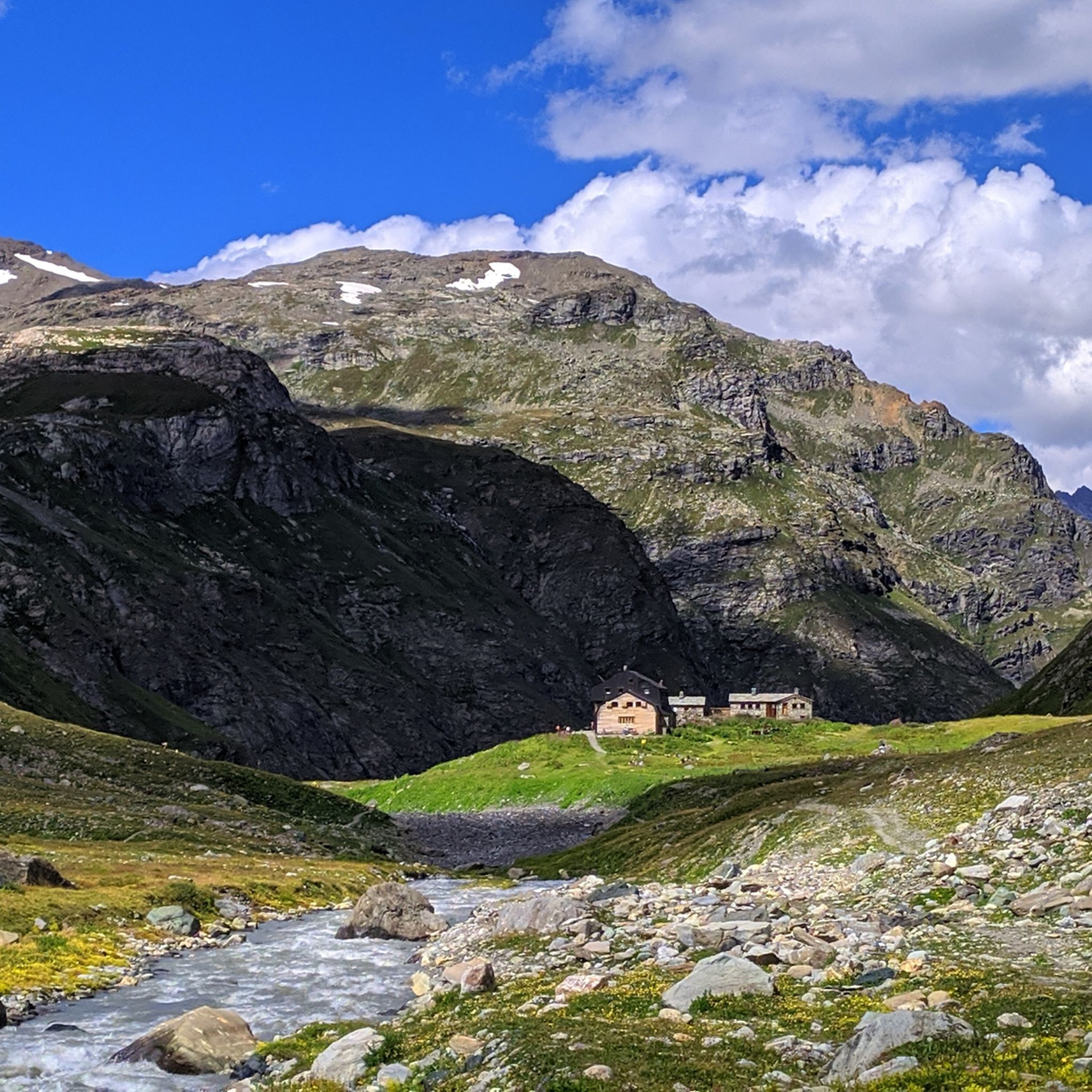
Hiking around Valgrisenche
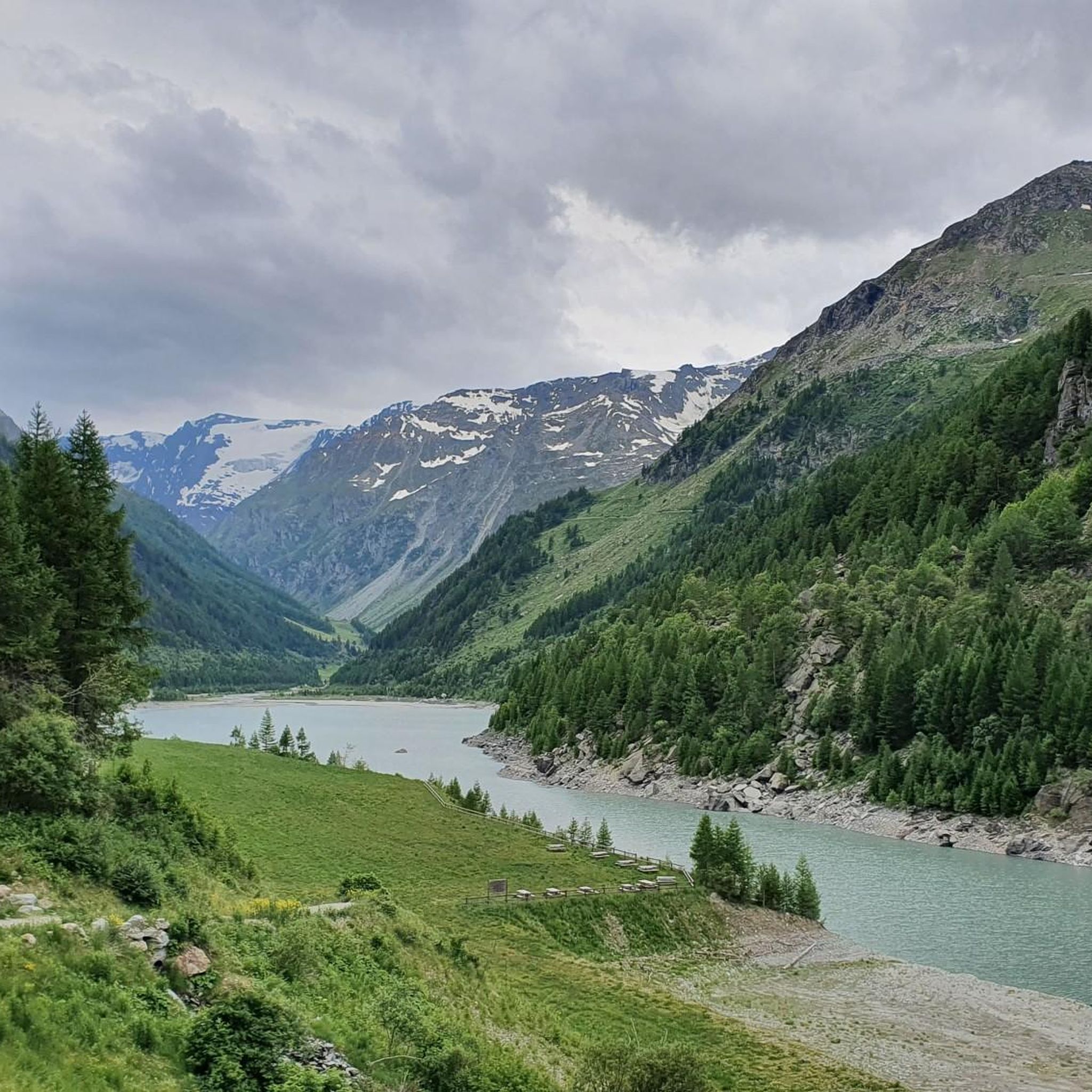
Cycling around Valgrisenche
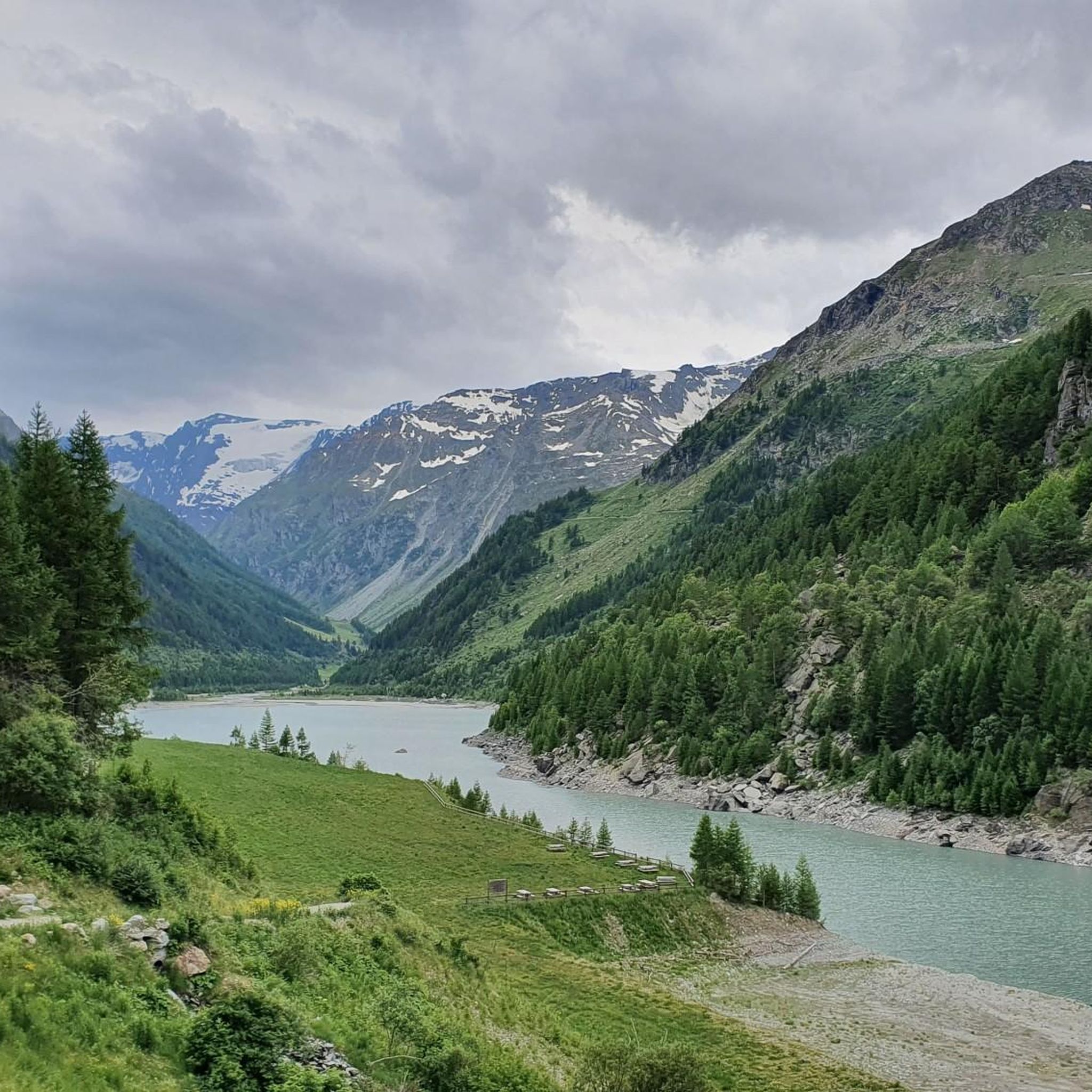
MTB Trails around Valgrisenche
Running Trails around Valgrisenche
Other adventures around Valgrisenche


Tips from the Community

La Rosière is an alpine resort overlooking the French Tarantasia, known for its panoramic position and its connection to La Thuile through the international Espace San Bernardo area. In summer, it is an ideal starting point for hikes and mountain bike tours, with numerous services dedicated to bikers and splendid views of the French Alps.
0
0

I passed through there today by bike and it seemed like a nice mountain village, now I'm in Pont in Valsavarenche with the camper, I really think I'll go there in the next few days to explore the small village better.
0
0

A great climb, quiet at the beginning and at the end, but less so in the middle :) Small recommendation, there are several tunnels on the road, including one relatively long (about a kilometer I'd say) and not very well lit. Think about your lights.
0
0


Where can you find something like this?
0
0

It's worth climbing up to Tignes after the ascent to the colossus Iseran and descending via the winding road that takes us to Tignes 1500.
0
0

Start of the ascent, the pass is further up later.
0
0
Frequently Asked Questions
How many road cycling routes are available in Valgrisenche?
Valgrisenche offers over 30 road cycling routes, catering to various skill levels. These include 6 easy routes, 17 moderate routes, and 10 difficult routes, providing a wide range of options for exploration.
Are there easy road cycling routes suitable for beginners in Valgrisenche?
Yes, Valgrisenche features 6 easy road cycling routes. While specific beginner-focused routes are not detailed here, the region's varied terrain includes options with gentler gradients, often found alongside river valleys, making them suitable for those new to road cycling or looking for a relaxed ride.
What kind of challenges can advanced road cyclists expect in Valgrisenche?
Advanced road cyclists in Valgrisenche can look forward to challenging ascents and significant elevation gains, characteristic of high mountain passes. There are 10 difficult routes, such as the View of the Tignes dam – La Rosière loop from Funival, which covers 57.1 miles (91.9 km) with over 2,200 meters of climbing, offering a demanding experience through mountainous terrain.
What is the best time of year for road cycling in Valgrisenche?
The best time for road cycling in Valgrisenche is typically during the summer months, from late June to early September, when mountain passes are clear of snow and weather conditions are generally stable and warm. Always check local weather forecasts before heading out, as alpine conditions can change rapidly.
Are there any circular road cycling routes in Valgrisenche?
Yes, many routes in Valgrisenche are designed as loops, allowing cyclists to start and finish at the same point. An example is the Col de l'Iseran – Iseran biotope loop from Funival, a moderate 19.8 miles (31.8 km) path that offers scenic views of a high mountain pass and natural biotope areas.
What are some scenic viewpoints or attractions along the road cycling routes?
Road cycling routes in Valgrisenche offer numerous scenic viewpoints. You can encounter stunning mountain vistas, such as those near Croce della Roley, or explore historical sites like Punta della Croce and Ancient Fortifications. The region is also known for its beautiful waterfalls, including the Rutor’s First Waterfall and Dora di Rhêmes Waterfall, which can be found nearby.
Is there public transport access to road cycling routes in Valgrisenche?
Public transport options in Valgrisenche are limited, especially for reaching specific route starting points in the high mountains. It is advisable to check local bus schedules for connections within the valley, but for most road cycling routes, personal vehicle transport to the starting point is often the most convenient option.
Where can I find parking for road cycling routes in Valgrisenche?
Parking is generally available in the main villages and near popular trailheads within Valgrisenche. Look for designated parking areas in towns like Valgrisenche itself or other valley communities. Always ensure you park responsibly and check for any local parking restrictions.
What do other road cyclists enjoy the most about road cycling in Valgrisenche?
The area is highly rated by the komoot community, with an average score of 4.5 stars from over 100 reviews. Reviewers often praise the challenging mountain passes, the serene alpine valleys, and the stunning views of dams and natural biotopes. The variety of routes suitable for different abilities is also frequently highlighted.
Are there any cafes or places to refuel near the road cycling trails?
While high mountain routes may have limited facilities, you can typically find cafes, restaurants, and small shops in the villages and towns within the Valgrisenche valley. It's always recommended to carry sufficient water and snacks, especially on longer or more remote rides, and plan your stops in advance.
Can you recommend a moderate road cycling route in Valgrisenche?
A popular moderate option is the Val di Rhêmes Climb to Thumel. This 17.3 miles (27.8 km) route features a steady climb through an alpine valley, offering a rewarding experience without the extreme demands of the most difficult ascents.
What are the typical distances and elevations for road cycling routes in Valgrisenche?
Road cycling routes in Valgrisenche vary significantly. Distances can range from shorter loops of around 15-20 miles (24-32 km) to longer, more challenging rides exceeding 50 miles (80 km). Elevation gains also vary, from moderate climbs of a few hundred meters to significant ascents over 2,000 meters on difficult routes, reflecting the region's mountainous terrain.
Most popular routes around Valgrisenche
Most popular attractions around Valgrisenche

Get inspired with the komoot mobile app


Explore more
Browse the best Road cycling routes in other regions.
