The best MTB trails around Uri
4.6
(109)
788
riders
54
rides
Mountain biking around Uri, a canton in central Switzerland, features a landscape of deep valleys, the Reuss River, and towering Alpine peaks. The region includes sheer cliffs, rock fields, meadows, and alpine lakes such as Arnisee and Lake Seeli. Uri's mountainous topography provides varied terrain for mountain biking, from sustained climbs to long descents.
Best mountain bike trails around Uri
- The most popular mountain bike trail is Water point – San Leonardo Church loop from Uri, a 33.7 miles…
Last updated: October 11, 2026
6
riders
38.4km
03:01
720m
720m
Moderate mountain bike ride. Good fitness required. Advanced riding skills necessary.
3
riders
25.8km
02:08
570m
570m
Moderate mountain bike ride. Good fitness required. Advanced riding skills necessary.

4.5
(4)
8
riders
62.1km
04:13
670m
670m
Moderate mountain bike ride. Good fitness required. Suitable for all skill levels.
4.5
(2)
6
riders
32.5km
02:25
650m
650m
Moderate mountain bike ride. Good fitness required. Suitable for all skill levels.
7
riders
35.1km
02:57
610m
610m
Moderate mountain bike ride. Good fitness required. Suitable for all skill levels.
Get access to more routes and recommendations from other explorers.
Already have an account?
Our route recommendations are based on thousands of hikes, rides, and runs completed by other people on komoot.
Start today with a free account
Your next adventure awaits.

Tips from the Community

Along the SP 28, in a very panoramic stretch, there is a small fountain-drinking trough useful for filling your water bottle.
0
0
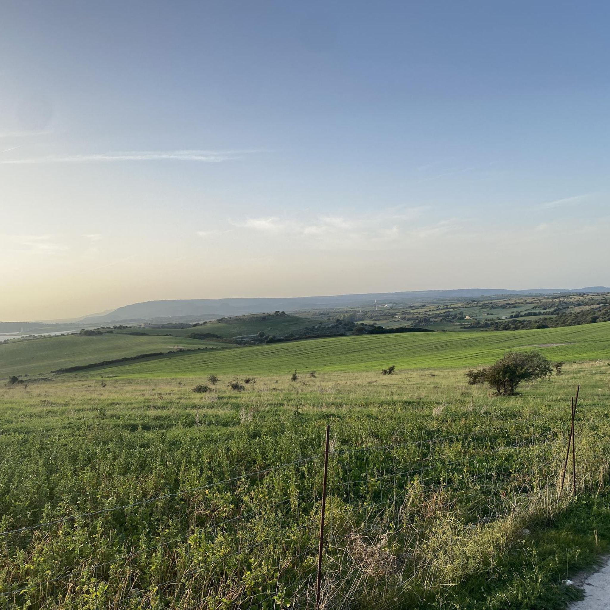
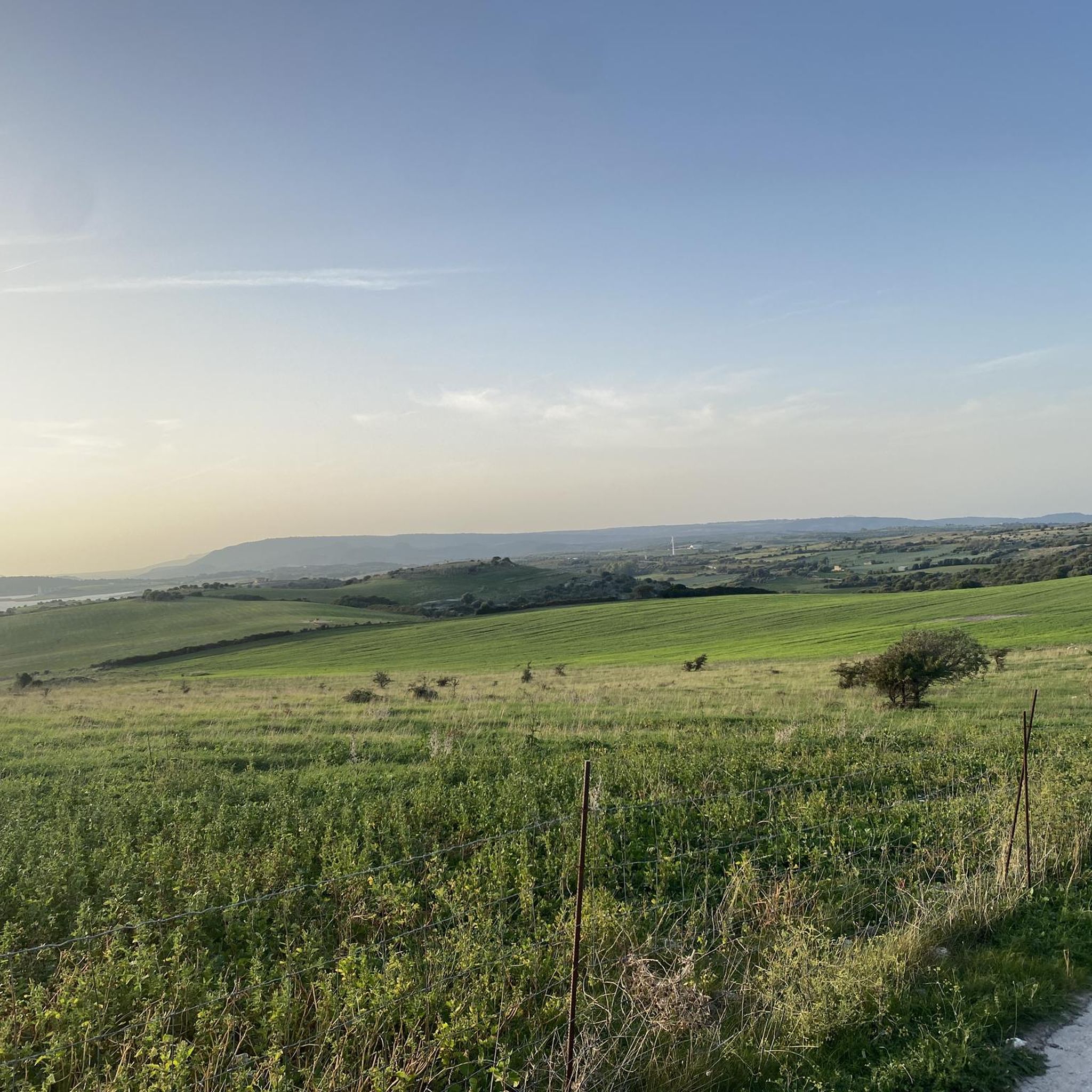
Beautiful views open up along the SP 28, from Ittiri down towards Usini.
0
0

I thought it was a side street, but it's a private street. Just don't drive
0
0
I turned around halfway. A flock of sheep with dogs and no fence in sight. So don't use the private road.
0
0

How to reach it from Sassari with a Monti Bianchinu-Tissi-Ossi-Scala di Giocca ring tour: https://www.komoot.it/tour/537826112
0
0

Secondary road with a panoramic view.
0
0
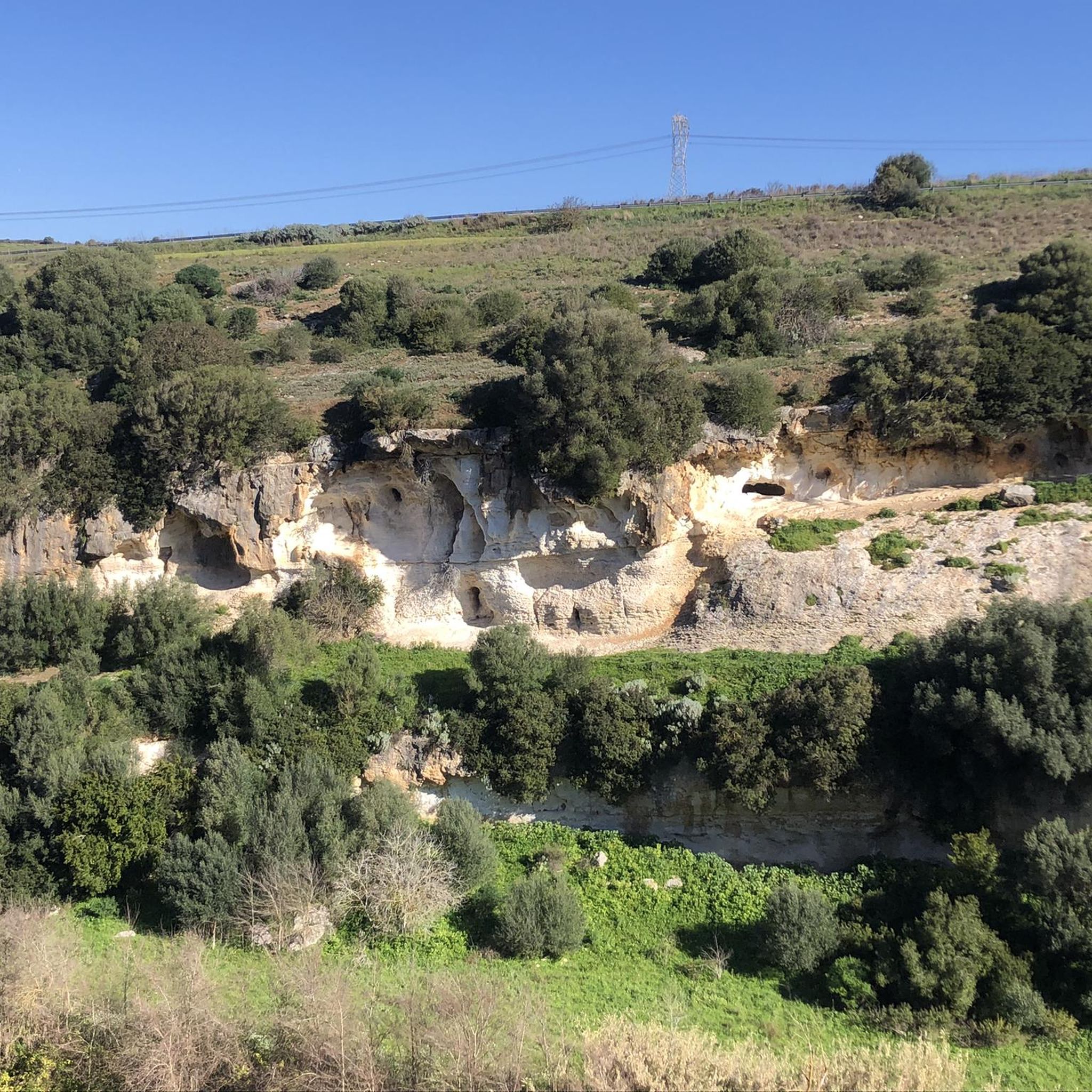
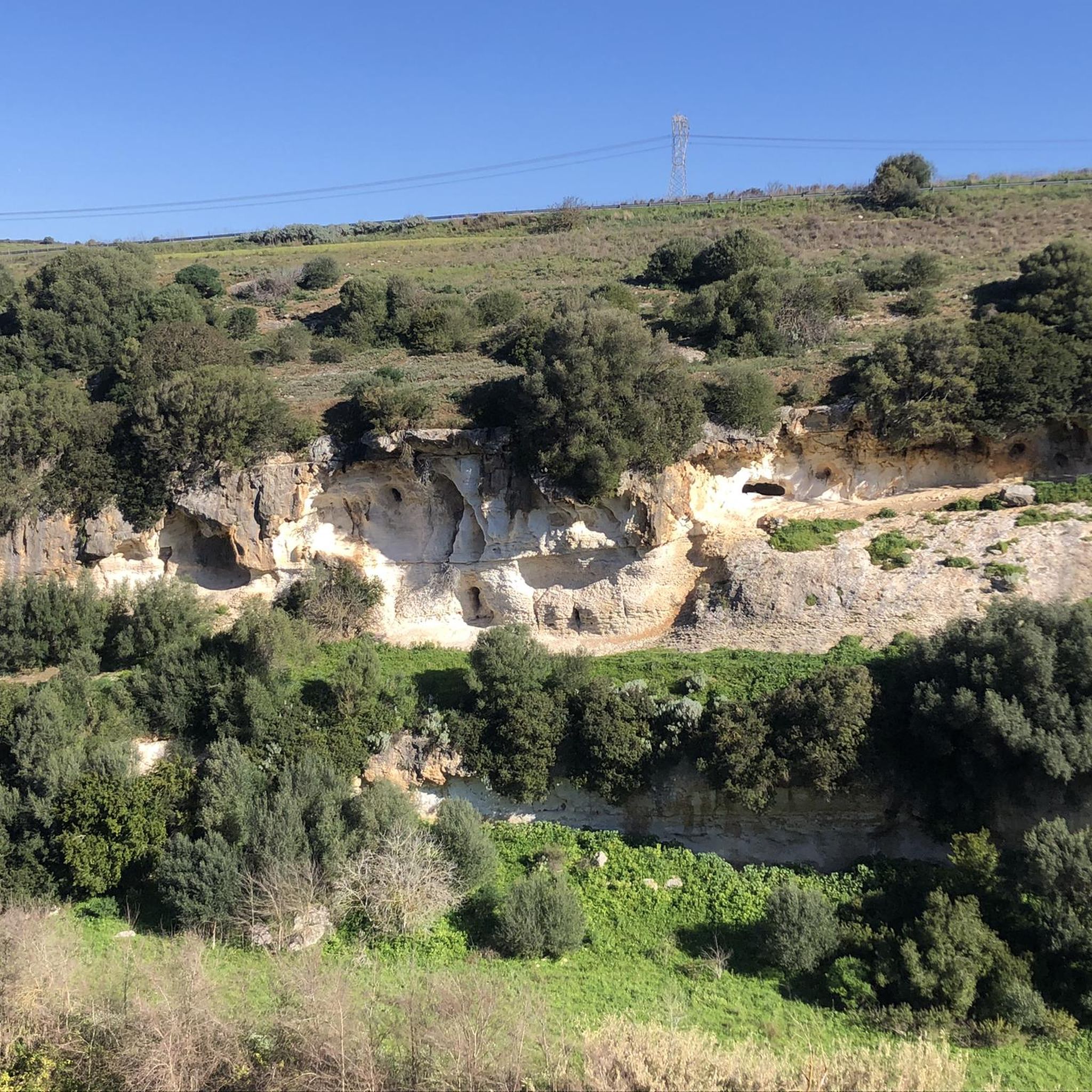
The hypogeum of Sas Puntas is one of the most important "architectural perspective" hypogea in Sardinia.
0
0

Here you can fill up your drinking water supplies and refresh yourself
0
0
Frequently Asked Questions
How many mountain bike trails are available in Uri?
Uri offers a diverse network of over 50 mountain bike trails. These routes cater to various skill levels, ranging from easy paths to challenging technical descents, ensuring there's something for every rider.
What kind of terrain can I expect on mountain bike trails in Uri?
The terrain in Uri is highly varied, characterized by deep valleys, towering Alpine peaks, and numerous alpine lakes. Trails often feature a mix of paved sections, forest tracks, and challenging singletrack, with sustained climbs and long descents. You'll encounter sheer cliffs, expansive rock fields, lush meadows, and even views of glaciers.
Are there mountain bike trails suitable for beginners or families in Uri?
Yes, while many trails offer significant challenges, Uri does have options suitable for less experienced riders or families. There are 4 easy trails and 42 moderate trails available. For a moderate experience, consider routes like Campagne di Sassari — giro ad anello, which offers a good balance of distance and elevation.
What are some challenging mountain bike trails for advanced riders in Uri?
For experienced mountain bikers seeking a challenge, Uri provides 8 difficult trails. Routes like the View of the Stagno (pond) – public drinking water point loop from Bancali, a 64.5 km moderate path, offer extensive riding through varied landscapes. More technical options often involve sustained climbs and demanding descents, sometimes requiring riders to push their bikes on steeper sections.
Are there any loop mountain bike trails in Uri?
Yes, many mountain bike trails in Uri are designed as loops, allowing you to start and finish at the same point. Examples include Water point – San Leonardo Church loop from Uri, a 54.2 km moderate trail, and Lago del Cuga, Ittiri e Putifigari — giro ad anello, a 38.4 km route.
What are the best times of year for mountain biking in Uri?
The best time for mountain biking in Uri is typically during the warmer months, from late spring to early autumn (May to October), when trails are clear of snow and weather conditions are more stable. During this period, you can fully enjoy the diverse landscapes and alpine views. Some higher altitude trails may remain snow-covered into early summer.
What natural attractions or scenic viewpoints can I find along mountain bike trails in Uri?
Uri's mountain bike trails often pass through stunning natural landscapes. You can expect views of Lake Lucerne, various alpine lakes like Arnisee, Lake Seeli, and Spilauersee, and dramatic features like the Schöllenen Gorge. The region's towering peaks and deep valleys provide numerous panoramic viewpoints throughout your ride.
What do other mountain bikers say about the trails in Uri?
The mountain bike trails in Uri are highly regarded by the komoot community, with an average rating of 4.4 stars from over 100 reviews. Riders frequently praise the varied terrain, the stunning Alpine scenery, and the challenging yet rewarding nature of the routes.
Are there any long-distance mountain bike routes or multi-day tours in Uri?
Uri is part of a larger network of trails that includes long-distance routes. For example, the challenging 69-mile BlenioBike - Gottardo Bike #65 is a point-to-point trail crossing the main watershed of the Alps from Andermatt to Biasca. Other routes like St.-Gotthard Fünf-Pässe Bike #85 and St.-Gotthard Vier-Pässe Bike #84 offer panoramic rides over multiple Alpine passes, suitable for multi-day adventures.
Is public transport accessible for reaching mountain bike trails in Uri?
Uri's mountainous topography means that public transport access can vary depending on the specific trail. However, Switzerland generally has an excellent public transport network, including trains and post buses, which can often get you close to trailheads or connect different sections of longer routes. It's advisable to check specific route details for public transport options.
Are there any specific considerations for mountain biking in Uri's high-alpine environment?
When mountain biking in Uri's high-alpine environment, it's crucial to be prepared for rapid weather changes, even in summer. Trails can be exposed, and some sections may require pushing your bike. Always carry appropriate gear, sufficient water, and consult local weather forecasts. Some trails may also be multi-use, so be mindful of hikers.
Most popular attractions around Uri

Get inspired with the komoot mobile app


Explore more
Browse the best MTB trails in other regions.
