The best road cycling routes around Urtei/Bultei
5.0
(4)
133
riders
32
rides
Road cycling routes around Urtei/Bultei traverse a landscape characterized by historic towns, rolling hills, and mountain passes. The region features varied terrain, including routes through cork oak forests and ascents towards scenic viewpoints in the Marghine chain mountains. Road cyclists can expect a mix of challenging climbs and picturesque loops connecting local communities.
Best road cycling routes around Urtei/Bultei
- The most popular road cycling route is Historic Center of Ozieri – San Nicolò loop from Otieri/Ozieri, a 27.3 miles…
Last updated: July 8, 2026
9
riders
44.0km
02:08
620m
620m
Moderate road ride. Good fitness required. Mostly well-paved surfaces and easy to ride.
8
riders
62.0km
03:11
1,080m
1,080m
Hard road ride. Very good fitness required. Mostly well-paved surfaces and easy to ride.

Sign up for free
9
riders
Hard road ride. Very good fitness required. Mostly well-paved surfaces and easy to ride.
6
riders
51.4km
02:53
1,130m
1,130m
Hard road ride. Very good fitness required. Mostly well-paved surfaces and easy to ride.
9
riders
104km
04:29
760m
760m
Moderate road ride. Good fitness required. Mostly well-paved surfaces and easy to ride.
Get access to more routes and recommendations from other explorers.
Sign up for free
Already have an account?
Our route recommendations are based on thousands of hikes, rides, and runs completed by other people on komoot.
Start today with a free account
Your next adventure awaits.
Login or Signup
Popular around Urtei/Bultei

Tips from the Community

This small town in northern Sardinia is known above all for the production of switchblade knives, composed of a steel blade and mouflon horn handle. The municipality is also among the highest in the area, as it is located at an altitude of 900 meters above sea level.
1
0

Located at 900 meters above sea level, Pattada is the 'highest' center in northern Sardinia. The town is known above all for the famous switchblade knives with steel blade and mouflon horn handle: the "resolza pattadesa".
1
0
The church was first built in the 15th century and then rebuilt in 1600. The majestic bell tower was built two centuries later and, at 46 meters high, is considered the tallest in Sardinia.
0
0
Ozieri is surrounded by lush vegetation, which surrounds the village like an amphitheater. The village is made up of a network of streets and stairways, which open onto countless small squares and courtyards, with beautiful views of the valley.
0
0

Church of Santa Cateria famous for its majestic 46-metre high neoclassical bell tower designed by the architect Salvatore Calvia Unali. It is the tallest bell tower in Sardinia!
1
0
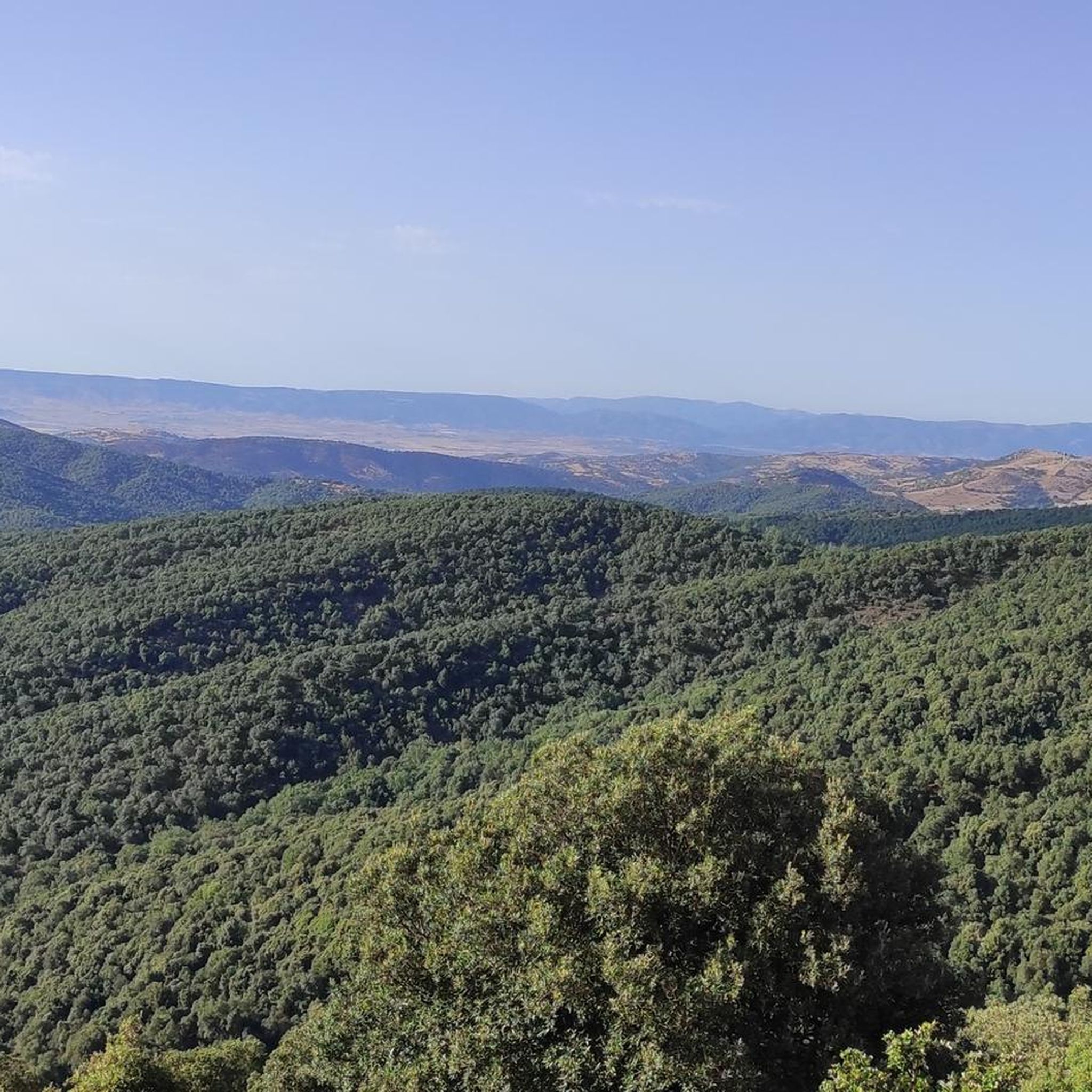
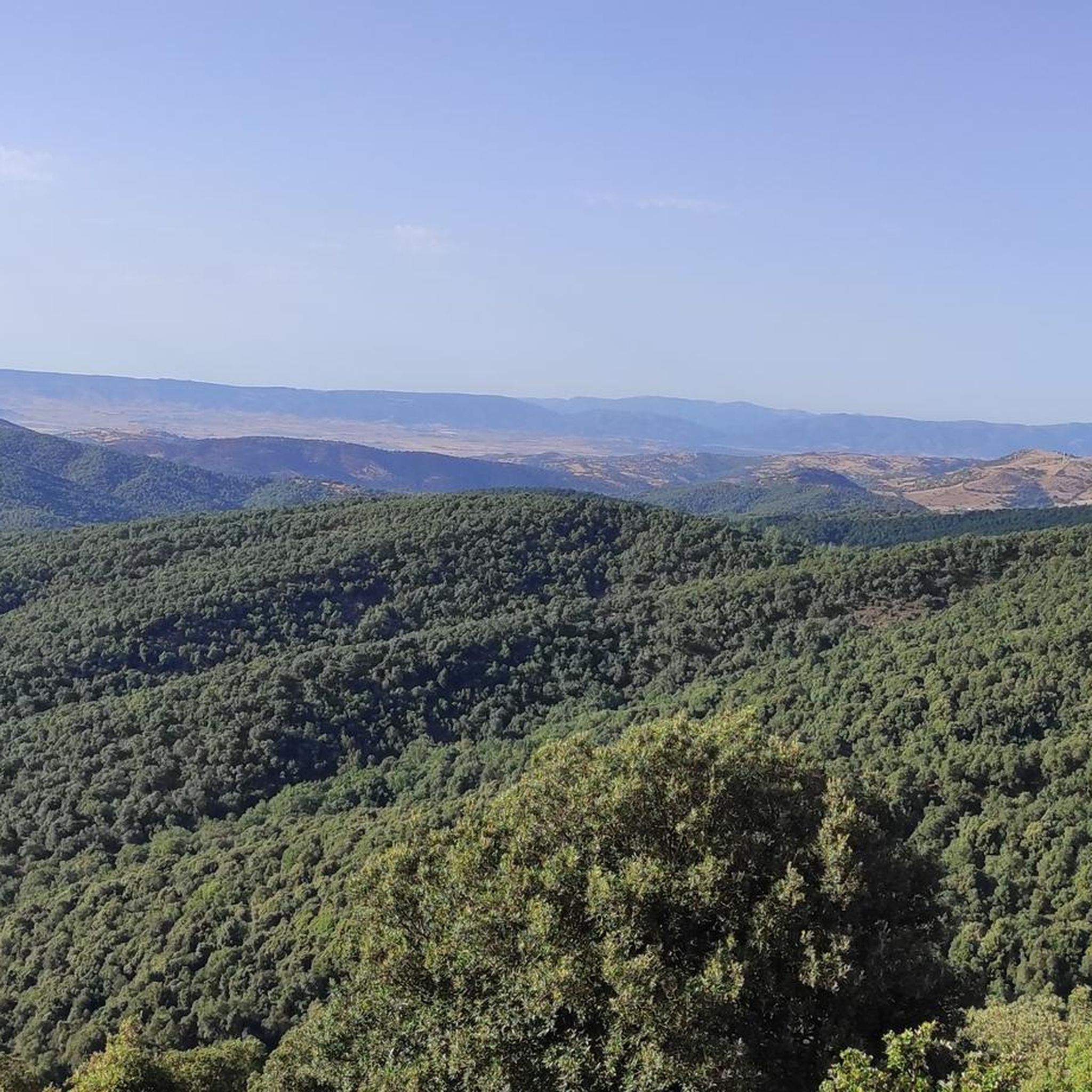
From this point you can admire the Marghine region. Below you is Bono and the Anela forest.
1
0
Beautiful up and down road that connects these two locations. There is also a source where you can get fresh water.
1
0

Own kitchen with regional products. Beautiful garden with rocks.
0
0
Frequently Asked Questions
How many road cycling routes are available in Urtei/Bultei?
There are over 20 road cycling routes around Urtei/Bultei, offering a diverse range of experiences for cyclists. These include 10 moderate routes and 14 difficult routes, ensuring options for various skill levels.
What are the typical difficulty levels for road cycling routes in Urtei/Bultei?
Road cycling routes in Urtei/Bultei are primarily categorized as moderate or difficult. You'll find 10 moderate routes, ideal for those looking for a good workout without extreme challenges, and 14 difficult routes, perfect for experienced riders seeking significant elevation gains and longer distances.
What kind of terrain can I expect on road cycling routes around Urtei/Bultei?
The region's road cycling routes traverse a varied landscape, characterized by historic towns, rolling hills, and mountain passes. You can expect routes that wind through cork oak forests and include ascents towards scenic viewpoints in the Marghine chain mountains.
What historical sites or landmarks can I see while road cycling in Urtei/Bultei?
Many routes in the area connect historic centers and offer glimpses of local landmarks. For instance, you might pass through the Historic Center of Ozieri or near Burgos Castle. The town of Pattada is also a notable settlement along several routes.
Are there challenging road cycling routes for advanced riders in Urtei/Bultei?
Yes, Urtei/Bultei is well-suited for advanced riders, with 14 difficult routes available. Routes like the Pattada – Historic Center of Ozieri loop from Otieri/Ozieri, which covers 38.5 miles with significant elevation, provide a substantial challenge. Another demanding option is the Passo Mariénnara (988 m) – Historic Center of Ozieri loop from Otieri/Ozieri.
Can I find road cycling routes that pass through cork oak forests?
Absolutely. The region is known for its cork oak forests. The Pattada – Road Through Cork Oak Forest loop from Patada/Pattada is a prime example, offering a 38.8-mile ride through this distinctive landscape.
What scenic viewpoints can I find along road cycling routes in Bultei?
Many routes offer expansive views, especially those ascending into the Marghine chain mountains. The Pattada – amazing view from Marghine chain mountains over Bono and surroundings loop from Passo Masiénnera is specifically designed to showcase breathtaking vistas over Bono and the surrounding areas.
What do other road cyclists enjoy most about road cycling in Urtei/Bultei?
The komoot community highly rates the road cycling experience in Urtei/Bultei, with an average score of 5.0 stars. Cyclists often praise the blend of cultural interest found in historic towns and the challenging yet rewarding ascents through varied terrain, including the scenic mountain passes and cork oak forests.
Are there any top-rated road cycling loops in Urtei/Bultei?
Yes, several loops are highly regarded. The Historic Center of Ozieri – San Nicolò loop from Otieri/Ozieri is a popular moderate route connecting historic centers. For a more challenging option, the Pattada – Historic Center of Ozieri loop from Otieri/Ozieri is a top favorite among local road cyclists.
What is the best season for road biking in Urtei/Bultei?
While specific data isn't provided, regions with rolling hills and mountain passes like Urtei/Bultei typically offer the best road cycling conditions in spring and autumn. These seasons provide milder temperatures, making climbs more enjoyable and reducing the risk of extreme heat or cold.
Are there family-friendly road cycling routes in Urtei/Bultei?
The routes in Urtei/Bultei are predominantly moderate to difficult, with no easy routes listed. This suggests that most routes might be more suitable for families with older, experienced cycling members rather than young children or beginners. It's advisable to check individual route profiles for elevation and distance to determine suitability.
Where can I find parking for road cycling routes near Urtei?
While specific parking locations aren't detailed for each route, starting points in towns like Otieri/Ozieri or Pattada, which are common for many loops, typically offer public parking options. It's recommended to check local town information or komoot's route details for specific parking suggestions near your chosen starting point.
Is public transport accessible for reaching road bike trails in Bultei?
Information on specific public transport links to trailheads in Bultei is not readily available. Given the rural nature of some areas, public transport might be limited. Cyclists often rely on personal vehicles to reach starting points for routes in this region.
Most popular routes around Urtei/Bultei
Most popular attractions around Urtei/Bultei

Get inspired with the komoot mobile app


Explore more
Browse the best Road cycling routes in other regions.
