The best road cycling routes around Montignoso
4.3
(665)
16,703
riders
121
rides
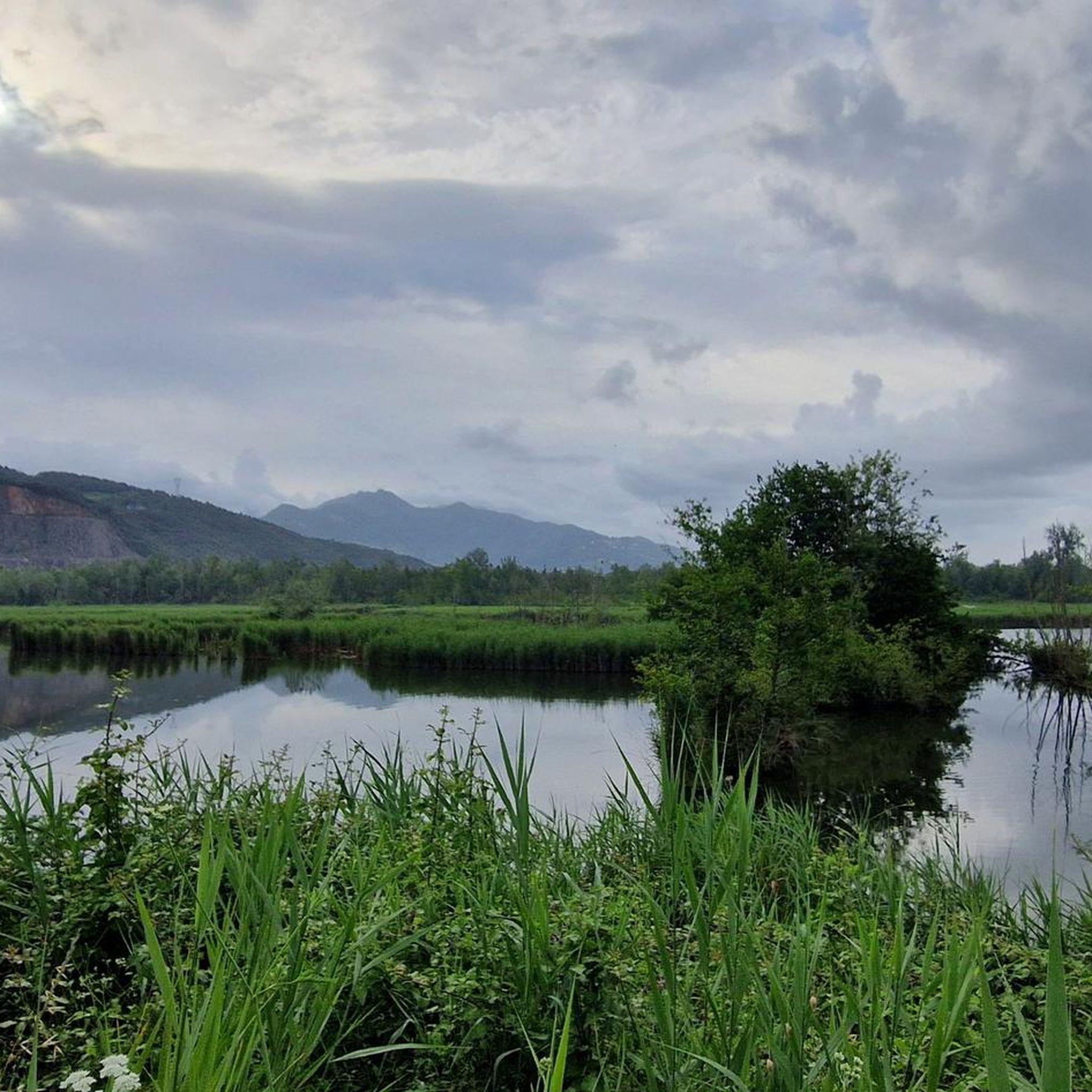
Road cycling routes around Montignoso are characterized by a diverse landscape, situated between the Apuan Alps and the Versilia coast in Tuscany, Italy. The region offers a mix of challenging mountain ascents, coastal rides, and routes through valleys and protected areas. Terrain varies from well-paved surfaces to unpaved segments on longer, more demanding routes. The area is part of the Apuan Alps Regional Park, featuring preserved natural beauty and notable features like Lago di Porta.
Best road cycling routes around…
Last updated: October 18, 2026
4.4
(21)
502
riders
67.1km
03:44
1,320m
1,320m
Hard road ride. Very good fitness required. Mostly well-paved surfaces and easy to ride.
5.0
(1)
283
riders
105km
06:12
2,580m
2,580m
Hard road ride. Very good fitness required. Mostly well-paved surfaces and easy to ride.

4.9
(7)
250
riders
130km
06:33
1,990m
1,990m
Hard road ride. Very good fitness required. Some segments of this route may be unpaved and difficult to ride.
4.6
(9)
261
riders
45.0km
02:24
640m
640m
Moderate road ride. Good fitness required. Mostly well-paved surfaces and easy to ride.
4.8
(8)
217
riders
57.0km
03:01
880m
880m
Moderate road ride. Good fitness required. Mostly well-paved surfaces and easy to ride.
Get access to more routes and recommendations from other explorers.
Already have an account?
Our route recommendations are based on thousands of hikes, rides, and runs completed by other people on komoot.
Start today with a free account
Your next adventure awaits.

Tips from the Community

The city is located at the extreme east of the Liguria region, a few kilometers from the border with Tuscany, in the center of a deep natural gulf to which it gives its name. The gulf, also known as the Gulf of Poets for its beauty, is encircled by a continuous chain of heights whose highest peaks, Monte Verrugoli (749 m above sea level), Monte Parodi (673 m above sea level), Monte Santa Croce (543 m above sea level), and Monte Viseggi (347 m above sea level), located on the western side of the inhabited center, overlook the city of La Spezia. The municipal territory of Spezia is part of the interregional Magra river basin authority, while a small portion of the municipal territory, consisting of the small village of Tramonti and the surrounding hill, falls within the Cinque Terre National Park.
0
0
The various hamlets and villages that make up the municipality of Pignone are located in the valleys of the Pignone stream (a right tributary of the Vara river) and its tributary Casale, both minor valleys of the middle and lower Val di Vara. The territory is part of the Montemarcello-Magra-Vara Regional Natural Park.
0
0
The Cinque Terre are ancient fishing villages located along the rugged Italian coast. Each of these villages is characterized by colorful houses and vineyards clinging to the steep terraces carved into the coast. The harbors are crowded with fishing boats, and in the typical trattorias, you can try seafood specialties, as well as the famous Ligurian condiment: pesto. The Sentiero Azzurro, a hiking trail that runs along the coast, connects the Cinque Terre and offers splendid sea views.
0
0
The castle of Lerici is a polygonal fortification that stands in a dominant position on the rocky promontory of the Lerici cove, in the province of La Spezia.
0
0
The Passo del Termine (located at about 548 meters above sea level) is a very famous panoramic point and pass along the Cinque Terre coastal road, famous for offering a spectacular, high-up view over Monterosso al Mare and the surrounding gulf.
0
0
The Cinque Terre are ancient fishing villages located along the rugged Italian coast. Each of these villages is characterized by colorful houses and vineyards clinging to the steep terraces carved into the coast. The harbors are crowded with fishing boats, and in the typical trattorias, you can try seafood specialties, as well as the famous Ligurian condiment: pesto. The Sentiero Azzurro, a hiking trail that runs along the coast, connects the Cinque Terre and offers splendid sea views.
0
0

The tour is not for everyone. The climb from Caniparola is very tough, at the beginning it starts immediately at 11%
1
0

Climbing Monte Corchia starting from Passo Croce (in the municipality of Stazzema) is one of the most scenic and exciting hikes in the Apuan Alps. The complete loop takes about 5-6 hours and covers an elevation gain of about 550-600 meters (reaching 1678 meters in altitude), and it is classified as EE (Expert Hikers) due to some exposed and steep sections. Even with a MTB it is a beautiful scenic route, you follow the dirt road under the Corchia pinnacles up to a fork. To the left, you descend towards Fociomboli, Puntato, the ghost town of Col di Favilla, then to the Gufonaglia quarry where you need to pay close attention due to the very steep and stony road. Straight ahead from the fork, you reach the Del Freo refuge. Rifugio Giuseppe Del Freo - Pietrapana is one of the main alpine landmarks of the Apuan Alps, located at 1,180 meters above sea level in the grassy basin of Foce di Mosceta.
0
0
Frequently Asked Questions
How many road cycling routes are available around Montignoso?
There are over 120 road cycling routes around Montignoso, catering to various skill levels. This includes 32 easy routes, 67 moderate routes, and 29 difficult routes, ensuring options for everyone from beginners to advanced cyclists.
What kind of terrain can I expect on road cycling routes in Montignoso?
Montignoso offers a highly diverse landscape for road cycling. You can expect a mix of challenging mountain ascents in the Apuan Alps, scenic coastal rides along the Versilia seafront, and routes through valleys and protected areas. Surfaces are mostly well-paved, but some longer, more demanding routes might include unpaved segments.
What is the best season for road cycling in Montignoso?
The region's climate generally allows for cycling through much of the year. Spring and autumn offer pleasant temperatures for exploring both coastal and mountain routes. Summer is ideal for coastal rides, while mountain ascents might be more comfortable in cooler months. Always check local weather conditions before heading out.
Are there road cycling routes suitable for beginners or families in Montignoso?
Yes, Montignoso offers several easy routes perfect for beginners or families. An example is the Sunset Beach – Viareggio Beach loop from Massa Centro, an easy 46.3 km trail that offers pleasant coastal views with minimal elevation gain.
Are there options for challenging mountain ascents for experienced cyclists?
Absolutely. Montignoso, situated at the foot of the Apuan Alps, provides demanding climbs for experienced cyclists. A notable difficult route is the Antona Village – Passo del Vestito loop from Massa Centro, a 104.8 km path featuring significant elevation gain through the Apuan Alps, including the scenic Passo del Vestito.
What historical or natural attractions can I see along the road cycling routes?
Many routes pass by significant landmarks. You might encounter ancient castles like Aghinolfi Castle, offering panoramic views, or picturesque hamlets such as Antona. Natural features include the preserved beauty of the Apuan Alps Regional Park and the tranquil Lago di Porta Nature Reserve, a protected wetland.
Are there any notable natural features to look out for?
Yes, the region is rich in natural beauty. Cyclists can enjoy views of the Apuan Alps, including peaks like Mount Sagro and Summit of Monte Corchia. The Lago di Porta Nature Reserve is also a significant natural oasis with diverse bird species.
Are there circular road cycling routes available?
Yes, many of the routes around Montignoso are designed as loops, allowing you to start and end at the same point. Examples include the Cansoli Valley – Seravezza (Lucca) loop from Massa Centro, which offers varied terrain, and the coastal Sunset Beach – Viareggio Beach loop.
What do other road cyclists say about the routes in Montignoso?
The road cycling routes in Montignoso are highly rated by the komoot community, with an average score of 4.6 stars from nearly 500 reviews. Cyclists often praise the diverse landscapes, from challenging mountain passes to beautiful coastal stretches, and the well-maintained paths that cater to various fitness levels.
Are there specific parking facilities for road cyclists in Montignoso?
While specific dedicated cycling parking facilities are not widely advertised, many starting points for routes, particularly in towns like Massa Centro, offer general parking options. It's advisable to check local parking availability for your chosen starting location.
Where can I rent a bike in Montignoso?
Montignoso and the wider Versilia area have several bike rental shops, especially in larger towns nearby. These shops often offer a range of road bikes suitable for exploring the region's diverse terrain. It's recommended to search online for 'bike hire Montignoso' or 'noleggio bici Montignoso' for current options.
Are there any protected areas I should be aware of while cycling?
Yes, parts of the region fall within the Apuan Alps Regional Park, ensuring preserved natural beauty. Additionally, the Lago di Porta Nature Reserve is a protected wetland. When cycling through these areas, please respect local regulations, stay on marked paths, and help preserve the natural environment.
Most popular routes around Montignoso
Most popular attractions around Montignoso

Get inspired with the komoot mobile app


Explore more
Browse the best Road cycling routes in other regions.
