The best walks and hikes around Stadtallendorf
4.6
(6535)
20,580
hikers
207
hikes
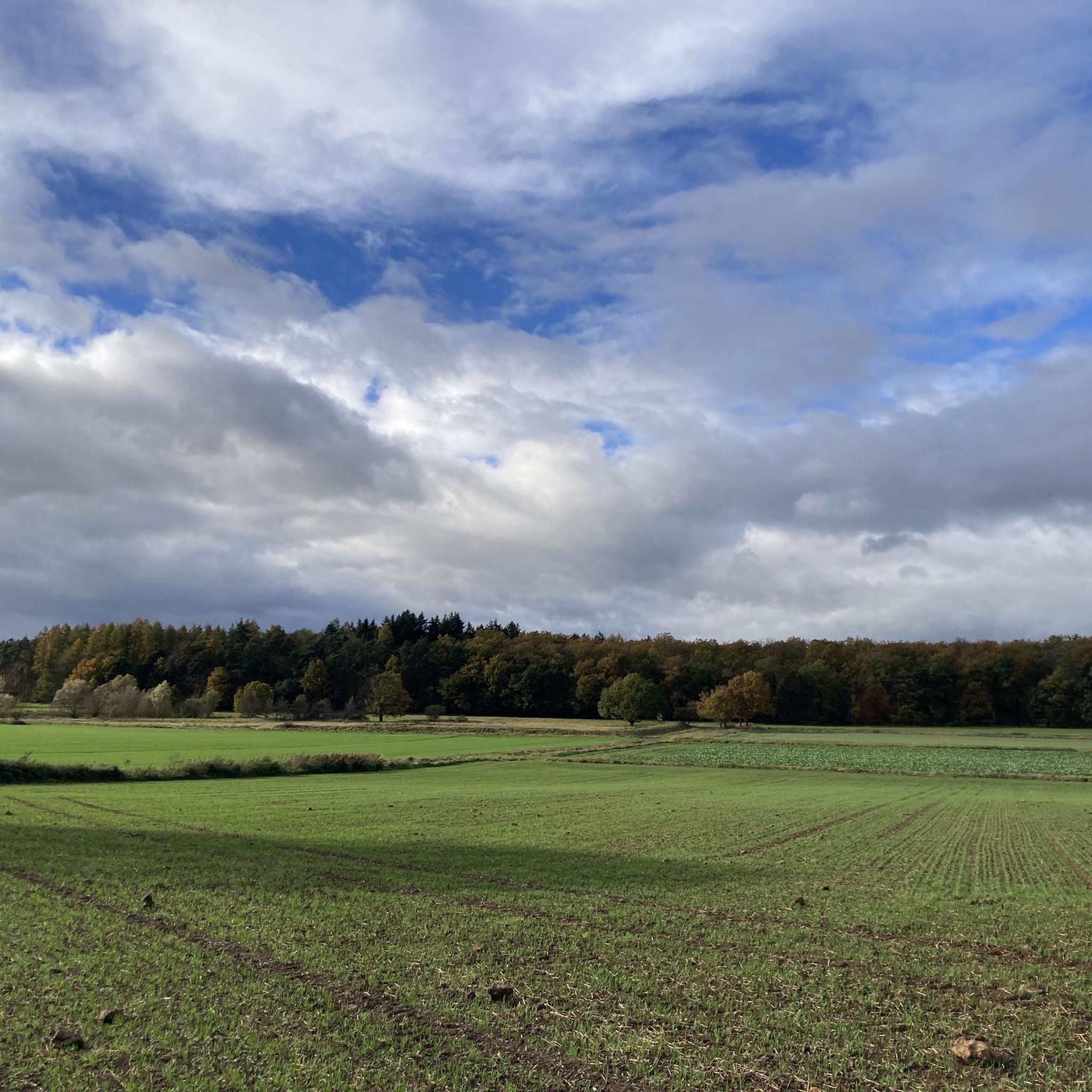
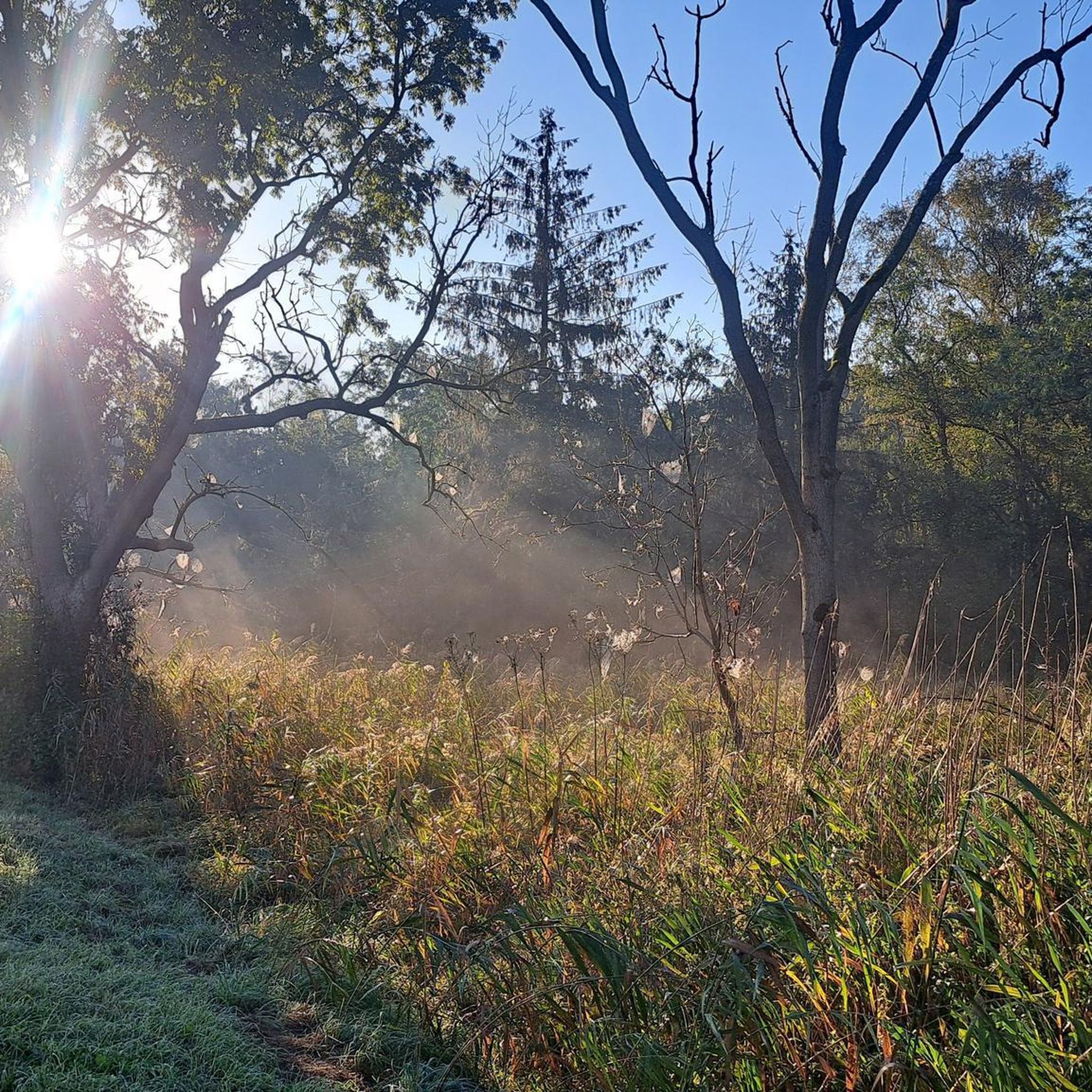
Hiking around Stadtallendorf offers diverse landscapes characterized by hilly terrain and extensive forests, situated on the edge of the Lahn-Dill-Bergland nature park. The region features a network of trails winding through dense woodlands, open meadows, and along waterways, providing varied natural elements for outdoor activities. Its geographical position contributes to a varied terrain suitable for different hiking preferences.
Best hiking trails around Stadtallendorf
- The most popular hiking route is Heidehäuschen Shelter – Hatzbach Witches' Dance Ground loop from Hatzbach,…
Last updated: October 7, 2026
4.7
(22)
72
hikers
7.49km
02:02
110m
110m
Moderate hike. Good fitness required. Easily-accessible paths. Suitable for all skill levels.
4.8
(5)
52
hikers
28.7km
07:41
340m
340m
Hard hike. Very good fitness required. Easily-accessible paths. Suitable for all skill levels.

4.2
(9)
26
hikers
Moderate hike. Good fitness required. Easily-accessible paths. Suitable for all skill levels.
3.9
(59)
40
hikers
Moderate hike. Good fitness required. Easily-accessible paths. Suitable for all skill levels.
4.7
(26)
35
hikers
Easy hike. Great for any fitness level. Easily-accessible paths. Suitable for all skill levels.
Get access to more routes and recommendations from other explorers.
Already have an account?
Our route recommendations are based on thousands of hikes, rides, and runs completed by other people on komoot.
Start today with a free account
Your next adventure awaits.
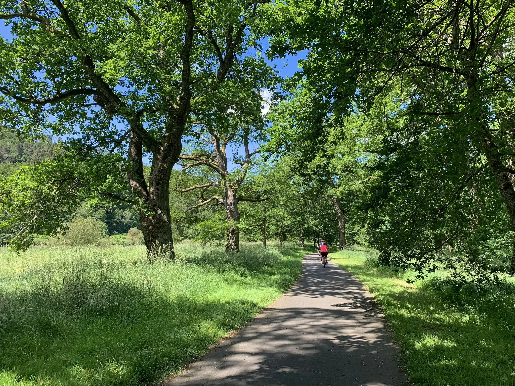
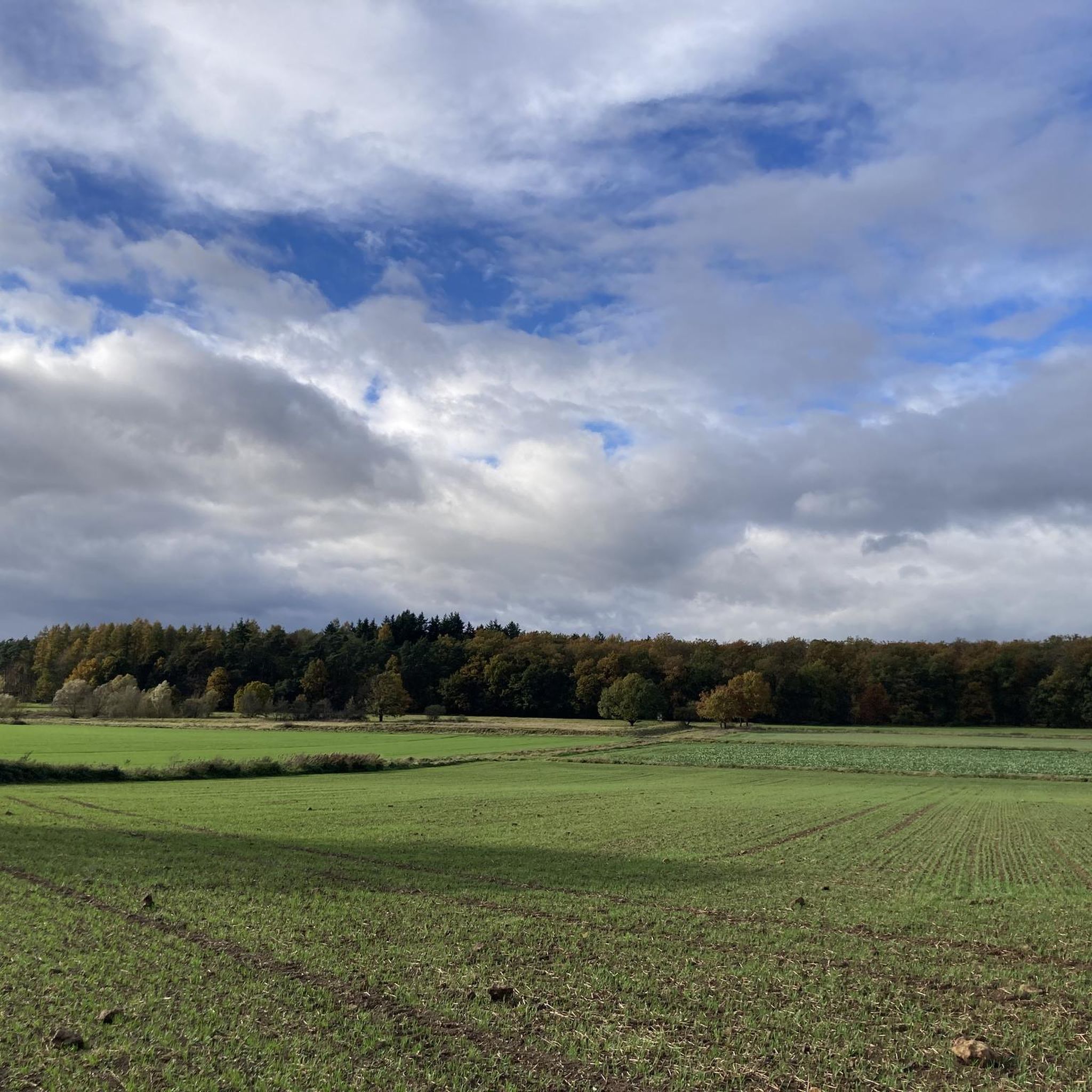
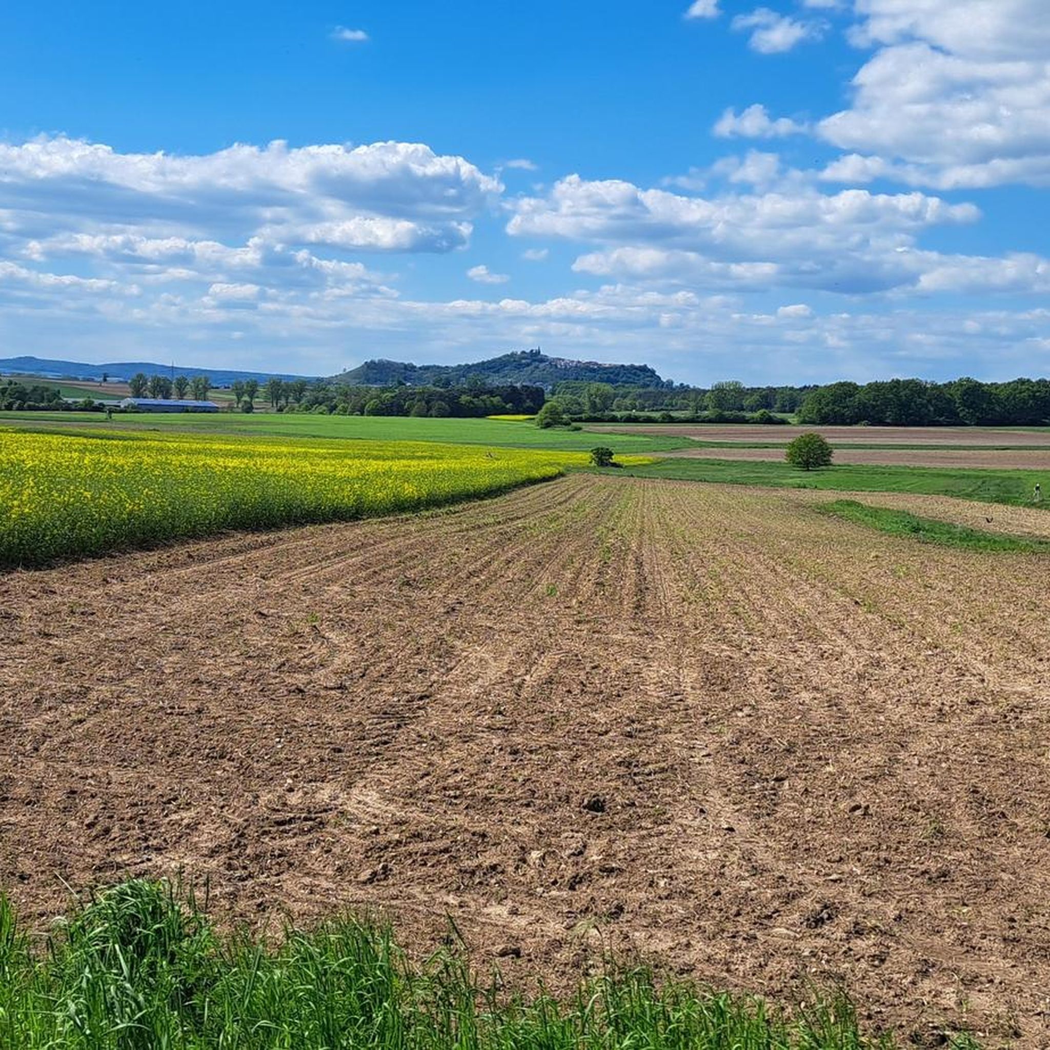
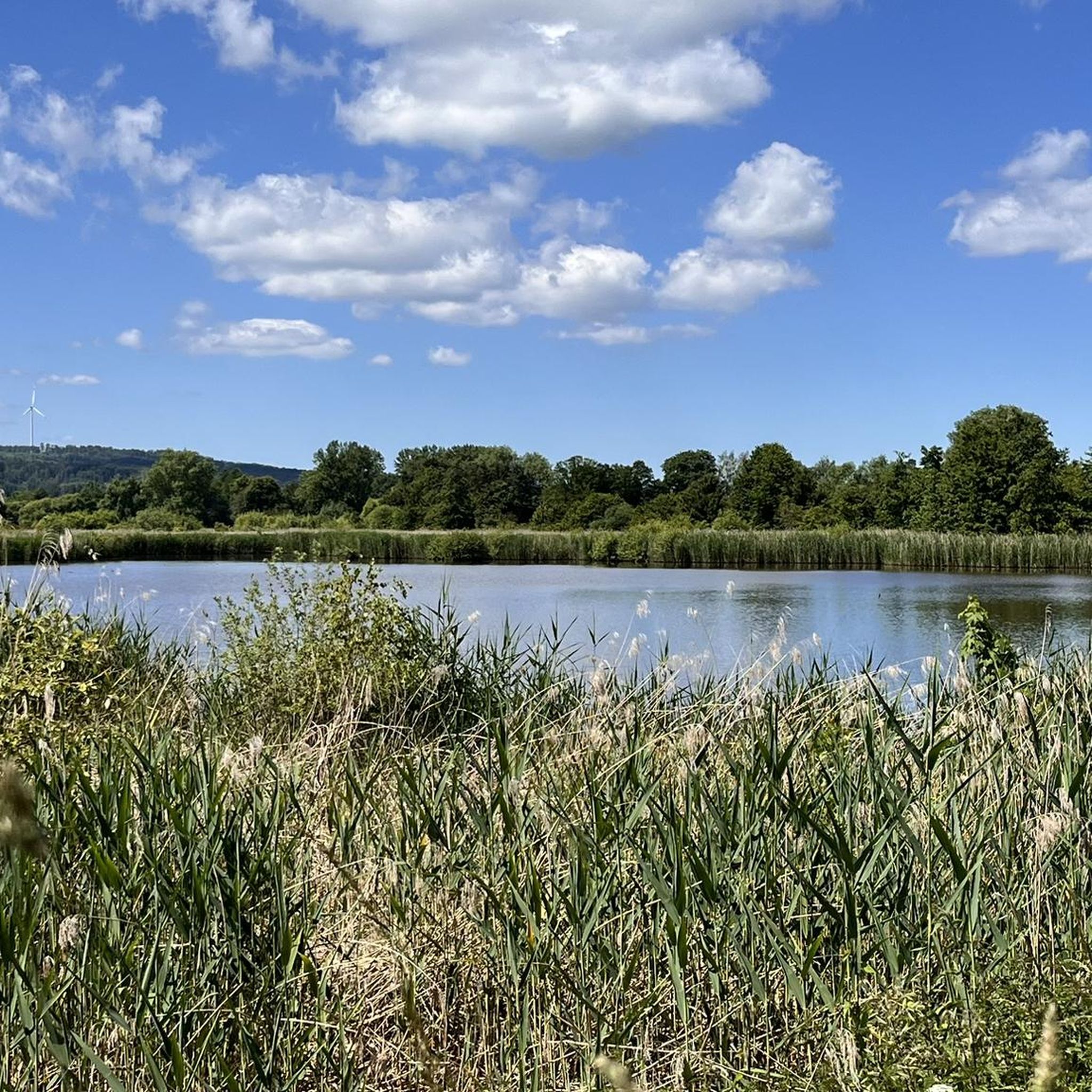
Other adventures around Stadtallendorf

Tips from the Community

Numerous parking options allow or facilitate starting a hike from here and using the place as a starting point.
3
0

Very nice: A well-maintained hiking hut with a hiking book, there are seats inside as well as outside in the sun and in the shade.
1
0

A very nice and comfortable cabin. It even comes with a roll of toilet paper.
0
0

There is good parking available on the path between the two sports fields.
1
0

A very nice hut, located directly on the panoramic trail. It's great that there is also a hiking guide.
3
0
Very beautiful old church.
6
0
The castle gate, built in the 14th century, is the last of the four main gates of the city fortifications. From here you can go straight to the panoramic path and the castle hill.
6
0

Dedicated in gratitude to the Lord for protecting the village from war damage.
4
0
Frequently Asked Questions
How many hiking trails are available around Stadtallendorf?
Based on komoot data, there are over 200 hiking routes around Stadtallendorf, catering to various preferences and fitness levels. You'll find a wide range of options, from easy strolls to more challenging routes with greater elevation gain.
What kind of terrain can I expect on hikes around Stadtallendorf?
The region is characterized by diverse landscapes, including rolling hills and extensive forests, situated on the edge of the Lahn-Dill-Bergland nature park. You can expect varied terrain with dense woodlands, open meadows, and picturesque trails along waterways like the Ohm River.
Are there any family-friendly hiking trails in Stadtallendorf?
Yes, Stadtallendorf offers several family-friendly options. The Bench With a View of Erksdorf – Jewish Cemetery Stadtallendorf loop from Stadtallendorf is an easy 7.4 km path suitable for most fitness levels. The Village Nature Educational Trail Speckswinkel also provides an engaging experience for children, guiding them through nature, landscapes, and local wildlife.
Are there dog-friendly hiking routes in the area?
Many trails around Stadtallendorf are welcoming to dogs, allowing you to enjoy the natural beauty with your canine companion. The diverse landscapes of forests and open meadows provide ample space for walks. Always remember to keep your dog on a leash where required and clean up after them.
What natural features or viewpoints can I discover while hiking?
You'll find a variety of natural highlights. The Black Sea Pond offers a tranquil spot with a barbecue hut, and the Goldborn Natural Spring is known for its clean water. The Sohlgrund nature reserve, traversed by the Erksdorf Circular Hiking Trail, showcases protected natural beauty. For panoramic views, consider routes that ascend Wetzstein (358 meters) or the basalt mountain Amöneburg.
Are there any circular hiking routes available?
Absolutely! Many routes around Stadtallendorf are designed as loops. A popular moderate option is the Heidehäuschen Shelter – Hatzbach Witches' Dance Ground loop from Hatzbach, which is 13.7 km long. Another great choice is the Georgsteich – Heidehäuschen Shelter loop from Speckswinkler Hutewald, a 7.5 km trail through woodlands and open areas.
What historical sites or landmarks can I find along the trails?
The region blends natural beauty with historical interest. The Hatzbach Legend Route features twelve legend stations and historic mills. The Stadtallendorf Loop includes remnants of World War II-era structures with informational plaques. You can also find the Hunburg Ruins near some trails, offering a glimpse into the past.
Are there any trails that feature water bodies or lakes?
Yes, several trails incorporate water features. The Ohm River offers picturesque paths along its banks. The Niederwaldsee reservoir is a popular spot for nature lovers, and the tranquil Black Sea Pond is a notable highlight. You can also discover the Schächerbach Stepping Stones Crossing, a fun natural feature for crossing the stream.
What do other hikers enjoy most about hiking in Stadtallendorf?
The area is highly rated by the komoot community, with an average score of 4.5 stars from over 600 reviews. Hikers often praise the diverse landscapes, including the quiet woodlands and expansive meadows, as well as the well-maintained and varied network of trails suitable for different ability levels.
When is the best time of year to go hiking in Stadtallendorf?
The spring and summer months are particularly vibrant for hiking in Stadtallendorf, as the expansive meadows burst with wildflowers. The extensive forests also offer pleasant shade during warmer days. Autumn provides beautiful foliage, while winter can offer serene, snow-covered landscapes for those prepared for colder conditions.
Are there any longer-distance hiking paths that pass through Stadtallendorf?
Yes, a section of the Elisabeth Path (Elisabethpfad), a longer 200 km route connecting Eisenach and Marburg, runs through Stadtallendorf. This path offers an opportunity for more extensive hikes, blending nature, history, and tranquil landscapes.
Most popular routes around Stadtallendorf
Most popular attractions around Stadtallendorf

Get inspired with the komoot mobile app


Explore more
Browse the best Hikes in other regions.
