The best cycling routes around Ratschings - Racines
4.7
(184)
3,767
riders
59
rides
Touring cycling around Ratschings - Racines offers diverse landscapes within the Wipptal Valley of South Tyrol, Italy. The region features a compelling blend of alpine and forest environments, characterized by idyllic valleys, lush green slopes, and mountain pastures. Cyclists can navigate varied terrain, from challenging alpine passes to routes through dense forests.
Best touring cycling routes around Ratschings - Racines
- The most popular touring cycling route is View of Jaufen Pass – View of Jaufen Pass loop from Ratschings - Racines, a 35.4 miles (57.0 km) trail that takes 4 hours 57 minutes to complete. This difficult route features significant ascents over an alpine pass.
- Another top favourite among local touring cyclists is View of the Alps loop from Bichl - Colle, a difficult 13.7 miles (22.0 km) path. This route offers expansive alpine views across varied terrain.
- Local touring cyclists also love the View of the Alps – View of Jaufen Pass loop from Gasteig - Casateia, a 17.3 miles (27.9 km) trail leading through alpine vistas and a section of Jaufen Pass, often completed in about 2 hours 25 minutes.
- Touring cycling around Ratschings - Racines is defined by alpine passes, idyllic valleys, and dense forests. The network offers options for easy, moderate, and difficult routes, catering to various ability levels.
- The routes in Ratschings - Racines are highly rated by the komoot community with an average score of 4.6 stars from nearly 200 reviews. More than 4,800 touring cyclists have used komoot to explore Ratschings - Racines's varied terrain.
Last updated: July 8, 2026
4.5
(4)
730
riders
50.7km
04:25
1,880m
1,880m
Hard bike ride. Very good fitness required. Mostly paved surfaces. Suitable for all skill levels.
4.5
(24)
263
riders
Hard bike ride. Very good fitness required. You may need to push your bike for some segments of this route.

Sign up for free
4.9
(7)
279
riders
54.1km
04:27
1,660m
1,660m
Hard bike ride. Very good fitness required. Mostly paved surfaces. Suitable for all skill levels.
4.8
(15)
424
riders
39.9km
03:18
1,290m
1,290m
Hard bike ride. Very good fitness required. Mostly paved surfaces. Suitable for all skill levels.
4.8
(11)
116
riders
Hard bike ride. Very good fitness required. Mostly paved surfaces. Suitable for all skill levels.
Get access to more routes and recommendations from other explorers.
Sign up for free
Already have an account?
Our route recommendations are based on thousands of hikes, rides, and runs completed by other people on komoot.
Start today with a free account
Your next adventure awaits.
Login or Signup
Popular around Ratschings - Racines
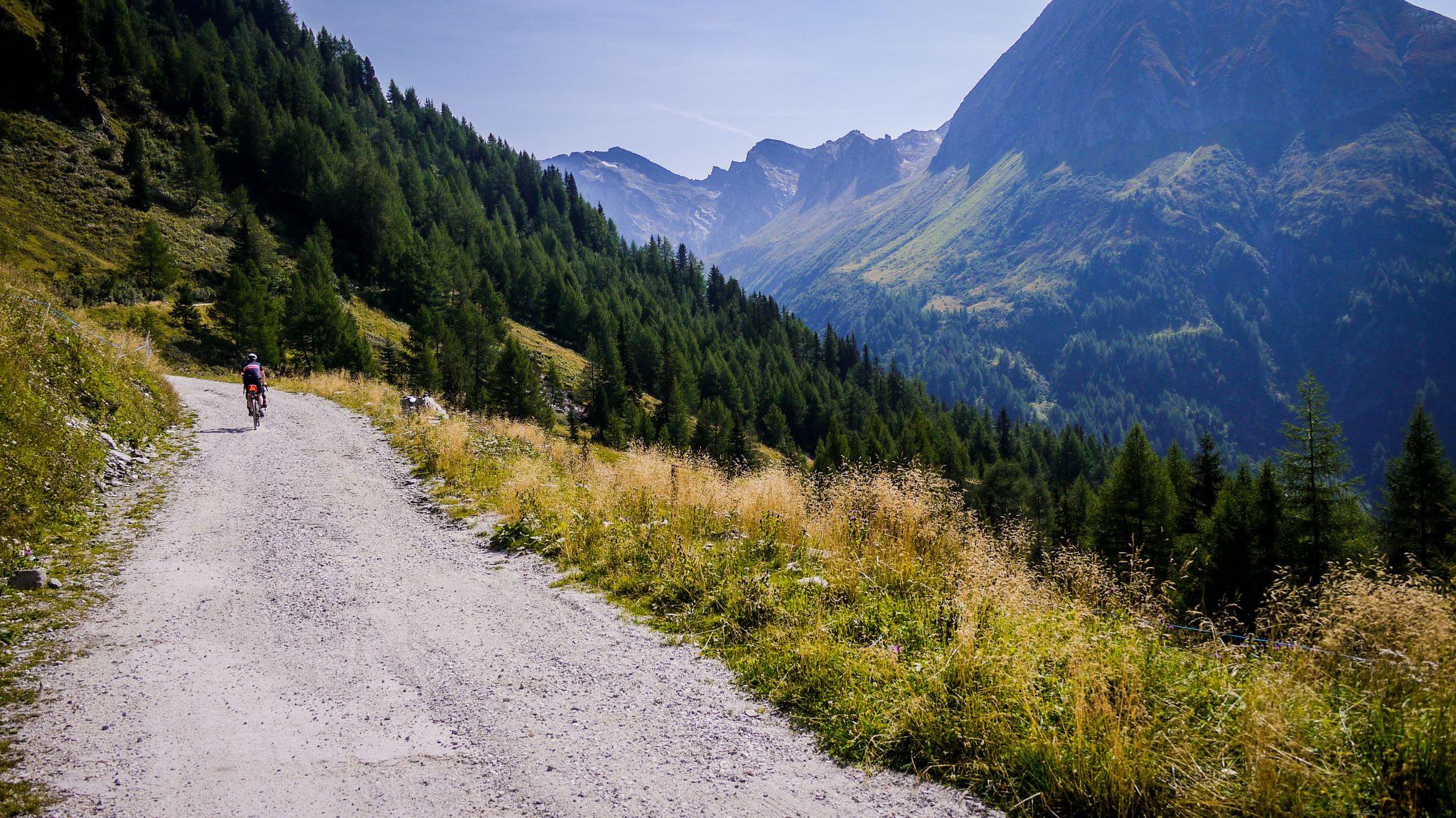
Off-road through South Tyrol – bikepacking between Austria and Italy
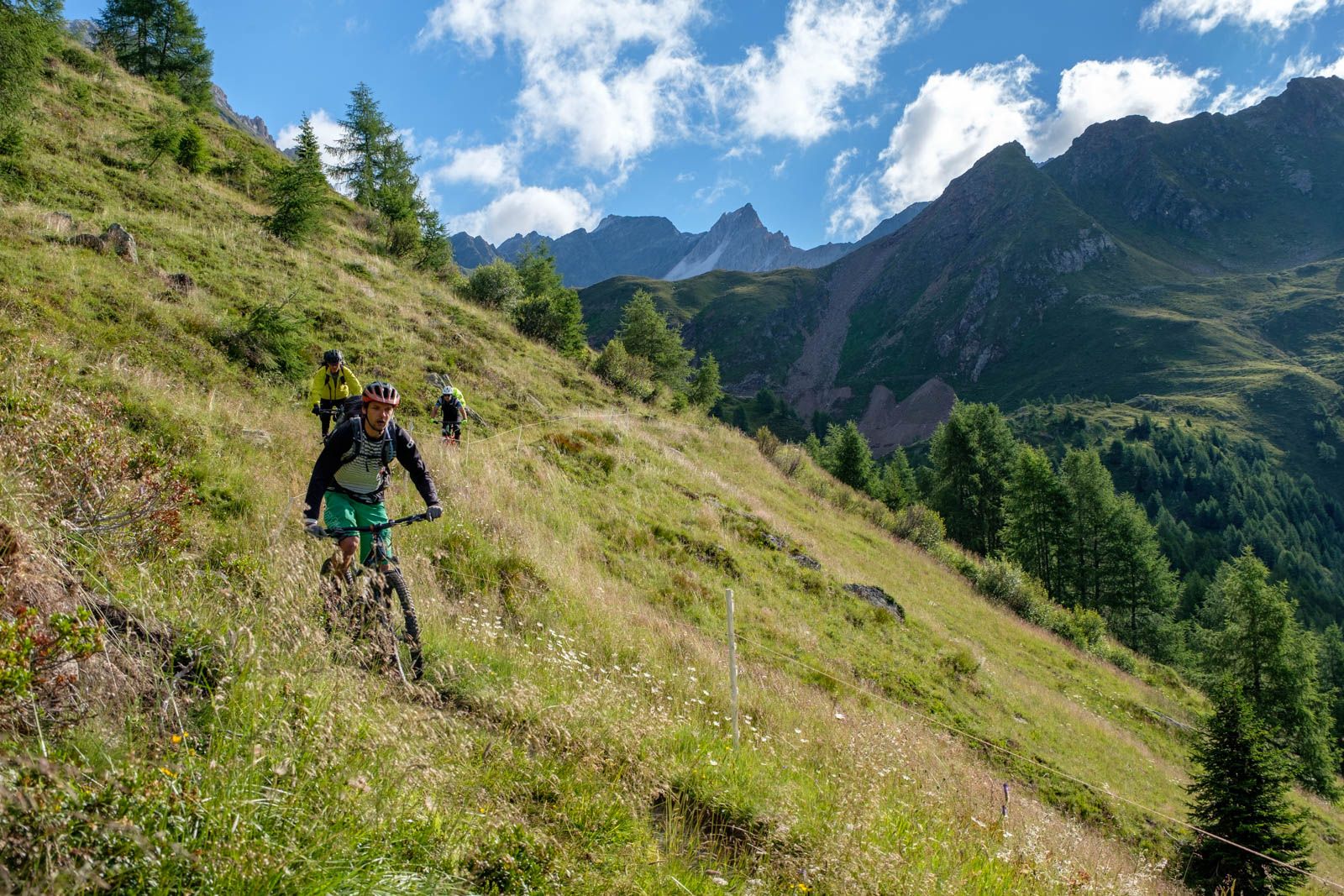
Ötzi Transalp – bikepacking in the Stubai and Ötztal Alps
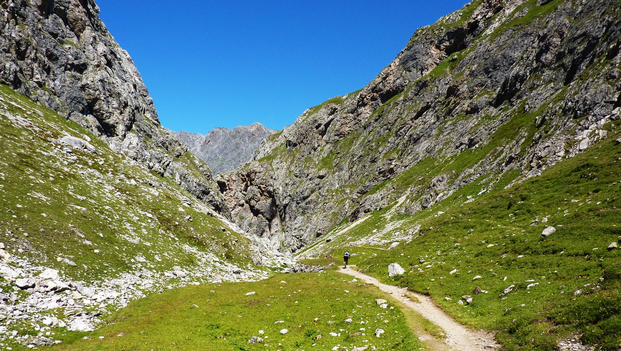
Alpine passes — 10 classics for you and your bike
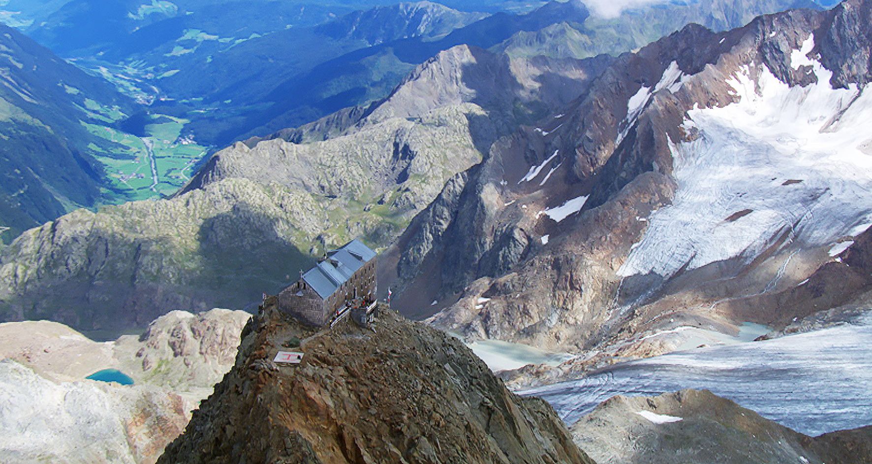
Sleep above 3000 meters
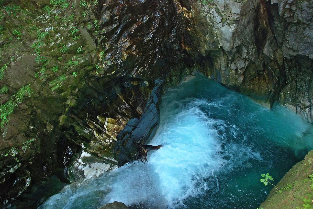
Die schönsten Klammen Tirols
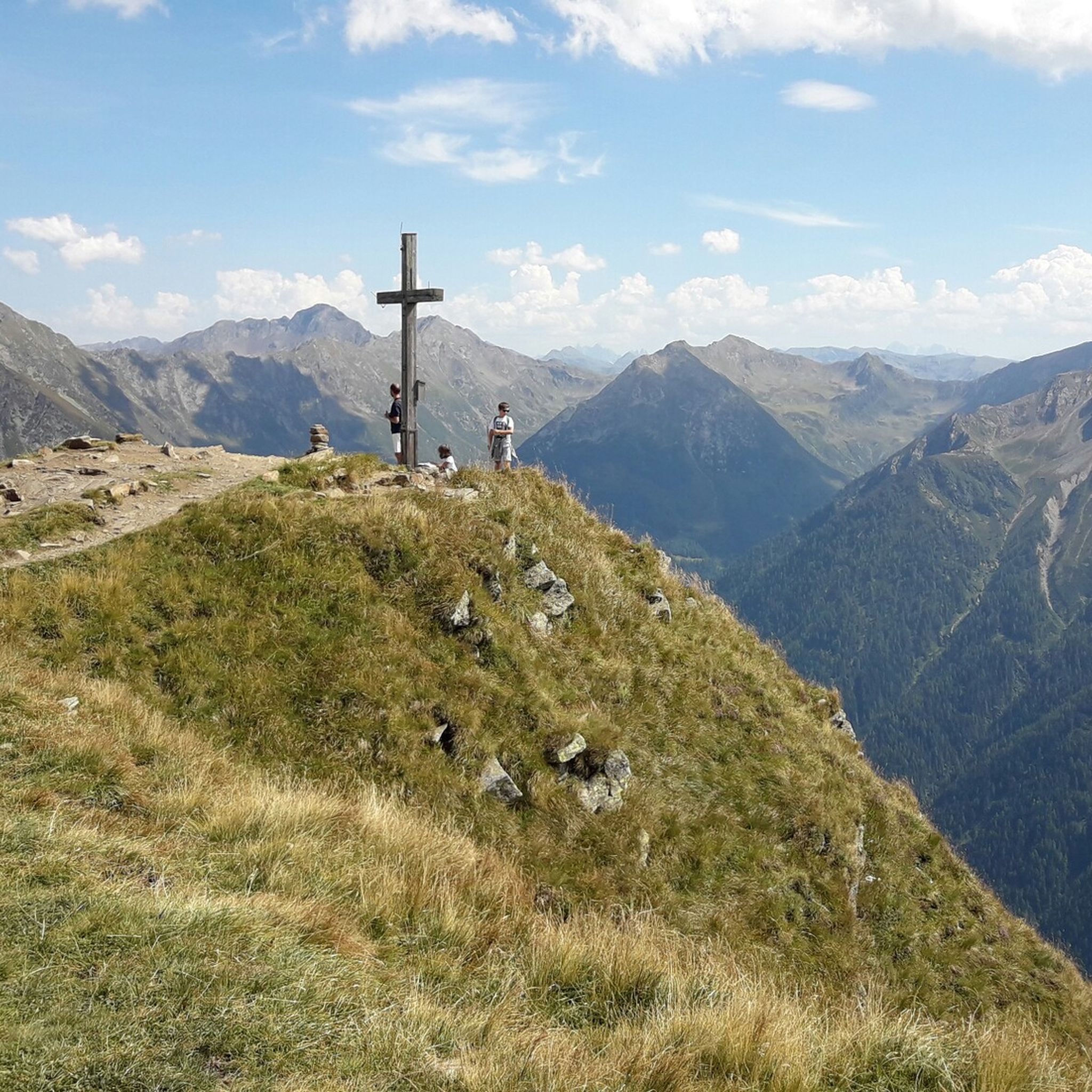
Hiking around Ratschings - Racines
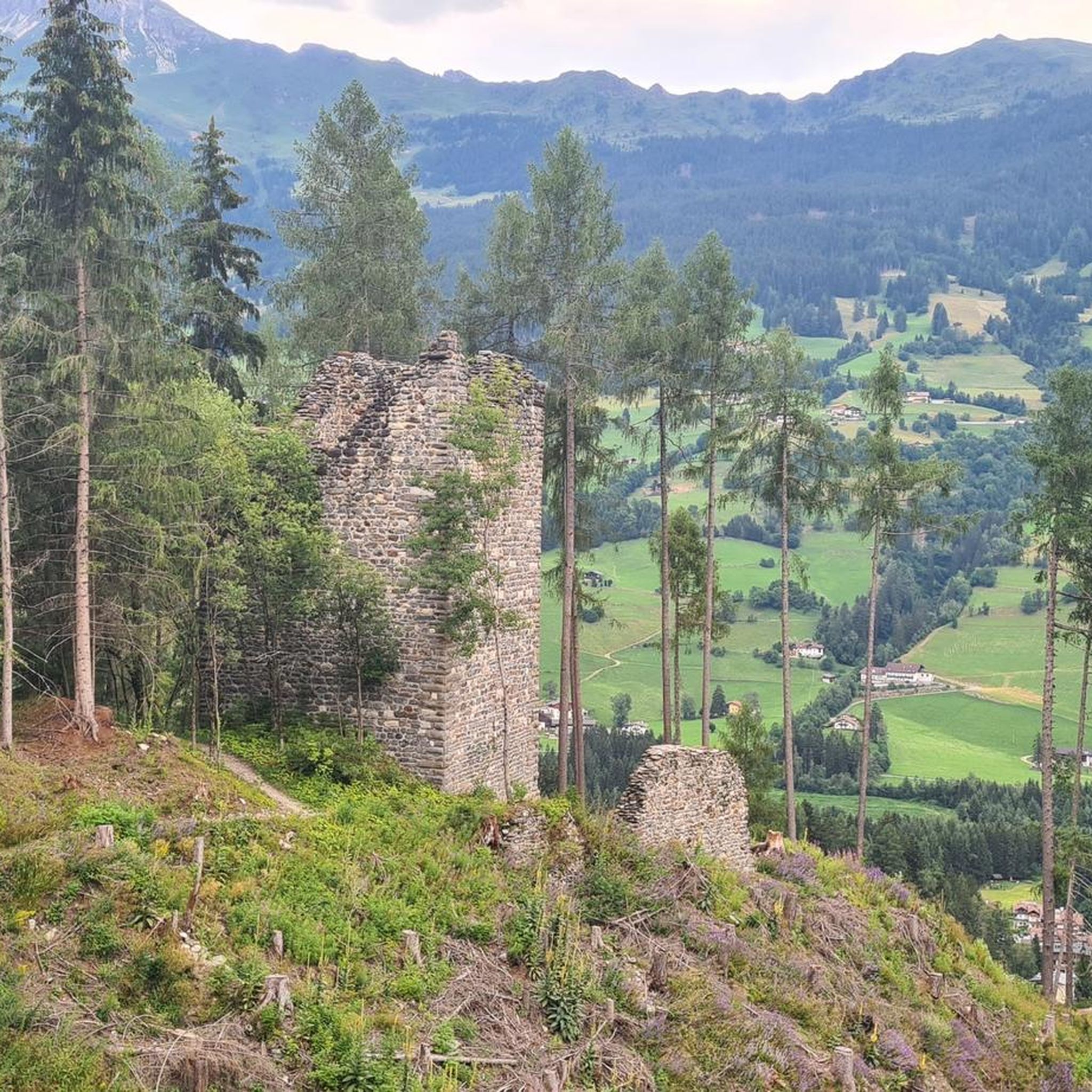
MTB Trails around Ratschings - Racines
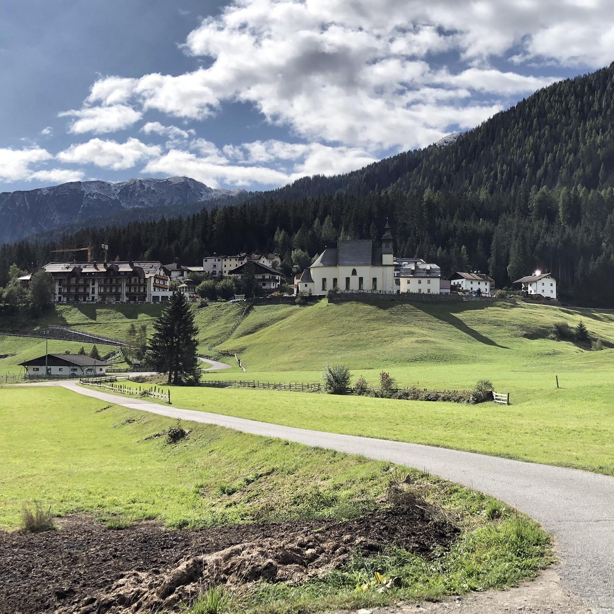
Running Trails around Ratschings - Racines
Road Cycling Routes around Ratschings - Racines
Mountain Hikes around Ratschings - Racines
Other adventures around Ratschings - Racines


Tips from the Community

Beautiful tower in the middle of the city / Visits possible at least temporarily.
0
0

The Twelve Tower was built between 1468 and 1472 above the town's main entrance and served as the upper town gate, at a time when the nearby silver mine in Ridnaun brought prosperity to the region and Sterzing experienced its rise as a Fugger town. Two marble plaques above the archway still commemorate the laying of the foundation stone by Duke Sigismund of Austria in 1469. In 1867, the Gothic spire burned down and was subsequently replaced by the current stone stepped gable.
5
0

From here you have a beautiful view of the Ridnaun Valley.
2
0
Opening hours, admission prices and further information about the Mining Museum can be found here: https://www.bergbaumuseum.it/de/ridnaun/preise-oeffnungszeiten-1009.html#content
2
0

Very nice cycle path with a great panorama of the mountains.
0
1

Profile of what was once the world's largest surface ore conveyor system on rails on the Schneeberg. The system was built in the 1870s by the Imperial and Royal Mining Administration and served to transport silver, lead, and zinc ore from the mines on the Schneeberg to the train station in Sterzing. The total length was 27.249 km, with an elevation difference of approximately 1,900 m to overcome. This required the construction of two "water barrel elevators" and six "brake hills" on which the ore was pulled up over the steepest slopes and braked down. Transport only worked with a counterweight, with the elevators using water barrels, while the brake hills were used to load counter-cargo, primarily food or other consumables needed on the Schneeberg. "Flat roller tracks" led from one brake hill to the next. These are almost level tracks on which horses pulled the ore wagons. Massive ore boxes were built at ingenious locations along the line for temporary storage of the ore. This meant that only parts of the entire transport system could be operated, depending on the season. The abandoned system today represents a unique monument and is still clearly visible from Seemoos to Mareit. Before the construction of the described system, ore was transported for centuries by pack animals and wagons, later by cable cars and trucks. The entire surface conveyor system was constructed in impressive dry-stone masonry and was in operation until around 1925. Only the Seemoos water barrel elevator remained in operation until 1967.
0
0
Profile of what was once the world's largest surface ore conveyor system on rails on the Schneeberg. The system was built in the 1870s by the Imperial and Royal Mining Administration and served to transport silver, lead, and zinc ore from the mines on the Schneeberg to the train station in Sterzing. The total length was 27.249 km, with an elevation difference of approximately 1,900 m to overcome. This required the construction of two "water barrel elevators" and six "brake hills" on which the ore was pulled up over the steepest slopes and braked down. Transport only worked with a counterweight, with the elevators using water barrels, while the brake hills were used to load counter-cargo, primarily food or other consumables needed on the Schneeberg. "Flat roller tracks" led from one brake hill to the next. These are almost level tracks on which horses pulled the ore wagons. Massive ore boxes were built at ingenious locations along the line for temporary storage of the ore. This meant that only parts of the entire transport system could be operated, depending on the season. The abandoned system today represents a unique monument and is still clearly visible from Seemoos to Mareit. Before the construction of the described system, ore was transported for centuries by pack animals and wagons, later by cable cars and trucks. The entire surface conveyor system was constructed in impressive dry-stone masonry and was in operation until around 1925. Only the Seemoos water barrel elevator remained in operation until 1967.
0
0
The Moarerbergalm, at 2,113 meters, is one of the largest alpine farms in Vipiteno-Ratschings. The alpine pasture produces grey cheese and butter, as well as various other dairy products such as yogurt, cream cheese, and buttermilk. The pasture was named "South Tyrol's Most Popular Alpine Hut" in 2021.
0
0
Frequently Asked Questions
What kind of terrain can I expect when touring cycling in Ratschings - Racines?
Ratschings - Racines offers a diverse mix of alpine and forest environments. You'll encounter everything from challenging mountain passes like Jaufenpass and Timmelsjoch to idyllic valleys, lush green slopes, and dense forests. The region is known for its varied terrain, catering to different cycling preferences.
When is the best time of year for touring cycling in Ratschings - Racines?
The months of May and June are particularly popular for touring cycling in Ratschings - Racines. During this time, the rhododendrons are in bloom, adding a vibrant natural spectacle to the scenic routes. The weather is generally favorable for outdoor activities.
Are there any easy touring cycling routes suitable for beginners or families?
Yes, while many routes are challenging, Ratschings - Racines does offer options for easier rides. Out of the 48 touring cycling routes available, 5 are classified as easy. These routes typically feature less elevation gain and more gentle terrain, making them suitable for beginners or families looking for a relaxed ride. For example, the View of Rinneralm – Mareiterbach in the Ridnaun Valley loop from Ridnaun - Ridanna offers a scenic experience through the Ridnaun Valley.
What natural attractions can I see along the touring cycling routes in Ratschings - Racines?
The region is rich in natural beauty. You can encounter crystal-clear mountain lakes such as Lake Obernberg or Seebersee. There are also impressive gorges like Passer Gorge and stunning waterfalls like the View of the Grawa Waterfall or Stieber Waterfall. The Gilfenklamm Gorge is another natural monument with picturesque wooden paths.
Are there any circular touring cycling routes in the Ratschings - Racines area?
Yes, many of the touring cycling routes in Ratschings - Racines are designed as loops, allowing you to start and end in the same location. An example of a challenging circular route is the Zwölferturm (Twelve Tower) loop from Maiern - Masseria, which covers about 38 km with significant elevation changes.
What do other touring cyclists appreciate most about Ratschings - Racines?
The touring cycling routes in Ratschings - Racines are highly rated by the komoot community, with an average score of 4.6 stars from nearly 200 reviews. Cyclists often praise the diverse landscapes, from challenging alpine passes to serene valleys, and the well-maintained network of routes. The stunning panoramic views and opportunities to stop at traditional mountain huts are also frequently highlighted.
Are there places to stop for food and rest along the touring cycling routes?
Absolutely. The area around Sterzing/Vipiteno, Ratschings/Racines, and Gossensass/Colle Isarco features approximately 60 mountain huts along its trails. These huts, such as the Wasserfalleralm and Rinneralm, provide excellent opportunities for cyclists to rest, refuel, and sample local delicacies like dumplings, grey cheese, and Kaiserschmarrn.
Can I rent e-bikes in Ratschings - Racines to help with the mountainous terrain?
Yes, e-bike rentals are available in the Ratschings - Racines region. This makes the mountainous terrain more accessible to a wider range of riders, allowing you to enjoy the scenic routes and challenging ascents with assistance.
What are some notable landmarks or points of interest to explore besides cycling?
Beyond cycling, you can explore the Zuckerhütl Summit for breathtaking views or delve into history at the Ridnaun Mining Museum. For families, the MountainAdventureWorld (BergerlebnisWelt Ratschings) at the Ratschings-Jaufen cable car mountain station offers a circular walk with attractions like a marmot world and water games.
How many touring cycling routes are available in Ratschings - Racines?
There are 48 touring cycling routes available around Ratschings - Racines. These routes cater to various skill levels, with 5 easy, 11 moderate, and 32 difficult options, ensuring there's a suitable ride for almost every touring cyclist.
Are there any routes that offer expansive alpine views?
Yes, many routes in Ratschings - Racines provide stunning alpine vistas. For example, the View of the Alps loop from Bichl - Colle is a challenging 22 km path specifically known for its expansive alpine views across varied terrain. Another route, the View of the Alps – View of Jaufen Pass loop from Gasteig - Casateia, also leads through impressive alpine scenery.
Most popular routes around Ratschings - Racines
Most popular attractions around Ratschings - Racines

Get inspired with the komoot mobile app


Explore more
Browse the best Cycling routes in other regions.
