The best MTB trails around Mamujada/Mamoiada
4.5
(53)
463
riders
38
rides
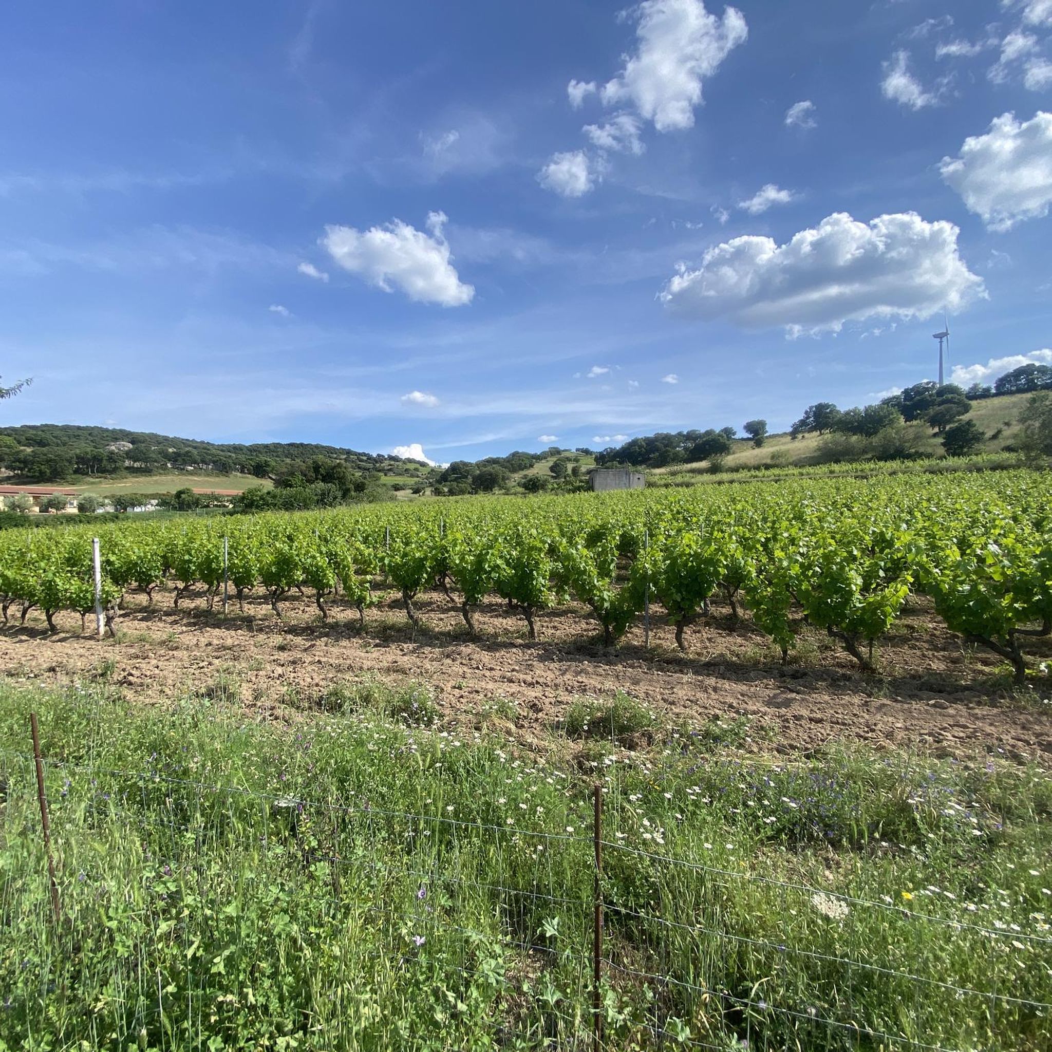
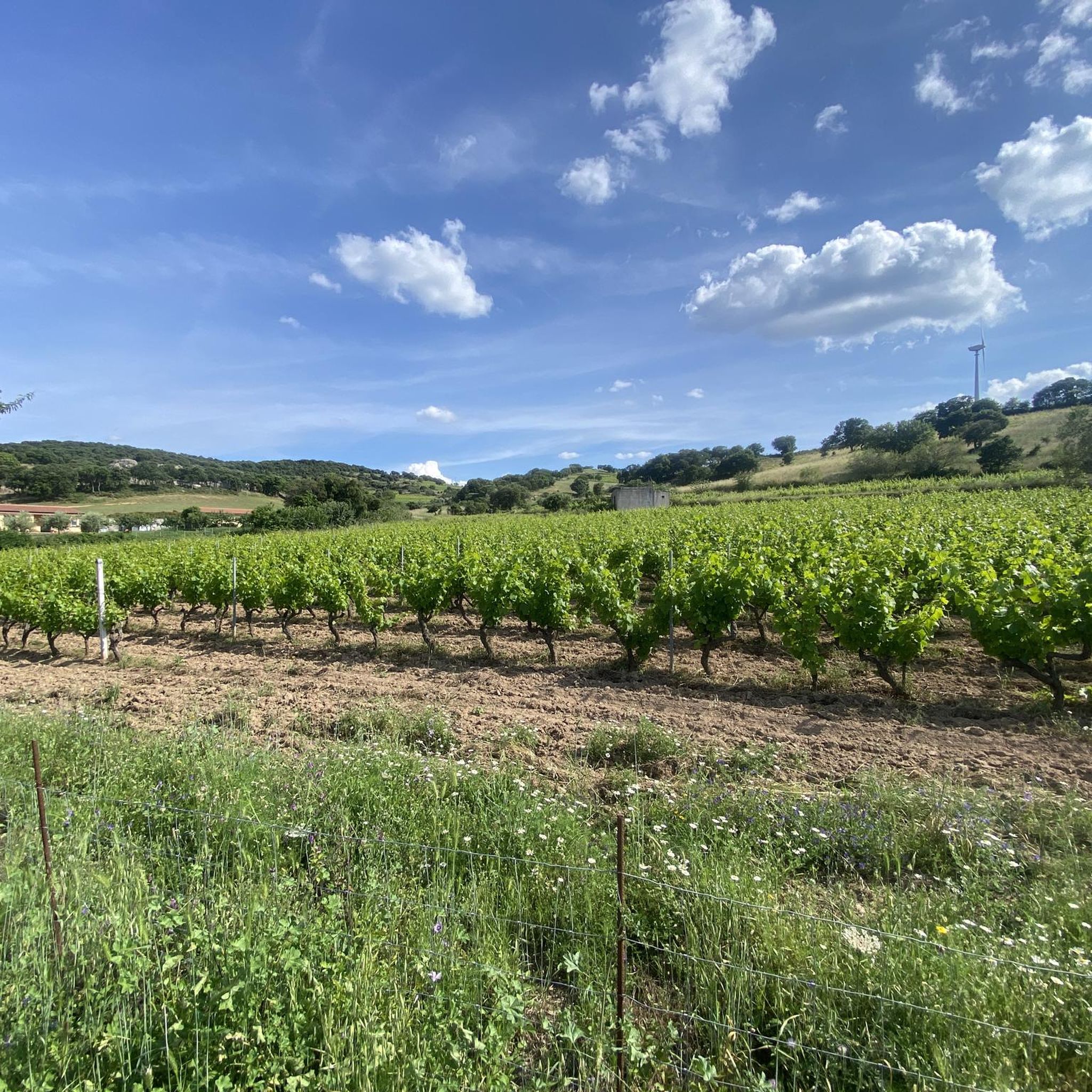
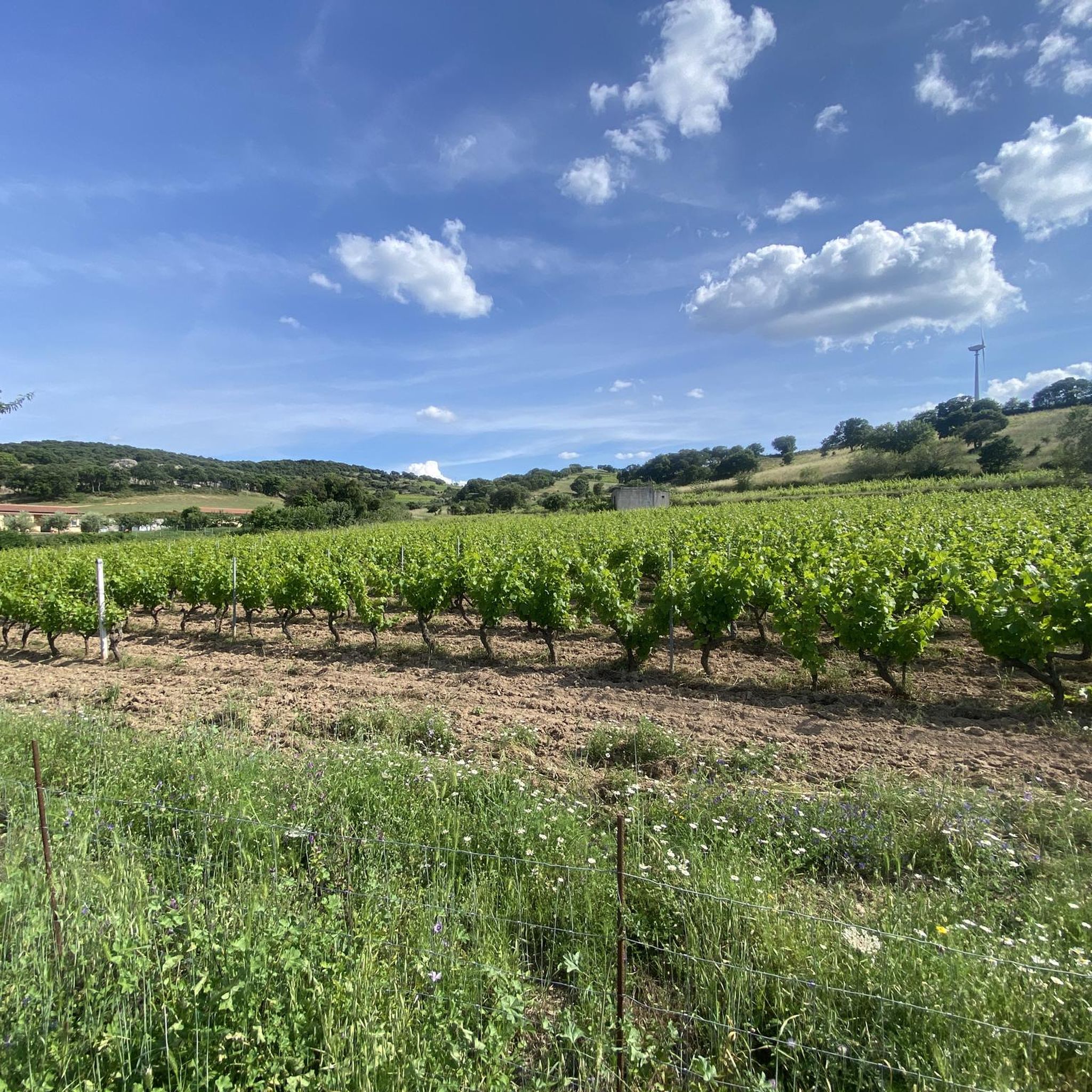
Mountain biking around Mamujada/Mamoiada offers a diverse landscape characterized by rolling hills, ancient historical sites, and forested areas. The region features routes that traverse varied terrain, from the shores of Lake Gusana to the rugged slopes near Mount Bruncu Spina. Riders can expect a mix of natural beauty and cultural landmarks, including traditional murals and nuraghe structures. The area provides a range of mountain bike trails suitable for different skill levels.
Best mountain bike trails around Mamujada/Mamoiada
- The most popular…
Last updated: June 24, 2026
4.0
(1)
28
riders
44.1km
04:23
1,190m
1,190m
Hard mountain bike ride. Very good fitness required. Advanced riding skills necessary. Some portions of the route may require you to push your bike.
4.8
(4)
49
riders
30.3km
02:48
700m
700m
Moderate mountain bike ride. Good fitness required. Advanced riding skills necessary.

Sign up for free
19
riders
31.8km
03:24
1,110m
1,110m
Hard mountain bike ride. Very good fitness required. Suitable for all skill levels.
4.5
(4)
14
riders
43.3km
04:05
1,120m
1,120m
Hard mountain bike ride. Very good fitness required. Advanced riding skills necessary.
5.0
(1)
19
riders
38.9km
04:06
1,170m
1,170m
Hard mountain bike ride. Very good fitness required. Advanced riding skills necessary. Some portions of the route may require you to push your bike.
Get access to more routes and recommendations from other explorers.
Sign up for free
Already have an account?
Our route recommendations are based on thousands of hikes, rides, and runs completed by other people on komoot.
Start today with a free account
Your next adventure awaits.
Login or Signup
Tips from the Community

beautiful single track that ends in front of the Hotel Gusana and the respective lake.
0
0

Excellent typical food such as Pane lentu e porpuzza
0
0
the "Pane lentu e porpuzza" is very good
0
0
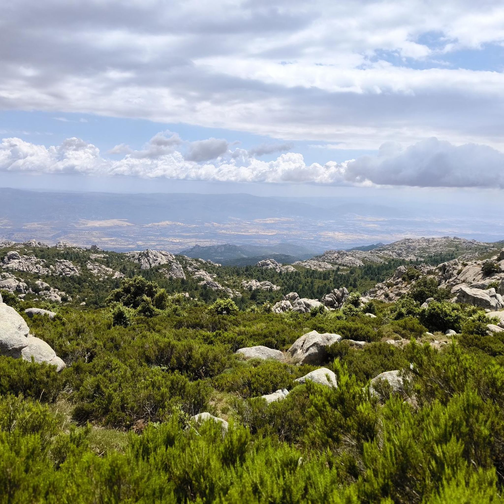
excellent location for the 360° panorama
0
0
One of the highest peaks in the Orgosolo area (1380 m), with a spectacular view. This area, managed by the Forestry Authority, is generally closed to the public, I do not know if for wildlife repopulation or something else.
0
0

A fast and flow trail, recommended for XC riding. Very funny
0
0
A funny enduro trail, with some technical sections. Very recommended
0
0
Frequently Asked Questions
What types of mountain bike trails can I expect in Mamujada/Mamoiada?
The region offers a diverse range of mountain bike trails, from moderate loops around scenic lakes to challenging routes through rugged mountainous terrain. You'll find paths that traverse rolling hills, ancient historical sites, and forested areas, catering to various skill levels.
Are there mountain bike trails suitable for beginners or less experienced riders?
Yes, while many routes are challenging, there are options for less experienced riders. For instance, the region features 1 easy and 9 moderate trails. A good starting point could be the Lake Gusana – Lake Gusana loop from Gavoi, which is a moderate 14.8-mile trail circling the picturesque Lake Gusana.
What are the distances and elevation gains typically found on mountain bike trails in Mamujada/Mamoiada?
Trail distances vary significantly. Moderate routes like the Lake Gusana loop are around 14.8 miles with about 1,063 feet of elevation gain. More difficult trails, such as the Murals of Orgosolo – Nuraghe Lòle loop, can extend to 28.6 miles with over 4,300 feet of climbing.
Are there any circular mountain bike routes in the area?
Yes, many of the mountain bike trails in Mamujada/Mamoiada are designed as loops. Examples include the Lake Gusana – Lake Gusana loop from Gavoi and the Picnic Area with Fountain – Murals of Orgosolo loop from Orgòsolo/Orgosolo, offering convenient starting and ending points.
What cultural or historical sights can I see while mountain biking in Mamujada/Mamoiada?
The region is rich in cultural landmarks. Many routes pass by traditional murals, especially around Orgosolo, and ancient nuraghe structures. You can explore trails like the Murals of Orgosolo – Nuraghe Lòle loop to combine cultural exploration with your ride. The Murals of Orgosolo and the Fabrizio De André Mural are notable highlights.
Are there any scenic viewpoints or natural attractions accessible by mountain bike?
Absolutely. The region is known for its natural beauty, including the shores of Lake Gusana and the rugged slopes near Mount Bruncu Spina. You can also find highlights like the Christ the Redeemer statue on Monte Ortobene, offering panoramic views, or explore the area around Mount Ortobene.
What do other mountain bikers say about the trails in Mamujada/Mamoiada?
The mountain bike routes in Mamujada/Mamoiada are highly rated by the komoot community, with an average score of 4.4 stars from around 20 reviews. Riders often praise the diverse terrain, the blend of natural beauty with cultural landmarks, and the variety of options for different ability levels.
Are there any mountain bike trails that pass by places to eat or rest stops?
Yes, some routes are known to pass near amenities. For example, the Picnic Area with Fountain – Murals of Orgosolo loop leads through areas with natural rest stops. Additionally, you might find restaurants or cafes in nearby towns or along certain routes, such as the Coop Enis Monte Maccione Restaurant & Hotel.
What is the best time of year for mountain biking in Mamujada/Mamoiada?
The spring and autumn months generally offer the most pleasant conditions for mountain biking in Sardinia, with milder temperatures and less intense sun than the summer. Winter can also be suitable for riding at lower elevations, though higher mountain areas might experience colder weather or snow.
Are there any advanced or challenging mountain bike trails in Mamujada/Mamoiada?
Yes, the region is well-suited for experienced riders, with 19 out of 29 routes classified as difficult. Trails like the Fonni – Mount Bruncu Spina loop from Fonni/'Onne, covering 25.5 miles with over 4,200 feet of elevation gain, offer significant challenges and rewarding climbs towards mountainous peaks.
Can I find less crowded mountain bike trails in Mamujada/Mamoiada?
While popular routes can see more traffic, the extensive network of 29 trails means it's often possible to find quieter paths, especially outside of peak tourist seasons or by exploring some of the less-trafficked difficult routes. The region's vast natural landscapes offer plenty of opportunities for solitude.
Are there mountain bike trails that offer views of Mount Bruncu Spina?
Yes, several trails provide views of or even ascend towards Mount Bruncu Spina, one of the prominent peaks in the area. The Fonni – Mount Bruncu Spina loop from Fonni/'Onne is a prime example, offering a challenging ride with direct engagement with the mountainous terrain.
Most popular attractions around Mamujada/Mamoiada

Get inspired with the komoot mobile app


Explore more
Browse the best MTB trails in other regions.
