The best running trails around Otricoli
4.7
(7)
374
runners
28
runs
Jogging routes around Otricoli traverse a landscape characterized by the Nera River valley, offering paths along its banks and through surrounding hills. The region features a mix of rural countryside and areas with moderate elevation changes, providing varied terrain for running. Routes often pass through agricultural land and offer views of the Umbrian landscape, including rolling hills and wooded areas.
Best jogging routes around Otricoli
- The most popular jogging route is Le mole – Galleria di Recentino loop from Nera…
Last updated: July 5, 2026
5.0
(2)
66
runners
Moderate run. Good fitness required. Mostly paved surfaces. Suitable for all skill levels.
36
runners
16.3km
01:43
170m
170m
Hard run. Very good fitness required. Mostly paved surfaces. Suitable for all skill levels.

Sign up for free
29
runners
8.82km
00:59
180m
180m
Moderate run. Good fitness required. Mostly paved surfaces. Suitable for all skill levels.
12
runners
Moderate run. Good fitness required. Mostly paved surfaces. Suitable for all skill levels.
4.0
(1)
7
runners
12.4km
01:17
110m
110m
Moderate run. Good fitness required. Mostly paved surfaces. Suitable for all skill levels.
Get access to more routes and recommendations from other explorers.
Sign up for free
Already have an account?
Our route recommendations are based on thousands of hikes, rides, and runs completed by other people on komoot.
Start today with a free account
Your next adventure awaits.
Login or Signup

Tips from the Community

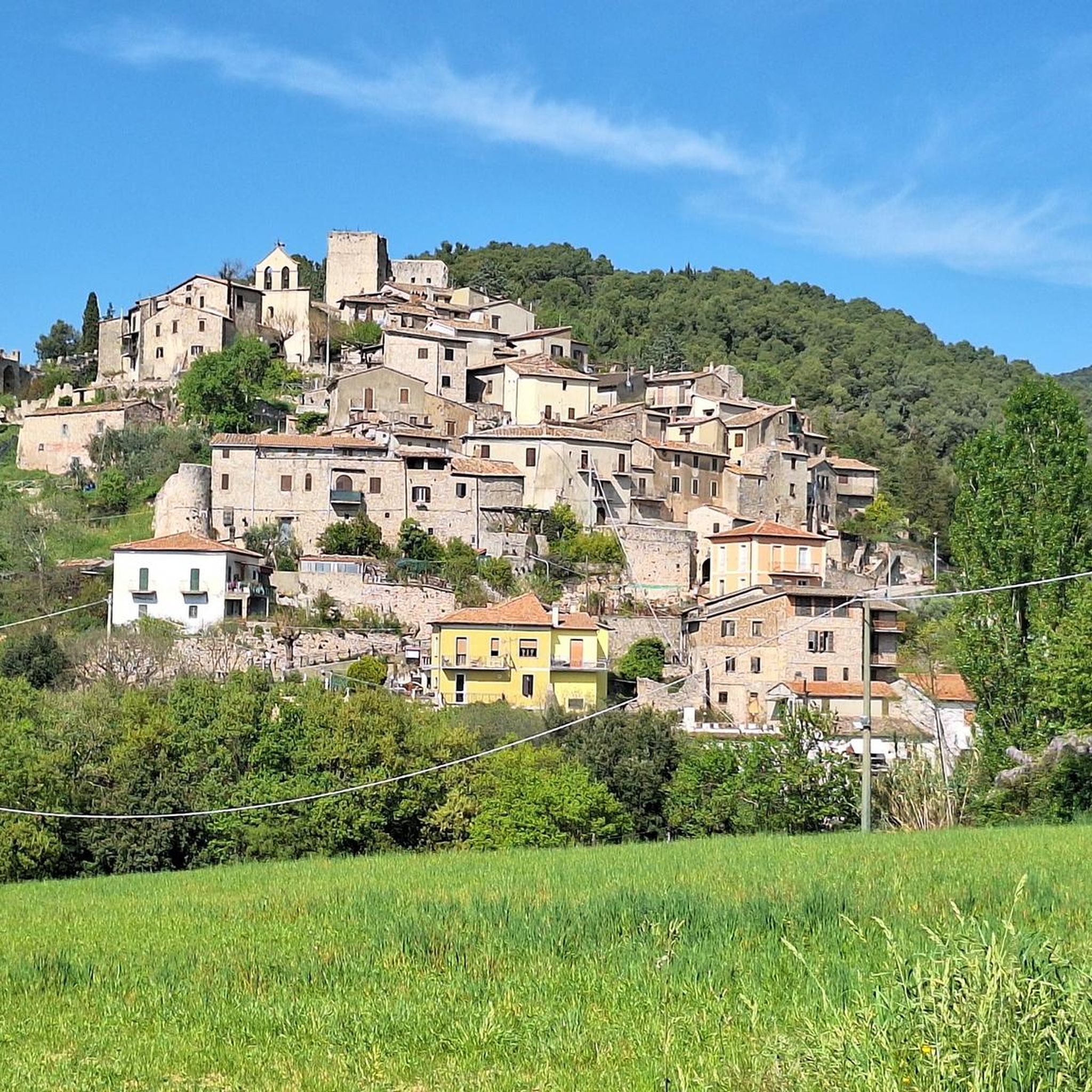
Beautiful village that's definitely worth a visit!! 👍🏼
1
0

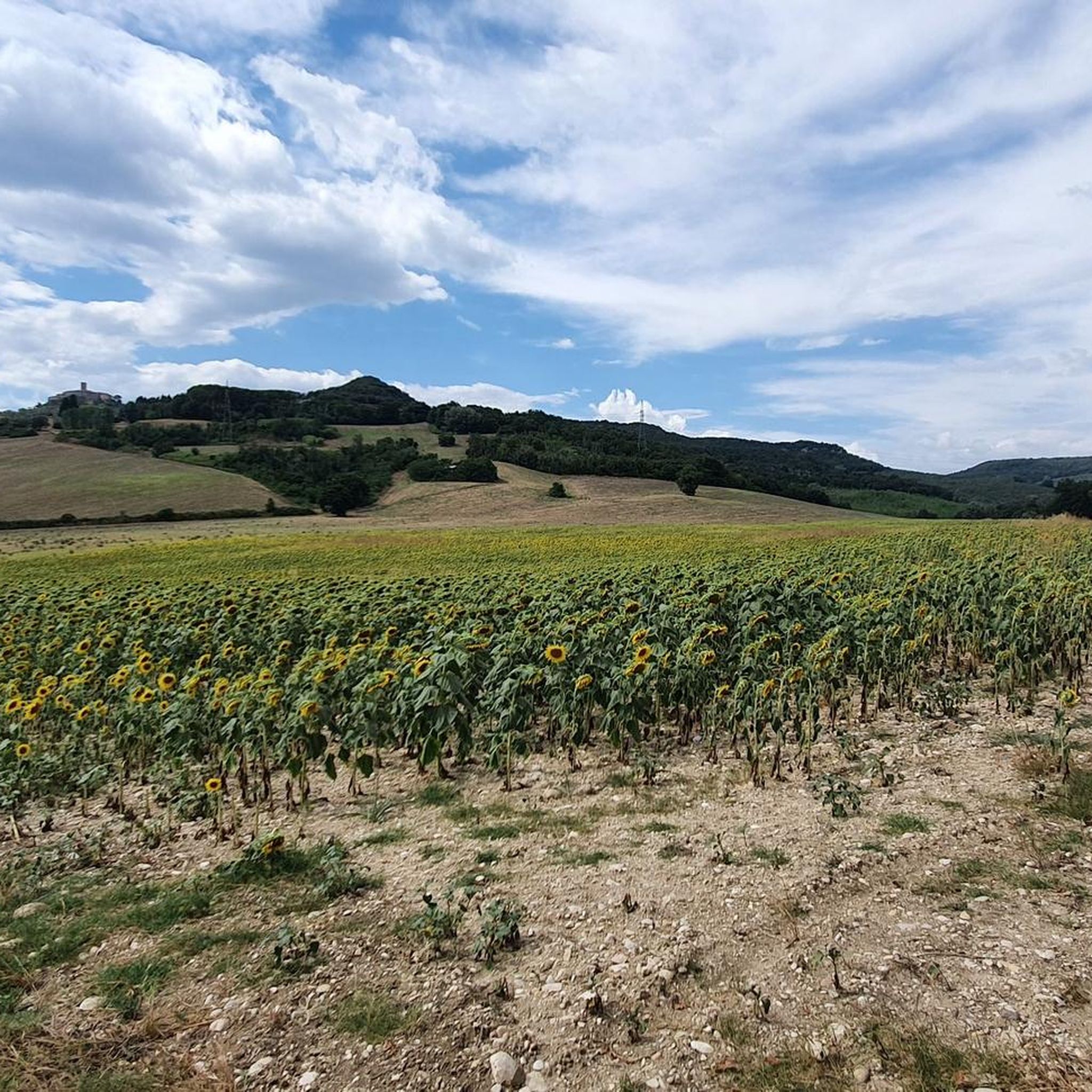
Beautiful, completely safe route from which to admire the even more spectacular Nera gorge
1
0
Starting point for excursions along the Nera gorge
1
0

spacious place, easy to access and surrounded by nature.
2
0

Roman bridge (27 BC). It was used to cross the gorge created by the Nera river.
0
0

(HILL) Augustus Bridge. Santa Rosa Spring and San Cassiano Abbey from Sant'Anna Industrial Area
0
0

one of the most beautiful cycle paths there is
0
0
Very scenic passage under the bridge
1
0
Frequently Asked Questions
How many running routes are available around Otricoli?
There are over 20 running routes around Otricoli listed on komoot, offering a variety of options for different skill levels. These routes traverse the Nera River valley, rural countryside, and rolling hills.
Are there any easy running routes for beginners in Otricoli?
While there are no routes specifically classified as 'easy' in our current selection, many of the 14 moderate routes can be suitable for beginners looking for a gentle challenge. These paths often follow riverbanks or less steep agricultural land, providing a good introduction to running in the region.
What kind of terrain can I expect on jogging trails near Otricoli?
Jogging routes around Otricoli feature varied terrain, characterized by the Nera River valley, its banks, and surrounding hills. You'll encounter a mix of rural countryside, agricultural land, and areas with moderate elevation changes, offering diverse running experiences.
Are there any circular running routes in the Otricoli area?
Yes, many of the running routes around Otricoli are circular. For example, the Nera Gorge Cycle Route – Tunnel of the Former Railway loop from Taizzano is a moderate 5.9-mile (9.5 km) path that offers riverside scenery. Another option is the Running loop from Orte, which is 7.1 miles (11.4 km) through the local countryside.
What are some interesting landmarks or attractions I might see while running near Otricoli?
Many routes offer views of the Umbrian landscape. You can explore historical sites like the Ocriculum Archaeological Park or natural wonders such as the Stifone and the Nera Gorges. The Nera Gorge Cycle Route – Tunnel of the Former Railway loop from Taizzano specifically follows the Nera Gorge, offering scenic riverside views.
Are there any longer, more challenging running routes for experienced runners?
Yes, for experienced runners seeking a challenge, there are 7 difficult routes available. A notable option is Le mole – Galleria di Recentino loop from Nera Montoro, an 11.9-mile (19.1 km) trail with significant elevation changes. Another challenging route is the Running loop from Narni, which covers 15.2 miles (24.5 km) with considerable ascents.
What do other runners enjoy most about jogging in Otricoli?
The running routes in Otricoli are highly rated by the komoot community, with an average score of 4.3 stars from 3 reviews. Runners often praise the varied terrain, the scenic views of the Nera River valley, and the peaceful rural landscapes that define the region.
Can I find running routes that are suitable for families with children?
While specific 'family-friendly' classifications aren't provided, routes with moderate difficulty and flatter sections along the Nera River could be suitable for families. Consider shorter, less strenuous options, keeping in mind the varied terrain and potential elevation changes in the region.
Are there opportunities for wildlife spotting on the running trails?
The rural countryside and river valley landscapes around Otricoli offer opportunities for wildlife spotting. Runners might encounter various bird species, small mammals, and local flora, especially on trails that pass through less developed agricultural areas and natural riverbanks.
How do the running routes in Otricoli compare to those in nearby Narni?
Both Otricoli and Narni offer excellent running opportunities in Umbria. Otricoli's routes are characterized by the Nera River valley and rolling agricultural lands, while Narni, being slightly more elevated, often features routes with more pronounced hills and historical elements. For example, the Gallo Bike Park loop from Narni is a moderate option near Narni.
What is the typical duration for running routes in Otricoli?
The duration of running routes in Otricoli varies significantly based on distance and difficulty. For instance, a moderate 5.9-mile (9.5 km) route like the Nera Gorge Cycle Route – Tunnel of the Former Railway loop from Taizzano typically takes around 1 hour. Longer, more difficult trails, such as the 11.9-mile (19.1 km) Le mole – Galleria di Recentino loop from Nera Montoro, can take approximately 2 hours.
Most popular attractions around Otricoli

Get inspired with the komoot mobile app


Explore more
Browse the best Running Trails & Routes in other regions.
