The best walks and hikes around Lubriano
4.5
(1527)
9,948
hikers
162
hikes
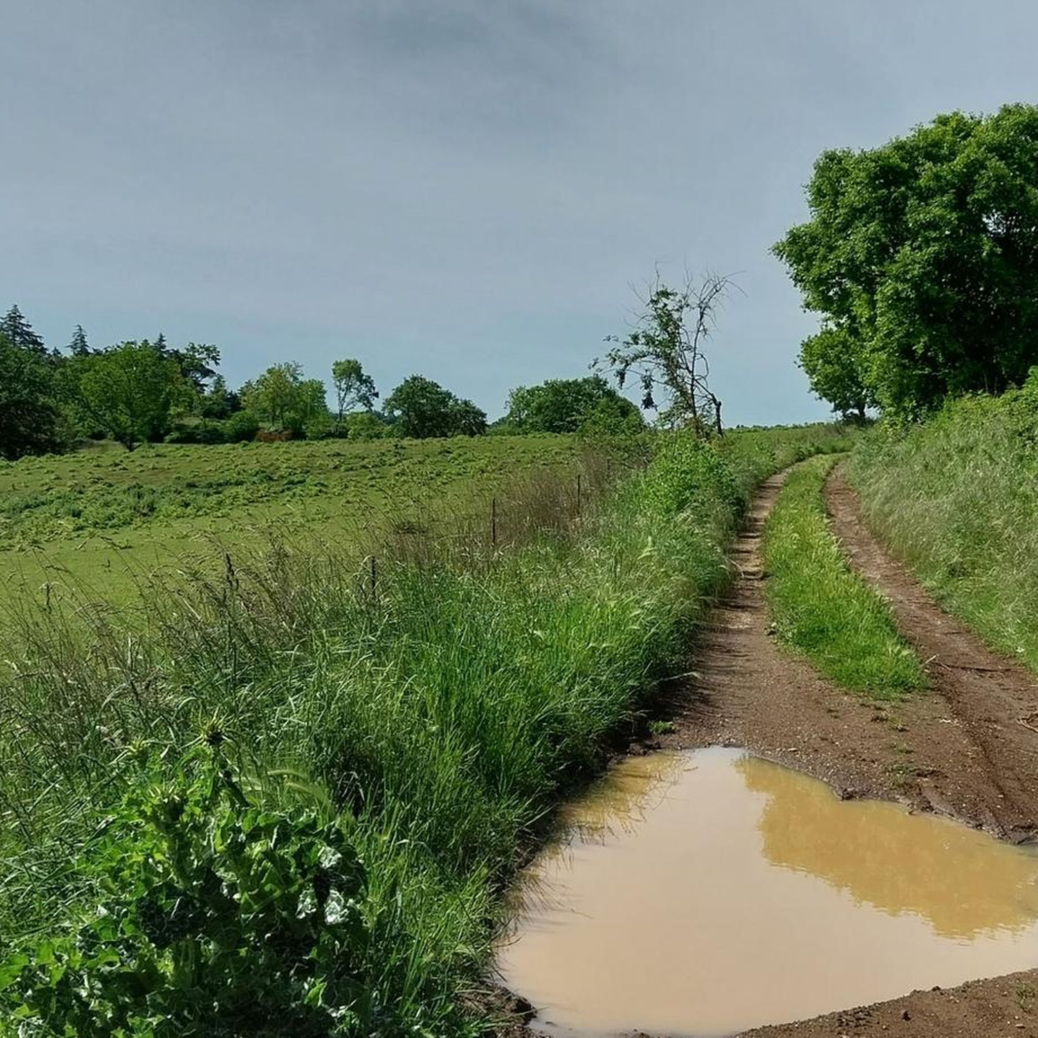
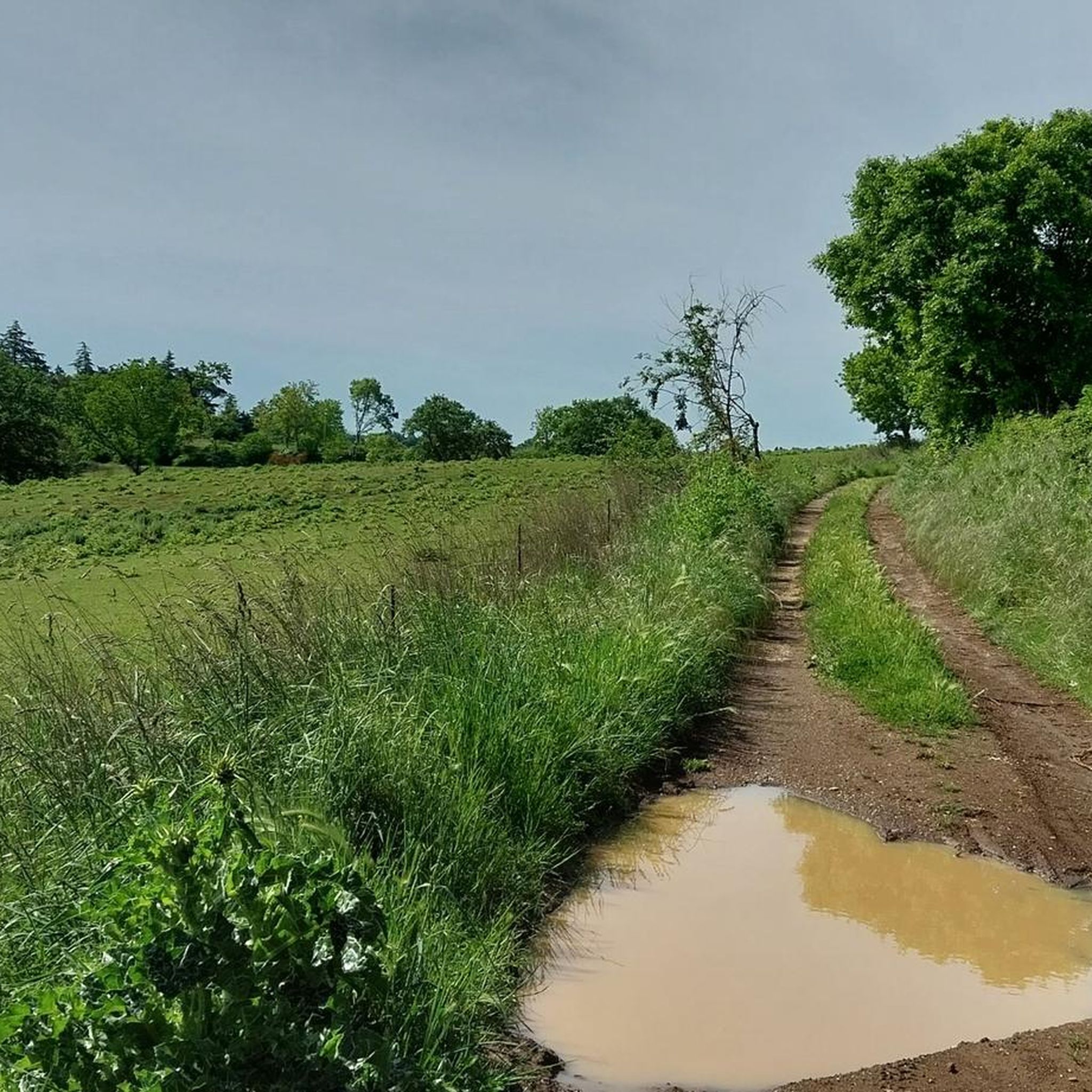
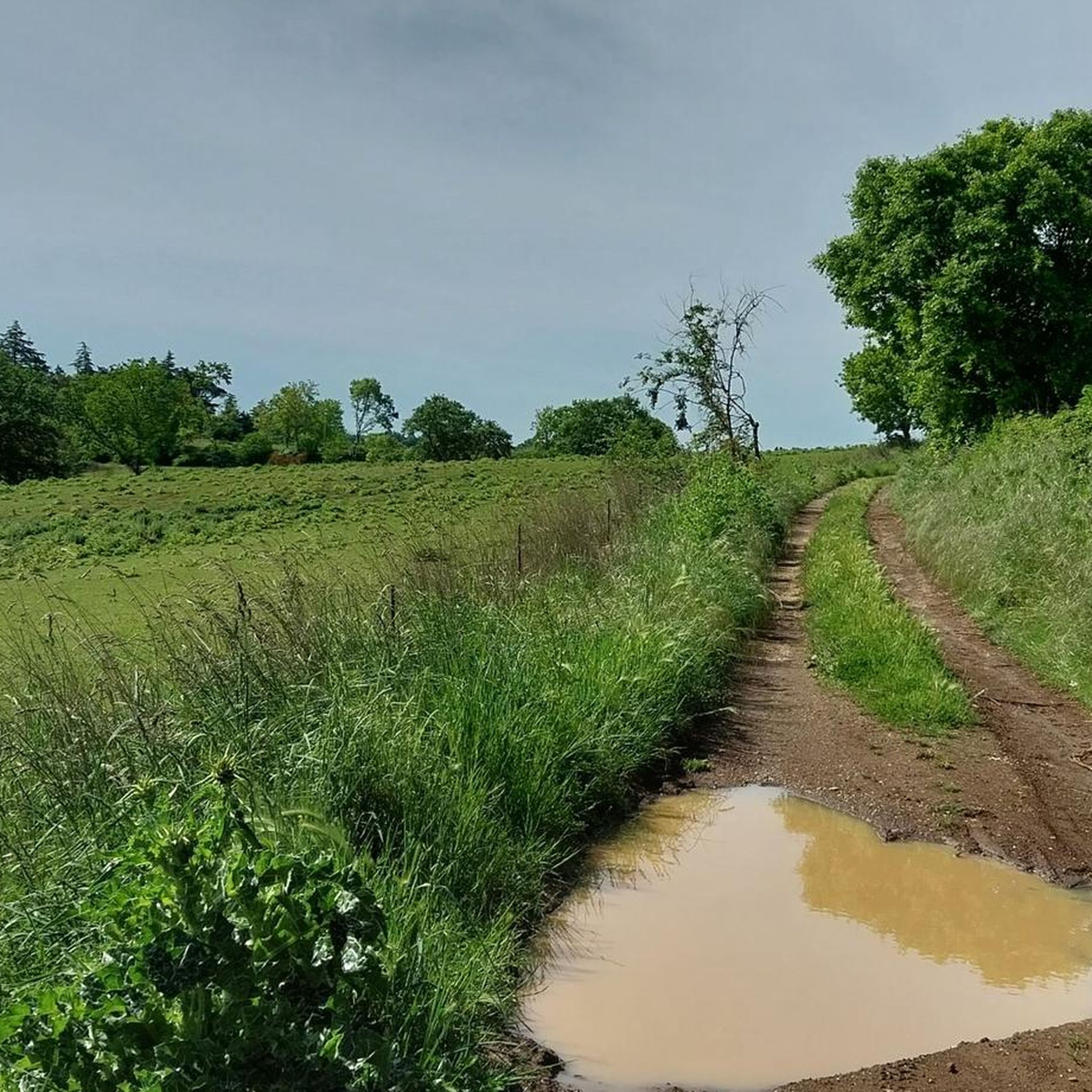
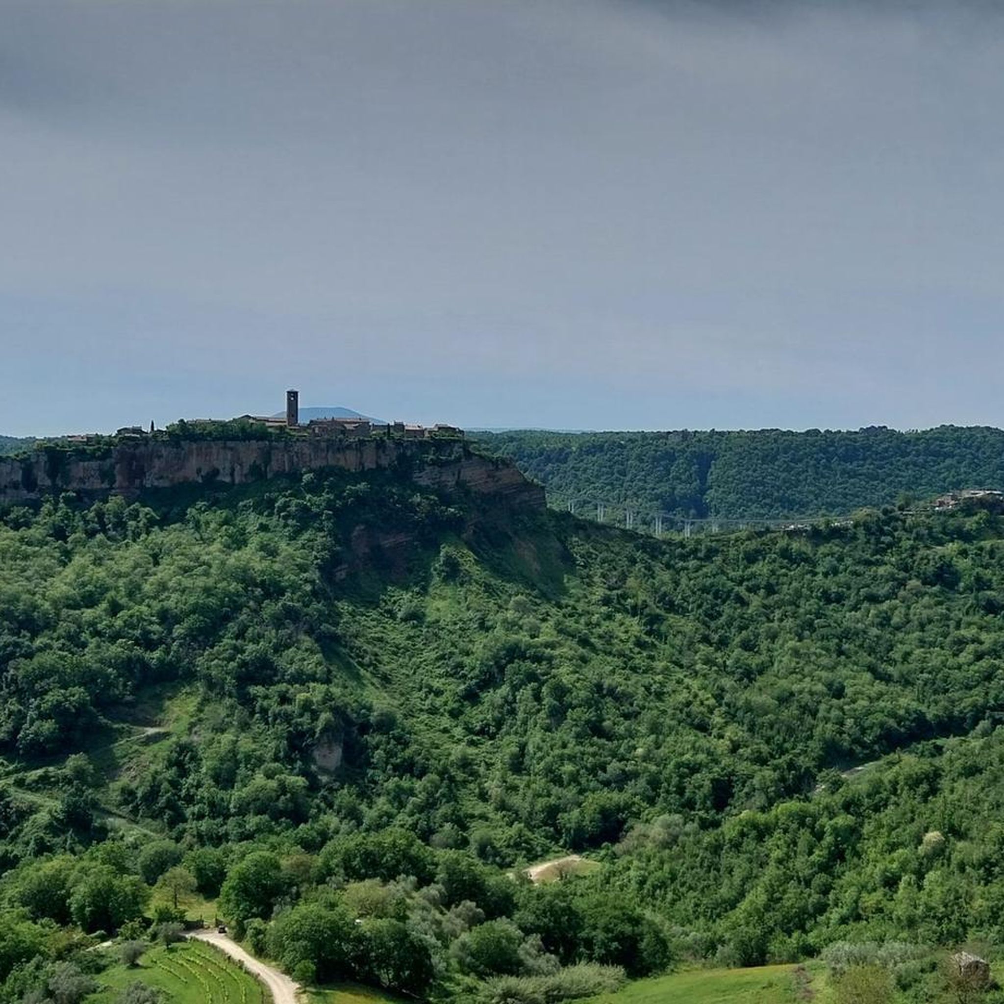
Hiking around Lubriano offers exploration of a unique landscape characterized by dramatic geological formations. The town is situated on a tuff plateau, overlooking the Valle dei Calanchi, a valley known for its deep, eroded clay gullies. This hilly region provides diverse terrain, with trails offering panoramic views of the iconic Civita di Bagnoregio and the surrounding Calanchi Valley.
Best hiking trails around Lubriano
- The most popular hiking route is From Bagnoregio towards Civita and the Lubriano stage - Ring tour…
Last updated: August 19, 2026
4.0
(1)
2
hikers
4.77km
01:29
180m
180m
Easy hike. Great for any fitness level. Easily-accessible paths. Suitable for all skill levels.
4.6
(41)
731
hikers
Easy hike. Great for any fitness level. Easily-accessible paths. Suitable for all skill levels.

Sign up for free
4.6
(23)
244
hikers
Moderate hike. Good fitness required. Easily-accessible paths. Suitable for all skill levels.
5.0
(1)
100
hikers
Easy hike. Great for any fitness level. Easily-accessible paths. Suitable for all skill levels.
4.0
(5)
41
hikers
8.29km
02:43
380m
380m
Moderate hike. Good fitness required. Easily-accessible paths. Suitable for all skill levels.
Get access to more routes and recommendations from other explorers.
Sign up for free
Already have an account?
Our route recommendations are based on thousands of hikes, rides, and runs completed by other people on komoot.
Start today with a free account
Your next adventure awaits.
Login or Signup

Tips from the Community

After visiting Civita di Bagnoregio, we came here to eat something and were very positively surprised. The food was great.
0
0
Old town square, just as you imagine a square in Italy. Café, church etc.
0
0
From the village, you have a wonderful view over the rugged ridges of the valle dei calanchi.
0
0
From here you climb into another time...
0
0
Very early in the morning it is still quiet and most beautiful. Wonderful mood of colors and light.
0
0
Sweet, but also makes you think about tourism. How much can you sell yourself, when does privacy begin? But, a beautiful village!
0
0
The dying city sees up to 14,000 people a day, who each pay 5.00 Euros entrance fee for this. It borders on prostitution to have to put up with this. In itself a beautiful village, which for this high price looks the way it does. We were there early in the morning, when the Chinese tour groups arrived around 11:00 AM, we were already on our way back.
0
0
On foot and as early as possible in the morning, then it's still beautiful.
0
0
Frequently Asked Questions
How many hiking trails are available around Lubriano?
Lubriano offers a wide variety of hiking experiences, with over 130 routes available. These trails cater to different skill levels, including easy walks, moderate hikes, and some more challenging options.
What unique landscapes will I encounter on hikes near Lubriano?
Hiking around Lubriano provides dramatic views of the Valle dei Calanchi, characterized by deep, jagged clay gullies sculpted by erosion. You'll also experience the unique perspective from the tuff plateau where Lubriano is situated, offering unparalleled vistas of the iconic Civita di Bagnoregio, often called 'the dying city'.
Are there easy hiking options suitable for families or beginners in Lubriano?
Yes, Lubriano has many easy trails perfect for families or those seeking a relaxed walk. For example, the View of Civita di Bagnoregio – View of the Calanchi Valley loop from Bagnoregio is an easy 3.8 km route that offers beautiful scenery without significant elevation gain.
Can I bring my dog on the hiking trails in Lubriano?
Generally, dogs are welcome on many outdoor trails in the Lubriano area, especially on natural paths. However, it's always advisable to keep them on a leash, particularly in more populated areas or near wildlife, and to check for any specific local regulations at trailheads or nature reserves.
Are there any circular hiking routes in Lubriano?
Yes, many routes around Lubriano are designed as circular walks, allowing you to start and end in the same location. A popular option is the From Bagnoregio towards Civita and the Lubriano stage - Ring tour, a 4.8 km loop offering views towards Civita di Bagnoregio.
What historical or natural landmarks can I see along the hiking trails?
Beyond the stunning Calanchi Valley and Civita di Bagnoregio, you can explore several points of interest. The Historic village of Civita di Bagnoregio itself is a must-see. Other nearby attractions include the ancient Necropolis of San Lorenzo and the Well of the Quarry. The town of Lubriano also features medieval charm, historic churches like St. John the Baptist, and the Monaldeschi Palace.
What is the best time of year to go hiking in Lubriano?
Spring (April-May) and Autumn (September-October) are generally the best times for hiking in Lubriano. The weather is milder, and the landscapes are particularly beautiful, with spring blooms or autumn colors. Summers can be hot, making early morning or late afternoon hikes preferable, while winters are cooler but still offer unique views of the Calanchi Valley.
Are there any moderate or challenging hikes for more experienced hikers?
Absolutely. For those seeking a more challenging experience, Lubriano offers several moderate to difficult routes. The Santa Maria Gate – View of the Calanchi Valley loop from Lubriano is a moderate 9.3 km path with significant elevation changes, providing extensive views of the distinctive Calanchi Valley.
How do other hikers rate the trails in Lubriano?
The hiking trails in Lubriano are highly regarded by the komoot community, boasting an average rating of 4.5 stars from over 1000 reviews. Hikers frequently praise the breathtaking panoramic views of Civita di Bagnoregio and the unique geological formations of the Valle dei Calanchi.
What makes the geology of Lubriano particularly interesting for hikers?
Lubriano's geology is defined by its position on a tuff plateau, a volcanic rock formation. This creates dramatic contrasts with the surrounding Valle dei Calanchi, where soft clay has been eroded into deep gullies. This unique geological interplay offers hikers a chance to witness active erosion and ancient landscapes, including rock-cut chamber tombs from Etruscan and Roman times along the valley slopes.
Is public transport available to reach hiking trailheads in Lubriano?
While Lubriano is a smaller town, local bus services connect it to larger centers like Viterbo and Bagnoregio. From these points, you may be able to reach some trailheads. However, for maximum flexibility in exploring the diverse hiking network, having a car is often recommended.
Where can I find parking when hiking in Lubriano?
In Lubriano, parking is generally available in designated areas within the town, especially near the historic center or main squares. For specific trailheads outside the town, it's advisable to check local signage or maps, as parking might be limited to small pull-offs or designated spots. Many routes start directly from the town, making it convenient to park once and begin your hike.
Most popular attractions around Lubriano

Get inspired with the komoot mobile app


Explore more
Browse the best Hikes in other regions.
