The best walks and hikes around Magliano Sabina
4.4
(491)
1,268
hikers
58
hikes
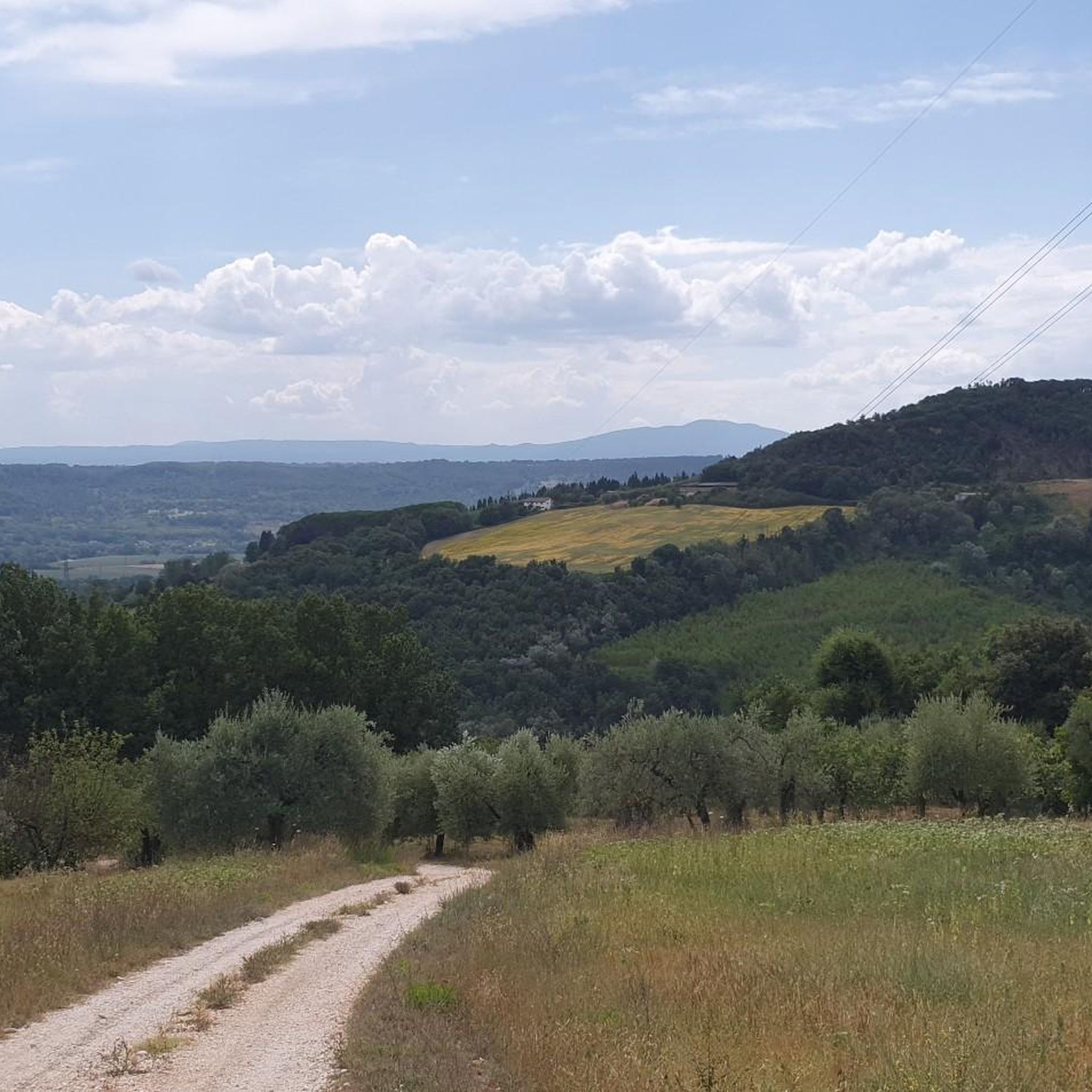
Hiking around Magliano Sabina offers diverse landscapes, from rolling wooded hills to cultivated fields of olive groves and vineyards. The ancient Tiber River winds through the valley, complemented by the dramatic backdrop of the Subapennine range, including Monte Cosce and Monte San Pancrazio. Hikers can find routes exploring ancient Roman ruins and enjoy panoramic views encompassing Monte Soratte, and the Cimini and Sabatini Mountains. The region's terrain provides a mix of elevations and natural features suitable for various hiking experiences.
…Last updated: October 22, 2026
4.7
(3)
6
hikers
Easy hike. Great for any fitness level. Easily-accessible paths. Suitable for all skill levels.
3
hikers
7.70km
02:12
180m
180m
Moderate hike. Good fitness required. Easily-accessible paths. Suitable for all skill levels.

5.0
(3)
4
hikers
9.56km
02:47
250m
250m
Moderate hike. Good fitness required. Easily-accessible paths. Suitable for all skill levels.
5.0
(2)
3
hikers
5.93km
01:50
190m
200m
Easy hike. Great for any fitness level. Easily-accessible paths. Suitable for all skill levels.
3.0
(1)
5
hikers
14.0km
04:37
620m
620m
Moderate hike. Good fitness required. Easily-accessible paths. Suitable for all skill levels.
Get access to more routes and recommendations from other explorers.
Already have an account?
Our route recommendations are based on thousands of hikes, rides, and runs completed by other people on komoot.
Start today with a free account
Your next adventure awaits.
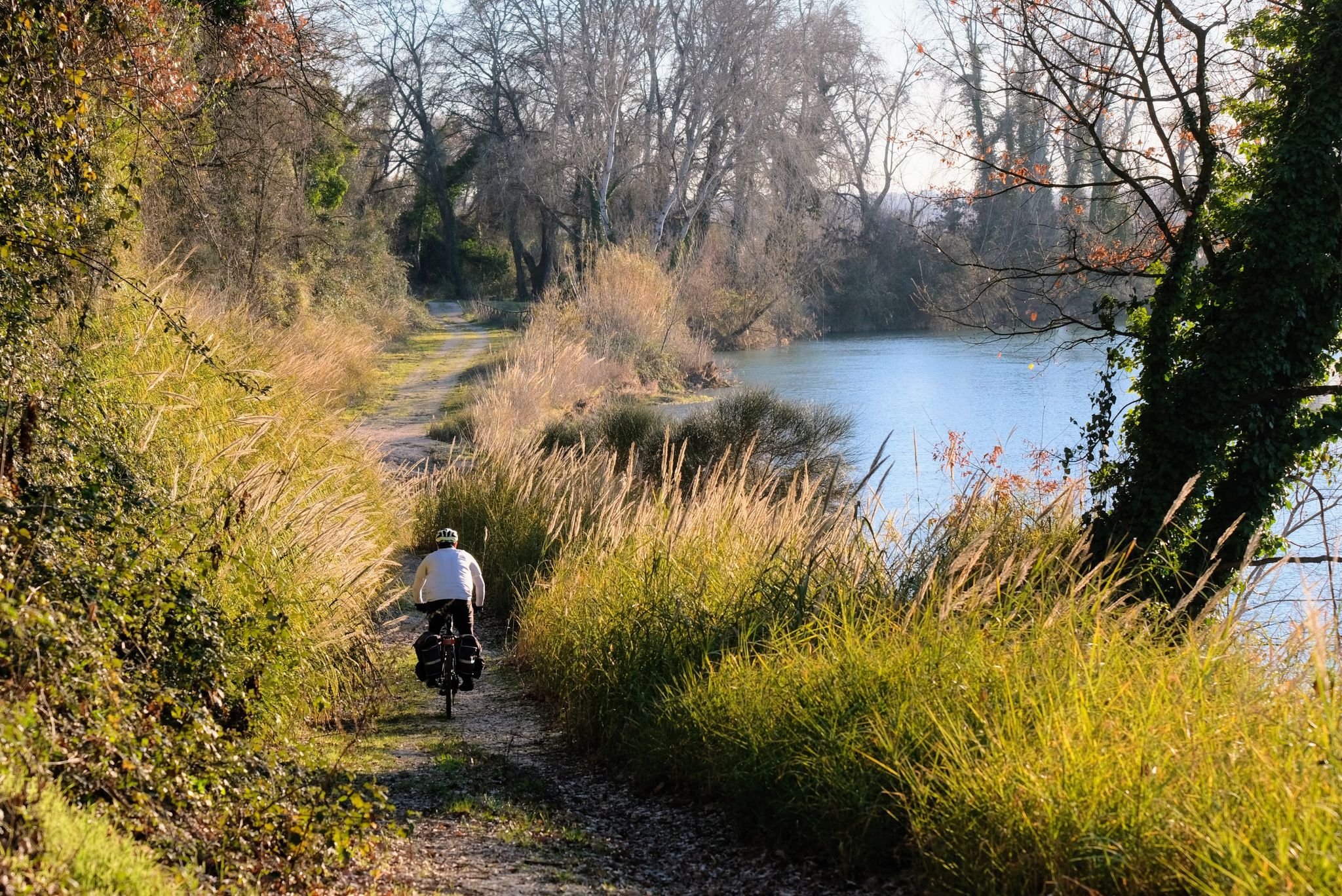
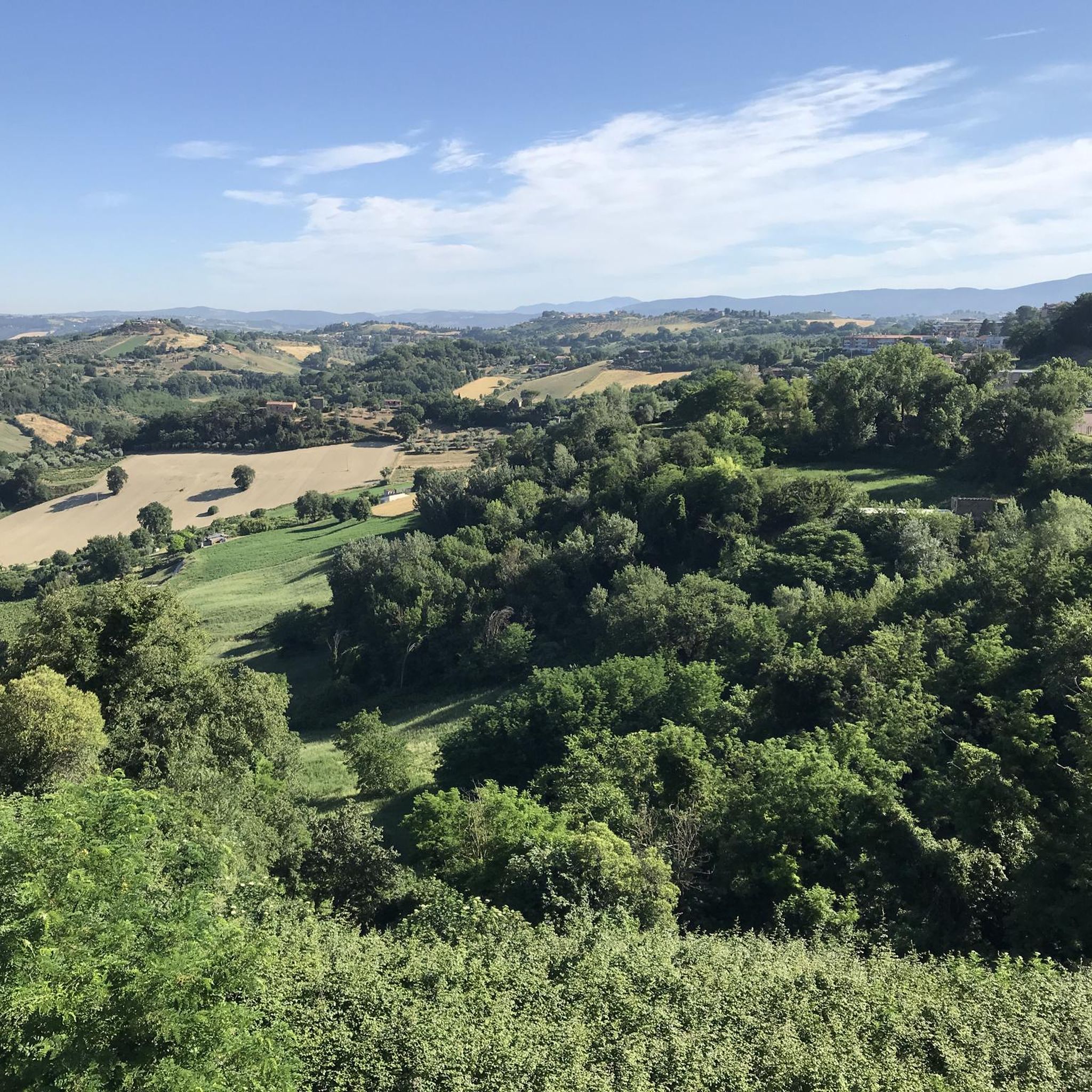
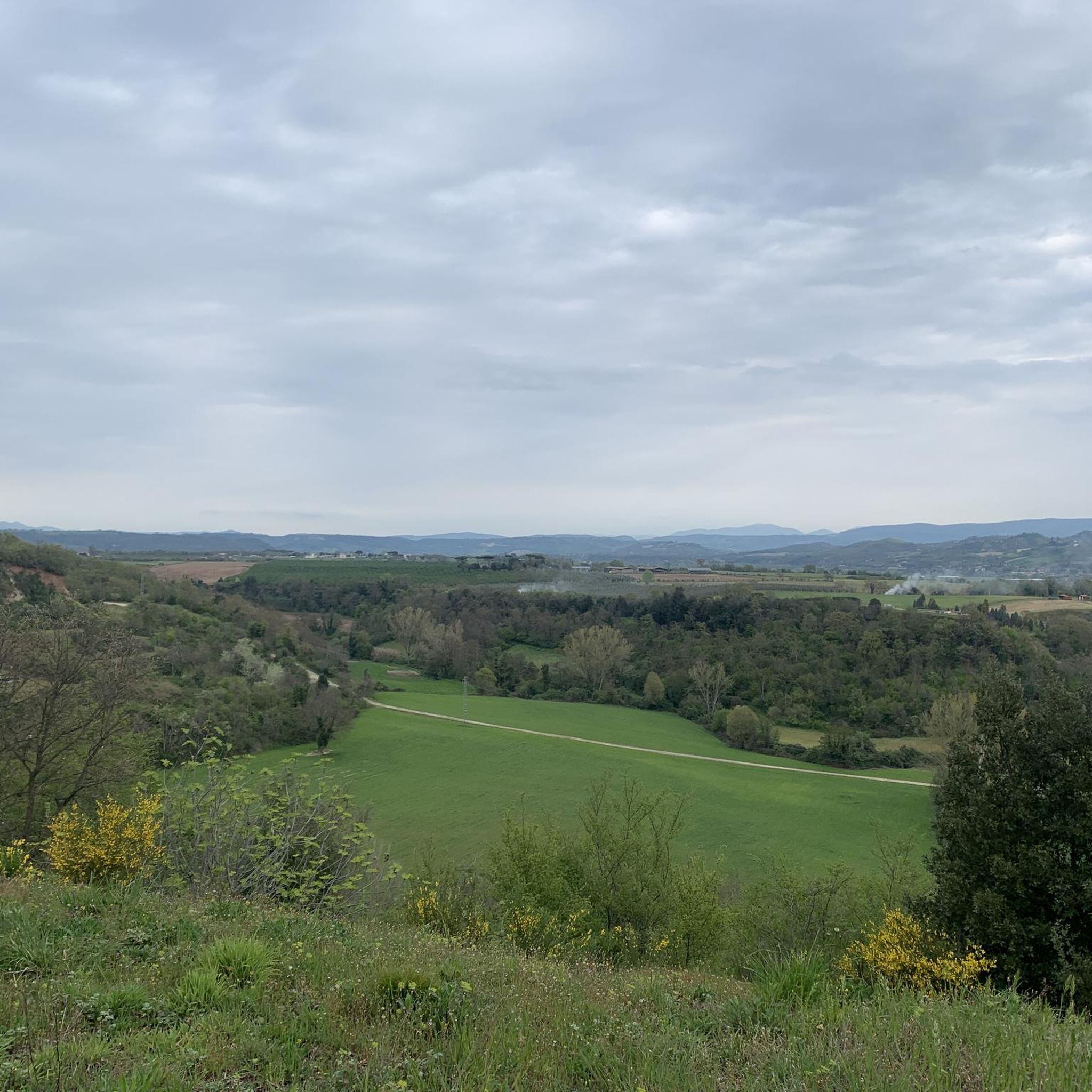
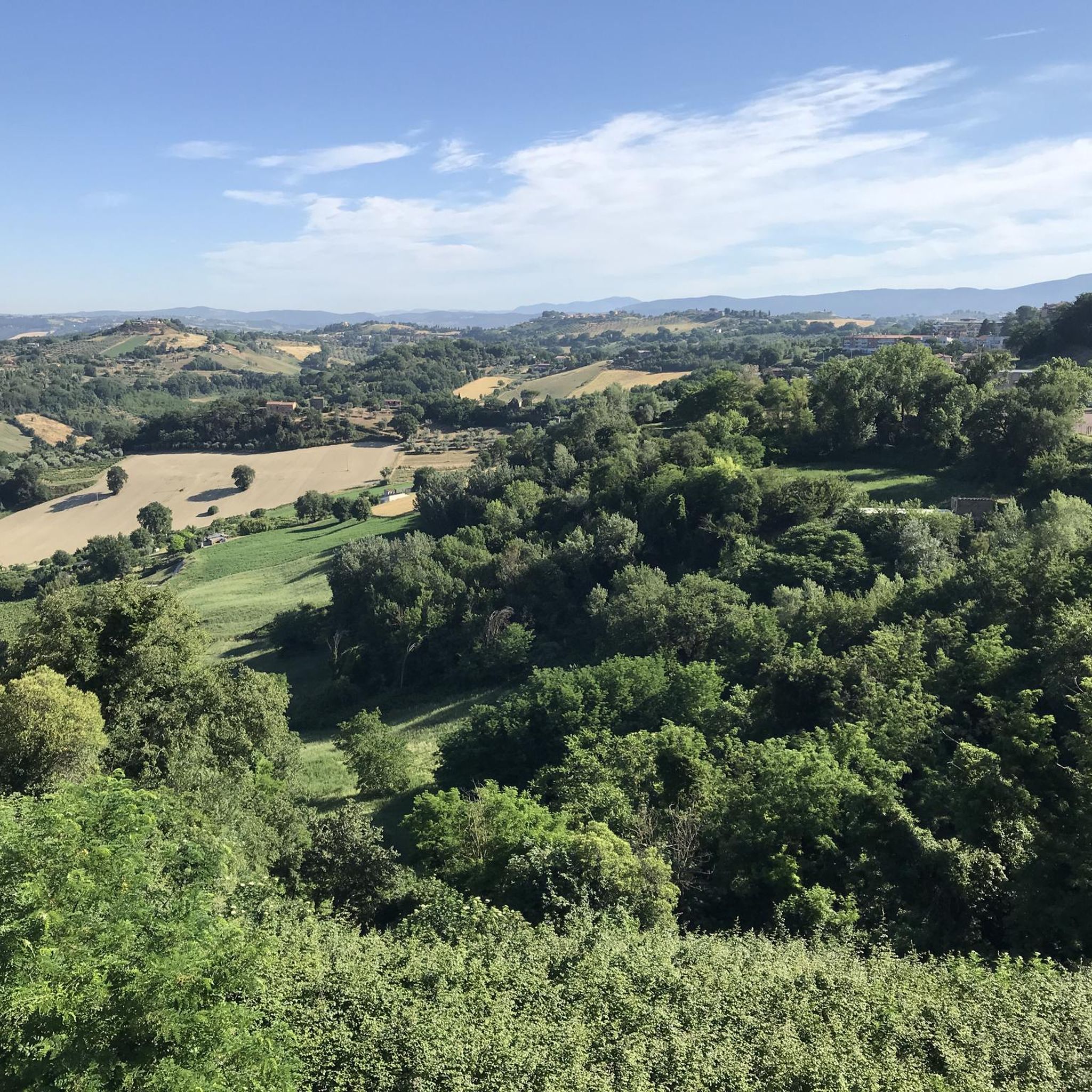

Other adventures around Magliano Sabina

Tips from the Community

A castle village absolutely worth seeing. Very original.
0
0

The remains of the ancient Roman city, crossed by the Via Flaminia and lapped by a bend of the Tiber, are set in a natural landscape of remarkable beauty, a perfect synthesis of archeology and nature with a centuries-old history.
0
0

Drinking water fountain with small jet
0
0

This splendid archaeological park from the Roman era can be visited all year round for free. The park extends for 36 hectares from the nearby bend of the Tiber to under the modern Otricoli. Right on the Tiber river there are still the remains of the used Oil Port active until the 16th century. The remains of what were once thermal baths, amphitheaters and villas are perfectly preserved and extraordinarily integrated into the natural context of the area.
2
0

It is worth taking a break at the summit cross.
0
0

Small village on the Unbri hills
0
0

nice from late spring to early autumn
0
0
Lovely place inside a archeologica park with a lovely view of the Tiber
2
0
Frequently Asked Questions
How many hiking trails are available around Magliano Sabina?
There are over 40 hiking trails in the Magliano Sabina area, offering a variety of experiences for different skill levels. These routes explore diverse landscapes, from ancient Roman ruins to panoramic mountain views.
What kind of terrain can I expect on hikes around Magliano Sabina?
The terrain around Magliano Sabina is varied, featuring rolling wooded hills, cultivated fields of olive groves and vineyards, and the valley of the ancient Tiber River. You'll also find trails with the dramatic backdrop of the Subapennine range, including Monte Cosce and Monte San Pancrazio. Some routes explore archaeological sites, while others ascend hills for panoramic views.
Are there any easy or family-friendly hiking options in Magliano Sabina?
Yes, Magliano Sabina offers several easy routes suitable for families. For instance, the Ocriculum Roman Baths – The Great Substructures loop from Otricoli is an easy 2.9-mile (4.7 km) trail exploring ancient Roman ruins along the Tiber River. There are 9 easy routes in total, perfect for a relaxed outing.
What are some notable historical or natural attractions to see while hiking?
Hikers can explore the ruins of the ancient Roman city at the Ocriculum Archaeological Park, which includes Roman baths and a theatre. The area also features prominent natural landmarks like Mount Soratte, home to the Hermitage of Saint Sylvester and the historical Monte Soratte Bunker. The nearby hamlet of Foglia, perched above the Tiber, is also a beautiful sight.
Are there any circular hiking routes available?
Yes, many routes around Magliano Sabina are circular. For example, the The Great Substructures – Roman Theatre of Ocriculum loop from Otricoli is a 3.0-mile (4.8 km) circular trail through the archaeological park. Another option is the Convent of Sant'Andrea loop from Collevecchio, a moderate 9.5 km route.
What do other hikers enjoy most about hiking in Magliano Sabina?
The hiking routes in Magliano Sabina are highly rated by the komoot community, with an average score of 4.3 stars from over 390 reviews. Hikers often praise the blend of ancient history with beautiful natural landscapes, the panoramic views, and the variety of trails suitable for different fitness levels.
Can I bring my dog on the hiking trails?
While specific regulations for each trail may vary, the natural environment of Magliano Sabina generally welcomes dogs. Many trails pass through open countryside, olive groves, and wooded areas. It's always advisable to keep your dog on a leash, especially in areas with wildlife or near cultivated fields, and to check for any local signage.
What is the best time of year to go hiking in Magliano Sabina?
Magliano Sabina offers hiking opportunities throughout the year. Spring and autumn provide pleasant temperatures for exploring the olive groves and historical sites. Summer can be warm, but higher elevation hikes like those on Mount Soratte offer cooler conditions. Winter can even offer possibilities for snowshoeing in the broader Sabina region's higher mountains like Mount Terminillo.
Are there opportunities for wildlife spotting or birdwatching?
Yes, the region is rich in biodiversity. The protected natural habitats, parks, and nature reserves in the broader Sabina area support diverse flora and fauna. You might spot wild boars, porcupines, and various lizards. It's also excellent for birdwatching, with species like the Sardinian Warbler, nightingale, cuckoo, European Bee-eater, and even Golden Eagles soaring above the Parco regionale naturale dei Monti Lucretili.
Are there any challenging hikes for experienced hikers?
Yes, for experienced hikers seeking a challenge, the Sant'Oreste Fitness Trail loop from Mount Soratte is a difficult 9.1-mile (14.7 km) path. This trail ascends Mount Soratte, offering significant elevation gain, panoramic views, and access to historical sites like the Hermitage of Saint Sylvester. There are 12 difficult routes in total.
Are there places to eat or drink near the hiking trails?
Magliano Sabina and nearby towns like Otricoli offer various cafes, restaurants, and pubs where you can refuel after your hike. The region is known for its local cuisine and olive oil production, providing opportunities to enjoy regional specialties.
How can I get to the trailheads using public transport?
While specific public transport options to every trailhead may vary, Magliano Sabina is generally accessible by local bus services. For detailed information on routes and schedules, it's best to consult local transport providers or check resources like Visit Lazio for general travel advice to the area.
Most popular routes around Magliano Sabina
Most popular attractions around Magliano Sabina

Get inspired with the komoot mobile app


Explore more
Browse the best Hikes in other regions.
