The best road cycling routes around Monterotondo Marittimo
4.7
(310)
7,340
riders
14
rides
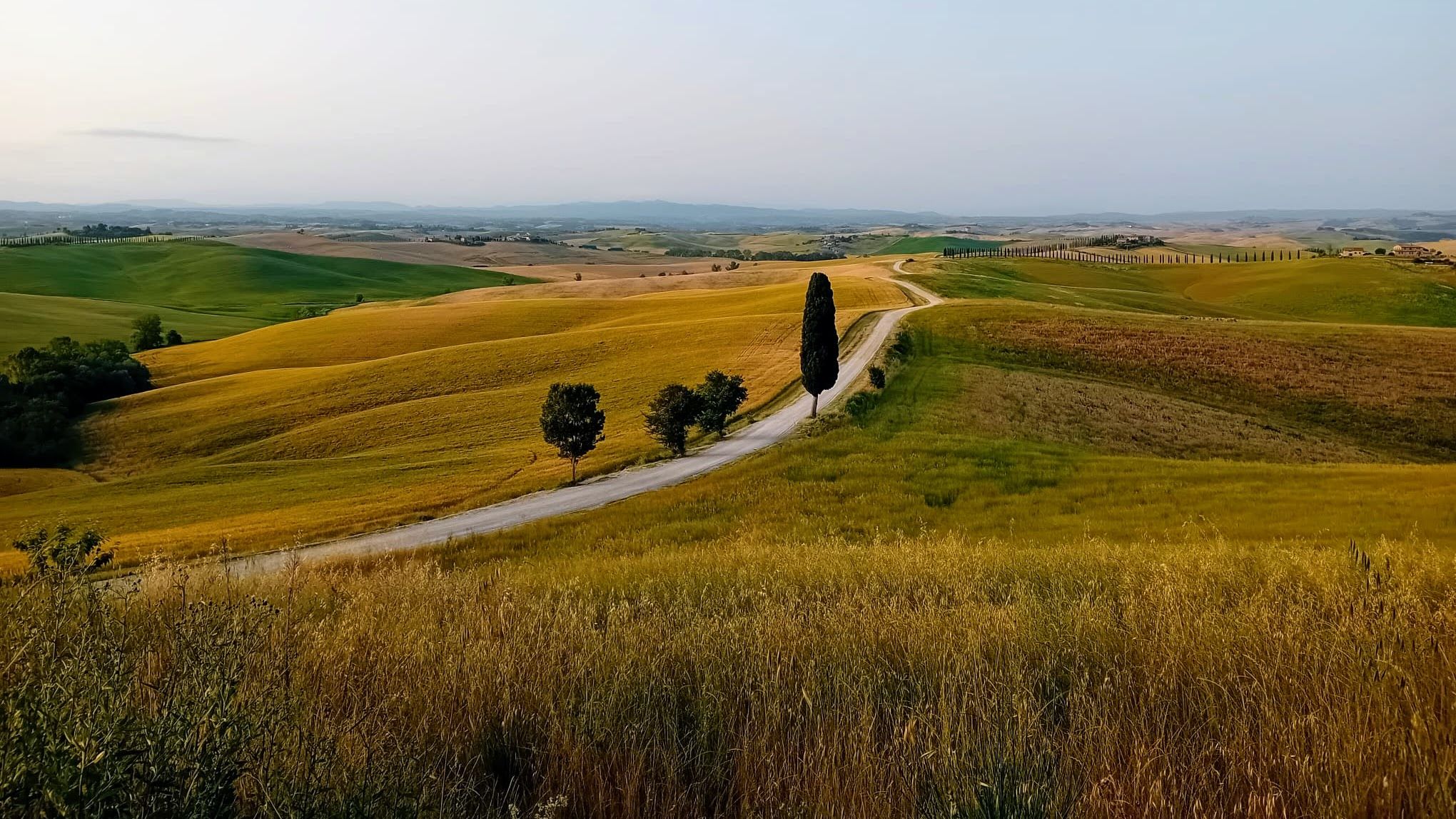
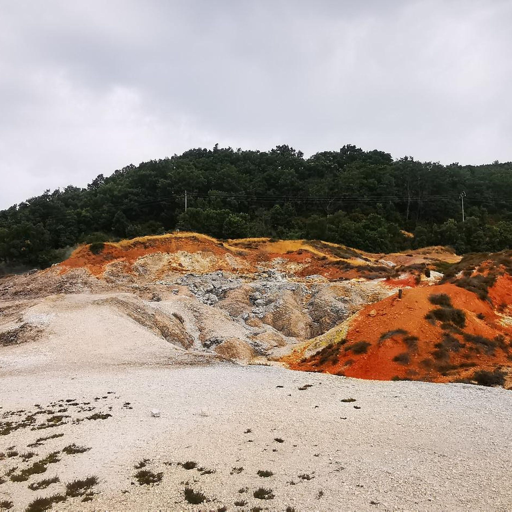
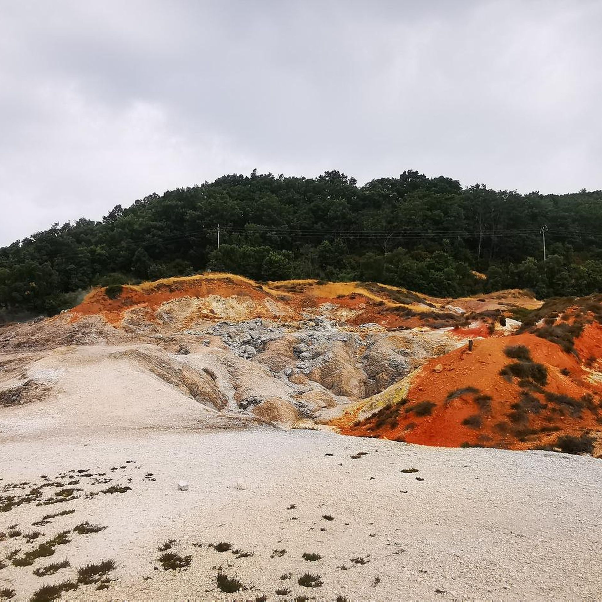
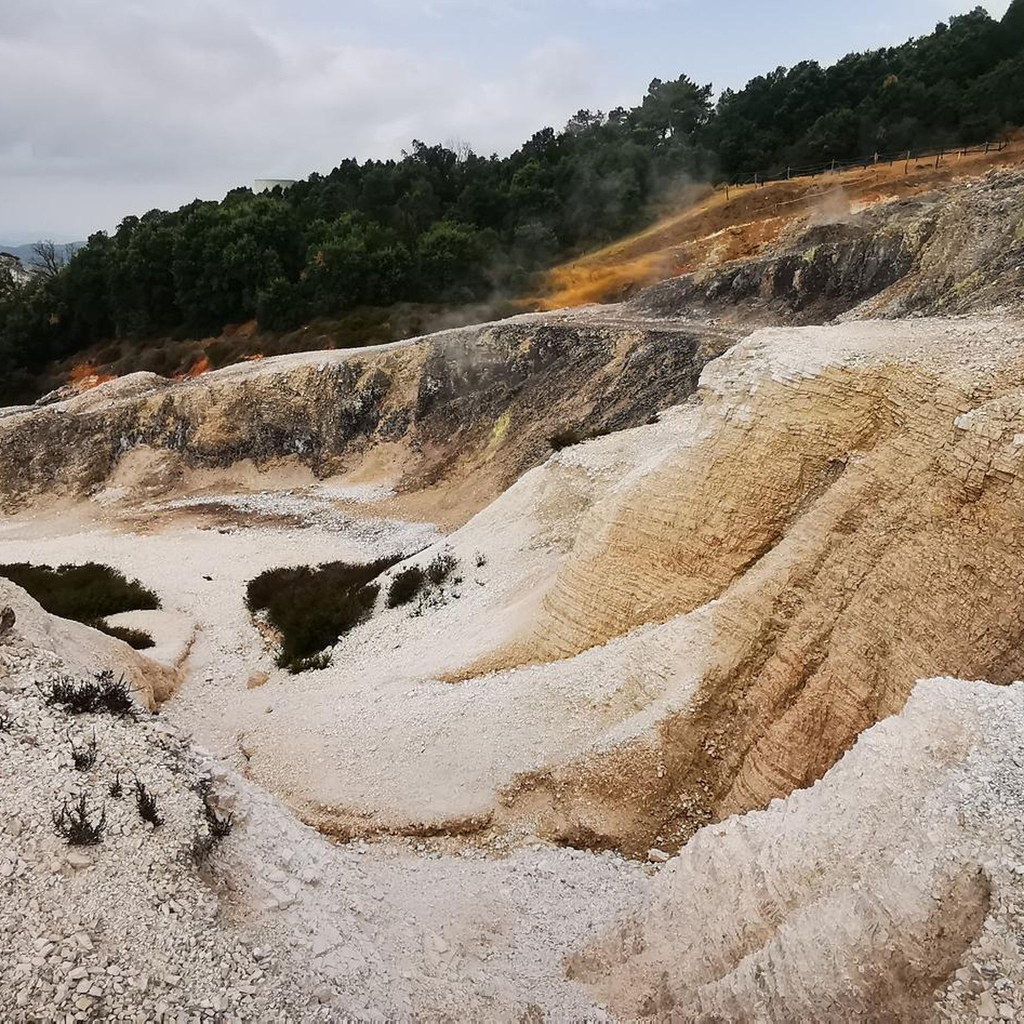
Road cycling around Monterotondo Marittimo offers varied terrain within Tuscany's Metalliferous Hills. The region features a unique landscape characterized by active geothermal fields, including the Biancane Natural Park with its fumaroles and white rock formations. Extensive Mediterranean scrub, chestnut woods, ancient olive groves, and vineyards define the surrounding areas, providing diverse backdrops for road cycling. The routes navigate rolling hills and winding roads, presenting options for different fitness levels.
Best road cycling routes around Monterotondo Marittimo
- The most popular road…
Last updated: July 8, 2026
4.6
(12)
176
riders
Moderate road ride. Good fitness required. Some segments of this route may be unpaved and difficult to ride.
47
riders
86.1km
03:45
790m
790m
Moderate road ride. Good fitness required. Mostly well-paved surfaces and easy to ride.

Sign up for free
5.0
(1)
40
riders
Hard road ride. Very good fitness required. Some segments of this route may be unpaved and difficult to ride.
5.0
(3)
47
riders
48.7km
02:37
960m
970m
Hard road ride. Very good fitness required. Mostly well-paved surfaces and easy to ride.
23
riders
37.0km
02:06
810m
810m
Moderate road ride. Good fitness required. Mostly well-paved surfaces and easy to ride.
Get access to more routes and recommendations from other explorers.
Sign up for free
Already have an account?
Our route recommendations are based on thousands of hikes, rides, and runs completed by other people on komoot.
Start today with a free account
Your next adventure awaits.
Login or Signup

Other adventures around Monterotondo Marittimo

Tips from the Community

The Montioni Interprovincial Park (also known as Montioni Natural Park) is a protected natural area of approximately 7,000 hectares located straddling the provinces of Livorno and Grosseto. The park is famous for its dense Mediterranean scrub dominated by holm oak woods and houses important historical and mining evidence within it, particularly related to the Napoleonic period and the extraction of alum.
0
0
A medieval village in the northern Maremma, between ancient ruins, geysers and boraciferous fumaroles Lost in the Colline Metallifere, hidden among chestnut woods, stands the medieval village of Monterotondo Marittimo, which owes its name, Mons Ritundus, to the conical shape of the hill on which it stands. The territory of this municipality marks the intersection of three different provinces: Pisa, Livorno, and Grosseto. Surrounded by Mediterranean scrub, which extends towards the sea, it is a perfect destination for all lovers of clean air and natural beauty. The origin of the village is certainly medieval, demonstrated both by the characteristics of the narrow streets and by the conformation of the inhabited area, in fact the houses are built close together and the outermost dwellings were built on the defensive walls. In the territory there are also springs of bicarbonate-calcium water that gush out at 43°, used until a few years ago for thermal purposes at the Terme del Bagnolo.
0
0
The Monteregio di Massa Marittima is a Denominazione di Origine Controllata (DOC) established in 1994 that identifies wines produced in the Alta Maremma Grossetana, in Tuscany. The production area entirely includes the municipalities of Massa Marittima and Monterotondo Marittimo, and partially Follonica, Scarlino, Gavorrano, Roccastrada and Castiglione della Pescaia
0
0

A truly stunning place both for its nature and landscape and for mountain bike lovers, with many trails for all abilities.
1
0
The Accesa area is also extremely significant from an archaeological perspective. Near the lake, in the Macchia del Monte area, numerous excavations were carried out as early as the 1930s, and resumed in the 1980s, bringing to light numerous remains of four Etruscan villages dating from the 9th to the 6th century BC. The buildings of the various settlements, of which only the foundations are visible, are gathered in scattered groups within a rather large area. Given their location, it is hypothesized that these villages were linked to mining, especially copper from the Fenice Capanne and Serrabottini mines. It is also thought that these mining villages were mining outposts that were subordinate to the large center of Vetulonia, to which they supplied raw materials. In addition to the complexes intended for housing and mining, many tombs of various types (pit, pit, circle, and chamber) were also discovered.
1
0
Approximately 10 km from Massa Marittima, we find Lago dell'Accesa, of great naturalistic, environmental, and historical-archaeological interest, so much so that its evocative atmosphere has given rise to numerous legends. Of karst origin, the lake is approximately 38 meters deep and feeds the Bruna River, its only estuary. Besides being suitable for swimming, it offers refreshing summer refreshment thanks to the typical vegetation surrounding it, consisting of reeds, rushes, poplars, and eucalyptus trees, as well as typical Mediterranean scrub. It is an ideal place for pleasant walks along the shore and in the surrounding area. The crystal-clear waters are populated by a diverse fish fauna, including trout, pike, carp, and perch, as well as an equally rich population of aquatic birds. The Accesa area is also extremely significant from an archaeological perspective. Near the lake, in the Macchia del Monte area, numerous excavations were carried out, uncovering three Etruscan settlements.
1
0
The road is a quiet provincial road with little traffic and beautiful hilly landscapes. The Marsiliana State Reserve is part, for a large stretch, of the Montioni Natural Park and extends for approximately 450 hectares in a vast hilly area. An area for the protection of the hilly landscape and the "Maremma horse." Managed by the State Forestry Corps, the Marsiliana State Reserve extends around the villa of the same name and includes woods, Mediterranean scrub, pastures, and olive groves.
1
0
The Accesa area is also extremely significant from an archaeological perspective. Near the lake, in the Macchia del Monte area, numerous excavations were carried out as early as the 1930s, and resumed in the 1980s, bringing to light numerous remains of four Etruscan villages dating from the 9th to the 6th century BC. The buildings of the various settlements, of which only the foundations are visible, are gathered in scattered groups within a rather large area. Given their location, it is hypothesized that these villages were linked to mining, especially copper from the Fenice Capanne and Serrabottini mines. It is also thought that these mining villages were mining outposts that were subordinate to the large center of Vetulonia, to which they supplied raw materials. In addition to the complexes intended for housing and mining, many tombs of various types (pit, pit, circle, and chamber) were also discovered.
1
0
Frequently Asked Questions
How many road cycling routes are available around Monterotondo Marittimo, and what are their difficulty levels?
There are over 15 road cycling routes available around Monterotondo Marittimo. The terrain offers a mix of challenges, with 12 routes rated as moderate and 5 routes considered difficult, catering to various fitness levels.
What unique natural attractions or scenic viewpoints can I expect to see while road cycling in this region?
The region is renowned for its unique geothermal landscape. You can experience the surreal environment of the Biancane Natural Park, a UNESCO Geopark site, with its fumaroles and white rock formations. Many routes offer panoramic views of the Tuscan hills, Mediterranean scrub, and chestnut woods. For specific viewpoints, consider exploring highlights like the Trail to the Le Cornate summit or the Monte Calvi summit and panoramic view.
Are there any routes suitable for advanced road cyclists looking for significant elevation gain?
Yes, Monterotondo Marittimo offers challenging routes with substantial elevation gain. For instance, the Historic Village of Sassetta – View of the Tuscan Hills loop from Monterotondo Marittimo is a difficult 72.1 km path featuring over 1200 meters of ascent, providing panoramic views of the Tuscan landscape.
What kind of historical or cultural sites can be found along the road cycling routes?
Beyond the natural beauty, the area is rich in history. You might encounter sites like the thirteenth-century Romanesque church of Santa Croce, the ruins of the Castle of Cugnano, or the Sanctuary of the Madonna del Frassine. The nearby ancient village of Sasso Pisano also offers a glimpse into the region's past.
When is the best time of year for road cycling in Monterotondo Marittimo?
The Mediterranean climate makes spring and autumn ideal for road cycling in Monterotondo Marittimo. During these seasons, temperatures are pleasant, and the landscapes are vibrant, offering comfortable conditions for longer rides. Summer can be warm, but early morning rides are still enjoyable.
Are there any long-distance road cycling routes available?
Yes, there are several long-distance options for road cyclists. The Historic Center of Suvereto – Baratti Beach loop from Monterotondo Marittimo is a notable 87.8 km trail that takes you through the historic center of Suvereto and extends towards the coast at Baratti Beach.
What do other road cyclists enjoy the most about road cycling in Monterotondo Marittimo?
The komoot community highly rates road cycling in Monterotondo Marittimo, with an average score of 4.6 stars from over 120 reviews. Cyclists often praise the varied terrain, the unique geothermal scenery, and the winding roads through picturesque olive groves and vineyards.
Are there any circular road cycling routes in the area?
Many of the road cycling routes around Monterotondo Marittimo are designed as loops, offering convenient circular journeys. An example is the View of the Tuscan Hills – Historic Village of Sassetta loop from Frassine, a 38.1 km route that provides scenic views and passes through the historic village of Sassetta.
Can I find routes that combine scenic paved roads with descents?
Absolutely. The region's hilly landscape naturally lends itself to routes featuring both climbs and rewarding descents. The Scenic Paved Road Descent – Fattoria di Vecchienne loop from Frassine is a difficult 53.5 km route that includes a significant paved road descent, offering an exhilarating experience.
Are there any routes that pass by lakes or other water features?
Yes, some routes will take you past local water features. For example, the Strada della Marsiliana – Lago dell'Accesa loop from Campetroso W is an 86.1 km moderate route that includes the beautiful Lago dell'Accesa.
What kind of landscapes will I encounter on the road cycling routes?
You'll experience a diverse range of landscapes, from the striking geothermal fields of Biancane Natural Park to extensive Mediterranean scrub and dense chestnut woods. The routes also wind through ancient olive groves and vineyards, characteristic of the Monteregio Wine Trail, offering a rich tapestry of Tuscan scenery.
Most popular routes around Monterotondo Marittimo
Most popular attractions around Monterotondo Marittimo

Get inspired with the komoot mobile app


Explore more
Browse the best Road cycling routes in other regions.
