The best cycling routes around Montemignaio
4.7
(379)
2,008
riders
99
rides
Touring cycling around Montemignaio offers routes through diverse landscapes within the Pratomagno massif, characterized by extensive forests of spruce, pine, beech, and chestnut. The area features varied gradients, including challenging climbs and descents, providing a suitable environment for cyclists seeking physical engagement. Terraced landscapes and wide views across the Casentino and Valdarno valleys are common along the routes. This region provides a setting for exploring natural features and historical pathways by bike.
Best touring cycling routes around Montemignaio
- The most…
Last updated: June 29, 2026
4.9
(7)
99
riders
38.0km
03:29
1,010m
1,010m
Hard bike ride. Very good fitness required. Mostly paved surfaces. Suitable for all skill levels.
4.0
(2)
50
riders
41.0km
04:18
1,270m
1,280m
Hard bike ride. Very good fitness required. You may need to push your bike for some segments of this route.

Sign up for free
4.8
(5)
42
riders
59.1km
04:21
1,250m
1,250m
Hard bike ride. Very good fitness required. Mostly paved surfaces. Suitable for all skill levels.
5.0
(1)
39
riders
39.2km
04:01
1,100m
1,100m
Hard bike ride. Very good fitness required. You may need to push your bike for some segments of this route.
5.0
(1)
19
riders
25.0km
02:12
580m
580m
Hard bike ride. Very good fitness required. Mostly paved surfaces. Suitable for all skill levels.
Get access to more routes and recommendations from other explorers.
Sign up for free
Already have an account?
Our route recommendations are based on thousands of hikes, rides, and runs completed by other people on komoot.
Start today with a free account
Your next adventure awaits.
Login or Signup

Tips from the Community

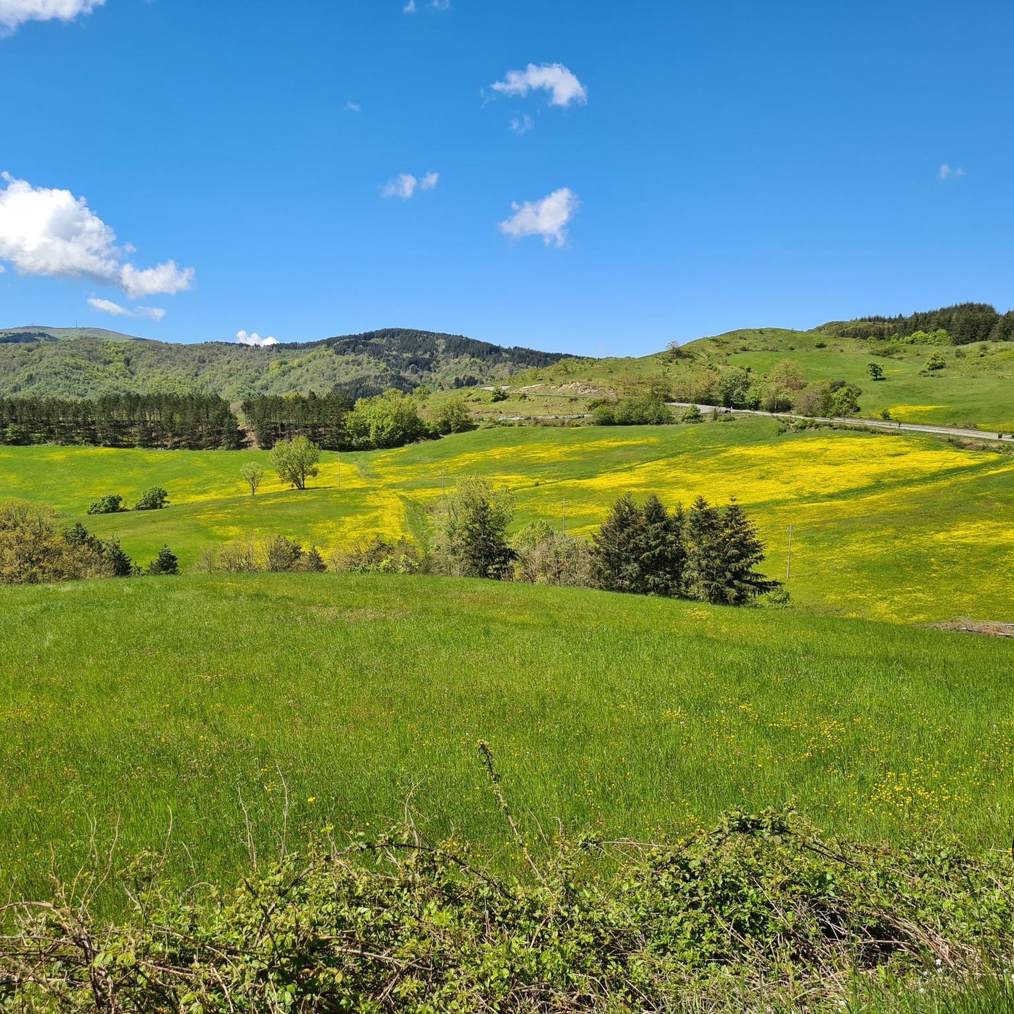
Mount Secchieta lies between the municipalities of Reggello and Montemignaio. The peak, approximately 1,500 meters above sea level, is part of the Pratomagno ridge and separates the Casentino valley from the Upper Valdarno valley. There is a refuge there, which can also be reached by a paved road.
0
0
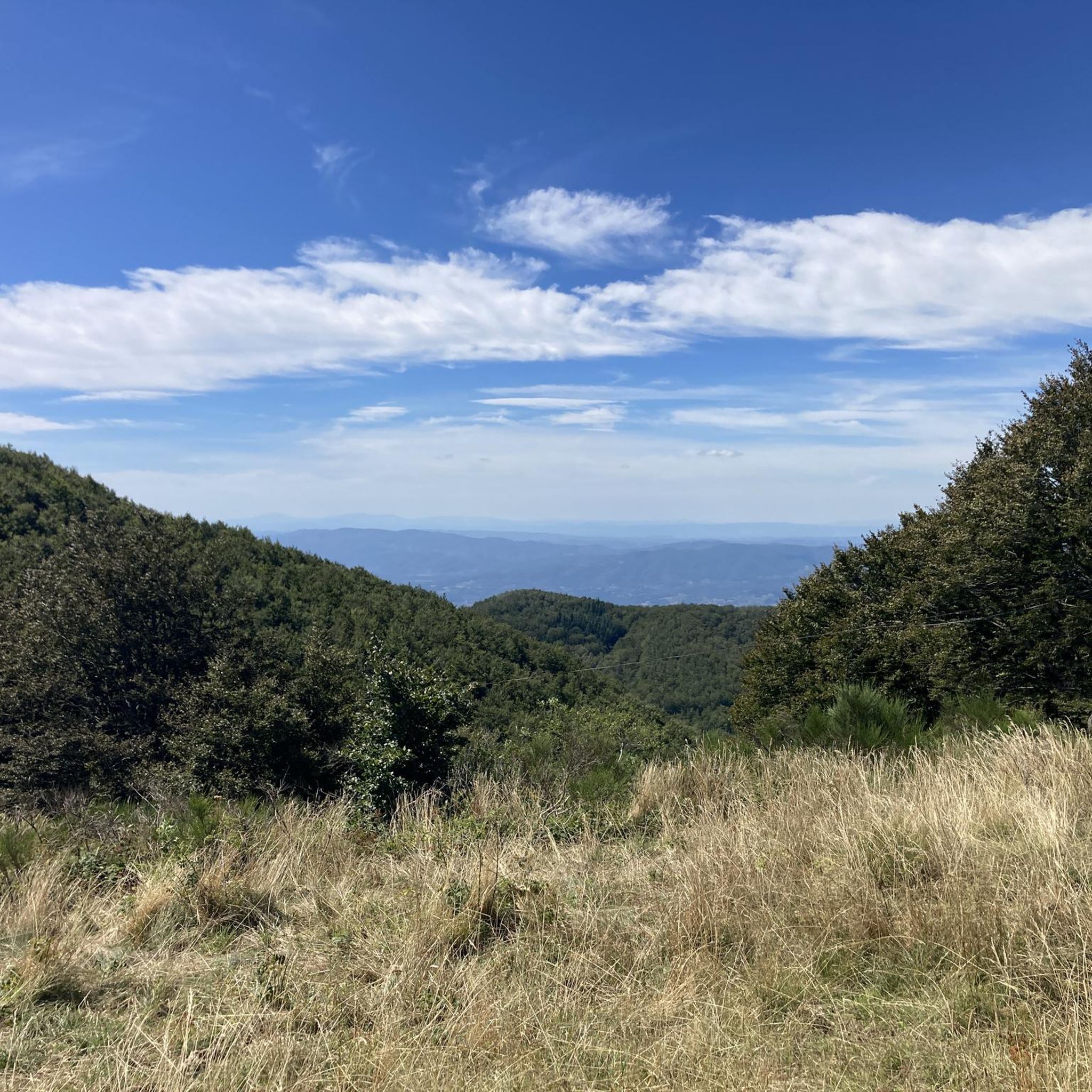
Up here, fluttering like wild grass, I feel like I'm at the end of the world. Everything around me is… unfamiliar, yet reassuring. I can even imagine things that aren't there, and all this thanks to the effort of getting up here, because effort also makes us clear-headed.
0
0
Just below the Prato Magno cross, if you wish, you can descend by portaging a bit to the paved road normally used for road bikes, which allows you to pass through a tunnel. For this tour, we decided to head in the Celtic direction toward Vallombrosa, following a very wide, hard-surfaced forest road.
0
0

Rifugio Secchieta, with its cyclist museum featuring many interesting jerseys. The sandwiches are excellent, and the view is beautiful.
0
0
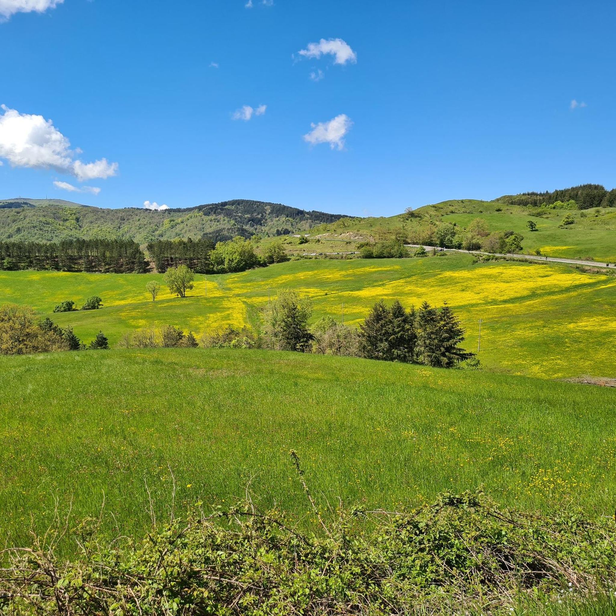
It covers an area of 1,273 hectares in the Metropolitan City of Florence on the western slope of the Pratomagno massif, specifically in the Municipality of Reggello. It extends from the town of Tosi, 470 meters above sea level, to Mount Secchieta, 1,440 meters above sea level.
0
0
Unfortunately, we encountered fog and couldn't admire the view of the Valdarno, where we might have even spotted Florence. However, this way it's even more evocative as it feels like we're suspended in mid-air.
0
0


Frequently Asked Questions
How many touring cycling routes are available around Montemignaio?
There are nearly 100 touring cycling routes around Montemignaio listed on komoot. These routes offer diverse landscapes within the Pratomagno massif, catering to cyclists seeking physical engagement.
What is the typical difficulty level of touring cycling routes in Montemignaio?
The majority of touring cycling routes in Montemignaio are classified as difficult, with 83 out of 96 routes falling into this category. There are also 13 moderate routes, but no easy routes, indicating the area is best suited for cyclists looking for a physical challenge.
What kind of terrain can I expect on touring cycling routes in Montemignaio?
You can expect varied gradients with significant climbs and descents, as Montemignaio is situated on the slopes of the Pratomagno massif. Routes often pass through extensive forests of spruce, pine, beech, and chestnut, offering shaded paths and fresh air. You'll also encounter terraced landscapes, wide views across the Casentino and Valdarno valleys, and potentially historic mule tracks.
What are some notable natural features or landmarks to see while cycling around Montemignaio?
While cycling, you can explore natural monuments like the Pratomagno Summit Cross, offering expansive 360-degree panoramas. Other natural highlights include the ancient Faggio Santo (Sacred Beech Tree) and the majestic Douglas Fir Giants of Vallombrosa. The area also features the Secchieta Hut, a point of interest on Monte Secchieta.
Are there any cultural or historical sites accessible by bike in Montemignaio?
Yes, the region has a rich history. You can visit the Romanesque Parish Church of Santa Maria Assunta, dating back to the 11th or 12th century, or the Oratory of Santa Maria delle Calle. These sites offer interesting breaks and insights into the region's past, often located along or near historic routes.
What do other touring cyclists enjoy most about Montemignaio?
The touring cycling routes in Montemignaio are highly rated by the komoot community, with an average score of 4.7 stars from over 400 reviews. Cyclists often praise the challenging mountain passes, the extensive forests, and the panoramic views of the valleys, which provide a rewarding and immersive experience.
Are there any circular touring cycling routes around Montemignaio?
Yes, many routes are designed as loops. For example, the Passo della Consuma – Vallombrosa Abbey loop from Pomino is a popular 38.1 km trail that takes you through mountainous terrain and past historic sites. Another option is the Secchieta Hut – Consuma Pass loop from Saltino, covering 39.2 km with significant elevation changes.
What is the best season for touring cycling in Montemignaio?
The extensive woodlands around Montemignaio provide shaded routes, fresh air, and a tranquil atmosphere, making it ideal for long cycling tours. Spring and autumn generally offer pleasant temperatures for tackling the challenging ascents and descents, while summer can be enjoyable with the natural shade provided by the forests.
Are there any family-friendly touring cycling routes in Montemignaio?
Given that 83 out of 96 routes are classified as difficult and there are no easy routes, Montemignaio's touring cycling options are primarily suited for experienced cyclists seeking a challenge. However, some of the 13 moderate routes might be manageable for families with older, more experienced children who are comfortable with varied terrain and elevation changes.
Can I reach Montemignaio by public transport for cycling tours?
While the region is well-connected for cycling, specific public transport options directly to Montemignaio for cyclists are limited. It's often more practical to drive to a starting point or consider routes that connect from larger towns with better public transport links, such as those accessible from the Consuma pass or Strada in Casentino.
Where can I find parking for touring cycling routes in Montemignaio?
Parking availability can vary by specific starting points. Many routes begin in or near villages like Tosi or Pomino, where local parking might be available. For routes accessing the Pratomagno massif, look for designated parking areas near trailheads or popular access points, such as those leading towards Monte Secchieta.
Are there any specific bike parks or MTB trail areas nearby for different cycling experiences?
Yes, if you're looking for dedicated bike park experiences, the Bike Parks around Montemignaio guide lists options such as the Rincine MTB Trail Area and the Ratio Trail. These areas offer different types of cycling terrain, including singletracks and forest roads like the Santa Caterina Forest Road to Monte Secchieta.
Most popular routes around Montemignaio
Most popular attractions around Montemignaio

Get inspired with the komoot mobile app


Explore more
Browse the best Cycling routes in other regions.
