The best running trails around Castelraimondo
4.4
(14)
514
runners
99
runs
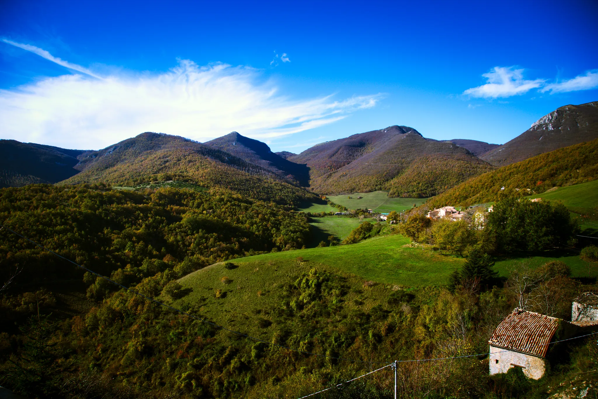
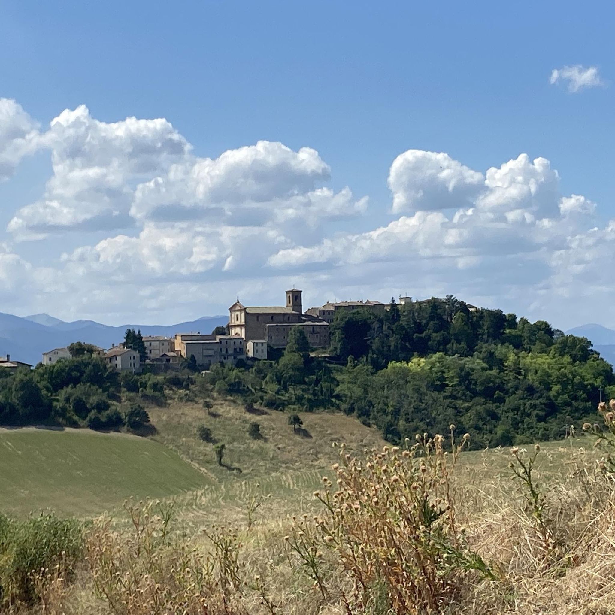
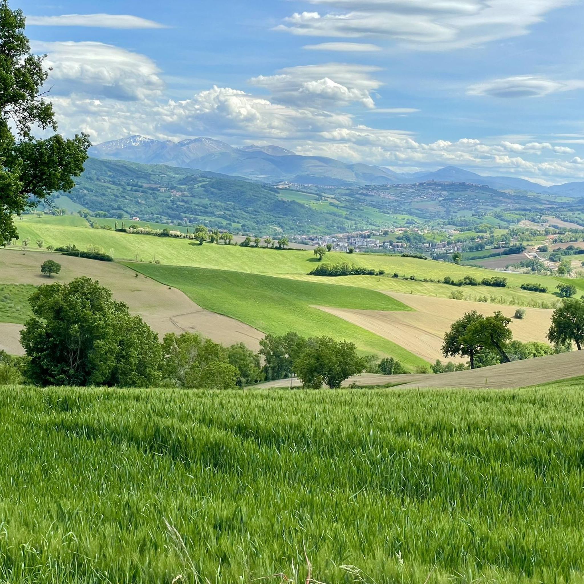
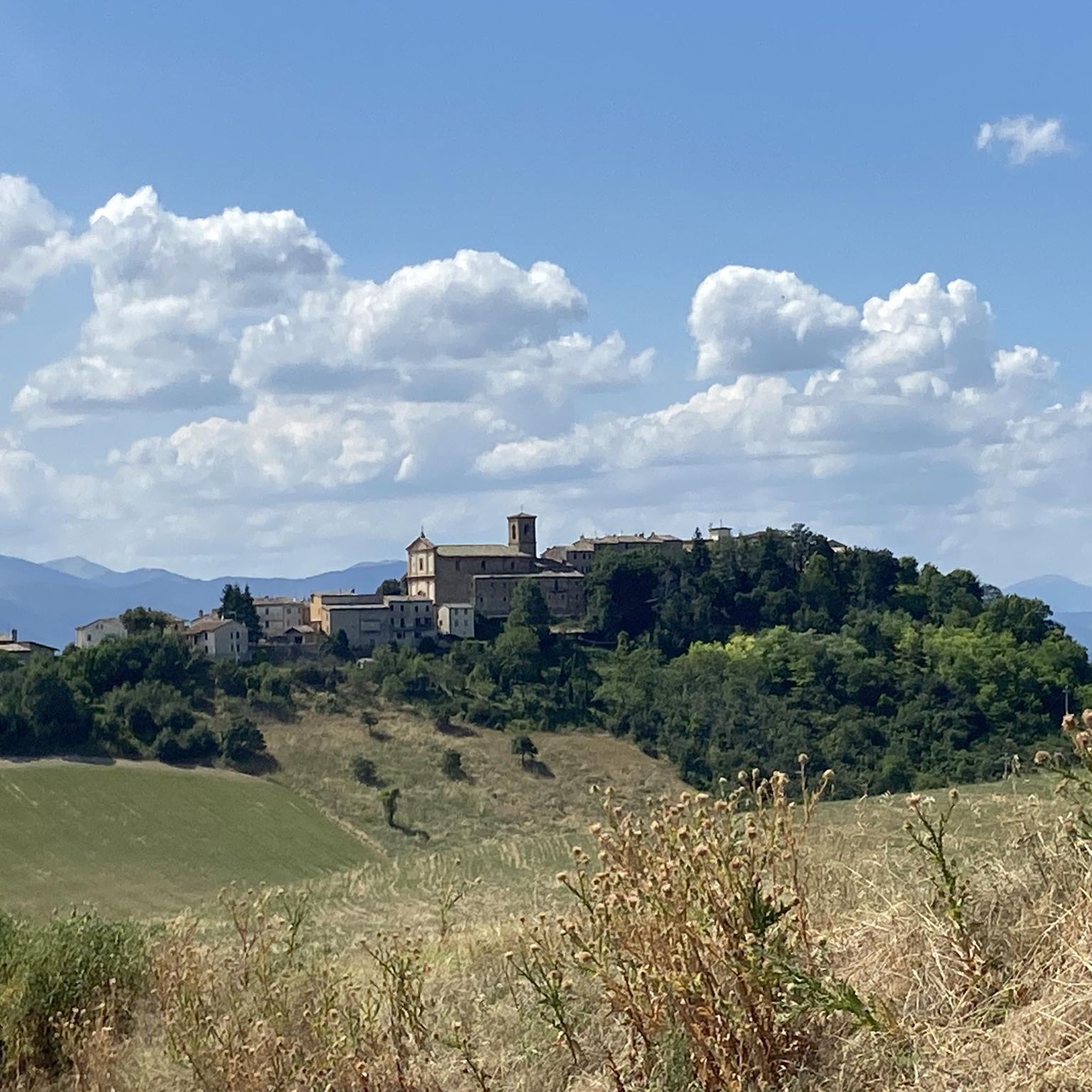
Jogging routes around Castelraimondo traverse a landscape characterized by rolling hills, olive groves, and vineyards in Italy's Marche region. The area features accessible trails along the Potenza River and extends into mountainous terrain, with peaks reaching over 1,200 meters above sea level. This diverse topography offers a range of running experiences, from gentle paths to more challenging ascents. The region provides a natural setting for outdoor activities, including running, with varied elevations and scenic views.
Best jogging routes around Castelraimondo
…Last updated: July 8, 2026
1
runners
7.99km
01:07
340m
340m
Hard run. Very good fitness required. Mostly accessible paths. Some sure footedness required.
12
runners
8.17km
00:52
60m
60m
Moderate run. Good fitness required. Mostly accessible paths. Some sure footedness required.

Sign up for free
4
runners
4.47km
00:29
70m
70m
Easy run. Great for any fitness level. Mostly paved surfaces. Suitable for all skill levels.
6
runners
11.1km
01:14
230m
230m
Moderate run. Good fitness required. Mostly paved surfaces. Suitable for all skill levels.
4.0
(1)
7
runners
20.0km
02:12
380m
380m
Hard run. Very good fitness required. Mostly paved surfaces. Suitable for all skill levels.
Get access to more routes and recommendations from other explorers.
Sign up for free
Already have an account?
Our route recommendations are based on thousands of hikes, rides, and runs completed by other people on komoot.
Start today with a free account
Your next adventure awaits.
Login or Signup

Other adventures around Castelraimondo

Tips from the Community

The Torre del Cassero was built between 1311 and 1385 as part of the Castrum Raymundi complex. This fortress was part of the defensive system called "dell'Intagliata", made up of towers, moats and walls, to protect Camerino during the wars with the nearby towns of San Severino and Matelica. Il Cassero rises to over 35 meters in height. Over time, the tower became the bell tower of the adjacent church of San Biagio, which also incorporated the remains of the few remaining walls.
1
0

Pioraco is a small town at 443 meters, where the Potenza river passes through some rapids. Every 8 June the feast of the patron S. Vittorino is celebrated.
0
0
The Potenza river rises from Monte Pennio at about 800 meters, and is 95 kilometers long. There is a small dam at this point.
1
0

Matelica is located in the center of the Upper Esino Valley and is the city of honey. This city has an ancient history, you can see numerous traces of the past in the streets of the center.
1
0
Frequently Asked Questions
How many running routes are available around Castelraimondo?
There are over 70 running routes around Castelraimondo listed on komoot, offering a wide range of options for different fitness levels and preferences. These include easy, moderate, and difficult trails through varied landscapes.
Are there any easy or beginner-friendly jogging routes in the area?
Yes, Castelraimondo offers several easy running routes suitable for beginners. While many routes feature rolling hills, there are options with gentler elevation changes. For instance, the region has 4 routes specifically classified as easy, providing a good starting point for new runners or those seeking a less strenuous experience.
Can I find circular running trails near Castelraimondo?
Absolutely. Many of the running routes around Castelraimondo are circular, allowing you to start and end in the same location. An example is the Mosaico romano loop from Matelica, a moderate 9.5 km path that offers a balanced running experience.
What kind of scenery can I expect on the running trails around Castelraimondo?
The running trails around Castelraimondo offer diverse and picturesque scenery. You'll encounter rolling hills, lush olive groves, and vineyards, with panoramic views of the surrounding mountains, some reaching over 1,200 meters. Many routes also follow river valleys, such as along the Potenza River, providing tranquil waterside views.
Are there any running routes with good viewpoints?
Yes, the mountainous terrain around Castelraimondo provides excellent opportunities for routes with stunning viewpoints. Areas like Monte Gemmo offer extensive views, and the Monte Pulcino highlight is specifically noted as a viewpoint. The 14th-century Cassero watchtower in Castelraimondo itself also offers panoramic vistas.
Are the running routes around Castelraimondo suitable for families?
Many routes around Castelraimondo are suitable for families, especially those looking for an active outing. While some trails are challenging, there are easier options that can be enjoyed by various fitness levels. Consider routes with less elevation gain and shorter distances for a family-friendly experience.
What are some interesting natural attractions or landmarks to see while running?
While running, you can explore several natural and historical attractions. The region is close to the Monti Sibillini National Park, known for its tranquil lakes and rolling hills. You might also encounter highlights like the Piani di Montelago natural monument or the Abbey and Cave of Sant'Eustachio. The Jana Gorge, with its waterfalls and crystalline pools, also offers enchanting natural settings for exploration.
What do other runners say about the trails in Castelraimondo?
The running trails in Castelraimondo are highly regarded by the komoot community, with an average rating of 4.5 stars from over 10 reviews. Runners often praise the varied terrain, from river valleys to rolling hills, and the beautiful panoramic views of the surrounding mountains. Over 400 runners have used komoot to explore the area's diverse routes.
Are there any longer running routes for experienced runners?
Experienced runners will find plenty of challenging options. For example, the Sorgente Bagno loop from Pioraco is a difficult 19.6 km trail that leads through natural springs and river valleys, typically taking over two hours to complete. There are 39 routes classified as difficult, offering significant elevation changes and longer distances.
What is the best season for jogging in Castelraimondo?
Castelraimondo offers pleasant jogging conditions across multiple seasons. Spring and autumn provide mild temperatures and vibrant landscapes, ideal for exploring. Summer can be warm, but early morning or late evening runs are enjoyable, especially along shaded river paths. Even winter offers opportunities, though some higher elevation trails might require appropriate gear.
Are there any running routes that start from Matelica?
Yes, if you're starting from Matelica, there are excellent running options. The Running loop from Matelica is a moderate 11.0 km route with balanced elevation changes, perfect for exploring the area around the town.
Is public transport available to access the running trails?
While specific public transport links directly to every trailhead might vary, Castelraimondo itself is accessible by local transport. Many routes are designed to start from the town center or nearby villages, making them reachable. It's advisable to check local bus schedules for connections to specific starting points if you plan to rely on public transport.
Are there any historical sites or cultural points of interest near the running paths?
Beyond the natural beauty, the region is rich in history. You might pass by the Piazza del Popolo in San Severino Marche, a significant historical site. The Braccano Murals Village also offers a unique cultural experience with its painted houses, providing an interesting detour or destination for a run.
Most popular attractions around Castelraimondo

Get inspired with the komoot mobile app


Explore more
Browse the best Running Trails & Routes in other regions.
